
2.54 miles 1h 46m ascent 126m
4.52 miles 1h 50m ascent 183m – failure 24/11/2022
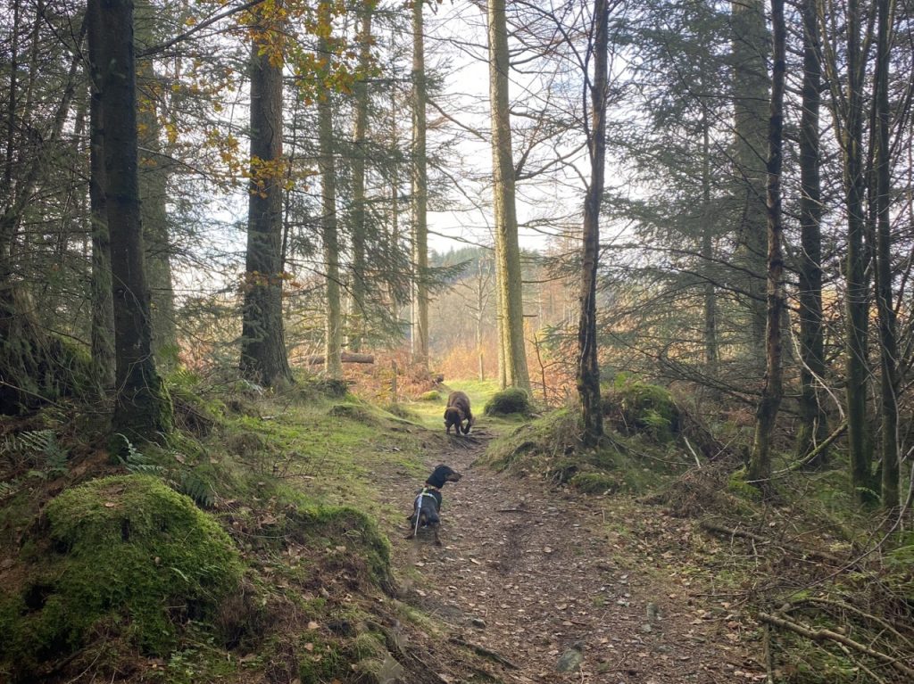
4.24 miles 2h 2m ascent 145m -success 25/11/2022
A Monica is a hill named on the OS 1:50k map. A Mabie Monica is such a hill in Mabie. Some hills don’t have a marked summit and their upper contour lies only partly in Mabie. These have an asterix in my list. Locharthur’s highest point actually sits just outside the boundary wall. It is marked on the 1:25k map.
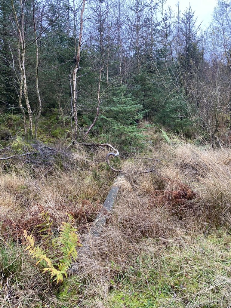
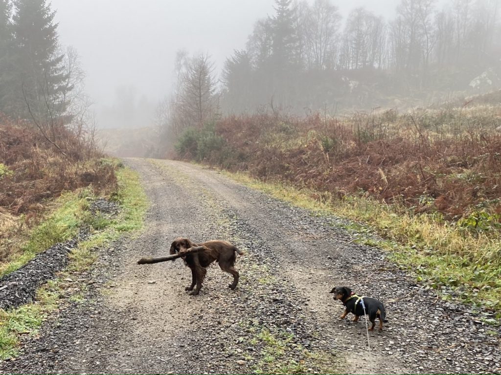
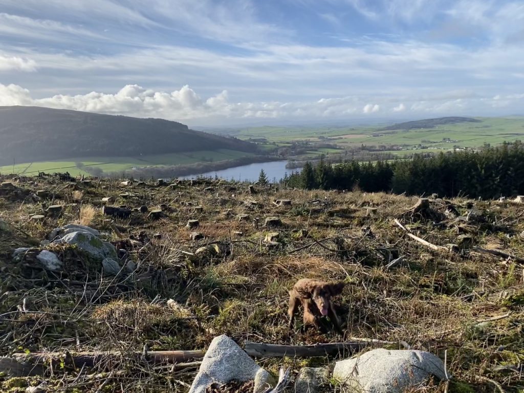
I set out on the 24th to go up Craigbill Hill, intending to use the old MTB track from the west side but found it completely overgrown so had a go at Locharthur Hill instead. It is mature forest and should have been an easy walk but a great many of the trees have fallen. Having gone up and down three times trying to find a way in, I eventually found my way completely blocked about 30m from the summit. All efforts to get by the trees failed and when it started to rain, heavily, I gave up.
Continue reading6.48 miles 4h 12m ascent 197m
Stenkrith Park-Thrang
Part 10 was to be Stenkrith to Hellgill with a loop back to Thrang along the Pennine Bridleway. But misfortune struck and we only managed the Thrang-Hellgill-Thrang loop of part 10. We had to miss out the five or so miles from Stenkrith to Thrang. Today we plugged that gap.
Continue reading1.67 miles 1h 22m ascent only about 80m
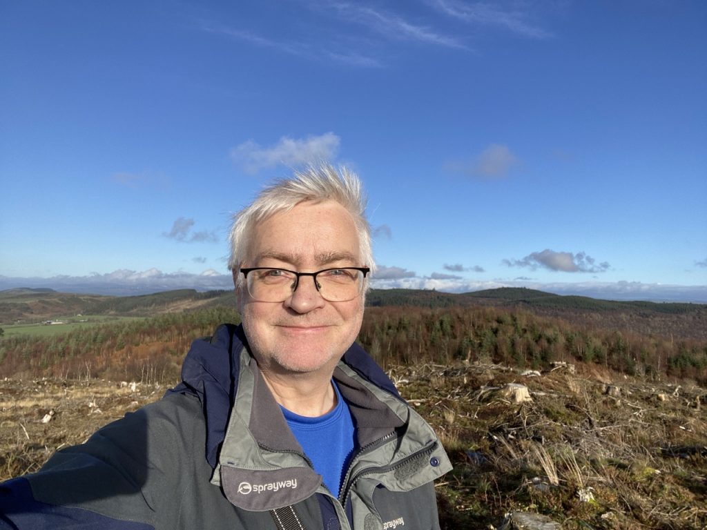
Second failure, in two days, to reach its summit. The first, yesterday: I had intended going from the summit of Lochbank Hill across the Craigend Hill, which is really just a second top of the same hill off to the SW. But Lochbank’s top has been felled and the the way across looked as though it would be a bit of a bind.
So, I was back to have another go at Craigend Hill.
Continue reading2.37 miles 1h 14m ascent 137m
I had intended walking up Lochbank Hill then across to Craigend Hill but Lochbank had been recently felled and was a bit of a trudge, finding a way though the debris. I didn’t fancy flogging through more of that to get over to Craigend Hill.
[sgpx gpx=https://www.screel.co.uk/walks/wp-content/uploads/2022/11/RK_gpx-_2022-11-19_1157.gpx]
5.04 miles 2h 2m ascent
Hillhead Hill, Woodhead Hill
That’s the Mabie Monicas done….ish.
Continue reading3.26 miles 1h 21m ascent 175m
Larch Hill from the Yellow Trail
“The planted larch trees are burnished gold.
Tomonari
What a wondrous forest they have become.”
Wee Monica: definition – a hill whose name appears on the OS 1:25K but not the 1:50K.
Continue reading4.2 miles 1h 54m ascent 232m
Craigbill Hill, Auchenfad Hill
A Monica: a hill with its name on the OS 1:50k. A Wee Monica is named on the 1:25k, but not the 1:50K. Not every hill has a marked spot height, so I have chosen to include any hills whose highest contour is in the area bounded by the Forestry boundary. There are six Mabie Monicas, but two of those have their summits just outside the boundary, but within a biscuit-toss. Of the four Wee Monicas, one has a top outside the boundary. I’m not sure if it a biscuit-toss away, but a pebble-toss, yes.
Continue reading