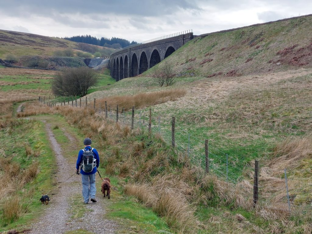
10.68 miles 5h 42min ascent 279m
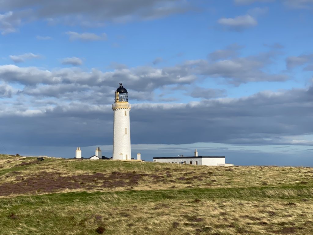
Part 1: The Mull of Galloway to Myroch Point
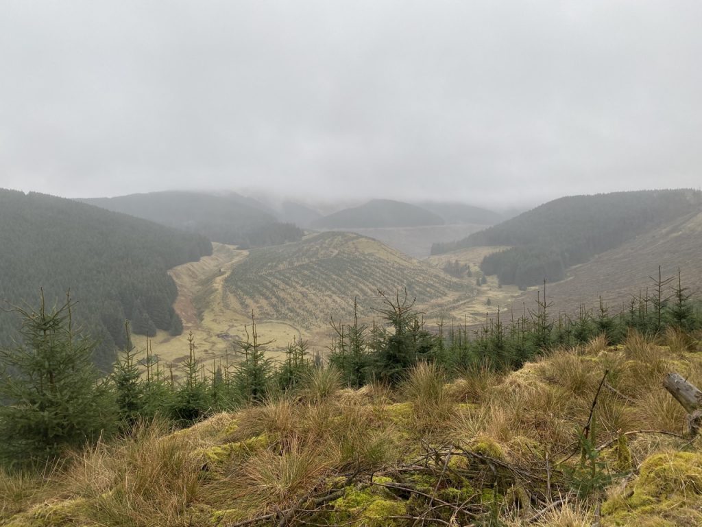
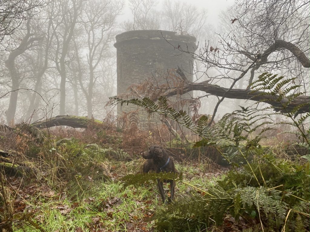
It had been quite a while since we had had our walking boots on for anything more than ceremonial purposes, so I had planned a short(ish) section for our return. Just 10 miles. And how pleased I am that I hadn’t thought “way marked trail, no big hills” and gone for a dozen miles or more. The Mull of Galloway Trail has been allowed to mature into its surroundings and has, in places, been suborned by agriculture or reclaimed by nature. It seems to have been way-marked by the sort who look at the map but do not walk the trail they advise.
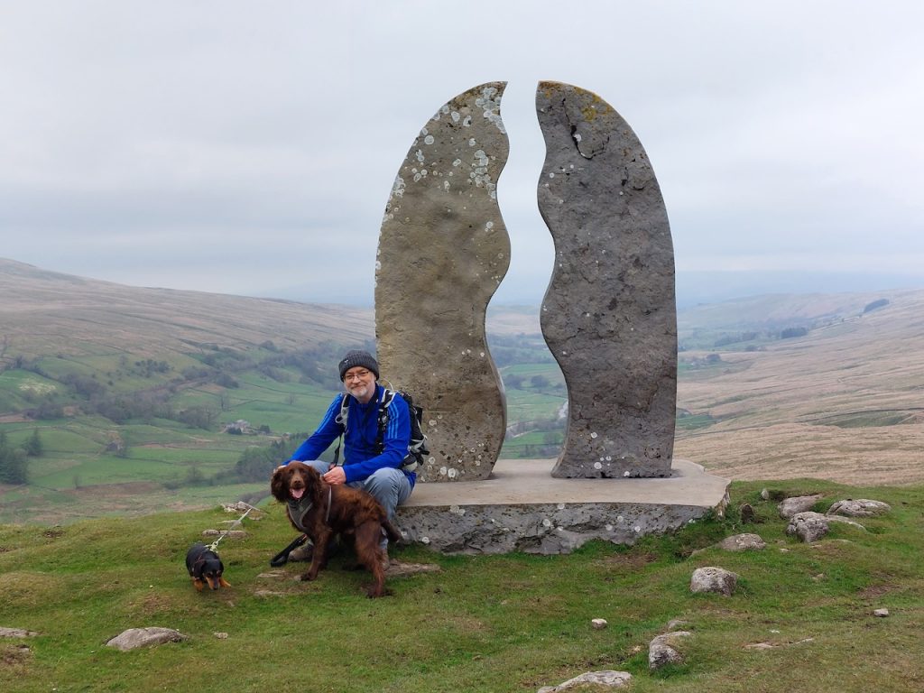
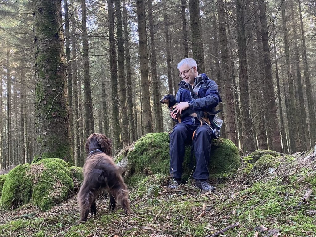
That said, it was an enjoyable outing. That is not to say that we always enjoyed it in the specious present, though it was agreeable at times. And just as sweetness is better appreciated with a relish of sour, our pleasure was perhaps enhanced by a pinch of adversity. By the time we could glimpse the car and the end of day’s walk was in sight, the sourness was forgotten. Mabel gave up the ghost a hundred metres from the car and had to be carried. Perhaps the dose of joy was just too much for her to carry.
I look back now and remember sunshine, hedgerow flowers, sea birds, rock formations, shingle beaches, cows and sheep on cliff-tops, deer bounding across the fields, the Scare Rocks and views of the Isle of Man, and her calf, across 25 miles of sea. The overgrown, and sometimes elusive path, the fences we had to climb and bramble-laced hedgerows we tramped through are still clear in my memory, but their emotional effects are melting away.
Continue reading