
5.98 miles 3h 47m ascent 110
Garlieston-Cruggleton return, and Torhouse Circle
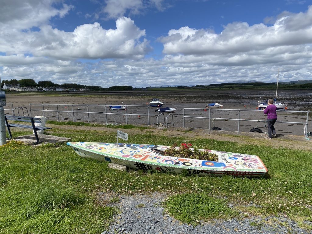
Garlieston Harbour is the closest port in Scotland to the Isle of Man. A sign warns that this is a working harbour and I can understand why such a sign was needed. It was once a busy fishing port but now mostly used by leisure sailors and sea anglers. We saw only one vessel that might have been a commercial fishing boat and that was high and dry
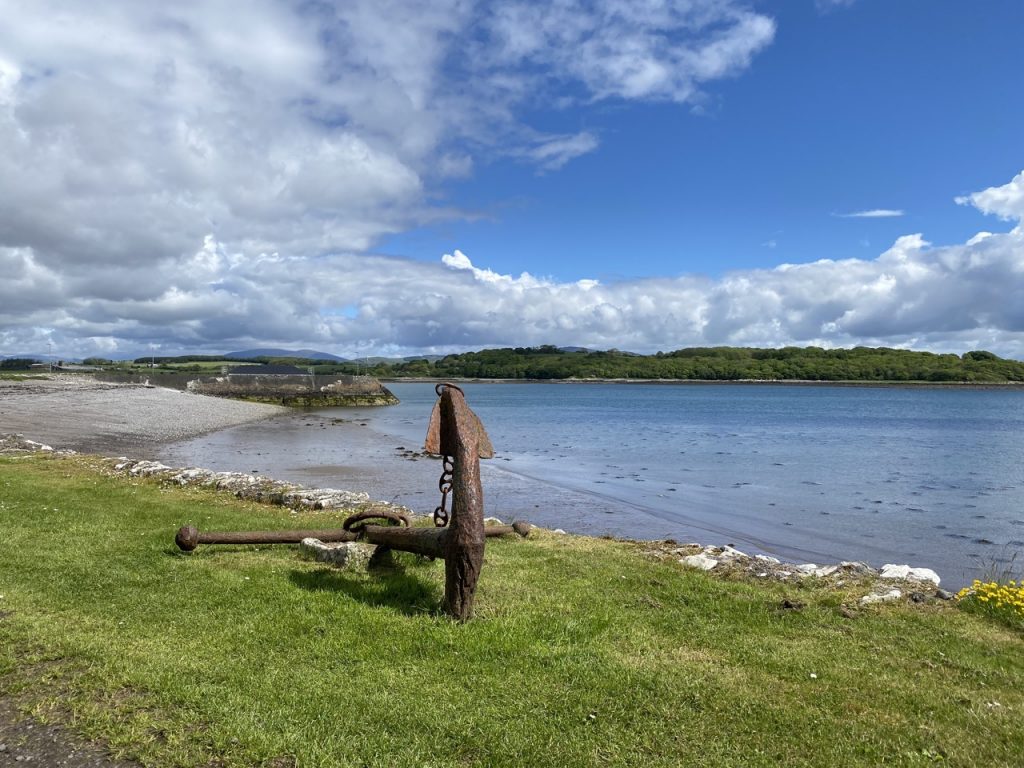
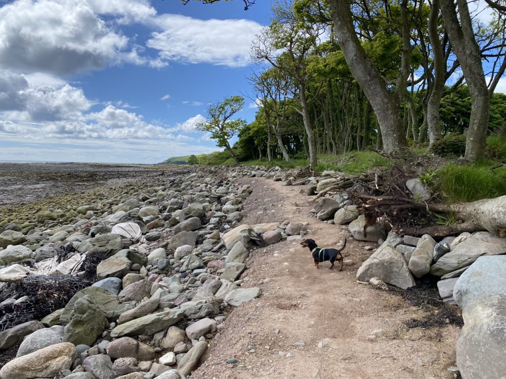
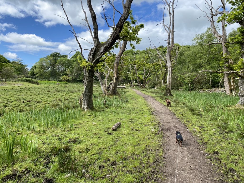
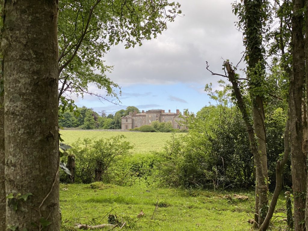
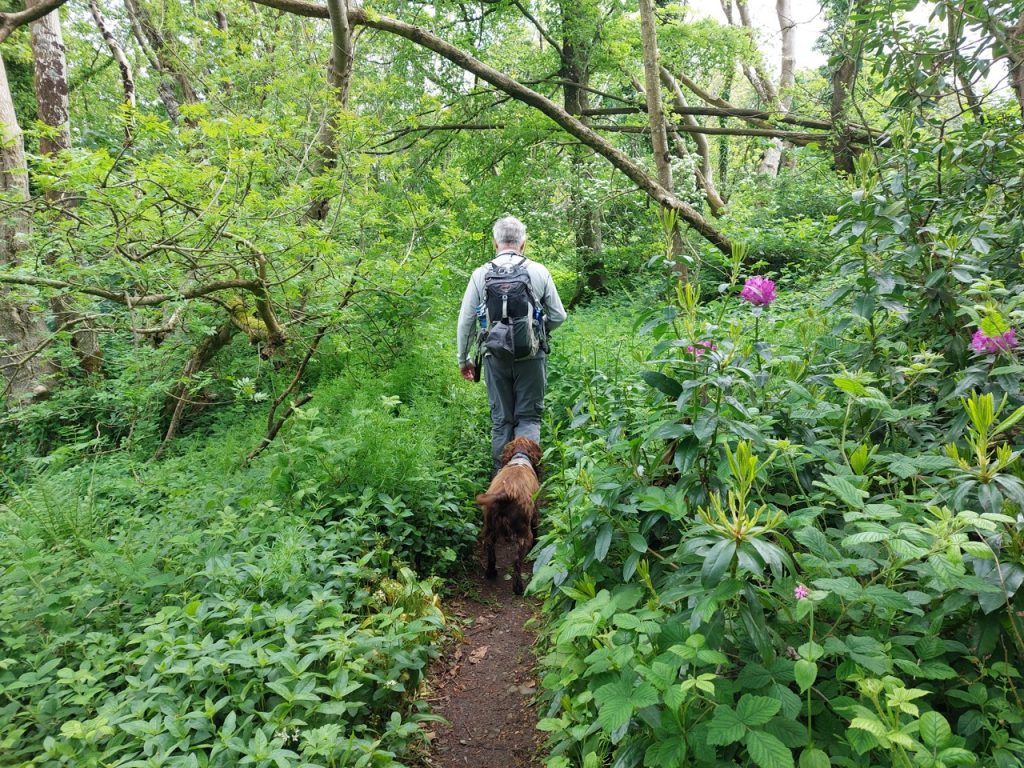
A path from the harbour leads along the foreshore, past a rusty anchor and a stone breakwater and then into mature woodland. The yellow flag and reed like plants beside the path warned of its wet nature and any straying from the path needed care. The path itself was muddy in places but planks had been placed haphazardly that kept us out of the worst of it. We could see Galloway House over a rather sorry Haw-Haw while between us and the sea a herd of cows grazed the wetland. Once the ground firmed up a little the ground was covered with wild garlic and that was the scent of the day.
Galloway House was built in 1740 for Lord Garlies who also had Garlieston constructed. It served as home for the family until its owners met financial difficulties. It has seen use as a hospital for recuperating servicemen and as a boarding school. It is now in private hands again though the gardens can be visited. We walked through some of these on the way back where I saw my first Pocket Handkerchief Tree (Davidia involucrata). Apparently there is an example in the Crichton Gardens, but I don’t recall seeing that one.
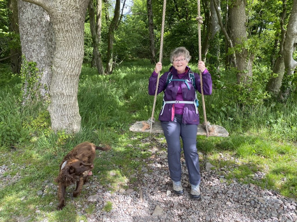
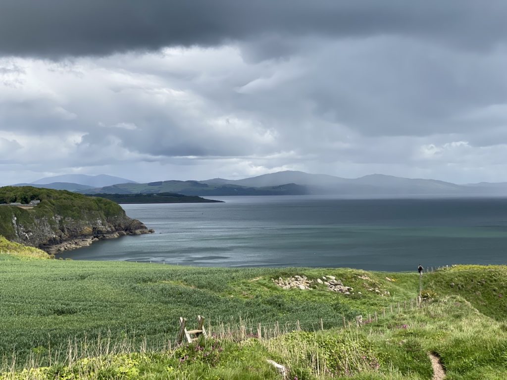
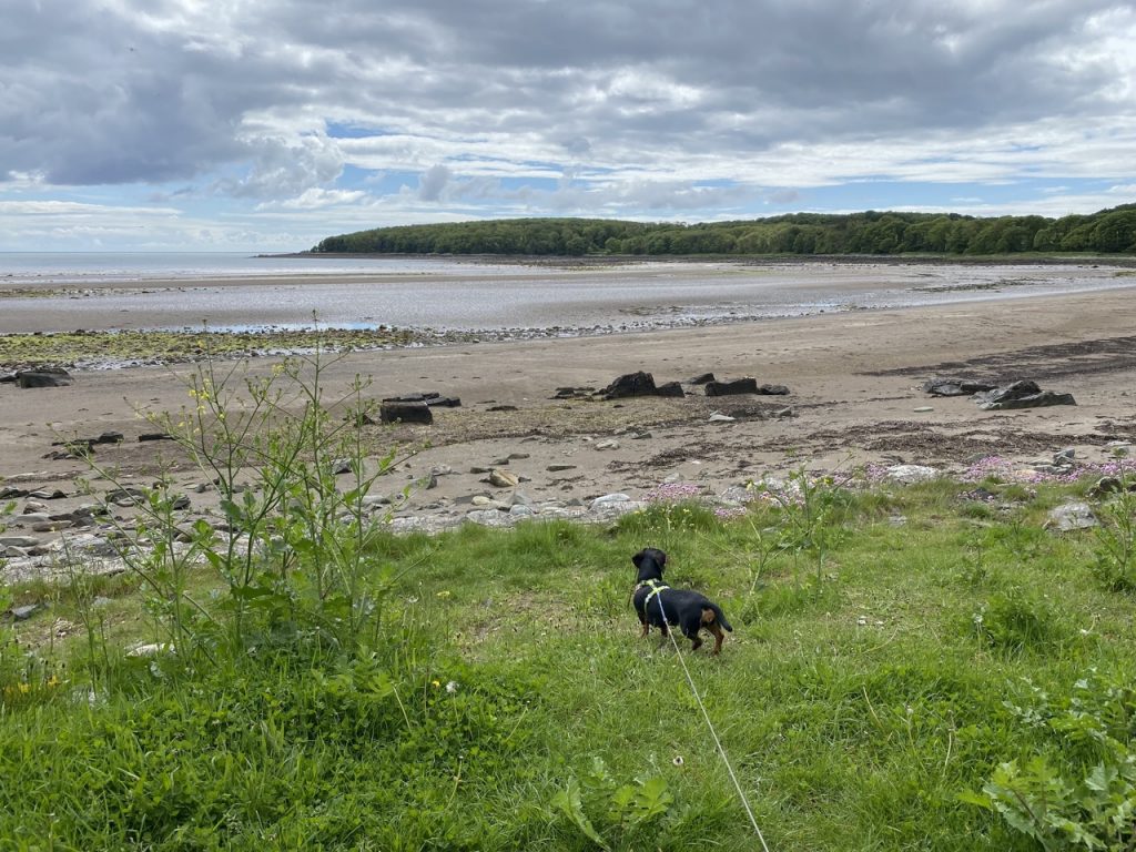
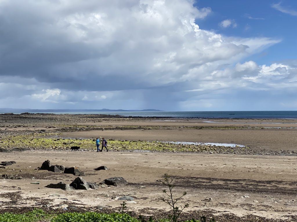
This brought us to Rigg Bay (a.k.a Cruggleton bay). The tide was going out so there was a wide expanse of sand. We kept to the path within the trees on the way out but walked across the sand on our return. There were picnic tables and a couple of swings. A large plinth must once have sported an information board, but it bare now. Perhaps a new one is being made?
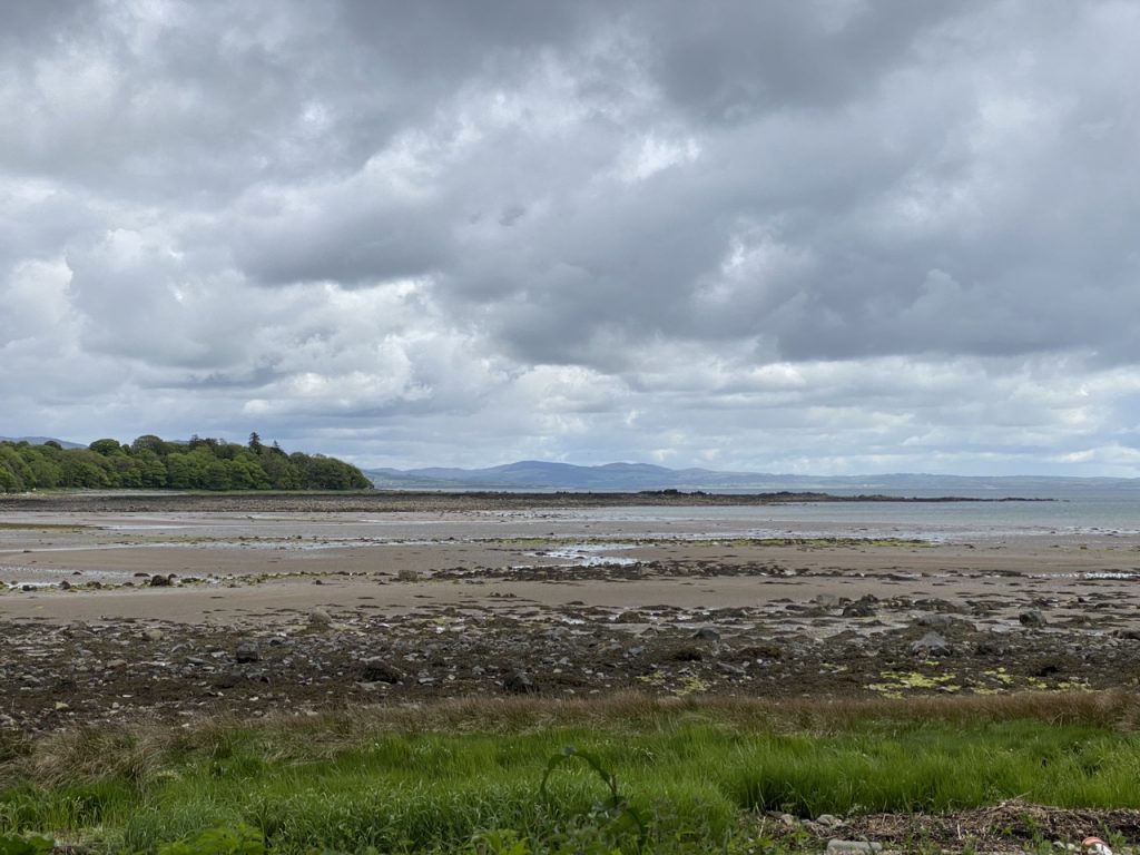
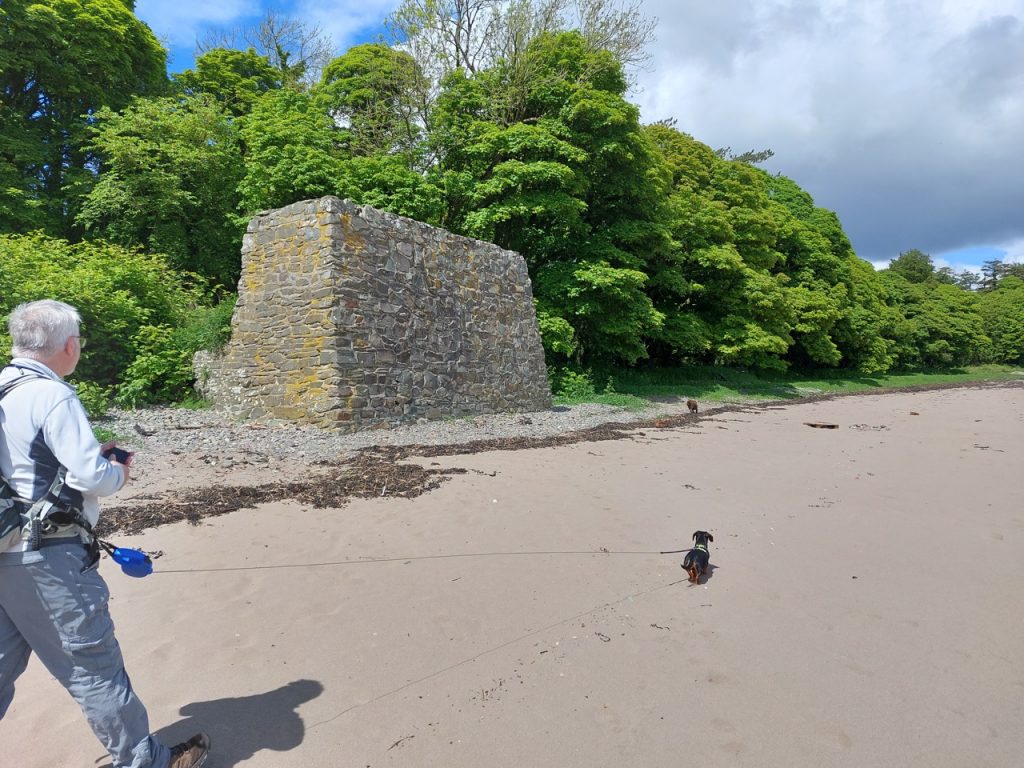
During World War II, Garlieston harbour and Rigg Bay were used for testing the Mulberry Harbours that would be used on D-Day, there being some similarity between the shores here and at the Normandy landing sites. Some remains can still be seen. There is a large stone construction on the shore-line and we could see some peeping out of the sea as we returned. On the outward leg, though, all we saw was the bouy marking its position.
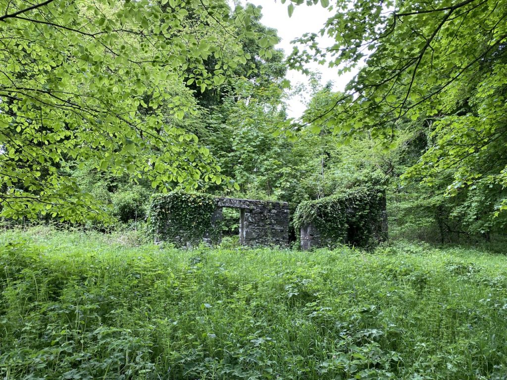
We past a ruined cottage overgrown, then the path took us beneath a screaming rookery and I looked up to see a real crow’s nest. There was certainly a great deal of cawing, but recognisably different phrasing, if that’s the right word.
On the far side of Cruggleton Bay we found ourselves on a clifftop and Christy’s exploring had to be curtailed (no pun intended). He was back on his lead for a while. We could see the arch of Cruggleton Castle ahead now but there were fileds of grass, barley an wheat to walk arounf first. The stiles had been replaced by kissing gates which was a great help, though the very last fence had a ladder stile with one missing rung and a loose top. At least it kept us alert and gave us some stretching exercises.
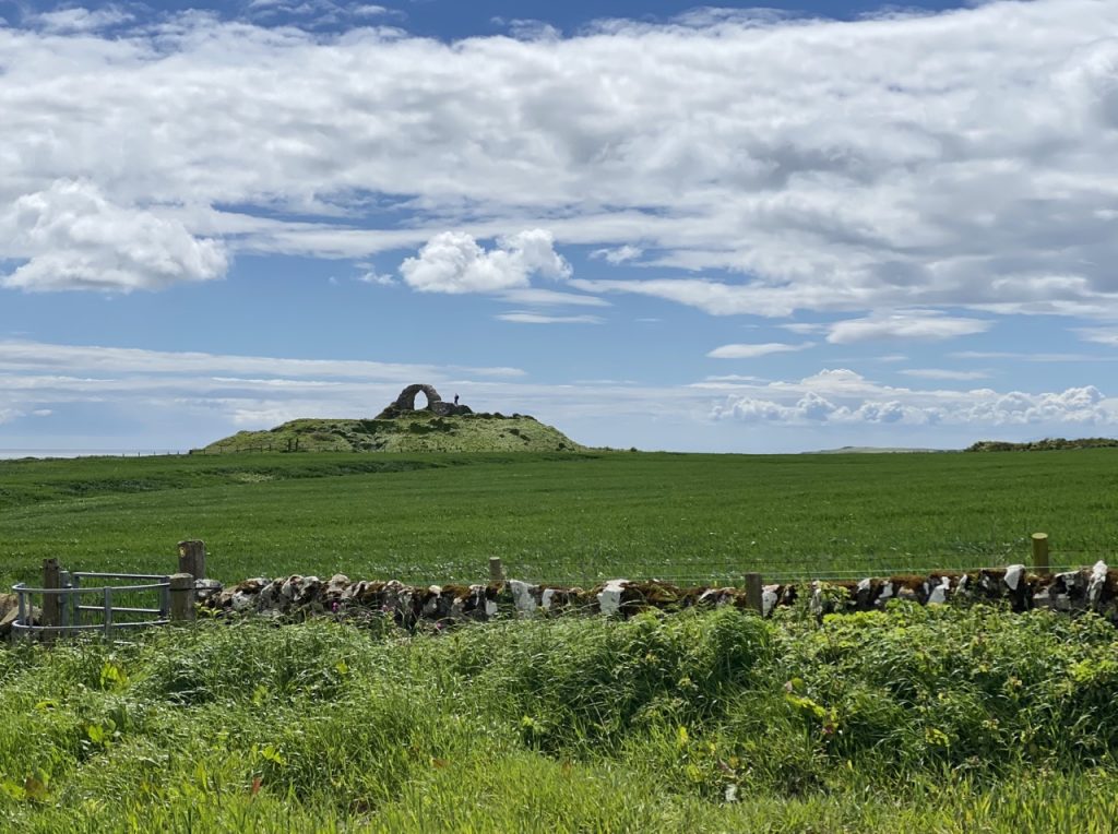
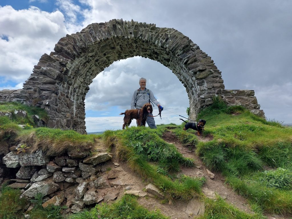
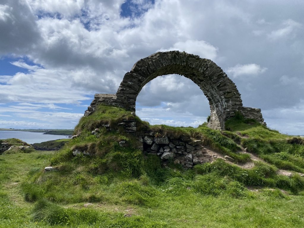
There has been a fort of some sort here since at least the first century AD. When it was captured by Edward I in 1289, the Castle had eight towers. It saw military action well into the 1500s but was abandoned as a ruin in 1680 and was then dismantled for building material. There are wide views from the castle, the likely reason it was built here. And from the castle we could see the rain approaching from Wigton Bay.
The rain got us on the way back.
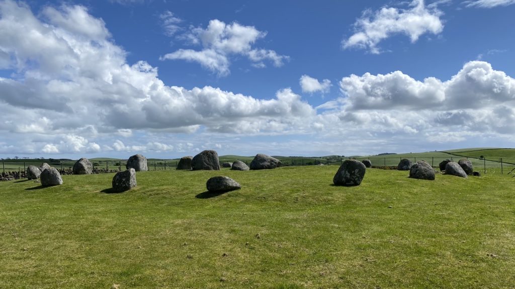
After the walk we called in at the Torhouse Standing Stones. A 22m bronze age stone circle of 19 large granite boulders. The three upright stones in the centre of the circle are known as King Galdus’s Tomb (the legendary Scottish King who drove the Romans out of Galloway – though the stone circle predates him by a couple of thousand years). There is also another row of three stones just across the road.
[sgpx gpx=https://www.screel.co.uk/walks/wp-content/uploads/2022/05/RK_gpx-_2022-05-24_1059.gpx]
