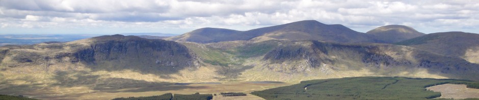
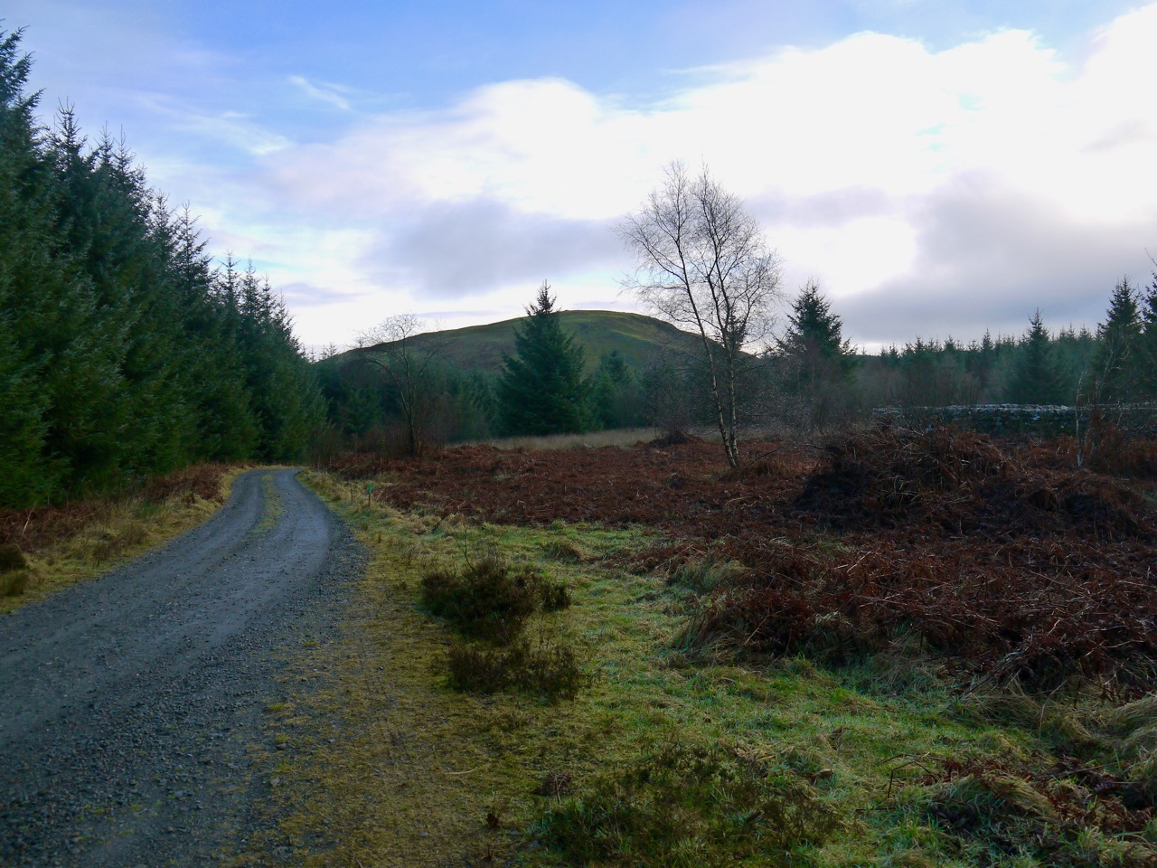
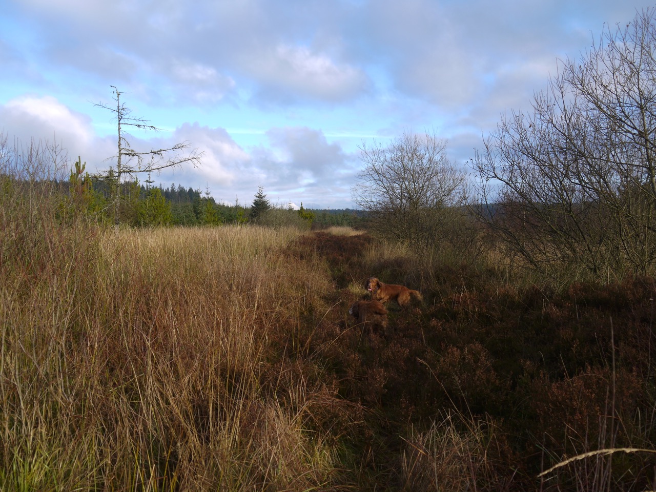
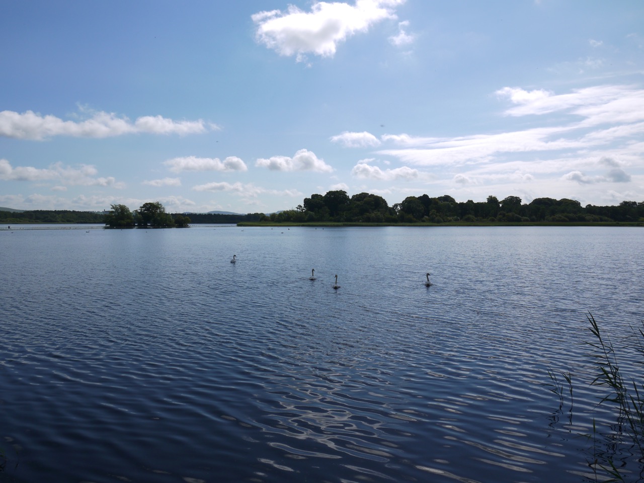
After the wildness of Loch Trool we had a country of plenteousness and peace. (The Heather Moon)
Stricken with the flu then cursed with a dodgy knee, I had been out of action for a few weeks so other than short walks with the dogs I had gradually lapsed into unfitness. This outing was to gently ease me back into regular walking.
We found a surprising number of cars at the Caldons car park, given it was a weekday, but only saw other walkers a couple of times and then only in the distance. Caldons still has the look of a campsite with its paths and hard stands, albeit without any caravans or tents. Trees still stood over the old campsite but once we had crossed a couple of small footbridges the canopy was gone. Audrey had forewarned me that the forestry had been felling by the loch. She had been turned about and sent away by the loggers the last time she tried to walk here. I was still quite surprised how much it had changed.
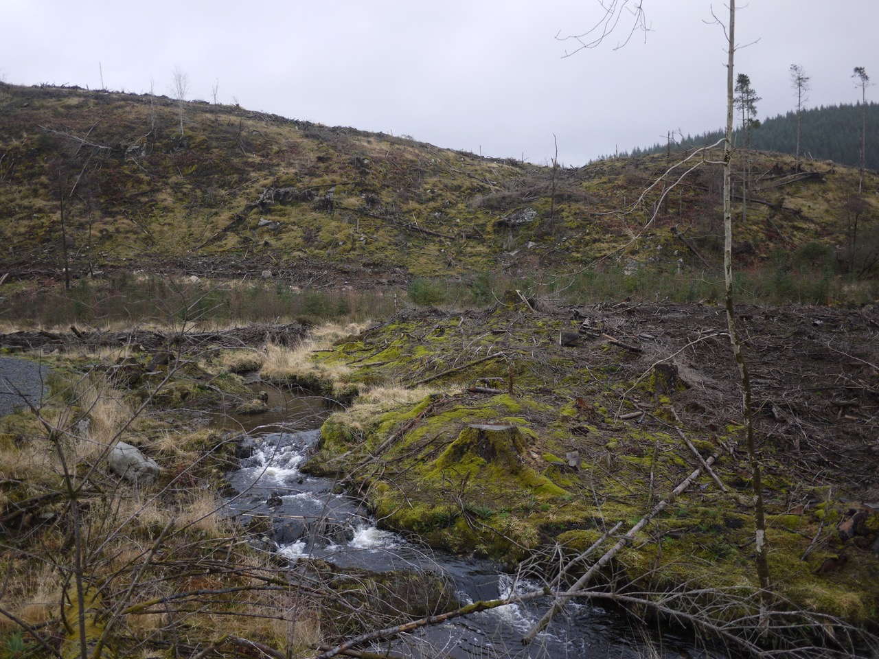
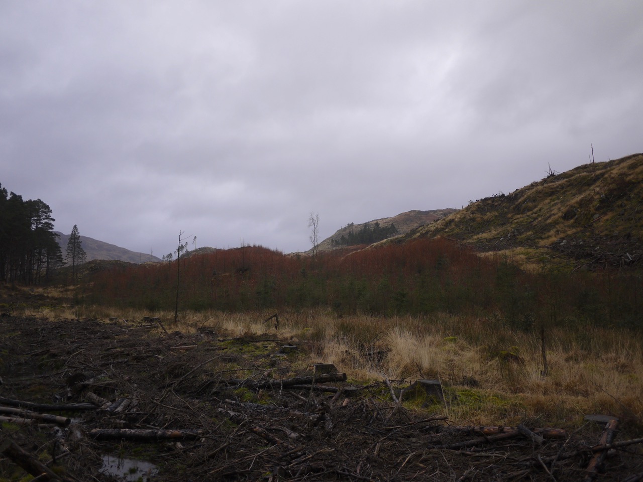
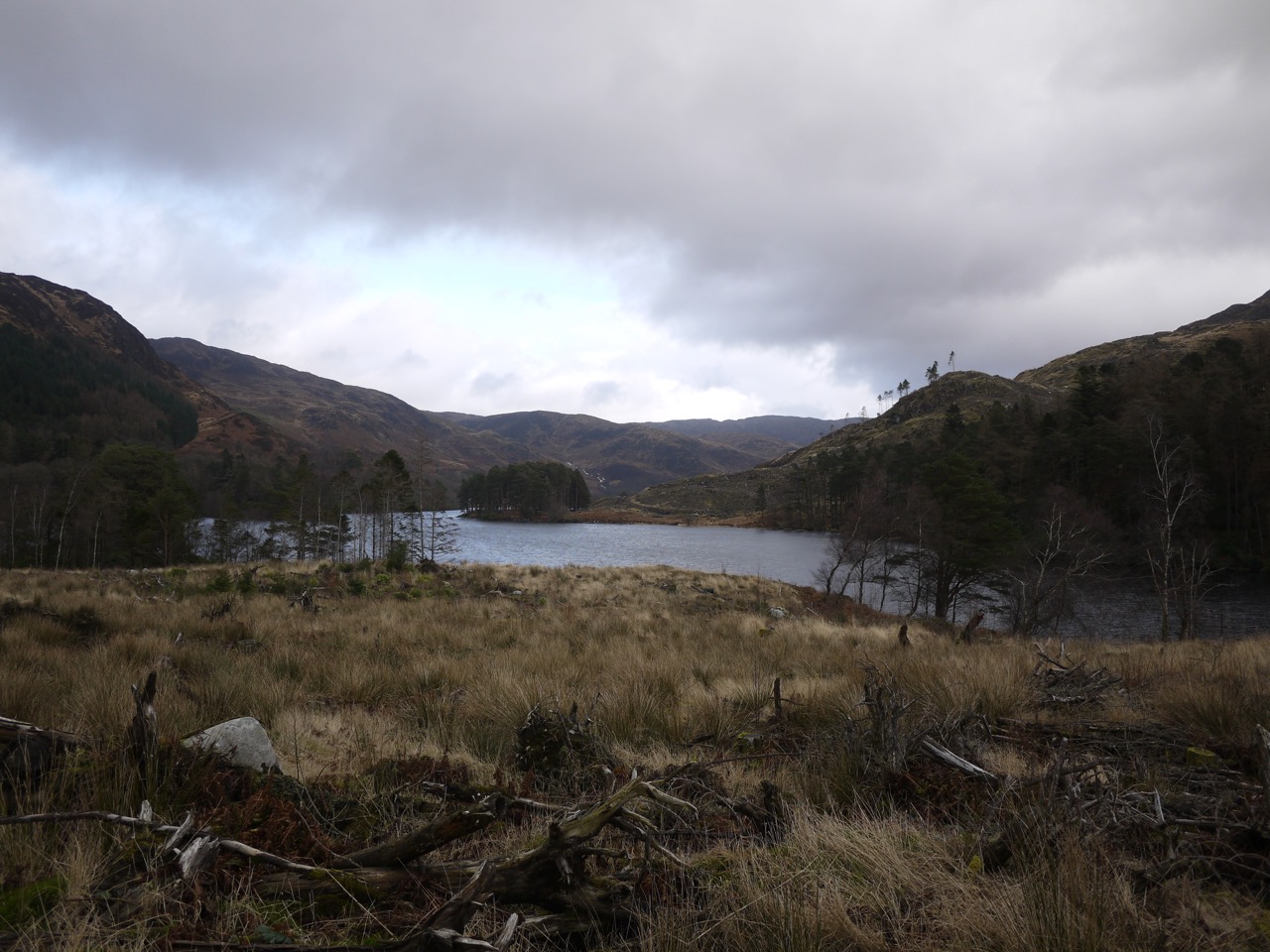
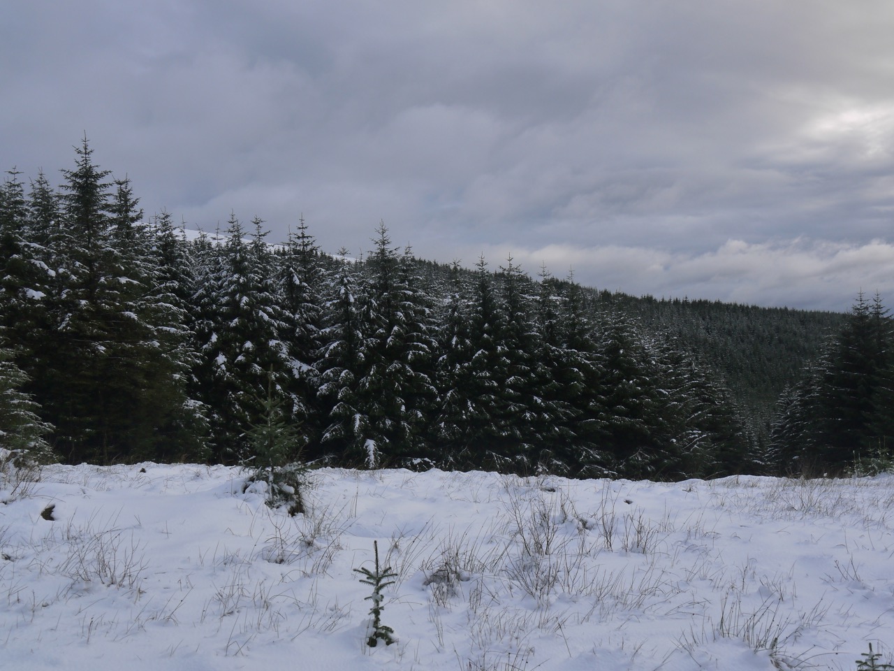
Newly felled forest by Loch Trool
The slopes beside the loch’s southern bank are now open, the trees gone, leaving the usual mess of broken branches and tree stumps. I think the experience of walking in a more open setting is quite different from walking in a forest. Even though one can glimpse more distant features through the trees when walking in forest, I find myself looking at closer features, the moss on tree trunks and the path itself, whereas with the trees gone, my eyes are drawn to the hill-side slopes and the hills.
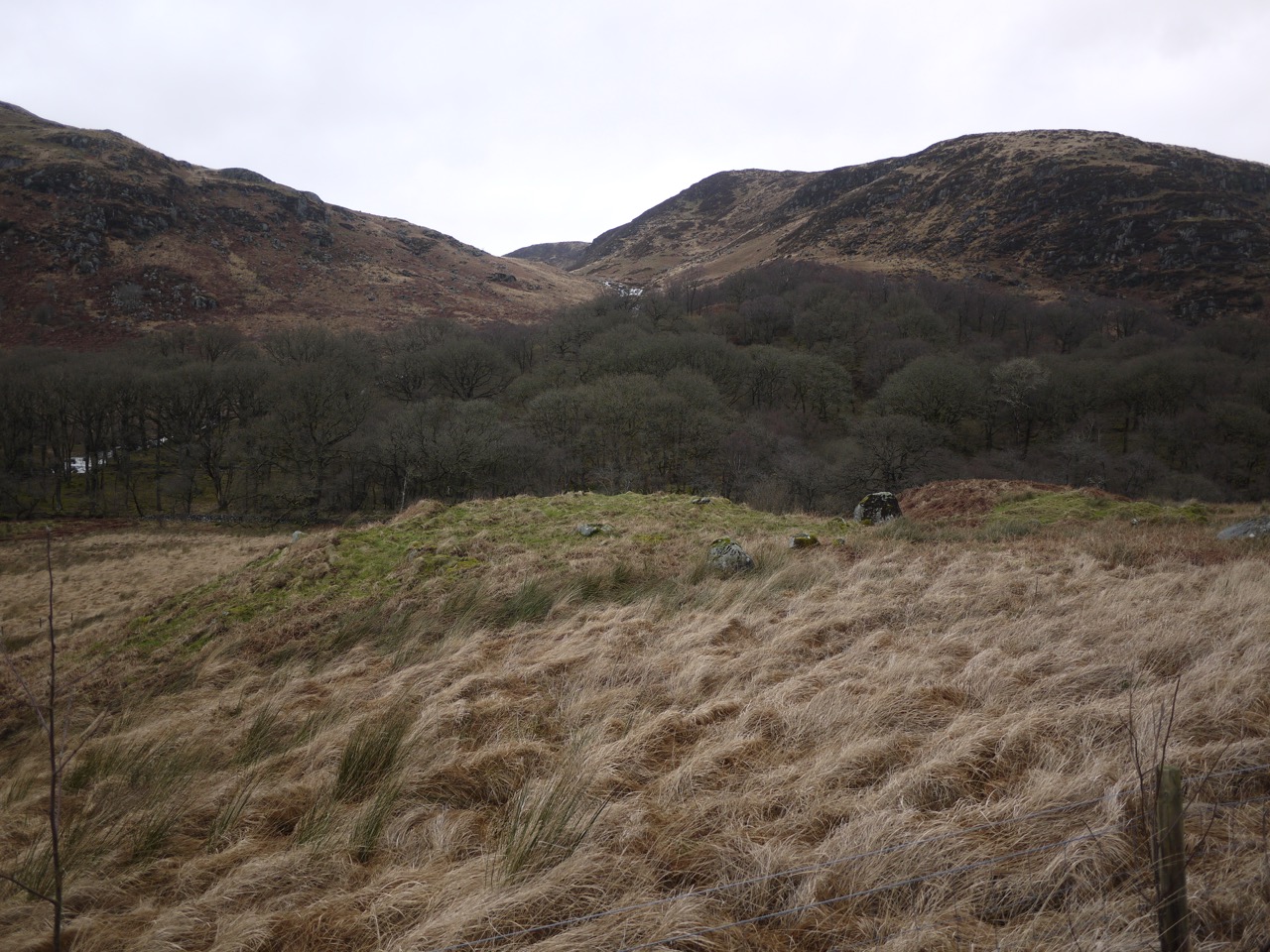
Trool stone circle?
I found myself wondering how long it might be before the ground is re-planted, and if it will be more conifers or perhaps the broadleaved trees that had lent their names to nearby features (Caldons/calltun/Hazel, Ringielawn/leamhan/Elm, and Drumnaminshoch/uinnsean/Ash). I seem to remember reading that the forestry commission work on a sixty year life cycle for pine but longer for broadleaved trees, with a couple of years left between harvesting and replanting. That said, I am sure I have seen plenty of areas which have been left longer without re-planting.
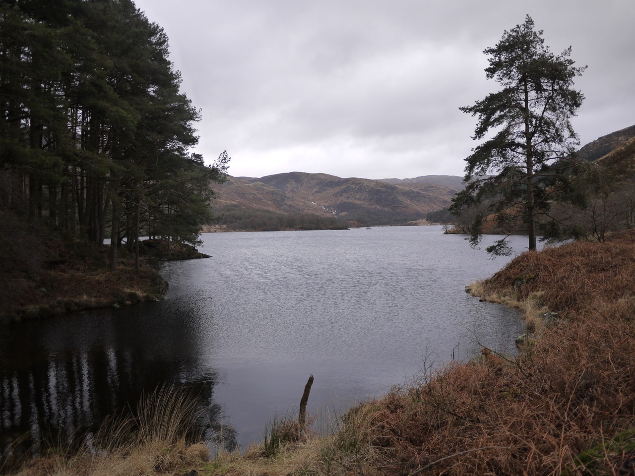
A couple of stands of tall Scot’s Pine have been left beside the loch, the second beside the tiny bay in the photo at the top of the post. I have a feeling as well that the path has been re-layed, but I can’t be sure. The SUW info sign about the Battle of Glen Trool seems to have gone with the trees, but as we reached the eastern end of the loch there we found ourselves back amongst trees.
Young conifers
Spring isn’t yet showing itself except perhaps for some subtle features. A stand of young conifers was a mixture of bright green, spruce I think, and some slightly taller orange trees which might be larch. I don’t think these are as orange in the winter and the more intense colour seems to come as the years new growth starts. Looking across the loch, as seen in the picture above labelled “Trool Stone Circle” there are trees across the glen of the Giarland Burn, and though it is not obvious in the photograph, the upper trees have a purple hue due to new growth.
The path winds climbing and falling above the loch often giving great views of the opposite hills with white ribbons of water tumbling down the Buchan and Gairland Burns.
The bog myrtle was beginning to make itself known beside the path, its purplish brown buds standing out against the pale yellow of the grasses. I crushed a bud for its sweet smell and after that I was sure I could smell it on the wind as we walked by more of the plants.
A small knoll close to the eastern end of the loch had what appeared to be a circle of stones, but I cannot find any record of a stone circle here so presumably these are just boulders that happen to look like a circle rather than a man-made artefact. (Edit: It looks as if this might have been the ruins of Ferrachbae, yet another name involving a tree, the trysting place of the birches, bey.)
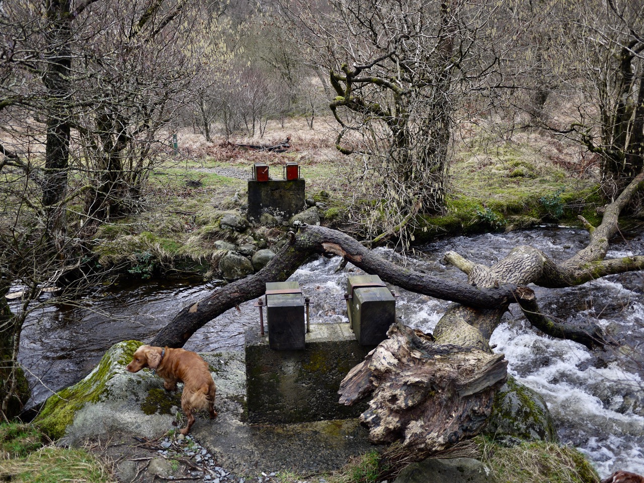
Missing bridge at Glenhead
The small footbridge at Glenhead is no longer there, but a twisting tree trunk crosses the water for the more adventurous explorer. I would have used it but what with my dodgy knee I decided to walk the extra hundred yards to the vehicle bridge.
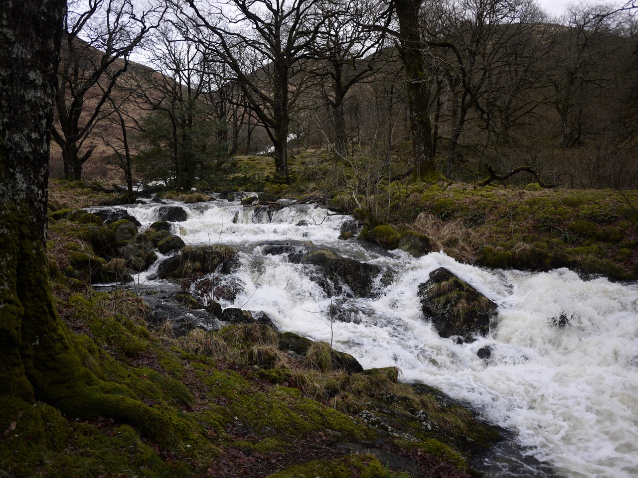
Gairland Burn in spate
We could see the Gairland Burn in spate from early in the walk, white against the brown of the hills, and once we reached it it was truly roaring.
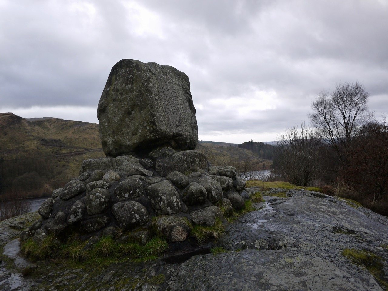
Bruce’s Stone at Loch Trool
And we couldn’t walk by Bruce’s Stone without a visit. The inscription recalls Bruce’s victory in the Battle of Glentrool.
“In loyal remembrance of Robert the Bruce, King of Scots, whose victory in this glen over an English force in March, 1307, opened the campaign of independence which be brought to a decisive close at Bannockburn on 24 June 1314”
Bruce’s Stone at Loch Trool
After the monument we were on road for a little while but were soon back on a footpath down to the western end of the loch. A couple of years ago we sat by the loch here eating our lunch, listening to the loud chattering of swallows as they danced across the water. No swallows in February though. And a bit chilly to stop for sandwiches.
Western end of Loch Trool
A pleasant walk, a little different than my other visits here but my knee held up, until I sat down at home to type this, when it stiffened leaving me hobbling about.
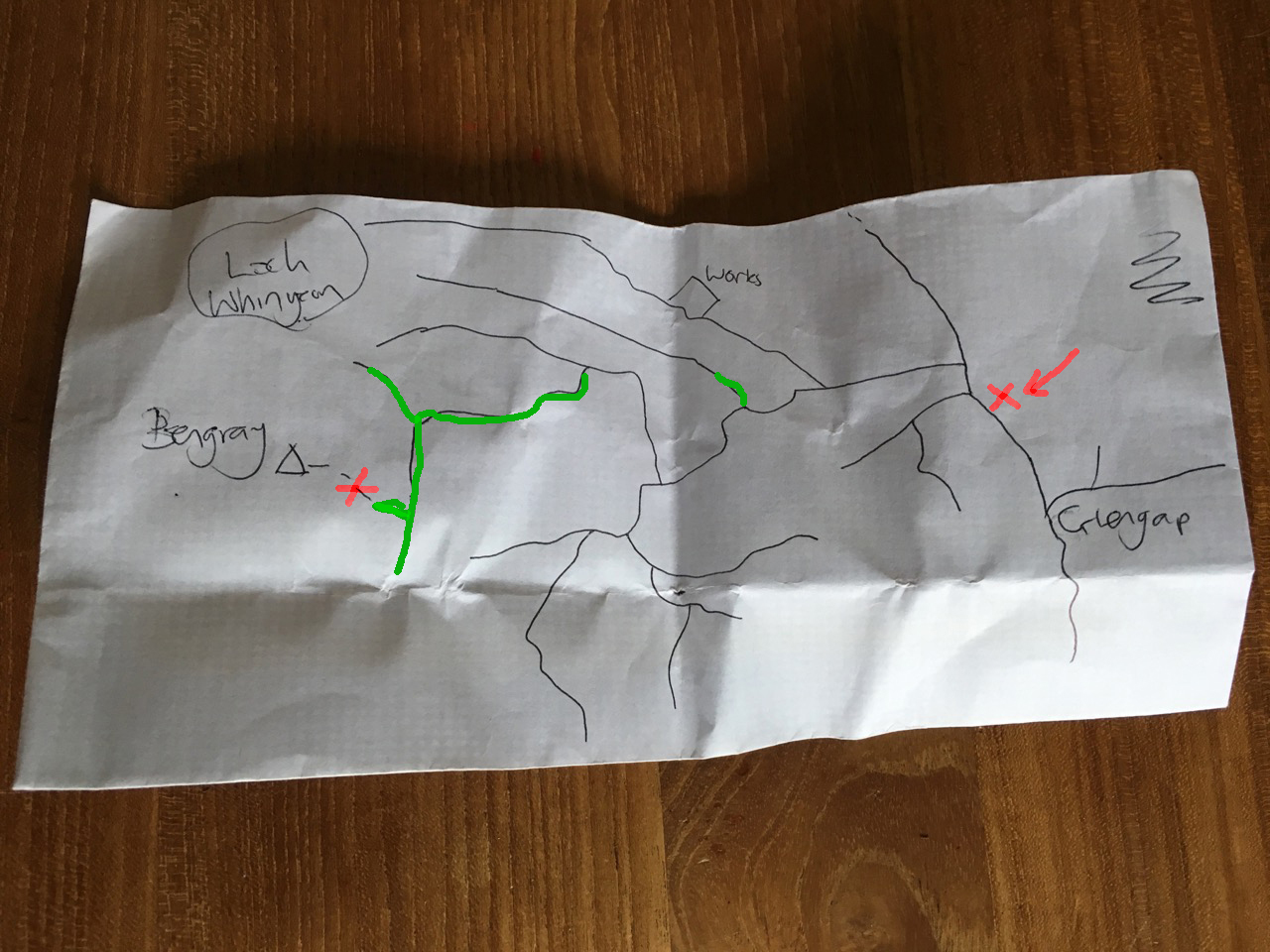
Another wee forest walk, this time in Glengap forest which takes its name from dock leaves. I had drawn out a simplified route on the back of an envelope, using the OS 25k as my source. We started at the X (on the map) near Glengap and set off with the summit of Bengray as our target.
We crossed the Red Nick Burn and followed the forest tracks. The mapped tracks were not always obvious on the ground. We were to take the second left then the third on the right. The second on the left though was difficult to differentiate from a forest break and when we eventually got the the third on the right I was uncertain if it was the third (the forest break having been the second) or actually the second.
The real test was to look out for the track on the left after a left hand turn in the path. On we walked unable to see anything but trees around us wondering if we were on the the correct track of the one running parallel to it. The map wasn’t much help because the parallel paths had the same ups and downs and crossed the same minor streams.
We walked past an opening to our left and I wondered aloud if that was a path but we looked along it and discounted it as a forest break.
A change of plan was needed so we decided to continue along the track we were on, which should have led us to within a couple of hundred metres of Loch Whinyeon no matter which path we were on. We could then decide whether to retrace our steps or head up Bengray from the Loch.
So on we went, for about another 200m before the forest track we were on came to an end with no obvious way on through the forest. This is very different from the appearance on satellite views on google maps, so the old track must have become overgrown. we turned about and headed back the way we had come.
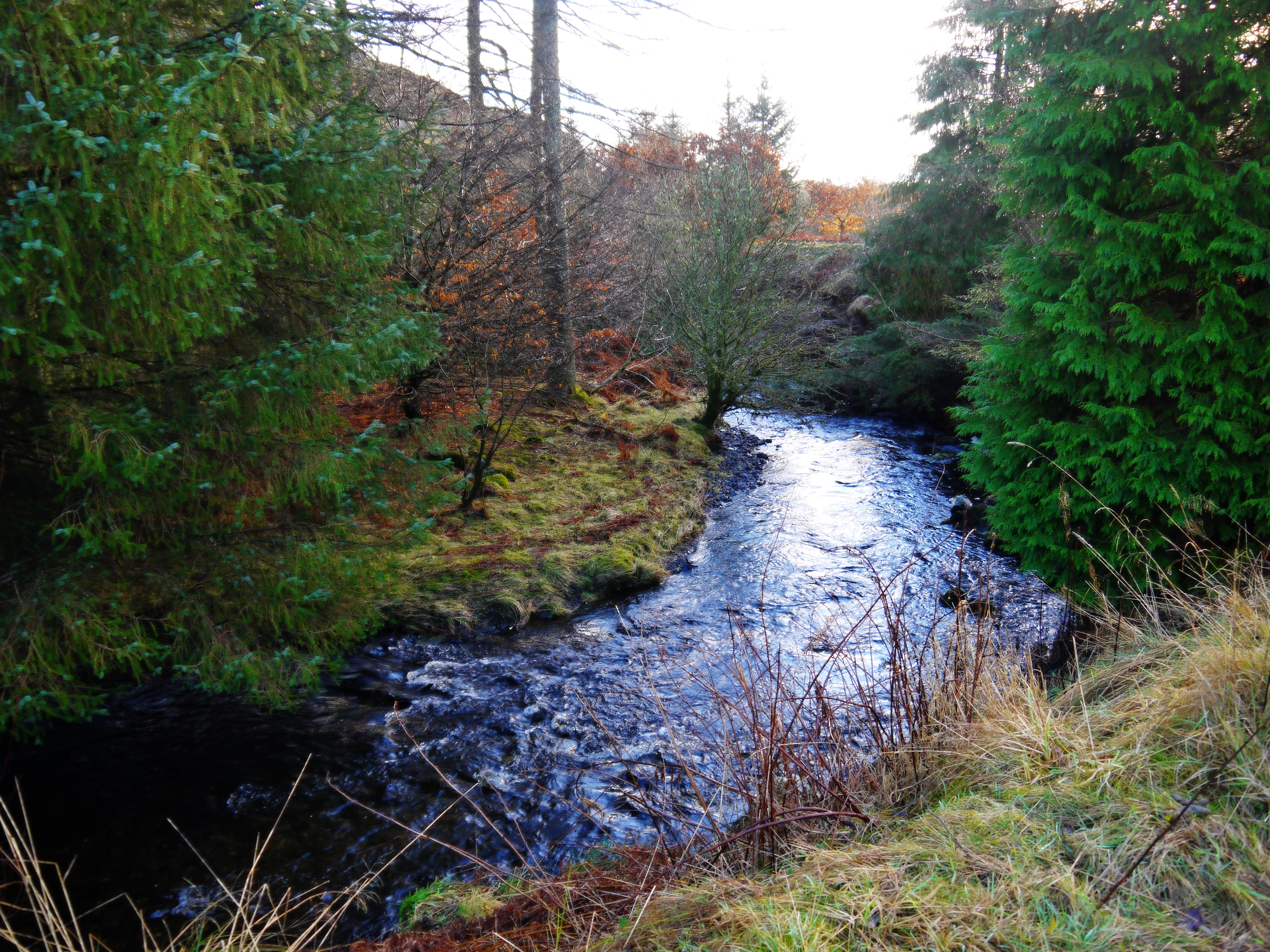
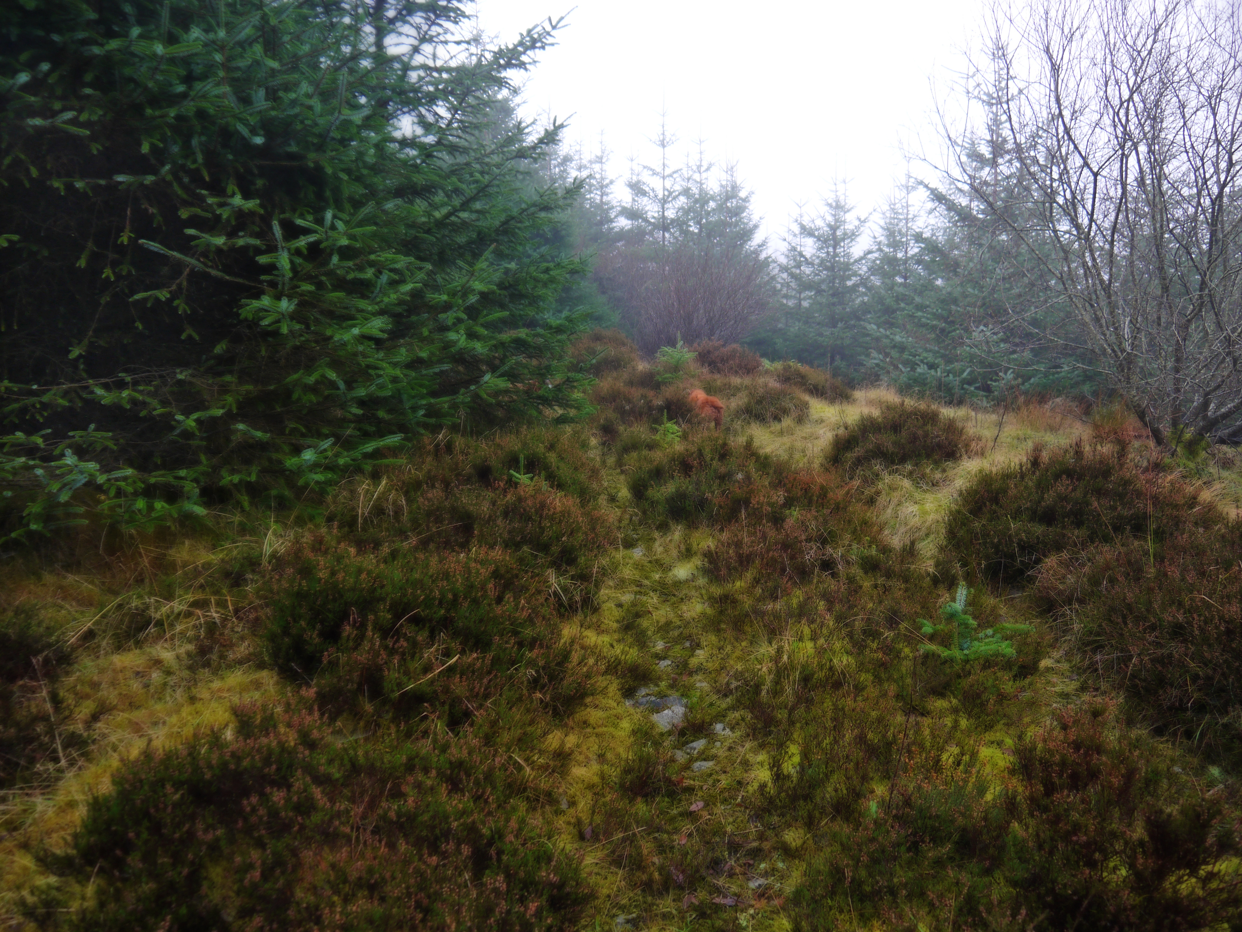
The “forest break” we had passed tempted me and we decided to see how far it went. It soon became clear that this was the path we were looking for but it was now quite overgrown. The photo below is a little further along on a section where the old path could be made out. In other sections you wouldn’t know you were on a path.
The sections highlighted in green on the map at the top are heavily overgrown.
The OS 50k shows a route up to Bengray, but we did not find it. When the overgrown track eventually gave up the ghost, we tramped through boggy ground and then up a steep section through old bracken. We were then in mist and the going became increasingly difficult. Once up the steep slope we found ourselves still quite a way from Bengray’s summit with very uneven rough heather covered ground to cross.
I decided that with my dodgy knee I would turn back and Audrey agreed with the plan. I could have used Sweep, poor old dog, as an excuse but he actually seemed to by managing the heather OK.
Big Water of Fleet to Little Water of Fleet along the old railway
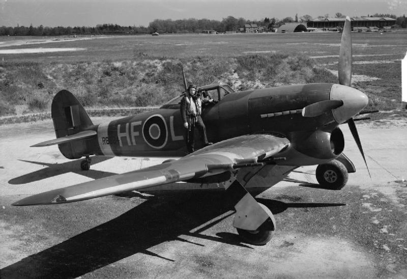
This was a wee walk along the old Paddy line from the viaduct over the Big Water of Fleet to the Little Water of Fleet. I had hoped to find the memorial to a crashed WW2 airplane , a Hawker Typhoon.
On the 18th March 1944 No.440 and No.439 Squadrons of the Royal Canadian Air Force were being moved from RAF Ayr to RAF Hurn, Bournemouth, via RAF Woodvale in Lancashire. Together the two Squadrons were flying a mixture of Typhoons and Hurricanes for offensive operations over France in the run up to the D-Day landings. While on the first leg of the flight to Woodvale P/O Mitchell in Typhoon JR439 lost control of the aircraft which dived into the ground close to the then active Dumfries to Stranraer railway line just to the west of the now demolished Little Water of Fleet viaduct and Loch Skerrow. It was however the following day before the wreck was found and confirmed to be that of the missing Typhoon. (from Peakdistrictaircrashes.co.uk)
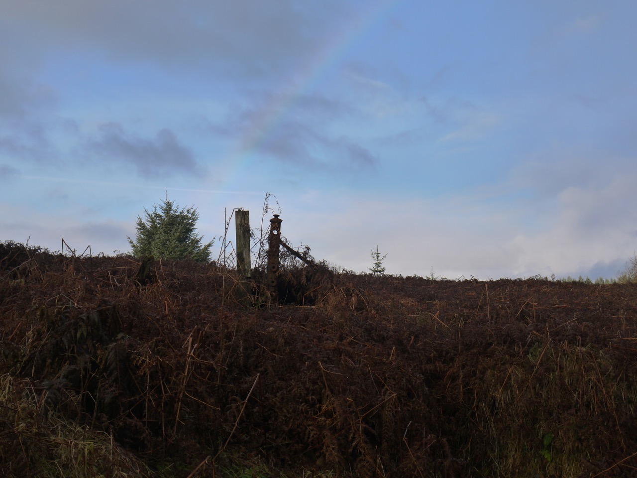
Because the Viaduct is closed off, we walked up by the farmhouse at Cullendoch and then joined the old railway line, which is now a stony track. It seemed quite dull on the day but the photos look a lot brighter. There were a few drops of rain, enough to get jackets on and then off again, but that at least the rain brought some rainbows.
Big Water of Fleet
The search for the memorial was unsuccessful. We found a faint track parallel to the railway line and followed it to where I expected the memorial cairn to be, but despite rooting about it was nowhere to be found.
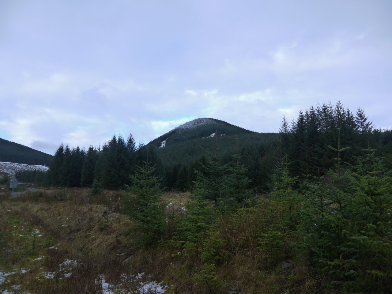
I planned this as a walk up past the Striding Arch on Colt Hill and along to Lamgarroch but conditions meant we turned back at Colt Hill.
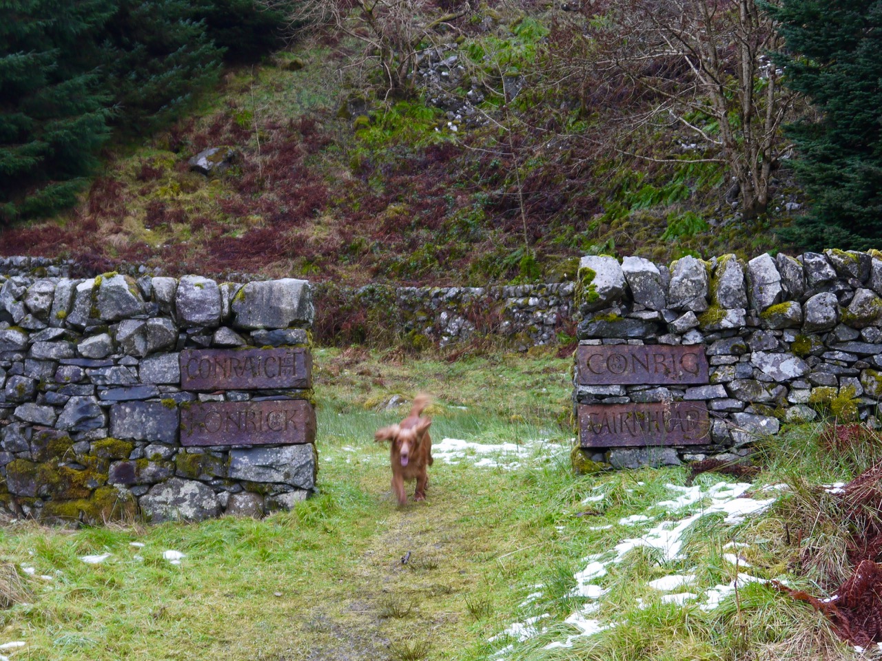
Byre Arch
The walk began at Cairnhead where the road up from Moniaive, which had already become a rutted track, officially becomes a “no unauthorised entry” forestry track, though the gate stood open. We walked up the short track to visit the Byre, with its sandstone arch passing through a space in the wall where one would expect a gate. What does one call such a gap?
The wall has four sandstone blocks each inscribed with a name and date, presumably the names the place has previously been called: Conraicht 1547, Konrick 1600, Conrig 1804, and Cairnhead 1911.
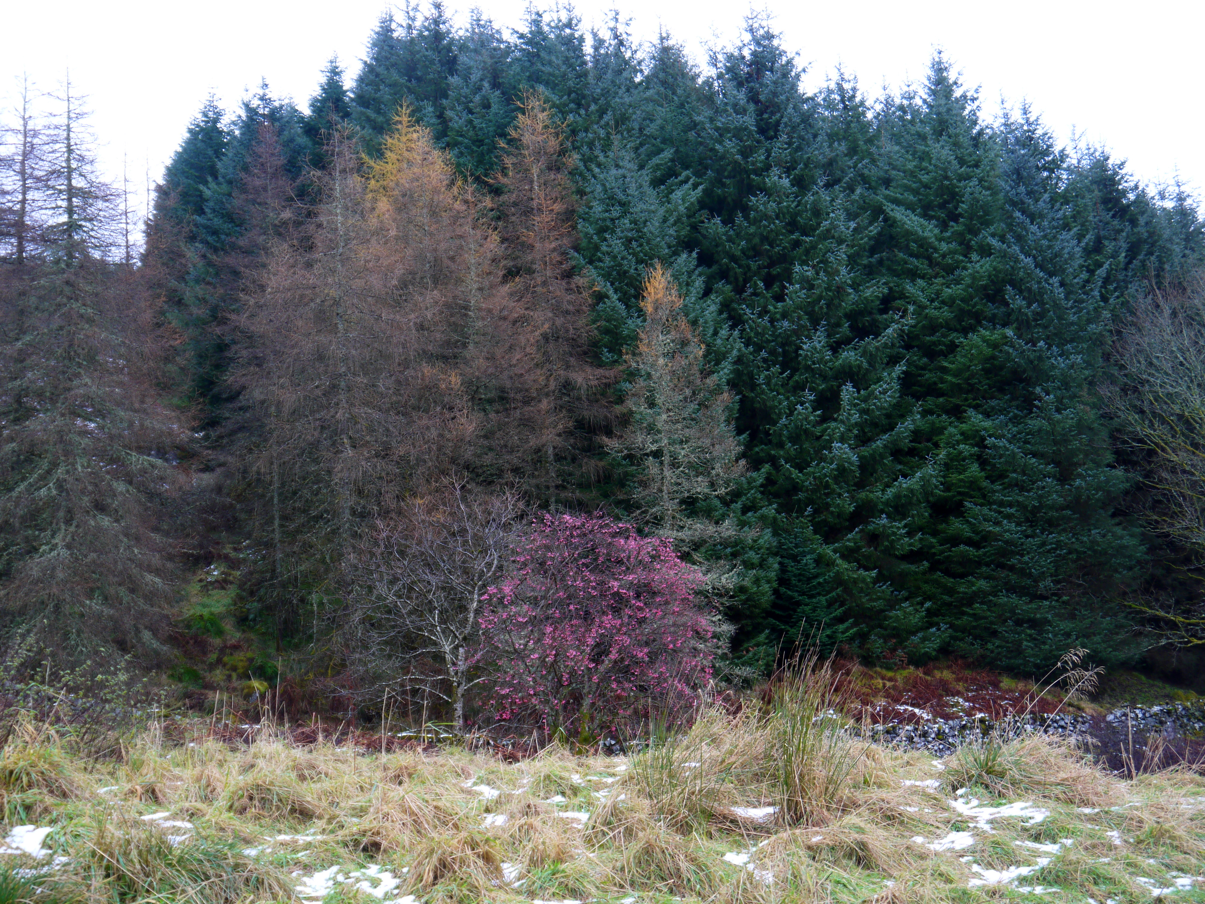
Trees at Cairnhead
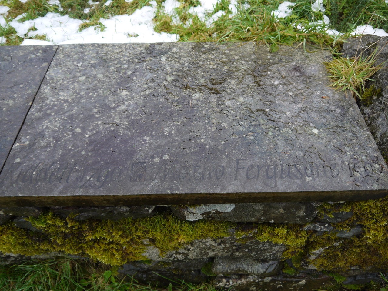
Within the confines of the ungated wall is a raised platform of paving stones, inscribed with eight names: Arthur Bell, shepherd 1891, Samuel McCall 1871, Elizabeth McVittie 1851, John Fergusson 1851, James Barber 1824, Archibald Wallace 1821, William Riddell 1790, Matho Fergusone 1507.
“Matho Fergusone in Conrig of his 2½ mark land thereof” is mentioned as settling of amounts to the Master of Glencairn in a Council document from 6th Dec 1560, so I presume these names are of previous tenants/owners. The 2½ marks he paid was a tiend, a land tax amounting to one tenth of the expected output of the land that was paid to the church. A group of tenants in this area had “contemptuously refused to obey” orders to pay their taxes forcing William Cunynghame, Master of Glencairn, factor for the Kirk of Glencairn to apply to the Scottish Parliament to obtain letters requiring payment of these Church tiends. The Privy Council in Edinburgh made the order for the defaulters to pay in 1560. Matho Ferguson had 5 marks to pay for 2 years of unpaid taxes.
I haven’t been able to find anything about the other people named.
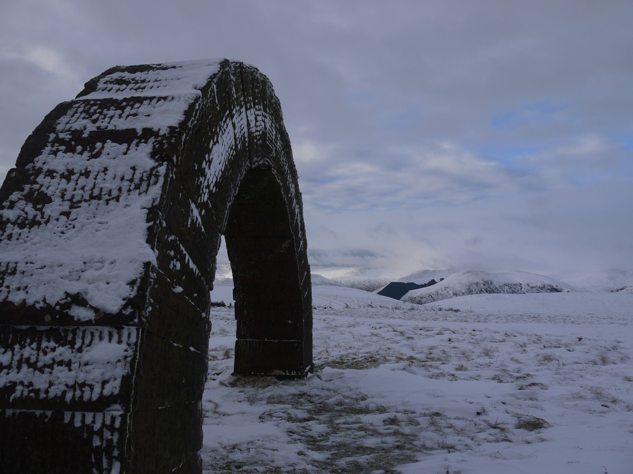
The Byre at Cairnhead has a sandstone arch passing through an upper window. This was the first of Andrew Goldsworthy’s Striding Arches and was built in 2006. Three others stand on the nearby hills, Benbrack, Bail Hill and Colt Hill, and I believe there are others in the USA and NZ. Each arch is a little “under four metres high, with a span of about seven metres, consisting of 31 blocks of hand-dressed red sandstone weighing approximately 27 tons”. So I doubt they will be stolen. The three hilltop arches can be seen from each other, but from the byre arch one can only see the that on Bail Hill.
Despite visiting this spot several times, I hadn’t previously been into the byre itself, only glimpsed the inside through the windows. I’m pretty sure the door has been locked before, but it was open today so we got to see the inner part of the arch. Having looked around at the carvings and sculptures, and confirmed that we could only see the arch on Bail Hill it was time for some walking.
I didn’t expect any sheep to be roaming about given the weather but there was one and I decided to take a short-cut with Eddie to avoid him noticing it. That meant a slightly steep, slippery descent directly from the Byre Arch to the forestry track rather than following the track itself around.
View up the Dalwhat Glen
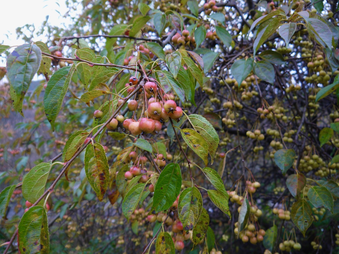
Once back on the muddy track we strode on up the glen. Autumn had turned down the saturation on the greens but some remnants of nature were still shining through. We passed trees laden with crabapples (both common and siberian), the former were intensely bitter and the latter tasteless, though both had the characteristic apple crunch when bitten. Indeed I heard that crunching sound from nearby and turned to see Eddie spitting out the remnants of an apple. Obviously too sharp for his taste.
Crabapples
Surfing the net for the etymology of crabapple I came across the following paragraph several times, and here it is reproduced again: “The crab apple is actually the wild apple, source of all domestic apples grown today. There are two thoughts about the origin of crab in this sense. The first notes that the Scottish form is scrab or scrabbe, seemingly from a Norse source, as there is Swedish skrabba “fruit of the wild apple tree”. This would suggest that crab and crabbe are aphetic forms of a much older word. The other possibility is that it derives from crabbed, which itself means, etymologically, “crooked or wayward gait of a crab” and the several figurative senses that follow from that (disagreeable, contrary, ill-tempered, or crooked). One of those senses might have been applied to the fruit of the crab apple: not right, not pleasant, ill-flavored (because crab apples are very sour and astringent).”
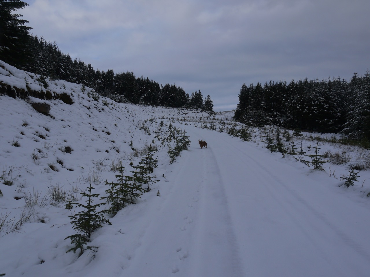
By the time we crossed the Dalwhat Burn the ground beneath our feet had changed from muddy to frozen, and as we walked on we found ourselves walking on frost and eventually snow deep enough to crunch beneath our feet.
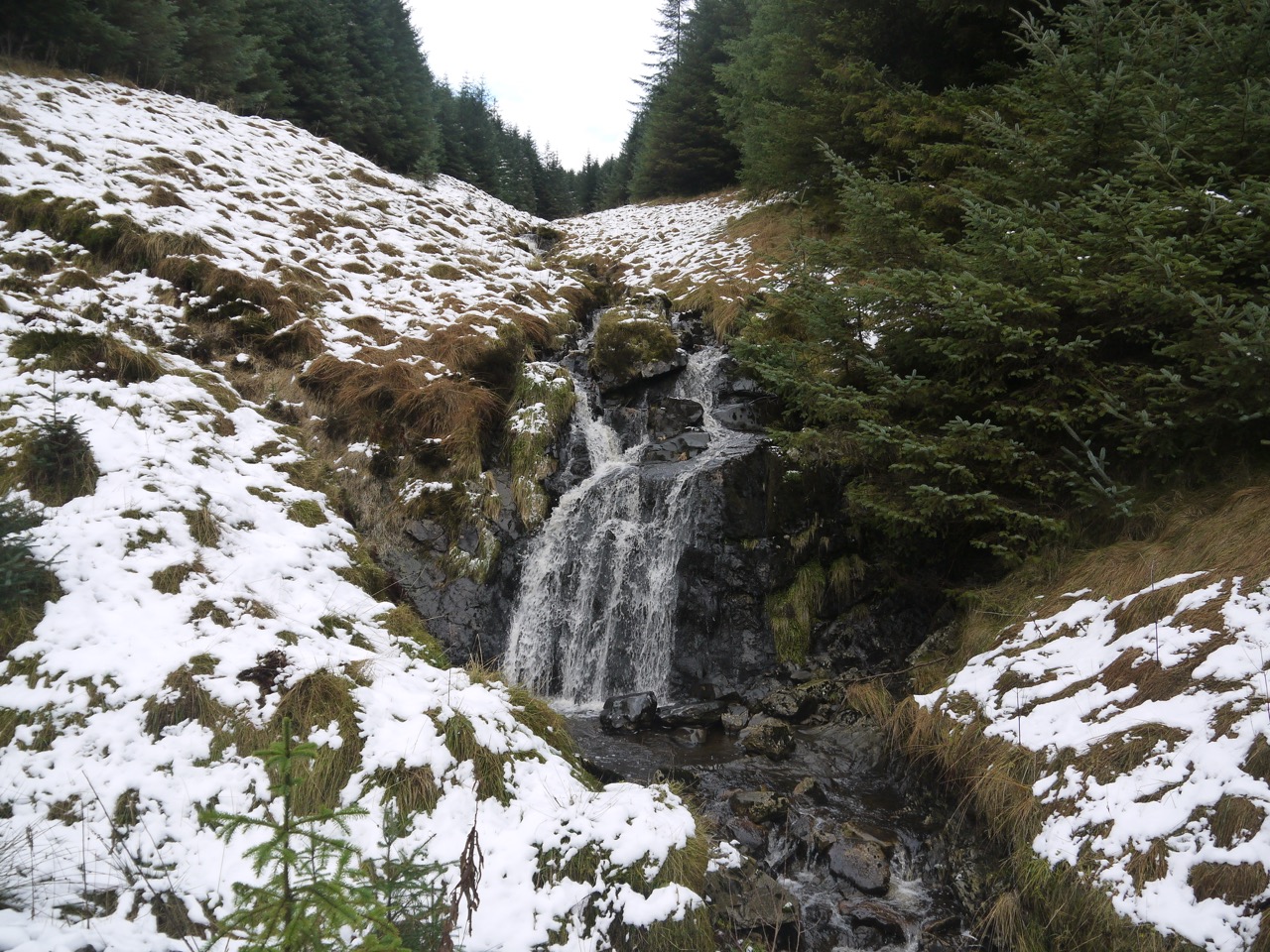
Waterfall on Dalwhat Burn
A bitingly cold wind blew directly in our faces as we walked along the forestry track, only letting up after we turned at the small waterfall and walked into the lee of Black Hill. The snow here was a little deeper but the going much easier now we were sheltered from the wind.
Approaching the col (that’s Eddie)
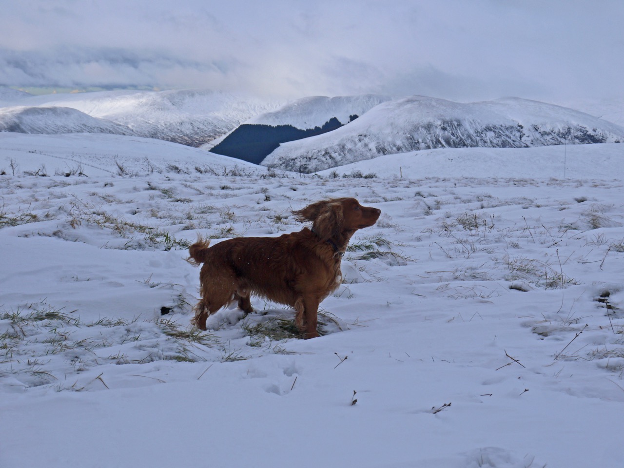
Once we reached the col between Black Hill and Colt Hill we were back in the wind and the temperature, or at least our temperatures dropped quickly. We turned up Colt hill which has been denuded of trees since I was last up here. That allowed us better views but unfortunately it left us directly in the wind throughout the climb.
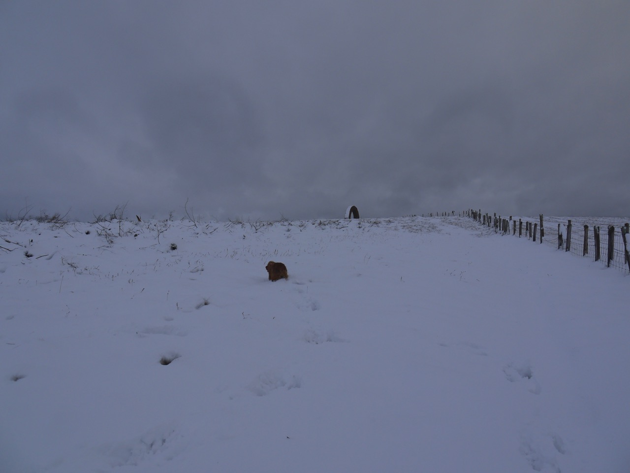
Colt Hill, Eddie in the foreground, the Arch in the distance
The snow here had either drifted or fallen more heavily. Either way we had to climb the last 100m through knee deep snow. It was a little deeper in places where small hollows were hidden by the snow and I saw Eddie disappear into a couple of these as he bounded up the hill. I had my share and judging be the occasional shriek from behind me, Audrey had not avoided all of them.
Colt Hill Arch
At the summit the snow was shallow except where it had drifted. The wind however was both stronger and colder, a classic north wind. The views were surprising good despite the relatively low cloud. We could see Dodd Hill, Moorbrock Hill and Benninner cloaked in snow but Cairnsmore of Carsphairn was lost in cloud.
There was too much snow for us to continue on to Lamgarroch, and it was too cold to hang about at the summit so we headed back down. It was much colder on the descent, presumably since we needed to put in less effort. Poor Eddie was collecting balls of snow in his fur and wasn’t very happy about it, so we pressed on quickly to get out of the deeper snow and away from the north wind.
The walk back down was a lot easier and we warmed up once out of the wind and Eddie was soon back to his usual self exploring the trees beside the track. I had worried that we were in for a chilling once we were back out of the shelter of Black Hill, but it seemed to have relented a little for us.
Given the cold, we had our sandwiches once we got back to the car.
It is a few years since I climbed Cairnsmore from the SW, and I am pretty sure there was a car park back then. I recall a couple of old codgers, probably not much older than I am now, had parked their van next to my car and mocked me lightheartedly for walking so slowly. But there is now no place that two cars could park side by side. The parking is beside a small track, helpfully marked with a big “P”.
We set off in sunshine beneath a blue sky, though when driving along the A75 we had seen that the hill was crowned in cloud. There was a mild chill in the air but we were confident that the sun would soon burn off the cloud. Misplaced confidence as it turned out.
The first kilometre of our walk was along an estate road beside the Cairnsmore Burn. The rhododendrons still had a few flowers but the trees were definitely in autumn livery. The road turned right at an entrance to Cairnsmore House and a little after that a sign invited us to leave the road for a woodland path with more rhododendrons, a few pheasants and some big blue feeders. Eddie was on his lead here but found the undergrowth very interesting, and even more so the fluttering we could hear in the wood.
We were then back on a farm/estate track again, passing Cairnsmore Farm. I suspect my car park from years back had been around here. The outbuildings here looked disused but not dilapidated.
The track ended at a gate with a warning “Caution: cows with calves can be aggressive”. I wouldn’t argue with that. There were some calves but luckily they were at the far side of the field so we were able to walk across and escape back into woodland, passing first a metal gate and then a wooden one. The lower woodland here looks to have been felled and replanted, but we were soon back in mature forestry where Eddie could burn off energy running through the trees.
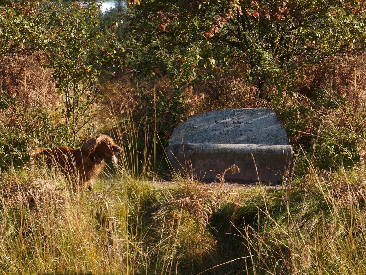
A grassy path climbed gently up a forest break, not especially steeply but enough to chase away the chill and warm me enough to put pack away my fleece. The path crossed a forestry track at about 200m and we found a stone seat dedicated to Rosemary Pilkington. A good place to get one’s breath back and have a drink.
Looking back down the path we could see the plain stretching west and a conical hill standing proud. My book “Twenty walks in Dumfries and Galloway” says this is Craigeach Fell but I disagree. In my opinion it is Knock Fell, one of those twice named hills, cnoc (hill, gaelic), and fjall (hill, norse).
The stone seat bears the inscription: In Memory of Rosemary Pilkington 1911 – 1995, Who did much to establish Glenure Forest. I’m afraid my google-fu has failed me in finding out any more about Rosemary Pilkington.
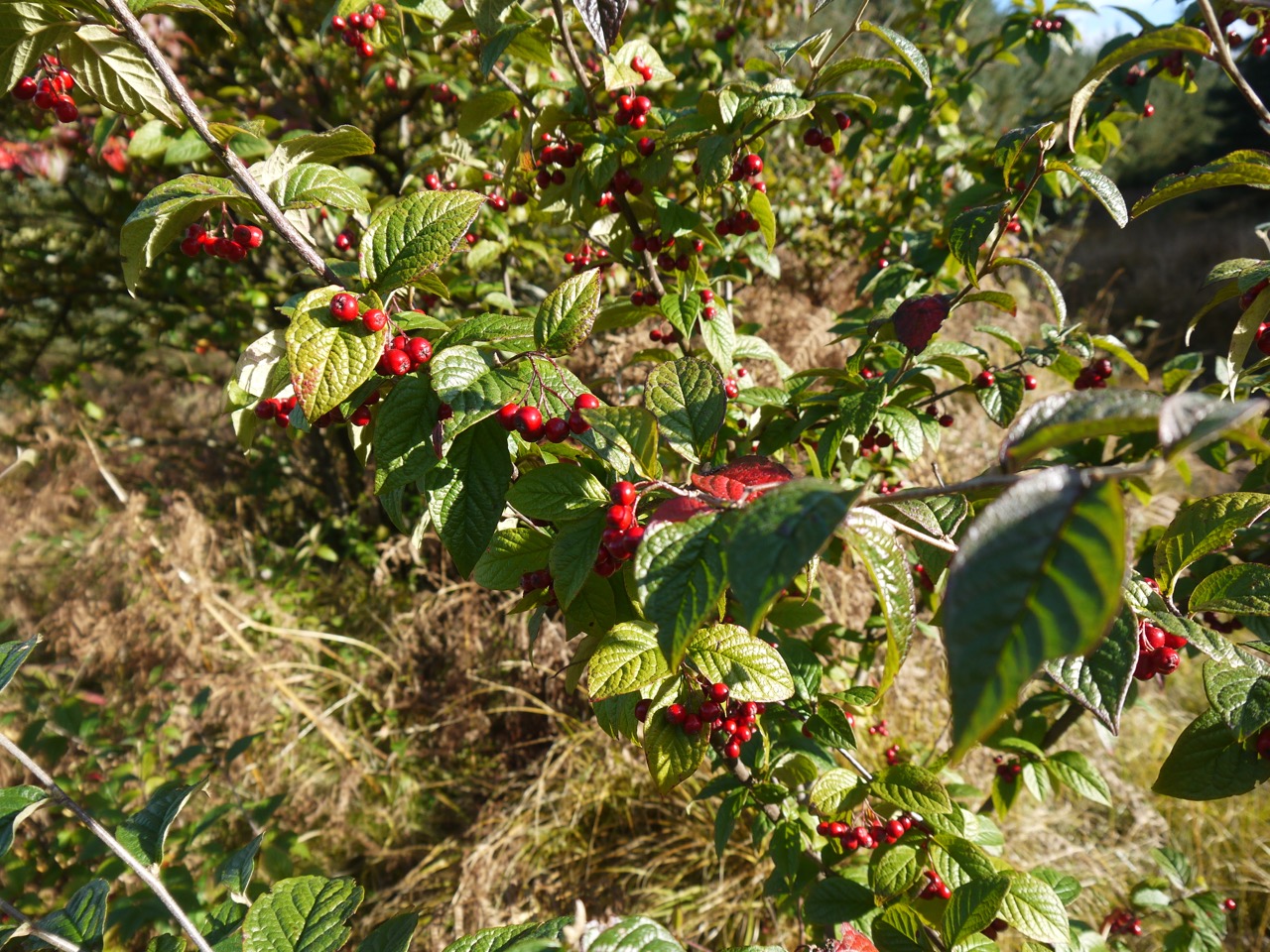
A small tree with red berries stands behind the seat, but neither of us could identify it at the time. Audrey has since found it to be Cornubia Cotoneaster. The berries didn’t taste particularly pleasant, having quite a dry texture.
The path steepened a little after this but after bearing left the climb became more gentle. We left the trees to cross the moorland of Crammery Hill with the path ahead of us zig-zagging up the hill. A fence, with a metal gate, crosses the path at about 400m and was a good place to pause for a slug of coffee before the steeper section ahead of us.
Eddie is not one for stopping and made his impatience known with whining and barking. The sun had by now hidden behind clouds so at least he didn’t have shadows to worry.
Cairnsmore of Fleet, Crammery Hill behind Eddie
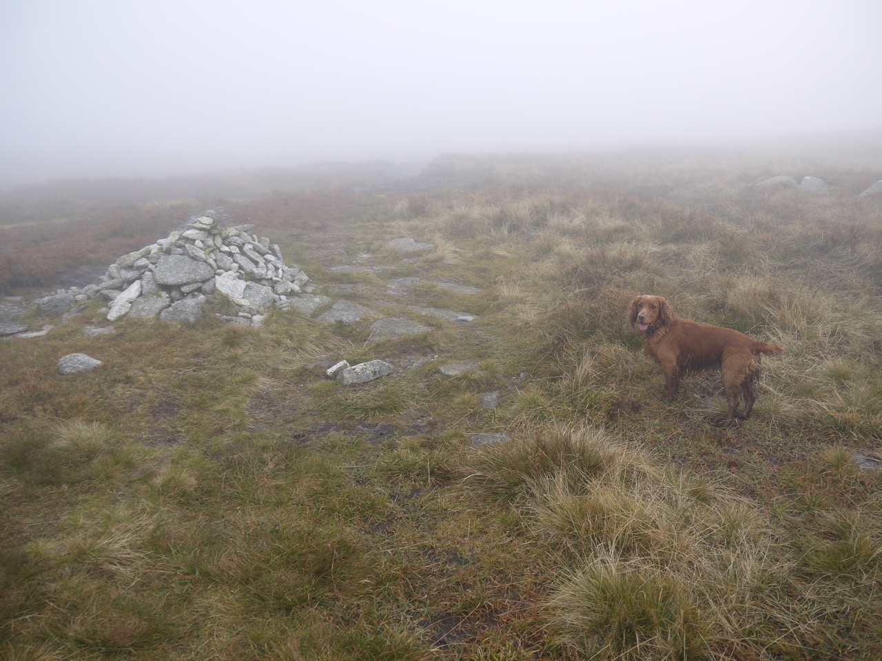
On we trudged, climbing gently until the remains of a stone dyke and a little more steeply thereafter. As we walked, and gained height, wisps of mist began to blow by us and eventually formed more complete cloud. Photographs tend to make the view look clearer than reality and visibility had dropped significantly by the time we reached the summit plateau.
As we climbed, the cold east wind strengthened and the temperature dropped. I put my fleece back on and seriously considered adding hat and gloves. The path became less well defined but we were kept right by following a series of cairns. We heard a distant whooping at one point, which could have been human or avian, and soon enough three people walked out of the mist re-calibrating my distance assessments. I had seen an irregularity in the horizon where the path looked to pass through a deep dyke, but when the walkers appeared, looking like giants, it was obvious that the horizon was in fact very much closer. The deeper ground either side of the path was in fact just grass no more than a few inches tall.
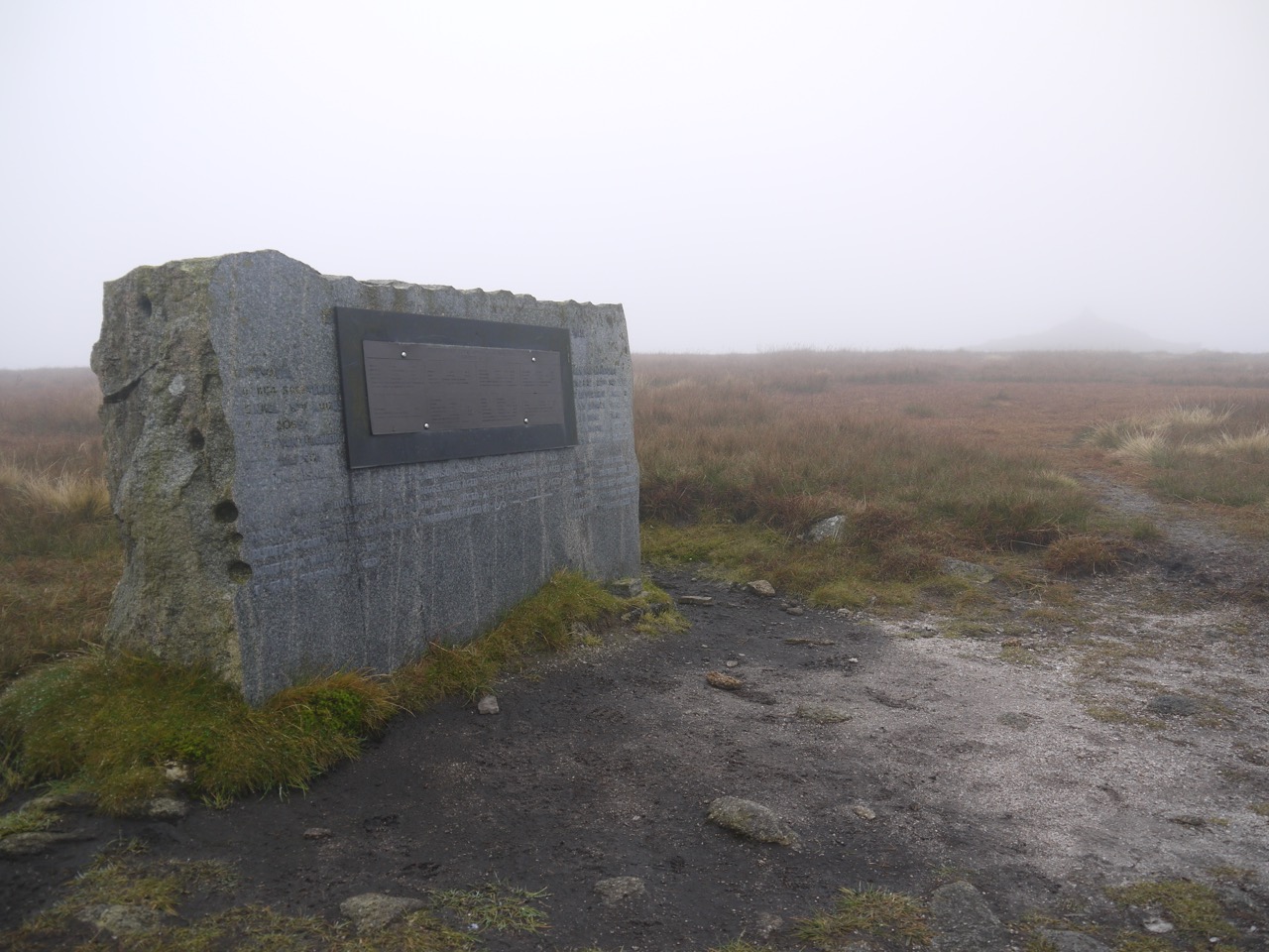
As we walked on we could make out an indistinct shadow which was the large cairn about 150m west of the true summit. I wasn’t sure at the time if it was the actual summit cairn and was considering leaving our cairn-led route when the Aircraft Monument came into view directly ahead.
Cairnsmore of Fleet Aircraft Monument, summit cairn in the distance
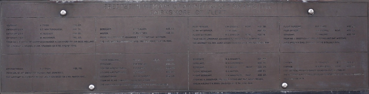
The monument gives details of the airmen who have been killed in eight crashes between 1940 and 1979 and is inscribed:
Memorial to Airmen killed on Cairnsmore
Once at the monument we could just make out the summit cairn which, because of the mist, looked much larger than it actually was. My plan had been to admire the views from the summit, but that wasn’t going to happen on a day like this. So we decided to hunker down for lunch in in the climber’s shelter near the trig pillar.
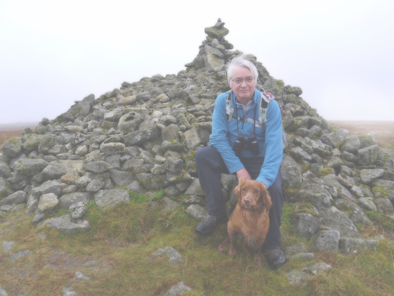
Cairnsmore of Fleet summit cairn
This didn’t work out as I might have hoped. I climbed into the shelter, chose a nice stone to sit on and hunkered down. As soon as I dropped below the level of the wall the wind lost some of its bite, but unfortunately it was still unpleasantly cold since it was blowing directly through the gap in the wall.
So we stood up in the wind and headed back the way we had come. We had expected the descent to be a bit tricky, with wet stones on the steep path, but it was easier than expected. Eddie did fall over once, but I stayed upright on the descent (having fallen over after stepping in a hidden hole on the ascent).
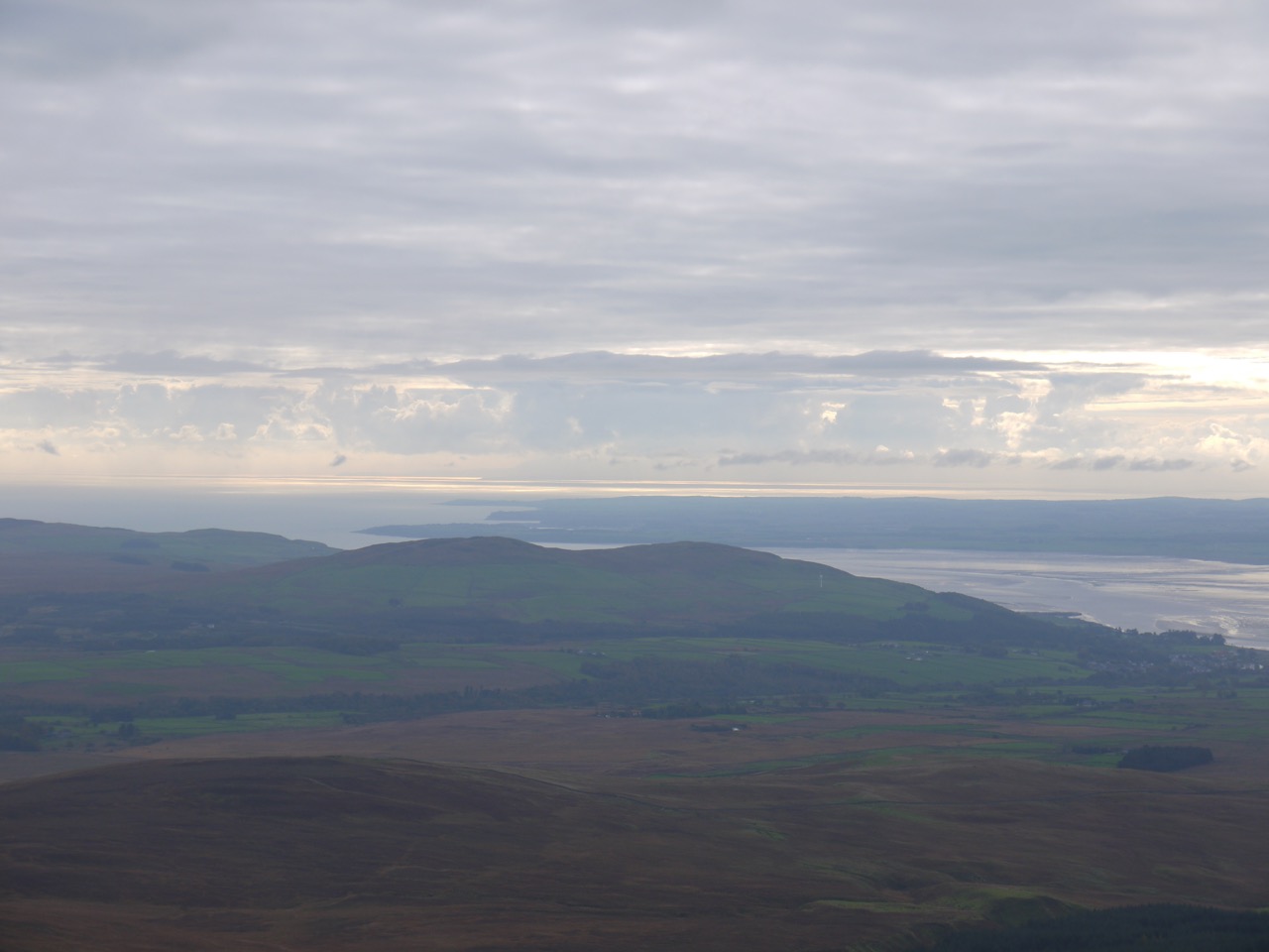
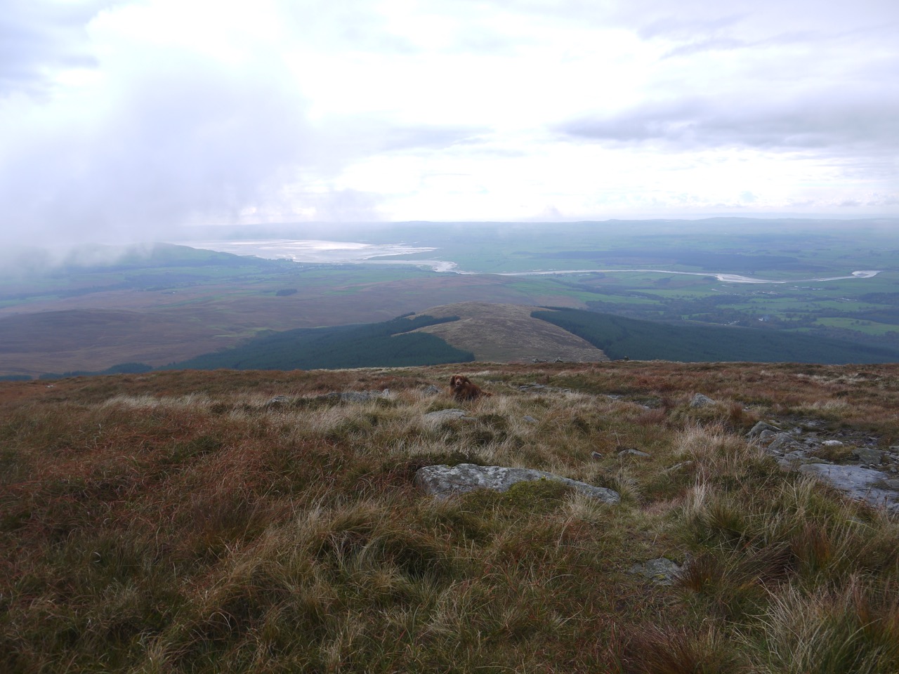
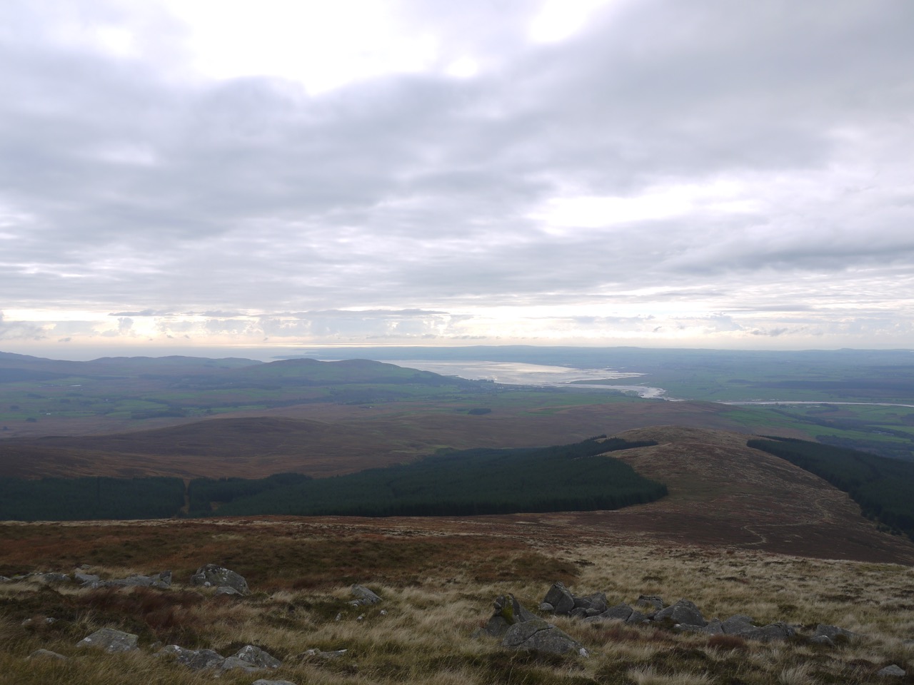
Having been robbed of our views at the top we had to make the most of the scenery on the descent. We could see Largs Hill, Lamachan Hill, Curleywee, the Isle of Man, Wigton Bay, and the River Cree. There were quite a few folk on their ascent as we headed down, including a couple pushing mountain bikes up the hill.
We kept an eye out for a place to have our sandwiches but didn’t find anywhere sheltered enough with adequate seating and decided we would use the stone seat once we reached that.
Unfortunately that seat was taken, and despite scowling at the couple who were occupying it they stayed put. The sandwiches had to wait until we were back at the car.
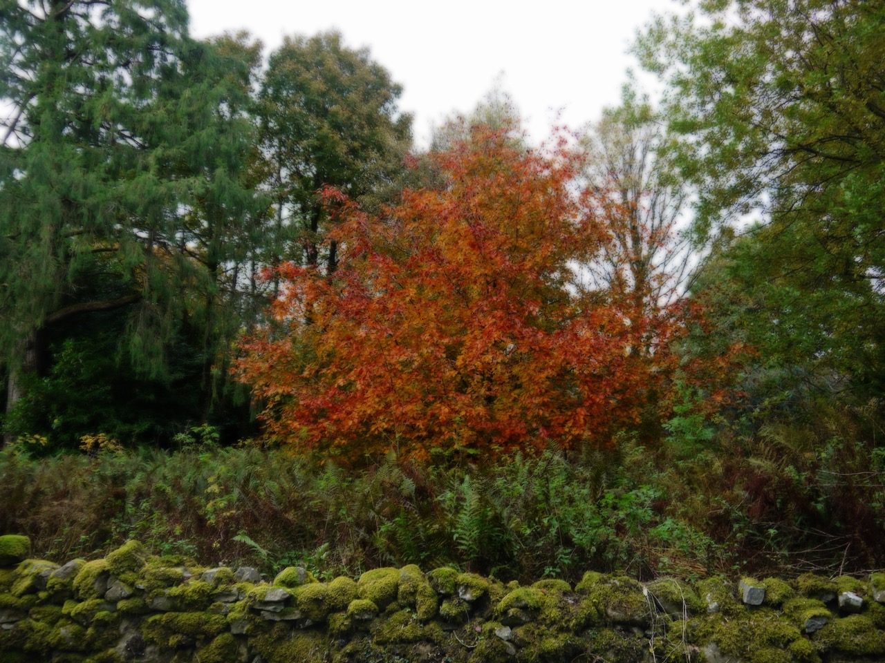
Autumn beech at Cairnsmore estate
Though autumn was well underway there were a few hardy flowers hanging on: buttercups, tormentil, scabious, creeping thistle, prickly sow thistle, and red campion.
The fifth and final section of our 2016 stroll along the Annandale Way proved warmer and drier than expected though earlier rains had left some of the paths a little muddy. Despite being the beginning of October, it was still short sleeves weather and the rain, though we could see it over the Cumbrian Hills, didn’t reach us.
We began at Hoddam Castle and a short walk allowed us to rejoin the Annandale Way at the Mainholm footbridge crossing the River Annan by the totem pole. This whole section is really a riverside walk and we rarely strayed far from the river.
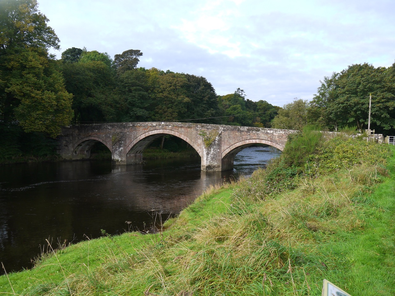
Bridge at Hoddam
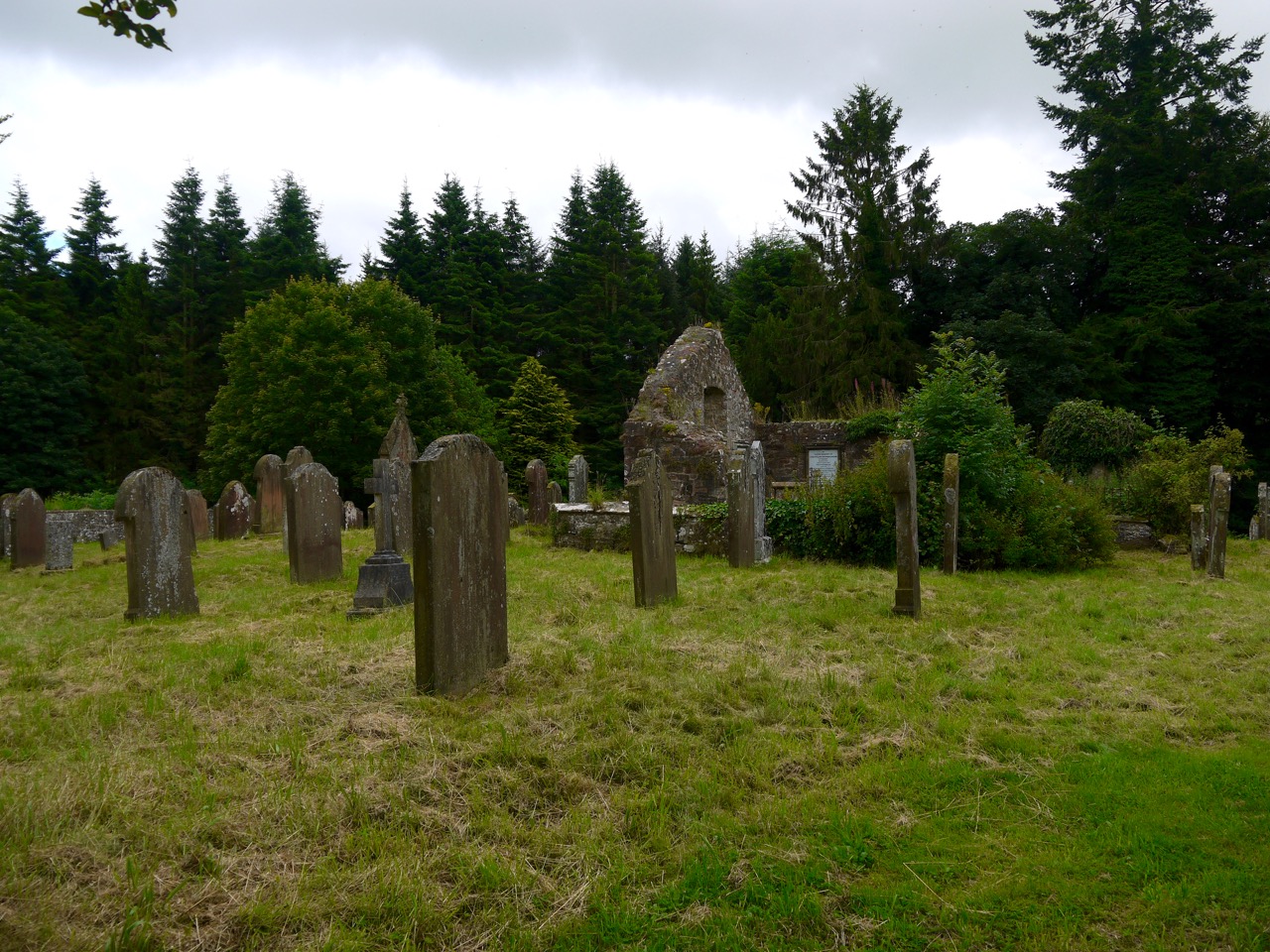
Much of the riverside is mature broadleaved woodland just beginning to show its Autumn colours. Where the trees did not hold sway there were sheep and cows but luckily where we saw bulls they were behind fences. An old cemetery stands beside the river not far from the road bridge at Hoddam. Most of the gravestones date from the eighteenth century, but an information board told us the original church here had been built in the 7th century by St Kentigern, a Bishop in the ancient Kingdom of Rheged, no less. Yew trees stand by the graveyard, an association that probably predates Kentigern. Nothing remains of his church.
Kentigern’s cemetery
Our path proved to be surprisingly muddy and at times we had no option but to trudge on through the mud. Eddie would pounce into it, run out the other side, pause, then run back to jump in a again. But his forays into the river kept him reasonably clean. We just had to remember to turn away when he shook himself dry.
The Summer’s flowers had mostly had their day with only a few stragglers holding on. Only the Indian Balsam was in profusion and had me wondering what would have grown along these riverbanks before 1839 when it was introduced. Answers on a postcard please.
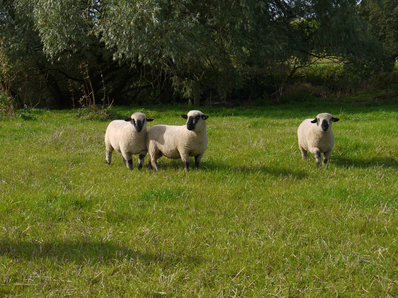
Sheep near Mein Water
The day was not warm, at least at first, and dew remained on the grass. One field just before Brydekirk glinted in the sunlight looking as though it had a crop of daisies.
Hips, haws, berries, and apples on the trees reminded us that Autumn was here. I tasted some blackberries from a wild bush and was admonished by Audrey for calling them by their southern name rather than “bramble”, a proper northern monica in her opinion. That got me investigating. Woodlands.co.uk says “The fruit of the bramble is the blackberry, but in a strict botanical sense, the blackberry is not a berry. Each tiny juicy ‘blob’ on the blackberry represents a tiny fruit or drupelet, and there are many of them so it is an aggregate fruit . A drupe is a fruit that has a fleshy, outer part that surrounds a stone or seed. So, a drupelet is a tiny drupe.” A letter to the Telegraph suggested that the border between brambles and blackberries is just to the south of Northallerton. So I grew up in the land of Blackberries, yet still in t’north.
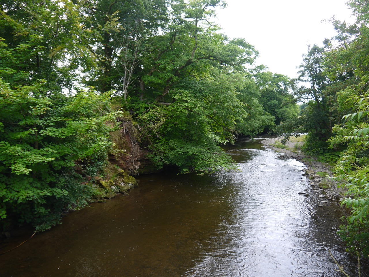
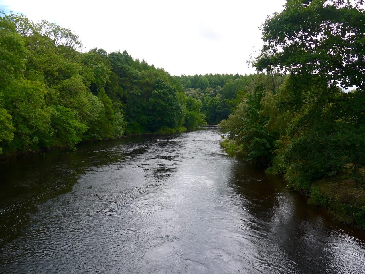
The River Annan looked beautiful in the sunlight, but the temperature dropped a little once we crossed back to the western bank.
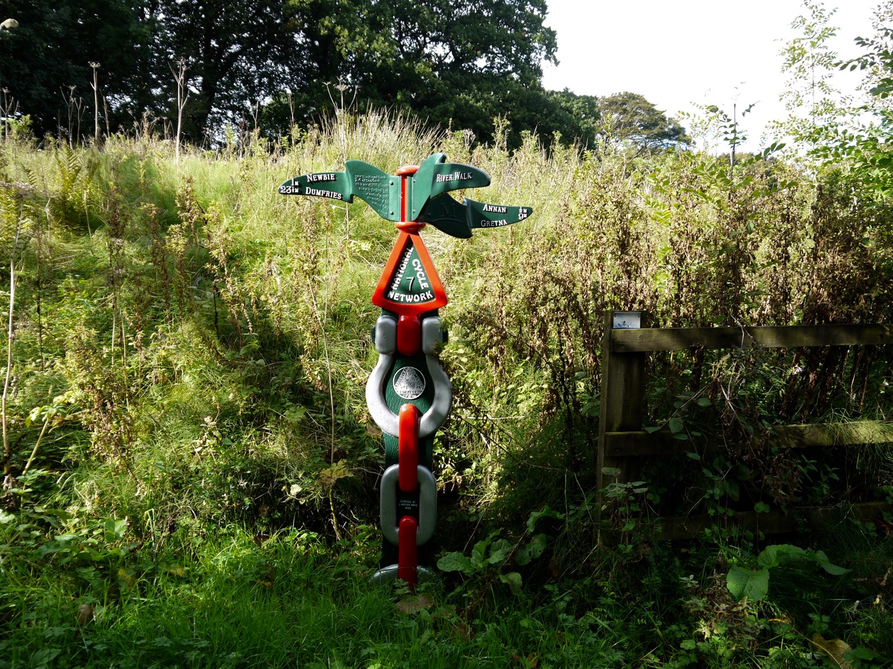
Cycleway sign
The final part of the walk took us to the Solway. There were more flowers along the walk here, as though summer had held on just a little longer. We noticed an unusual play with yellow flowers that Audrey subsequently identified as a Sea Radish. I thought the leaves looked similar to sage and took a leaf to small it. I can warn others that the sensation was like a grabbing nettle.
Our last few metres were beside a factory with impressive security, Johnson Matthey, which is a pharmaceuticals firm. The place looked like somewhere that Mission Impossible would be tasked with infiltrating.
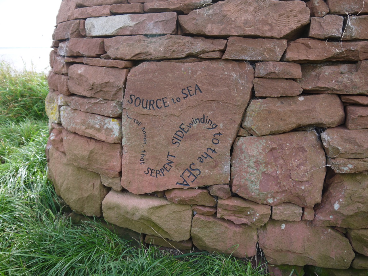
Cairn at the end
So 58 miles of Annandale Way had taken us from the uplands of the Moffat Hills to the Solway Coast, in rain and sunshine, through fields and moorlands, over hills, through woodland, along riverbanks,
A walk through the dappled light of broadleaved woodland and the untainted sunshine falling on multicoloured meadows. Along country roads with heavy hedgerows. Up steep thistle-clad slopes. Beside lochs, rivers, ponds, and burns. Crossing bridges, fords and boggy moorland. By wheat, oats, barley and crops we could not name. Passing carved beasts and sculpted kings, fungi large enough to suggest enchantment, ancient churches long ruined, a hilltop monument weathering on the site of an iron-age fort, offering views to the hills of both Moffat and the Lake District; colourful murals, covered springs, abandoned houses, wooded avenues and lone trees, oaks with marble galls, curious orange balls embedded in rocks, spent cartridges, and an old log where a princess once rested. Our noses suffused with scent of meadowsweet, honeysuckle and newly mown grass, and a gurgling river named for sweet grass. Watched by beasts of the old world and the new but ignored by butterflies and birds. Warned off from diseased woodland and invited for high tea in Hightae. And at the end, the welcome cold of ice lollies.
The Water of Milk
This was a pleasant walk, though the second half was somewhat spoiled by a mis-remembrance on my part. I like to have an idea of how a walk is progressing by having virtual waypoints in my mind. For this walk Hightae was at about 3 miles, the Graham monument at about 6 miles, Williamwath Bridge at about 9 miles and the bridge over the Water of Milk a mile or so from the end. As we walked, however, my memory became corrupted, and not in a pleasant way. I came to “remember” that the Water of Milk was at about 9 miles, and so marked a place four or five miles from Hoddam. When we crossed Williamwath Bridge, about an hour and a half after leaving the monument, I presumed us to be crossing the Water of Milk, but the evidence against this gradually stacked up and soon I realised it was the River Annan. Believing the Water of Milk to be the 4-miles-to-go marker, and to lie ahead of us, I wondered how I was going to break the bad news to Audrey that we still had a long way to go. I looked at my watch when we had been walking for 5 hours, still climbing, and with no sign of the Water of Milk and sighed with resignation. When we did reach the Water of Milk, I looked at the map, and with not a little relief, discovered my mistake. I should have looked sooner.
This leg of the AW began where the last left off, in Lochmaben, but Audrey parked a little short of our last parking spot so we headed up the main street to make sure our Annandale Way journey was complete. Once there I waved goodbye to Robert Bruce, turned about and began AW part 4.
The Way crosses Mounsey’s Wynd, named for a local Dr James Mounsey whose house at Rammescales we were to pass later in the day, then turns down the road between the Church and War memorial. A stone about a metre tall stands by the pavement here. Had it had holes in it I would have thought it a gatepost but it does not, and actually it seems too slender for a gate post. It looks more like a gravestone but its surface is so weathered any inscriptions would have been destroyed, and it isn’t mentioned on Canmore.
Castle Loch
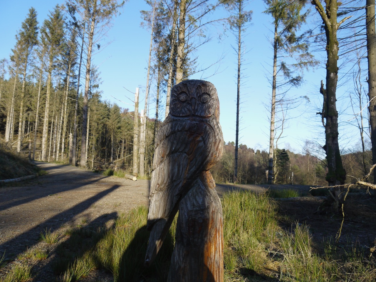
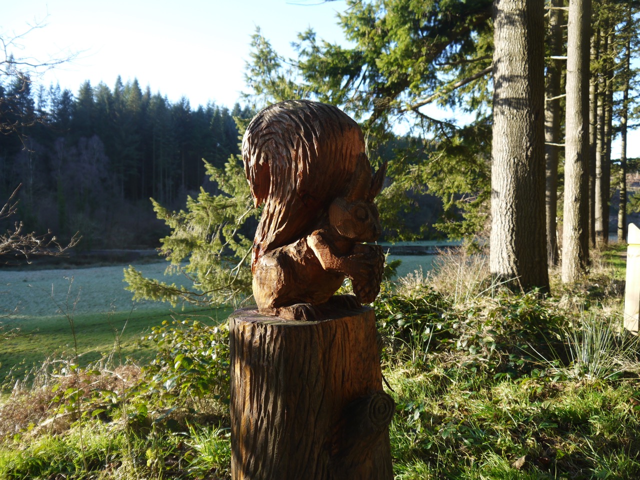
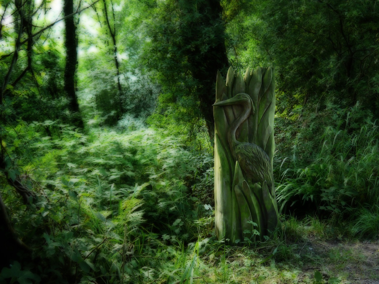
The road passes Lochmaben’s Tennis courts and the bowling green, with views over Castle Loch, before entering the woodlands of Castle Loch Nature reserve. There are mostly young trees here and I suspect planted rather than natural. We passed several wooden carvings along the way: a heron, otter, dragonfly, woodpecker, squirrel, fish (Vendace) and canoe, but the tawny owl has been removed. An old tree trunk just off the footpath seems to have been used either for carving practice or is perhaps a failed sculpture project. It had several wings carved on to its surface and spider webs inits crevices. There are a number of short paths to the loch itself and one of these has an board with information about crannogs and warns against coming into contact with scum on the water.
After briefly returning to the road we turned left at some cottages to walk along a farm track. I had intended walking off the AW to visit Lochmaben castle, but the sign said it was half a mile away and we didn’t fancy adding an extra mile to an already longish walk, so it was set aside for another day. We turned left instead and walked through first a farmyard, then fields of wheat, barley and a small copse to reach a minor road at Parkend Farm. A metal kissing gate allowed us back into the fields which we crossed to reach the levee beside the Mill Burn. There is a narrow mown path atop the levee. Audrey thought I was using an American term in calling this a levee, saying she would have called it a bank/dike. But I’m sure we called these levees in Geography when I was at school (in England). The OS symbol representing it is described as an earthwork, but that has a more archeological feel to it in my mind. Embankment sounds a little too grand, and dyke a little too Dutch. Well it was “levee” that came to my mind when I looked across to it, so I’ll stick with that.
Looking across to the levee
The levee had several dips which would surely undermine its purpose and erosion beyond these sections suggests that the nearby fields do flood. When last I walked along here it had been overgrown with nettles but the path is now mown grass, with nettles at the side. Knapweed, creeping thistle, marsh woundwort and hop trefoil crowded the path and the pinks of himalayan balsam and rosebay willowherb filled the far bank. A narrow AW bench here was well placed for a brief rest and a slug of water. We could see the Monument up on Almagill Hill and Audrey found an SUW badge on the bench. If this had been a fairy tail, that badge would be enchanted. We’ll see how it effects her.
Almagill Hill, from the bench
The signpost for “Heck, half mile”, marked the end of the levee near Calf Lake Bridge. We were then on the minor road for Hightae, the hedgerows hanging with tufted vetch past its best with both meadowsweet and honeysuckle sweetening the air. The brambles were not yet in fruit but the wild raspberries were ripening. As we strolled along, a car pulled up and a recognisable voice said “Hello”. We were invited for a cup of tea since we would be walking past her house but time constraints prevented us up taking up the offer.
The Levee by Calf Lake
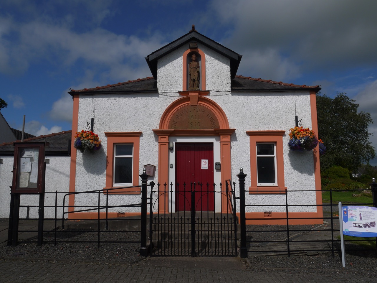
There is an impressive children’s playground on the edge of Hightae and some colourful gardens in the village itself. An information board beside the “Royal Four Towns Hall” answered the obvious question: the four towns being Hightae, Greenhill, Heck and Smallholm, founded by King Robert Bruce, whose statue stands in the hall’s frontage.
Hedgerows with goldenrod, bindweed, honeysuckle and more unripe raspberries accompanied us back to the B7020. In the field beside the road I watched a large grey and white bird flying low between the cows before dipping down to some water. Too big for a gull, a heron perhaps from its wing shape as it landed.
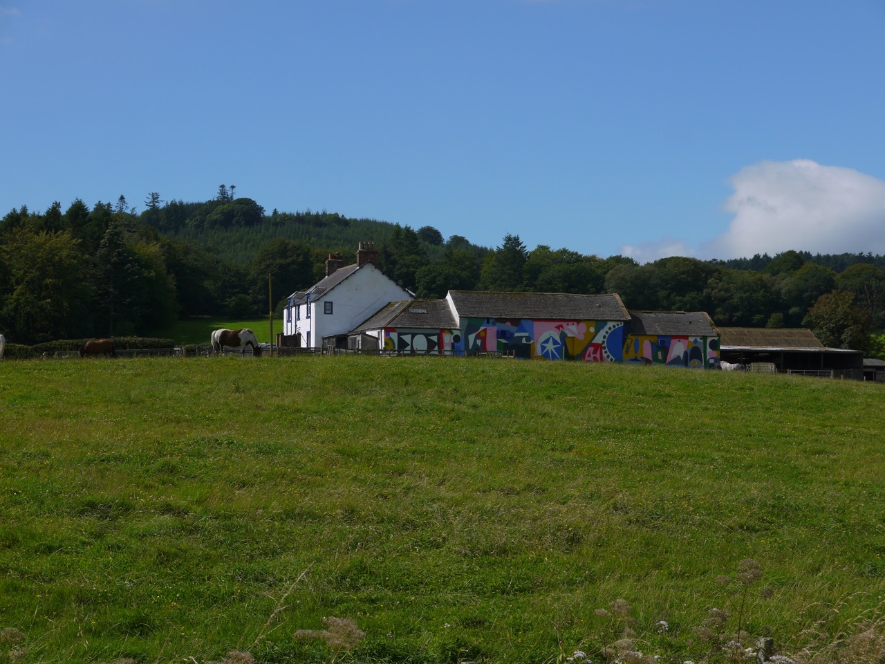
The Way passes the Mossburn Community Farm, its walls covered in abstract murals and horses grazing in its adjacent fields. The road then begins to climb gentlely. We noticed a rather long sheep in the field as we walked and both Audrey and I must have registered it as a little unusual since we were both looking at when it raised its long neck to reveal itself as a llama. That left us wondering what llamas were used for. Wool presumably, since I’ve not seen llama meat or cheese on sale.
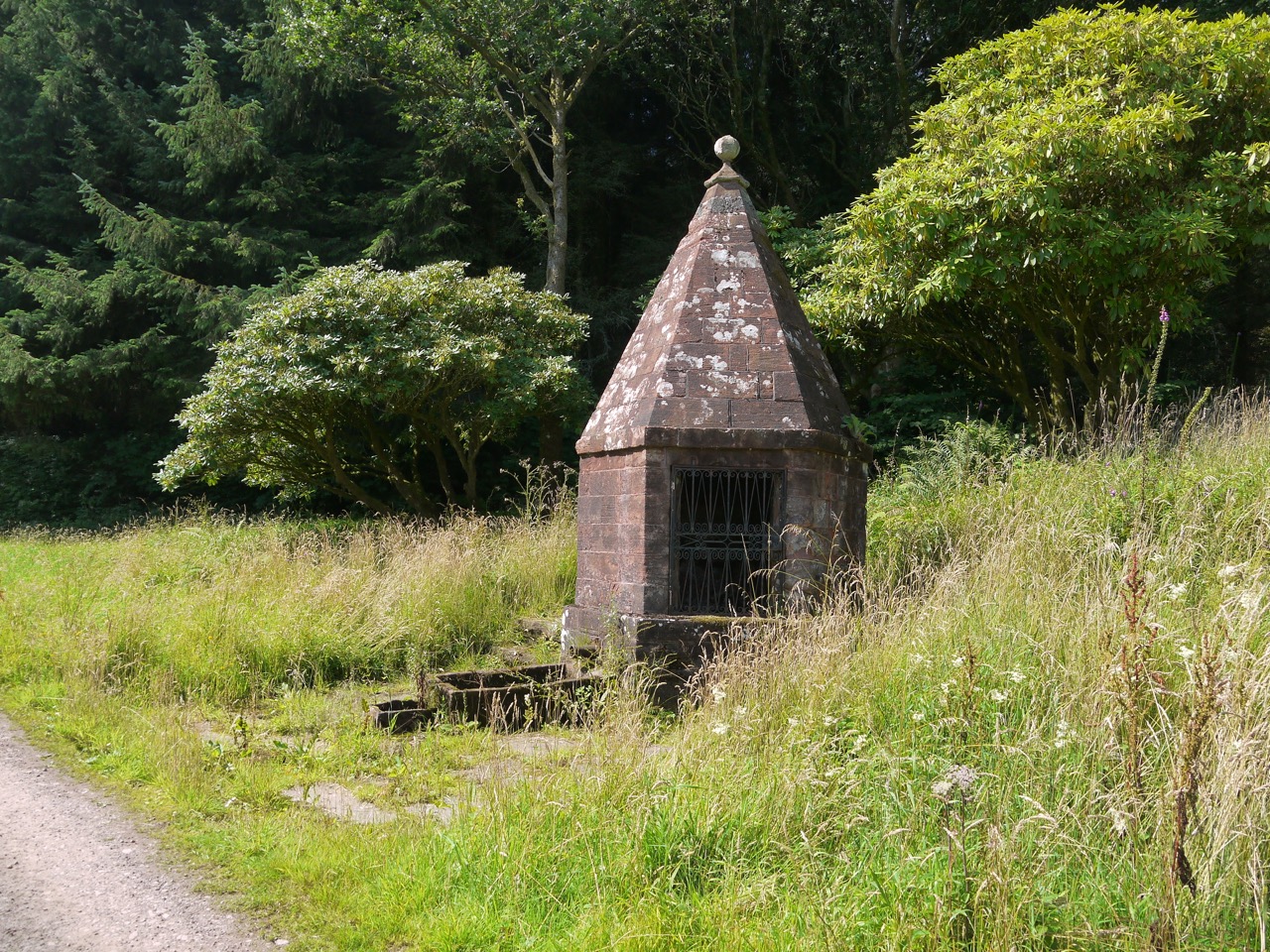
Once we entered Rammerscales wood, still on the road, the gradient steepened at little more, but the shade of the trees gave us respite from the warm sun and allowed enchanter’s nightshade to thrive in the hedgerows. An unusual construction just beyond Rammerscales house looks to be built over a spring. I had a close look around this but we gave a nearby house-in-the-woods a wider berth.
The road beyond Rammerscales House becomes a rough unmetalled track and after a short time we turned left off this track at an AW sign. We were then on a woodland footpath pocked with pools of water and muddy in places. The burn running in Routing Clench flows across the path but stepping stones kept us dry. A little further on we found ourselves facing a large pool of muddy water completely obstructing the path. This caused me to pause, and while looking around I noticed, almost hidden in the trees, an AW signpost pointing up a narrow path that had escaped my attention. So we were spared crossing the pool.
Hidden signpost
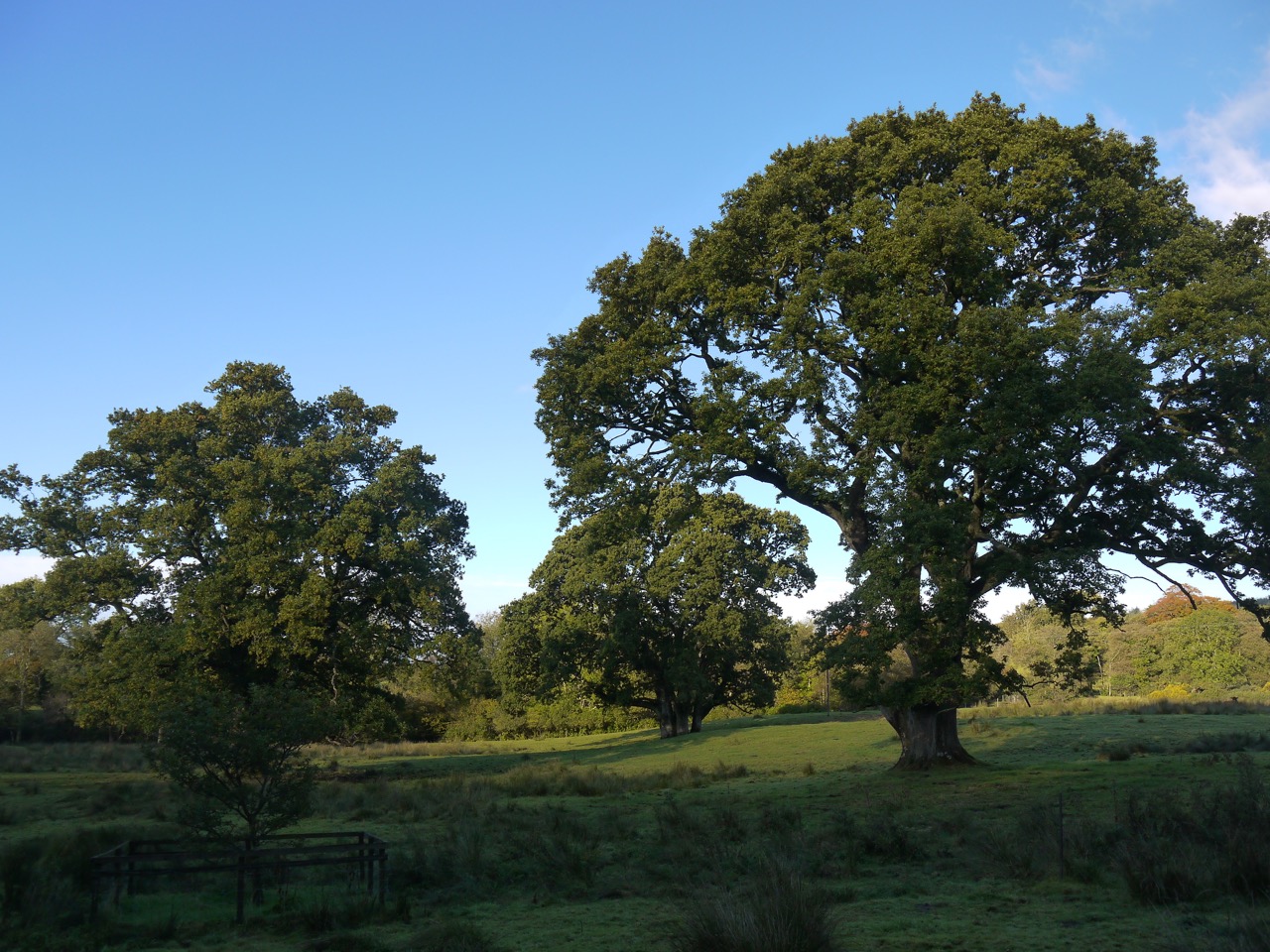
This narrow path was uneven, muddy and had been churned by the passage of walkers and riders. The path such as it was ended with the trees and we found ourselves facing the boggy ground of Holmains Moor. The actual AW route here differs slightly from that on the OS map. The map’s route follows the edge of the woods around its SW corner whereas the signage indicates leaving the trees at that corner. There was no obvious track to follow onto the moor so we took our direction from a wee AW arrow on the gatepost. This proved true since we soon found a way marker and were guided along the line of a fallen wall with one surviving lunky hole and a more modern fence now usurping the wall’s role. An imposing Oak stands above the abandoned Holman House, the tree crying out for a makeshift swing. It was easy to imagine ghostly children playing near that tree.
Holmain’s Oak
The OS shows the site of Holmains tower close to some extant farm buildings and we must have walked by it without noticing. I have photographs looking across the area with no sign of ruins but you can make it out on satellite photos. After Holmains the ground was less churned and walking became easier until we reached the steeper ground of Moss Castle, and beyond the gate we had no discernible path or track again.
We decided to just head directly up, albeit with a little zig-zagging. The climb was not easy, the ground was uneven where natural subsidence had left soft gullies and had been further churned by animals. The thigh-high creeping thistle was particularly dense on the slope. Once atop Moss Castle we were away from the thistles, in a beautiful hill meadow of knee high grass, the blue harebells nodding in the wind alongside the steadier white and pink of yarrow and eyebright, and yellow hawkweed and tormentil. In a film, walkers would have frolicked through this as if the vegetation were a mown lawn, but in real life, walking through it, though a joy to the visual and olfactory cortices, was tiring for legs already flagging after the preceding climb.
Almagill Hill with the Lake District as backdrop
I worried that the dip between Moss Castle and Almagill hill would prove my decision to head straight up the hill, rather than around it, to be ill judged but it wasn’t. Moss Castle was once topped by a fort but gave no clues of this at least to my uneducated archeological eye. Satellite views show where its walls once stood.
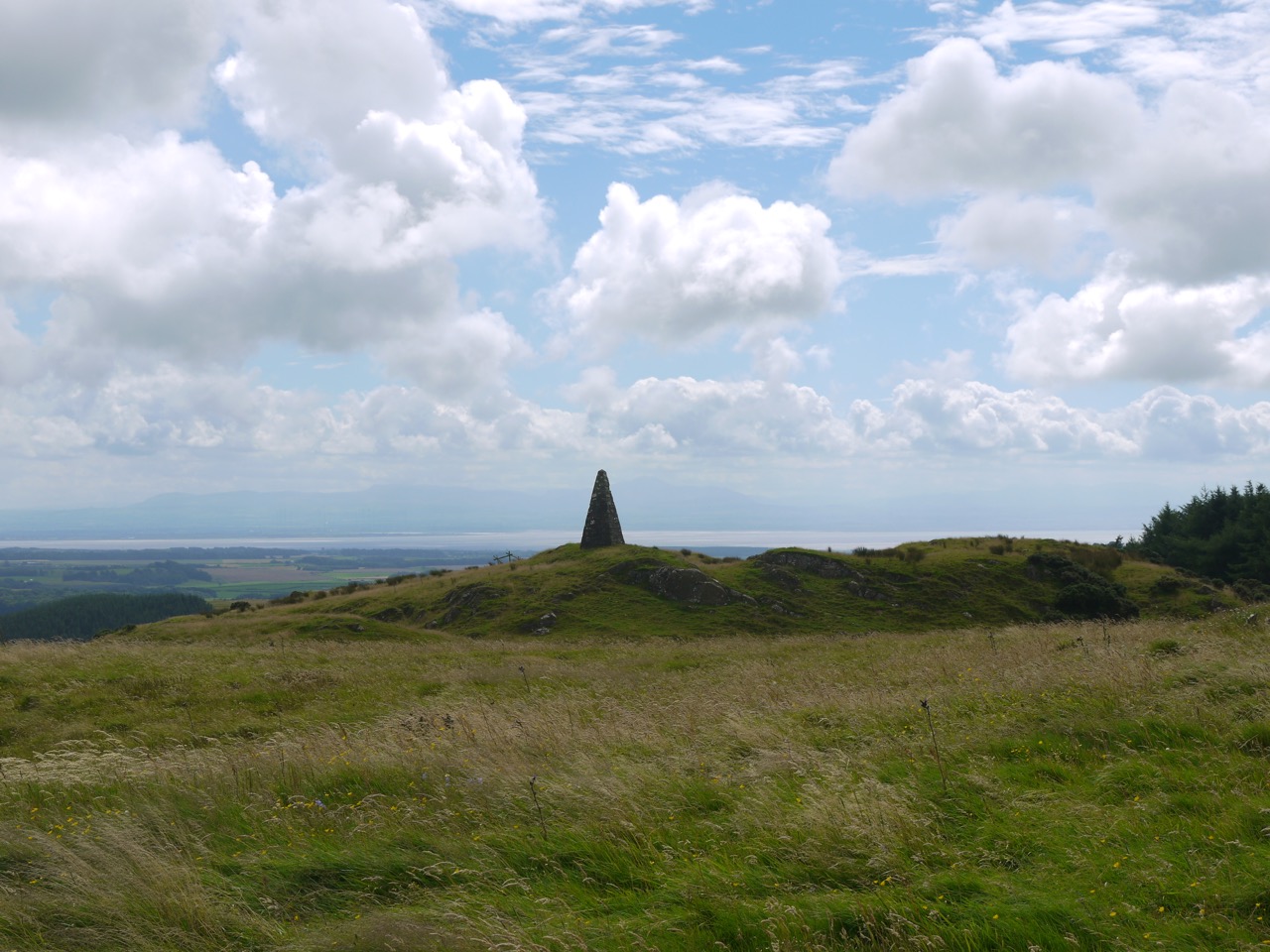
The Monument on Almagill hill came into view with the Solway and hills of the Lake District in the background. From here one could see the whole of Annandale. Their recognisable shapes allowed us to pick out Skiddaw to the south, Burnswark to the east and Saddle Yoke to the north.
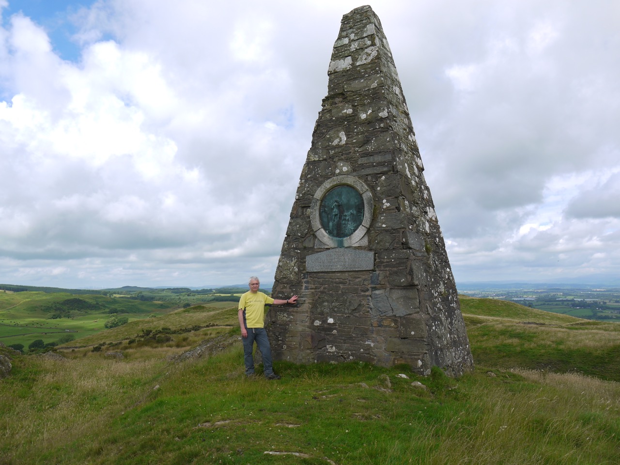
Almagill Hill is topped with Joe Graham’s Monument, a 6m pyramid with the inscription:
“In Memory of Joe Graham for many years huntsman of the Dumfries Shire fox hounds who died in 1893 at the age of 80 and now he has gone far far away we shall never hear his voice in the morning”
A nearby trig point is a useful stand if photos are needed. The monument was a little short of the halfway point of our walk and it would have been nice to sit on the hilltop and enjoy the views while we had lunch, but the wind was picking up so we sat on the rocks in a wee dip beside the monument.
Rested, and refuelled with sandwiches and coffee, we stood once more, hefted our rucksacks, remembered to pack away our cushioned seats, and readied ourselves for the second half.
The way down was unclear so we headed south. I recalled DW spotting an AW plaque on a distant fence post back in 2010 and we managed to find it too, though I doubt I would have seen it had I not known where to look. We followed its arrow and found a marker post then some wear in the grass that one could call a track.
An AW gate funnelled us onto a fenced track between the field’s dyke and a parallel fence. The field to our right had been ploughed/turned over and was soil except for a small grass topped bank, where some sheep were making the most of their meagre grass. The fenced track led us to a well maintained farm track which we followed down to a minor road. A signpost inscribed “Joe Graham’s Monument, 1650m approx” pointed back the way we had come. Approximately 1650m? I wondered how accurate it needs to be?
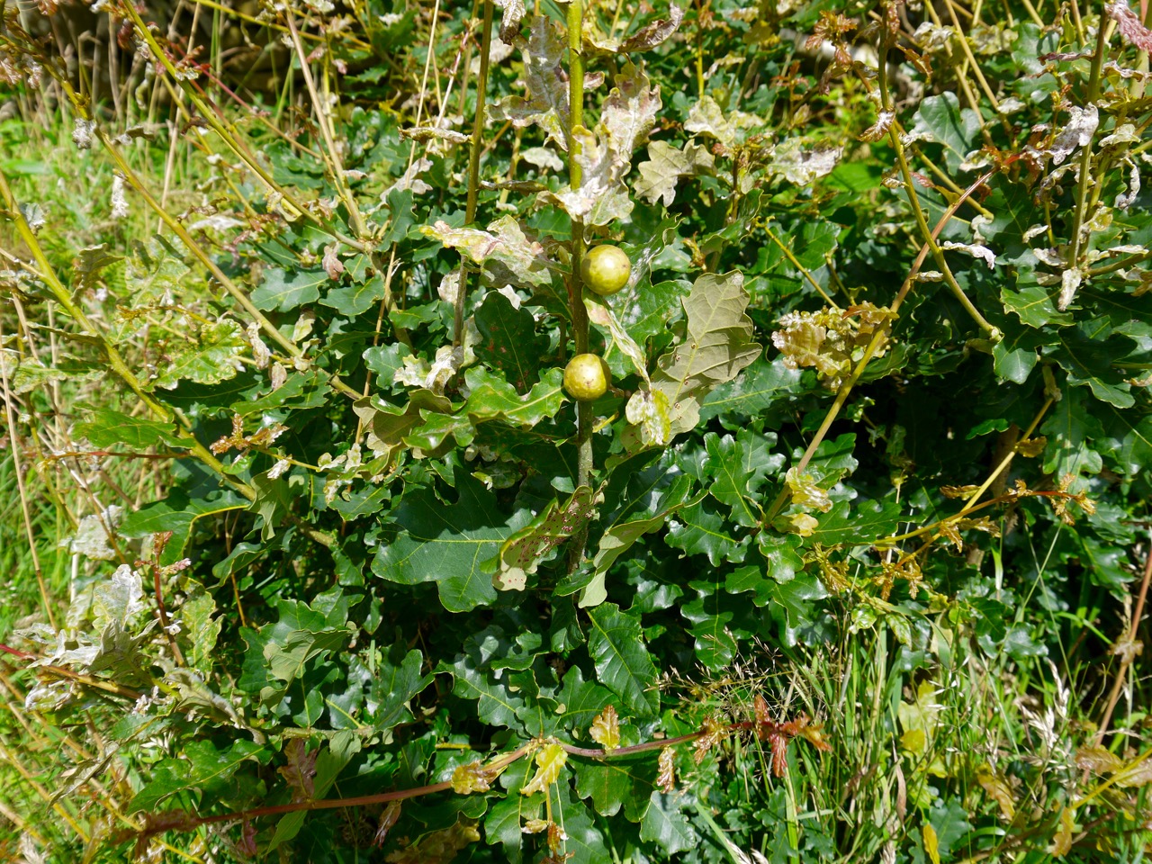
Oak Marble Galls (wasp larvae)
The next hour and a half or so was spent on minor roads but we saw very few vehicles. We walked a little way on the B7020 again and avoided the woodlands with a sign warning they were diseased. Passing through Dormant we decided not to go in search of the alternative route up to the river, continuing instead on the road, the way marked route, a pleasant walk beside woodland and fields of crops. Some of the trees had been felled giving more open views across the desolation.
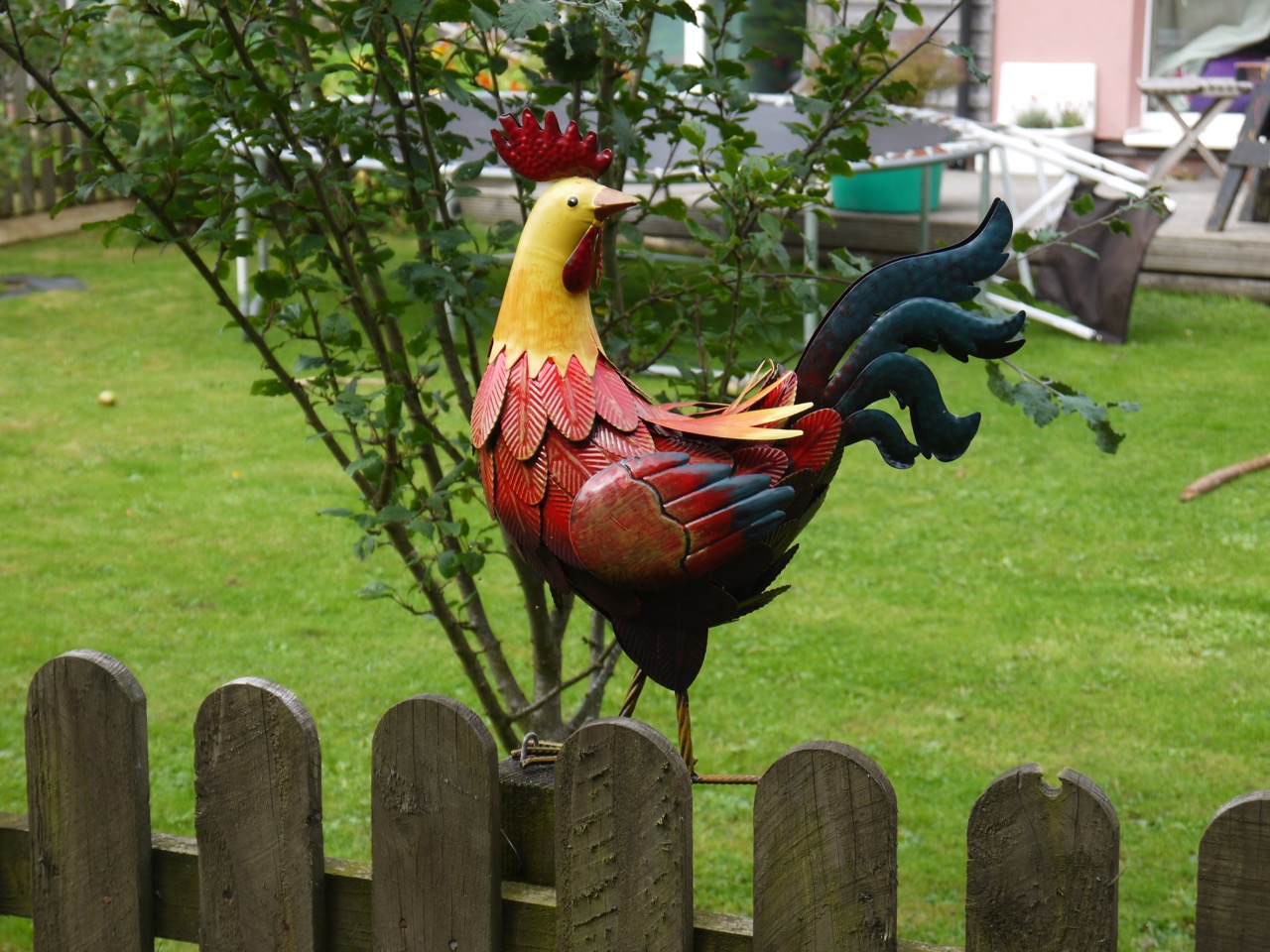
Dormont Cock
And then we reached Williamwath Bridge where my confusion with our position began. Audrey managed to convince me, correctly, that the river we had crossed was too big to be the Water of Milk, but having accepted my mistake in recognising the river I held on to the unfounded belief that the Water of Milk was at 9 miles rather than 13 miles.
River Annan at Williamwath
After Williamwath we climbed some wooden steps, crossed fields high above the river then had a pleasant riverside stroll in young woodland. We found several commemorative benches and a rather splendid fishing hut, The Beild (shelter, Scots). One bench was inscribed “To cast a line and have a dram”, another “Sheena’s rest”.
St Mungo’s Church
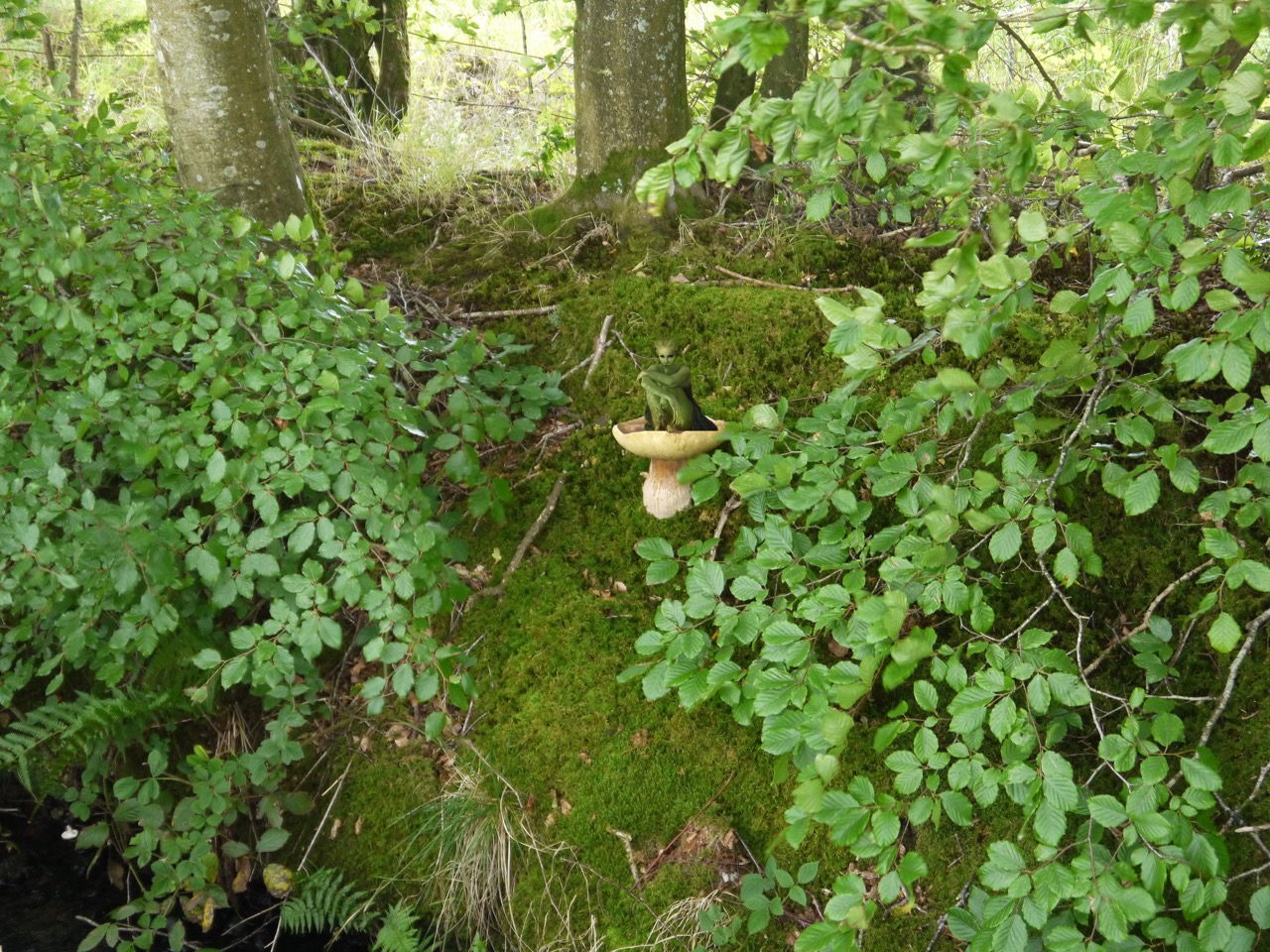
We reemerged onto a minor road which took us down past the well maintained ruins of St Mungo’s Church. St Mungo, also known as Kentigern, was Bishop of Hoddam in the 6th century. He is the patron saint of Glasgow, is said to have converted Merlin to Christianity and his name is remembered in the St. Mungo’s Hospital for Magical Maladies and Injuries from the Harry Potter books. Masses of fungi grew beneath a tree opposite the church, so much that in another time one might have inferred a magical cause.
Across the road from the old graveyard surrounding the ruined church is a new one which looks to still be in use. Past here the road begins to climb. It wasn’t much ascent but coming towards the end of the walk it seemed steeper than it was and it was a welcome change when at last we started to descend. We found ourselves walking past fields of oats and more giant toadstools beside the track.
Toadstool
Our path became less road and more track as we walked through the young woodland of Sorrysike Moor. When we reached the junction with the Lockerbie section of the AW I paused a memory bubbling into my consciousness, and turned around to see a log at the edge of the trees. I recall Vivienne resting there when we walked this route in 2010.
Winter Rape
The crops in the next fields were not ones we recognised at the time. One was Winter Rape in its pod stage, the second I thought looked a little like corn, but Audrey thought not. We then left the fields, joining the minor road at Brocklerigg Farm which brought us to the long awaited Water of Milk. The water of the river is clear with a rusty brown tint from the rocks on its bed, so its name does not reflect its colour. The name apparently derives from milleach meaning “flowery or sweet grass”, and is also found in the names Castlemilk and Abermilk.
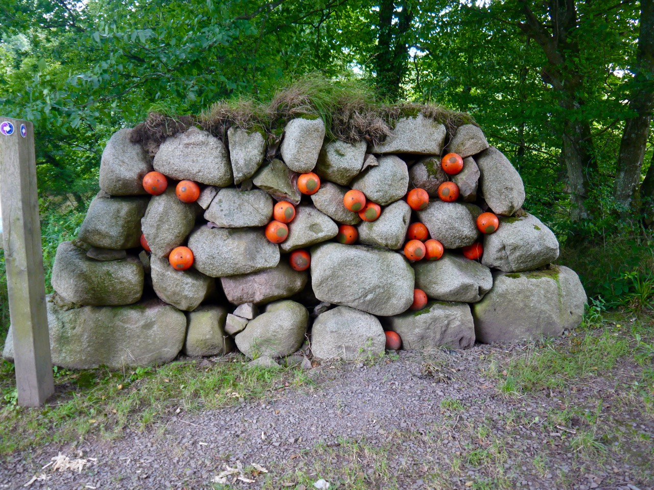
Eggs in the gravel wall
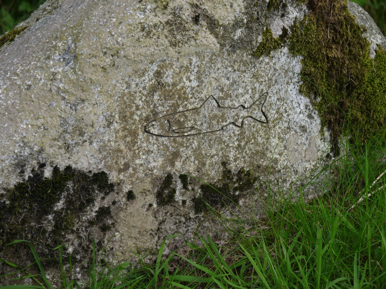
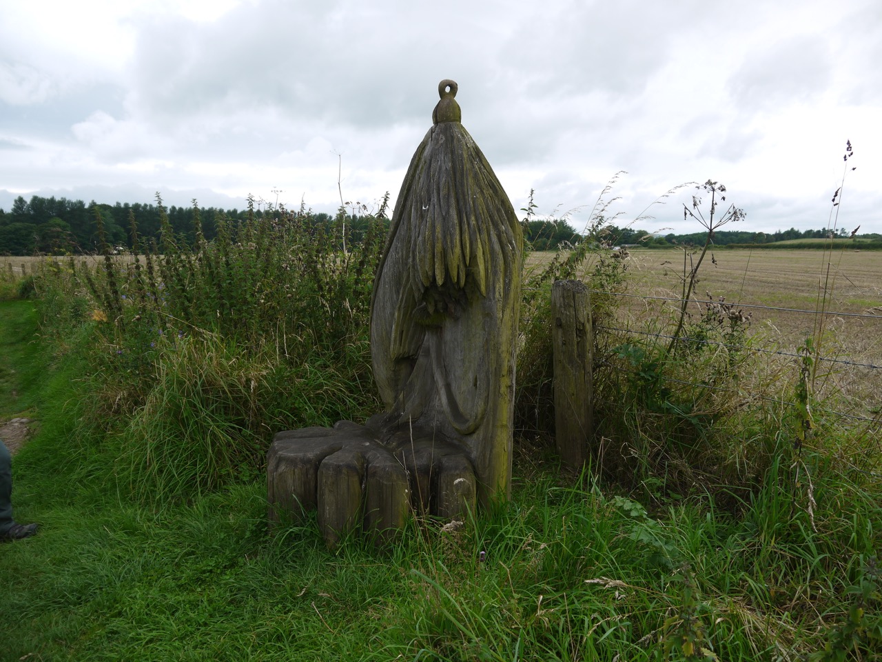
The Annandale way runs beside the Water of Milk and then the River Annan and an information board with a visual poem marks where the waters join. There is a strange construction beside the river, a wall of grey rocks interspersed with orange floats. I have spent many hours trying to find what it represents and, like the Water of Milk, I have now stumbled on an explanation. It is the first part of the “Salmon Trail”, the “Egg in Gravel Wall” representing salmon eggs which are tiny orange balls in the gravel of the river bed. Next is the “Hungry Fry Picnic Bench”, then the “Exploring Parr Boulders” a group of boulders with tiny salmon carved onto them, and finally the “Off to sea finger post”, a tall totem pole like carving. There are also several other carvings along the way and quite a profusion of blue cranesbill.
We left the Annandale Way at the footbridge to Hoddam Castle and made our way, past some Belted Galloways, then through Hoddam Woods, to the car, pausing briefly to buy ice lollies from the castle shop.
Carved seat
On reflection this section of the AW had quite a variety of walking and plenty to keep the boredom away. The weather held up well, though it did get a little windy later in the day and we had one brief hint of rain. And I remembered to put on sunscreen.