From Kirkcolm to the Corsewall Lighthouse
7.22 miles 5h 43m ascent 250m
Kirkcolm-Corsewall Lighthouse
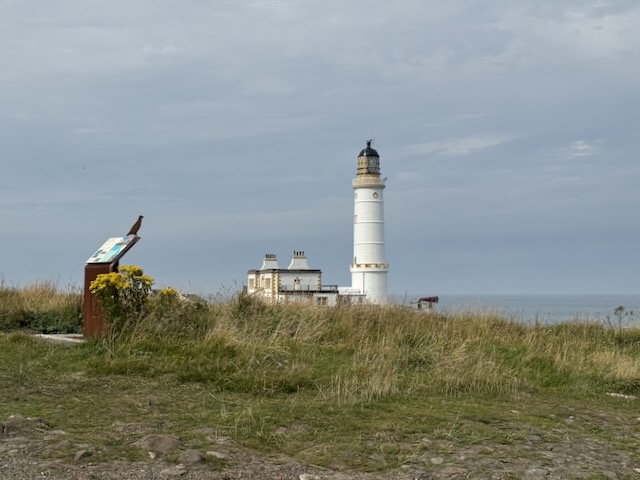
This is the section of the Rinns of Galloway Coastal Path between Kirkcolm and Cornwall Lighthouse. It has some easy walking, and some annoying sections; there are views across Loch Ryan and into the Forth of Clyde with Ailsa Craig sat in a sea haze throughout the day; we encountered cows, a wild goat, roe deer, and butterflies in profusion. This was the tail end of a heatwave, and that tail proved somewhat fatter than expected. The word “travail” was in the title of the first draft.
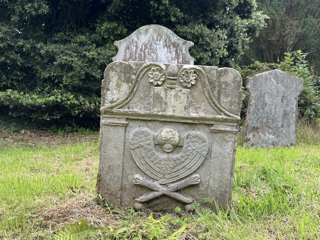
We picked up where we had finished the first leg, in Kirkcolm. The track to Corsewall Estate and Home Farm took us past St Columba’s Well and the old Cemetery again but we strode past having explored them at the end of the first section. It was a pleasant start, walking in the dappled light of a mature woodland. The track took us by Kirkcolm Bowling Club (1865) which has a lighthouse on its badge – presumably the Corsewall Lighthouse and a plethora of advertising posters around the Green..
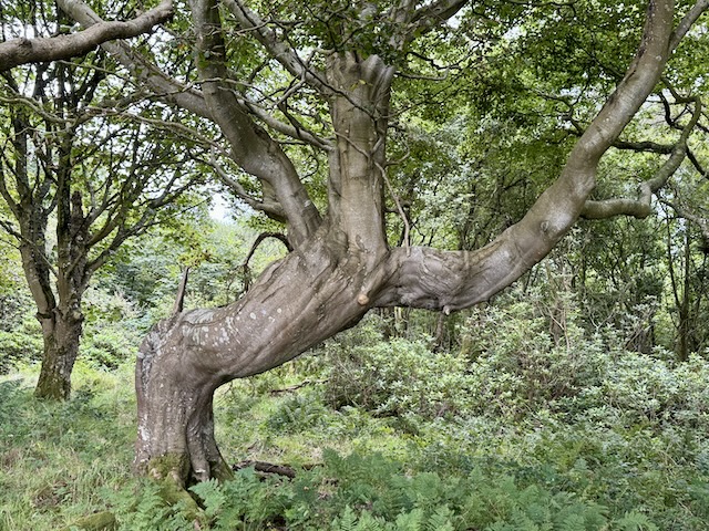
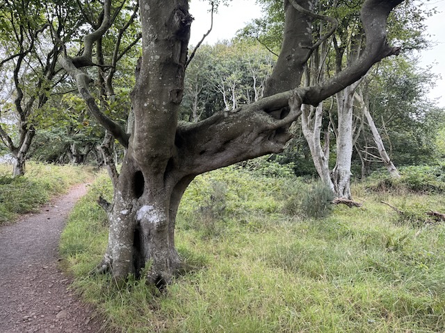
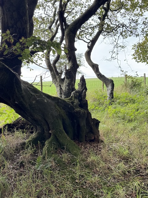
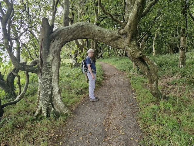
Where I had expected us to have a brief walk along the A718, we found a path had been laid through the woodland beside the road which was a pleasant surprise. After about 100m the path turned to climb Clachan Hill. The trees near the road were straight and tall, but further along they were more misshapen, as if a dryad had sculpted their boughs. Some of the trees looked like spirits frozen in place while others seemed to offer places woodland fairies might sit. Some branches had fused forming closed loops. I believe this is called inosculation.
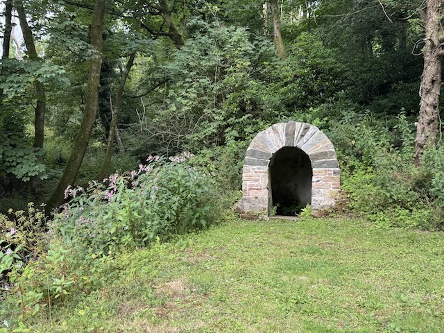
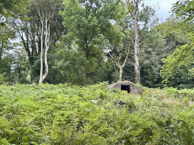
Deep in the woods and much overgrown we passed a building that looked to me to be a WW2 bomb shelter. But what a strange place to build it: deep in a wood. The OS maps show the area as “Dove Cot Wood” and the older maps show an actual “Dove Cot” just about where we saw our supposed bomb shelter. I’m no expert on either construction but I’m leaning towards it being the remains of a Dove Cot. We didn’t investigate further.
Those older maps also show “Cairn (site of)” at the top of Clachan Hill and presumably that’s how it got its name, clachan, meaning stones. Another interesting name on the old map was “Ace of Clubs Plantation”. This was mentioned on some estate notices we passed but is not on the modern OS maps.
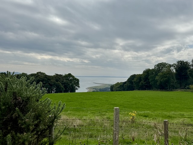
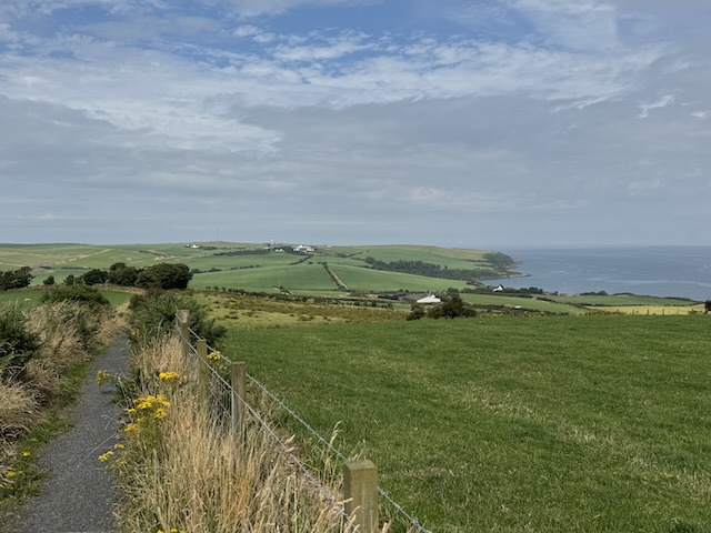
A picnic bench with a plaque mentioning the nearby rowans was placed near the top of the rise, and had good views of Loch Ryan, with The Scar curving into the loch like a scimitar.
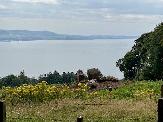
We left the trees to walk along a path above “Miss Mary’s Plantation” before joining a country road for the walk down to Portbeg. The hedgerows here had a good collection of garden flowers growing wild.
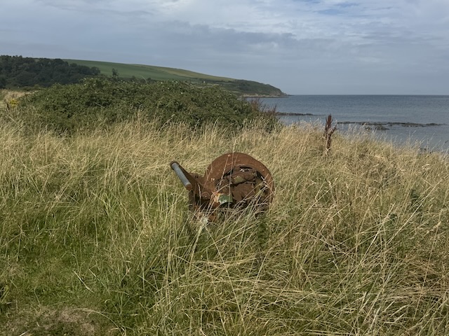
On reaching Loch Ryan at Portbeg cottage and we had our first scent of the sea. The calls of oyster catchers and gently lapping waves completed the experience. The rocks here are covered in lichen and OS labels the coast ‘yellow crags’ a little further along. I found myself wondering if there might be a Portmore along the way, and sure enough there is. But whereas Portbeg had a wee bay which I could imagine a rowing boat pulling into, the only sign of boating at Portmore was a rusting cable winch. A small building completely covered in greenery might once have been a boat house, but had a WW2 look about it.
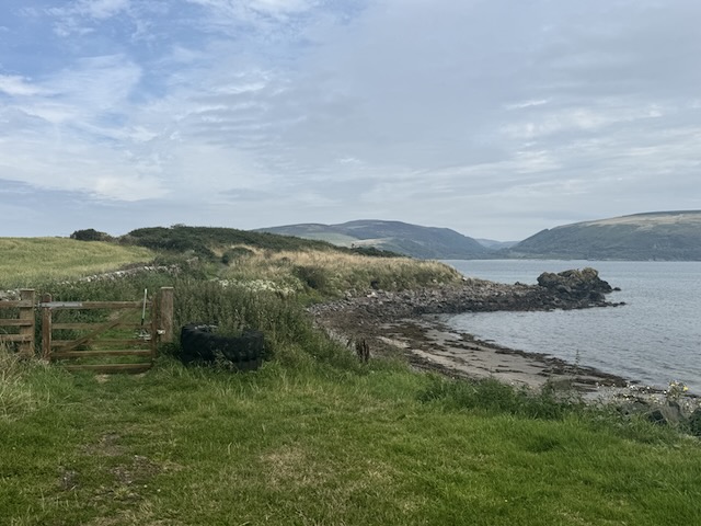
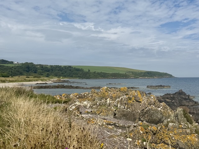
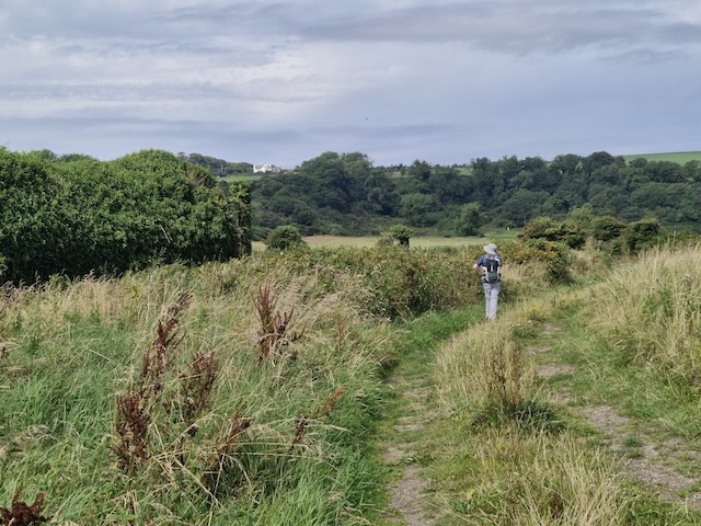
The walking here was pleasant. A well made path underfoot, nice views and the sun behind a thin screen of cloud, with summer wildflowers and butterflies everywhere. I felt something land on my left forearm and looked down to see a small creeping thing. I brushed it away without much thought. A moment later I felt it again but when I looked there was nothing to see. I brushed away the unseen thing. And felt it again. This went on a few times before I realised I had become entangled by an unseen thread, presumably a strand of a spider web. So if you saw a strange man waving his arms about, that was me trying to disentangled the thread.
There were a couple of anglers in the shallows and several families on the beach at Lady Bay. I think it was around here that we saw a sign telling us it was 6km to Corsewall Lighthouse. That must be a more direct route. It is 7.5 km along the coastal path.
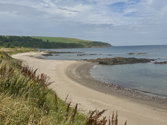
We walked up from the beach on a minor road. Some trees were heavy with crab-apples and the wild roses had hips as big as the crab-apples. It was nice to have the shade of the trees as we climbed. Then we joined the coastal path on the cliff top – though “cliff-top” is stretching it a little.
The path here had became more disheveled; narrow, overgrown and uneven but definitely there; you could see gravel occasionally and some of the smaller ‘streamlets’ were covered by mini-bridges. Stands of gorse were making an effort at reclaiming the path and I was surprised how easily they pricked through my trousers. But by far the worst problem was the lush grass on the path which hid the uneven ground underneath and masked holes. I fell foul of one such hole and seem to have strained a hamstring.
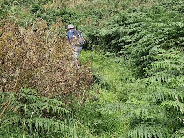
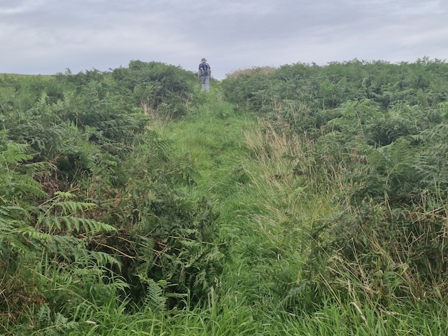
In places, such as where the path passed above Marsh Slung, there was only a narrow gap between the fence and a steep drop. The ground, which sloped downwards was hidden by the grass, so each step had to be checked carefully. This meant our attention was focussed at our feet. The pace slowed and any hope of ‘striding along’ was gone – but it was no less tiring.
Slunk is a name used locally for a sea-gully and I wonder if Marsh Slung has a similar connotation. I read a report of a walk some years ago that headed across the fields from here and had some remarks that the field gave them some suggestion as to how the “Marsh” part of the name arose.
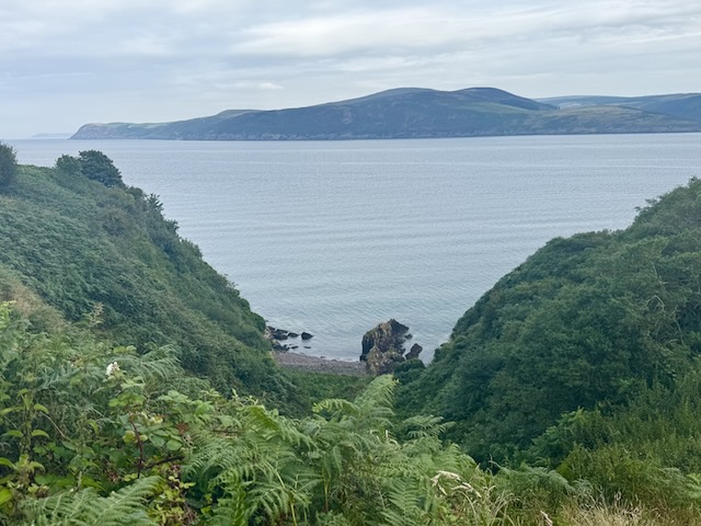
We had stopped briefly for water (and jelly babies) a couple of times but with lunchtime approaching we began to cast about for likely places to sit. Of course the picnic tables were long behind us, so it was rocks we were looking for. Eventually I set a deadline time – if by then we had not found suitable seating we would stop for lunch no matter what and sit on the ground if need be. As the deadline approached we found a rocky bank; more misericord than seat to be honest and I eventually gave up and sat in the long grass.
We were just a little short of Milleur Point, the most northerly extent of the Rinns, where the coastal path turns westwards. The rather French looking ‘Milleur” is actually an anglicised Meall Odhar, grey hill, which tells you what it looks like. Milleur Point was a marker of sorts. When we reached it we had a) completed a full horseshoe of Loch Ryan and b) walked the whole of the eastern side of the Rinns of Galloway (having walked the Mull of Galloway Trail in 2023). Two achievements!
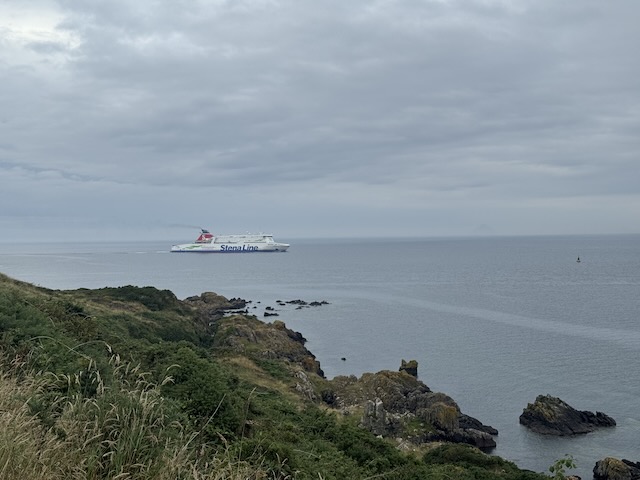
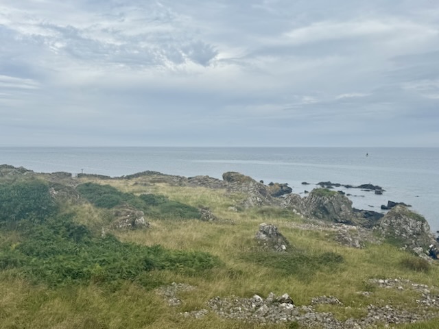
I had hoped the path might become easier once we turned along the northern coast. Ha! Ha! Ha! In a film, the villain would clap his hands slowly while saying “Bravo!” in a mocking tone.
Within five minutes of starting again after lunch we came to a flat hollow filled with rocky outcrops. I imagined each one as eagerly calling out “ Here! Here! Sit on me!”. Well isn’t that always the way: seats galore just after stopping for a seatless lunch. As I stood surveying the ‘field of seats’ a wild goat jumped from the rocks behind us and stood to watch us pass. Apparently goats signify good fortune, or hidden treasure. I will ponder what ‘treasure’ we found: resilience? stoicism? fortitude?
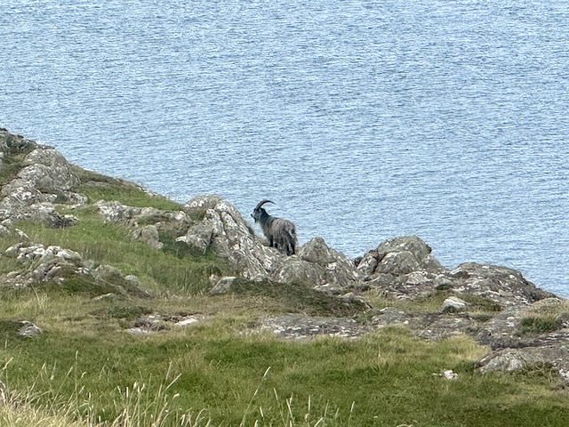
Anecdote: the goat reminded me of an episode a few years ago. A learning experience on a wee hill. There was a scree slope that I had initially avoided on the basis that it would be unstable. Instead I was taking a much longer route. But – there were wild goats standing on the scree, occasionally wandering about with disturbing so much as a tiny rock. I decided to take a shortcut across the scree. That was many years ago – I am wiser for making that choice – mountain goats have magical feet I do not.
The terrain certainly changed. And as to the path? What path? Much of this section was without discernible tracks. I take it the trail hasn’t had enough walkers to mark out the paths yet. Waymarkers and signs seemed placed where no choices existed (confirmation-waymarkers) but few seemed to be placed where a true choice presented itself.
As we made our way we would see a waymarker or gate on the next rise, or in a hollow, but the way to reach it was uncertain. And after battling through difficult terrain we would find our way blocked by a gully, impassable vegetation or more wetland, and have to retrace our steps.
Our main confirmation that we were on the right track was the style of gate. I presume there had been a job lot of these RGCP gates. But one shouldn’t rely on there being gates: the only way across one wall was a small section where it had partially collapsed into a pile of unstable rocks – but still leaving a fence to climb, though to be fair that was falling over as well.
As well as lacking discernible tracks, the ground was in many places, “pugged”. A useful word that, describing the churning of soft ground by cattle. If wet this produces a glue-like substance combining soil and ‘other organic material’; usually of indeterminate depth but invariably deeper than a boot. Its special characteristic might be producing the slapstick topple. The ground suddenly gives way beneath the leading foot while gripping the rear foot tightly. It’s no laughing matter at the time, but we can all smile about it now.
In other places there was merely unpugged wetness to cross. I acquired wet feet. But we had had a heat wave so there was also desiccated pugging. Sections of ground honeycombed with holes six inches deep, and walls that crumbled when stepped upon.
Take the uncertainty of the route, the backtracking, the unpleasant ground, pulled hamstrings, slapstick topples and add in a heatwave. Now I know what you’re thinking. “FFS, Mike. Why go on a walk during a heatwave?” Well the walk had previously been called off because of the heat and I had already decided that it was too hot for the dogs, especially since there was not much in the way of fresh water for them on the way. But. The forecasts, note the plural, had temperature maximums of 22° and I expected this section to only take about 4 hours.
Before lunch it had not seemed particularly hot but there was a definite change once we passed Milleur Point. I don’t know how high it was, the official maximum reported for the area was 22° but it was 25° when we got back to the car.
We were flagging a bit. Audrey wondered about early heat exhaustion and I think she was right. We stopped for water, and had the chilled water I had brought along instead of coffee. We seriously considered getting over the wall (and electric fence) and ‘escaping’ over the farmland to find a metalled track. But all things considered, there was probably little to be gained by that so it we pressed on. I reckoned we had 3km to go but it turned out to be closer to 4 km.We were careful to take it slowly, with frequent timed stops. Unfortunately there was no shade but we did both have wide-brimmed hats.
I wasn’t particularly happy to find a herd of cows between us and one of the gates. Even less so when I saw those closest to us were young bull-calfs. I took a bit of a detour along the rocks near the beach but I think Audrey took the more direct route. The beasts stood up and strolled away but then stood watching us – their curiosity turned to ‘full’ – and not far from the gate. I was pleased when we had a wall between them and us.
During the Iron Age, a promontory fort was built at Caspin. A deep gully was dug across the neck of the promontory and a drystone wall was built along the lip of the gully, creating an impressive defended settlement. Later, the gully was used in harvesting kelp in the 18th century. A trackway led down to the base of the gully, where you can still see revetments for a platform onto which kelp was hoisted. Burnt kelp was used as fertiliser, and for making glass and soap. It also has bleaching properties, and may have been harvested here for use in the local linen industry. Place-name: origins unclear, perhaps Gaelic cas ‘foot’ + peighinn ‘pennyland’, making ‘foot of the pennyland’. A pennyland is an old land measurement, perhaps of Norse origin.
– RGCP archeology leaflet
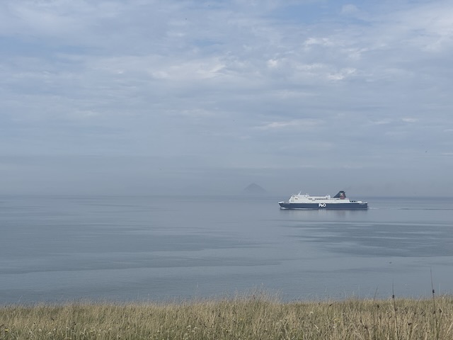
As we walked I was paying more attention to my watch (timing our stops) and took far fewer photos than I would have done usually. And unfortunately I wasn’t making much of an effort to find the few specific things marked on the OS map. I can’t say I noticed the “fort” near Caspin headland or the second St Columba’s Well. When we stopped I tended to look across the water to Ailsa Craig and the Mull of Kintyre (occasionally glimpsed).
We could see the Corsewall lighthouse ahead along the coast but it looked a long way off. I felt like one of the guys from “Ice Cold in Alex” stumbling along as the sun beat down – but that was just me being a drama queen.
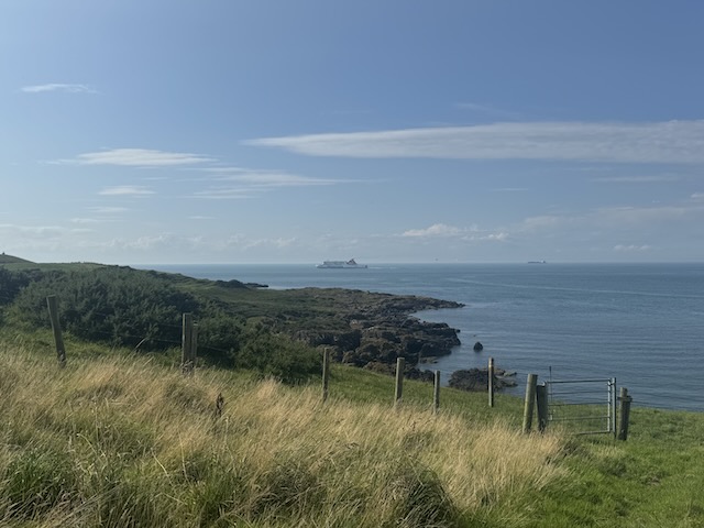
There were a couple of times we needed to turn inland to get round deep gullies, and when you are tiring that extra distance does seem a bit of a bind. A roe deer stood watching as we traversed one of these, and herd of cows at another. I realise now that the official GPX route has been drawn rather than recorded and does not show the twists and turns of the route faithfully.
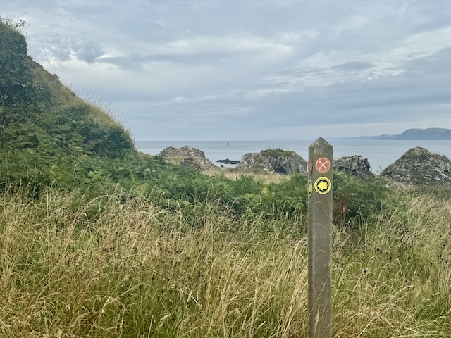
The gate in the photo above seemed to be a cruel joke. We were walking along a wall at that point and came to a fence heading downhill. the path turned downhill, and so did we. I imagined the the path would continue on at that level, perhaps descending further but the marker post you can see just past the gate directed us back up the slope to the wall. Why was the gate not installed up there? I can imagine it might have been to insert a little excitement into an otherwise straight section, or perhaps to turn a walker’s gaze out towards sea, or even some engineering requirement, but at the time it seemed like a joke was being played on us. I’m not laughing quite yet.
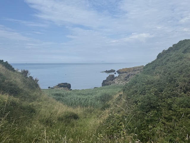
At Burnfoot, one of the deep gullies we had to pass, there was a wooden footbridge and we looked down to a section covered in dark green reeds; a very different green to all the other vegetation we had seen. I had a vague recollection that the OS map marked this as “Giant’s Grave” and wondered how that name had come about. But I was mistaken – the giant’s grave is a headland a little further west. We had seen it from the higher ground but had not identified it.
According to local tradition a giant called Murchie was buried on a remote rocky outcrop at the northern point of the Rhins to the east of Corsewall Lighthouse. The place is said to be haunted, presumably by the ghost of the giant, and in the mid-1800s, a man digging for treasure at the outcrop took fright and, in his rush to leave, fell and broke his arm. Not long afterwards, the discovery of a grave with bones seems to have confirmed the burial story.
– RGCP leaflet
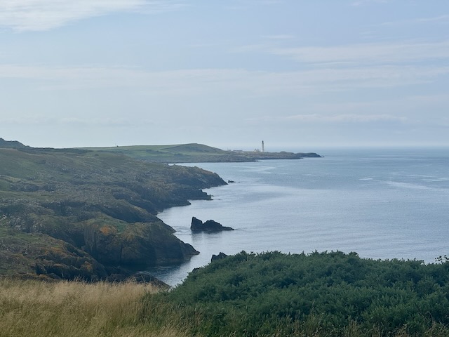
There was a short climb up Finan Hill, which we could have done without. The path had been mown but it had been in tufts before being cut so the path was quite uneven underfoot. I am sure it would have been nothing if we had done it on a different day.
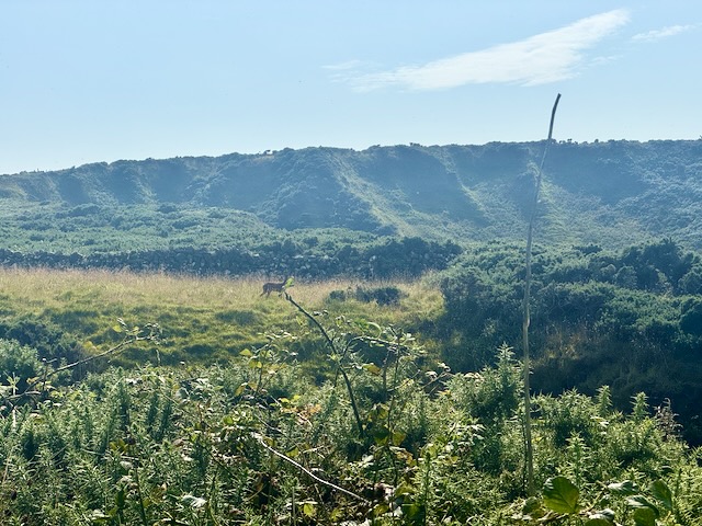
There were still a few rocky, uneven, or boggy sections to cross before we finished, but we found our first shade beside a small ruin, too small to have been a cottage, at Portmullin. By this time I didn’t give the wee building much thought, just sat in its shade while we took our rest.
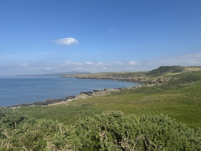
Back at the car I was glad of the cold water I had stashed and breathed a sigh of relief when I swapped my hiking shoes for sandals.
Quite a day. It definitely would not have been a good section of walk for the dogs, even if it hadn’t been so hot. I wasn’t really paying attention to the surroundings towards the end and might need to come back on a cooler day to have a look around.
Post-Script: Wildflowers
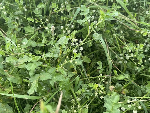
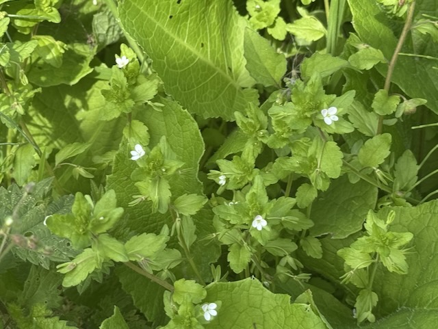
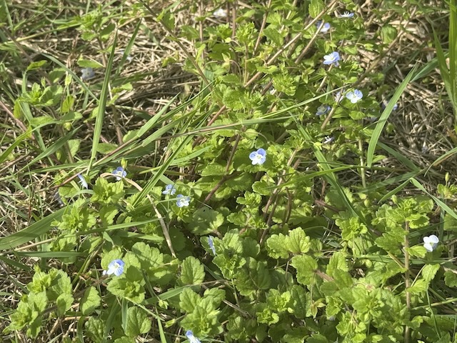
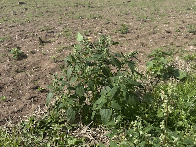
Posting pictures of the day’s wildflowers would give a skewed impression since I only took photos of those I couldn’t name at the time. There were the usual suspects along the way: quite a bit of sea mayweed, and some pineapple mayweed, a surprising amount of scabious once we were past Milleur Point, both devils-bit and a bushy variety that might have been a garden variety. Banks of horsetail stood in the shade of trees. Most of the dandelion lookalikes and thistles were seed heads, some foxgloves still had straggling flowers and even some of the brambles were still flowering, though most were in fruit. There were dead-nettles and woundwort in flower and I realised I had forgotten how to tell male and female nettle flowers apart – I have revised, so now I can. Fat Hen is one of those supposedly common plants that I can’t say I have seen before, though I must have done. The speedwells were varieties I didn’t recognise.