8.15 miles 3h 54m ascent 113m
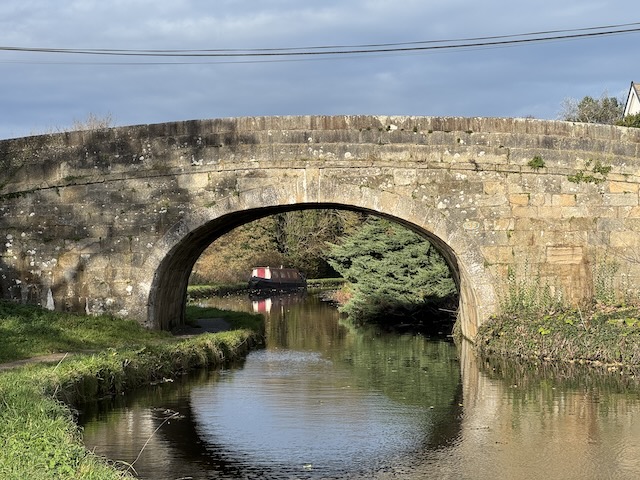
Lancaster Canal: Carnforth to Holme
This day’s walking took us from Carnforth up to Holme, from metalled paths to grassy banks; and from Lancashire into Cumbria. It was a day walking by sycamores of curling leaves and ash trees bare but for their keys of seeds. There were swans and cygnets, herons, an egret, ducks and moorhen. It was the day I realised why a collection of starlings is called a murmuration.
We walked from Carnforth to Holme; having parked in a lay-by near Bridge 149 and taken the 555 bus back to Carnforth. The heavens opened just as we drove into Holme but had stopped before we caught the bus. The bus stop was beside a hedge, from which there was a cacophony from what sounded like hundreds of sparrows. The chatter would stop suddenly, making us aware of the slightest sounds, even the movement of leaves in the wind; and then begin again afresh.
We rejoined the Canal towpath at Bridge 128, beside a children’s playground. Audrey, more attuned to the facts, pointed out that the mothers were here with younger children, having dropped their older siblings at school.
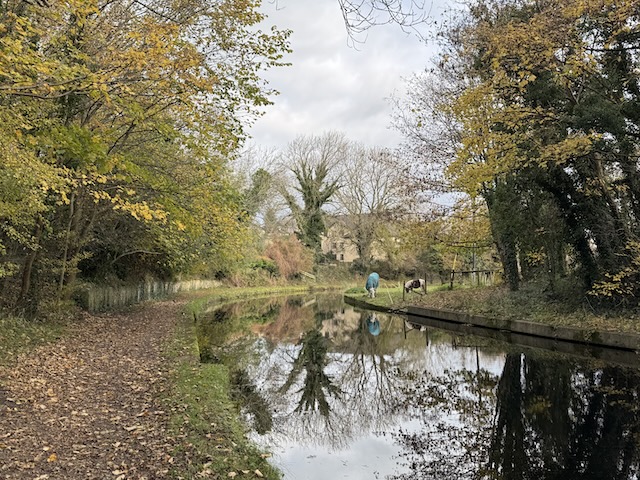
The towpath here was still a metalled path, and though we were close to Carnforth, with buildings on the towpath side, across the canal the surroundings were more rural; a horse and a pony grazed and two magpies hopped about — though I claim not to believe suspicions, I do prefer to see two rather than one magpie.
Neither of us could immediately identify the two tree types I have already mentioned; the trees with hanging clusters of dry, winged seed pods — keys— which were bare of leaves here but later in the walk still had some allowing us to recognise them as Ash; and the trees with curled leaves which we argued about — maple or sycamore — before agreeing on sycamore.
The sheep breed hereabouts looked to be the type that Shaun the sheep is based upon but with a very high proportion of black sheep.
The metalled path gave way to grass and there were no more of the ‘ramps’ we had noticed on either side of bridges. I can only imagine they were there to warn — the blind? cyclists? — so they would not bang their heads on the bridge. But bear in mind the space was designed to be large enough for a horse. Anyway, they were no more.
A series of modern bridges took us under the A6070 and M6. These carried numbers but with ‘A’ or ‘B’ appended. A nice touch; the only effort made to blend in.
We walked beside the M6 for a while; me wondering what the navvies who built the canal would have thought about the speed and volume of cargo now being carried on the road beside their canal. Not to mention the railway, crossing the Capernwray viaduct off to our left.
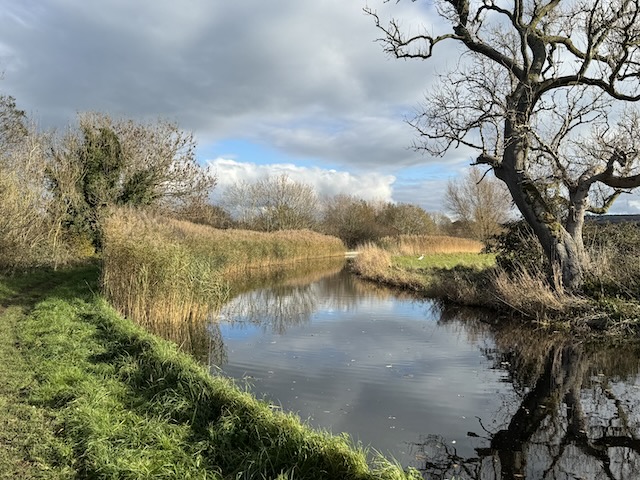
We began to see larch, which as we made our way north became the predominant tree. The hedges beside the towpath had been pleached — though I’ll admit that I had forgotten the word and had to look it up.
A wee sign informed us when we were crossing the viaduct over the River Keer.
KEER AQUEDUCT
A SINGLE SPAN AQUEDUCT, 43
FEET LONG, CARRYING THE CANAL 35 FEET ABOVE THE RIVER KEER.
ENGINEER: JOHN RENNIE
FIRST USED 1797
It was numbered 132; so the viaducts were included in the numbering, along with the bridges.
Approaching Capernwray we saw a sign for the “New England Tea Room” and I thought we might have our elevenses in comfort. I even toyed with the idea of a piece of cake or perhaps a scone (which I pronounce sk-own). It was obviously on the far side of the canal but there was a bridge in the distance and we could cross on the road.
The bridge is number 132A. Indicating it was not one of the original bridges. What’s more, it carries not a road but a railway, and therefore was not somewhere we could cross. A canal stood between us and the tearoom. I added the New England Tea Room to my list of ‘grudges held.’
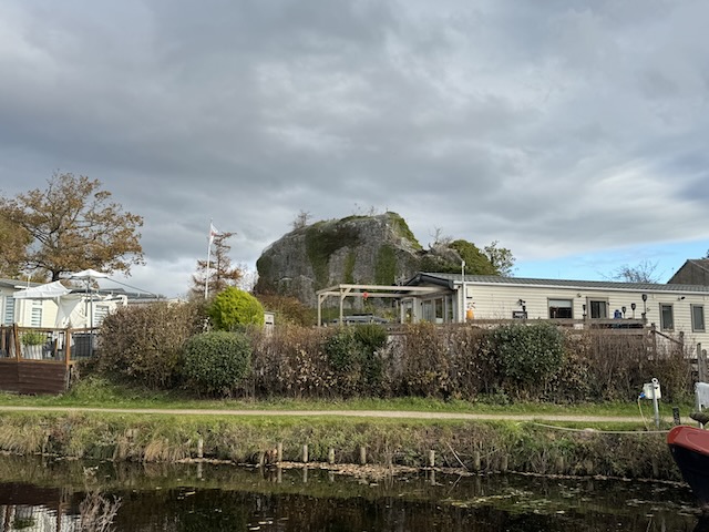
There were some narrowboats hitched by what was obviously once a dock, presumably made of limestone; the ‘white’ of the Black & White Canal was once loaded. The quarry is now a caravan park and a tea room. A large structure, looking like the rampart of a ruined castle, is actually a remaining section of unquarried limestone.
A boxy building painted drab olive caught my eye, looking very much like something from WW2 I would expect to see on an airfield. It is a strange place to have a military building. I haven’t been able to find out what it was, but Google suggests it is probably a site building holding electrical or pumping equipment but painted to comply with rural planning rules.
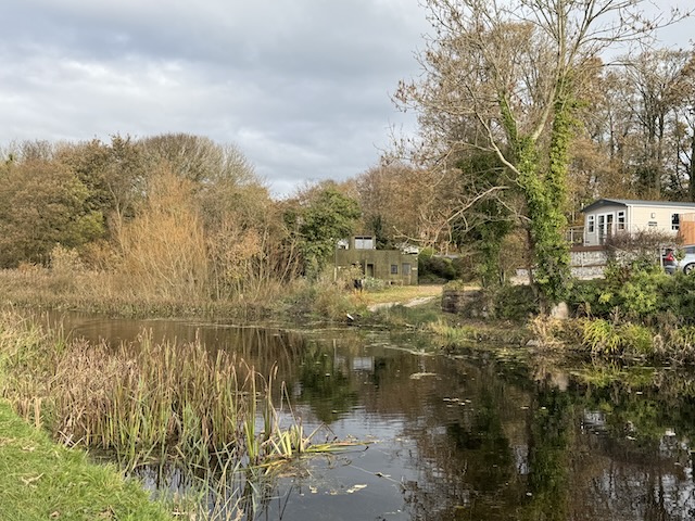
Just beyond the caravan park, the canal had what at first sight looked to be an island. That had us perplexed. It is the Capernwray Arm, a short canal extension originally used for loading stone onto narrowboats, but now used as a sheltered mooring.
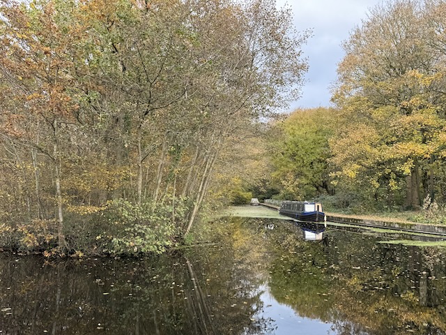
There is another large jetty near Borwick Hall with some rowing skiffs tied up. We couldn’t see the hall itself, which is a little way back from the canal.
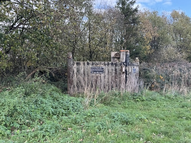
It was only a few more minutes’ walking until we reached the end of the navigable part of the canal at Tewitfield (pronounced Twyfield, as we would find out the following day). There is quite a large marina there now.
When the M6 was built in the 1960s, it cut the canal in three places, cutting off the last 14 miles of canal, the Northern Reaches. The water still flows through underground culverts, but it was considered too expensive to build bridges over the canal. An information board by the Lancaster Canal Trust gave details of how they intend to reopen the canal and allow navigation as far as Kendal. I think that is what is usually referred to as ‘an ambitious project.’
We stopped at the Longlands pub before heading along the Northern Reaches. I went full poseur and had braised lamb’s liver for lunch. With warm beetroot, which was a bit weird.
The Northern Reaches
I wasn’t sure how we would get to the far side of the A6070, but following the footpath near the information board took us under the road and back onto the towpath. There were once eight locks along here, so there was a bit of uphill walking. The locks no longer had their gates, though there was a gate preserved beside the canal. The locks are now waterfalls. The OS map actually has them marked as ‘Weir’.
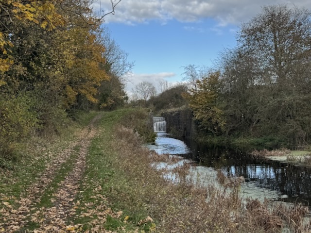
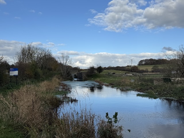
The M6 cuts the canal again after the locks, and we followed Towpath trail signs to leave the canal at Saltermire Bridge, number 141. We walked along Cinderbarrow Lane for a few hundred metres before finding a way back to the towpath. That turn-off didn’t have a sign, so it was lucky we explored it.
I was surprised to find the canal beyond the locks was still well-filled, but rushes were beginning to narrow it in places, and there were more stretches covered with green duckweed and pennywort. We noticed a field with alpacas mixed in with the sheep, and fields where the cows were all lying down. I know now that doesn’t mean it will rain, but something about it still makes me uneasy.
We heard, and then saw, a large flock of geese but flying southwards. Well, I say flying, they actually seemed to be going sideways, like a plane landing in a crosswind. Audrey reminded me that they should have been heading towards Svalbard. I presume they had hit a crosswind because a couple of minutes later they passed us again, this time going in the right direction.
The hawthorns and blackthorns here still had no haws or sloes, whereas there were plenty of rose hips. I’m not sure why this was. One article suggested that birds tend to eat the haws and sloes before the hips, but I’m not sure I buy that.
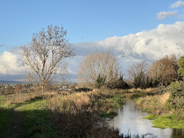
In the place we were staying, they had placemats with a drawing of a winter tree filled with birds. The caption was “Four and twenty blackbirds”. Presumably, they had shied away from the next phrase about them being baked in a pie. Well, as we walked along the towpath, I saw up ahead just such a tree, filled with blackbirds. They were making a racket, and my mind instantly provided the word — murmuration. As we approached, they took flight, moving as only starlings do. I had not realised until that moment that the collective noun for starlings related to the noise they make. I suppose it should have been obvious.
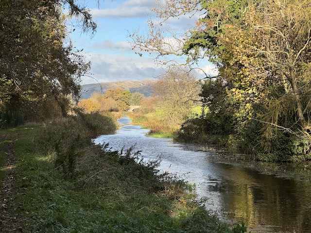
The passage from Lancashire to Cumbria went unnoticed a little after Bridge 143. In my notes, I recorded that the surroundings had gradually changed to feel more ‘upland’ and ‘hill canal’. The only thing that brought the county border to mind was an information board proclaiming “Welcome to Burton-in-Kendal, Cumbria, on the Northern Reaches of the Lancaster Canal – opened in 1819”. This was just before the Burton Aqueduct, which I would not have noticed otherwise.
The sun had broken through for the last part of the walk, adding a golden tinge to the autumn colours, and just before Holme, there were quite a few wildflowers still blooming despite it being November.
The last information board before we left the towpath at Bridge 149 in Holme drew our attention to the coke ovens across the canal. I would have thought they were lime kilns if I hadn’t read otherwise.
All in all a good days walk with plenty to see; some thought needed to find our way, but not too much; a pub lunch; a little sunshine; starting with a cacophony and ending with a murmuration. I think this was my favourite section of all the Towpath Trail.
Download file for GPS