
10.8 miles 6h 14m ascent 490m
 Swineside-High Pike-Caldbeck-Sebergham-Churchtown
Pronunciation of Sebergham….SEBrum (source: Cumbrian friend).
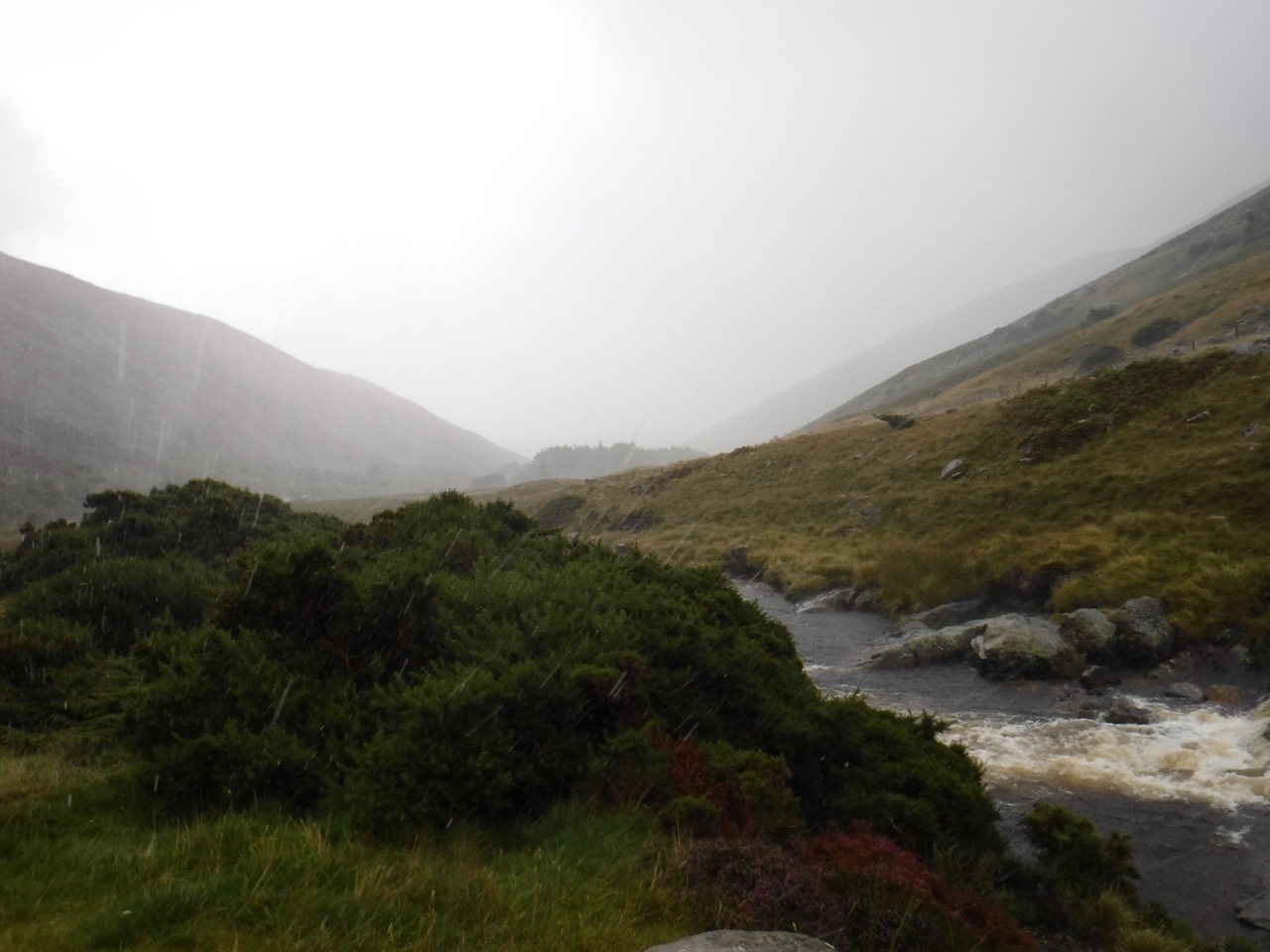
Rain was forecast and the forecast was on the mark. While driving down to Cumbria, though, the sky was blue and the sun was shining. A red squirrel ran across the road and, amid the general feeling of well-being, I allowed myself to believe that the waterproofs might remain packed away. But approaching Mosedale the first light raindrops were hitting the windscreen, and by the time we reached our parking spot beside the River Caldew it was raining heavily. Very heavily. It seemed reasonable to wait out the worst of it so we sat in the car and waited, as the rain became even heavier.
View from the car
We decided to grasp the nettle and brave the elements, but putting on the waterproofs outside in the rain would have left us soaking wet inside the waterproofs. Getting waterproof trousers and jackets on while still in the car adds an extra level of difficulty. The learning point is that we should have moved the seats to make more room. Well I’ll know for next time.
I’m not one to point fingers but one member of the walking group took somewhat longer to get walk-ready, during which the boot of the car was open (for equipment to be chosen/packed etc) and there were still puddles in the back of the car when I got home in the evening.
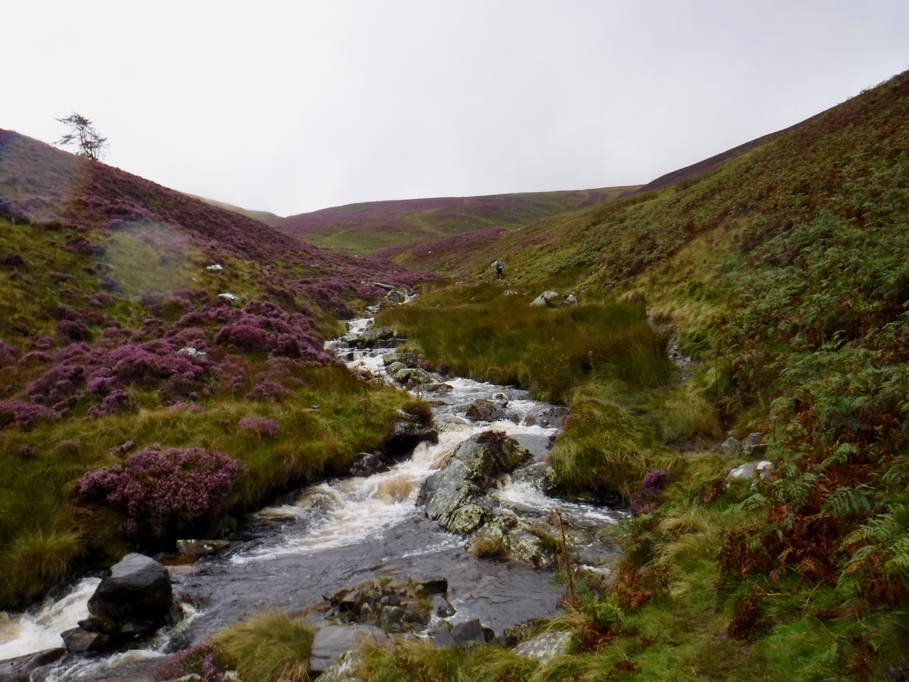
So we set off to walk up the small valley of the Grainsgill Beck, the rain blowing into our faces. This meant I spent most of the time looking down at the ground and noticing the plants growing there. The rain then became heavier still, the noise of it striking me and the sensation increased. Then I realised it had changed to hail.
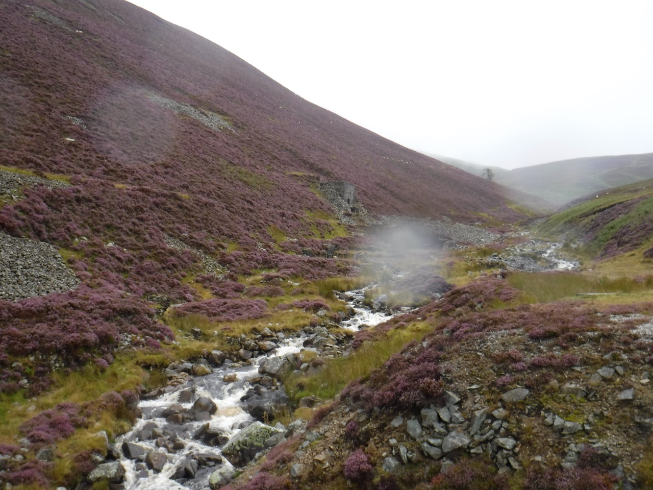
The old mine
A small sign informed us that removal of minerals from the area is now illegal. There was a substantial path as far as the old Tungsten mine, but beyond we were following a single file track made by the passage of walkers rather than an actual path. The stream was in spate and at the Arm O’Grain a tributary stream was too wide to jump until we had followed it uphill a little way. It is interesting that a footpath shown on the OS map crosses the beck where we did rather that where the Cumbria Way does.
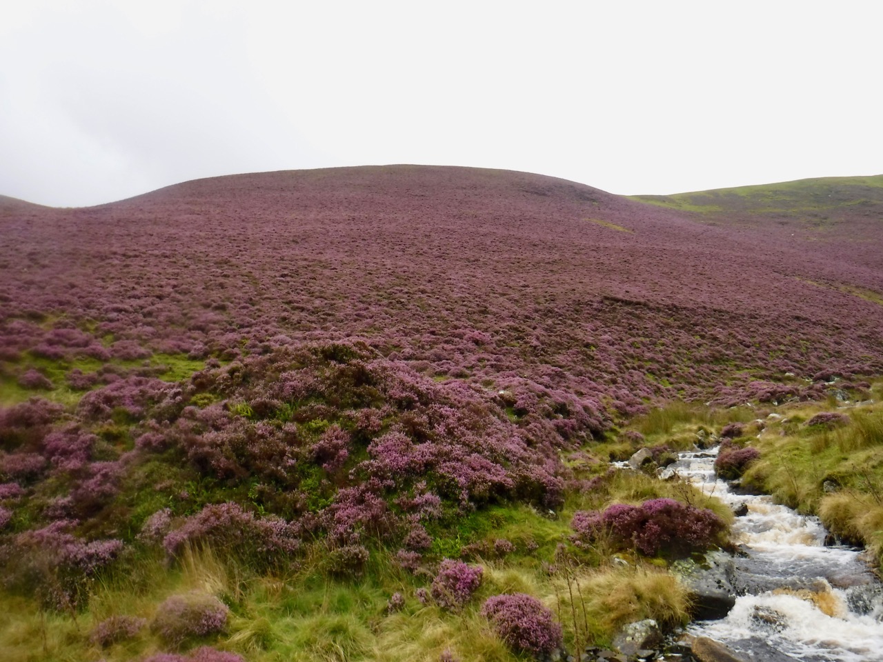
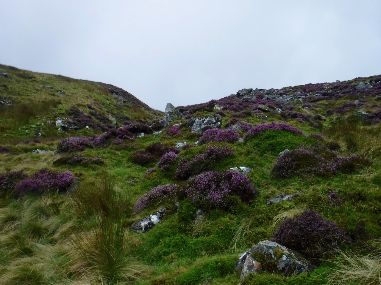
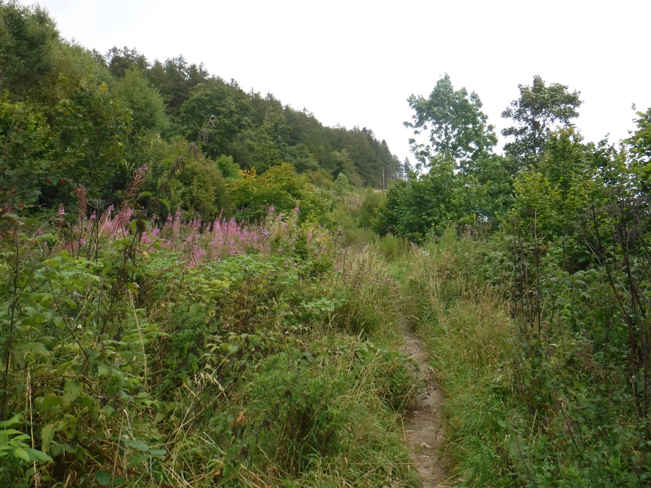
Purple hills
When we had walked a couple of weeks earlier, the scattered bell heather was in flower but the ling was yet to bloom. The bell heather’s flowers were now brown but purple ling covered the hills.
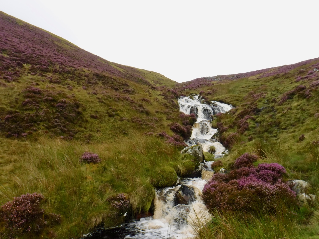
Grainsgill waterfalls
We had to leave the path a few times to avoid boggy sections and any more rain would probably have submerged some of the route. At least the rain made the most of the beck’s waterfalls. Because of the rain I didn’t have the map in my hand and my memory was playing tricks with me such that I thought the steepest climb was to be after we left the Grainsgill Beck to head up to the Lingy Hut.
Col below Great Lingy Hill
So I was both concerned and relieved when we turned away from the beck following a track eroded by the passage of many boots. I was relieved that this section was not steep but concerned that we were in the wrong place. We had not passed any other paths going off to our right, but it wouldn’t be the first time we had passed by a minor track.
The map was consulted enabling me to accept relief that the steep section was behind us and dispel the concern that we were off-piste. A little further along and the Lingy Hut came into view. The rain had eased to sporadic drops by now but the wind was pretty strong, so we had our coffee break in the hut.
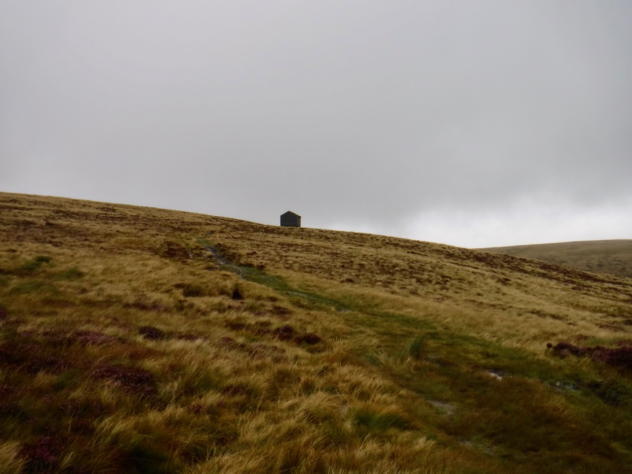
Lingy Hut
The Great Lingy Hut, to give it its Sunday name, sits at about 600m. It was once a shooting box but is now a maintained bothy. There is only a small window, and since the day was rather dreich it didn’t really admit enough light so we left the door open, the door being on the lee-side of the hut. This let us refuel while giving us a chance to dry out a little. Some runners and walkers passed as we sat there. None of my photos near the hut came out.
High Pike from Hare Stones
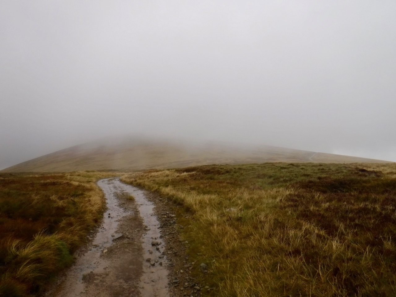
I wondered if I would be able to manage without waterproof trousers, but decided to stay in wet weather gear. Within a few minutes it was clear that had been the right decision. The path became more defined as we walked across the high moorland of Hare Stones. By now the visibility had become quite limited making it difficult to know when we were near High Pike and as ever when it is misty, distances and heights were easy to misinterpret.
Some walkers were taking a faint path up a slope. we thought that perhaps the path up High Pike would have some kind of Cumbria Way marker. More map consultation. We retraced our steps a little and headed up the slope presuming it to be High Pike.
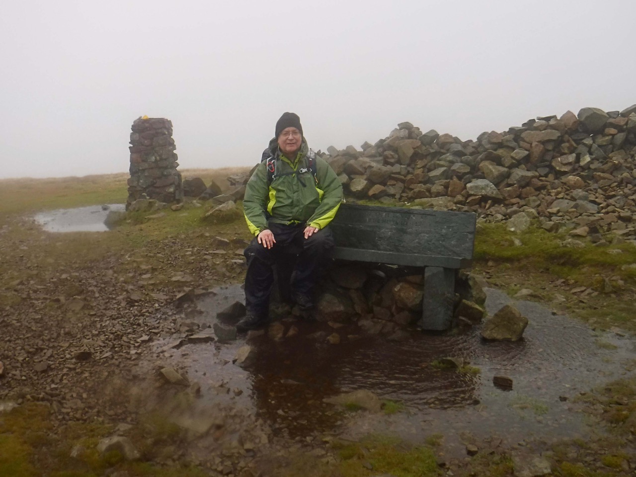
High Pike
I knew that High Pike has a stone bench at the summit, and as we climbed a cairn came into view, but no bench. Then I saw it and knew we had taken the right path.
The slate bench is inscribed “He is a portion of that loveliness that once he made more lovely” taken from Adonais: An Elegy on the Death of John Keats written by Shelley in 1821. I recall reading somewhere that the slate bench replaced an earlier wooden one. A smaller inset “In memory of Mick Lewis who loved all these fells” refers to a young man who died on the fell in 1944 aged 16 and another inset refers to his mother who died in 1970. I’m afraid my photos of the insets, being taken in driving rain aren’t legible so I do not have the exact words of the latter.
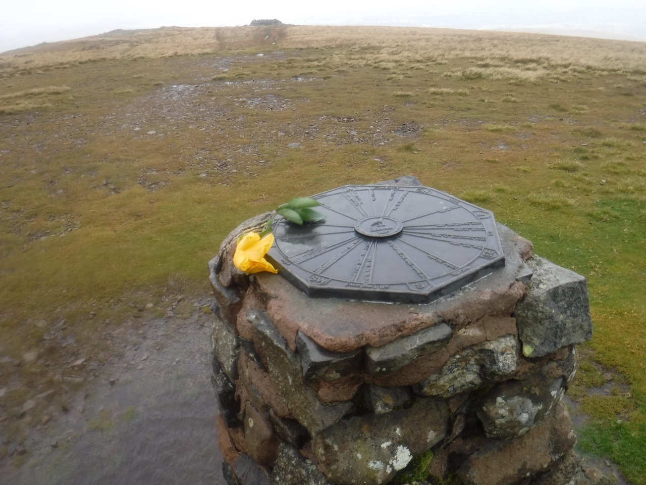
Trig Pillar
The hill’s trig pillar is topped with a plaque showing the direct and distances to neighbouring fells and is inscribed, “To Celebrate Caldbeck Parish’s Millennium Celebrations”.
A circular area of shorter grass and a small pile of stones looked like the site of a previous fire and my reading tells me that fires are lit there on occasion.
I made use of the stone shelter a little way beyond the summit cairn to briefly to consult the map somewhere it would not be torn from my grasp by the wind. Unfortunately I had to share the shelter with a stand of nettles, but they didn’t get me.
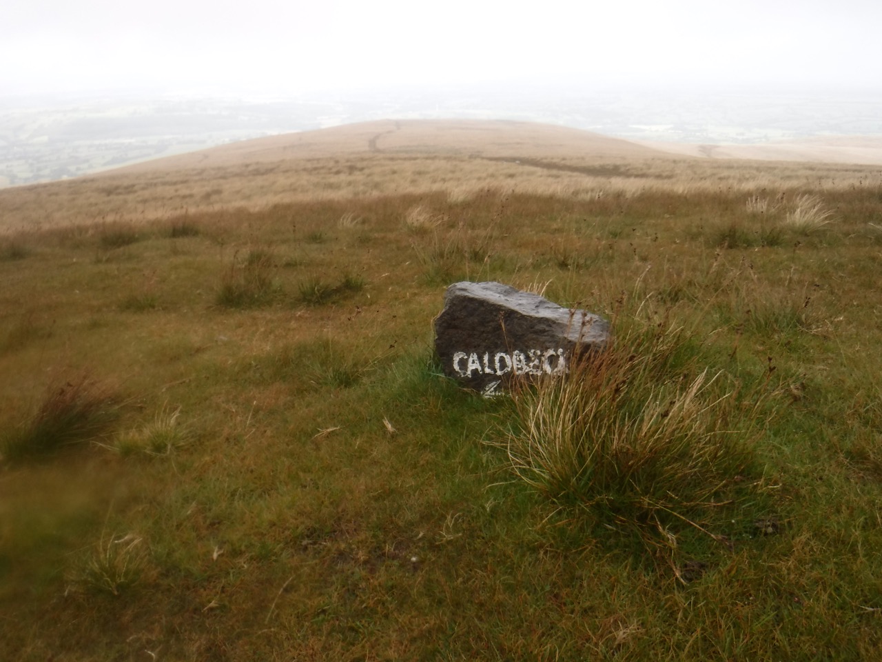
The lying stone
The Harvey’s Cumbria Way map shows two paths descending to the north and we were to take the left hand track. There was also a stone, indicating the left hand route, with “Caldbeck” painted on it. The left hand track, the smaller, was the one we took, and we were reassured that as we descended out of the mist we were heading towards the Caldbeck transmitter aerial.
But as we continued it became obvious that the track led up towards the low rise of Deer hills whereas we were expecting to walk a little more east of north and pass to the right of a gully with old mineworks dotted about. Another faint path crossed our route and that took us where we needed to be. In fact the OS map’s Cumbria Way route shows it joining the crossing path as we did. Actually the direction to walk is towards the village of Caldbeck rather than the Transmitter Aerial.

Pink sheep
So we walked past long disused mining, followed the track around a dog leg and onto a farm track, leaving the fells behind us. a flock of pink sheep stood by the road but had scarpered before I could wipe the water from the camera’s lens. The route took us through the farmyard of Nether Row and along a (very) minor road for a kilometre or so to Townhead. Here the CW passes into a field (at some point I will have to rant that every time I type “field” it autocorrects to “filed” !!!).
There should be a name for ground covered in grass but churned by cattle. “Ploughed” almost has it but ploughed fields have a degree of regularity. Perhaps “vacciformed” would do? Anyway we made our way across the vacciformed field, until crossing a tiny stone footbridge and into Caldbeck.
Vacciformed field
Lunch was taken sitting on a wooden bench outside the Oddfellows Arms. A lull in the rain allowed us to take off our wet jackets, waterproof trousers and damp fleeces. The breeze dried them, a little, and cooled us down. The house opposite us had “IT.ET.1666” inscribed on the lintel above the door, which has left me wondering what the letters mean. Audrey wondered if the “IT” was the end of a word, the beginning having been lost, whereas my money is on an abbreviation since “something” “and 1666” doesn’t seem to make sense. For once Google isn’t illuminating.
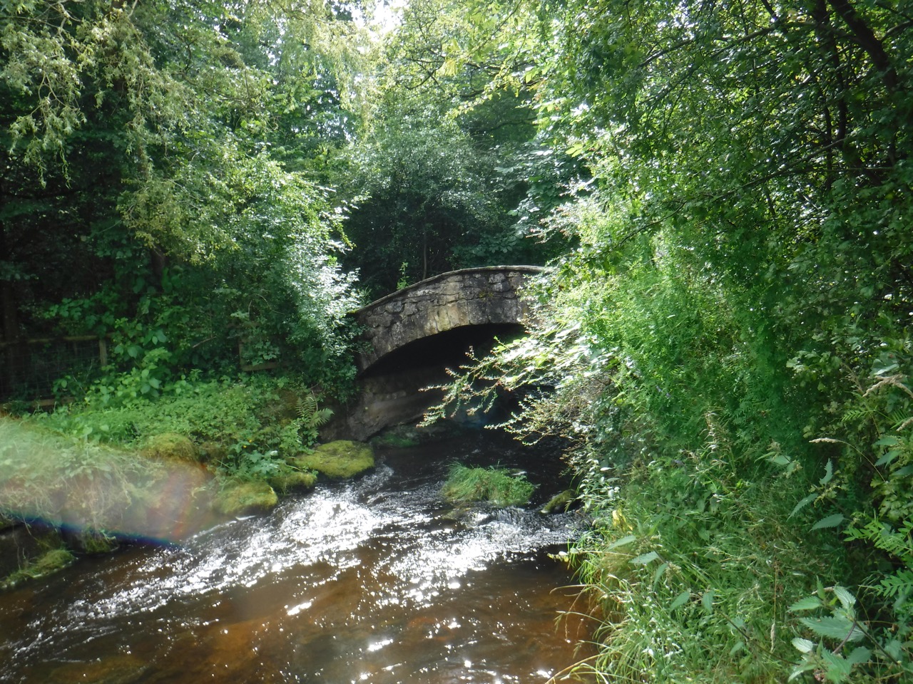
The wee bridge
Well I made myself comfortable, ate a nice sandwich, but then spoiled it with a horrible plum. I was in eating lunch autopilot, not looking at my food, and after biting into the plum I tasted its nastiness. Looking down at the remaining plum in my hand I saw the mould growing on it. Luckily I did have some other coffee left to hide the taste.
Caldbeck marked our exit from the Lake District National Park. And also the end of the heavier rain, so we were able to pack the waterproof trousers away. The village has a petrol station that looks like something out of the 1960s with a petrol pump outside a shop that must have predated the sale of petrol by decades. Ahead us us was a gentle stroll along the banks of the Cald Beck back to the car at Sebergham, of so I thought.
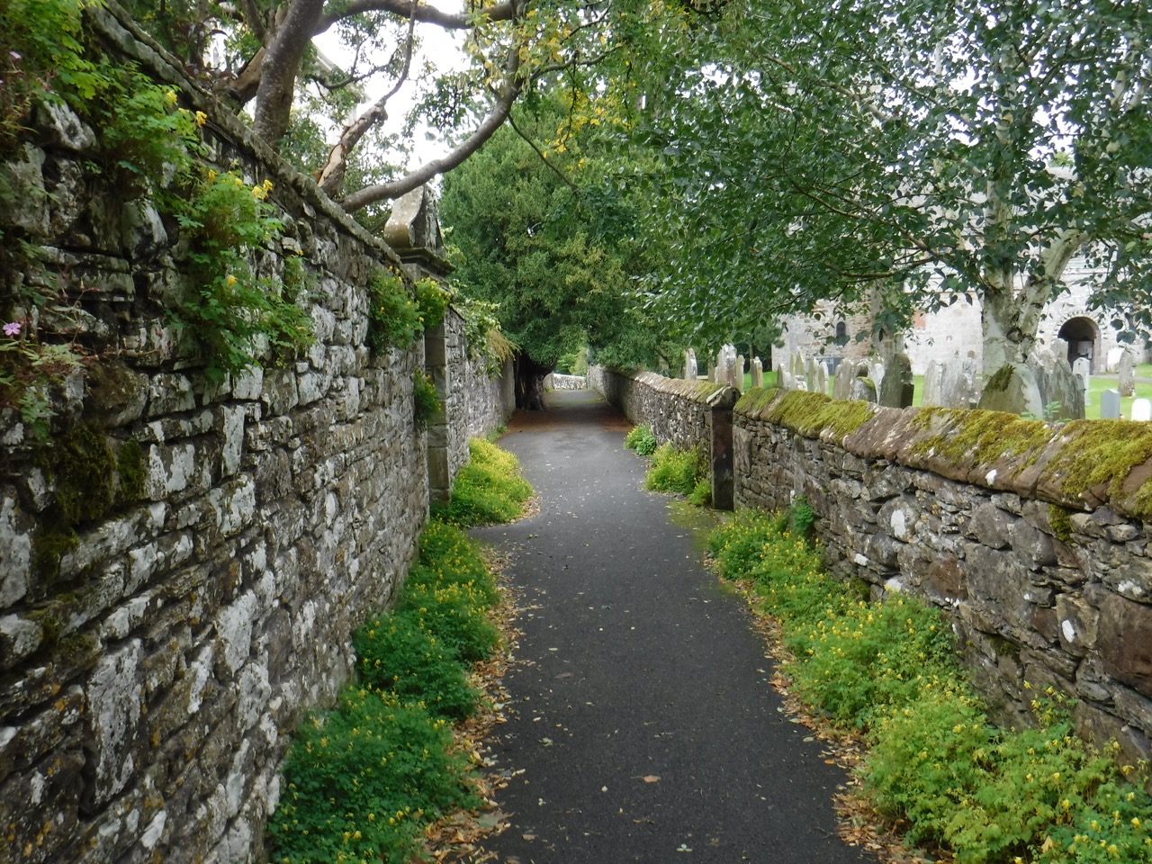
By the church
We walked by a church with a very impressive rectory. Presumably the living there only went to those in the Bishop’s good books. after that we walked into countryside again, passing across an open area beside a water treatment plant and then into Parson’s Park. This was not the riverside stroll I had expected. The northern bank of the river is high and steep so we were walking up and down the slope, more up by the feel of it, and the ground was very muddy in places. We did have some good views back to the northern fells though.
Parson’s park
Oakbank Wood is misrepresenting itself since there we only say a couple of oaks, and both those saplings. By this time I was overheating so stopped to take off some layers. there were plenty of nettles about so I was careful, but not careful enough. So spent the next mile or so picking dock leaves. Placebo is powerful medicine. There had been some felling near Denton woods so what would have been a track was now a quagmire to be picked across with care. This should have been the end of our walk but several minor issues conspired to extend the walk. Where do I begin?
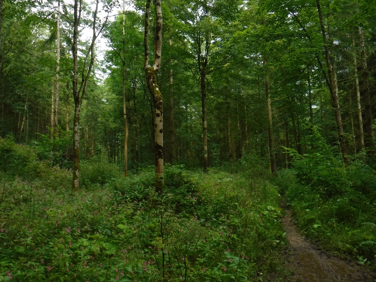
No oaks
The Cumbria Way map is convenient in that it has the whole walk on on sheet, whereas the OS would be five sheets. But as we had found, and were to find, it has some errors. In particular “Sebergham”, our destination for this walk, is marked as Browtop, and the place marked as Sebergham on the map is in fact Churchtown. This wouldn’t have been such a problem except we had left the car at Sebegham, and Sebergham was fixed in my mind as our target. Here comes fate. The folding of the map required for this section meant that the final half mile was over the page, easily seen by turning the map over, but not constantly visible. Otherwise I might have realised that we had parked by a river, the Caldew, and the place marked as Sebergham did not have a river running through it. When we arrived in the actual Sebergham, I thought we were in Browtop. Had we looked to our left as we arrived we would have seen the car but at that moment the rain returned with a vengeance, we stopped to get our jackets back on, and kept our heads turned down from the rain.
So we crossed the road, found the path and climbed, yet again, through water laden undergrowth and up to a farm track, thinking “almost there”. We reached St mary’s Church, Sebergham and breathed a sigh of relief. Now to get our wet jackets off and into the warm dry car.
But the place we were in looked nothing like the place we had left the car. No river, no B-road. I began to wonder where we had actually left the car it certainly wasn’t where we now were. Ahead of us, up more of a slope was a road, so we headed up there and in the shelter of a bus stop consulted the OS map. All became clear.
So we headed back along the road for the real Sebergham. Perhaps my mind was playing tricks but I might have heard a dagger being unsheathed behind me and a Cumbrian curse being cast. I quickened my pace, wondering what the hell we were going to do if the car wasn’t in this Sebergham.
The car was there, beside a sign marked “Sebergham”.
[osmap gpx=”http://www.screel.co.uk/walks/wp-content/uploads/2017/08/RK_gpx-_2017-08-19_1004.gpx”]
