
17 miles 560m ascent 8h 31m
 Cumbria Way: Ulverston-Coniston
This was our first section of the Cumbria Way, from Ulverston to Coniston.
We drove to Coniston, parked the car near the Crown Inn, and caught the X12 bus to Ulvertson, but that doesn’t quite capture the experience. I had set off without my spare (dry) clothes and, given the heavy rain, thought it would be tempting fate to go without a change of clothes. I hoped the brief detour back home would ensure, by a reversed Sod’s Law, that they were not needed.
Once at Coniston, in plenty of time, we kitted up ready for the walk, in light drizzle, with time to spare to make use of the facilities. Luckily I had some 20 pence pieces. A sign explained that by spending a penny I was ensuring that the public toilets remained open. So I felt both public spirited and relieved after spending a penny (attached to 19 other pennies). We then sheltered in a bus-stop provided, as a sign informed us, by the Coniston and Torver District Nursing Association in 1959.
The bus arrived in plenty of time, but it transpired that the driver had cut his hand. A passenger, who he clearly knew, did her best to patch him up using the bus’s first aid box but this clearly wasn’t satisfactory so she announced that she would go home and get some better dressings. Time passed and with the other passengers we boarded the bus. More time passed, the driver finished his snack, then settled into his seat, closed the doors and set off.
It occurred to me that the good Samaritan had not yet returned to the bus with her medical supplies. She had been left behind. Should I remind him? But before I could decide we stopped beside some houses and she rejoined us, with her bandages. The driver was soon patched up and the bus carried on, with some nifty driving as the bus-driver managed to squeeze us by a coach on a very narrow road.
Once in Ulverston, we made our way to the start of the Cumbria Way, which is marked with a sculpture containing a cairn of rocks from different parts of the Way.
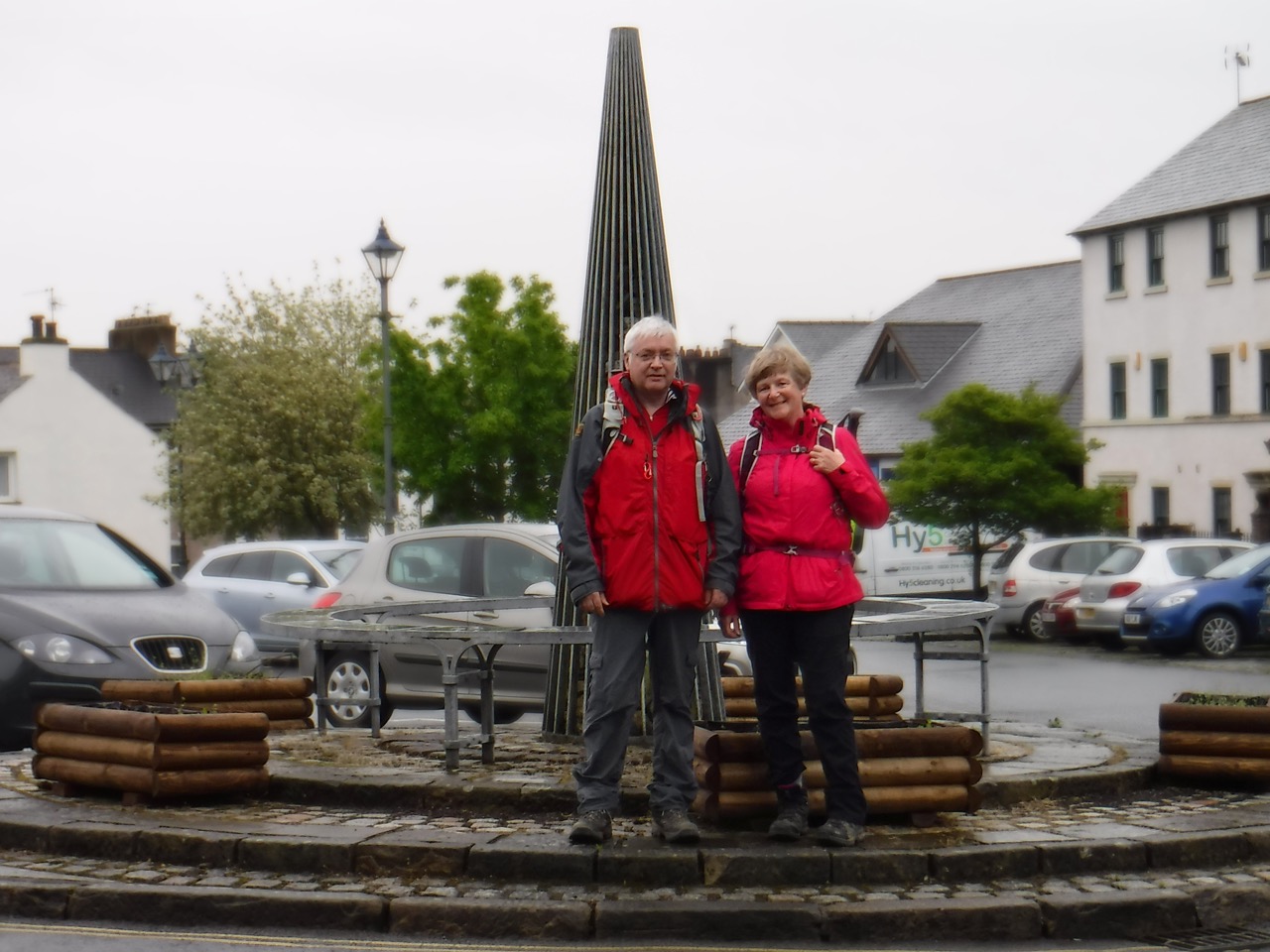
By the time we started, the rain had decided to turn it down a notch such that waterproof trousers were deemed unnecessary. We posed for our “Start of the Walk” photos then took our first step of the 39,083 of the day.
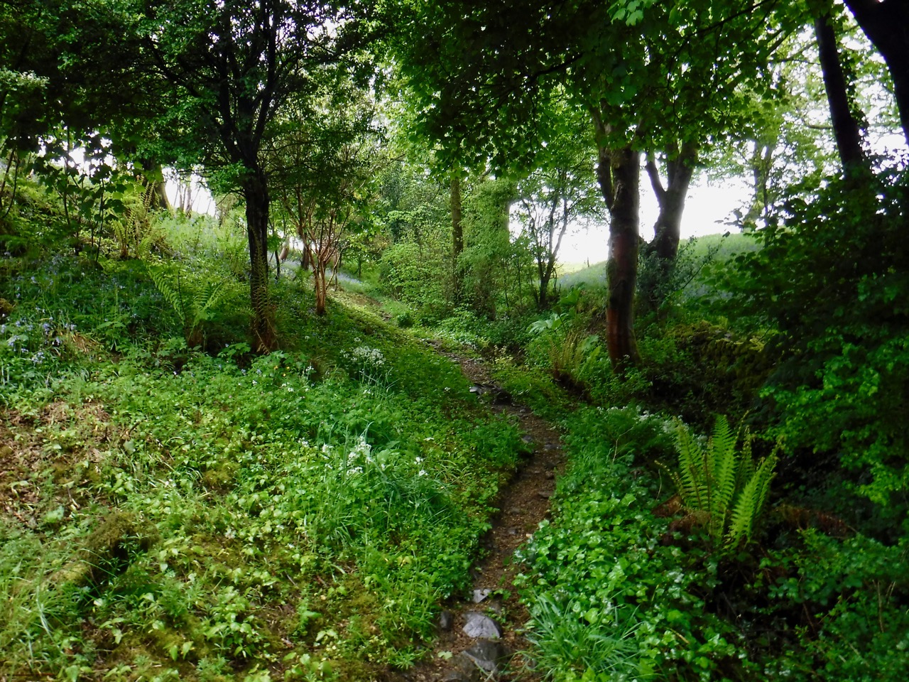
And the walk started as it meant to go on. We found ourselves faced with a fork in the path and no pointers. The CW it tuns out is the left fork, which follows a small stream beneath mature broadleaved trees and hedgerows and walls dotted with wildflowers. A short footbridge then lead us to a narrow rocky path between two stone walls and this was just steep enough to quickly blow off any remaining chill in our muscles.
The path ended and we passed through a gate and on to a minor road. My attention was caught by a bench dedicated to “Happy Wilkinson 1926-1996”, and my cynicism led me to look closely and see if those really were Ps rather than adulterated Rs…they were Ps. After a few more paces I was glancing at the map and noticed that the CW route appeared to just touch this road then head off across farmland. We backtracked and found a gap built into the wall allowing us to climb into the field.
Farmland above Ulverston
This was to be the first of many such slim gaps built into walls that we would encounter. I haven’t quite got the technique of shuffling through these but doubtless that skill will come.
The day was warm, and with walking I soon transitioned from comfortably warm to too hot, but the rain itself had stopped so I was able to stow my coat without getting my upper body wet. The grass we were walking through though was very wet and long enough to soak my trousers up to the knees.
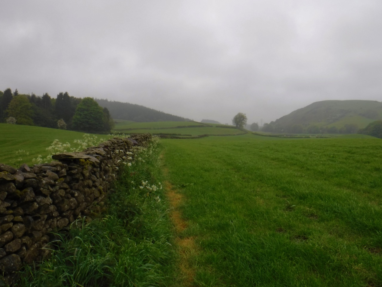
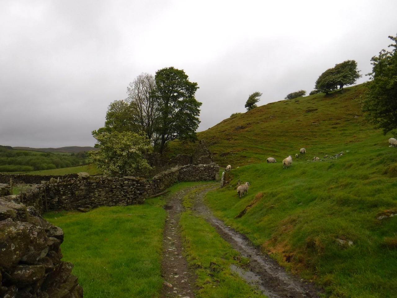
In my mind I had broken this section into 3 slightly unequal parts, Ulverston to Gawthwaite, Gawthwaite to Beacon Tarn and Beacon Tarn to Coniston. The first part took in farmland, moorland, woodland, minor roads and farm tracks, farmyards, old churches (such as St John’s of Osmotherley) and small villages. We headed from farm to farm, confirming our position by finding the correctly named farms on our way.
Near Old Hall Farm
Route finding was not without problems, however. We soon realised that the CW plaques were identical to those for other public footpaths except that the words “Cumbria Way” were written within the small direction arrow. Since many of the signs were weathered this led to some confusion. Was this weathered way marker a CW waymarker with the “Cumbria Way” words eroded, or did it point along some other footpath? Later we were able to factor this into our decisions.
I should perhaps digress a little here to reflect upon the usefulness of particular objects. Both Audrey and I have the Cicero Cumbria Way book. Identical, I would have said, but now experience has brought wisdom and I know better. It is not the object per se that is useful, but the object and its context. My book was resting, dry and safe on a bookcase a hundred miles away, while Audrey’s copy was in her rucksack.
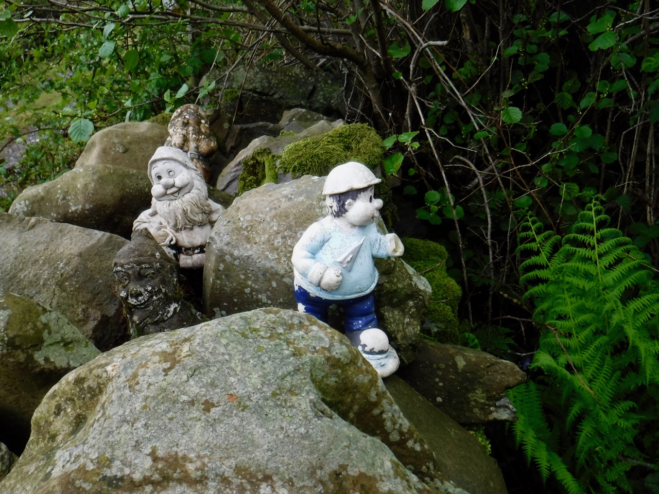
Wee fellows who cast some spell to confuse us near Broughton Beck
We found ourselves referring to the book on a few occasions, usually in retrospect. Broughton Beck to Knapperthaw saw us stray from the route. Just past the village we came to a farm, and three choices of route, two had official footpath signs, one marked “Cumbria Way”. There was also the farm track itself, with a gate fastened shut and an unofficial (hand-painted) Cumbria Way sign. I suspect this unofficial sign is the correct one. We followed the direction indicated by the official sign, and followed weathered signs. This took us to a minor road at Nettleslack, perhaps 300m east of where the route would have joined.
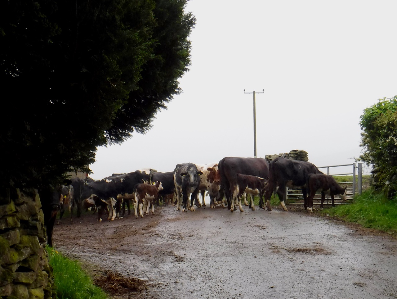
Our way barred at Nettleslack
This wouldn’t have been too much of a problem except that there was a herd of cows with their calves walking up the lane towards us. I would have no problem walking through sheep, but cows with calves are another matter. We waited, and waited, and waited some more, but more cows were joining the group.
Eventually we decided to backtrack a few metres, get into the field on our right and bypass the herd. Unfortunately, though we could get past the cows, there was no exit from the field beyond them without climbing the wall. I was ready to suggest scaling the wall but by then the cows had passed the gate so we walked back, rejoined the road at the gate in the photo, and were on our way to Knapperthaw again.

Tired horse near Knapperthaw
Keldray Farm was the next challenge. We walked on to find our way barred by a rather unwelcoming iron gate. Heading back along the path Audrey spotted a track, much overgrown, and we followed that, finding for once a way marker confirming we were on the CW route.
We could soon hear then see cars on the B5281 which told us we were approaching Gawthwaite. This was our planned spot for a lunch break, and as we arrived so too did our friend the rain, but a lunch stop was a necessity and we made the best of it. I had hoped for a bench, warm sunshine and a lovely view, but we sat on a low wall beside a stream, visibility was poor, and it was a bit on the chilly side. But I was at least partly rejuvenated by the sandwich, pork pie, coffee and the jelly babies, washed down with coffee.
Beyond Gawthwaite we were in the Lake District National Park, and the walk to Beacon Tarn would take us past the 10 mile point, a rather arbitrary but nonetheless important achievement. The farms now looked more like hill farms and more time was spent walking in wilder moorland. We had fewer route problems on this section. Again we were walking in farmland or on minor roads but with an increasing amount of moorland.
Hillfarm near Kiln Bank
Though we hadn’t climbed much above 200m the ascent from Cockenskell to Beacon Tarn sapped our energy and I was looking forward to our next refuelling stop. Beacon Tarn was Beacon Tarn, what more can I say. Perhaps on another day with the sun glinting on the water I might have stopped to enjoy the place, but trudging over waterlogged ground picking a way around standing water, and seeing nowhere to stop and sit just drove me to walk on. That said there was some colour hiding in the brown and green, lousewort (pink) and milkwort (blue) scattered among the grass and moss.
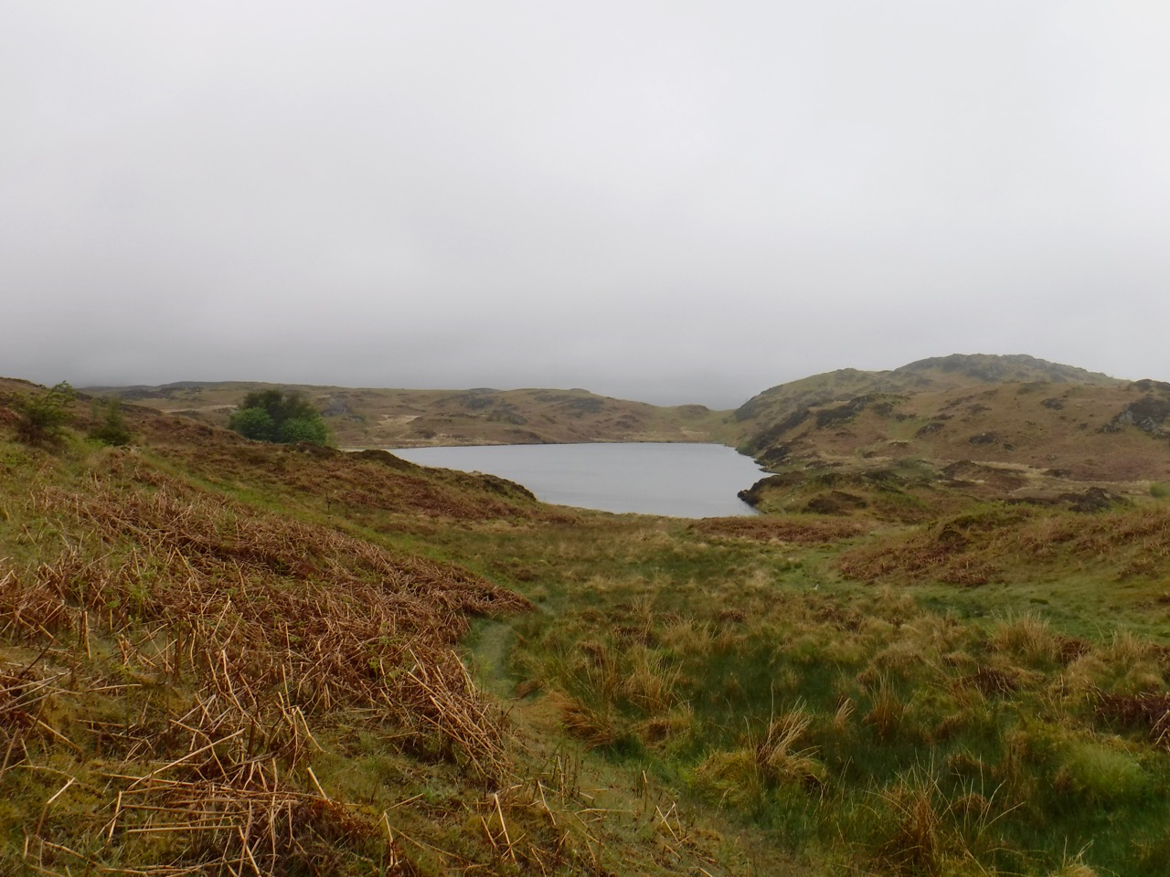
Beacon Tarn
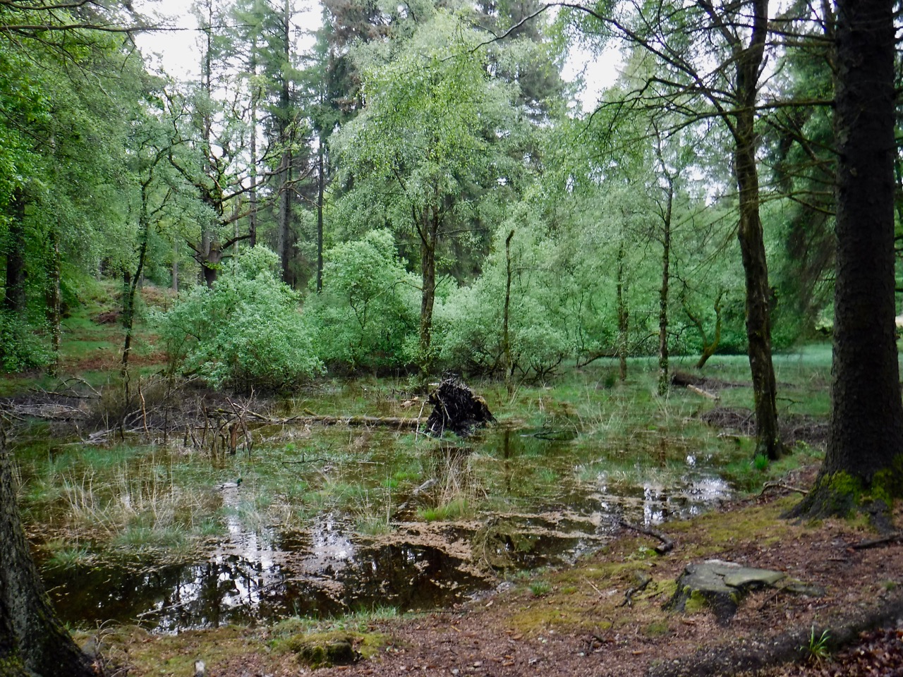
After leaving Beacon Tarn we entered another hollow with a small unnamed tarn surrounded by a larger area of marshland. The track here was uneven, rocky and in places waterlogged so we had to range away from the path at times. This higher ground then opened out giving us a view to the north. I am sure that in better weather we would have been able to see the Old Man of Coniston, but not today. Beneath us was Stable Harvey Moss (we were roughly two thirds of the day’s walk).

Stable Harvey Moss, Coniston Fells in the distance
The footpath skirts the edge of the marshland and stays high enough to be dry most of the time. By now we were ready for our next stop and looking out for likely seats. If we found none I thought we would stop on the firmer ground of a track just past Black Beck. Unfortunately Black Beck was a stream to be forded, and with the recent rain the ford was wide and deep. This meant a bit of a detour to find a section that could be jumped.
Just before the aforementioned track we found some rocks large enough to sit on and close enough that we could still see each other without binoculars. By now it was becoming colder so we we didn’t tarry long, and despite the snack I have to admit that my morale was flagging.
We trudged on again, and looking at the lousewort and milkwort I had also noticed some tiny white flowers. I wondered aloud if they might be albino milkwort (if it exists) and Audrey suggested I have a look at its leaves. I did and … Wow! It was Bog Rosemary, the county flower of Kirkcudbrightshire. I had been on the look out for this wee flower for some time, and here it was. My flagging morale soared.
So I took the flooded Mere Beck in my stride, climbing a small tree to get across. I did begin to have some misgivings, though, when I saw Torver Beck ahead of me, its white water cascading over rocks. The misgiving grew as I drew closer, but then I saw Audrey, taking photos of the river, from the footbridge.
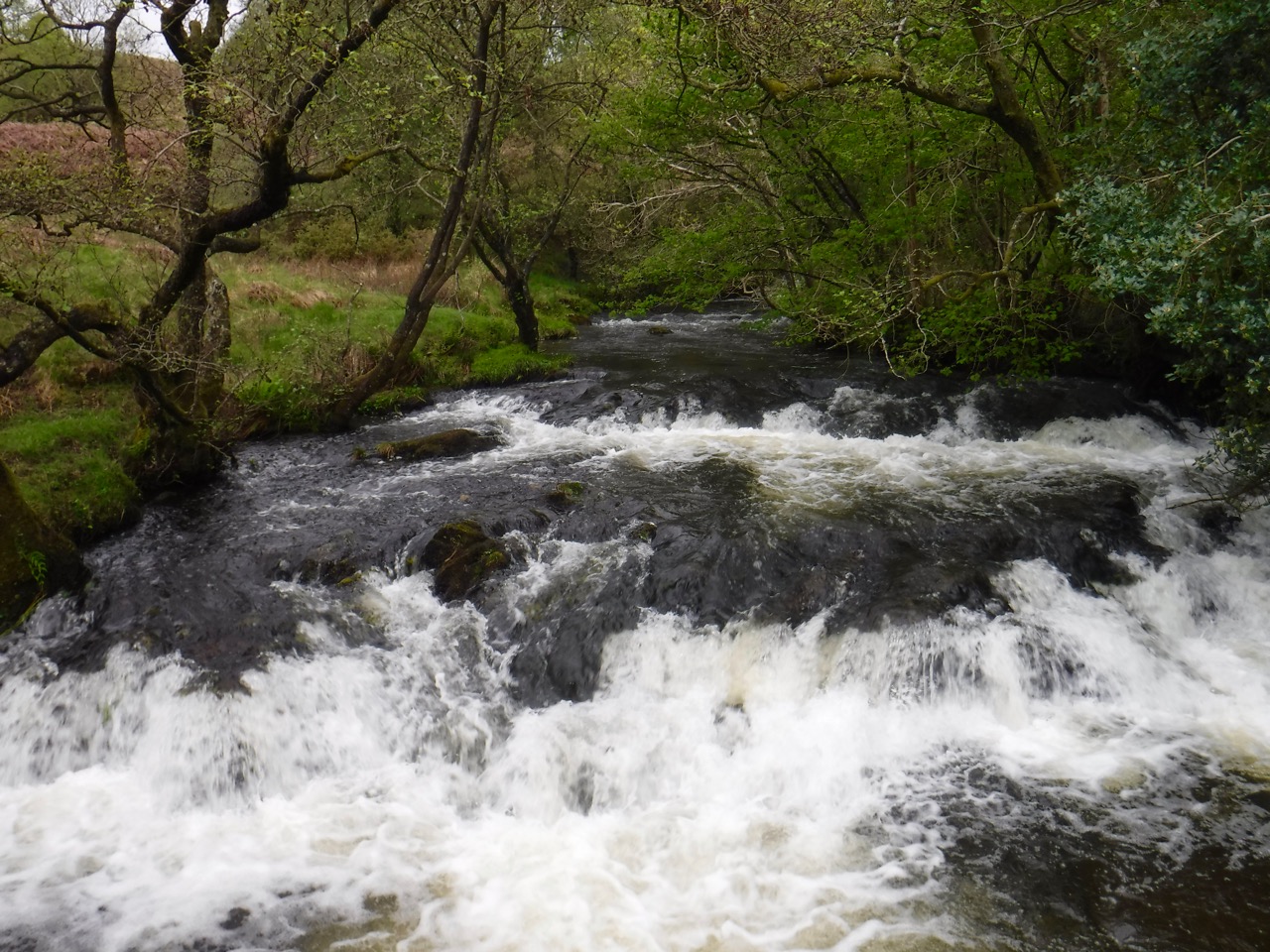
Torver Beck
As we crossed the A5084, tired as our legs were, I felt the end was in sight (figuratively), with just 3 miles to go. As it would turn out, it was four miles to go, and felt like five.
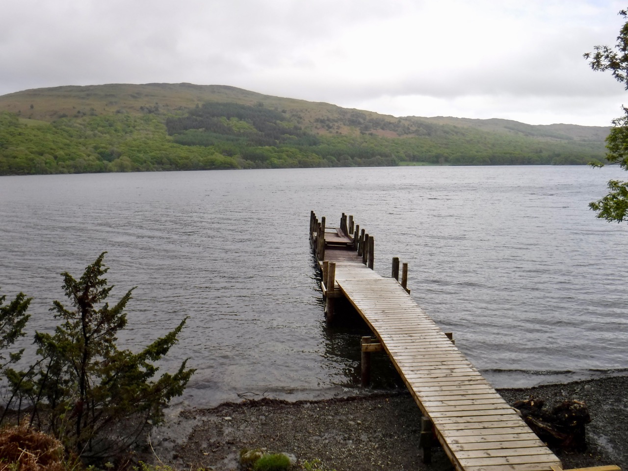
Coniston Water
These final four miles along the banks of Coniston Water, could have been quite enjoyable, the sun was shining, the path being beside the lake there little in the way of climbing, we walked through beautiful woodland casting dappled light on wildflowers, and when the woodland ended we walked through park type farmland with sheep grazing and their lambs gambolling about.
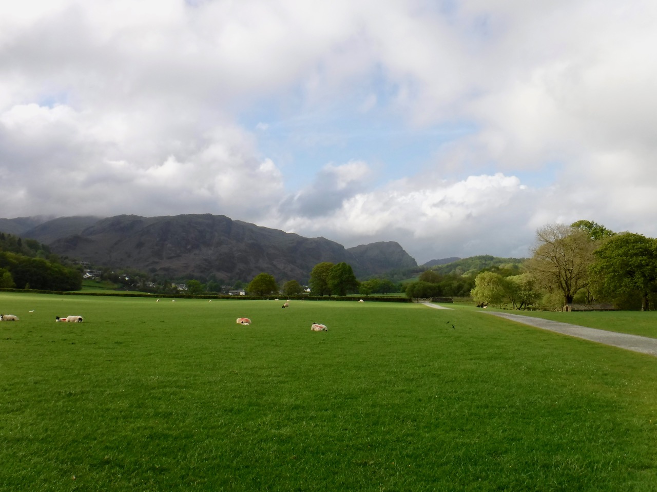
But we were tired, the path was uneven and covered with slippery tree roots, and there was no easy way to know how far we had walked. We were really only certain that we were close to the end when we could see Coniston and the fells beyond it. The old Man of Coniston, though, remained in cloud.
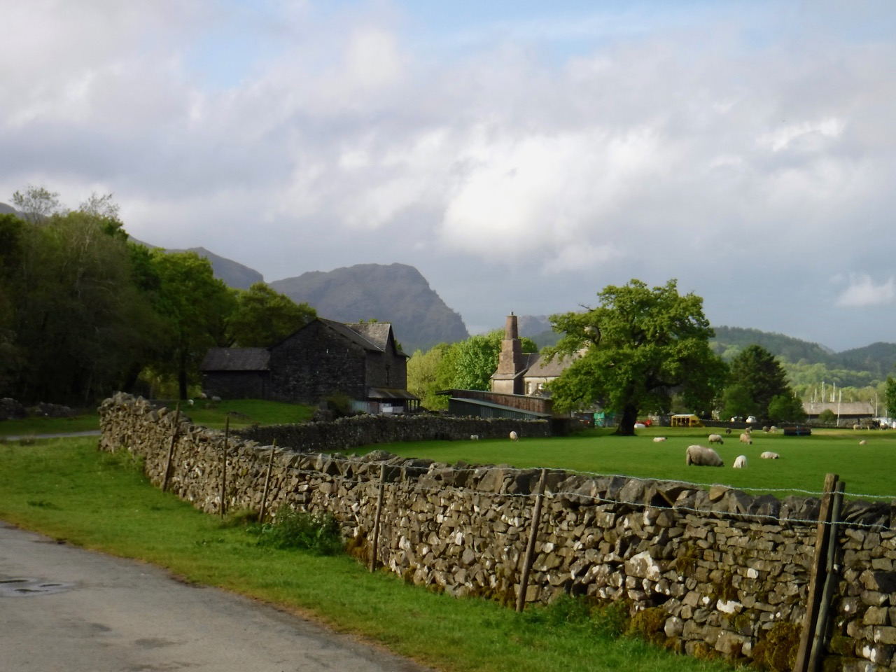
Approaching Coniston
The building you can see in the photograph above is the 16th century Coniston Old Hall and we found its chimneys drew our eyes. They looked rather industrial and suggested to me that it had once been an industrial rather than residential building, but as far as I can find out it has always been residential (but now owned by the National Trust) and just has huge chimneys. They are referred to as “traditional chimneys” on some websites.
At Coniston Hall we were just over a mile from the car and at least we were walking in sunshine.
Walking into Coniston
Download file for GPS
