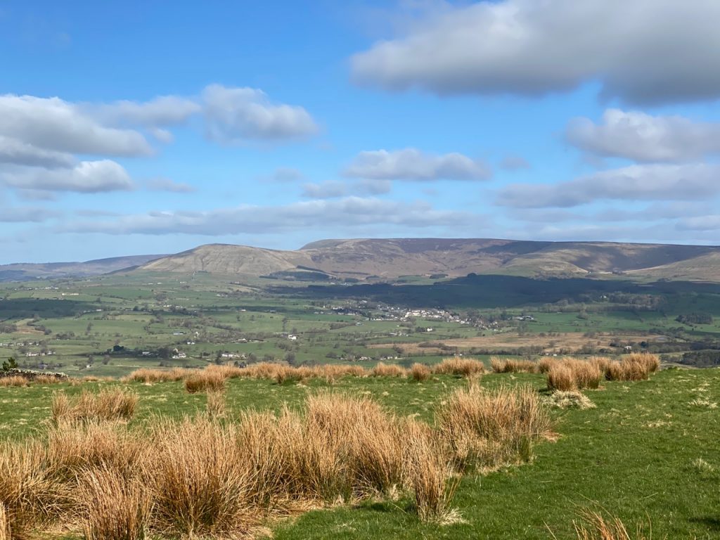
8.88 miles 4h 28m ascent 217m Mossdale to Merrick (part 4)
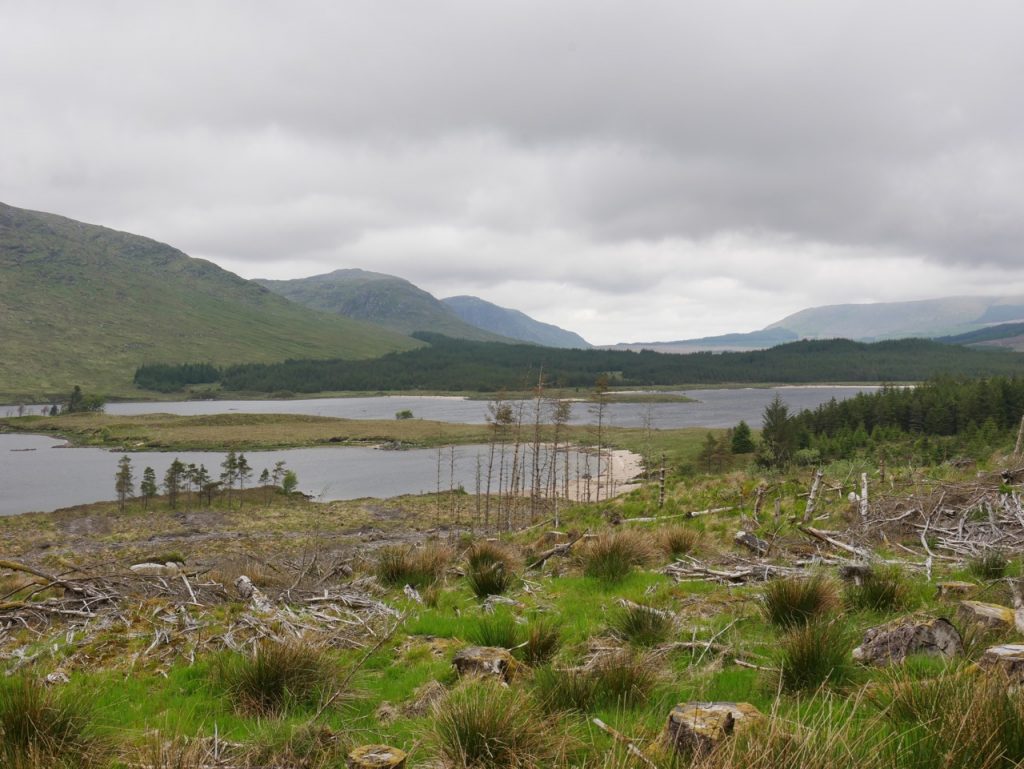
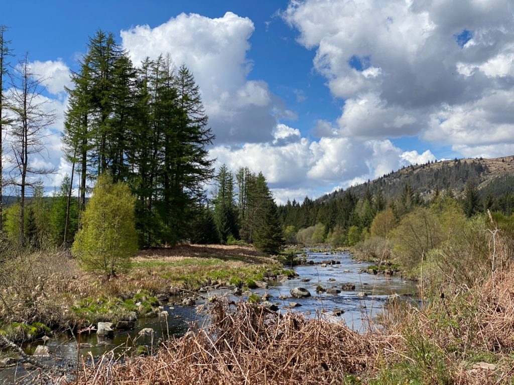
Loch Dee looking north
Craigencallie to the Axe Head Stane
Part 5 of our Raiders outings took us from Craigencallie to the Axe Head Stane (and back). Had car sharing been allowed this section might have taken us to Loch Trool. But there is something about retracing ones steps. Things do not look quite the same and I noticed things returning along the same route that I had missed on the way out, such a the big gate only noticed when walking back. So unexpected was the gate that I checked it hadn’t been installed while we were walking.
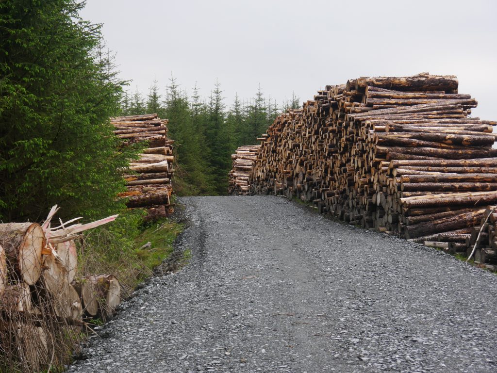
midges, milkwort, scent of pine, the ford, red pine, forestry in all stages, deep sphagnum, bluebells in the open, trees standing, felled, fallen, fallen and cut, eared? willow aplenty, rain but warm, sound of the otter pool, goat bought rig, no sight of orchars, wondering what pullaugh means, the dam, galloway bamboo, the search for seats.
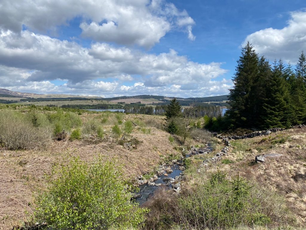
The Raiders Road runs beside the Black Water of Dee, but across the valley on the opposite side of the river there is another route, a forestry track. Like the Raiders Road it begins close to the bridge on the Queens Way and rejoins the Raiders Road at the Gairloch Ford.
10.67 miles 5h 5mins ascent 243m Mossdale to Merrick (part 3)
Darnaw Burn
In the footsteps of Crockett’s Raiders, from the Raiders Road to Craigencallie, Spring’s sunshine practising for Summer, the heather and bracken a little tardy, and the dogs keen for an outing.
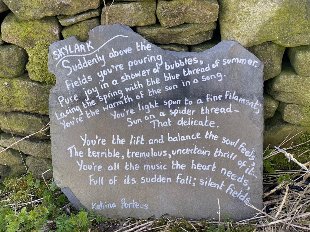
A cuckoo Carpets of wood anemone Half way stone Unmarked road Kerplunk in pool Darnaw monument Craigencallie No seats. scent of mint. why a dam?
11.4 miles 5h 9m ascent 221m Mossdale to Merrick (part 1)
Mossdale to the Otterpool by the old railway to Stroan loch then the Raiders Road
In Samuel Crockett’s book The Raiders his hero tracks a band of reivers and cattle rustlers who have made off not only with stolen cattle but also one of the local girls. His adventure takes him from Rathan Island (Heston Island) into the lawless Galloway Hills, where “never an exciseman put his nose, except with a force of red soldiers at his tail, which did not happen once in twenty years.” Smuggling was common in the 18th and early 19th centuries with brandy, silks and lace landed on the Galloway coast and carried inland by bands as large as 200 men. The raiders in the book took the highway north through Laurieston, crossed the Dee at the Brig of Black Water, and took a drover’s road to Clatteringshaws. This drove route is now the Raiders Road Forest Drive.
Last week we had walked the northern ‘half’ of the Raiders Road. This week’s outing was the southern half. Lockdown had relaxed, from level 3 to level 2, but “You should not share a vehicle with anyone from another household, unless you absolutely have to.” Dangling prepositions aside, that meant circular walks for us.
8.03 miles 4h 1m ascent 293m Mossdale to Merrick (part 2)
Spring. A cuckoo’s call in the calm air and cuckoo flowers in the verge. Sunshine that didn’t call for hats or sunscreen, and warmed but didn’t overwhelm. Coltsfoot and wood sorrel readying to yield to the bluebells and stitchwort. The red flowers of summer yet to bloom.
Lockdown. Car sharing is still banned. The Raider’s Road is closed to cars which seemed an opportunity to walk the route (or part of it) without the hassle of dodging cars.
Christy at the Otter Pool
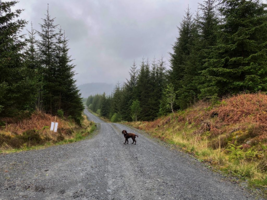
The weather was better than forecast, with sunshine for all but the last five minutes. We parked at the northern end of the Raider’s Road in an almost empty car park and set off to explore the footpath before hitting the road itself. This took us past a shelter in the forest (without any obvious purpose) and down to the river but not back up to the road. Some self seeding here had created a mini-forest of saplings. Mabel looked like a giant.
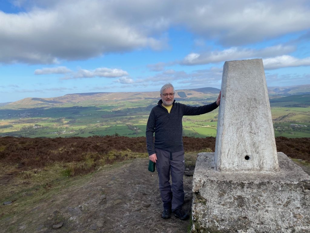
It’s been a while since I stood by a trig pillar. Coronavirus lockdown limitations and a return to work have each played their part. But rules have begun to relax and James offered to walk with me. A wee hill was needed, for me if not him, and I chose one unlikely to tax my wasted muscles or attract too many other walkers. I turned to lists of Marilyns and started at the bottom.
Longridge Fell. Not much dispute about the etymology there but with the added bonus of being England’s southernmost ‘fell’. South of here the fjall are become hyll, despite the Danelaw having extended much further south.
There’s not much to say about the walk. There were several options and we chose the shortest route, which starts at Jeffrey Hill. A well worn track took us over heath to a a low cairn. The OS marks this as a cairn circle but we couldn’t see the circle. I believe the circle is of small cairns which are hidden in the heather. Or perhaps the circle has been gathered together into the one cairn.
The track becomes less obvious at the cairn. An alternative track forked off a couple of hundred metres earlier but I spied it a little further on and we headed straight for it.
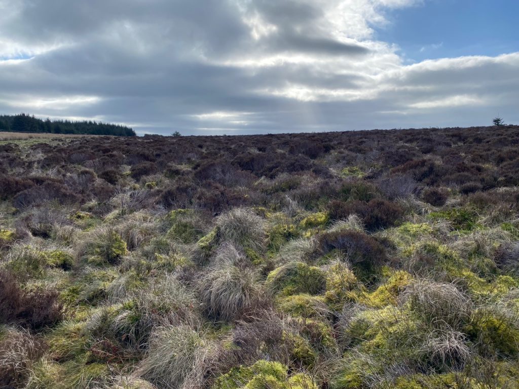
The going was wet. I was wearing non-waterproof walking shoes and soon had wet feet. No reason to avoid the boggy bits after that. Until the boggy bits got deeper. We found that the ‘track’ I had seen was one of those very wet areas where even the heather can’t grow, made of spongy wet sphagnum moss into which one’s feet can sink to mid calf. Which they did.
Plan B. We turned towards the wall to our SE. This was over heather (see picture above) but proved to be just as boggy. Then James spotted some walkers, presumably on the actual path which we headed for. A wee brook/ditch in the bog added a little interest for us.
Once on the track we followed it up to the trig point on Spire Hill. The track follows a wall and there seemed to be a path each side. Which to choose. We went up with the wall on our left, and came down with it on our left. Neither was particularly superior.
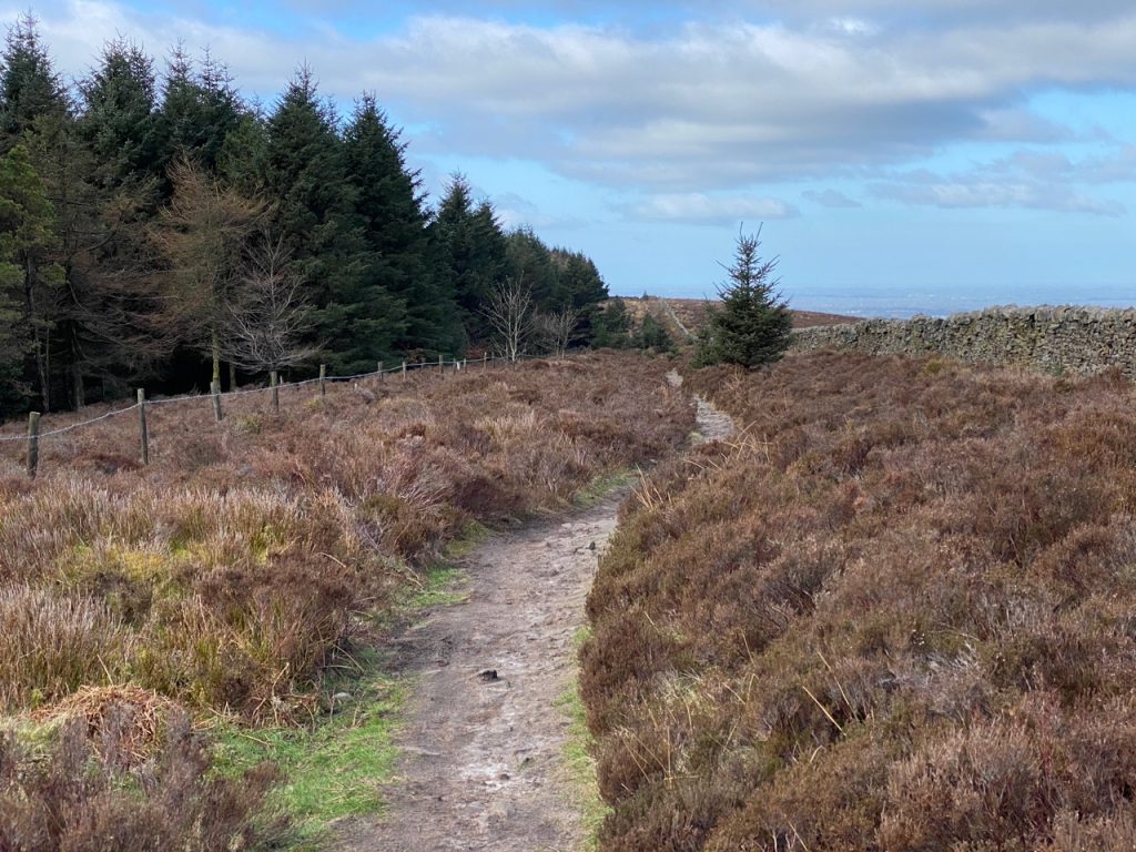
The path down
From the top we could see distant hills which I took to be the lake district but checking the map I think they were the Yorkshire dales. In the valley beneath us sat the village of Chipping (see Chipping – still a fond memory) with Parlick Pike and Wolf Fell rising behind it.
Chipping and Parlick Pike
We tramped back down on the path we might have used had we not gone via the cairn circle.
An easy walk with pleasant views. My first new Marilyn in a good while.
Hadrian’s Coastal trail, which we had walked in 2019, follows the old Cumbria Coastal Way from Ravenglass to Bowness where it meets the Hadrian’s Wall Trail. The Cumbria Coastal is no longer on OS maps, but used to continue up the Eden, to end at Metal Bridge.
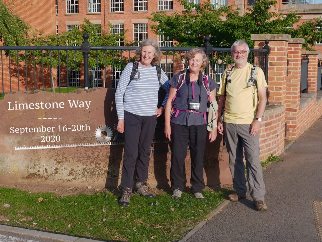
Our final leg of the Limestone Way took us out of Derbyshire’s White Peak and into Staffordshire. From limestone and dale to river and brick. The weather could not have been better, the walk was mostly downhill and we finished with a photo.