9.35 miles 6h 44m 376m ascent
Grangemill to Thorpe
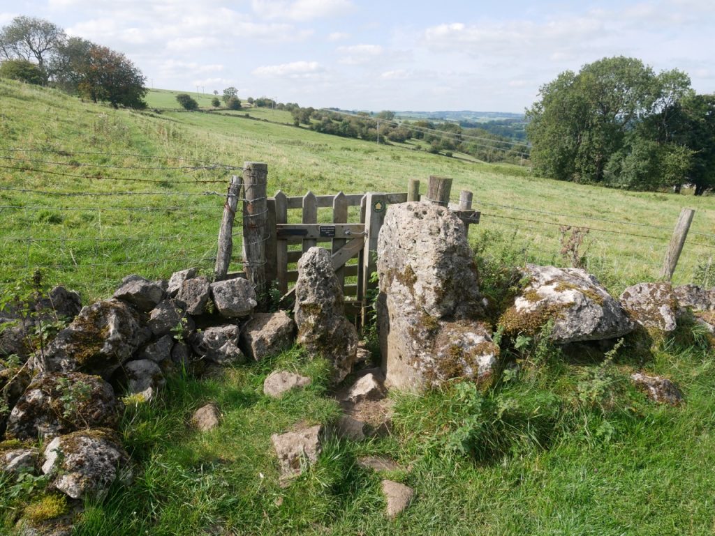
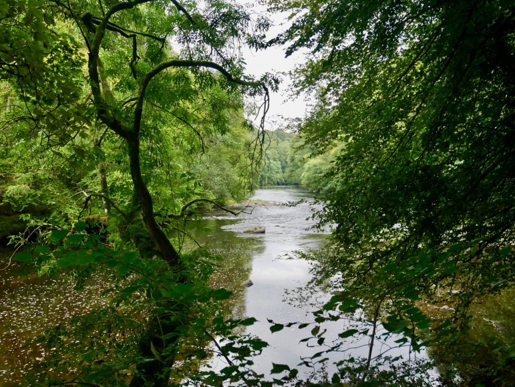
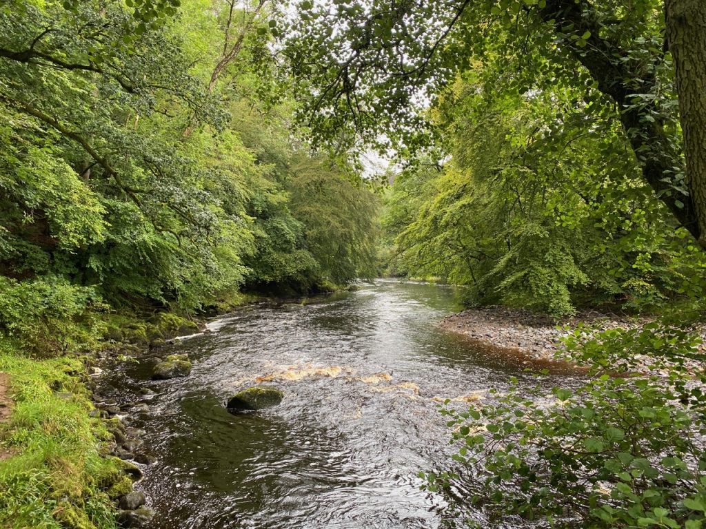
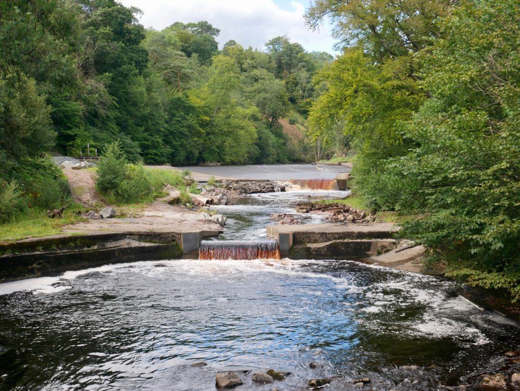
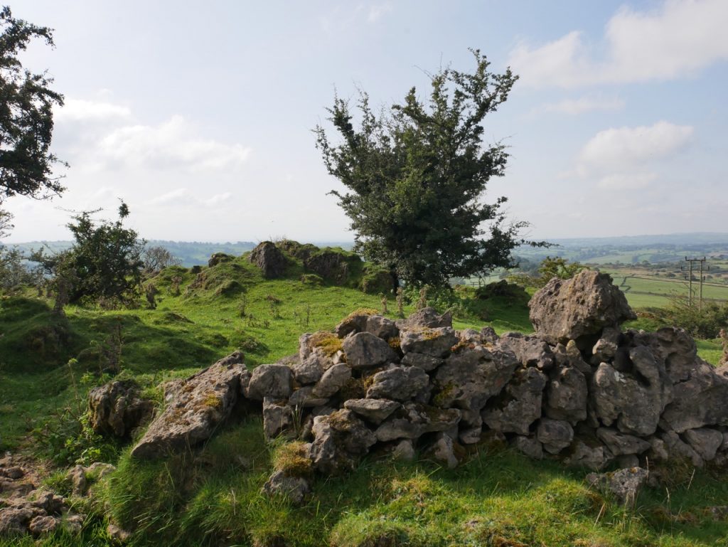
A day of gentle ups and modest downs in pleasant sunshine, taking us from a land of drystone dykes to one of hawthorn hedgerows. My first draft, and second and third, for this write up were very much “we crossed a field, and then another field, then a road, and then another field, and a road, and then a field, and another…”. So I’ve tried again…
Continue reading