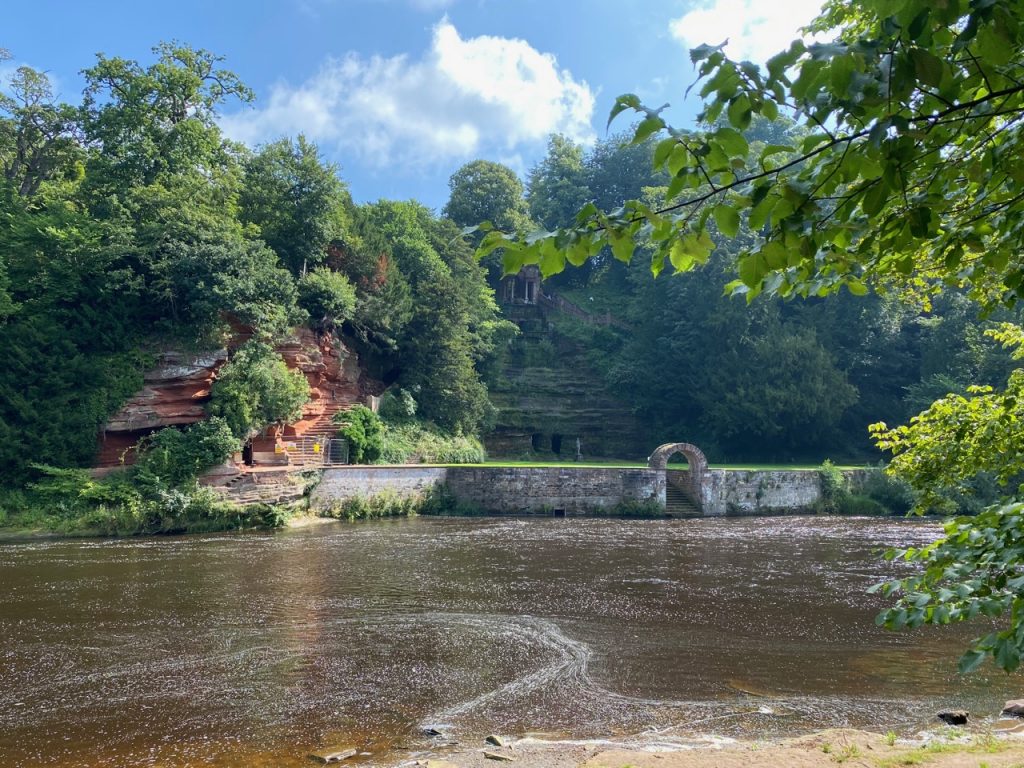
Well, that was some walk. The Eden Way Guidebook has Carlisle to Armathwaite as a single day but being <insert jocular self deprecating adjective here> we chose to split it over two days… thank God! There was a heat wave to contend with, shouting farmers, overgrown paths, uneven paths, overgrown uneven paths, fallen trees to clamber, hanging boughs to snag loose clothing and holes to snag the unwary foot, slippery mud, steep slippery uneven overgrown paths with holes, tumbles down slopes into nettles, moats of squelching quagmire, unbridged ditches with steep sides and only nettles and thistles as hand holds, beautifully crafted seats with welcoming signs but behind locked gates, the aforementioned 99 steps, bridges sturdy, bridges broken and booby-trapped stiles. But for all that we also had the Great Corby-Wetheral Viaduct, woodland walks, riverside rambles, the Flight of Fancy benchmark, Corby Castle though with its cascades dry, Saint Constantine’s cells and their INSCRIBED ROCK, a lonely woodland barn in Wetheral Woods, Cote House Tower and Coathouse Island, Brackenback Woods with Matthew Knublay’s Memorial (easily missed?), meadows, fields of barley, sandstone cliffs, heron, hare and rabbit, country lanes, gothic arches, free horse manure and fishing but for Yorkshire fly fishers only.
Continuing our Eden Way Walk. Picking up in Carlisle, downstream of which we have walked both banks of the Eden, on the Hadrian’s Wall trail (south bank) and the Cumbrian Coastal Way (north bank), we walked the section between Carlisle and Wetherby. This follows the river for three miles or so then heads across country to find the Eden again at Wetheral.
This was the final leg of our Cumbria Coastal Way, heading north from Rockcliffe up to the Esk Boathouse, but also the first part of the Eden Way, from Desmesne to Rockliffe. Two badges with one walk!
Mugwort, Global Warming, Old Hall, plant pots on bollards, smuggler’s sign, sandstone cross, Old quay, Marshes, Levees, electric fences.
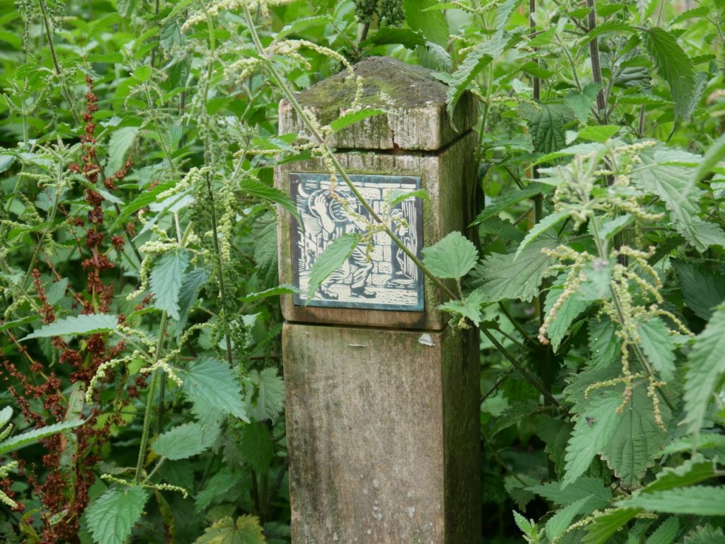
Smuggler’s Sign
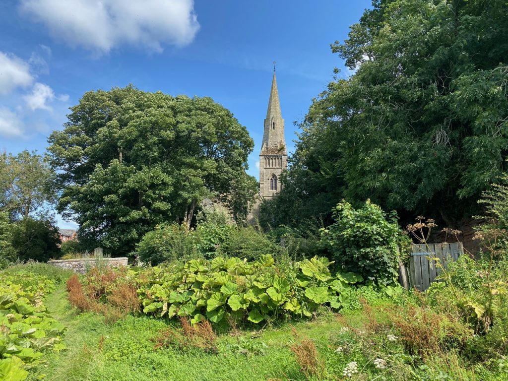
We parked as we had last week, beside the churchyard of St Mary the Virgin at Rockcliffe and walked down to the village green, passing this tile which presumably harks back to the days when smuggled salt and whisky was landed here. Though it could represent the hard working folks of the village, carrying goods in moonlight with neighbours keeping an eye out for each other in case someone should slip?
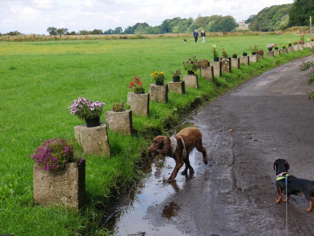
Rockcliffe Village Green
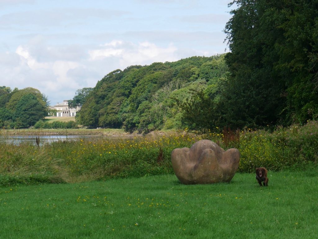
The green is lined with flowerpots on the wee bollards, has a couple of new-ish (ie not rotting away) picnic benches and a sandstone sculpture. This is “Global Warming” by Anthony Turner, one of the Eden Benchmark sculptures. The Old Hall can be seen peeping from the trees in the background.
Global Warming
The title of this sculpture is indicative of its global perspective. Situated where the river Eden flows out to sea there is an expanding awareness of the wider world. It could simply be a huge sea creature washed onto the shore but it conveys the sense of an even bigger scale. There is a mysterious pregnant silence about it and it resembles a planet earth held carefully in a hand. The term global warming is now ominously synonymous with the world overheating yet we would like it to mean a nurturing, life enhancing glow!
www.edenbenchmarks.org.uk
Riverside track
The path immediately beyond the sculpture wasn’t passable after a few metres. Perhaps at very low water it might be possible to walk in the mud but we turned back and walked along the single-track road for 400m or so until the road turned right and we continued straight on, negotiating our first stile of the day.
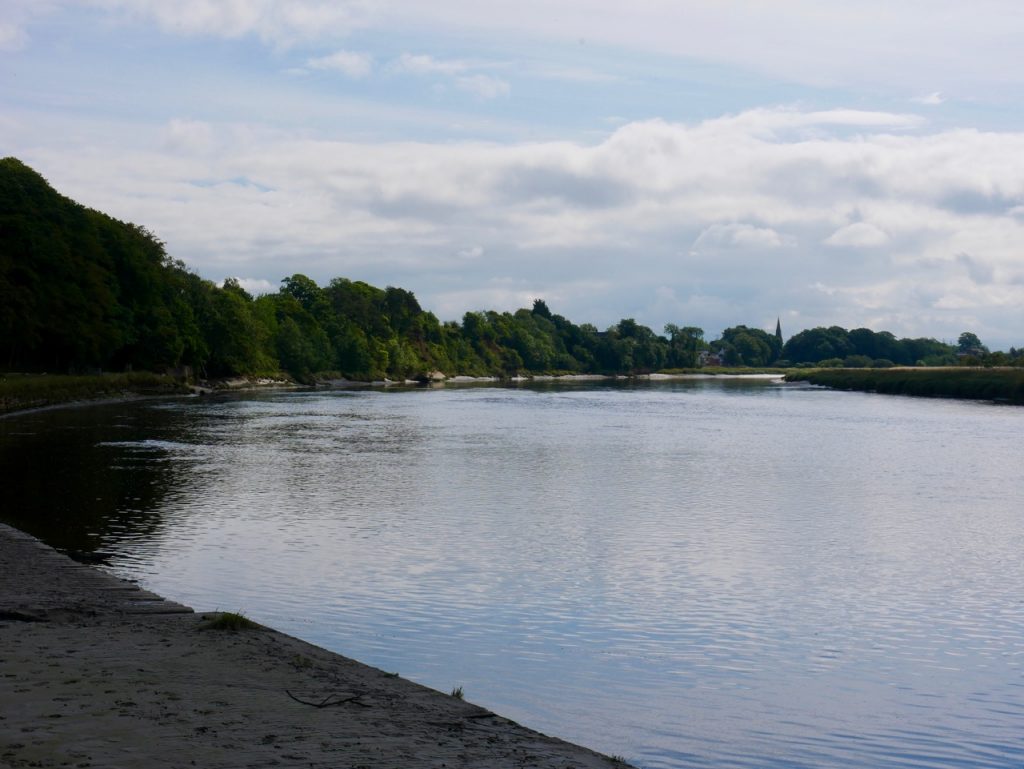
From the old quay
The bank here is man made and looks to have once been the quay. It’s pretty silted up now and we didn’t see any smugglers. But we wouldn’t would we? There was line of restharrow separating the bank from the wider grassy area and I needed to keep a close eye on Christy so he didn’t drop his stick down too steep a bank.
We eventually came to a herd of cows but found ourselves separated from them by a deep channel. We walked away fro the bank to find a place to cross and ended up walking along the levee of Desmesne Marsh. Me looking at the views but thinking, “Desmesne, that’s a word I haven’t used since school” We decided the levee was easier going than negotiating the channels through the salt marsh. I’ve already got my salt marsh badge from Skinburness.
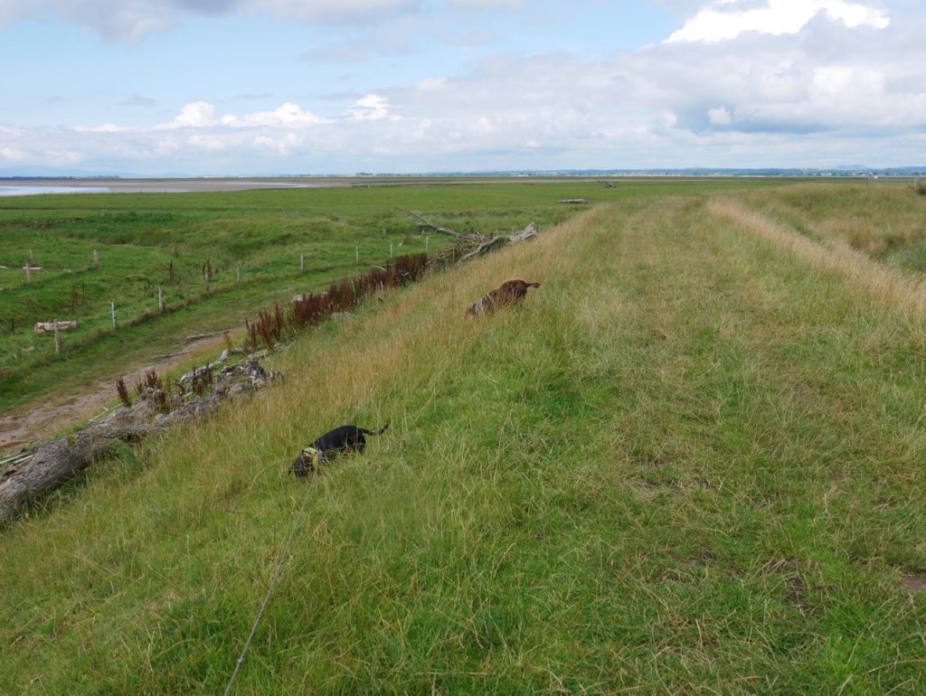
Levee on Desmesne Marsh
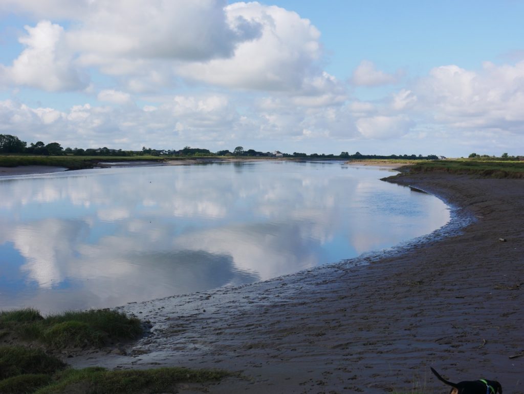
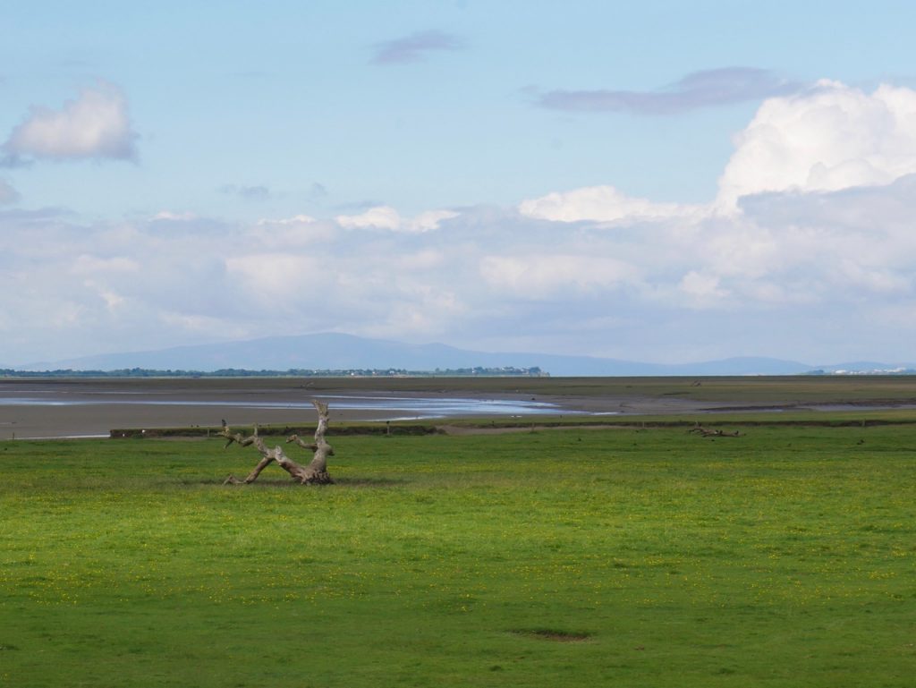
Where the levee turned away from the Eden will have to mark the “start” of our Eden Way, though I suppose we have walked further along the River Eden when tramping along the Hadrian’s wall Trail. The Photograph below is taken from the levee. Criffel is the hill in the distance and Port Carlisle at the head of the Eden Channel is in the middle distance, and Annan on the far right.
Start of Eden Way
We decided to turn back where the levee turned east near the Esk Boathouse, with Metal Bridge and Gretna in view. I thought having reached the Esk we could consider our Cumbrian Coastal section complete. I realise that the old CCW carried on to the River Sark near Gretna, but that would involve 2.5 miles along a busy road without pavements.
End of our Cumbrian Coastal Way
We stopped for a drop of water, a celebratory jelly baby and a few minutes of contemplation, then turned about and retraced our steps.
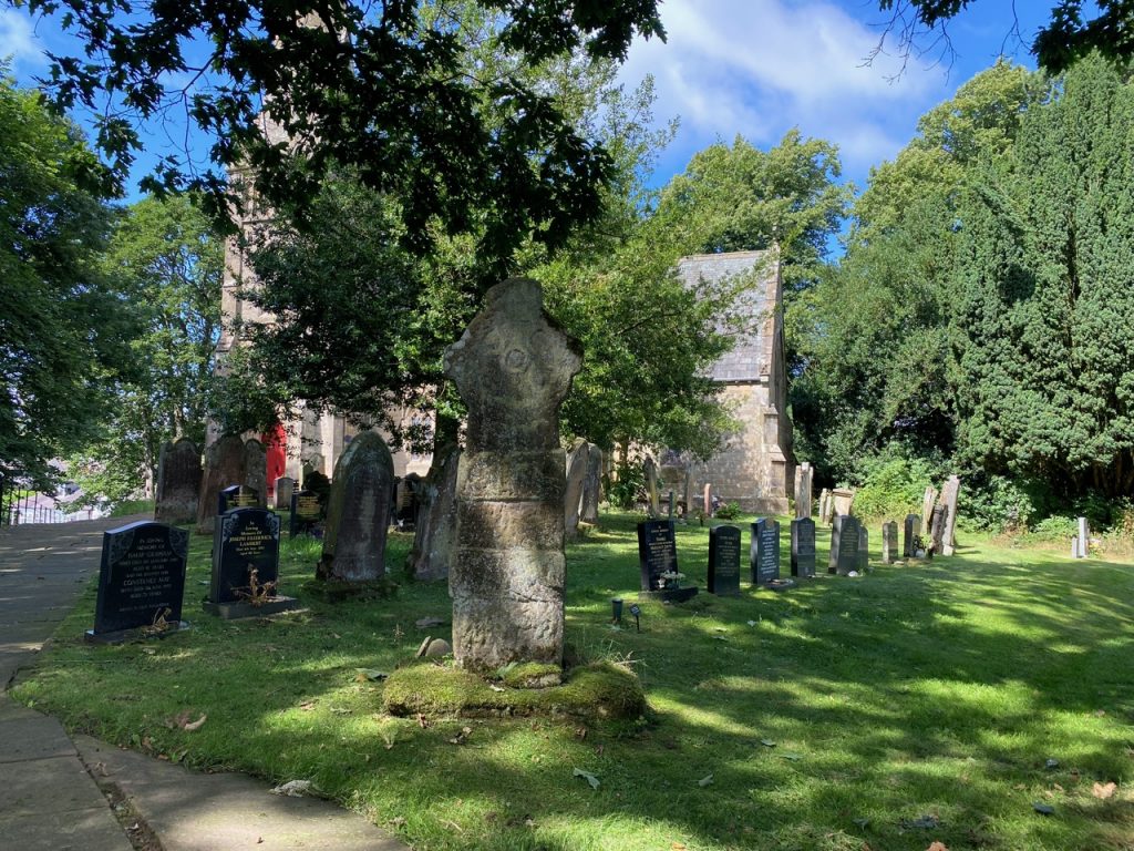
Rockcliffe Cross
We took a closer look at the Norse Cross in the churchyard. Historic England says “The style of the cross indicates it to date to the 10th century.” It is in spectacularly good nick considering it has stood in the open here for a thousand years.
A beautiful day. Easy walking in riverside meadows, fields and paths. A couple of kissing gates but more often stiles, mostly well constructed with gaps for dogs but a couple of tricky ones: wobbly to test one’s balance; asymmetrical, deeper one side than the other; overgrown; or just rotten. This latter was in fact an abandoned stile, the real stile being hidden by trees.
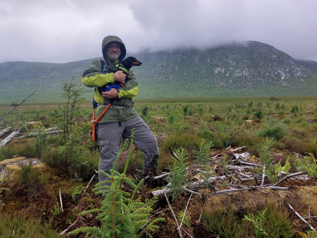
The Dungeon of Buchan is not a deep dark prison. It is an Daingean, the stronghold of Buchan. In the photograph above I am beneath its ramparts. But don’t be fooled. Those sheer granite cliffs are not its main defence. The real challenge lies in reaching them at all. Between us and them are the quakkin’ quaa and green morasses of the Silver Flowe.
Phew! It was too hot for hill walking, but escaping sunstroke would mean braving meanbh-chuileag and their buzzing buddies. Midge bites won over sunstroke. Sphagnum, purple moor grass and soft rush are the midges favoured breeding grounds. We passed plenty of each and when we strayed away from such places, other flies circled us, dogs included, like the orbiting insects seen around cartoon characters. But we came partially equipped, me with my midge net, Audrey with her midge repellent spray.
8.84 miles 6h 40m ascent 865m Mossdale to Merrick (part 6)
This, part 7 of our Raiders walks, was the sixth and final of the Mossdale to Merrick trail. As with each of the other Raiders’ sections we walked the same way out and back.
This walk has three sections: Bruce’s Stone to Culsharg, a gentle climb beside the Buchan Burn to get you warmed up; Culsharg to Benyellary, is a little steeper but carries you onto the mountain; then the Neive of the Spit, a short descent followed by gentle climb to The Merrick.
Mossdale to Merrick (part 5) 7.89 miles 4h 24m ascent 322m
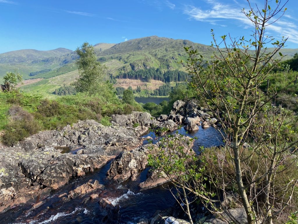
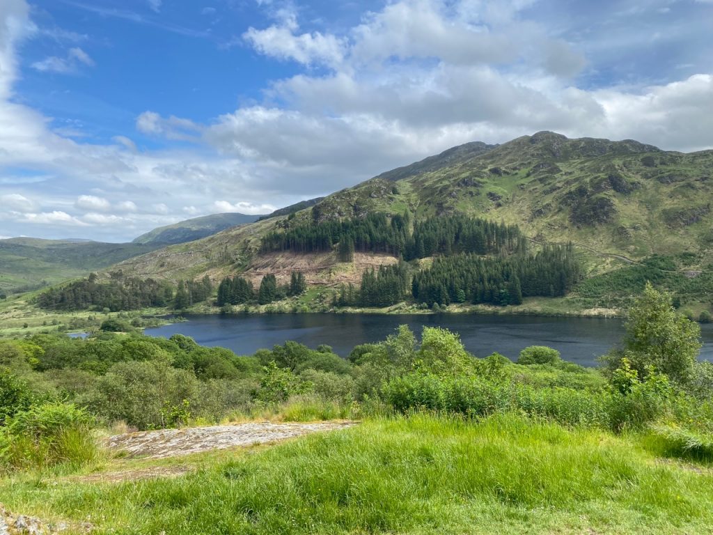
Loch Trool
Loch Trool to Loch Dee
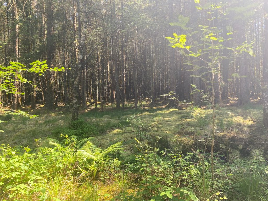
The sixth of our Raiders walks took us from the “treeless waste around the lonely mountain lake”, Loch Dee, to the “sylvan woods and bright verdure” of Loch Trool. We parked below the Fell of Eschoncan near Bruce’s Stone and our route was a simple one, along the track past Glenhead and then the Southern Upland Way as far as the Rosnes Benches above the loch, returning the same way. I had considered starting at Caldons and including a full round of Loch Trool itself but was pleased I didn’t when we found the footpath on the southern side of the loch closed (for felling).