
10.44 miles 5h 12m ascent 271m
Craigencallie-Back Hill of Bush
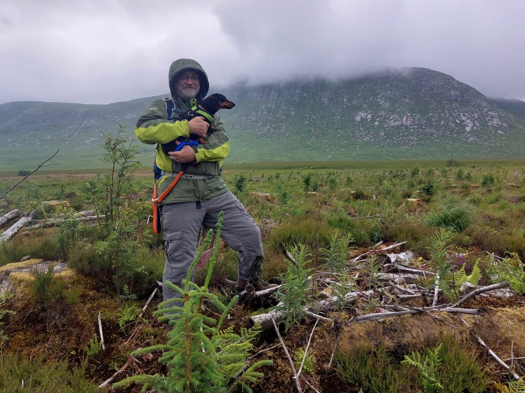
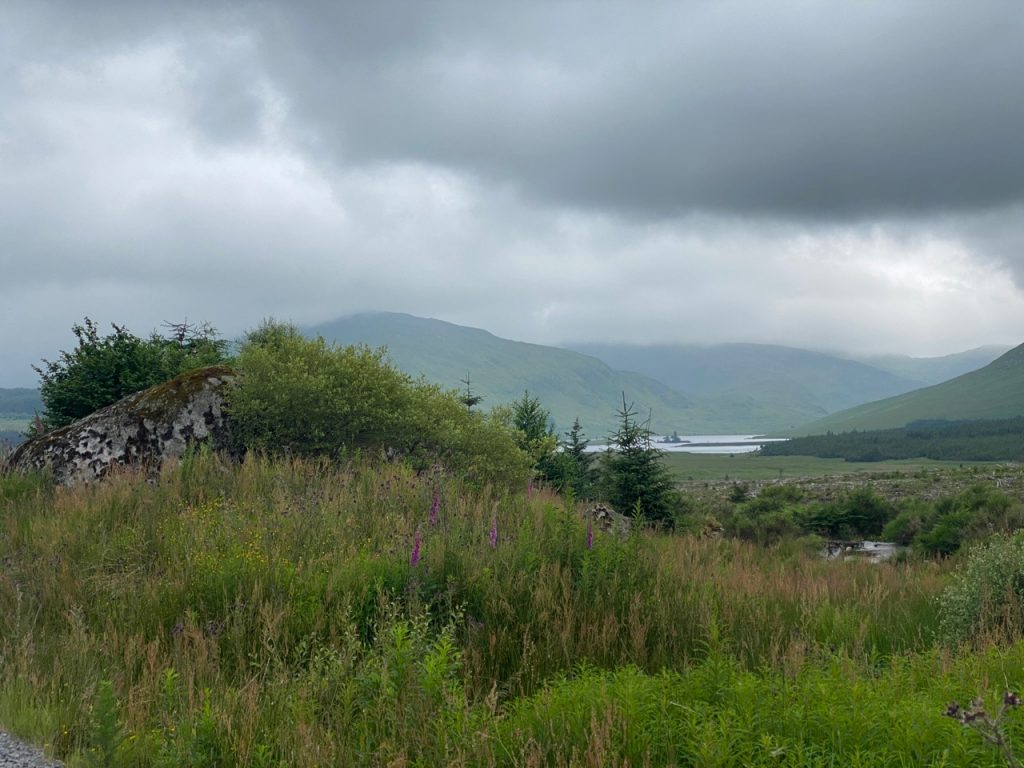
The Dungeon of Buchan is not a deep dark prison. It is an Daingean, the stronghold of Buchan. In the photograph above I am beneath its ramparts. But don’t be fooled. Those sheer granite cliffs are not its main defence. The real challenge lies in reaching them at all. Between us and them are the quakkin’ quaa and green morasses of the Silver Flowe.
We didn’t brave the Silver Flowe on this occasion, but I have done so in the past. It is quite a effort just to reach the flowe, a couple of burns to cross, a swathe of what was once forest growing in bog and is now new-fell, brittle bleached branches, like tiger traps, over hidden pools, and rocks to snap unwary ankles. And then the Nick of the Dungeon, looking like a gentle green slope one might sit on to picnic but is actually a steep, quaggy, rock-strewn slope littered with hidden water filled holes. The memory that sticks with me from my ascent all those years ago was the sound like ‘kerplunk’ as my foot fell into one of those holes.
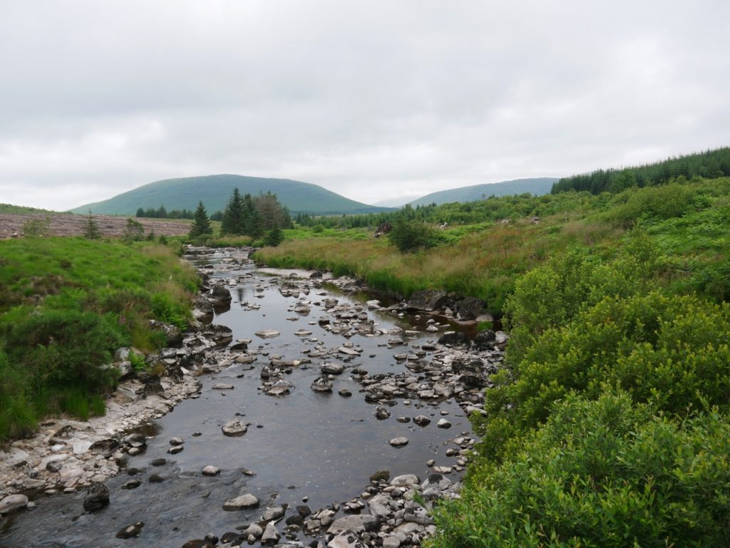
Black Water of Dee
Our walk today was another exploration of the ground covered by Crockett’s characters in his Raider’s books. We were walked from Craigencallie, where a sign warned that only authorised vehicles should drive further, to Back Hill of Bush. Almost all on forestry tracks, just a few metres of wild walking.
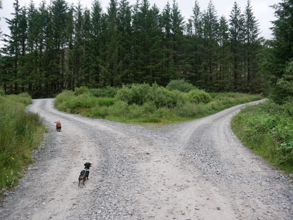
So many choices
We crossed Black Water of Dee at the bridge that carries the Southern Upland Way, though the river itself was low enough that it could easily have been crossed in several places. There was 200m of SUW to walk for the day. In the photograph above, the SUW goes to the right, but today’s walk took us to the left. We had stopped near here for sandwiches when we were walking the SUW a few years ago. Audrey recalled it had been a long stretch. That section had been a 15-miler in the rain! But we can look back and smile now (I think).
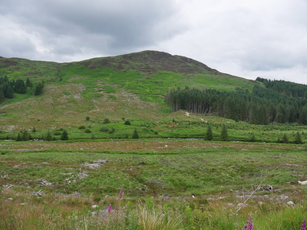
The road rises more than you might expect and felling has opened the views. We could see the SUW making its way across the lower slopes of Cairngarroch and then Curleywee. The slight rise of Ellergower Knowe remains forested rising like an island amongst the moorland. Ellergower is thought to derive from ail na gobhar, goat’s cliff, which makes me wonder if the slopes of Craiglee, rising behind it, might once have been the original Ail na Gobhar. Unless a small cliff is hidden by the trees on the knowe itself.
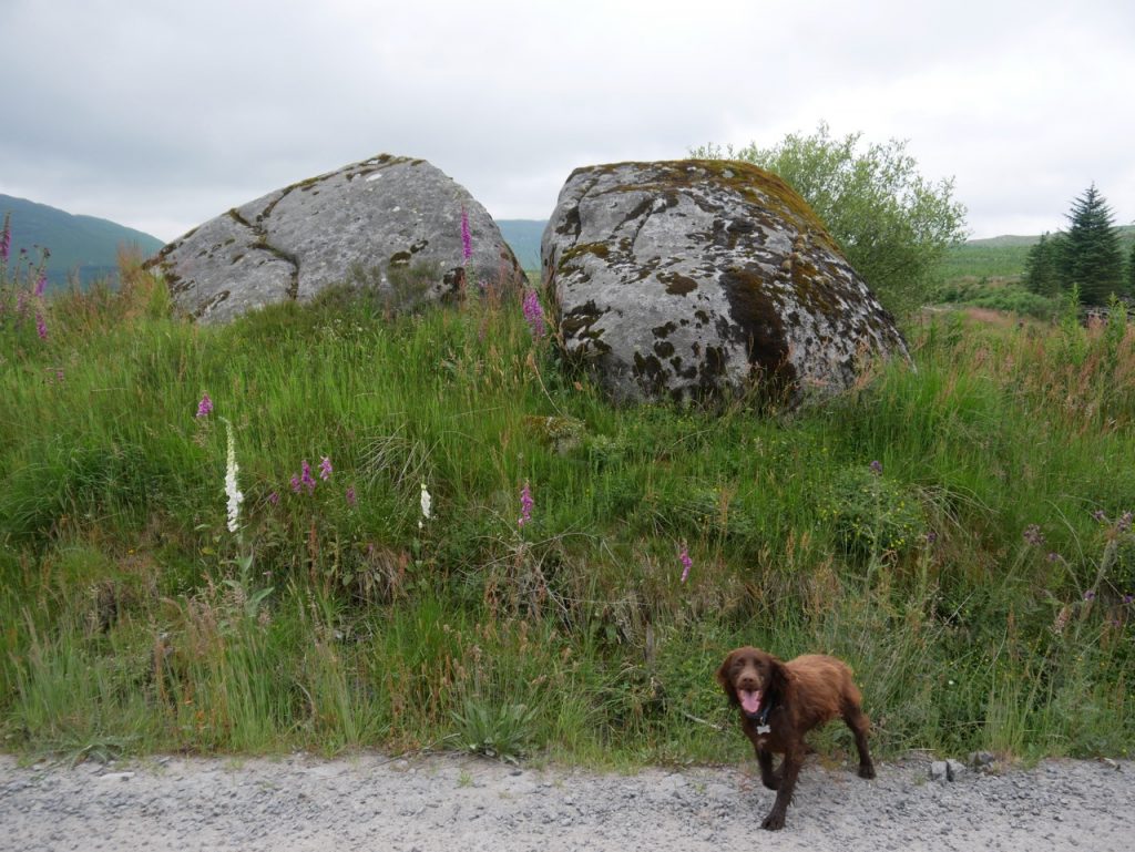
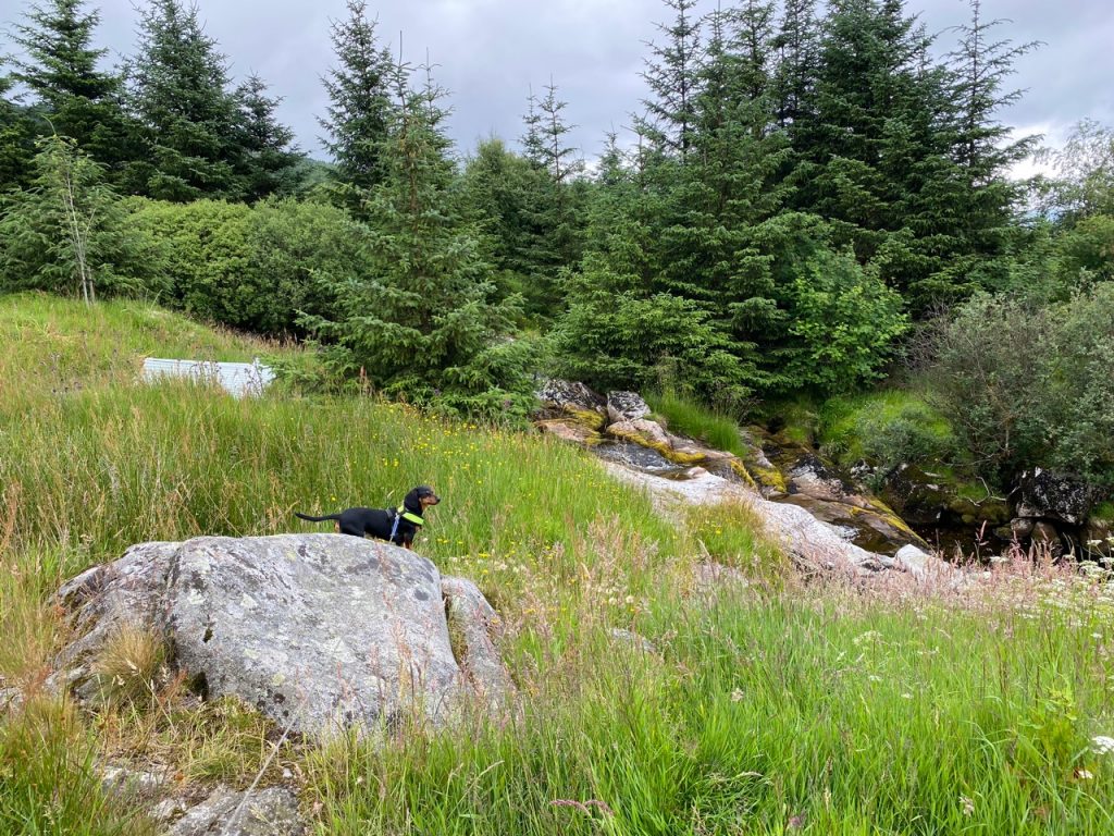
McWhann’s Stone, dog for scale
There were orchids, heath spotted orchids, to draw our attention and then two large erratics beside the track.
A large Granite Stone about [8] feet high & on the farm of Mid Garrary. This Stone was a resorting place of for a man called McWhann who was persecuted for his adherants to Scotlands reformation hence the name.
Ordnance Survey Name Book OS1/20/32/10 1848-1851
One Andrew MacQuhan, a Covenanter and fugitive, was executed at Newtoun of Galloway (New Galloway) by firing squad in 1685. He had been arrested the day before, in a neighbouring parish, while lying ill with a fever. I’ll have to say that the connection with these stones doesn’t ring particularly true to me. The hill on whose slopes these stones stand is Craigwhannel and I could imagine them being referred to as Craigwhannel’s stones. The OS book’s information was taken from two local kirk ministers who may have been inclined to see a connection with a local ‘martyr’ two centuries after the events. But, who knows?
Most of the recorded history for particular covenanters paints them as righteous innocents and the government agencies as heartless monsters. Things may not have been quite as black and white. Colonel James Douglas who is said to have arrested McWhann was in SW Scotland tasked with quelling an armed uprising. While on patrol deep in the Galloway Hills, a captain, two foot guards and six Society people were killed in a skirmish. Colonel Douglas himself was almost killed, only surviving because “one of the whig’s carabines misgiven“. After the skirmish, Douglas, possibly with prisoners or chasing others, headed for New Galloway. The route he took isn’t known but one of the possibilities would have taken him across the Cooran Lane at Ellergower Ford and past the erratics now known as McWhann’s Stone. Could McWhann have been captured or wounded there?
A Bullet From The General: The Shooting of Adam Macquhan by a Hero of the Battle of the Boyne gives much more detail about these events. The six “society people” who had been killed are those in the “martyr’s grave” near Caldons.
McWhann’s Stone, Loch Dee, Curnelloch Burn
At the stones we could look back to Loch Dee and Black Water of Dee ‘arising’ from the Loch, but in reality the stream leaving the loch, named as the Black Water of Dee, joins the much more substantial Cooran Lane, suggesting that as the real source of the Dee. A lane is a “a brook of which the motion is so slow as to be scarcely perceptible“. It has the sense of broad, deep and slow and may have arisen from leathan, broad, and that that is exactly how Cooran lane looked.
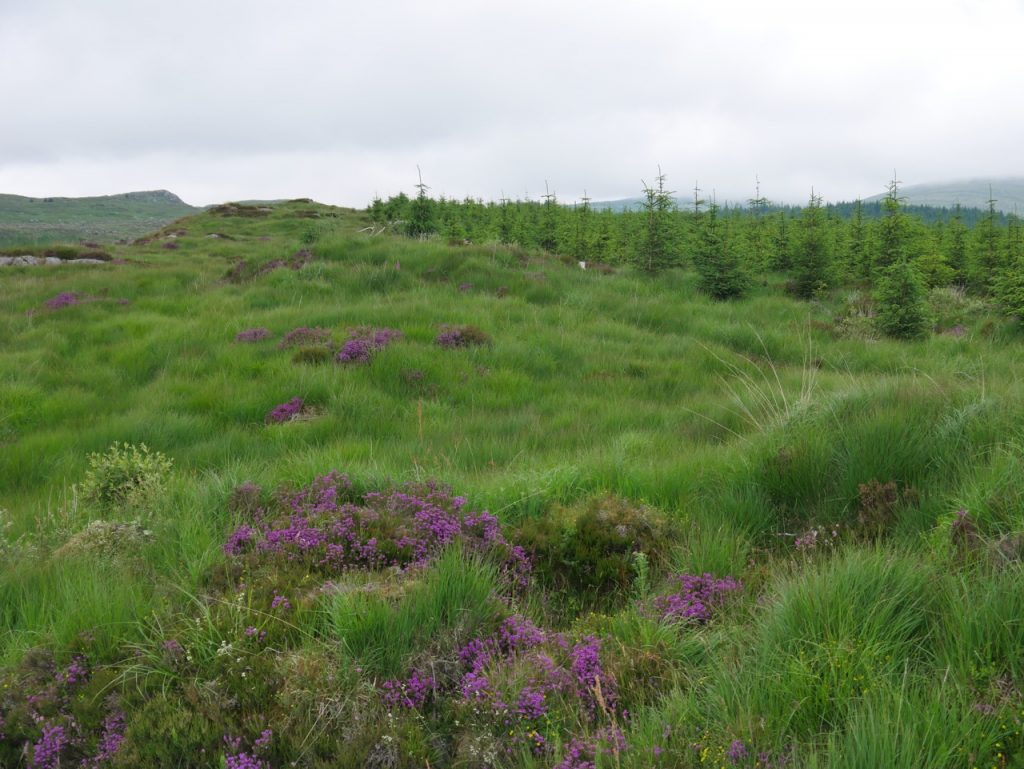
Moor Grass and Heather
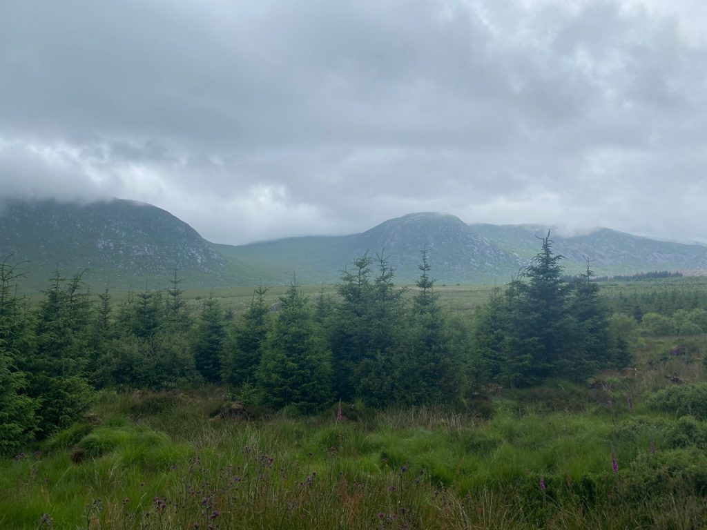
Nick of the Dungeon
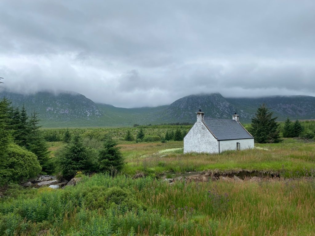
Back Hill of Bush
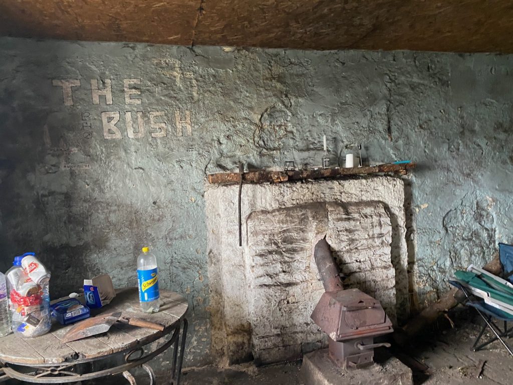
Inside Back Hill of Bush
Downies Burn
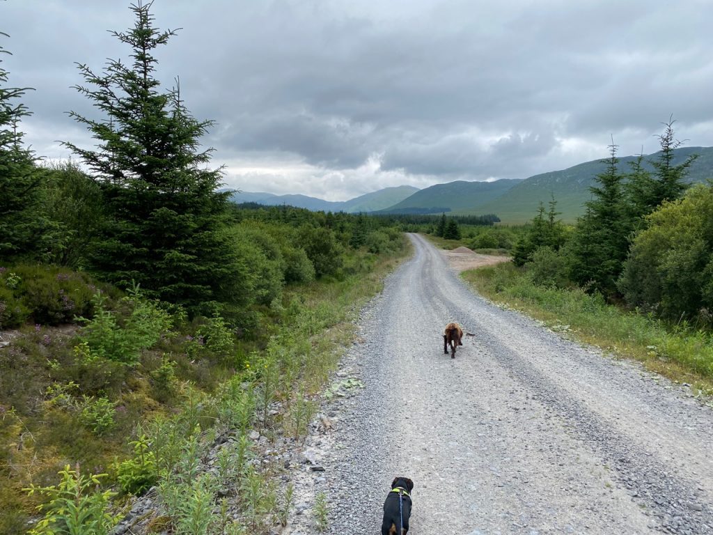
The long road back
Green Bracken on Darrou
[sgpx gpx=https://www.screel.co.uk/walks/wp-content/uploads/2021/07/RK_gpx-_2021-07-09_1044.gpx]
