
8.07 miles (there and back) 4h 50m ascent 65m
Rockcliffe to Spa Well (Cumbria Coastal Way)
A beautiful day. Easy walking in riverside meadows, fields and paths. A couple of kissing gates but more often stiles, mostly well constructed with gaps for dogs but a couple of tricky ones: wobbly to test one’s balance; asymmetrical, deeper one side than the other; overgrown; or just rotten. This latter was in fact an abandoned stile, the real stile being hidden by trees.
This walk was part of our effort to complete the northern section of the old Cumbrian Coastal Way, Hadrian’s Coastal Route and Hadrian’s Wall Trail having taken us from Ravenglass to Carlisle. And will, I hope, be part of an Eden Way Walk. This is a short section between Spa Well (sulphur) and Rockcliffe but walked both ways since car sharing is still forbidden.
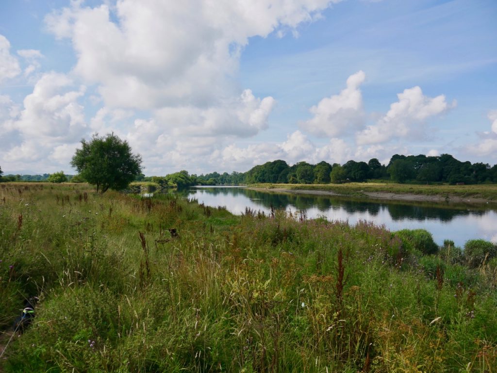
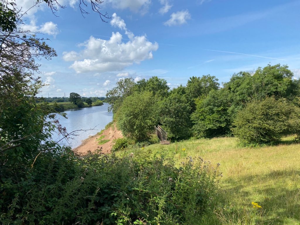
River Eden at Rockcliffe
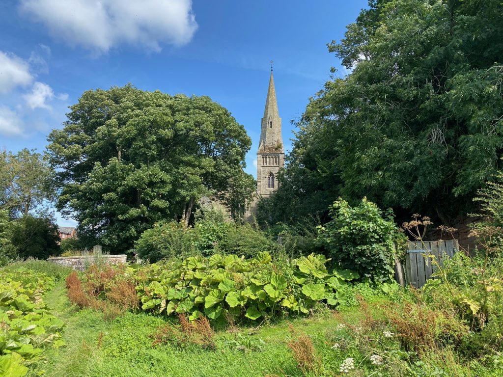
Rockcliffe is the last village before the Eden reaches the Solway. Built on a rocky outcrop, the ‘rock’ in its name derives from rauðr, meaning red in Old Norse. In older times there was a castle here, a commercial port and shipbuilding, but these are long gone leaving what can best be described as a sleepy village.
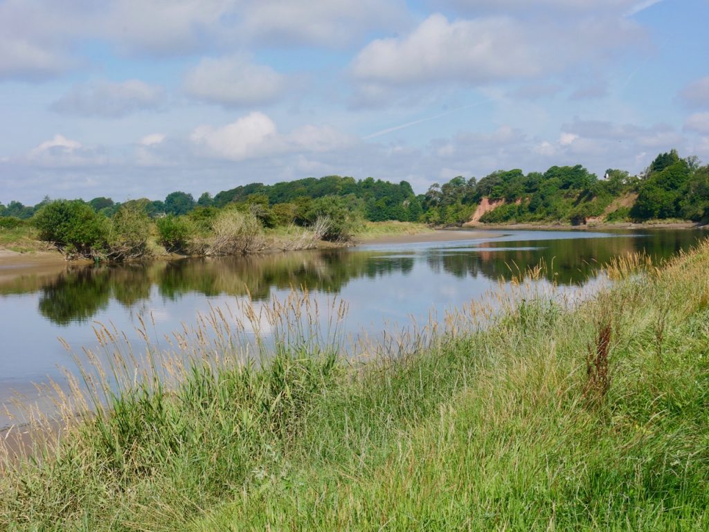
We began our walk by the churchyard of St Mary the Virgin. From there it is a short walk down to the river. A footbridge taking us over Rockcliffe Beck to a well walked track beside the river. For a short while that is. Then the original path has been lost to erosion for a short distance, but there were stiles built into the fencing allowing us to get walk in the fields. That did mean sharing our space with a few cows but they seemed to be in siesta mode. The dogs behaved well. Even the dachshund was quiet, thankfully.
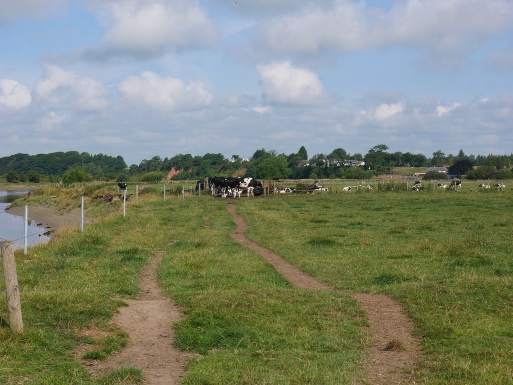
Cows on the path (red cliff just visible)
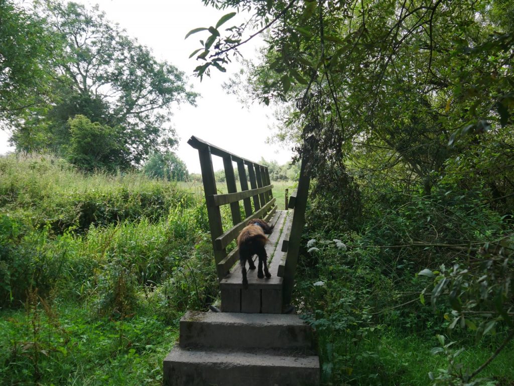
Wee bridge
Lovers’ Bank River Eden
Old tales tell of lovers lost in the meadows here. When the sun shines and the wind is quiet they are said to appear by the river, there to embrace once more. And as we walked back towards Rocklcliffe there, in the distance I imagined I could see them. As I drew closer they became more substantial. I made some noise, shouting loudly to the dogs, “Good boy! What a fantastic stick you’ve got! Fetch!” But the pair paid us no heed. Were they real? Who knows. Perhaps if you walk there one warm day, you too will find them there.
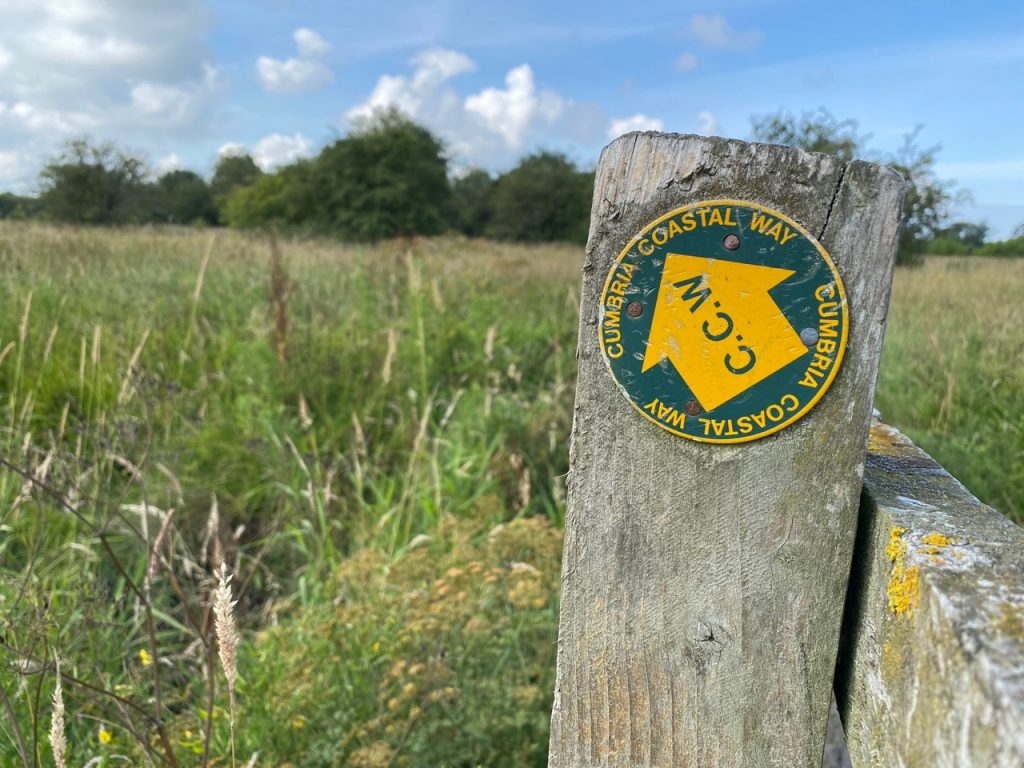
The Cumbrian Coastal Way has not been ‘supported’ by Cumbria Council since 2010 and is no longer shown on OS maps but remnants such as this sign are dotted here and there. The reason given by the council not supporting the route is that parts are now un-walkable. That said, we have made it all the way from Ravenglass to Rocklcliffe. I suppose it depends on what ‘coastal’ means. There were a great many discs like the one above but with the words around the edge scratched off
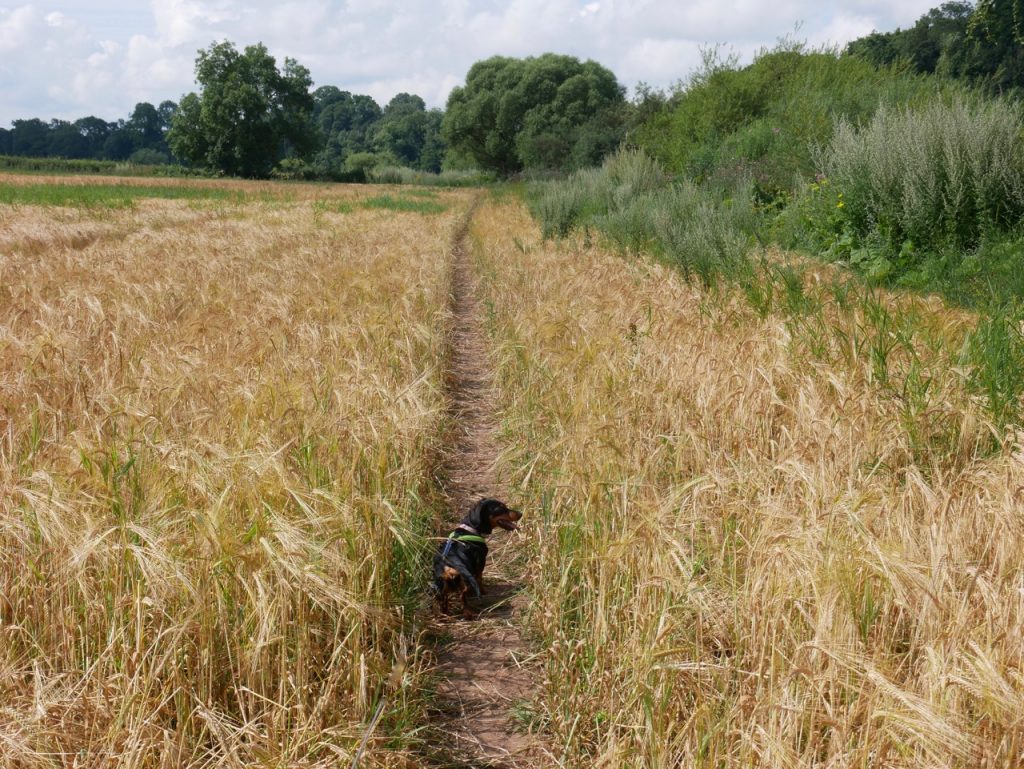
walking by the barley
Our day saw us walking riverbank, picking our way across meadows, fields of barley, wheat and grass, and crossing several sturdy wooden footbridges. The ground was firm but I suspect in wetter weather we might have arrived back at the car pretty muddy. As it was the only mud was beside the low water of the river far from our footfalls. Obviously Christy couldn’t ignore that though. Who knows why spaniels find mud so attractive? As well as the cows we passed alpacas, one fisherman in the river and several other walkers. There were ducks, swans and Audrey even saw jumping fish.
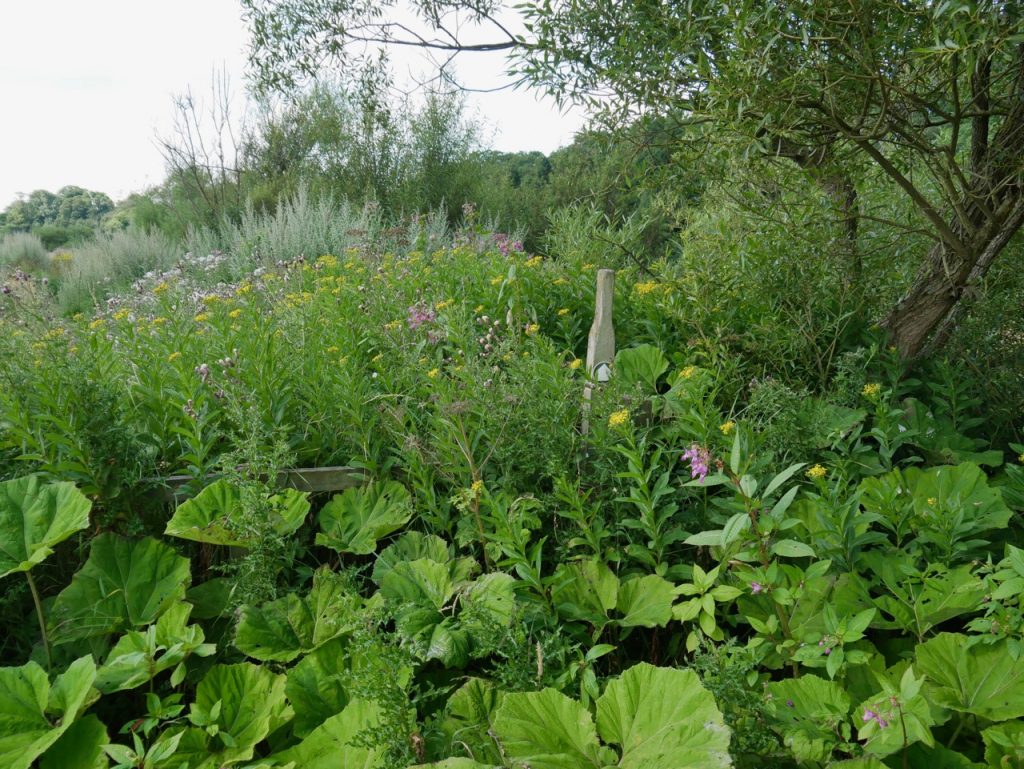
Overgrown Stile
This overgrown stile was not quite as it seems. There is a gap in the fence just to the left, out of the picture, where presumably there was once a gate, and I presume walkers have taken the easier route allowing the plants around the stile to flourish unmolested. Indeed I wouldn’t have noticed the stile had I not noticed Audrey taking a photograph of it.
weird tree
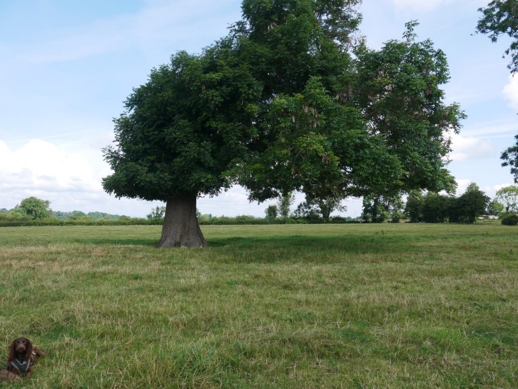
We walked along a line of weird trees, old judging by their girth, where the river bends near Cargo. They look to have once been an avenue. The one above looks as though it ought to have another trunk. Others were hollow. All were weird in some way. I wish now that I had photographed each one.
a wee bridge
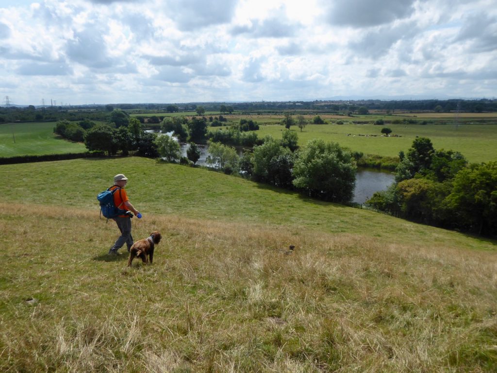
The earthwork hill
The OS map shows an ‘earthwork’ with a 33m spot height. We saw no sign of it on the ground but it can be made out on satellite photos, just faintly. Historic England describes it as ‘All but ploughed out‘. It would have had commanding views both up and down river. It is likely the site of an iron age fort, ‘more likely Native than Roman‘. Prince Charles’ army is said to have camped here in 1745.
We had followed a faint track over the ‘earthwork’ to a very dilapidated stile that had missing steps, no hole for the dogs to walk through and a steep drop on the far side. Monty Python might have referred to it as an ex-stile. Luckily the spaniel managed to jump over himself otherwise lifting him over would have been a pain. This was the first bad stile we had come across all day. Once on the far side of it and from where I am in the photograph above, I looked back and saw that there was a good stile about 10m from the bad one, but hidden on the other side by some stumpy trees. We used that one on the way back.
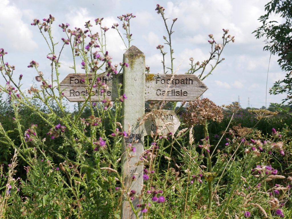
signpost near Cargo
There were a great many flowers along the way, many we recognised and some we didn’t. One in particular is a plant that has eluded identification (by me) for a couple of years, but now I know it to be broad leafed ragwort. Until this now it had been “looks like a willow herb with yellow flowers”. Others that we couldn’t name on the day but found in the books later were tall melilot, spiny restharrow, marsh ragwort and creeping yellow cress.
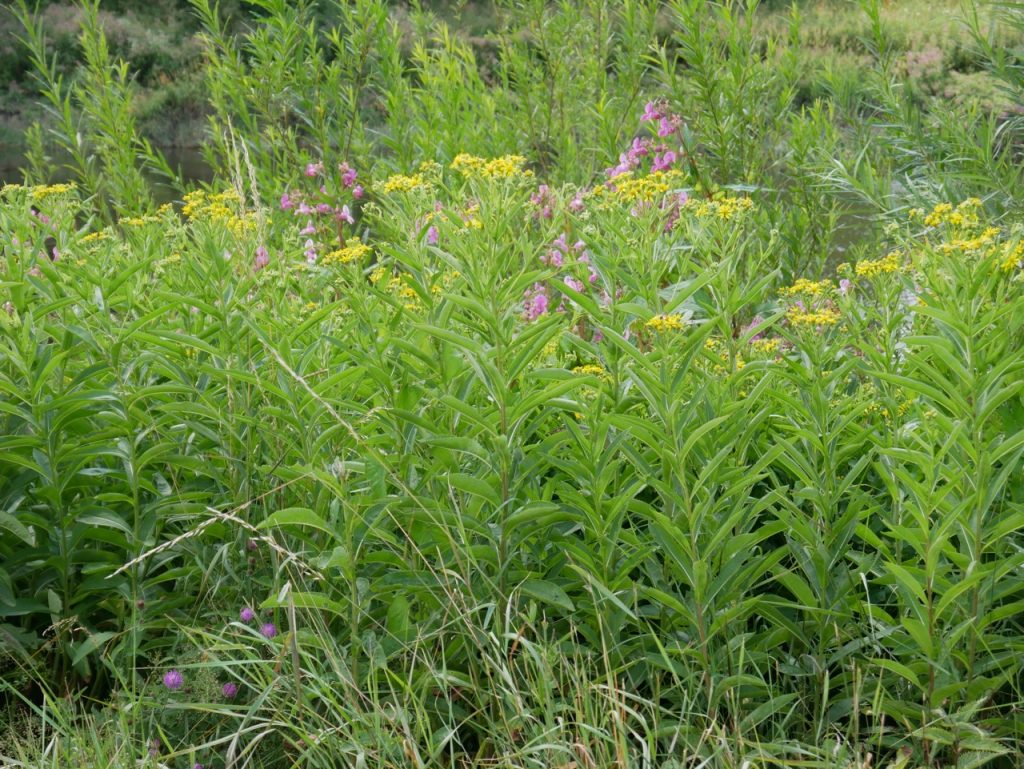
Broad leaved ragwort
[sgpx gpx=https://www.screel.co.uk/walks/wp-content/uploads/2021/08/RK_gpx-_2021-08-03_1027.gpx]
