Cù Brìde: My Golden Sun

I heard someone say, surprised, many years ago,
“Did you hear that, he calls his dog Sunshine”

He was sent from the sun in a garment of gold, 
With a spirit too bright for a world to withhold. 
A gift to a home that was happy and loud, 
Yet held a small shadow like mist on a shroud. 
For a splinter of grief niggled deep in my heart,
‘Til he came with his light to make sorrow depart.

I came from my work, feeling weary and worn, 
To a house where the joy of the evening was born. 
While eating my supper in silence alone, 
My Lynn brought a question in such a sweet tone; 
“Now wouldn’t our Leo be glad of a friend?” 
I nodded my head, never seeing the end.

A “yes” seemed the answer, both simple and kind, 
With never a thought for what Lynn had in mind.
 

“Then I’ll take the boys!” she replied with a flare, 
And left me alone with my meal and the air. 
Two hours had passed when a puppy of gold 
Was tugging at sausages, fearless and bold. 
With Leo he tussled and pulled at the line, 
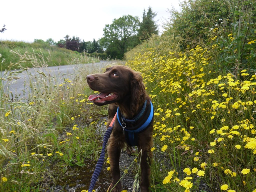
A spaniel-shaped sunbeam, a treasure of mine.


In the years of the boys, he was fire and play, 
Through the haughs and the heather of Galloway’s day. 
He would race through the bracken and leap through the grass, 
And he’d mourn every moment we’d let the time pass. 
If we rested a second, he’d sit and he’d bark, 
For the trails were for treading, and leaving our mark.


He was never for “fetch” or the returning of balls, 
But for chewing on bones in the warmth of the walls. 
And as seasons rolled on, and the sixteen years drew, 
The pace of the gallop was settled and few. 
The muscles grew weary, the fire grew deep, 
As he traded the mountain for stillness and sleep.

He would rest his tired head on the shelf of a knee, 
And his eyes were a mirror of all he could see. 
Then the time came to leave and to travel once more, 
To the Lady who sent him to wait at our door. 
Across the bright threshold, his journey was run, 
To the lap of the Goddess, the child of the sun.

He is home in the glens where the stillness is sweet, 
With the white heather soft ‘neath his golden-brown feet. 
And Brid strokes his ears as the evening grows dim, 
And she whispers the words that she saved just for him: 
“You have tended the hearth and you’ve guarded the fold; 
Now rest here in peace, my brave runner of gold.”

Go safely. 
Slàn leat, Sunshine. 

Footnotes

On my fiftieth birthday we had a few folk at the house, and I overheard them talking as I went to get some drinks. “He calls his dog ‘Sunshine’.”

This was the first of my poems about dogs. Or more honestly, the first to come close to completion. It has a strange title, I know, but I decided to keep it. This poem began life as a single line in another brief piece. I went in search of that original poem recently but could only find a collection of unfinished lines. I had thought it finished but think now that it was never finished. That poem was based on the goddesses of the hearth that my ancestors from the far west (the banks of the River Shannon) and the furthest east (Bengal). Somehow the  stream of consciousness took me to Rachael and Eleanor, and Sweep as the goddess Brid’s dog sent to heal our hearth —and to fit the rhythm that was rendered as Cù Brìde.

This poem relates the tale of the day Sweep joined our family. As it says, I came home from work, late and tired. Lynn asked if I thought it would be nice for Leo to have a little friend to play with. As I do, I answered the question as literally posed, the subtext unheeded. Any answer other than “Yes” would have been churlish. A couple of hours later, Leo was playing with his new friend, each tugging at plastic sausages.

Leo was a friendly, playful dog but not one for hugs and cuddles. He preferred his own space. Sweep would sit by you, head in your lap, or your foot, or your hand. Lynn tells me it was Leo who taught Sweep to bring cushions.

I think his pedigree name was something like Black Kettle Sweep. I will see if we have it written down anywhere. It was something with “Sweepl in it anyway, hence his name. We couldn’t have names starting with B, D or P since I would not be able to call them. 

He was a powerful dog. Looked as though he pumped iron. He pulled at his lead making walks on the lead a chore. The two dogs were not allowed upstairs at St Cuthbert’s but I got the impression that Leo sent Sweep up to explore, like an older brother sending a naive younger sibling to break the rules.

He woke one morning, apparent paralysed but slowly recovered; a reactive arthritis rather than disc prolapse. He was left with a slight limp that worsened as he aged. A friendly dog, he liked to bring a cushion but chewed slippers, and shredded his bedding if anxious. I only saw him angry one time. A large dog had a go at Leo, when Leo was old; Sweep lunged at a dog twice his size, hit it mid-flank and knocked it over. Leo had done the same for Sweep a few years before when Elaine’s dog had a go at Sweep.

When still well enough to walk the hills he roamed beside me on the moors of Shiel Hiil above Cornish Loch. We came to a lochan Sweep went along its left bank, I went along the right bank. Half way along he realised we were on opposite sides and instead of running back round, he jumped in and swam across. I thought I might have to wade in to fish him out but he made it across. He jumped into Loch Dee some years earlier and could not get out. Again I thought I would have to jump in to get him but managed to grab his collar during one of his attempts to get out. He did like water. I avoided walking along the Nith with him when the river was running high.u

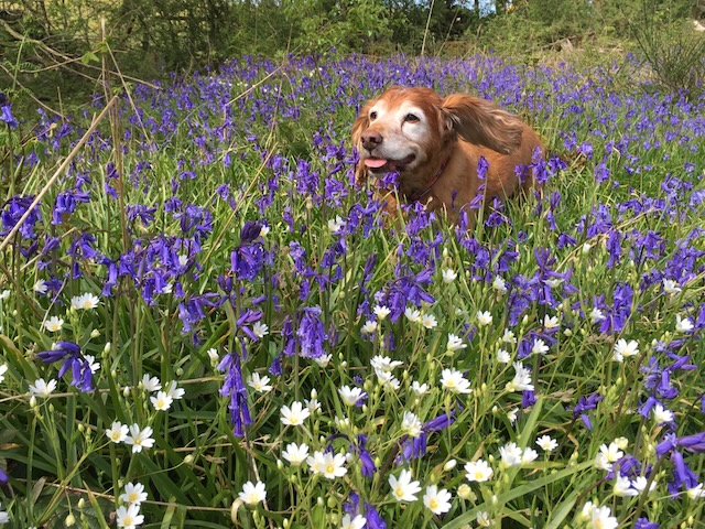
I only remember him fetching a ball when he was very old. He died a few days before his sixteenth birthday. His photograph, running through bluebells, was on my wall at work.
Posted in Dumfries & Galloway | Leave a comment

Hadrian’s Coastal Route 8: Hudson Bay to the Solway

7.19 miles 2h 55m 9m ascent

Anthorn to Bowness-on-Solway

An unco sough i’ the gloamin’
An’ a flaff o’ risin’ win’,
A glisk o’ stoundin’ waters
By the weirdly licht o’ the mune,
An’ the fell dark tide o’ Solway
Comes breengin’, whummlin’ in. 

Dorothy Margaret Paulin

This final section of our Ravenglass to Bowness coastal walk was a short stroll around the Cardurnock ‘peninsula’ from Anthorn, where the River Wampool meets Moricambe Bay, along the coastal road to Bowness-on-Solway, completing Hadrian’s Coastal Route where our Hadrian’s Wall walk had begun.

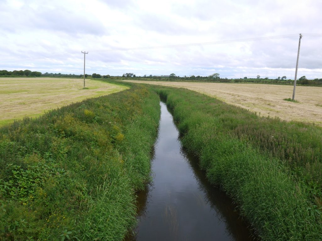
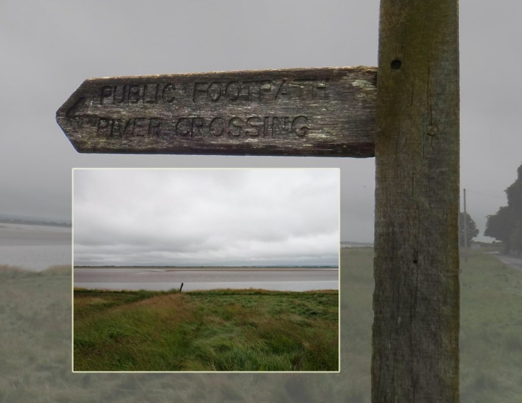
A difficult river crossing

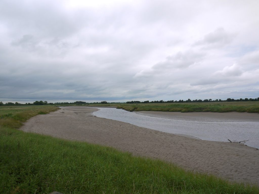
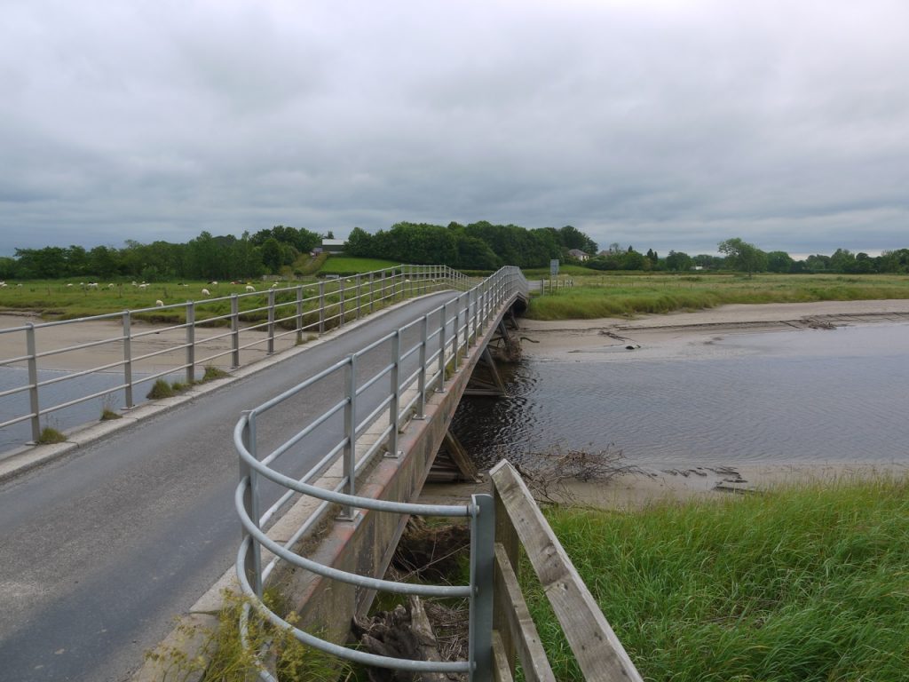
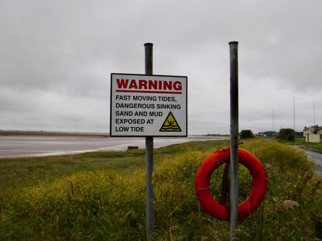
We started a little east of Anthorn, with the the mudflats of Moricamb Bay beside us and the imposing radio masts ahead. The route was entirely on minor roads so, thankfully, did not involve the river crossing shown in this photograph.

Completing the route was undeniably a satisfying experience both because we had completed another long distance walk, but because we had also joined the two Hadrian walks. We were spared the usual excitements of difficult terrain or navigational challenges and did not need to venture on to mud-flats or marshes. The tides were not a problem and the only water we had to cope with had fallen from the sky. At the start it was raining heavily enough that I donned full waterproofs (and even put a coat on the dog), but the day was warm and when the rain lessened I was quick to shed the ‘not-so-breathable gore-tex.

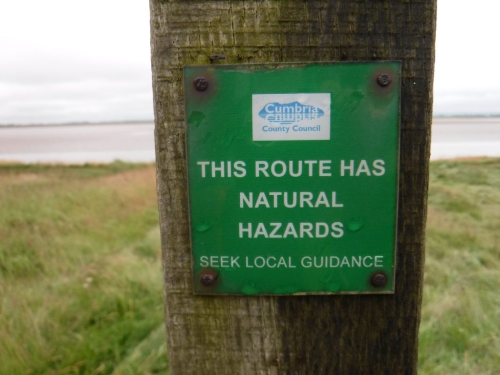
Natural hazards

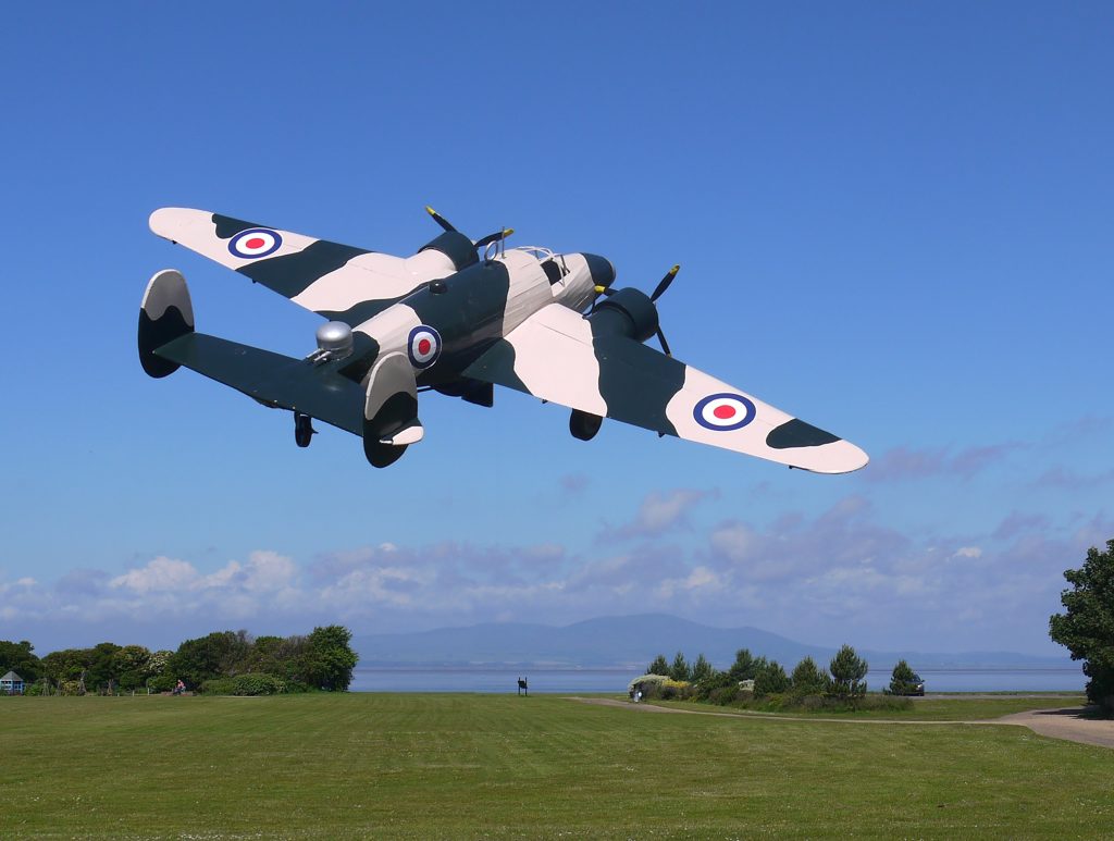
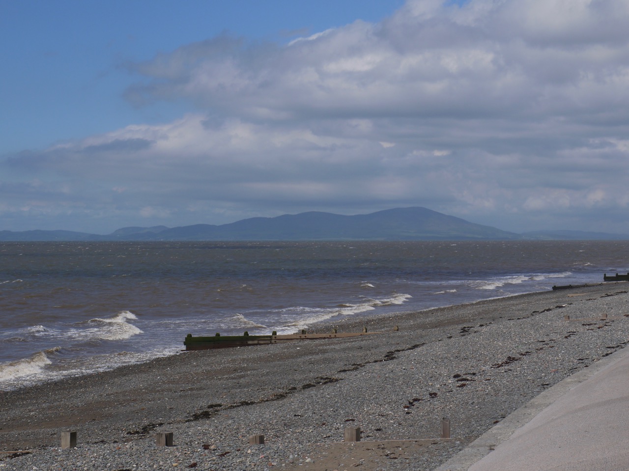
Across the bay Grune Point was just visible. I found myself thinking that it should perhaps be Grüne Point, but set aside concerns of umlauts when I remembered the area’s grim history. During WW2 these waters came to be known as Hudson Bay because many of the Lockheed Hudson bombers based at RAF Silloth were lost here. The Hudsons tended to sink rapidly after ditching, possibly because their bomb bay doors buckled on impact and the treacherous local tides and shifting sands often made rescue impossible. Research by Ian Tyler shows that a staggering 1,833 men were lost due to their aircraft crashing in the Solway during ww2. At low tide it is still possible to see the remains of some of these aircraft.

There is not much to Anthorn village itself. Even the old chapel has been taken over by a private house. There are older buildings many looking to have farming origins, a couple with water pumps (defunct, I presume) in their yards, but many of the houses look to be ex-military. Before the radio station was here, Anthorn had an airfield operated by the Fleet Air Arm as HMS Nuthatch. Its name in line with a tradition of naming RNAS air stations after birds – e.g. RNAS Prestwick is HMS Gannet, and some further examples can be found here). I must admit that when I looked at the list I had not realised some of them were birds. I am wiser now. The old runways and taxiways of the airfield are still visible though they are slowly losing their battle with nature. A taxiway beside the road were I paused to remove waterproofs was covered with flowering stonecrop.

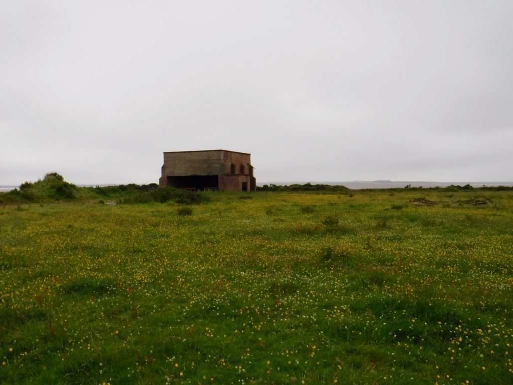
Other legacies of the military airfield are several buildings on the airfield’s perimeter. We speculated on their purpose but could not come up with any convincing possibilities. Most are now repurposed into some sort of agricultural use. A little research on returning home has revealed these to be WW2 era “shooting-in butts” which were used to test aircraft mounted machine-guns. 

WW2 shooting-in butt

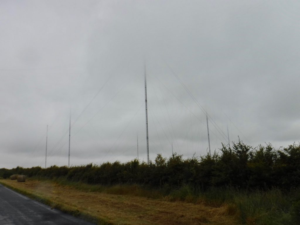
The area is dominated now by the 13 huge radio masts of the Anthorn Radio Station. Its LF transmitters broadcast the National Physical Laboratory’s time signal for the U.K. (the ‘pips’) and support eLORAN navigation systems, while VLF which can penetrate seawater is used for communication with submerged submarines. These ‘very low frequencies’ are ‘long-wave’, so I wonder whether the old tale of our nuclear submarines being able to tell if the country has been destroyed by listening for BBC Radio 4 (on long wave) might have a grain of truth. You might be able to see from the photographs that the tops of the 227m masts were lost in the clouds as we walked by.

Anthorn masts
Anthorn masts

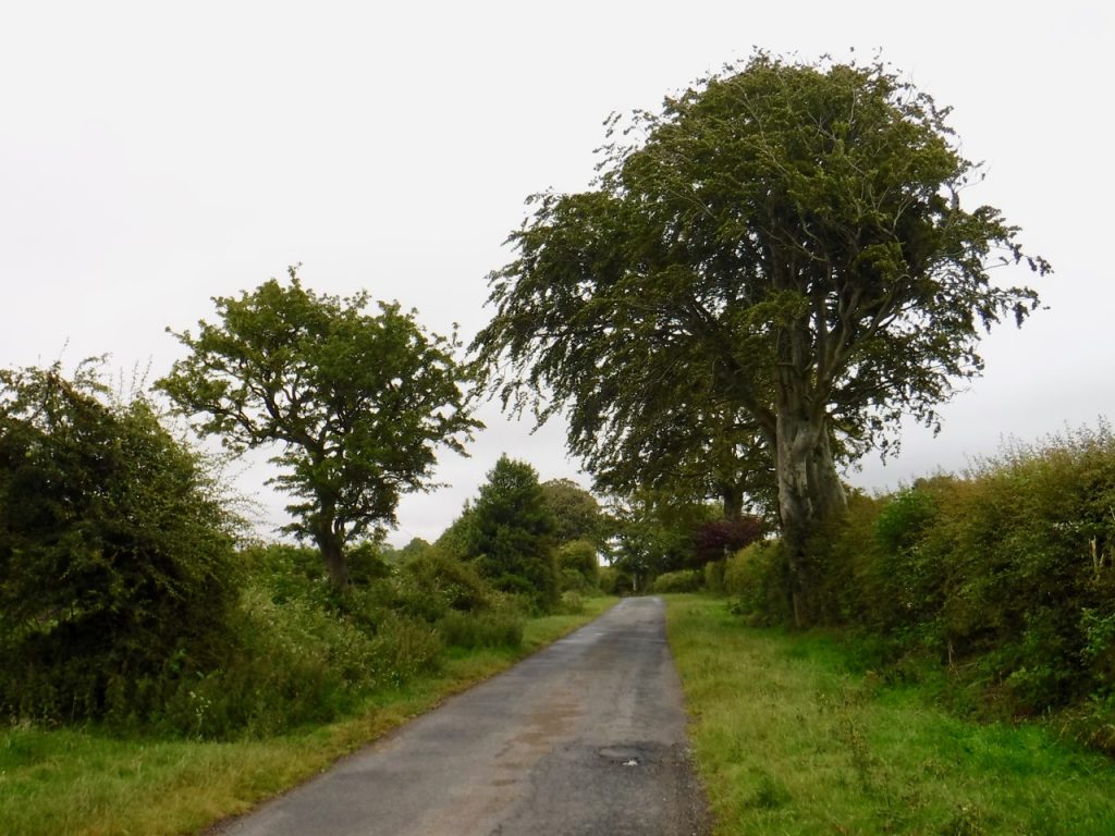
This photograph shows the minor road we were walking along. Despite the appearance there were quite a few cars along the way. The beech tree on the right had a huge trunk and must be several hundred years old.

the old beech

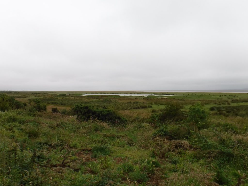
Once we reached the northern part of the peninsula there were larger stretches of salt marsh between us and the Solway mudflats. I still find it strange to think that Edward I’s invading armies would have crossed into Scotland across the Solway. Perhaps the water channels were different then.

Saltmarsh poo
Saltmarsh Pool
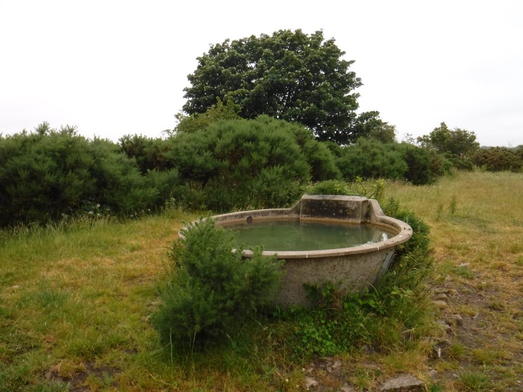
A roadside Bath

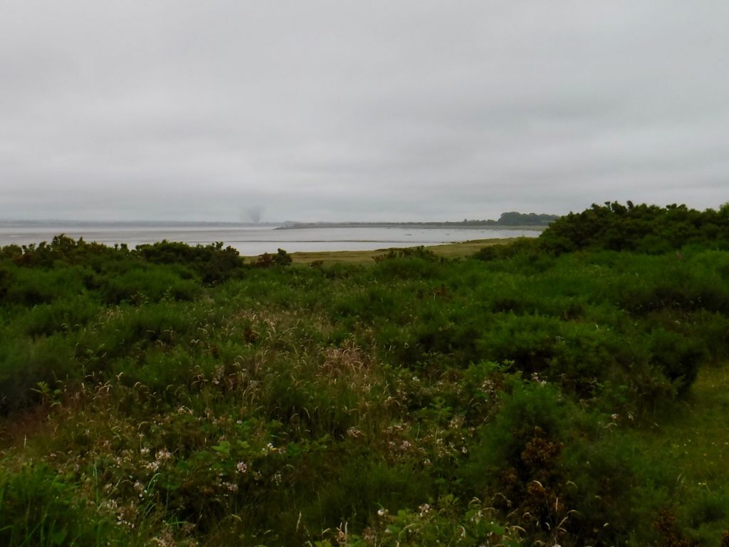
As we approached what remains of the railway viaduct we noticed a strange cloud over Annan I think. I only had my wet weather camera which does not have any optical telephoto so the photographs are not especially clear. Presumably it was from a fire but it was shaped like a tornado. I looked about at the nearby terrain and wondered where we might shelter if it was. There was no shelter so I think we would be done for.

Viaduct and tornado

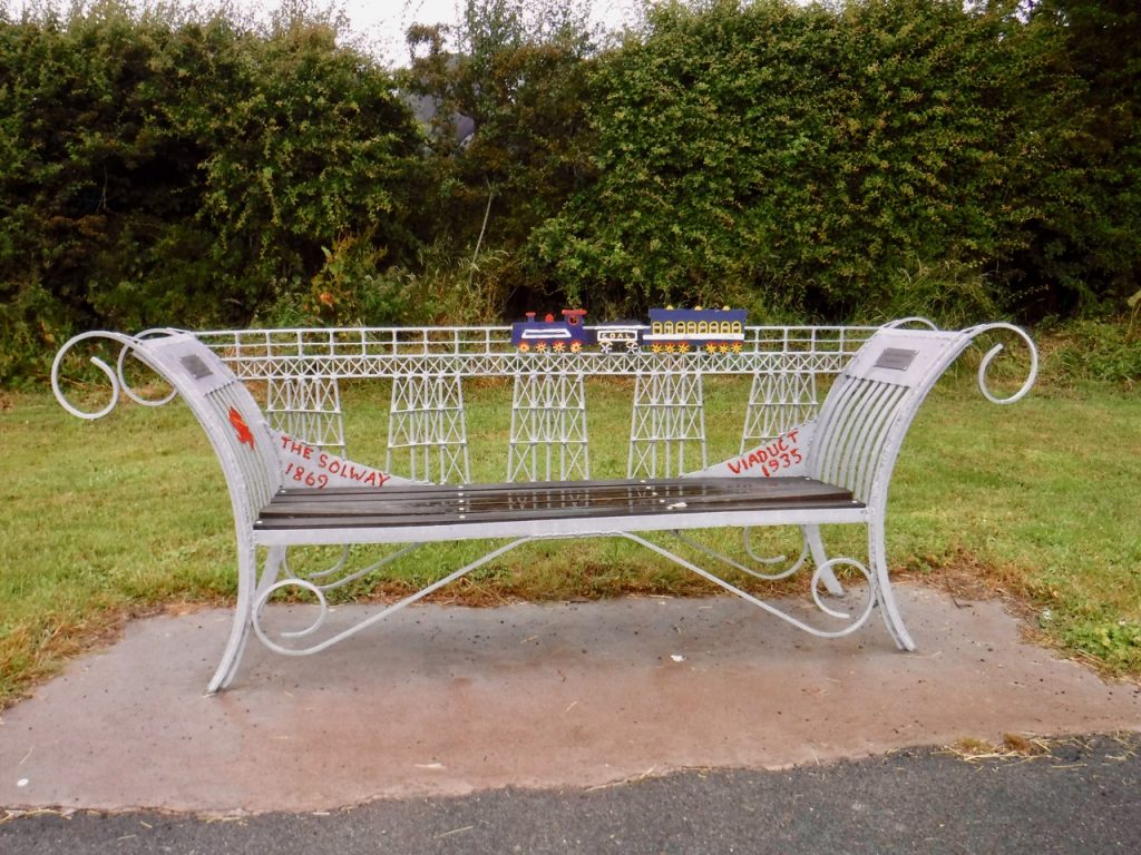
The Solway Rail Viaduct was in use between 1869 and 1915, carrying iron ore from the mines of West Cumberland to foundries in Lanark and Ayrshire. Falling rail traffic forced its closure in 1915 and the viaduct was demolished in 1935. There had been proposals to convert it into a road bridge, but by that time the structure was in poor repair. It is interesting to think how such a road might have altered the areas on both sides of the Solway. The only memorial to the viaduct was this bench back in Anthorn village.

Anthorn bench

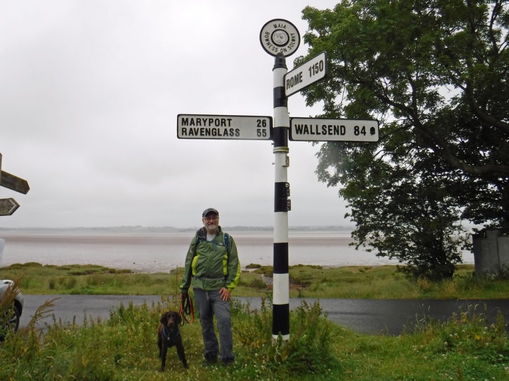
The Road sign where we had begun our Hadrian’s Wall walk in 2017 marked the end of our 2019 Hadrian’s Coastal walk. It seemed fitting to celebrate the accomplishment with a photo.

End of Hadrian’s Coastal Walk

Overview of Hadrian’s Coastal Route

[sgpx gpx=https://www.screel.co.uk/walks/wp-content/uploads/2019/07/RK_gpx-_2019-07-09_1026.gpx]

Posted in Cumbria | Tagged , | Leave a comment

Hadrian’s Coastal Route 7: Paths long neglected and meadows unmown

10.37 4h 54m 33m ascent

An’ ah’ve thowt o’ auld friends that have wandered by Waver,
An t’ days o’ lang sen when we’d youth on our seyde,
Bit theer’s some o’ them sleep in ‘at abba, i’ churchyard,
An’ theer’s some o’ them scattered through ways far an’ weyde

Thomas Ellwood

Criffel, sitting on the western horizon like a paused sunset, was our companion for much of this trail. But now our attention was drawn towards Anthorn’s radio masts, which shifted around like a compass as our direction of travel changed. We walked beneath a grey sky but in warm summer air. There had been heavy thunderstorms the day before and the the rain machines were taking a well earned break.

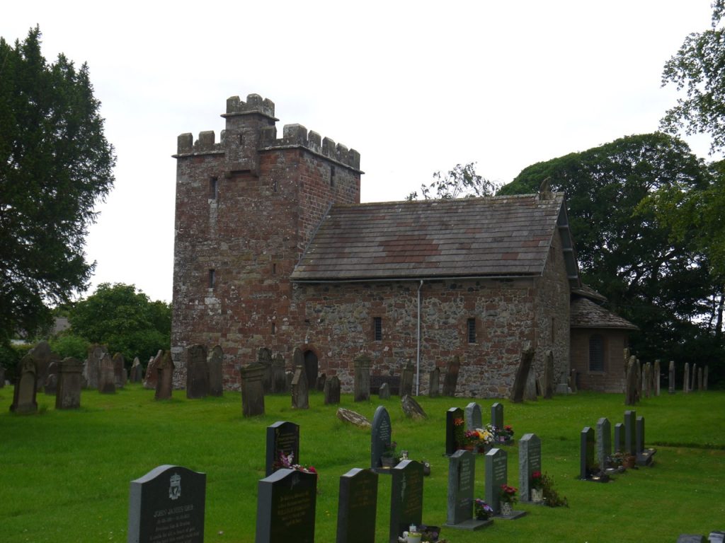
We began at Abbeytown, and since this was planned to be a relatively short walk we took a dawdled to look at the old Abbey. The inscription above the door reads Chamber fecit fieri hoc opus Anno domini mdvii. It originally read ‘Robertus Chamber’, who was the Abbot. It translates as ‘This work was done by Robert Chamber 1507.’

We left the churchyard to follow the B5307. A “public footpath” sign but with no discernible footpath on the ground, showed where last week’s walk should have emerged. The day was a little cool at first but it soon warmed up and my choice of one layer (t-shirt) proved correct. The hedgerows were well filled with wild roses and though the honeysuckle and meadowsweet were in bloom, their scent was not noticeable.

The River Waver was now a diminutive waterway which could have passed muster as a large drainage channel. On closer inspection though half of the greenery on either bank is actually growing in the water so the actual river is perhaps three times as wide as it seems. A  two lane road bridge spans the river but it has no space for a pavement, so we hurried across when the flow of cars thinned.

Most of the day was road walking and the traffic was busy enough to force us on to what verges there were quite often. The vast majority of drivers gave us a wide berth. But not all. In some places I was wary of stepping off the road because it was unclear if there were ditches hidden beneath the grass. The road winds around the corners of fields reflecting field boundaries of bygone days. This gives them an old fashioned feel and if the traffic were similarly old fashioned (horses and carts) our walk might have been carefree. But it is not the nineteenth century, cars are fast and quiet, and hedges mean drivers cannot see beyond the bends. So extra care is needed when walking.

Our route took us off the busy B5307 onto a minor road that skirting the marshes near Salt Coates but when we arrived the road was closed. Not a new experience for us. There was no explanation, and for some I recalled  a photograph of a huge crater caused by a WW2 bomb going off in a field in Germany this week but dismissed bombs as a likely cause for this road closure. More likely the road had been swallowed by the marshes. We decided to assume the closure was for vehicles. We were pedestrian (the noun, not the adjective).

The road being closed I let Christy off his lead, free to snuffle about in search of sticks. The road crosses the pre-Beeching railway line, wide enough to accommodate two tracks. Ahead, and surprisingly close, we could see Anthorn’s masts. Actually about 3 miles away.

As we approached the marshes we spotted a track extending out beyond the road but once we drew closer we could see there was no track, just two parallel fences. The road turned left running beside the marsh with fences both sides but a wide verge. The fences were hung with flotsam showing how high the tides can carry the water here. 

Where the road swings away from the marshes, close to Salt Coates farm, our way was blocked. We had found the reason for the road closure. A lorry was dumping its load of tarmac and workmen were laying it. There was no way past. I investigated the possibilities of getting into the adjacent fields but had to categorise these as ‘impossible’ on one side, ‘difficult’ the other. Audrey assigned the task to ‘not doing it’. We decided to hang about until the workmen had finished this particular batch of tarmac, but as time wore on it was clear that would be quite some time, so we asked them if it would be safe to squeeze by. Luckily there was just verge that the dog could avoid walking on the hot tarmac. Given the difficulty getting him to walk on the verge, and the close relationship between verge and ditch I perhaps should have just carried him. Anyway, we got past the tarmac without him treading on it or me slipping into a ditch. A double ended JCB a little further along spotted us coming and paused while we passed. 

Then we were back on the B5307 and in no time at all arrived at Newton Arlosh, built following the 1303 inundation of Skinburness. We had both read the book containing that phrase and been intrigued by it. Inundation suggests something a little more than just  ‘flooding’, including perhaps a suggestion of being overwhelmed. I vowed to research the 1303 inundation. It would appear that Skinburness and the way leading to it were washed away in flooding. The coastline would likely have been further west than in the present day. There had been plans to build a church there but when the village was lost, the church was built instead at Newton Arlosh. Those were dangerous times for reasons other than natural disasters so the new church, was also intended to provide a refuge from “the hostile invasions and depredations of the Scots”.

The name ‘Arlosh” suggests it was built on land cleared by burning. It is strange now to think of this area as forested, though perhaps the burning was of scrubland. Complementing the fourteenth century Anglo-Norman Church, St John’s is a twenty-first century community defibrillator. There is also a pub, the Joiners Arms, where the road forks.

We took the road signposted to Powhill and characteristic RAF buildings ahead at Kirkbride airfield. We crossed a bridge which seemed not to actually cross anything but would once have spanned the railway of which no sign remains now. The large pond here was my reminder for where we needed to leave the road.

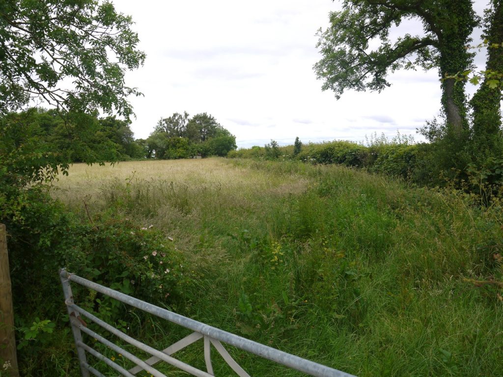
A signpost indicated a public footpath, but pointed across an overgrown field defended by a chaste gate (did not swing). It didn’t look to be a path so we walked on to where there looked to be a break in the hedgerows further along the road. 

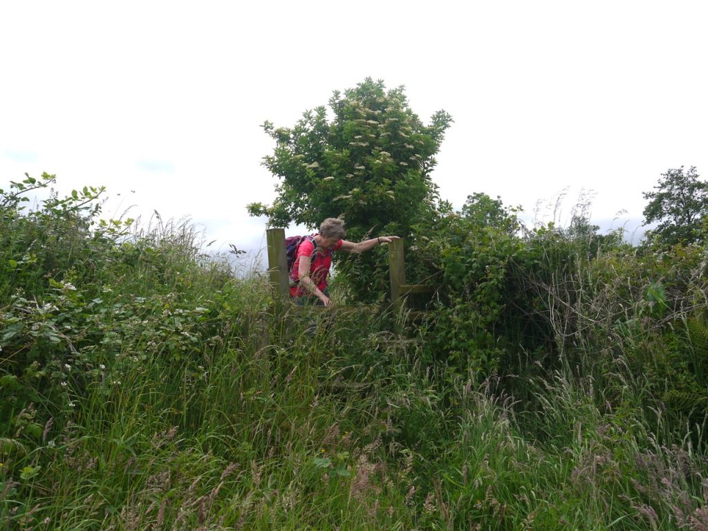
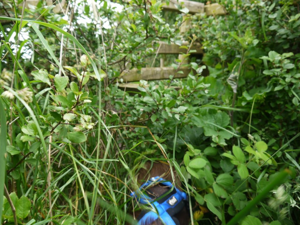
We reached Longlands, found no other path so headed back to the original sign and walked through the long grass. Another rusted gate bordered someone’s lawn. But across the lawn, behind the house, I spied another public footpath sign, so over we went. There was a stile hidden in the corner, almost lost amongst thornbushes and nettles. On its far side a deep ditch. Was this the way? We thought not, but could find no other way out.

There is a much overgrown dyke beside the ditch. Monks’ Dyke on the map. It was difficult walking, the ground hidden, uneven and narrow with a sharp drop onto a barbed wire fence at the left or into a deep ditch on the right. The plants behaved like evil spirits eager to rob us of comfort, stinging, pricking and whipping at every opportunity. I fought through them and found another stile, this taking us to easy walking through scented mayweed beside a field of wheat. Relief.

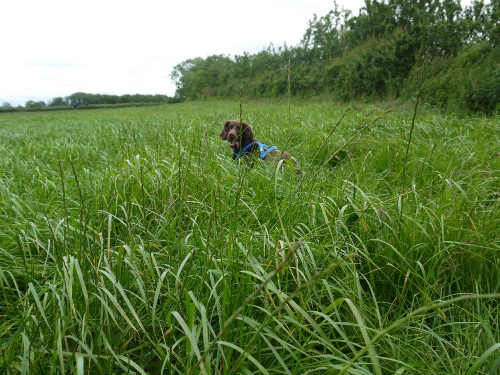
But easy did not last. The next stile, similarly hidden within tangled thorns and guarded by tall nettles, was also adorned with barbed wire. A small plaque reassured us we still on the public ‘footpath’. We stepped into a virgin meadow, its tall grass rippling in the gentle breeze. The dog bounced along like a springbok, while we stepped high as if struck with foot-drop.

Another stile, of the same ilk, and another unmown meadow. The grass sapped our energy. My hips groaned, foreseeing coming stiffness. Audrey, walking behind me, was reciting from a thesaurus, “stung, scratched, bruised, nicked, gashed, pricked, whipped…” . At the next hedge, there was neither gate nor stile. No way through to the next field. We walked up to the northern corner. No escape there either.

We paused to cool our tempers with cold water. The map was consulted and with a sigh of resignation we made our way back to eastern corner to search more carefully for a way through. We did find a rusting gate in the SW fence but it was locked shut and backed up with barbed wire. Beyond it another overgrown jungle.

We chose to abandon the ‘public footpath’. There was definitely a gate in the NW corner and a farm in the distance beyond that. On the basis that the farm had to have an access track we headed that way. The gate opened onto a track along the route of the disused railway. We needed to go east but our choices were NE (overgrown and long unused by the look of it) or SW (had been used by vehicles). Having not packed a machete or scythe we could only choose SW. This meant we were heading in the wrong direction but sometimes that is the only way.

The track brought us to our old friend the B5307 not far from Arlosh House Farm. The Anthorn masts were now behind us, but we were walking in the right direction and the road was easier walking than the meadows.

We were on the look out for a place to sit for lunch and a kind chap at the Kirkbride Bowls and Tennis Club allowed us to sit on one of their benches. In my mind we had almost finished the walk. The Wampool bridge was just up the road, and from there it was a short walk back to the car at Anthorn. So it was with renewed vigour that I strode out for the Wampool Bridge.

There is a single lane bridge across the Wampool, and a sign warns that the bridge is weak. It does not stretch to a pavement so we had to time our crossing carefully. The river flowed well belw us but flotsam on the roadside fences showed how high the waters might rise. I had thought the Wampool was Woden’s Water, but I see it actually takes its name from the words for ford, vaðill, and river or water, pol. So presumably Wampool was originally a place rather than a river.

The Watters o' Wampool, hoo slowly they gleyde, 
Past meedows an' marshlands, ta Solway's dark teyde, 
The sea suin surrounds them, theyre lost in its waves.
The watters o’ Wampool hev gean ta their graves.

John Tiffin Coulthard

Across the bridge is a junction. We read the sign. Right: three miles to Bowness, left: two and a half miles to Anthorn. “Two and a half miles?” I squeaked, incredulous. How could that be?  By now even the dog seemed to be tiring, walking behind me rather than forging ahead. But we trudged on, the masts revealing more detail as we drew closer.

[sgpx gpx=https://www.screel.co.uk/walks/wp-content/uploads/2019/06/RK_gpx-_2019-06-25_1013.gpx]

Posted in Cumbria | Tagged , | Leave a comment

Hadrian’s Coastal Route 6: Great Expectations

11.71 miles 6h 16m ascent 45m

…and that the dark flat wilderness ..
intersected with dykes and mounds and
A league and a league of marsh-grass, waist-high, broad in the blade, 
Green, and all of a height, and unflecked with a light or a shade,
Stretch leisurely off, in a pleasant plain, 

Marshes of Glynn, Sidney Lanier

This was a walk of several distinct areas each with its own charms and challenges. But for me this was the marshes walk. The salt marshes were only part of this day’s effort, but they had worried me more than any other section when planning the route. I had paid very close attention to the weather and tides, and though my escape routes were planned, I was still not sure I would cross the marshland when we started walking that morning. I am pleased we did. The day’s walk left me with a feeling of accomplishment but it was not without its challenges. 

Continue reading
Posted in Cumbria | Tagged , | Leave a comment

Hadrian’s Coastal Route 5: What spires, what blooms are those?

11.2 miles 5h 53 m ascent ?m

Maryport-Silloth

The was a real coastal walk – sand, shingle and marram grass. The wind was just enough to lift the dog’s ears as he raised his nose to sample the wafting scents but the raindrops it had blown onto the windscreen as we arrived were the last we saw. Across the water Criffel was peeping out beneath the clouds readying itself to be our companion for the day.

Continue reading

Posted in Cumbria | Tagged , | Leave a comment

Hadrian’s Coastal Route 4: Promenades and Sculptures

11.0 miles 5h 14m ascent 79m

Workington – (just past) Maryport

Rain was forecast so I couldn’t say the day’s weather was unexpected, but early morning sunshine had tempted me into hoping otherwise. We began where the last leg left off at the Railway station in Workington. The ox-eye daisies by the car park were still splendid. Indeed as we set off my hopes for the weather were undashed. 

Continue reading

Posted in Cumbria | Tagged , | Leave a comment

Hadrian’s Coastal Route 3: The Iron Coast

10.81 miles  4h 57m ascent 114m

Whitehaven-Workington

No folk fled the flood,
no flags furled or spirits failed –
one brave soul felled.

“Cockermouth and Workington”, Carol Ann Duffy

I don’t recall having been to Workington before and having friends in Whitehaven has perhaps skewed my views about the town. So it was, as we drove into Workington I would not have been surprised to find it to be in black and white, with men in flat caps leading starving pit ponies to knacker’s yards, beshawled women scrubbing steps of coal dust and barefoot urchins begging for jam sandwiches, all partially hidden in the swirling smog. But the town was in full colour, the road signs bright and cheery, the sky blue, the children shod and ne’er a flat cap or pony to be seen. Continue reading

Posted in Cumbria | Tagged , | 2 Comments

Hadrian’s Coastal Route 2: Country roads and Clifftops

12.96 miles 6h 15m 430m ascent

Beckermet-St Bees-Whitehaven

But like not unto any one of these
Is that tall crag, that northward guards the bay,
And stands, a watchful sentry, night and day
Above the pleasant downs of old St. Bee’s.

Thomas Edward Brown


This proved to be a slightly longer walk than expected. (I had originally ended that sentence with the word predicted rather than expected, but suspect my walking companion does not expect that which I have predict). This was no great burden the excess being but a few minutes stroll but such was the delay we found the ice cream shop at the Beacon closed. But it was a glorious day nevertheless. Continue reading

Posted in Cumbria | Tagged , | Leave a comment