
7.8 miles 3h 24m 450m ascent
 Route: SUW from near Craigbeck (low level route) then along the Selcoth Burn to Sailfoot
Despite completing the SUW coast to coast in July, I was left feeling that the job wasn’t done until we had walked the two alternative sections. We had been back to walk the alternative route between Cogshead and Wanlock Water, and now we were ready to finish the last remaining section. When walking the Beattock to Potburn section we had previously used the high level route over Croft Head with its stunning views of the Moffat Hills. Now we needed to walk the low level route through Garrogill forest. This low level route is slightly longer by a few hundred metres but with 250m rather than 400m of ascent. Rather than doing the whole Beattock to Potburn section I chose a shorter walk, joining the SUW near Craigbeck and heading back along the Selcoth Burn.
Audrey, Conor, myself and Eddie (the pup on his first 4+ mile walk) set off from the A708 near Craigbeck, along a minor road and joined the SUW after crossing the bridge over Moffat Water. An SUW sign here also sports a Romans and Reivers marker so hopefully that route will have way markers when we come to do it. I took out the camera to get a photo….and it wouldn’t turn on. I had forgotten to put the battery in it. Luckily the back-up camera was charged and looking on the bright side, I could carry the point and shoot in my pocket rather than having the heavier camera round my neck.
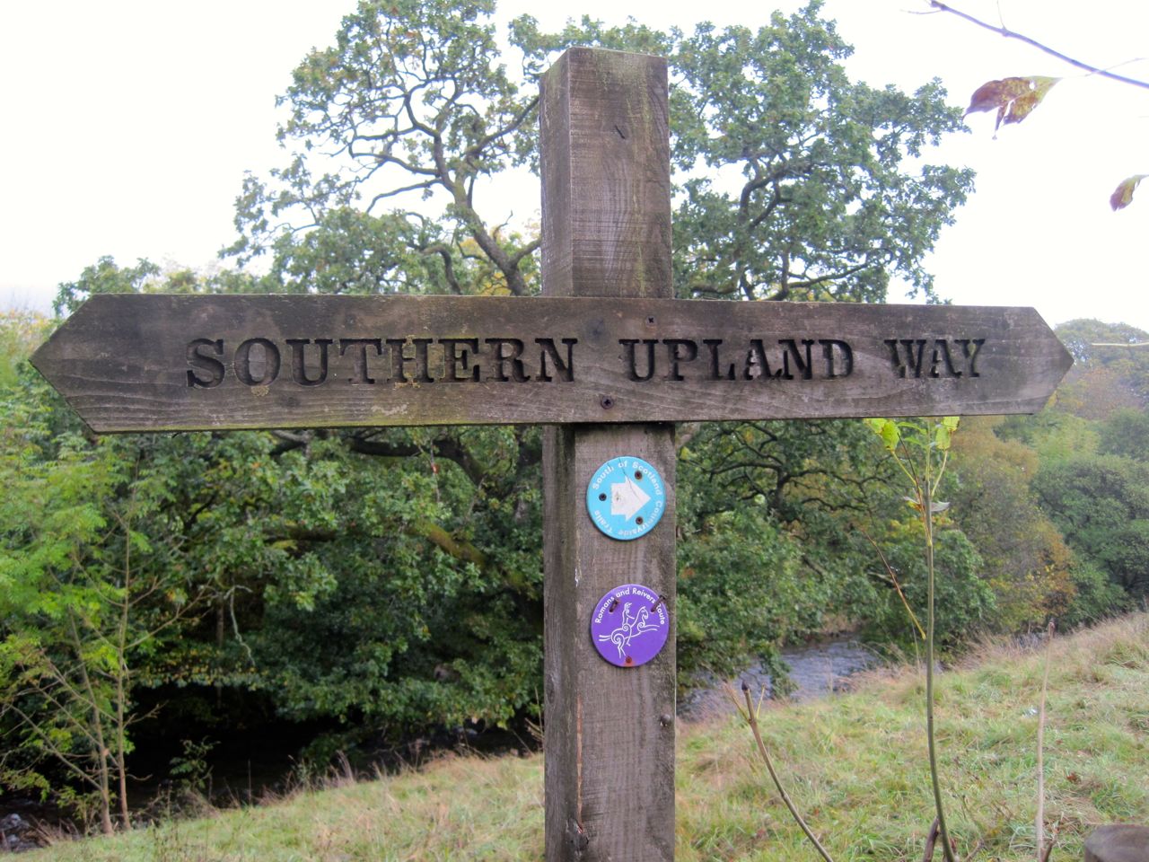
SUW sign with Romas and Reivers marker
So with bigger camera stowed, and the wee camera in my pocket, I took Eddie through the gate beside cattle grid and we followed the farm track up a gentle slope. The cows were on the far side of the field and Eddie didn’t notice them being more interested in the nearby cow pats. There is a rather surreal gate here with a “lock the gate” sign and a STOP road sign just beyond it. This gate even if locked, and it was, can be walked or driven around since there is no fence at the side of it.
At the top of the field we came upon some sheep and a long necked black creature that Eddie found frightening. We can now add llama to the list of animals seen during our SUW walks. We past the last livestock here and Eddie was free to roam, taking the strain off my arm.
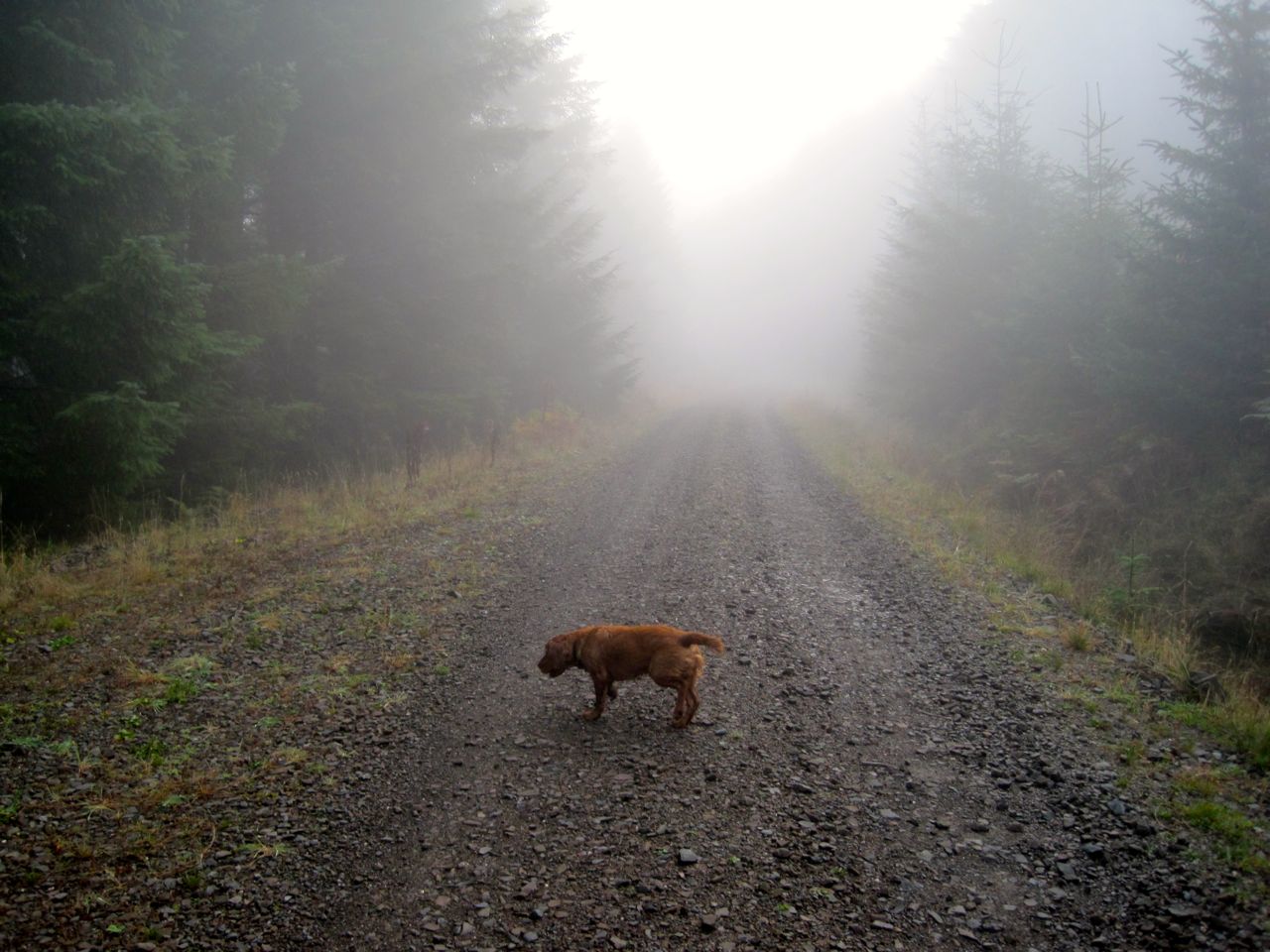
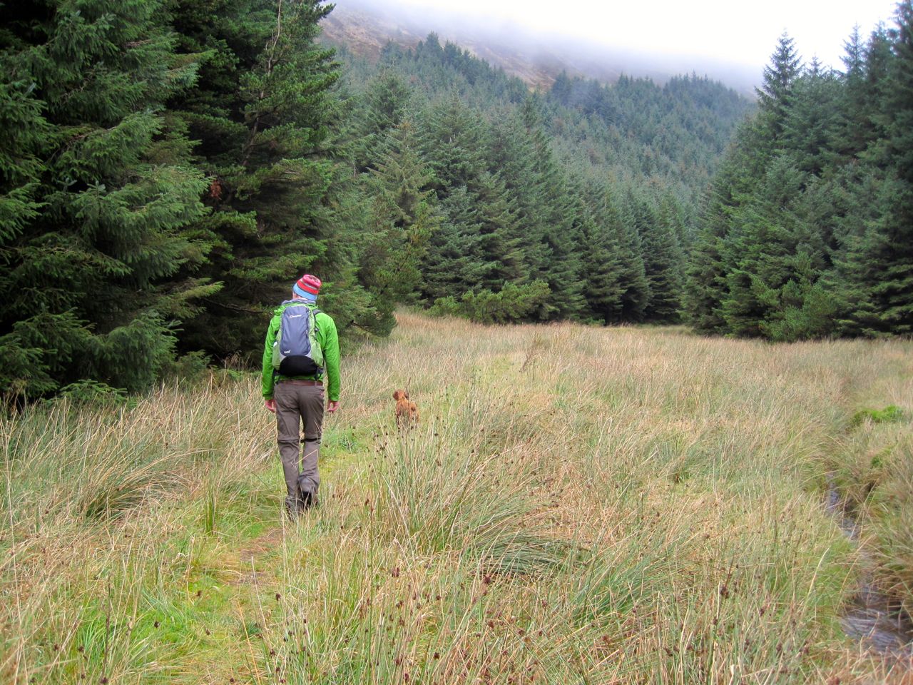
Misty forest
When we were last here there were good views along the Moffat valley but unfortunately we were walking in mist so there was little to see beyond our immediate surroundings and by the time the sun had burned it away we were in the valleys.
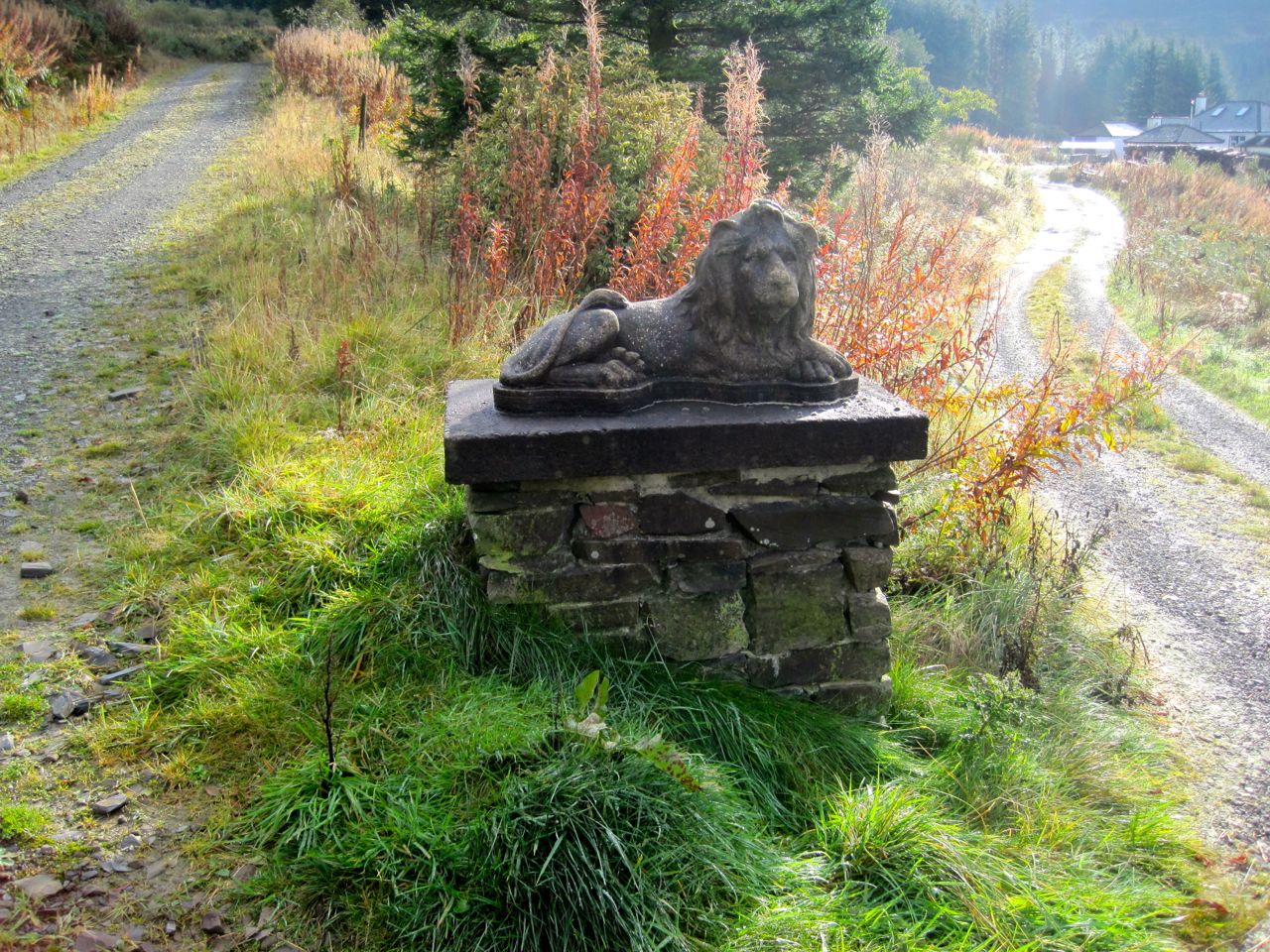
Craigbeck Hope
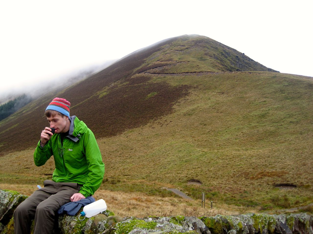
The walk was a slow climb along forestry tracks initially enclosed among the trees and then more open once we crossed Cornal Burn. Soon after passing the place where the SUW routes diverge we came to the isolated buildings at Craigbeck Hope with their Lion topped gateposts, a good excuse to stop for photos and a breather.
After a further mile and a half the forestry track dog legs, the Romans and Reivers route continues on the track but the SUW leaves on a narrow path through a forest break beside Wamphray Water. The ground within the dog leg was a profusion of different greens, looking too bright to be real but the point and shoot didn’t do it justice.
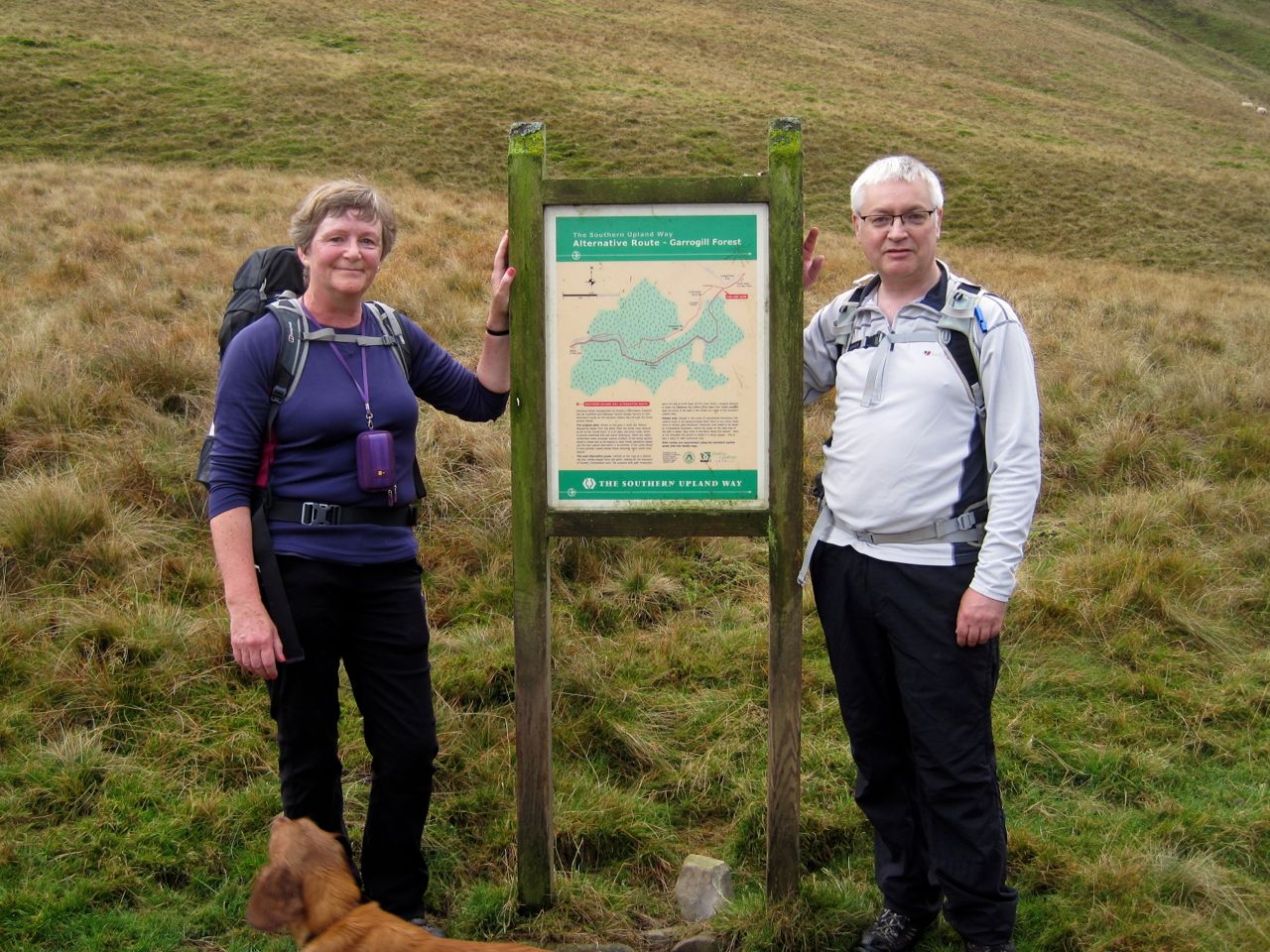
 Eventually we could see Croft Head above us and Craigmichen Scar ahead. An information board stands where the alternative route join. We stood there, having now completed all of the SUW, “every inch” as Audrey put it. The SUW’s end is rather elusive. I felt I had reached the end when I stood with the sea lapping my feet at Cove Harbour, but later stood beside an information board claiming to be the end and later still, the Mercat Cross in Cockburnspath which the official guide has as the end. But it is done now and I feel the spell that had driven me along the SUW has been lifted. I am released to walk other paths if I choose.
Cat Shoulder
The end of the SUW it may have been, but not the end of this walk. We had a late elevenses/early lunch in the sheep fold below the zig zag path of Cat Shoulder. It was not raining but the stones of the sheepfold suggest that wet is their usual state. The moss growing on them looked like seaweed.
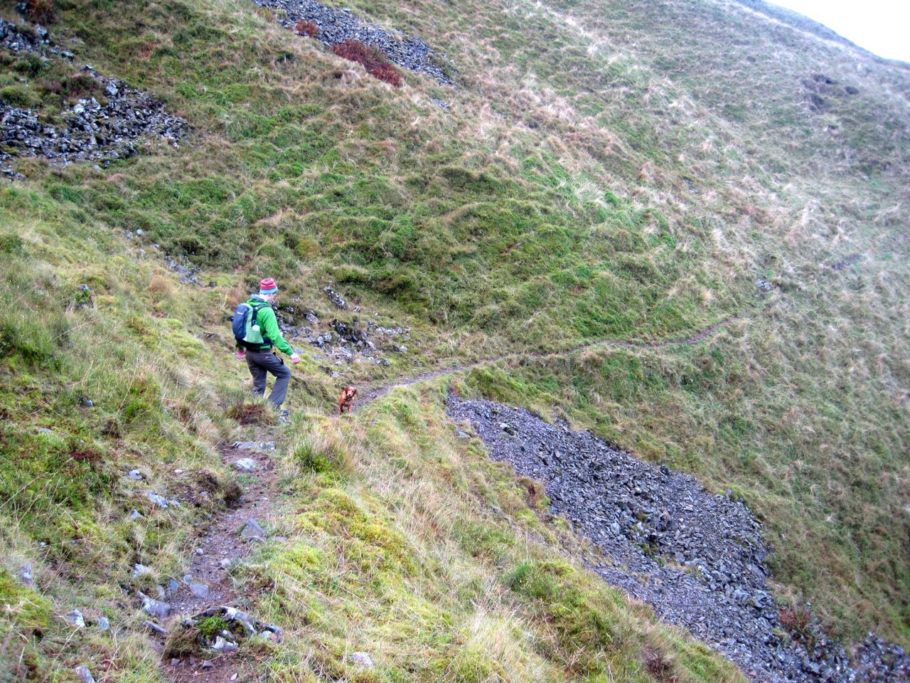
Narrow track above Selcoth Burn
There is a narrow track along the Croft Head side of Selcoth Burn. This crosses a steep scree slope and at times winds along rocky sections that are eroded in places. I wouldn’t want to walk here in bad weather but it soon levels out. We were able to cross the burn and join a farm track on the other side that took us down to Selcoth and then Sailfoot.
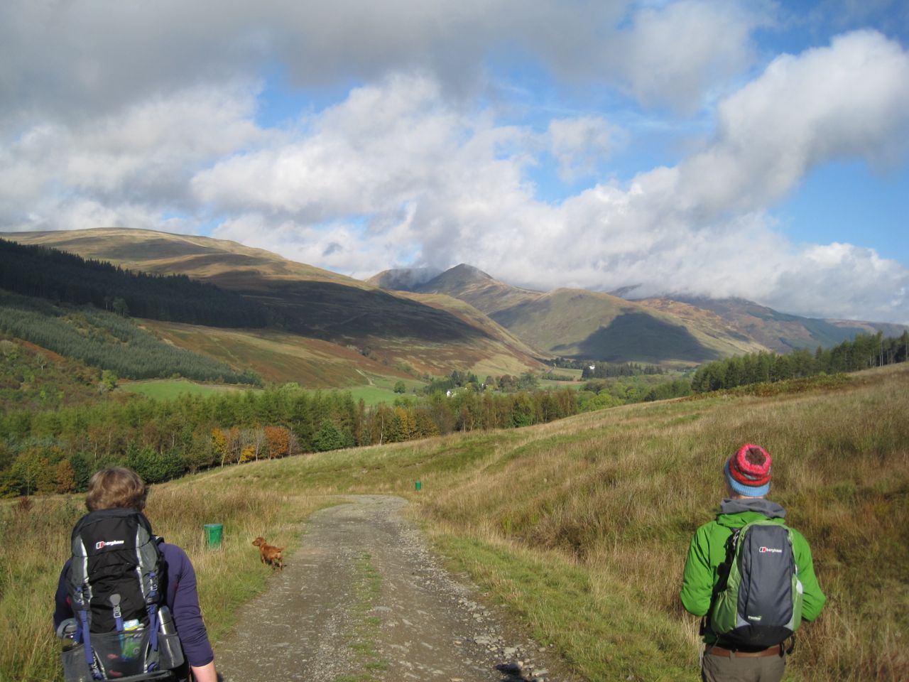 By now the mist was gone and the sun shining on the Moffat hills. Eddie had a good time jumping through the bracken, and luckily he didn’t notice the deer on the track ahead of us.
SUW: done.
[sgpx gpx=”http://www.screel.co.uk/walks/wp-content/uploads/2014/10/RK_gpx-_2014-10-11_0927.gpx”]
