9.0 miles 5h 29m 552m ascent max elevation (Queensberry) 697m
 Route: Kinnelhead-Blairmark-Harestanes Heights-Mount Glass-Pot of Ae-Lochanhead
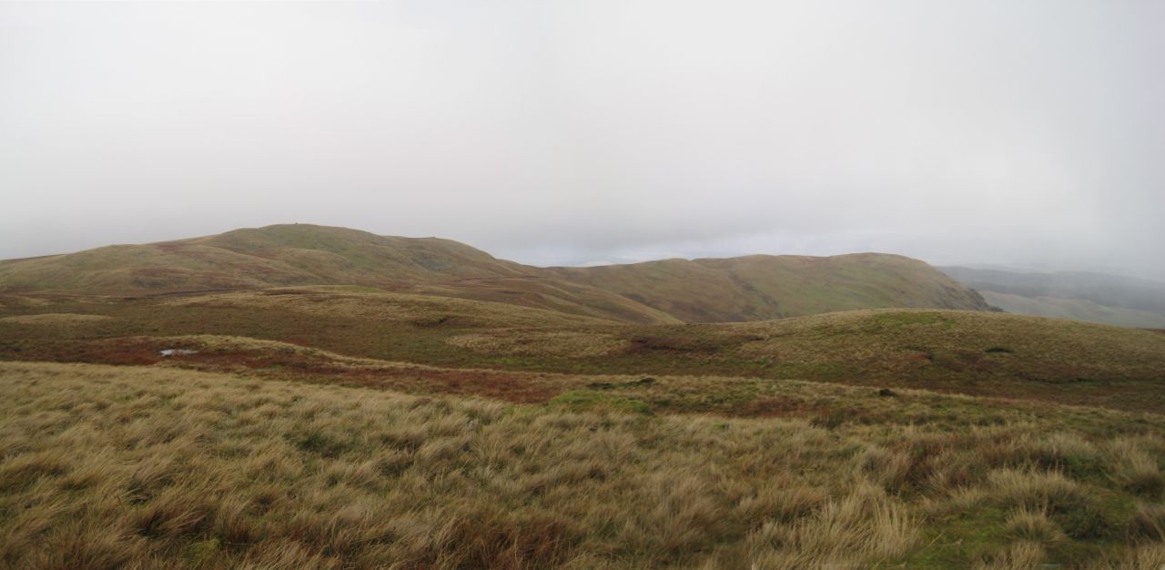
A gentle stroll up Queensberry from the NE, taking in Harestane Heights (picture above). The forecast said that any rain would clear up after lunchtime, but the weather didn’t get the memo.
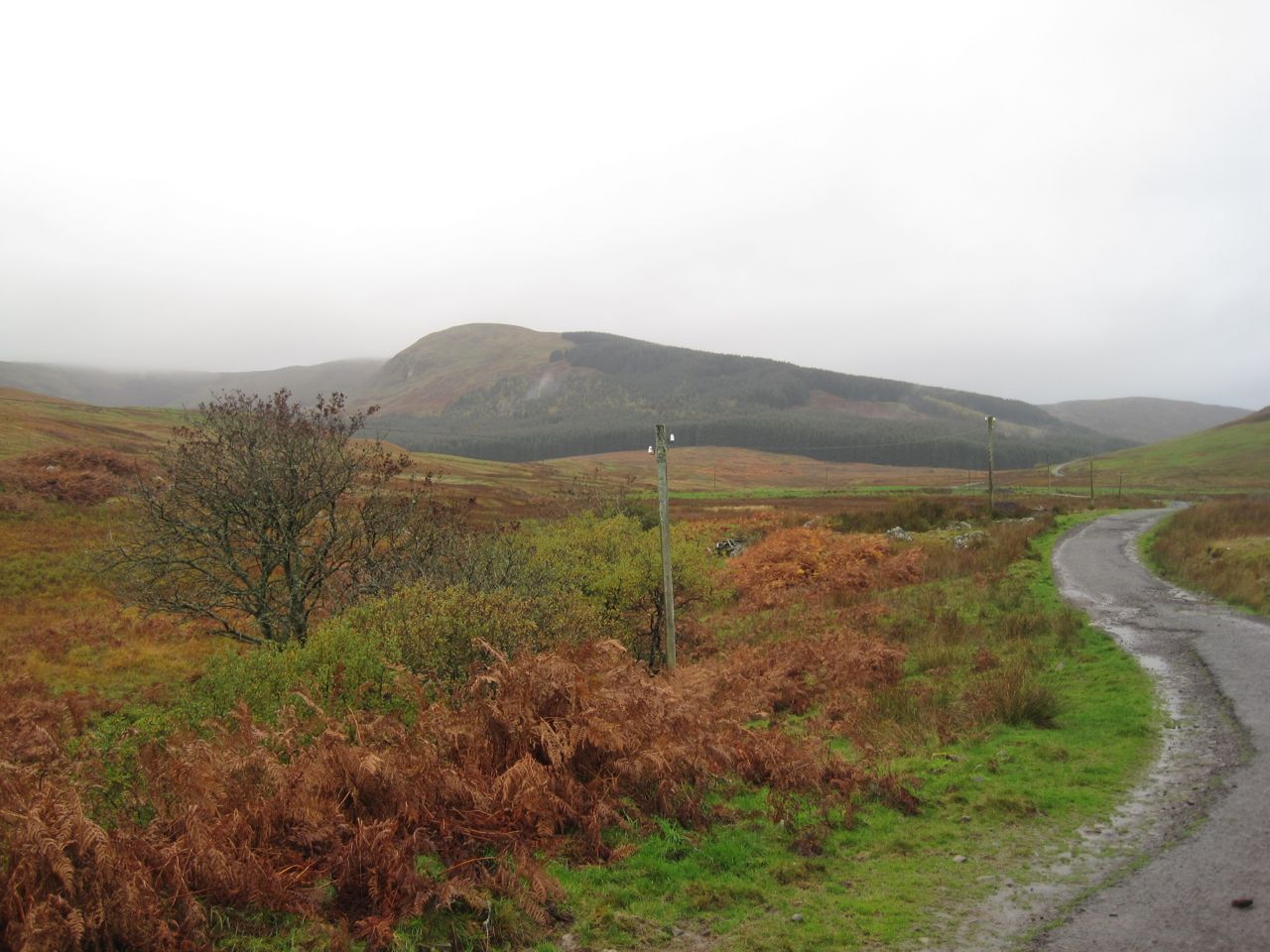
By the time we had driven up the Crooked Road the rain was falling heavily and it was clear we were in for a walk in waterproofs. I had sudden anxiety that I had forgotten my jacket, which would have meant abandoning the walk before it started, but it was there on the back seat so the walk could go on. I had intended to park at a very large cleared area a kilometre short of Kinnelhead but it now has large rocks around it preventing vehicle access. So on we drove but at the bridge over Kinnel Water the road has a “private road” sign so we turned back and parked just off the public part of the road. Getting our waterproofs on in the car was a bit of a challenge but we succeeded and set off with Eddie on his lead (until we were away from livestock).
We walked at first along the track following Kinnel Water. One route I had read suggested following Threepenny Burn and then climbing Craighoar Hill but the steep slopes of Craighoar did not look particularly inviting. We walked on past an abandoned cottage at Blairmark and over a small bridge. Then the track started to climb across the northern slopes of Craighoar Hill. Below us a track crossed the burn on a footbridge and would head back to Rivox and the SUW, a good low level circular route for bad weather.
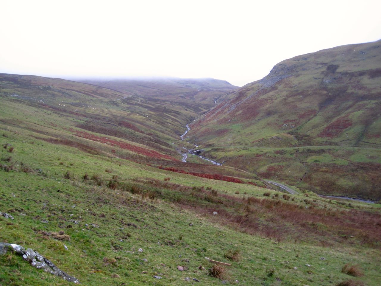
At a crossing of roads we went straight on until we were almost at the heighest point of the track. We paused at a gate here for a breather, much to Eddie’s annoyance, and the photo below is taken from there. Then we struck off directly up the hill and in to the mist.
I find climbing slopes in mist quite sapping. It is difficult to gauge how much further there is to go and there isn’t much to see other than the ground. So we just trudged on up. There is a fence not marked on the OS map and I thought it might mean we were close to the top of the ridge. It’s about two thirds of the way up. We needed to divert a wee bit to use a gate next to the tree line so there is little to be gained by heading more directly for Harestanes Heights unless you want to climb a barbed wire topped fence. There might be another gate for all I know, but we couldn’t see far.
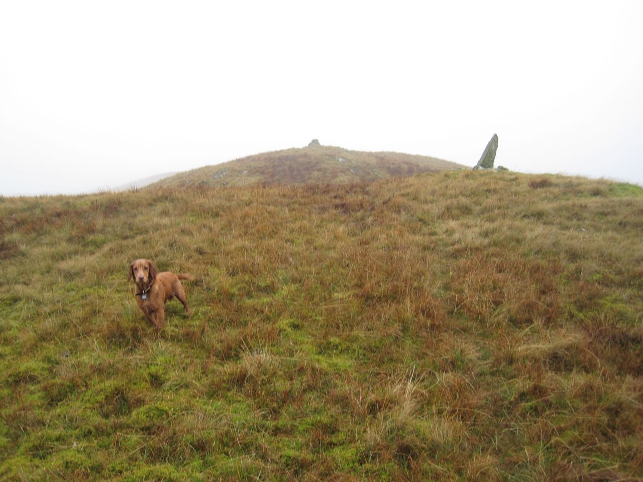 In better visibility I would have walked up to the edge of Craighoar Hill for the views but as it was, once we got to the top, we turned right for Harestanes Heights. We were given a brief glimpse of the ridge leading up with a couple of cairns visible. A moment later though they disappeared back into the mist and we pressed on with the wind and rain blowing in our face. It was around here thatI felt water running down my neck.
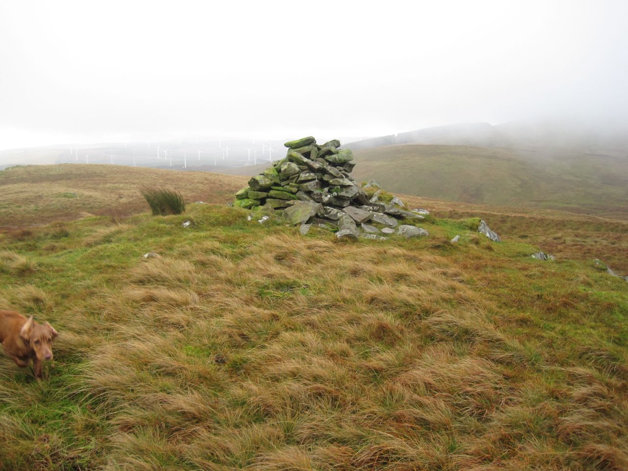
The two cairns we could see were not far away and when there we had another lifting of the mist for photos. Eventually we reached a sizeable cairn and checked the GPS to check where we were. This was the cairn at the 578m spot height of the unnamed hill between Craighoar Hill and Harestanes Heights. We left there on a compass bearing descending in the mist to a waterlogged col.
A drystone dyke barred our way up the further slope. As we drew closer I could see a gate but it seemed to be up against the wall rather than guarding a break in the wall. No photos of this unusual set up I’m afraid since the rain was keeping the camera under cover. I could see a short section of wall that had partially fallen so we headed for that but once there we found a new fence, with unrusted barbed wire running this side of the wall.
I walked up the the strange gate 75m or so to my right and found we could get between the fence and the wall and walk back to the fallen section of wall where we squeezed between the stones and the remains of an older fence. Why a vehicle sized gate has been put up against a wall escapes me.
Another cairn marks the top of Harestanes Heights but too small to offer much shelter. By then I could have done with a break and some carbohydrate but with the weather we decided to press on until we got better shelter. This meant I was in first gear.
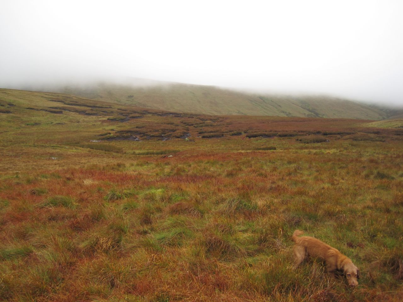
While coming down onto Fortypenny Moss we had occasional glimpses of Queensberry looming before us. Hills do look bigger in the mist so I tried not to get too dispirited. The higher ground of Fortypenny Moss has numerous peat hags so we accepted a little more descent and reascent, avoiding the hags. There was no escaping the marshy ground though.
Mount Glass now stood between us and Queensberry, a little more uphill before getting back into the marshy ground below Queensberry itself. My plan for climbing Queensberry was relatively easy. Head uphill, pass between two burns (Crook Burn and Hangingshaw Linn), walk to the acute angle in the wall/fence and then uphill to the summit. There did seem to be a faint quad bike track initially but that soon disappeared. Amongst the desolation, and lack of paths, there was a single well-defined boot print in the ground, so others had come that way.
The climb up Queensberry was a recurring cycle of seeing what looked like a large cairn at the top of a hill and then finding it was a stand of grass or a lone rock, and certainly not the top. With each disappointment we stopped briefly, gathered our energy, then pressed on. Then came the fence, and relief, since I knew we were now close to the summit.
A hare jumped out ahead of us and ran off with Eddie in pursuit, 12,000 years of domestication having failed to breed the predator out of him. The hare went through the closed gate but Eddie couldn’t follow so the hare lives to run another day. Eddie didn’t notice the vole (I think it was a vole anyway) that scurried across our path on the way down later in the day.
The ground changed becoming more rocky and less mushy and Eddie ran on ahead coming back when called but looking as if he had something on his mind. A few more paces on and I could see the problem. There were sheep on the summit of Queensberry, so poor Eddie went back on his lead until they had wandered off.
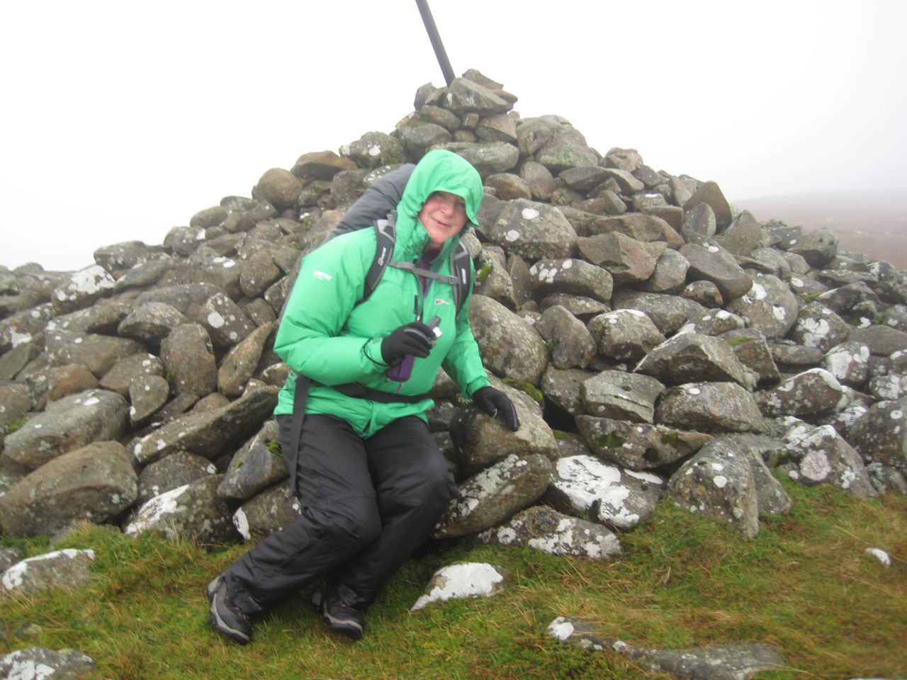
Queensberry was shrouded in mist, it wasn’t raining as such but the air itself seemed wet, and worse of all the wind was strong enough to blow Eddie aside and make it difficult for us to stand up without being buffeted to one side. This played havoc with our summit photos and there was no chance of setting up the camera with a timer.
We hunkered down in the stone shelter by the summit cairn, sheltered from the worst of the wind. The sandwiches and coffee were very welcome and we knew the worst was over. Ah, ignorance is bliss.
Fed, watered, and rested, we knew that it was all downhill from then on. As I have done on all my visits to Queensberry I took a bearing and we descended in to the mist. We were soon out of the wind and the cloud base was rising so we were soon able to see the way ahead. We followed the fence down to the Pot of Ae. This is a steep descent, not a big problem, except for the knees, but I wouldn’t want to attempt it in snow.
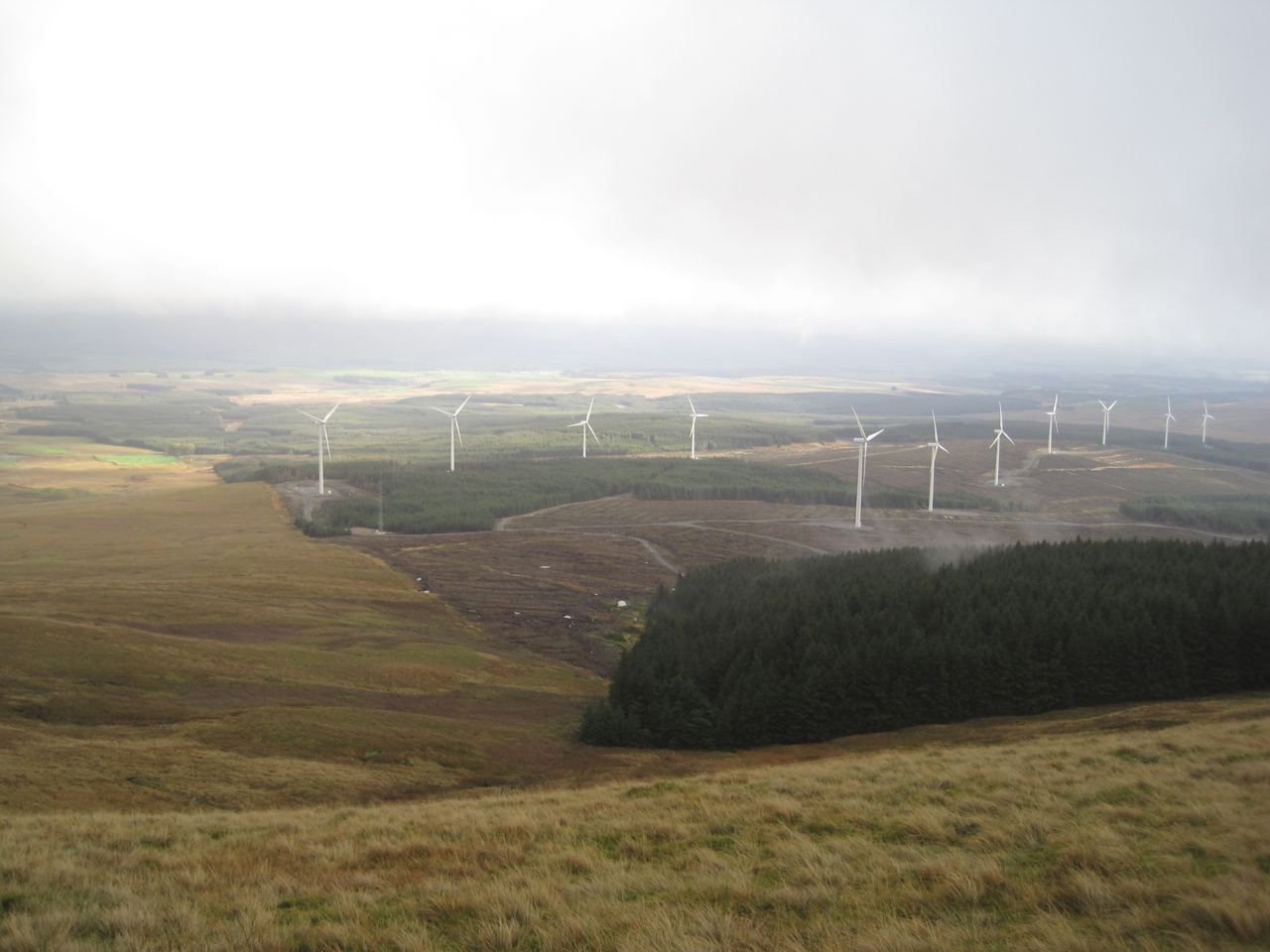
Our route was then along the tree line, though many trees have been cleared for wind turbines. This section of the walk was very boggy in places and there were several small waterways to cross. Eddie was a useful point man, I watched to see how far he sank to gauge whether I should take a particular line through the waterlogged reeds.
This section went on and on and on, the sound of squelching feet mixing with the whoosh of the turbines. The most interesting aspect was walking through square NT0000. There was no sign of Lochanhead and I began wondering if we could be going the wrong way, but there was no mistaking that we were between the tree line and Lochan Burn, just where we were supposed to be. In actual fact it wasn’t that far, just under a couple of miles, and it didn’t take us particularly long, it just seemed that way.
Eventually we came to Lochanhead. We could see a a nice dry rocky path on the other side of the Lochan Burn but where it came down to the burn there was no way to make a dry crossing. I presume the burn was a little fuller with the recent heavy rains. The south bank of the burn, where we were, was particularly boggy and poor Eddie slipped into a pool and needed help to get out.
Looking ahead we could see cyclists on what turned out to be a newly built road emerging from Ae forest which presumably serves the wind farm. So we headed for the road, climbed onto its firm rocky surface and walked along it to the burn expecting a bridge. The road just ended there. No bridge.
This called for a plan. After a break for a drink we had our options in order. We walked back up the burn a little way. No dry crossings there, and we couldn’t face walking too far back up the hill. Next we tried continuing down along the south bank, but our way was blocked. So we embraced nature, accepted wetness, and decided to wade across. We found a place where it was mostly less than knee deep, got wet feet and climbed out onto the far bank with boots full of water. Eddie can’t cope with moving water yet so he got carried part way across then flung onto the bank.
There was then a maze like walk between parallel fences to get onto the road from Lochanhead to Kinnelhead. The ground between the fences was either waterlogged or flooded, but since we already had wet feet that wasn’t a problem.
I tried lifting my feet to let some water out of my boots, to no avail, and found myself torn between wanting to empty the boots to reduce the sensation that I was walking in water-filled wellies and the competing feeling that I couldn’t be bothered with the effort. I decided to try taking one boot off, emptied out water and squished my foot on a rock but that didn’t make much of a difference. Perhaps if I had changed socks it would have helped but since it was only about a mile back to the car we just squelched on.
As we reached the car, the heavens opened again, just to make it more troublesome for us to get changed.
PS That was a strenuous outing. I had some discomfort in my left calf as I walked. I am now limping badly when I move and finding it difficult to keep my eyes open when I sit down. Eddie is asleep at my feet which is usual for him. Even his energy has a limit.
[osmap gpx=”http://www.screel.co.uk/walks/wp-content/uploads/2014/10/RK_gpx-_2014-10-25_0937.gpx”]

