8.24 miles 3h 23m ascent 386m

Wether Hill (Christy’s first Marilyn)
After an unintentional detour, and some uncertainty as to whether I had started the walk in the correct place, the car was parked and i sat looking out at the rain. This was a day for full waterproofs, and what’s more if I were to put on said waterproofs outside I would be wet before I started.
It is a challenge putting on waterproof trousers in the car, even more so in the drivers seat. But after much huffing puffing, and squealing as I moved my left hip into positions it did not appreciate, the waterproofs were donned. Once out in the rain I realised the trousers were on back to front. I’ll admit there was a moment of despondency, but I I thought to myself that this wasn’t a challenge, it was an opportunity. I would find out how much difference it made wearing them back to front. Or perhaps it was the lazy choice. Outcome – no big deal.
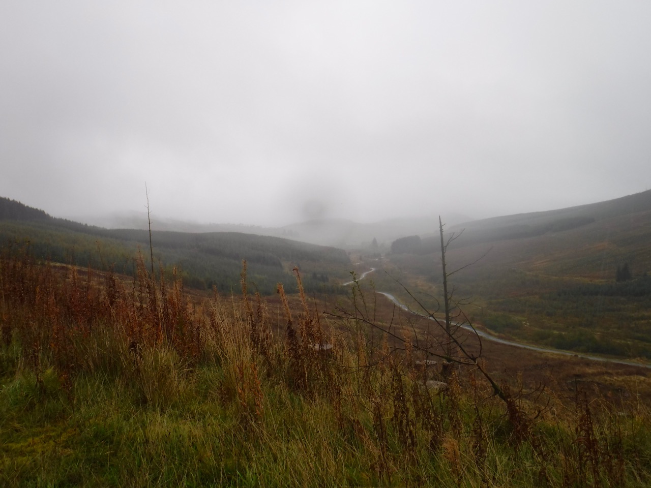
Craigdarroch Glen
We climbed steadily along a forestry track that wound to the left and then took a tight left turn giving me some encouragement that this was the right route. The forest here had been felled in the last few years and young trees had been planted in places. As the path rose we had views across the felled land down a rain and mist filled Craigdarroch Glen, golds, greens and browns contrasting more to the naked eye than they appear to have done in the photos.
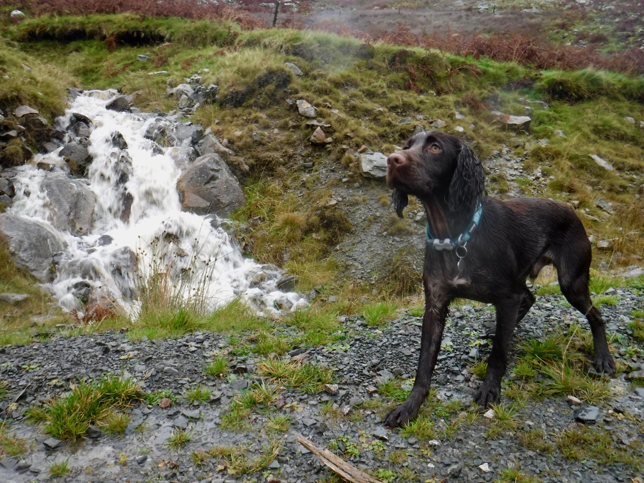
Christy found a stick to carry and shrugged off his coat. We walked on through the rain, and I definitely felt the climb. It was warm enough to manage without gloves despite the rain and wind, which meant we were are overheated at first
The our route took us over the small forested ridge made by Auchenstroan and Ewe Craigs, allowing us to look down into the felled slopes of Carroch Glen. We spotted a gate beside a watchtower and made our way along to it, finding it locked with a bright shiny padlock. At first I had thought the forestry track ended here but it continued downhill beyond the gate. It was easy enough for us to clamber over the gate but Christy needed to be manhandled to the other side.
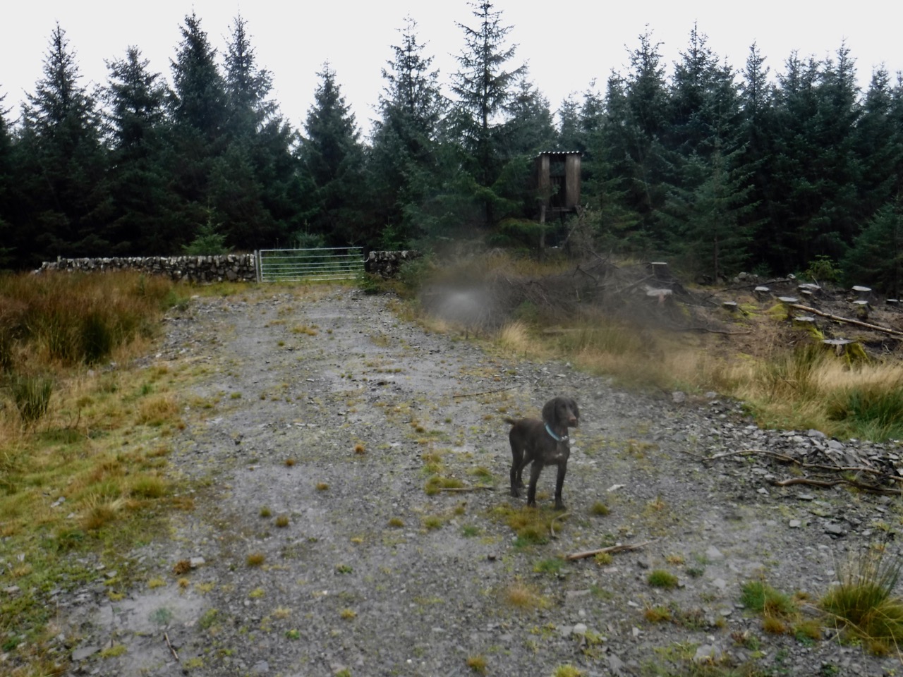
Watchtower and locked gate
This last forestry track had had recently had fallen trees across it but the trunks had been sawn through to give us a way through. Here our track joined the windfarm’s service road. A portacabin in the livery of Ross Poultry sat opposite a grassy area littered with animal feed holders. Ross poultry are in the business of chicken genetics so I presume this is a second hand cabin whose owner sees no point in repainting it.
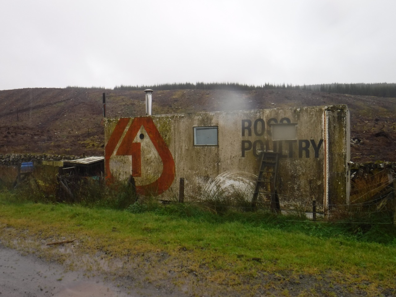
Ross Poultry
Near the portacabin the track has a 19 mph speed sign. Quite an unusual number which caused us to pause. We wondered if it might be a converted from 30 kph (which would be 18.6 mph), but once home I was able to do a little google-research and found that signs such as this are used on private roads to improve safety. “The reason for having a 19 mile per hour limit is to attract attention to the signs as it is an unusual number.” Whether this works is unclear.
One of the many cascades
Water cascaded loudly down the slopes of Craiglirian Craig to our left in several places, and in between it ran off like unfrozen icicles. Yes it was a rainy day. Up ahead we noticed a stand of trees below the road, surrounded by dykes, a large old sheepfold or perhaps a previous farmstead. And from here we had a view down the valley of the Craiglearan Burn. The small path joining the service road here would have been an alternative way up onto the hill, via Craiglearan Farm.
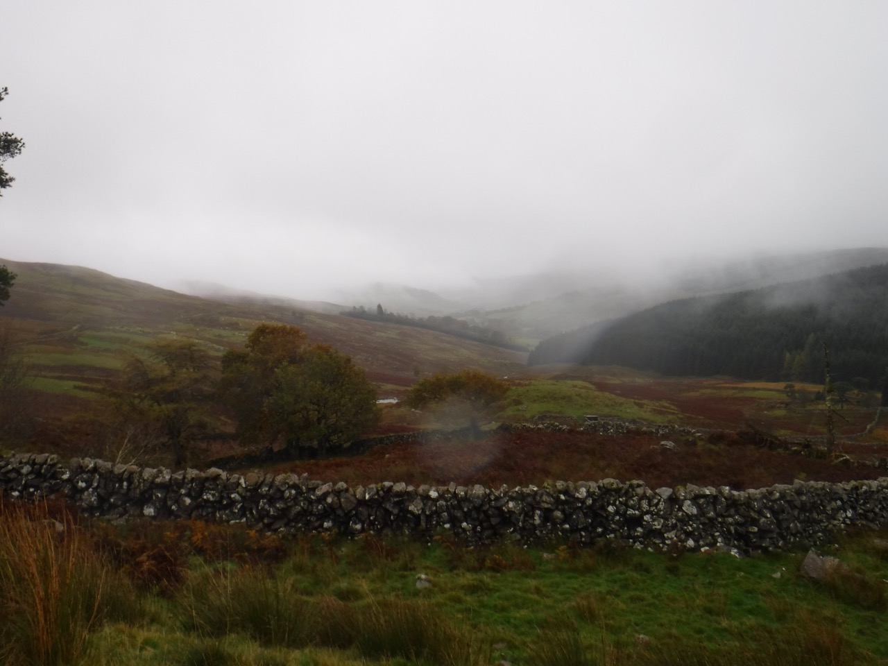
Craiglearan Glen
The low cloud limited our views but once past these trees we got our first glimpse of the wind turbines. We continued up the service road, past the buildings of the Control Centre and eventually stopped for a somewhat belated elevenses in the lee of turbine 11.
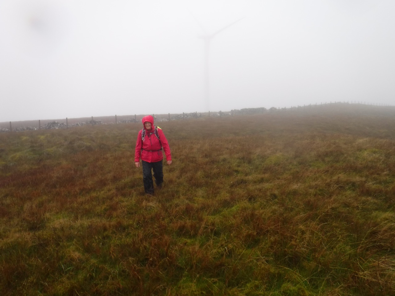
Wether Hill’s Moorland
I recalled that reaching the summit called for us to leave the service road near turbine 14 and head uphill. This was upland bog and the going squelchy. We headed up towards what looked like a high point but once there we could see several other possible summit places. We set off across the hilltop in slightly different directions and perhaps by chance my direction took me close enough to the summit cairn to spot it on the other side of a fence beside a dilapidated dyke.
Despite its name Wether Hill (Wether/Wedder is a ram), we saw no sheep on the hill.
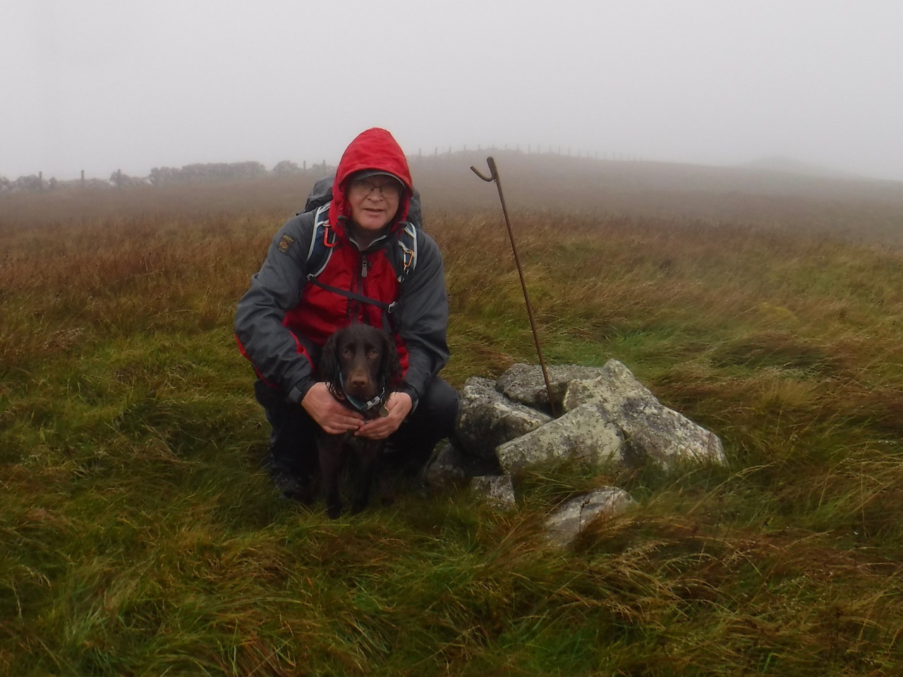
Wether Hill Summit
A bit more dog-lifting and human human climbing had us at the summit of Christy’s first Marilyn, which obviously called for a photo. We decided to make our way down to the turbine service road near turbine 7 and head back down from there rather than tramping back across the hilltop bog.
I had intended this walk to include a search for the Glenjaan Craig cairns, but the cloud base was well below us so it didn’t seem a good day to go searching for the cairns in the mist, and instead we followed the service road back and retraced our steps.
I must say that on the way back ‘down’ I was surprised how much ascent we had. Given the weather lunch was had in the car.
Download file for GPS
