
8.6 miles 4h 9m ascent 302m
 Cullendoch-Loch Fleet
A heron watched us then took flight as we eased our way to the parking spot near Little Cullendoch. This usually has space for a three or four cars, and though it proved a little less accommodating, with a couple of fallen trees lying in it, we were able to squeeze in. We paused to look back towards the Big Water of Fleet viaduct before striding out leaving me to wonder if future archeologists might find remains of that edifice and quite reasonably presume the plaque it wears must bear its name. They will refer to it as “Danger Falling Masonry”.
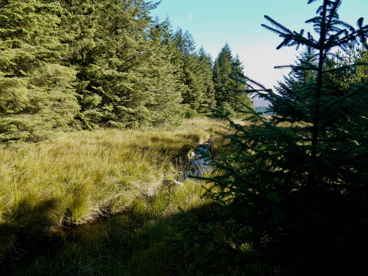
This walk was a gentle climb along forestry tracks. We crossed the Big Water of Fleet at the bridge near Meikle Cullendoch and then left the national cycleway to take the track heading between Dunharberry and Benmeal. This had once been forest but much is now felled and, as yet, fallow.
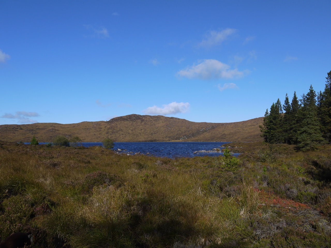
As we gained a little elevation on the SW slopes of Dunharberry the views opened up showing us the long curving ridge of Cairnsmore of Fleet, standing like a giant amphitheatre around an autumnal tinged Cullendoch Moss.

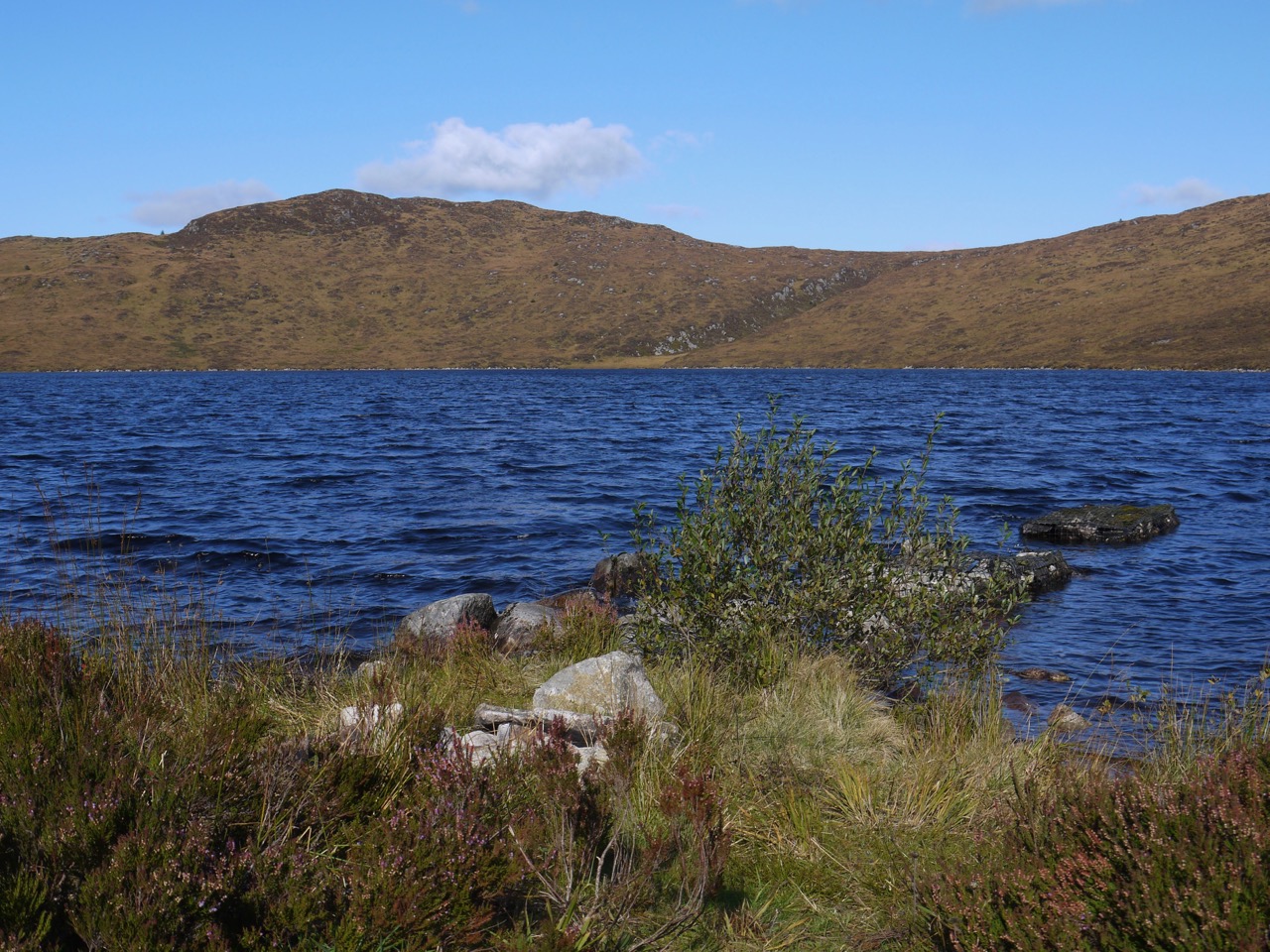
Cairnsmore of Fleet across Cullendoch Moss
I was looking out for Dunharberry but couldn’t see it and presumed it to be a bit of a hump, hidden by the forest, rather than a real hill. Our gentle stroll was interrupted close to Benmeal, the track barred by fallen trees with uninviting terrain either side of the track. We had bog with a mess of recent felling to our left and fallen trees barring the forest, also standing in bog, to our right. Christy made short work of the obstruction but the boggy ground proved unappealing to us humans and we were forced to clamber across nature’s barricade.

Human versus fallen tree

Dog versus fallen tree
Dunharberry, the hill I could not see, might take its name from Cairbre’s fort, dùn Chairbre. There are similarly named hills in Ireland. The name Cairbre is attached to several characters in Irish legend and myth, but I doubt any of these legendary heroes had a fort here. Cairbre (Carberry) was a relatively common Irish name in St Patrick’s time and some common Cairbre might have made a home on the hill in the distant past. Benmeal with its bare rocks reflects its name more directly, beann mael meaning bare hill.
Back on track after our jungle climbing we came to a track junction beneath Benmeal and found some crocosmia growing wild beside the the forest. I merely thought this a little unusual, failing to register “unusual” plus “forest” as a sign of something magical or enchanted. So I did not notice that a subtle spell had ensnared me. After walking past this junction any recollection of its existence was lost to me.

Sundog in the sky, regular dog on the logs
As we walked on I began to be concerned. Recalling that we were to take a right turn at a junction after Meikle Cullendoch (remembered), a right turn (forgotten) south of Benmeal, and a left turn east of Benmeal (taken), I convinced myself that the left turn we were walking westwards south of Benmeal rather than north to its east. Maps were consulted. My brain, enchanted by the crocosmia, Lucifer’s flower, became convinced that Fell of Fleet to our north was actually Benmeal. I ordered a halt and considered retracing our steps. Luckily my companion was in full native scout mode and pointed out that it being near midday our shadows which stretched out before us indicated we were walking north rather than west. The crocosmia enchantment remained strong though and continued to cloud my navigational sense with doubt. It was only once we had come to an unmistakeable zig-zag in the track that I was released from the spell.
Many years ago, human bones were found in the area between Craigwhinnie, Lea Larks and Benmeal. This had led to the area being called the Nick of the Dead Man’s Banes. The book ‘Cols and Passes of the British Isles’ relates that the surveyors in 1848 recorded it as ‘A hollow between Craigwhinnie and Benmeal in which human bones have at different times been found’. Canmore suggests it might have been an ancient burial site. Or perhaps Cairbre allied forth from his fort and defeated an advancing enemy there, leaving their bodies to rot where they fell? Perhaps other readers will wonder that I own a book such as the Cols and passes of the British Isles. But who among us could see such a tome and not wish too have a copy for their own collection? But as usual I digress. That some local would tell the surveyors this name when Queen Victoria was in her twenties and the name would sit on the OS map over the long years that would see Victoria’s great great granddaughter celebrating her own diamond jubilee, and that I would read the name and be drawn to visit the eponymous hollow, must rank as a form of magic.
Sadly though we were able to look across the natural ossuary, we didn’t get to visit it, the path that way being well and truly blocked by fallen trees. We took a track much less used for the final climb up to Loch Fleet. There were several species of mushroom growing on the path and the diminutive Little Water of Fleet tumbled over rocks to our left. The hill named Lea Larks to our left is not a place to see larks but is liath leargs, the grey slope.
Little Water of Fleet
We had one more fallen tree to pass, a scots pine and this we scuttled beneath having taken off our rucksacks and passed them through. Soon enough we came into the hollow in the Fell of Fleet containing Loch Fleet. Photos of the Loch I have seen show a wooden jetty, but that is long gone, just the rocky foundations remaining. Christy jumped in the water but soon scuttled out shaking the water on to us as he passed.
The old jetty
The loch is at 340m and the hill behind it 470m. The terrain is upland moor and I recall climbing Fell of Fleet from Back Hill of Ochars a few years ago and making my way through what I described as a granite strewn bog with areas of standing water. I kept to the track this time. Though the loch side was pretty, and someone else had obviously had a fire there at some time, there was nowhere dry to sit so we turned about to retrace our steps looking for a good lunch spot. the sun had dipped below the tops of the trees in these last few minutes so though we had walked up to the loch, we walked away in shadow and it was noticeably colder.
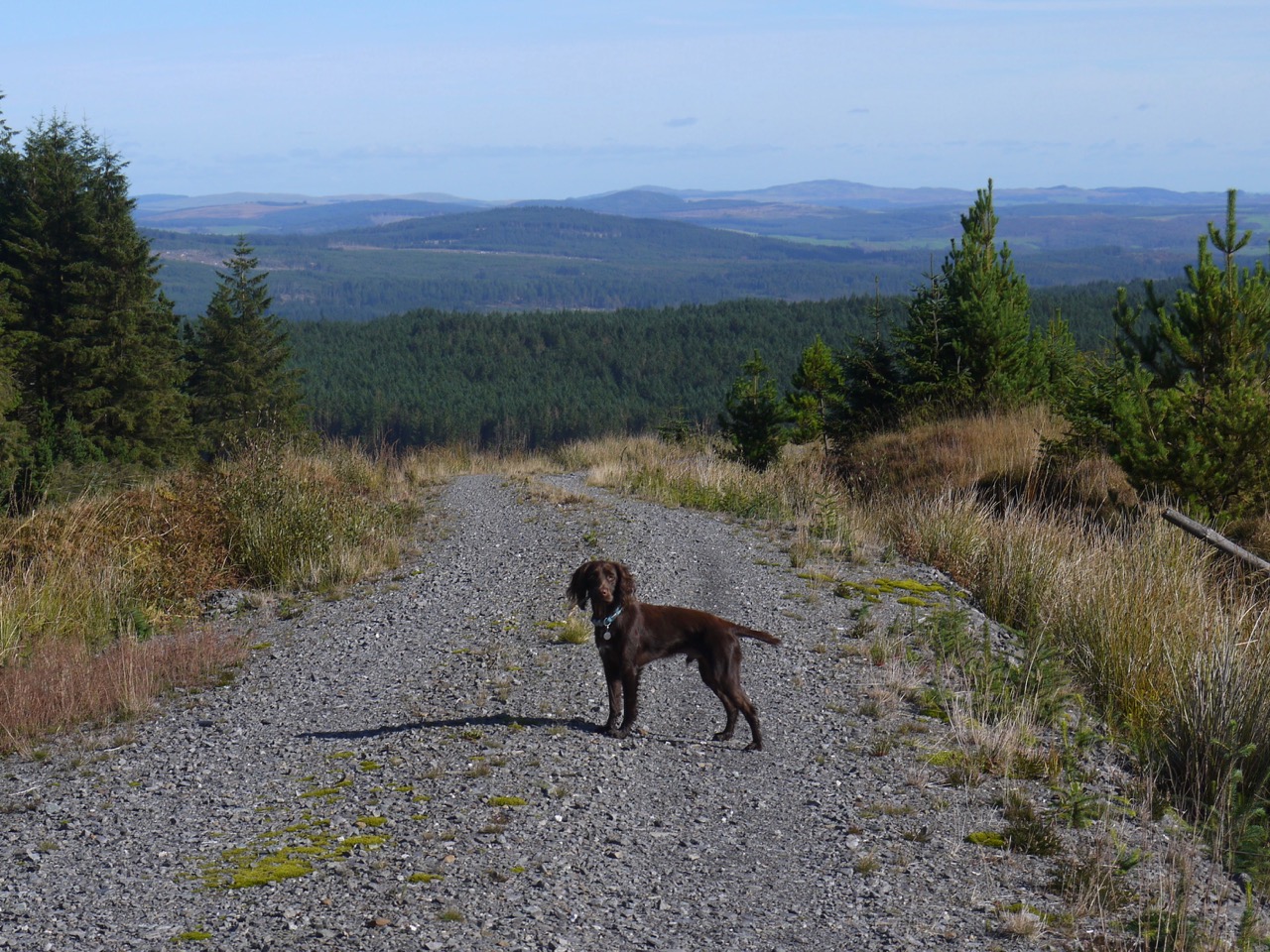
the way back down on the slopes of Benmeal
At the blocked track to the Nick of the Dead Man’s Banes, I had a go at finding a way around the fallen trees but came to a wide water filled ditch which was essentially a moat where the fallen trees left off. The ossuary will have to wait for another day. Or perhaps the spirits of those whose bones lie in the Nick had induced the forest dryads to cast trees in my path?
I had entertained the faint possibility of crossing the Nick of the Dead Man’s Banes and finding a way over to the other forestry track beside Loch Garroch, but that was not going to be so we headed back the way we had come, mostly in sunshine and with a brief pause for lunch.
[sgpx gpx=”http://www.screel.co.uk/walks/wp-content/uploads/2018/10/RK_gpx-_2018-10-06_1054.gpx”]
