Skerrow Halt


10.1 miles        3h 3min     285m ascent

Stroan Loch-Airie-Loch Skerrow-Auchencloy-Barney Water-Raider’s Road-Stroan Loch.

The forecast was a cloud base at 250m, so I decided to stick to a low level walk. As it turned out I was in cloud at 150m so low level was the right choice. On the plus side the drizzle was only occasional spots of rain and it was quite warm. Just a shame about the poor visibility.

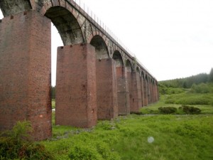
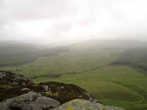
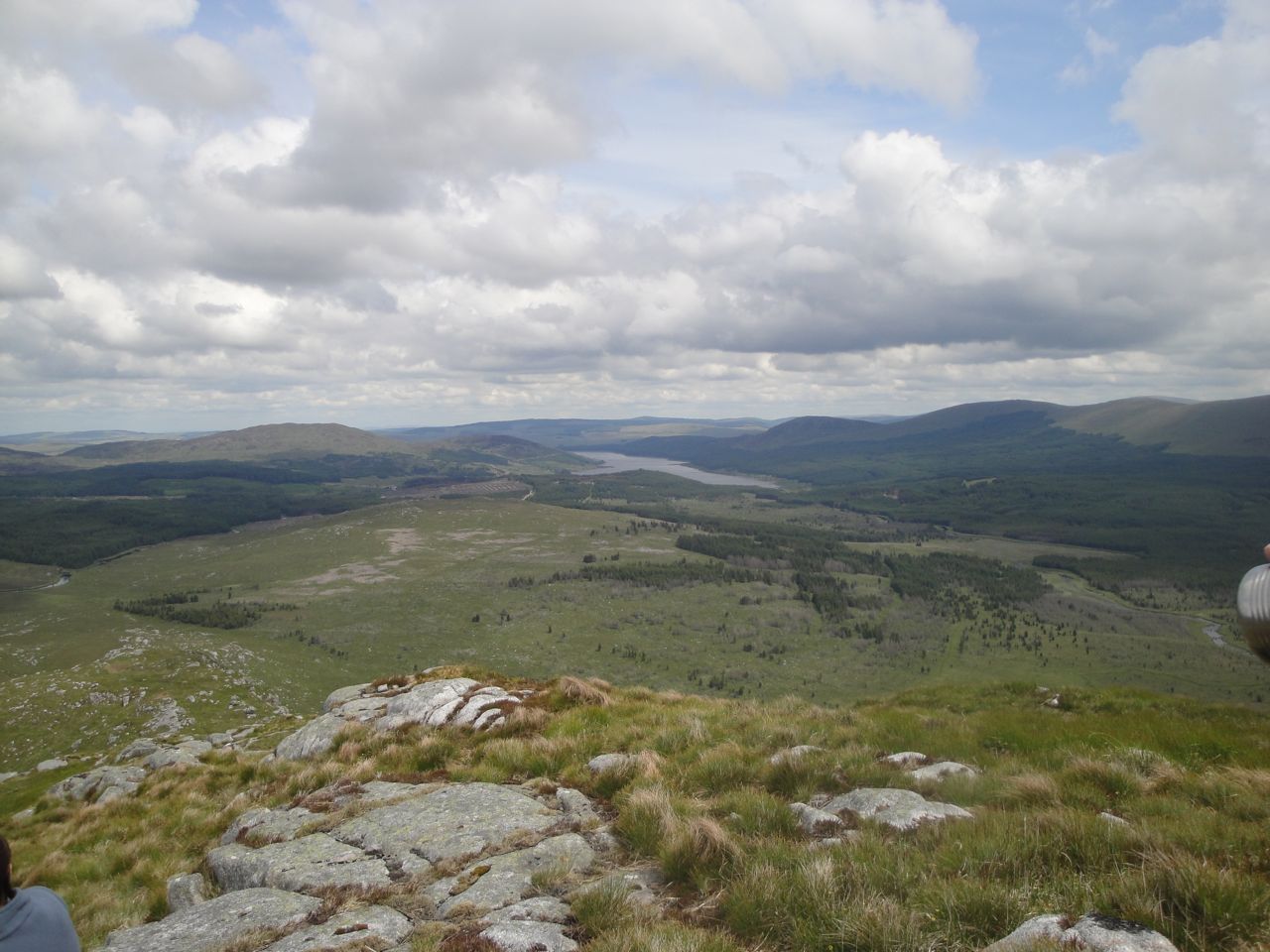
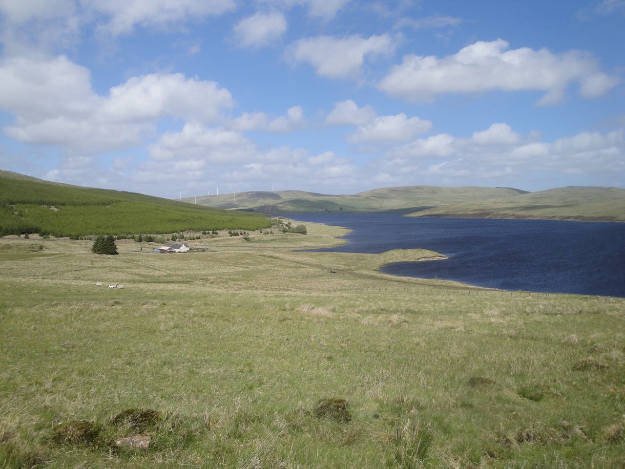
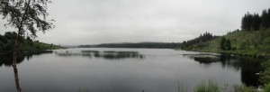
I parked in a car park at Stroan Loch just by the disused viaduct and spent a little time gazing across the loch. The picture above is Stroan Loch from the car park. I was to start my walk by crossing Black Water of Dee on the viaduct. There was my first problem. How to get onto the viaduct? A steep overgrown bank and fence stood between me and my goal.
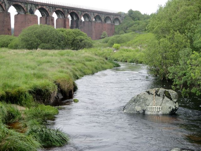
Stroan Viaduct

However, my eagle eye spotted a path going under the viaduct. Perhaps that would lead onto the bridge? I followed the path and whenever it forked I chose that leading up and to the left. The epithet “path” became less appropriate with each fork. I was eventually climbing through chest high bushes and ferns with the occasional feeling that others had been this way where there was crushed fern.

I then found myself on a bank looking down onto a path. Indeed it had the appearance of a railway cutting. I had climbed a little too high, so I fought my way down the embankment and climbed a fence. Once on the path, immediately opposite me was a well maintained path. It led to the car park. Looking on the bright side I had worked up some warmth and was able to stick my coat in the rucksack.
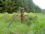
This subject stayed still

Rusting Fence Post

Once across the viaduct the path was in good nick, for now, and there were plenty of wild flowers as well as flocks of butterflies.  (PS I’ve looked up the appropriate collective noun and it should be a flight or a rabble of butterflies). These would flap about me as I walked along but if I stopped to take a photo they landed on plants, so I gave up trying to catch them with the camera. The path was the old railway line and there were many rusting fence posts off to the side. They stayed still for their photos.

At Airie Farm (Airie is from Airidh, a hill-pasture) I ignored the sign to the viewpoint since it was unlikely I would see much and carried on along the old railway instead, past the private road sign. My return route was undecided at this point. One option was to return along the railway but take a path up over Airie Hill, but since I didn’t see any path on the way out, that return journey was removed from the options.

Once out of the trees I passed a waterfall on Airee Burn and then crossed a wooden bridge over Grobdale Lane. I presume in better weather I would have been able to see the hills of Cairnsmore of Dee, or even Airie Hill which was within a kilometre.
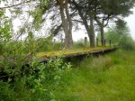
Remains of Skerrow Halt

The path began to be more waterlogged as I caught my first glimpse of Loch Skerrow and then reached the ruins of Skerrow Halt. There was once a rail stop here where trains would take on water. I believe the few buildings associated with this activity were demolished by the army (blown up as an exercise) once the line was closed. I would love to be able to say I could see evidence of this but my CSI skills clearly aren’t up to it. It’s hard to believe what this station once looked like. Sad in some ways, but impressive to see how swiftly nature can erase man’s handiwork.

Sadly the views across Loch Skerrow were obscured by mist, but some geese that had been hiding by the bank made a run for it as I went to take some photos (as you will see in the gallery).  I decided to press on returning via the forestry track on the far side of the loch rather than retracing my steps, because I thought it would be too boring to just turn around, even if it was shorter.
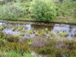
Flooded Path

After Skerrow Halt the path was clearly losing the battle with nature. It was overgrown in places, but passable. Unfortunately there were long stretches in which it was flooded. I made a schoolboy error at one point, choosing to step on some ironwork I could see below the surface, only to find it was much deeper than it looked. (Damn refraction.) At one point the path was just impassable with deep water and I had to climb onto the higher ground. Here I regretted my decision to not wear gaiters, since I was walking through knee high wet grass in the usual tussock arrangement and had to negotiate several water channels. The last of these was too wide to cross so I made my way back down to the railway, which was less waterlogged here.

I soon spotted the forestry track that would be my way home, just 100m across some low lying tussock strewn bog. There was no obvious track across so I just went for it. There was one particularly wide water channel but fortuitously it had a rail sleeper laid across it. Once on the forestry track I did a quick damage report. I was soaking wet from the knees down, but hoped I might dry out before reaching the car. The trousers are supposed to be quick drying.
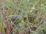
Can you see the toad?

The track led along the north bank of Loch Skerrow for a while then contoured around Auchencloy Hill, the top of which, at 209m, remained lost in cloud. This section was not particularly exciting since I couldn’t see much. There were some interesting sights though. A deer bounding along just off the track, a toad hiding in the grass, a beetle scurrying across my path and then, of all things, a red Kite.

I took a photo of a small stream, just because I thought it was Barney Water and liked the name. It turns out that Barney Water is a farm further on and my photo was of Glengainoch Burn. At Barney Water there was a stone circle that looked too regular to be natural, but I can’t find any report of a stone circle here. The rather strange name is thought to be a corruption of bearna uachdar, upper pass.

Once over the Black Water of Dee, with its truly black water, I was back on the Raider’s Road. Here was my first sighting of other people. I stopped at an information sign that informed me that the annual rainfall at the coast is about 750mm but at Clatteringshaws it is 2200mm. No wonder the ground is always wet.
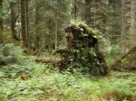
Galloway Forest Monster

I wasn’t sure how far I had to walk on the Raider’s Road and couldn’t be bothered to get the map out to see. There was just over 2 miles to go. Along the road I spotted a Galloway forest monster, distant relative of the wild haggis, in the woods. Probably just baby since its invisibility wasn’t working yet.

My heart rose when I caught a glint of water through the trees and thought it was Stroan Loch, but it was just the Black Water of Dee. Eventually Stroan Loch with the viaduct on its far side came into view and the end was close. The rain started just after I got back into the car. How’s that for timing?

Route: Stroan Loch-Airie-Loch Skerrow-Auchencloy-Barney Water-Raider’s Road-Stroan Loch.
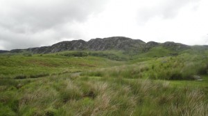


Posted in Dumfries & Galloway | Tagged , , | Comments Off on Skerrow Halt

Go on, make my day

Clints of Dromore

4.8 miles 2h 33m. 244m ascent

The Clints of Dromore

The forecast was for a cloud base at 450m so I decided to give the bigger hills a miss. I have grown tired of climbing into mist where I can see little of the countryside, and even sometimes need to use GPS to confirm I’m at a summit. I had planned to follow the old railway line from Big Water of Fleet viaduct to where the viaduct over the Little Water of Fleet once was. Driving up to Dromore however, the Clints of Dromore did look inviting. All I had to do was weigh up the invitation against the descriptions of the Clints as ‘tough going’ and ‘It’s a swamp. Snorkel recommended’.

Driving to Dromore the rain petered out to an occasional spot on the windscreen and a red squirrel darted across the road. My mood was lightened and did I’m sure help tip the balance in my decision. So the Clints of Dromore it was.

Big Water of Fleet Viaduct

I parked at the car park just under the Big Water of Fleet viaduct, where there is a picnic area and an unusual wooden seat surrounded by a dry stone wall. I walked over to take a photo, and as I walked the rain began again. It was only light rain, though, not enough to warrant waterproofs, yet.


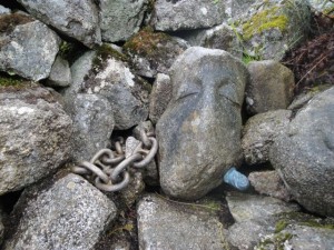
My first stop was the ruined buildings of Little Cullendoch, only a hundred metres or so from the car park. The ruins contain a strange sculpture that looks like a chained head stabbed in the neck. Somewhat gruesome, but perhaps there is another interpretation.

Stabbed chained sculpture

From here there were great views of the impressive viaduct, but the light was poor and the photos didn’t capture the emotion. I then made my way to the path leading up to the old railway line at the western end of the viaduct. By the time I got there it was definitely waterproofs weather.

I recalled from descriptions I had read that there was a gate at which I should leave the path and climb onto the Clints, but thought it was further along the railway. There was nothing on the map and I spied a gate, albeit sooner than I expected. I was to find later, this was not the right gate. Indeed once I had climbed up the gate it turned out to be a wooden fence repairing a dyke.

My way onto the clints

I thought I could see a path of sorts. Well at least what looked like a way through the undergrowth. So up I went through a combination of chest high water-soaked ferns on the flatter areas and slippy wet heather on the steeper sections. I had a brief moment of sliding down one of the steeper sections of heather and spotted a frog close at hand when I came to rest.

The area was full of birds. I startled half a dozen grouse and various smaller birds darted about. I got a good look at one that I think was a stonechat (but I’m not good with birds). Despite the rain there were butterflies/moths aplenty.

Waterlogged Grass

No paths. Deep wet undergrowth and occasional bogs but the going was not especially tough. Looking ahead I was surprised how high the Clints were. I took several diversions to the edge to see the views and these were quite tiring. By the time I reached the Deep Nick of Dromore the rain had increased to heavy and horizontal with mist. A song kept playing in my mind with the words ‘horizontal rain’ but the lyrics didn’t seem right. Eventually I remembered it should have been purple rain.

At the Deep Nick I had to decide whether to climb down then up again or head back to the treeline and walk around the Nick. I opted for the latter, which was just as well. Once I could see the Nick I realised how steep the sides were.

View south from the Clints

I was tempted to head down between some of the Clints, but thought it safer to stick to the original plan of continuing on until a fence. The ground became even boggier and required care in finding a path.

Heading down by the fence there appeared to be a path. This became increasingly wet and eventually became a stream. A little further down the ferns were back but there did seem to be track through them which contoured around the hill into the valley of the Russon burn.

I then dropped down into grassland and found a faint vehicle track to follow. The ground was boggy in places and where not boggy was bouncy like walking on a trampoline.

Another path to he Clints

The Clints were well seen from here but the weather made photos difficult. The path led to a gate onto the old railway which I followed back to the viaduct and the car. Walking along I passed a stile which was I think where I should have headed up the clints. Perhaps that would have been easier

I’ve seen this described as a 3-4 hour walk so I must have made good time. The area certainly looks pretty and I think I’ll try to come back in better weather sometime.

Posted in Dumfries & Galloway | Tagged , , | Comments Off on Go on, make my day

Mullwharchar

9.8 miles 4h 45m 680m ascent

The remotest hill in Galloway? I’d been longing to climb Mullwharchar for a while, but the routes were off-putting. I didn’t fancy tramping up the Gairland Burn when it had been raining all week and was concerned about the burn crossings if we went from Backhill. The alternative was to walk in from the north.

The outing started with a drive down the west shore of the lovely Loch Doon, past the rebuilt castle ruin and down to the waterfalls of Carrick Lane. I must say that the “waterfall” marked on the OS is a bit of a let down, but perhaps it comes into its own when the stream is in spate.

I had been worried that we would be walking from the car-park at the waterfall but the gate across the forest drive was open so we were able to drive down across the bridge over Whitespout Lane, saving ourselves 3.5 miles of walking.

The weather forecast was for rain later in the day, with varying times offered by each service. The sky was overcast so we feared the worse. What I didn’t expect was to get sunburnt. That’s Galloway for you, cold, wet and sunburnt.

We took a forest track heading off east and then turning south, which looked as if it could have taken a car, but knowing my luck it would have sunk while we were walking.

At the second firebreak we turned left and had our first taste of waterlogged ground. Fallen trees blocked the way twice but at the first some kindly person had sawn off the tree to allow trekkers to pass. (No, not trekkies). The second pair of fallen trees required clambering and had a dangerous short branch sticking up to catch the unwary with short legs.

The forest break then had a brief downhill section, something I dislike on the outward walk since it means uphill on the way back. But down at the bottom of the path was a bridge crossing Eglin Lane. Given our previous experience with ghost bridges this produced a sigh of relief. Eglin Lane certainly didn’t look amenable to a dry crossing without a bridge. From the bridge we could see The Merrick (Tiu Meurach), but Mullwharchar was hidden behind Hoodens Hill.

Ahead of us was a wee hill, Craigmawhannal but we turned south towards the ridge running down from Hoodens Hill and set off across squelchy grassland following an animal track. The younger members of the group fired on ahead and led us to higher ground. This was no drier and therefore entailed extra effort without gain. Ah, the youth of today, they just don’t have the laziness we have.

I think it was along here that James had his first slip, though he saved his full blown fall for later. This section was a bit of a slog and fleeces were soon packed away. Indeed there was a chilly moment when James took off his top revealing himself to be wearing Conor’s “lost” t-shirt.

Loch Doon from Hoodens Hill

There are granite slabs scattered over the higher ground and we were able to use these as pavements or stepping stones as we climbed the ridge to Gordon’s Loup and Hoodens hill. As we got higher the wind began to pick up, as it does.

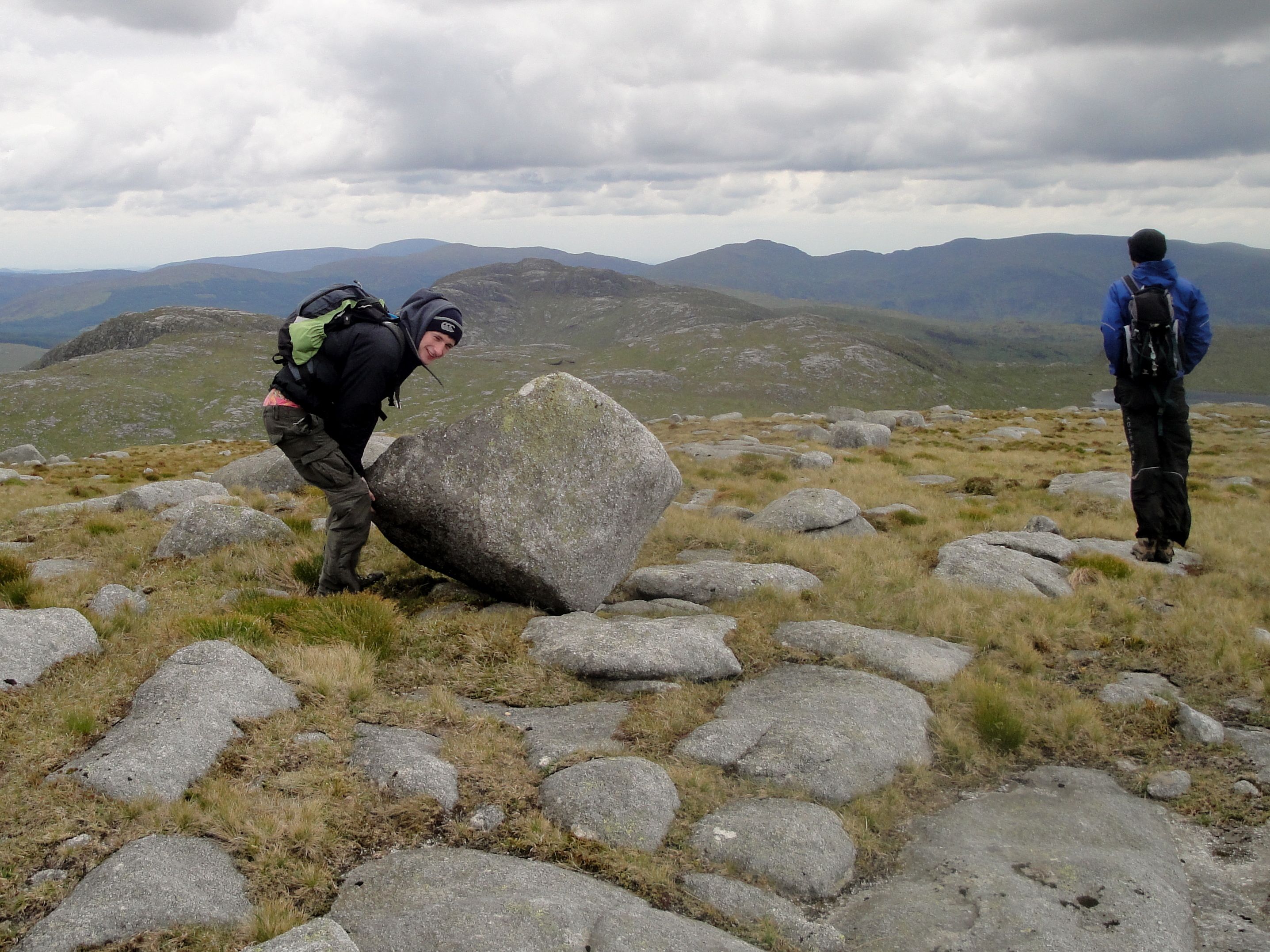
The climb up Hoodens ridge is full of false summits to sap the morale of the unwary but as we climbed the views improved. Certainly by the time we were at Gordon’s Loup at just above 400m we could see the cliffs of the Wolf Slock (the pictures don’t do them justice), the Rhinns of Kells, the Awfu’ hand, and the lochs Doon, Macaterick and Riecawr. There were scattered erratics balancing on smaller rocks allowing some candid photos.

Erratics on Hoodens Hill

Hoodens Hill has several prominences all of which have cairns of one size or another. We had some photos with the largest cairn but I suspect it was not the highest. There were several lochans up here, one with an erratic poised artfully in its centre.

Looking down to the col between Hoodens and Mullwharchar it didn’t seem too bad a challenge. Obviously the drop down from Hoodens is small enough to demote it to a mere shoulder of Mullwharchar, but there is 200m of climb up Mullwharchar picking between tussocks and stones. The feral Goats kept their distance (spotted by Andy, since I am blind to goats unless they are pointed out).

From Loch Enoch, Mullwharchar looks conical but from the north it presents a kilometre long ridge with some uncertainty as to which end has the summit. It is the SW end. We stopped just below the true summit of Mullwharchar to hide from the wind while having lunch. The temperature seemed to drop but perhaps that was in part because we had stopped walking. I certainly felt better with hat and coat added to the outside and sandwich and pie on the inside.

Lochan on Hoodens Hill

The summit has a cairn but the hill is surprisingly flat on top despite its appearance from Loch Enoch. I wandered down to the south to have a better look at Loch Enoch and the Dungeon Hills. I had thought of continuing on to Dungeon Hill, but it seemed right to leave it for another day and another approach. It was interesting to compare the green colours of the hills today with the golden browns of our outing to Merrick in September.

I had thought of making this a circular walk back over Macaterick but was worried we would have difficulty with the burn crossings so we headed back the way we had come.

The descent of Mullwharchar was easier than ascent but we now had problems slipping on the wet grass and underlying mud. Much “ooh”ing and sudden flailing of arms was done.

Contouring around Hoodens hill didn’t seem possible given its steep sides in places so we headed back up to the top. Eagle-eyed Andy spotted a frog on the way up Hoodens but later blew his chance of usurping Attenborough by pointing out a “thingy” then clarifying it was a “bird” before identifying it as a wagtail.

The ridge this time seemed to have many more prominences. I counted five, and four of those are evident on the GPS track. As I looked east to the Rhinns of Kells I thought that this ridge was a miniature version of those rhinns.

Once at the bottom of the ridge, where granite and moist earth gave way to tussocks and waterlogged ground we headed for the Wolf Rock, which is a boulder that looks as if it has been sliced by a giant with a magic knife.

We had a breather at the Eglin Lane bridge then headed up the fire break. This seemed steeper that it had four hours earlier but, as my memory failed me, I thought the forest track was just ahead. Then we reached the fallen trees and I remembered the break was somewhat longer.

Once on the forest track we were out of the Galloway bogfest and could stride along happily without worrying where each foot would go.

We took coffee at the Doon Castle tearooms, in nice big mugs then I went to be tormented by cars while trying, unsuccessfully, to get a reasonable photo of the castle. The forecast rain began to fall as we sipped our drinks. What timing!


Posted in Ayrshire, Dumfries & Galloway | Tagged , | Comments Off on Mullwharchar

Lousie Wood Law

6.75 miles 3h 30m 580m ascent

This walk started at the Glenochar Bastle House car park. Mine was the only car there, and I didn’t see another soul all day.

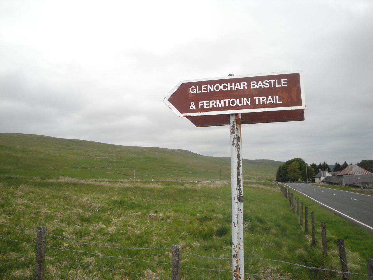
The Bastle House and Fermtoun Trail is marked out by ageing wooden posts and the wetter sections crossed on wooden bridges. You can see the civil engineering in the photograph above. Walking towards the ruins I was circled by two oystercatchers.

A bastle house is a single storey defensive farmhouse, dating from the times of the border reivers. The signs around the trail have seen better days and all the benches have fallen apart, but that is I suppose in keeping with the ruins of the house and fermtoun.

At the bastle house I left the fermtoun trail and headed directly up the slopes of Coupland Gair. At this point is was so warm I had to stop to take off my fleece. As I did this I noticed a vole scurrying across my path, the first of several I was to see throughout the day.

The trek up Coupland Gair was a little steep and grass soon gave way to tussocks and moss just to make the going a little harder. As usual I miscalculated my progress and when I saw a fence ahead of me I thought I had reached Lousie wood Law. Sadly it the fence on top of Coupland Gair, with anothe half mile still to go. The fence led to LWL showing the way but the ground became a little more soggy requiring some care in choosing footfalls. A couple of grouse ran along ahead of me for a while before flying to the other side of the fence. There were more grouse later in the walk especially when walking over heather.

Lousie Wood Law summit has a trig pillar and a small cairn. The weather remained good (dry with some blue in the sky) but on the summit the wind had picked up and the fleece was need as well as hat and gloves. The views were good with Tinto and the Culter hills visible across the M74, and the Daer hills and Lowthers to the south. It was good to have such good views after the poor visibility of the last few weeks.

A fence runs all the way from LWL to Dun Law, so even in bad weather the route would have been easy. The ground near the fence was mostly heather or areas of boggy moss so I followed a faint quad bike track which though it meandered a little, did offer slightly firmer ground (most of the time. Unfortunately it eventually meandered off to the north so I left it to follow the fence down the steep side of Black Law to Little Windgate Hass. This mouthful is the col between Black Law and White Law. I can’t find any definition of a hass other than the flesh of a dogfish, which doesn’t really fit the context.

This hill is very similar to the path we followed down Durisdeer hill, and the climb ahead looked the same as Well Hill (ie very steep). I decided to follow yet another quad bike track which took a less steep but longer route up the hill but there was no escaping the climb once the quad bike track went the wrong way. It was then just another mile in the cold wind to the top of Dun Law.

Near the top of Dun Law is a lump of sandstone with a metal post mounted in it. A remnant of a fence by the looks of it. I only mention it because it puts Dun Law’s summit furniture, a small white stone and half a dozen grey stones, to shame. The views here were much the same as on LWL but Leadhills was now bathed in sunlight.

The ground here was dry enough to sit down for lunch, which probably means it’s summer.

And after lunch it was downhill all the way back to the car. I headed off down towards Kneesend following another fence which isn’t on the OS. I found this took me a liitle off course. I was heading towards the Peden Reservoir and found myself on yet another faint quad bike track. Should I follow it and walk back down the A702 to the car or make my way across country to the Glenochar Valley. After consulting the map I headed for Glenochar. Initially down the slope but it bot steeper and wetter. I spotted a track on the far side of the valley which seemed to be heading down from the Hass to Glenochar. Getting to it required a burn crossing but I managed it with just one splash.

The track was waterlogged in places but overall was much easier than the wilder ground with its heather, tussocks and bog.

The good thing about coming back this way was that it took me back to the Fermtoun trail just where I left it. So I was able to complete the trail. Otherwise I would have missed my visit to the iron age platform. I would have missed it but the information poster.

A good walk in nice weather and that’s the Lowther and Daer Donalds completed. Driving home I looked longingly at Steygail and thought that I must climb it sometime.

Posted in Lanarkshire | Tagged , | Comments Off on Lousie Wood Law

Daer Again

6.4 miles 2h 45m 450m

I started half way down Daer reservoir near a farmhouse and a small promontory named on the OS as the mound. There was no obvious parking space at Kirkhope Cleuch so I headed a little further along the track looking for a suitable place to park. The first spot was a passing place but only large enough for one car; the next was larger and I left the car there. The weather was better than my last visit to Daer, the sun peeping out but occasional raindrops also making themselves known. I decided to do this walk without a rucksack since it was relatively short. So I had a big slug of water before setting off. In retrospect a banana en route would have been nice but wouldn’t have fit in my wee waist bag.

I headed straight up Watchman’s Brae climbing a recalcitrant gate on the way. All the hills in this area have steep lower sections with numerous false horizons to sap the morale and the wind was blowing directly in my face despite being on the side of a hill and once the hill was crested it was truly buffeting. The hat and gloves were deployed though I did worry that my woolly hat would get blown off.

It is difficult to identify a top to Watchman’s Brae since it is just a shoulder of Rodger Law, but there was a small stone, a wannabe cairn, that probably marks the spot. The view from here was good. Rodger Law loomed ahead and to my left the ridge to Earncraig, that I had walked a couple of weeks earlier, was now fully visible, having been shrouded in mist back then.

There was a quad bike track heading up to Rodger Law but it was very waterlogged so I took a more direct line up. The tussocks were there to welcome me and threatened to upended me every now and then. Once on Rodger Law summit I could see the Lowther hills, Queensberry, the Moffat hills and more distant peaks that I couldn’t identify. What seemed strangely absent was a large hill to west, Comb Law, which was to be the final hill of the day. Ballencleuch Law and Comb Law were the two Donalds I was intending to visit. The former was there but only a smaller, lower hill to the west. The map was consulted and position checked. Though Rodger Law is not a Donald it is higher the Comb Law. So the wee hill to the west was Comb Law.

Ballencleuch Law looked quite a distance away but there was a good downhill stretch to give me a rest. The col between the two was a little wet but with care a dry route could be found. Eventually I joined a fence that led up Ballencleuch Law which lacks any exciting summit features. The was a bundle of old fence posts that appeared to be occupying the highest ground.

From Ballencleuch I followed the fence back down the way I had come but followed it as it struck off north. There were a great many hares on these hills. Ahead in the lower ground on the way to Hirstane Rig there was a coven of peat hags. My planned route was to leave the fence to cut a corner but it was clear that the ground was wet, wet, wet, and sticking to the fence line looked the better option albeit a longer one.

I see from the map that several of these areas nearby have the epithet ‘midden’ and that does capture the reality quite well. Having made my way through this kind of terrain a couple of weeks earlier in thick mist, I’ll have to say that it is much easier to find a route when more is visible. There were old fence posts strewn about here and some had been thrown across the mud in places. Even so I had to use the fence as a bridge across some boggy areas. Slightly more irritating were discarded fence wires which tripped me a couple of times. Luckily it wasn’t barbed wire.

At Comb Law I did the summit-baggers search routine of wandering from one spot to another trying to find the highest among several minor mounds as well as checking out any piles of stones. From Comb Law I decided to go for the direct route back to the car so a compass bearing was chosen and I set off across the tussocks. If I walked this route again I think I would follow the fence and dyke down where the contours are further apart As it was, on my direct route the ground soon began to fall off quite steeply so I had to zig-zag at times. There were several apparent tracks but all were running across my own path. Once in the valley I crossed Kirkhope Cleuch near an old sheep pen and made my way across the foot of Watchman’s Brae back to the car.

This final section was tussocks and wetness. Initially there were drainage channels to cross every twenty metres or so but once they stopped the ground had standing water between tussocks. It was here, within sight of the car that my foot sank into a deep hole. The entry of my foot managed to dislodge my gaiter and allow the boot to fill with water. It is strange how time seems to slow at these times because I was fully aware of this yet it can only have been a fraction of a second between the foot entering the hole and me pitching onto my face.


Posted in Lanarkshire | Tagged , | Comments Off on Daer Again

Lonely Donalds in the mist

8.5 miles 500m ascent 4 hours

A less than perfect forecast, and the met office almost got it right. Cloud covered hill tops, correct, and showers, incorrect. Heavy persistent rain.

Loki, god of mischief, was working overtime today. My camera battery ran out, despite showing several bars the night before and the GPS battery gave up the ghost three miles into the walk. While driving to Kirkhope, by the Daer reservoir, I missed the turning and found myself at the water works and a dead end, before finding my way along the southern upland way for a short while to the farm.

As is often the way, the weather seemed somewhat better at the beginning of the walk. It was raining, but little more than light drizzle. There was a cloud on the top of some hills, but only the highest and only the summits were covered.

I had thought there would be some parking at Kirkhope Farm but couldn’t find any and drove back to Crookburn where the roadside looked strong enough to take the car.

I crossed the bridge over Daer Water, which a few miles downstream becomes the Clyde, and headed directly up Nether Law. At the top of this hill I got the camera out, to find that switching it on took the last juice from the battery. Phone photos would have to do.

The hills I had in mind were now visible with skull caps of cloud. No paths here so I took a direct route over the various summits. Here, as elsewhere there were many more ups and downs than the OS map suggested. As I climbed onto Over Law the rain climbed up a couple of notches so the waterproofs were deployed, something I still seem unable to do with panache. By the time I and my trusty rucsac were covered, the cloud had come down and the views disappeared.

Nothing to see but grass, no obvious target, so out came the little used GPS, which I had loaded with waypoints for the day’s summits. After much climbing, and trudging through sodden ground I came upon what appeared to be the highest ground, but the GPS informed me I had another 2 km to go. So this was Lamb Hill not Earncraig. The ground fell, then rose again and then something new entered the scene. Peat Hags.

Now I must admit that I find Peat Hags interesting. Good photo opportunities and something to muse upon (regarding their formation). But these hills had a whole coven of Peat Hags, large and small, often obstructing my path while being surrounded by boot-sucking mud or standing water. Climbing on and off these certainly gave my legs a work-out. Luckily, there was a fence heading from Lamb Hill to Earncraig and as well as guiding my way, it was useful to climb along when getting across some of the wider water features.

By now my gloves were soaked through. I had taken ski gloves since they appearred to have some water-resistance but found I needed to wring them out every so often. How many times have I stood in an outdoor shop looking at waterproof gloves, thinking “I’m not paying that”? Well next time I’m buying some. But to give the gloves their due, they did keep my hands warm even when soaking wet.

Earncraig hill’s summit was confirmed by GPS and, more importantly, wandering about to see if there were any higher areas. I suspect a small mound to the NW of a bend in the fence was the top. Since there was a dry stone wall here I was able to crouch behind it and get some shelter while having some lunch. Not the most enjoyable place for a meal, but a necessary morale boost.

Before setting off I got out the GPS to get a direction and distance for Gana Hill, but while looking at it, it shut down with a little message about “battery low”. I decided that opening it up to put in new batteries carried a risk of getting water in its vital parts. So I consigned it to the bag. If I got really lost I would put the spare batteries in. If I needed a GPS grid reference I would use my phone, in its plastic (sandwich) bag. So back to compass.

There was a fence heading down hill in the same direction I was taking. This descent was steep. So steep that I felt obliged to move away from the fence. The fence was topped with barbed wire and I worried that I would reflexly grab it. Eventually the ground levelled then started to climb but the fence ended. I looked to the compass and set off.

After only a short time I glanced back to check I was still following the line of the fence, but it was lost in the mist. I was climbing onto a shoulder of Gana Hill, which had more peat hags to get around but also much more in the way of marshy uncrossable sections to negotiate. I spotted something off to the right, possibly a cairn, a cow or the end of a wall, so went to investigate. A cairn. There are two on the OS, so I got the phone out and confirmed my grid reference. I was at the more northerly cairn. From here I thought I could make out a fence, which I headed for and followed to the summit of Gana Hill.

There is a shoulder of Gana Hill called Gana Shank and here I found a gate in an adjoining fence. On the other side was a wide track. This wasn’t marked on the map and given the mist I couldn’t see where it went but it did look to be descending so I left it. Once back I had a look at Google Earth and the path runs between Gana Shank and Gana Hill.

On Gana Hill there was a small cairn but several areas looked a little higher so I had another short bout of wandering around these and then returned to the cairn. The photo of the cairn looks quite clear and doesn’t capture the mist at all well.

From here I planned to head north to Thick Cleuch. There did seem to be a narrow path heading down and though it disappeared at times, I kept heading north and eventually descended out of the cloud to see Thick Cleuch and Haggy Hill. Terry Marsh in his book ”On foot in southern Scotland” describes walking in this area as a “tiring, trying romp through heathery, tussocky, and boggy terrain – great fun”. Perhaps it wasn’t raining when he was there.

As I walked down to the burn I did wonder if it would be easy to cross and when I arrived I was in “f**k -it” mode. So I jumped off the bank where the water looked shallow, holding on to the bank in case it was slippy, then got across as quick as I could. The boots and gaiters seemed to keep most of the water out.

The OS shows a path along the side of the burn, but I could find so sign of it.

Thick Cleuch Moss had several other watery sections to get across, but I found a quad bike track that slowly climbed around an area called Grouse Butts. Eventually this led me to the rocky track that would lead me back to Kirkhope through 2.5 miles of rain, and a couple of fords. On the way I spotted a bird of prey with markings like a soldier’s desert camouflage, a Kestrel, I presume.

While climbing these two lonely Donalds, I didn’t see another soul. Indeed I only saw one human bootprint and that was very faint whereas my boot sank to ankle depth in the mud beside it. So the print was either old or made by a very light being, possibly an angel?

Posted in Dumfries & Galloway, Lanarkshire | Tagged | Comments Off on Lonely Donalds in the mist

Alhang by Map and Compass

4.7 miles 2h 43m 407m ascent

As I drove to Netherholm of Dalquhairn my path was crossed by calves, lambs, hares and deer.

The walk was a curtailed outing. I had initially intended a wide circle taking in Dodd Hill and Windy Standard. Photo’s of Dodd Hill’s crosses and Windy Standard’s wind farm had been the aim, but when I arrived even lowly Dodd Hill was in cloud.

No problem, the forecast said the cloud would lift later in the day so I would go anticlockwise. It had been raining heavily when I arrived, so I opted for full wet weather get-up. Waterproofs, electronics inside a waterproof bag inside a rucsac with its waterproof cover, map in its cover. Within 10 minutes it stopped raining.

The original route had returned down Mid Rig, though I had toyed with returning over Ewe Hill. As I stood, under the rainless sky, I gazed at Mid Rig, no path, and Ewe Hill, forestry path. The cogs of the grey matter turned: it was a no brainer, Ewe Hill and the path it was.

As the path steadily climbed, I smiled inwardly. Gaining height on an easy path, what more could I ask for? When the path began to head downwards, I presumed it was just a brief irritation. Ahead I could see the path forking, one path heading back down hill and the other heading up.

Where the path crossed Spout Burn it turned back on itself, the upwards path lasted 10m, ending in 4m of sheer rock. I realised that the path and I would need to part company. All I needed to do was follow the burn up. The waterfall on the OS map should have been a clue as to how steep this section would be.

I managed to climb a steep area at the side of the sheer rock and was met at the top with a deep water filled ditch and dense forest. I tried to cross the the ditch on a fallen, moss covered, tree but following a risk assessment, clambered down into the ditch and up the other side. The walk up beside the burn led to the waterfall. This seemed quite an impressive water feature but I was wary of getting too close for a photo, because the ground was steep and muddy.

Indeed it seemed safer to head away from the burn up the slope to get out of the trees. This was more steep ground, muddy in places. The lower branches of the trees were still attached and kept catching on my rucsac-mounted walking pole. When I slipped backwards I would grab for a branch but they always snapped off.

But there was light at the end of the forest. Before too long I was on a grass covered slope. Of course there were tussocks, waterlogged ground and standing water on steep slopes in keeping with Galloway. I was heading for the fence which would be my guide but visibility on the hill top was minimal and I was wary of heading off in the hope of meeting the fence in case it was not always present.

Alternative plan: follow the burn and it should lead to the col between Alwhat and Alhang where I would have another fence to follow. Unfortunately I had to leave the burn to find a way across a rather wide tributary and by the time I got back to the burn, I mistook it for another tributary and crossed it. The weather by now had taken a turn for the worse. Visibility was very poor, the wind had reached buffeting levels and the rain was both heavy and horizontal.

It was easy enough to keep heading upwards and, despite the poor visibility, I scored a bullseye for the wee cairn on Alhang. Strangely, there was another walker up there just putting on his waterproofs. He had come up Mid Rig.

I had expected to find a fence on Alhang which would lead me all the way to Windy Standard. But since there was no fence and no visibility it was time to reassess the walk. I didn’t fancy trying to find Windy Standard by following bearings without any other guides. Since coming home and looking at the map without rain covered specs I see that the fence passes a little to the north of Alhang’s summit.

Anyway, after a morale boosting banana, I decided that discretion is the better part of valour and it was time to call it a day. Mid Rig was the quickest way back down. I asked the now waterproofed chap if there was a path, but no, he reckoned I’d just have to follow a bearing.

So map and compass it was until at about 450m I emerged from the cloud to see Netherholm of Dalquhairn in the distance. The wet grassy slopes were steep in parts but eventually levelled out. It was clear I was descending into a triangle of land bounded by Holm Burn and Spout Burn.

I spied a track on the far side of the burn and hoped there would be somewhere to cross near to it. Unfortunately, this was a ford and the burn was pretty full. Looking back up Holm burn I could not see anywhere else to cross. So I headed back up Spout Burn and spotted a possible crossing place. But between me and it was a bull and several cows with calves. As I walked towards them they stood silently watching me and I planned just to launch myself across/into the burn if they started to move towards me. As it was they just watched as I edged past and I managed to get across the burn with dry feet.

Then I found myself in someone’s garden and had to escape via their garden gate. At least the last half mile was straightforward.

It is particularly galling that as I write this the sky is now blue. Perhaps there are still gales blowing in the Carsphairn hills?

Posted in Dumfries & Galloway | Tagged | Comments Off on Alhang by Map and Compass

Nature and Nurture

Portrack Gardens 2.3 miles
Crichope Linn 2.8 miles

Today was a compare and contrast walk. The Garden of Cosmic Speculation at Portrack is open just one day per year, and today was the the day. There are photos in the gallery below.

The garden is adjacent to the railway and areas close to the railway retain a railway theme with an old engine mounted on tracks, pathways made of tracks and two small representations of the bridge carrying the railway over the Nith. There are large earthworks with walkways and several artificial lakes.

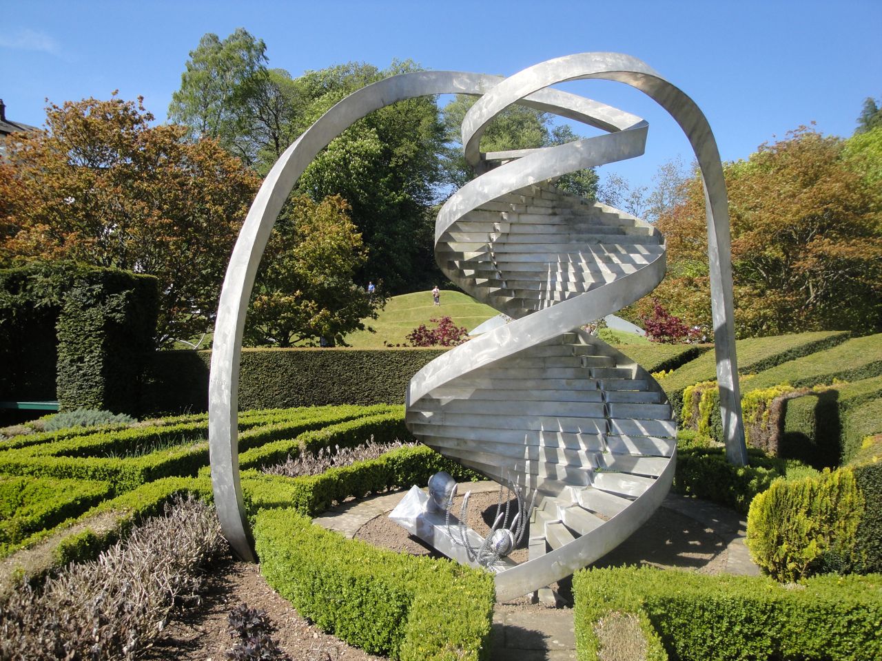
There is a strong science theme with a DNA garden containing several sculptures with helical shapes.

It proved to be a lovely day for wandering around the garden, listening to the pipes being played, looking at the sculpted land and the sculptures placed within the gardens.

Interestingly, I found my camera drawn to wildflowers and the river and set to musing about the artificiality of such gardens. I decided it would be an idea to visit somewhere a little wilder later in the afternoon. Crichope Linn was nearby and I hadn’t been there in many years, so it seemed a good choice.

My internal navigation system failed me at first. I turned off the A76 at Kirkpatrick but missed the Closeburn Mains road. The road started climbing and approached the trees. When I noticed a small sign for Loch Ettrick I realised it must be the road to Mitchellslacks. I didn’t have a map and couldn’t remember if the road was passable to cars if I carried on, so retraced my route back and found the right road.

There is a small parking place for Crichope Linn, just enough for a couple of cars, and it was empty. There is a Covenanter’s trail sign for Crichope Linn, and a Scottish Rights of Way Society sign for Public footpath to Beattock (14 miles via Kinnelhead, or Long Cairn). That would be some walk.

So I set off along the overgrown path, clambering over long fallen trees and edging along narrow bits with sheer drops beside me. There were fewer colours here than in the Portrack gardens, but many more insects and butterflies, and no other people. Even the dead leaves beneath my feet gave the place a feeling of being more real. The waterfall was not as impressive as the last time I was here, during a deluge, but the rocks were drier, and safer.

I presume the Covenanter’s Trail signpost is there because the Covenanter’s used to hide out in the gorge. It must have been uncomfortably wet.

Once I reached the footbridge at about a mile, I had the choice of going back the same way, or heading back on farm tracks and the road which was almost twice as far. I chose the road and although it was further it was quicker.

Which did I prefer? Hard to say, but probably the gardens.

Crichope Linn Photos:

Portrack Gardens Photos:


Posted in Dumfries & Galloway | Tagged , | Comments Off on Nature and Nurture