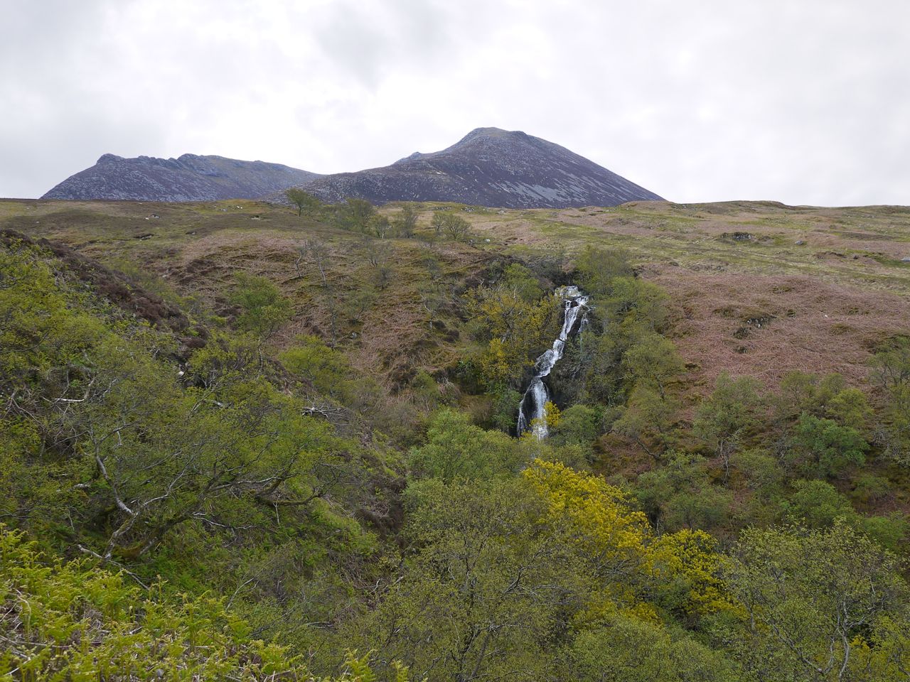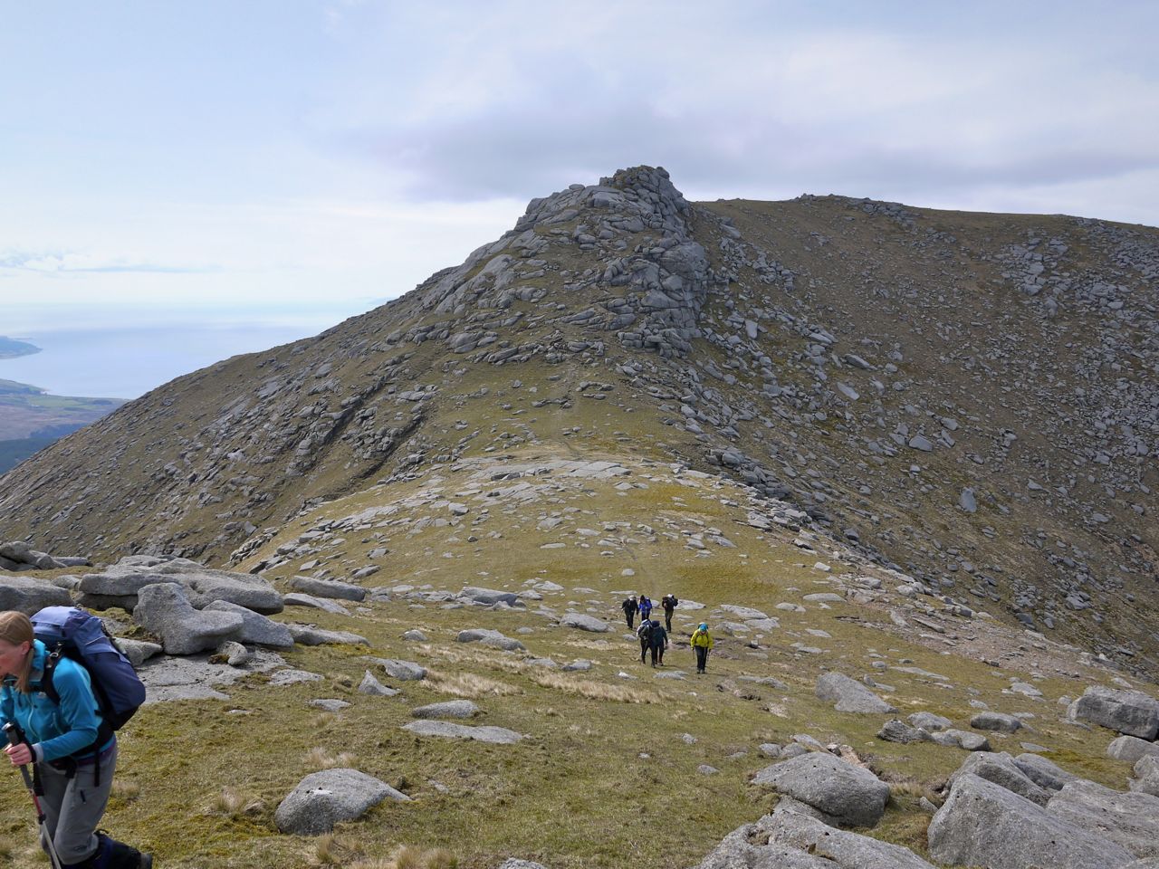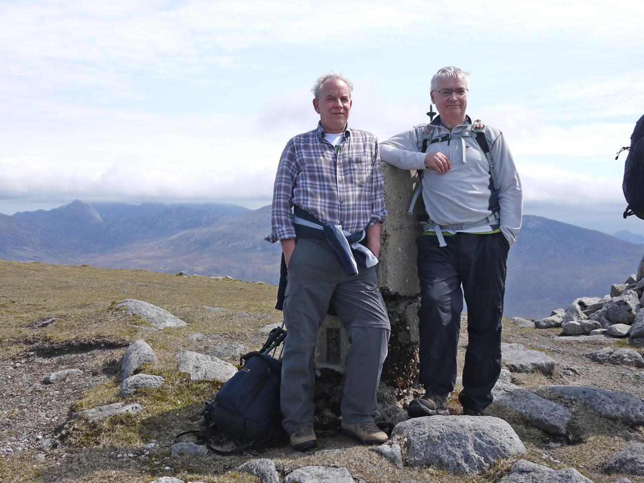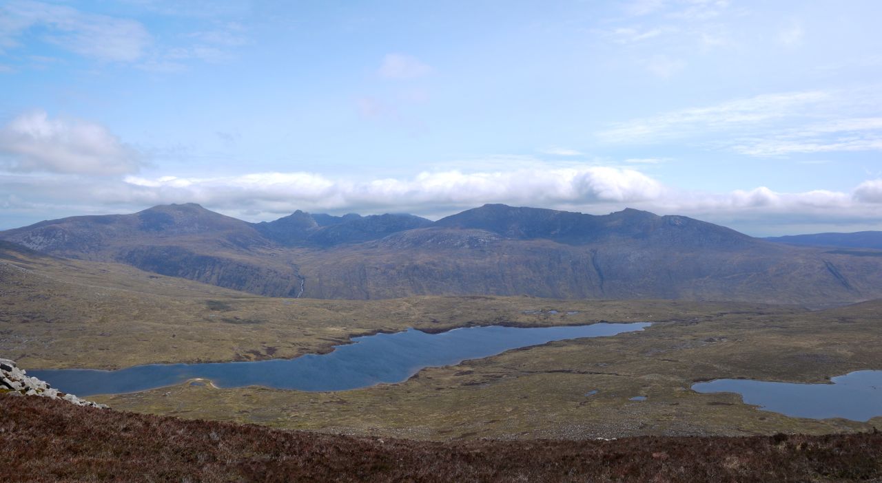
The Crown of Scotland

8.34 miles    3h 50m   534m ascent

Annanhead Hill-Great Hill-Chalk Rig Edge-Whitehope Heights-Whitehope Knowe-Lamb Craig-Crown of Scotland

Thunderstorms were forecast for the west, so I headed for the Moffat Hills, where it was to be raining but quite warm.

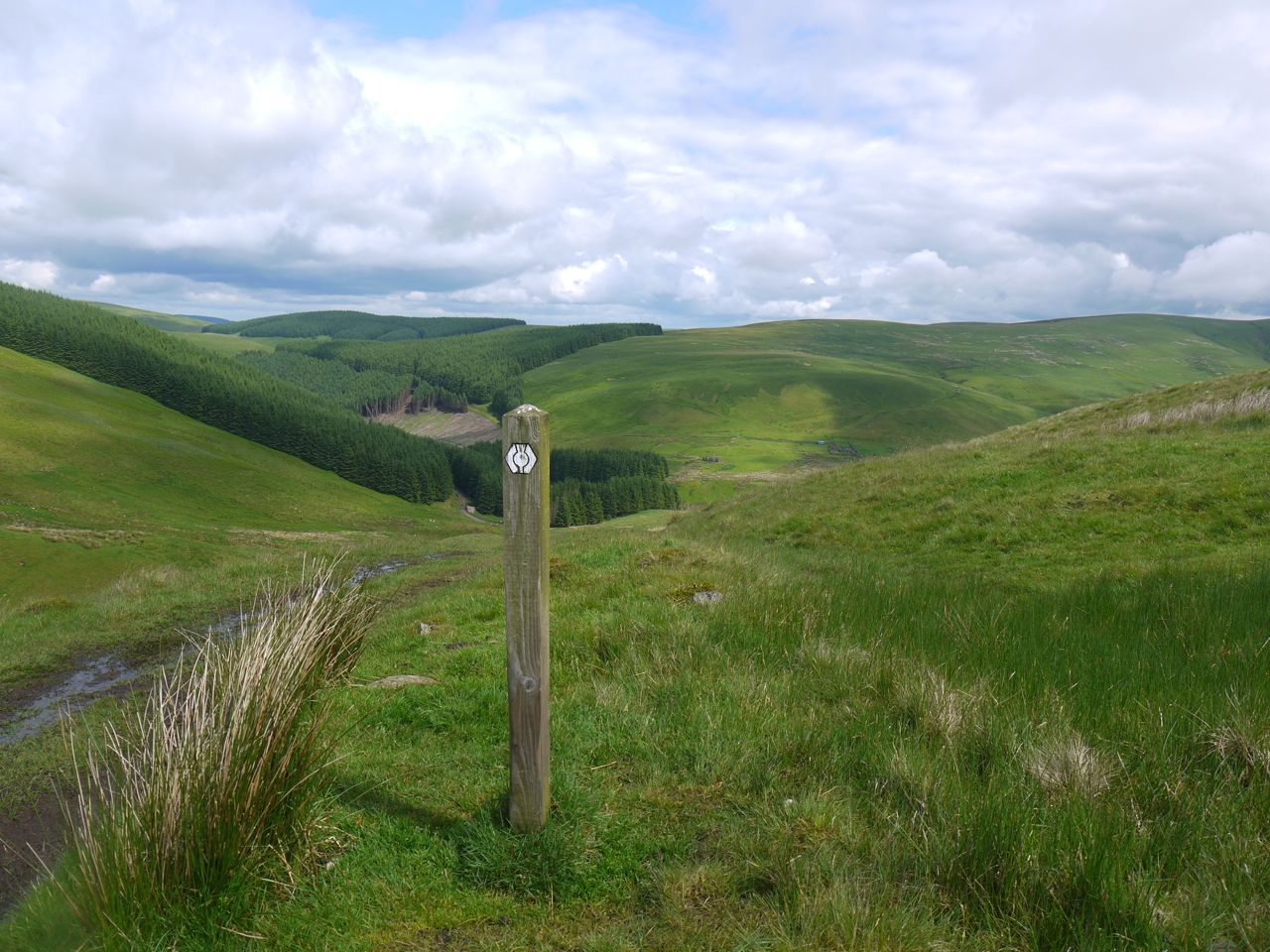
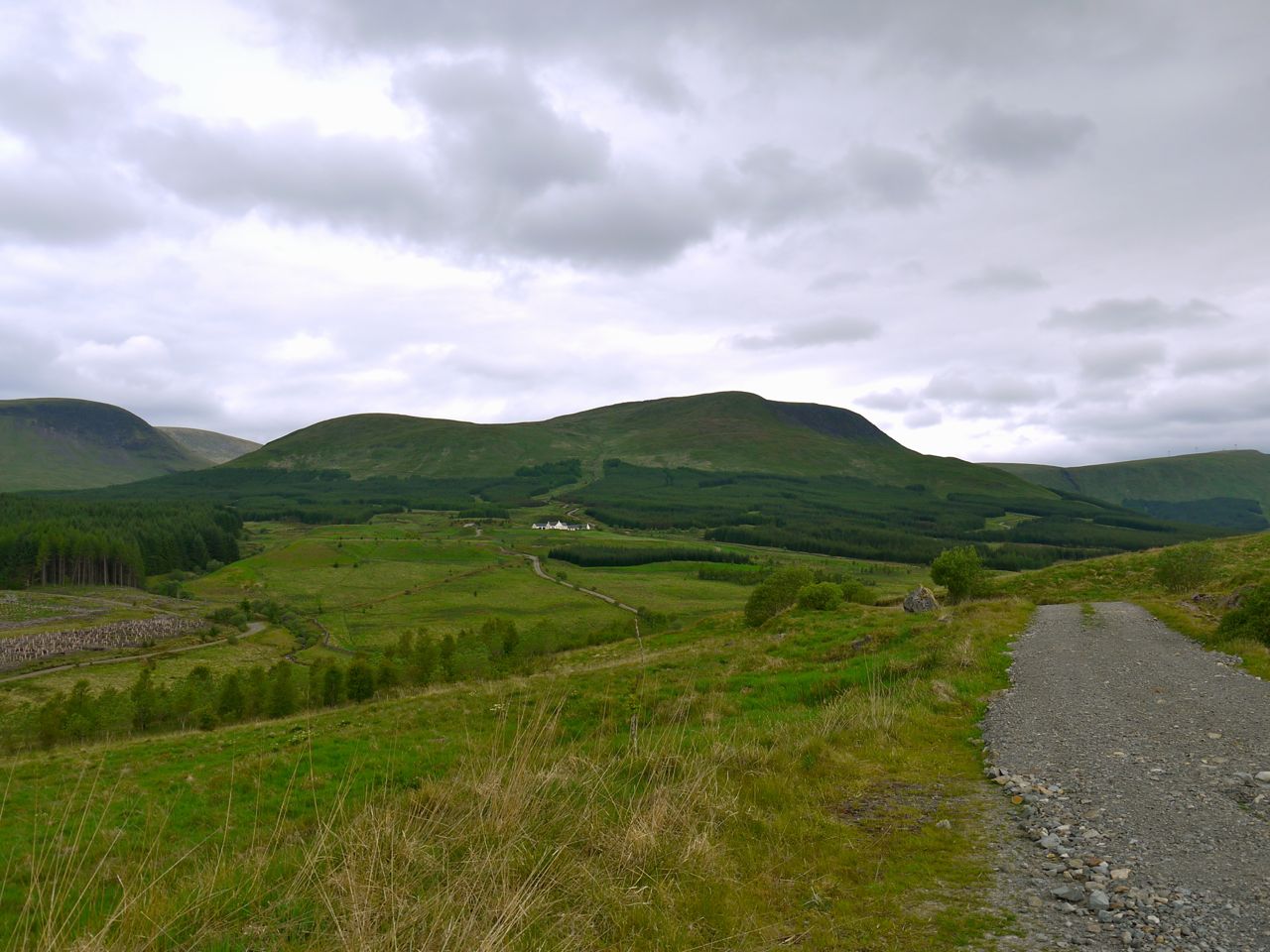
I parked above the Beeftub and set off along the Annandale Way. The last time I had walked along was in rain and mist so I didn’t see much other than wet grass a few metres around myself. This time at least I was able to enjoy a better view and see the way ahead. I was particularly surpassed how narrow the path was at Strait Step. A rather precarious path descends from here to Corehead and I followed it a few metres before heading straight up Great Hill.
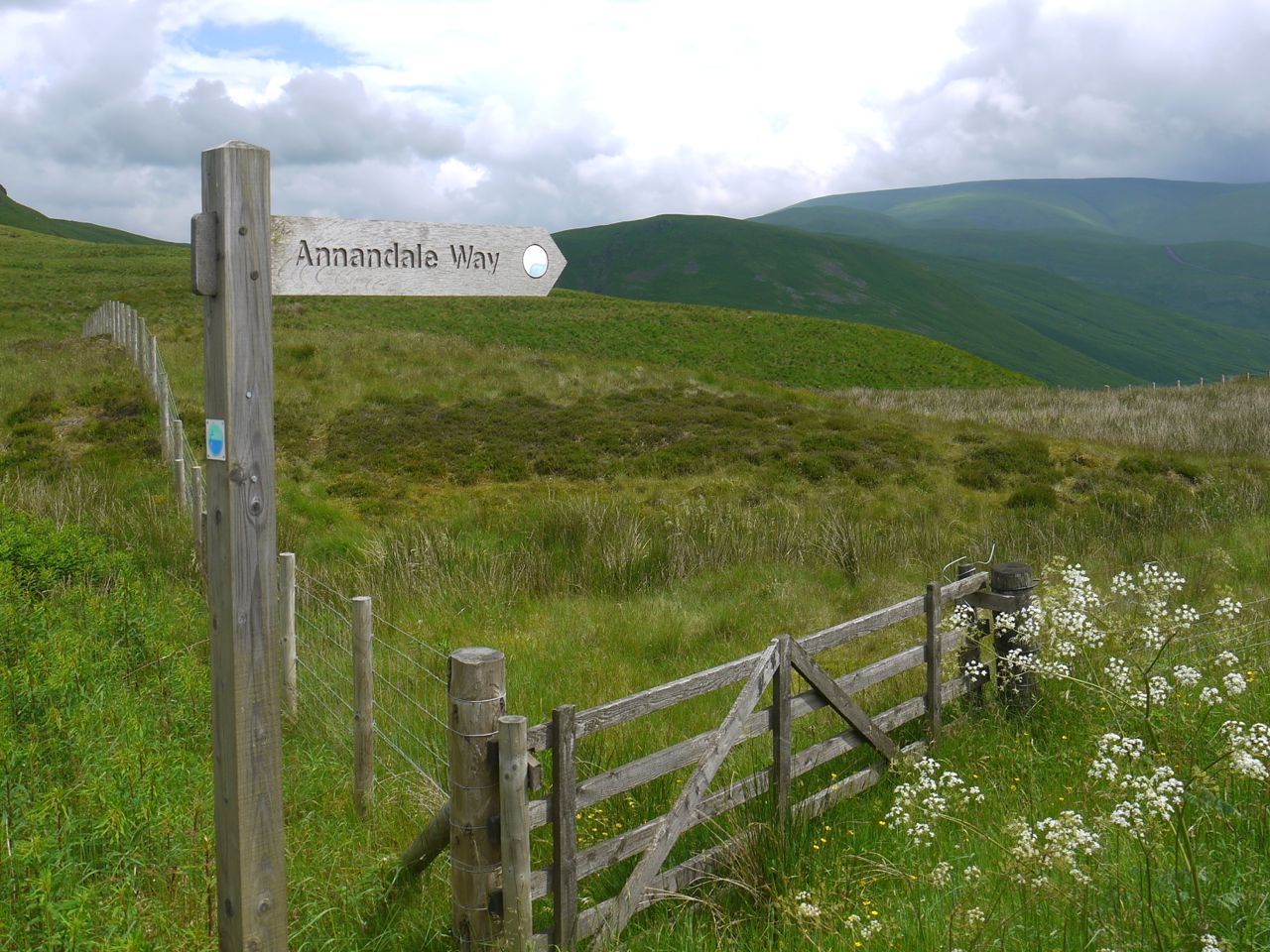
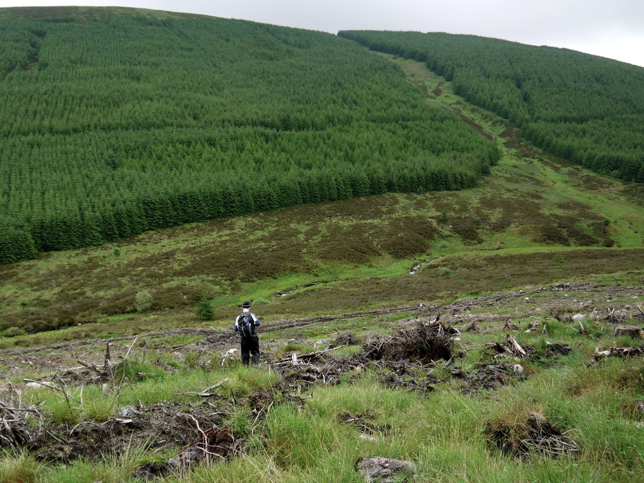
Annandale Way below Annanhead Hill

I had decided to stray from the Annandale Way a little to take in the top of the Great Hill  and get better views. Unfortunately the views both north and south were soon obscured by rain, though it took another hour to reach me.

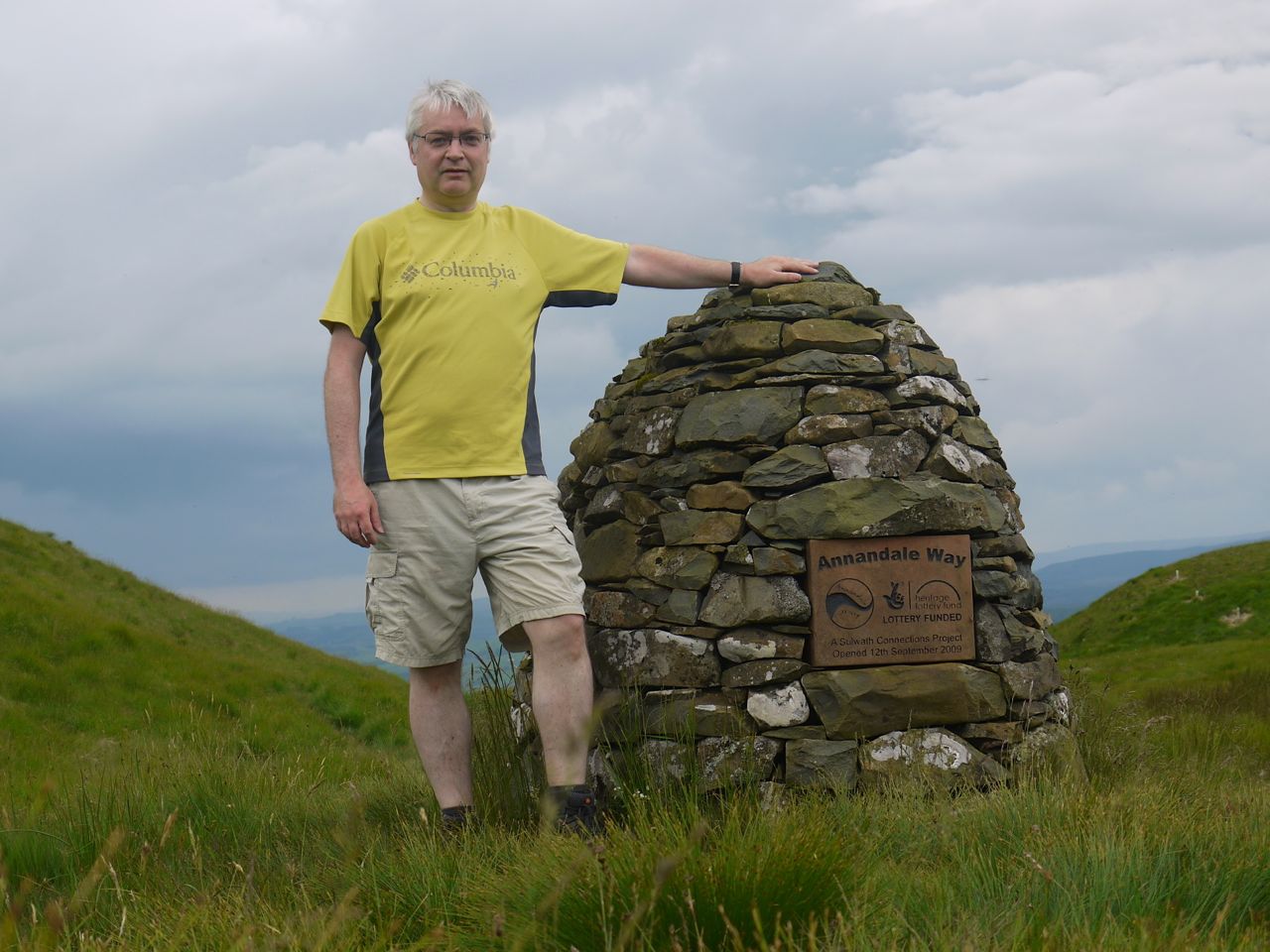
The ups and downs of Annanhead Hill, Great Hill, and Chalk Rig were steeper than I remembered, but I have noticed that walks in the mist seem to be remembered as less arduous. It took about an hour to reach the cairn marking the start of the Annandale Way, which sits in the boggy col below Spout Craig. From here it was a short climb up Spout Craig and onto Whitehope Heights, with several false summits on the way.

A deer fence comes up Whitehope Heights from the south, and I found myself between it and the old fence. This was a particularly muddy section and less firm than I had thought, leading to complete boot immersion during a moment of inattention. My attention at the time was focussed on how I might get over the deer fence to the summit on its far side. A little way down the slope there was a gate in the fence, but it turned out to be padlocked shut, which was slightly irritating. At least the gate was easier to climb than the fence would have been.

I had thought, given how warm it was, that if it rained I would just get wet and only change into dry clothes (safely tucked away in my rucksack) if I got cold. But when the rain came, as I stood looking at the deer fence, it brought with it a cold wind, so I needed a jacket if only as a wind-breaker. Slightly more worrying, I could hear rumbles of thunder, but without any visible lightning to give an idea of how far away it might be.

From Whitehope Heights I followed the fence to Whitehope Knowe and had a good view of the deep valley separating it from Hart Fell. Quite a challenge for those heading that way. The deep scar of Strong Cleuch heading up Hart Fell was a useful marker of my position. I continued along the fence towards Garlet Hill and found myself walking in mist across pathless, wet squelchy ground interspersed with sodden peat. My next target, Barncorse Knowe, was no longer visible, and my back-up plan was to leave the fence when it took a 45° right turn and head west.
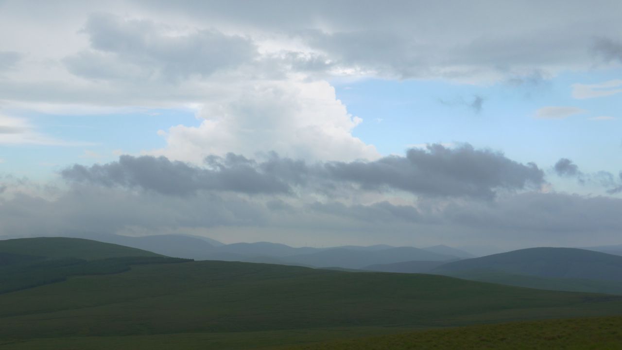
Clouds over the Culter Hills

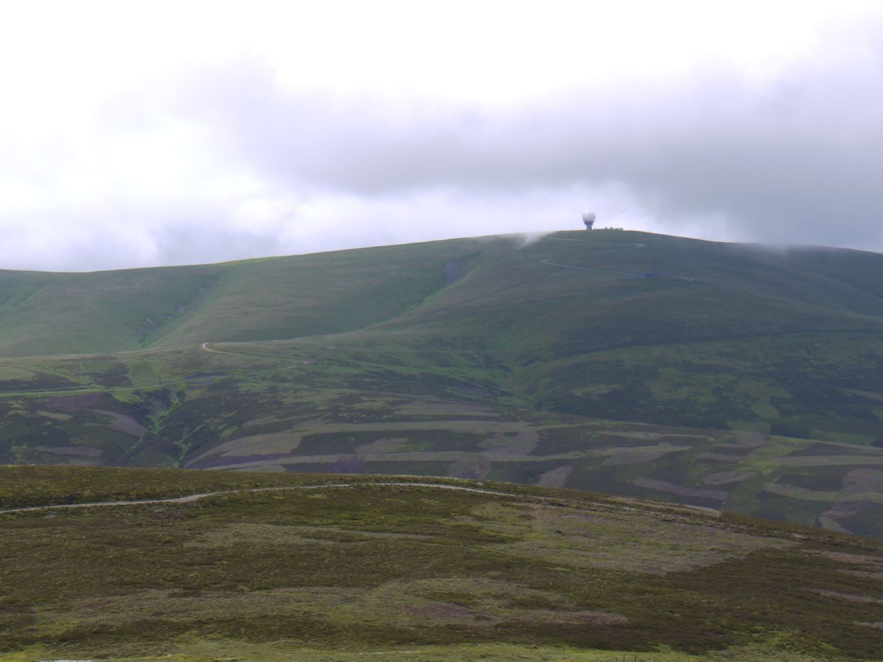
As time went by though, I began to worry that I had missed the bend when I had strayed from the fence to avoid boggy areas. Then I spotted a small change in the fence’s direction and crossed it to head west. I was in fact on Lamb Craig and the mist now lifted to reveal a large radio mast. By the time I reached the mast the mist had lifted completely to reveal some impressive cloud formations.
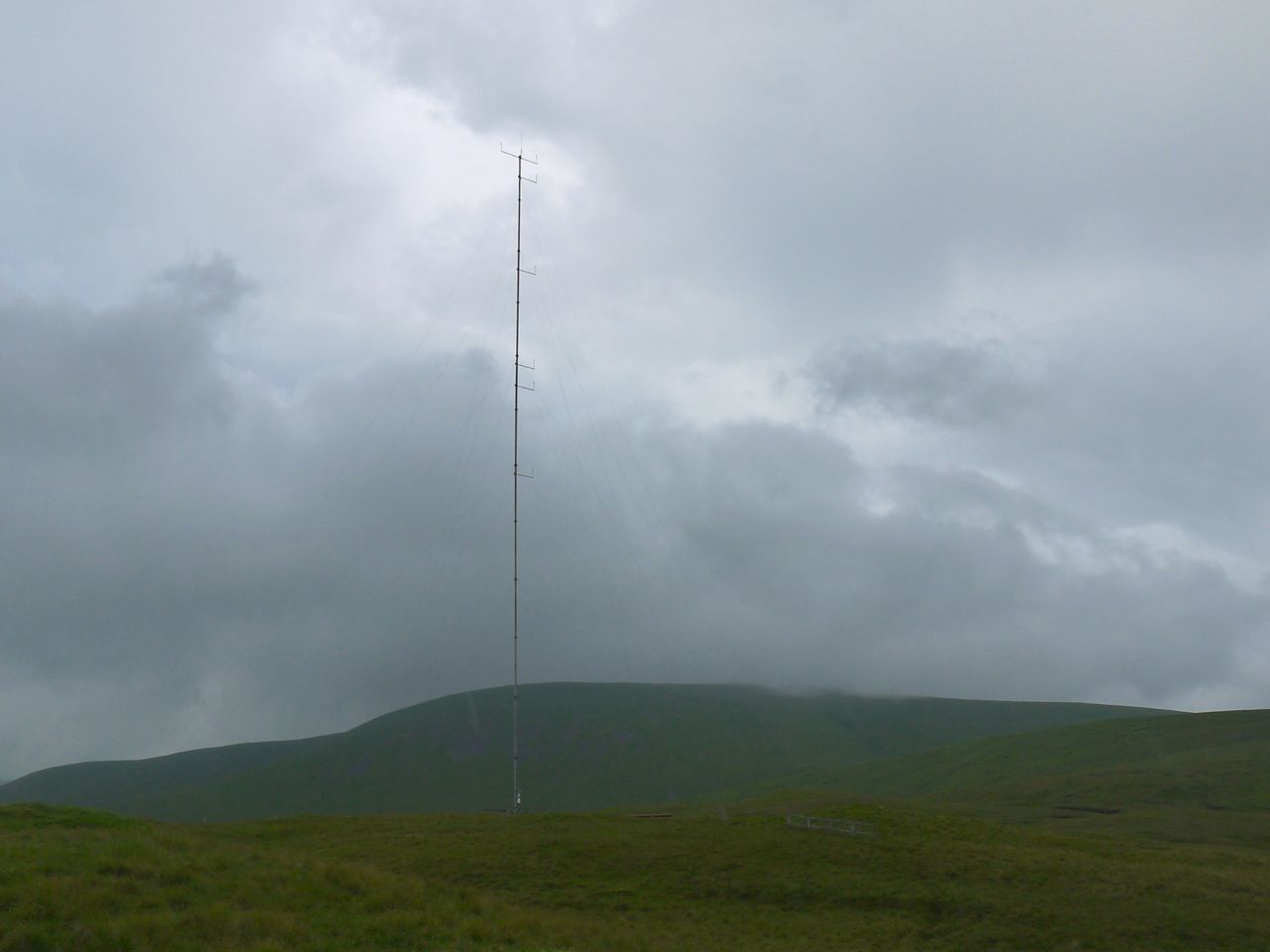
Radio mast on Lamb Craig

The mast had several rocky areas around it, the first places I had an opportunity to put my rucksack down that was not waterlogged. A good place for a brief rest, a drink and some food. I now had a choice of continuing on to Barncorse Knowe or heading directly for the col between it and the Crown of Scotland.

Banana in hand, I was looking up at the mast when it was struck by lightning. The top sparked like a roman candle and the thunder followed very quickly, but not instantly. I presume the “3 seconds=1 km” rule must relate to where the lightning originated in the clouds. My reaction was to grab my bag and put as much distance between me and the mast as I could. This took me down towards the Powskein burn, my flight spurred on by another lightning strike, this time typical forked lightning.

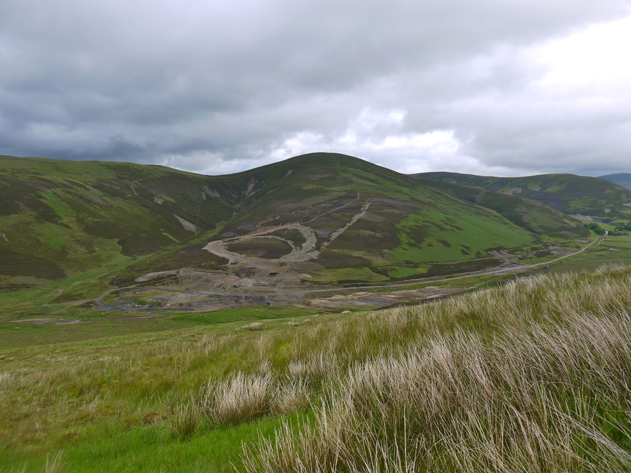
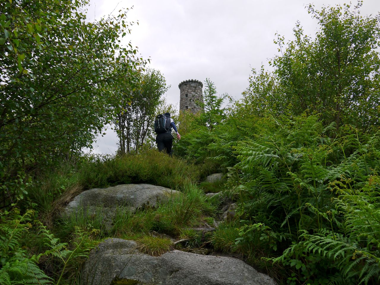
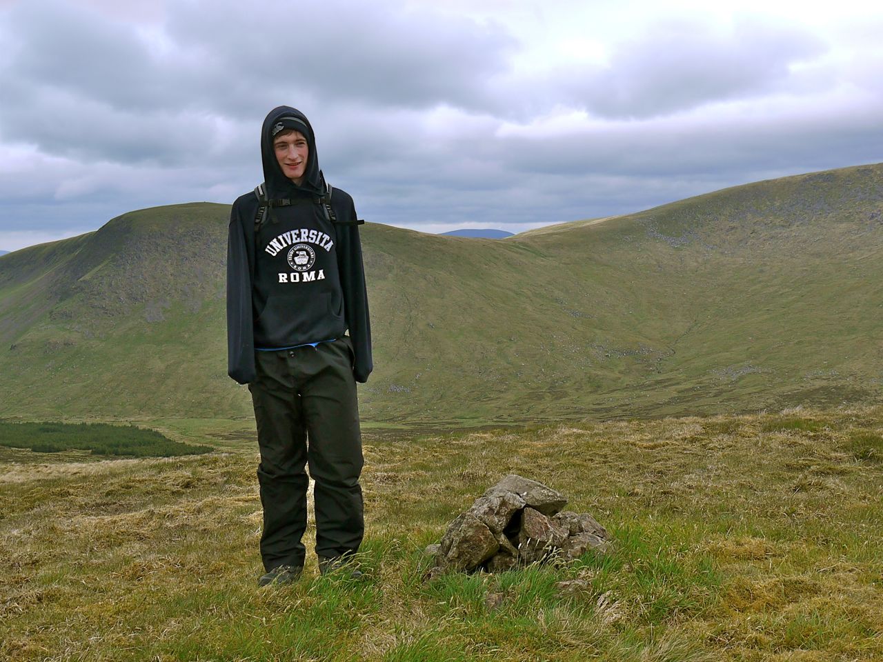
The Powskein Burn is a deep cut, barring a direct route to the Crown of Scotland, so I had to head NW until crossing it, then west to the summit, marked by a small cairn. The views from this small hill are surprisingly extensive, the source of the Tweed, which is either the Powskein or Whitehope burns (not Tweed’s Well), lies beneath you and the hill itself is a historic spot. It is here that in 1306, Robert the Bruce having killed his rival for the throne, the Red Comyn, in Dumfries, was heading to Glasgow and met James Douglas who was carrying a message of support from the Bishop of St Andrews. Douglas here pledged his support to Bruce and was to be his close ally in the years that followed. This is why the hill is named the Crown of Scotland. I had initially been sceptical of a meeting occurring in such a remote place, but a little research suggests that the ancient route north did come this way.

I was tempted to head directly for the ruins of Earlshaugh, but a burn in a deep cutting forces a trek over to Killiecrane Hill. I could see a track winding round this hill and headed for it, only to find that it was actually a water-filled ditch. I presume it started as an animal track and gradually eroded. Further down it joined a faint vehicle track, that though muddy was easier going than the tussocks.
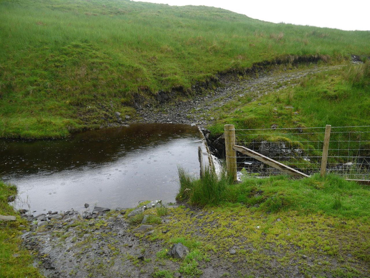
Ford at Earlshaugh

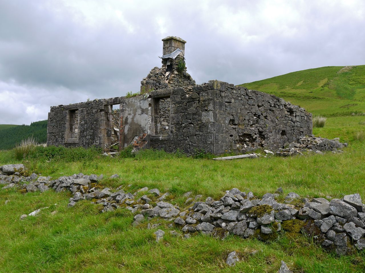
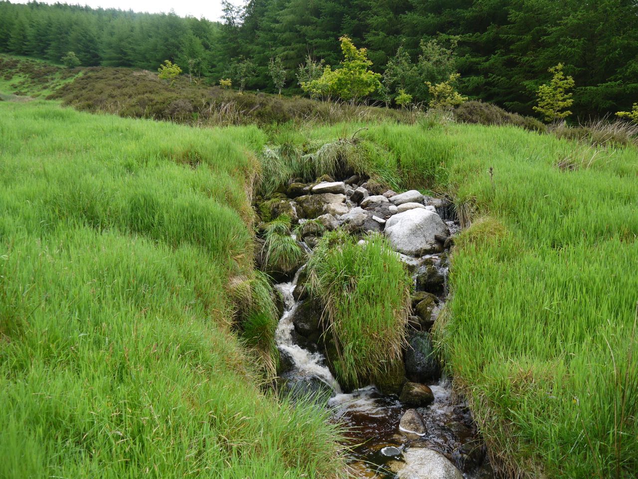
Earlshaugh is a ruined farm and I had hoped to find an easy burn crossing here. The track did lead to a ford. A ford, that is, in the sense that a horse and cart could cross there, but it looked to be about thigh deep. I headed further downstream. The burn was rocky and I suspect would be easy to cross on drier days. Today there were no obvious dry crossing points, so I chose a shallow section and went for it, feeling water entering the tops of my boots. (It was too warm to wear gaiters). There followed a waterlogged section which was a piece of cake since my feet were already squelching in my boots.
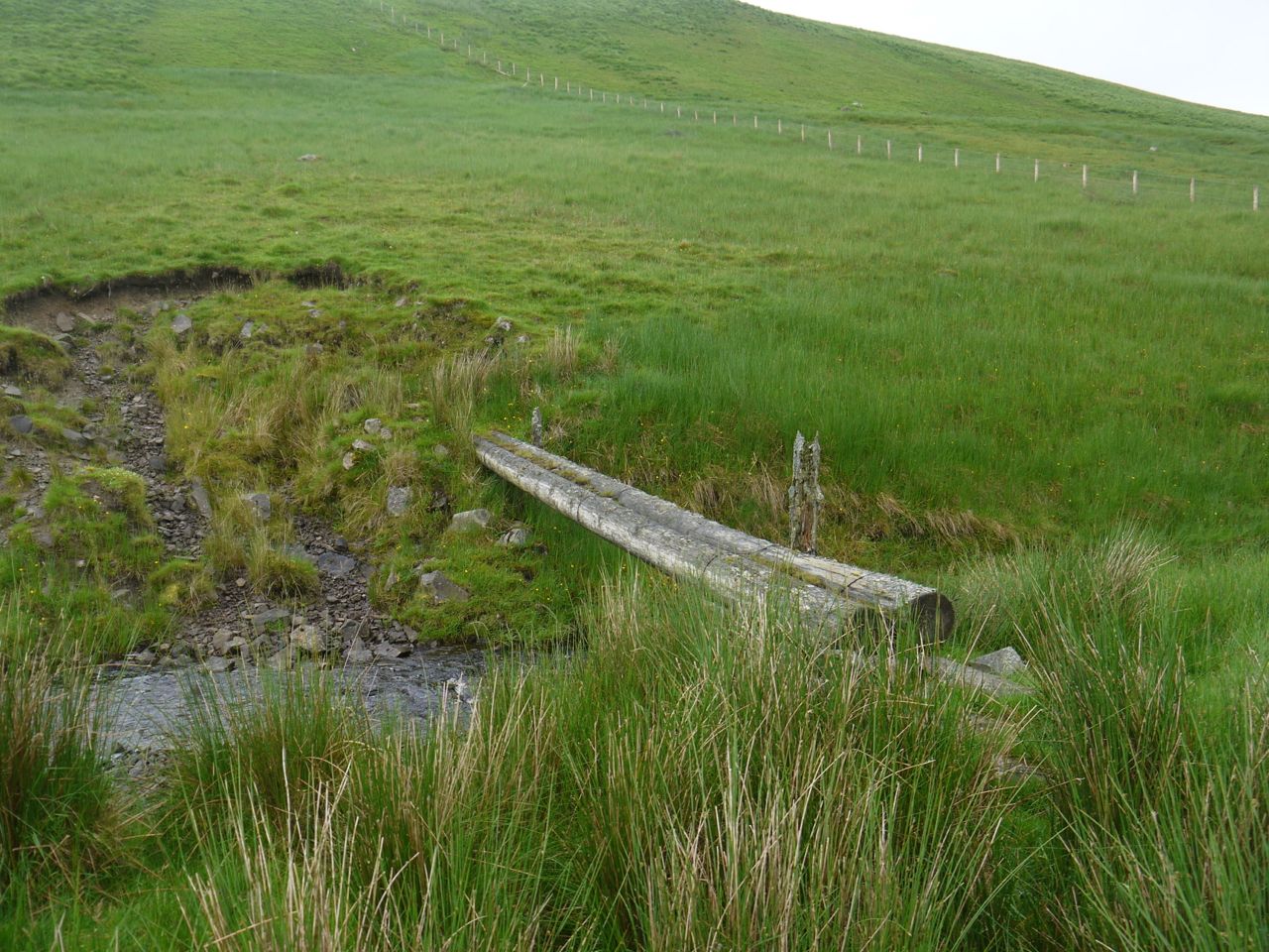
Footbridge near Earlshaugh

One more burn crossing remained, and the OS has a footbridge marked. This was two logs and might have been usable if it hadn’t been wet and slippy. I crossed at another flooded ford a little further along. From here there is a more substantial, albeit muddy, track all the way back to the start.

As soon as I found a rock to sit on I put on dry socks, and despite the boots being wet this made a huge difference. There were a couple more small burns to cross but they didn’t present any problems. The track itself though still needed some care, trying to make me slip at times and on one occasion swallowing my whole boot in chalky mud. Once the track entered the woods it became much firmer and thankfully began to descend.
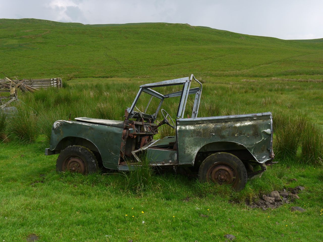
Hill Furniture

This was a more demanding walk than I had expected, not because it was particularly hard, but because I had expected it to be easy. It looks as though it proved too much the jeep. It would have been nice to get better visibility and with the burn crossings and boggy ground in places it would be better done on a dry day.
 

Posted in Borders, Dumfries & Galloway | Tagged , , | Comments Off on The Crown of Scotland

There’s gold in them there hills

8.6 miles   3h 50m   Ascent 604m

Wanlockhead-Black Hill-Green Hill-Stood Hill-Willowgrain-Cogshead-Glengaber Hill

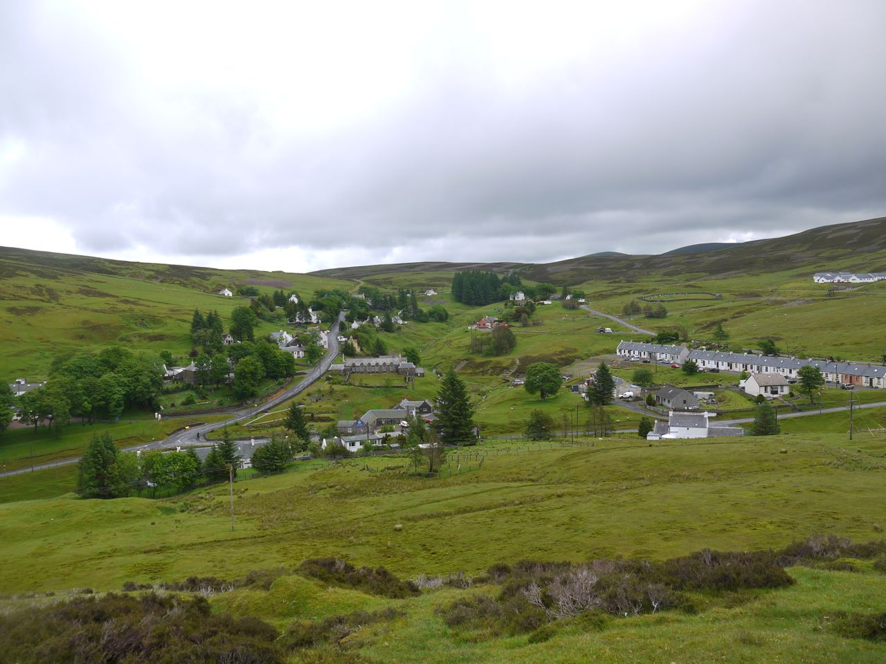
Wanlockhead sits high in the Lowther Hills. It is the highest village in Britain and has a pub that claims to be the highest in Scotland. The village was originally called Winlocke from the gaelic, Cuingealach, meaning a narrow place. Lead, Zinc and Gold have been mined here.

This walk starts from the Visitor centre at Wanlockhead. I headed across the road and up a faint track onto Black Hill. This soon joined a more substantial but eroded path. A great many rabbits were running around but didn’t seem to bolt until I was nearly upon them. There were some wooden boxes built into the hill and I spent a while wondering what their purpose might be. The penny didn’t drop until I had frightened off a few grouse – grouse butts (as marked on the OS map).

Wanlockhead

The track weaves around Black Hill and over to White Dod and Wether Hill, so I had to leave it to reach the top of Black Hill. The slopes of the hill were grass-covered which is a pleasant change from tussocks. The Lowther hills across the Mennock valley were initially topped with cloud but I managed to get one picture when the radar station briefly appeared.

Lowther from Green Hill

From Black Hill I headed over Green Hill to Stood Hill. This was still mostly grass, and a very faint track suggested that this is regularly walked route.  This was still grass, fortunately tussock-free, but once I began to descend between Stood Hill and Willowgrain Hill the path was often waterlogged. Indeed there was water flowing down the track just like a stream.

Willowgrain Hill was a pretty steep climb, and several faint tracks leave the direct climb, presumably where others, either human or animal, have decided to reduce their rate of climb, including me eventually. This hill’s grass was replaced by increasing amounts of sphagnum moss, which was well and truly waterlogged given the recent heavy rainfall. There were tussocks here too, but my demeanour must have kept them off the path.

From Willowgrain Hill I carried on to an unnamed hill, the last hill of the these hills. From here the flat expanse of Nithsdale and a town, presumably Kirkconnel were spread before me. On this hill I learned something about myself. My internal radar/GPS told me that the correct direction for the SUW was to continue walking in the same direction in which I had arrived. Luckily I got out the map and compass and found I needed to turn about 90 degrees right.

SUW above Cogshead

As I approached the Southern Upland Way (SUW) the sun decided to shine, warming my body and soul. The SUW was a more defined path, albeit a little muddy in places. I walked down to Cogshead, where the trees were filled with birdsong. It was only when I heard this that I realised how quiet the hills had been.

Cogshead Ruins

There is a ruined cottage at Cogshead, The inside is filled with nettles and wood that I presume was once a roof. There are some walls nearby though where I could sit for my lunch. There had been nowhere to sit on the walk so far and, as I would later find, nowhere on the hills to come. And the grass was wet.

I had a New York Deli Pie for lunch, chosen when out shopping with Mrs Drow n Smirr. An interesting collection of tastes. I had however somewhat overestimated my appetite, or perhaps underestimated the size of the slice I’d purchased. Next time I’ll take half as much.

The D&G hills are good for solitude. I rarely meet another walker when in the hills. A mountain biker came past while I was having my lunch, the only other person I saw on the hills.

Sowen Dod and remnants from mining

From Cogshead there are two SUW routes to Wanlockhead, I took the shorter route that crosses the col between Glengaber Hill and Highmill Knowe, though I took a brief detour to the top of Glengaber Hill.

Ruins of Mines, Wanlockhead

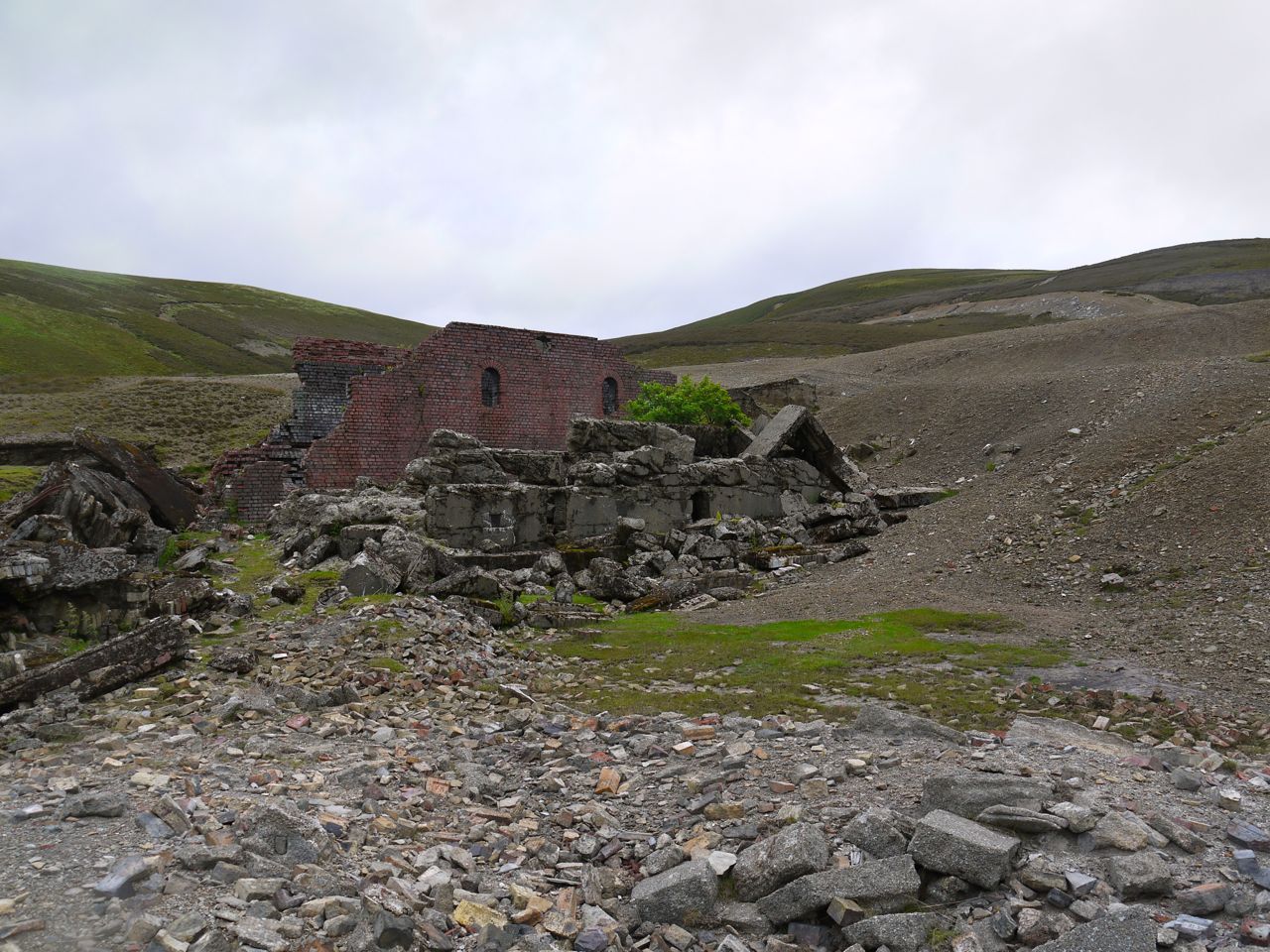
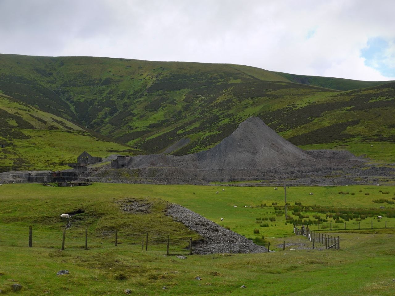
Once across Wanlock Water, the walk back to Wanlockhead was among the ruins of the lead mines. I believe the last mines closed in the 1950s but nature still has a great deal of work to do in re-claiming this land.

Old Mine, Wanlockhead

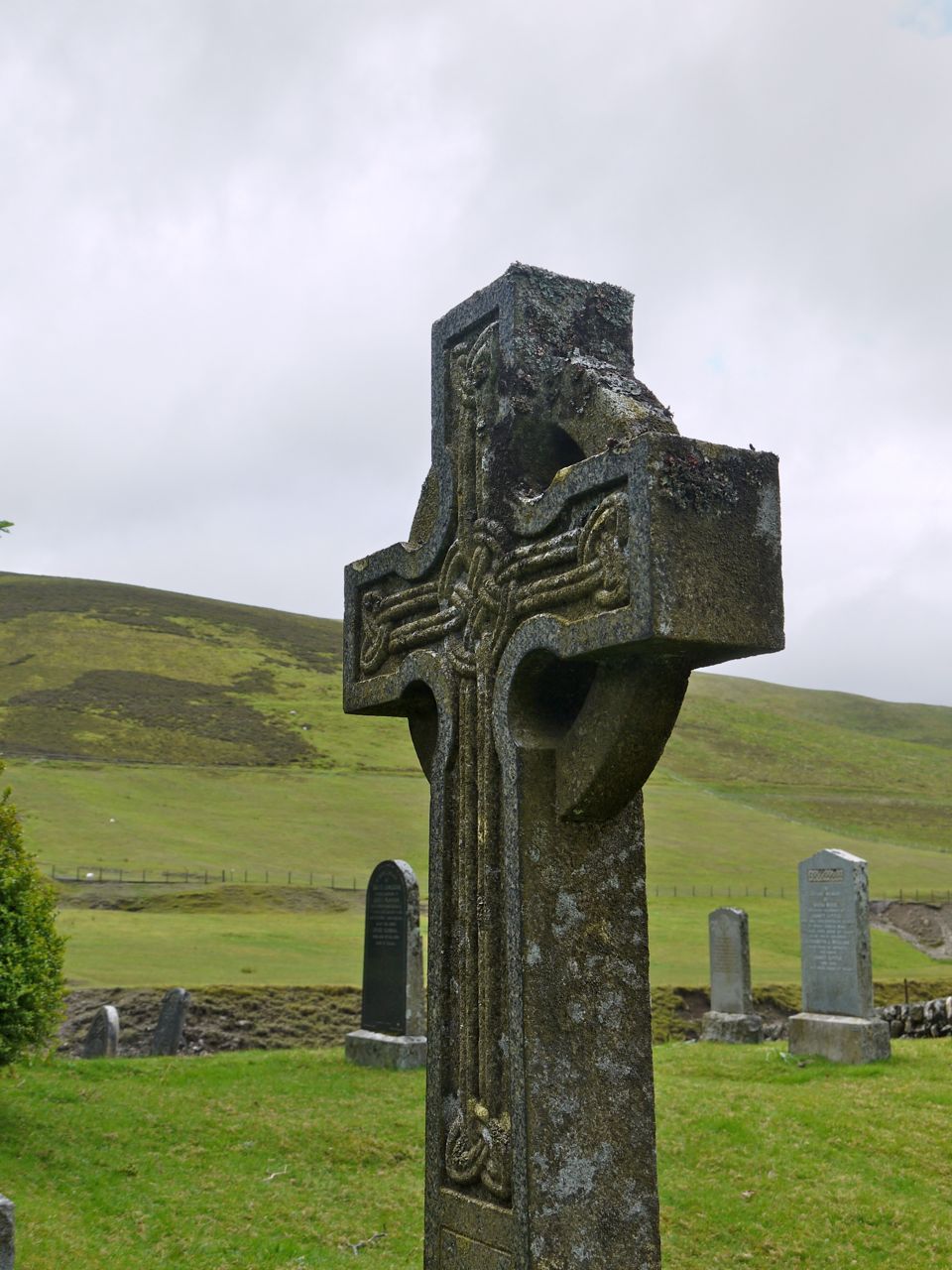
There is a small collection of houses and a cemetery at Meadowfoot about half a mile from Wanlockhead. Though the cemetery has gates, which were closed, there were sheep and lambs grazing amongst the memorials.

Wanlockhead Cemetery

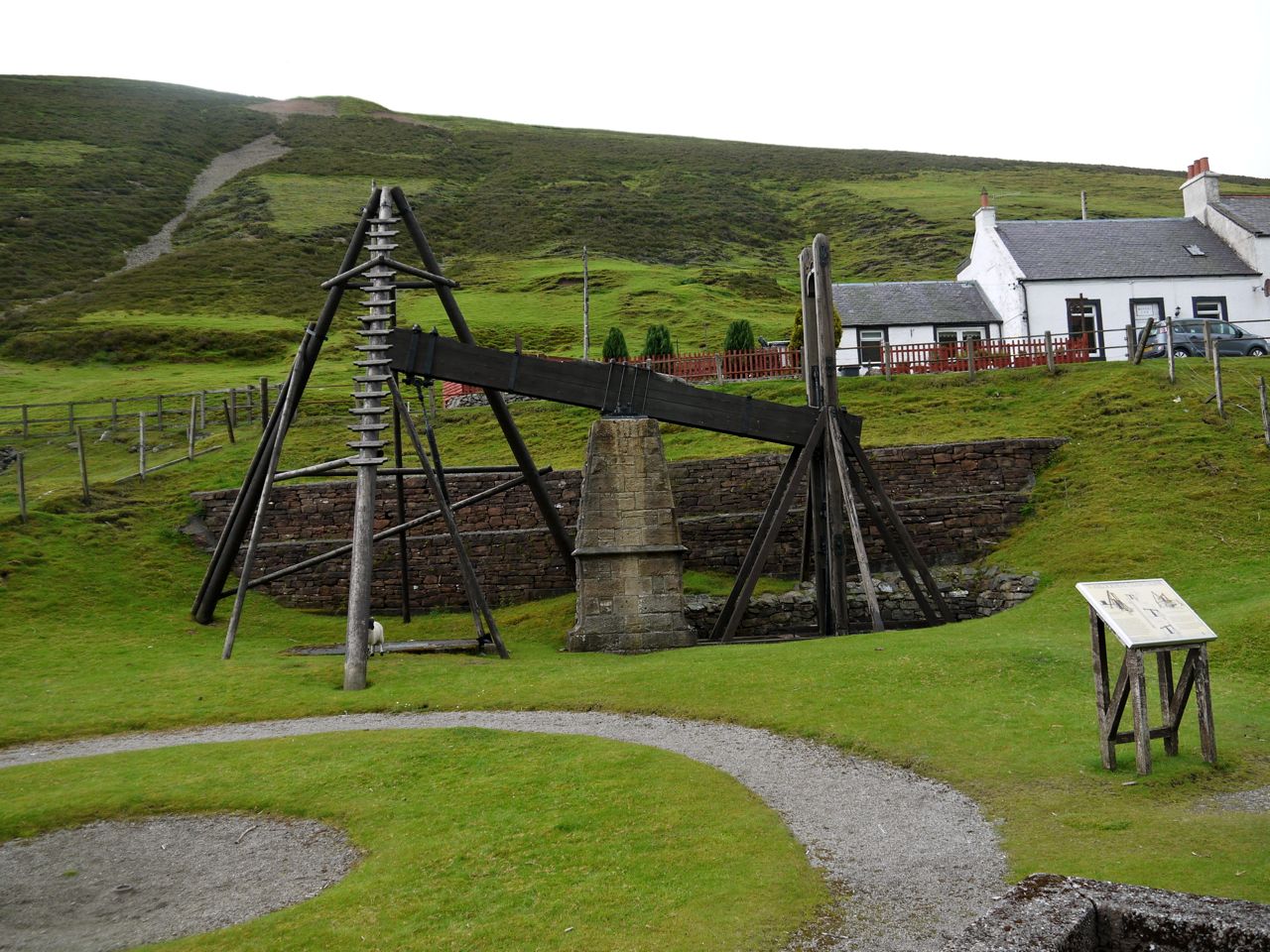
Unfortunately the rain which had been threatening all day, arrived in Wanlockhead as I did, so once I’d had a look at the Beam Engine, I didn’t spend much time exploring the village.

Posted in Dumfries & Galloway | Tagged , , , | Comments Off on There’s gold in them there hills

Criffel

6.25 miles 3h 45m ascent 613m

The Waterloo Monument and Criffel via the Pultarson Burn

We parked in a small car park at Mid Glen, about half a mile from New Abbey. The Glen Burn runs by the car park and there is a wooden bridge across it signed “Criffel 2.5 miles”. We headed instead up to the Waterloo Monument. This is a short but steep climb. I remember this being a tree lined climb ten years ago but now the trees are gone allowing better views of Shambellie House and Sweetheart Abbey. The monument stands on a hill named as Waterloo Hill on the OS map, but referred to as Carsegowan Hill in “Rambles in Galloway” (from 1876) by Malcolm Harper.

Carsegowan is a strange name for a hill, a carse being low lying land near a river. Gowan is usually regarded as an anglised version of the gaelic for a blacksmith (gobha), but the word for goat (gobhar) is similar. I wonder if Mr Harper might have been mistaken in his name for this hill.

Almost at the Waterloo Monument

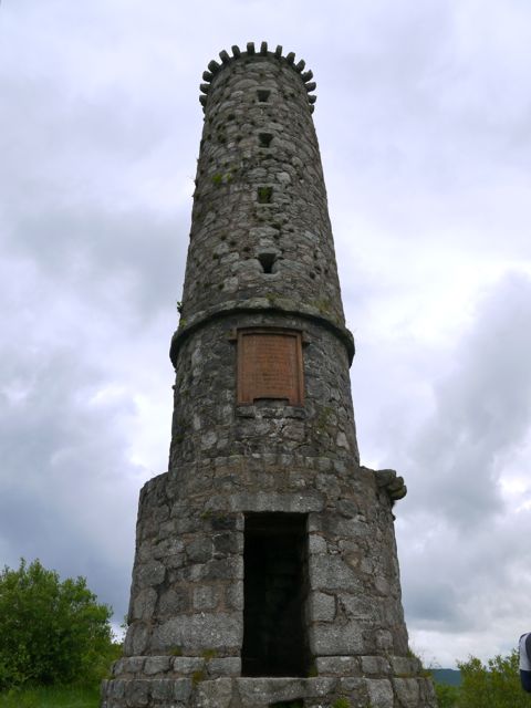
The Waterloo monument is a granite tower about 65 feet high, dating from 1816. There is a spiral stair case inside which can be climbed to the top. It is worth the climb for the views, but beware, there is no safety rail at the top. The inscription reads:

Erected AD 1816
To record the valour
of those British, Belgian
and Prussian soldiers
who under Wellington and Blucher
on the 18th of June 1815
gained the victory of
Waterloo:
by which, French tyranny
was overthrown
and peace restored
to the world

From the monument we headed SW to reach a forestry track. This was unpleasant terrain: the usual felled forest combination of tree stumps, branches, mud, peat, water filled holes (sometimes hidden) and rocks, but five minutes had us on the forestry track. It was certainly a relief to be on terra firm and not have to plan each footstep.

The forestry have been hard at work building new tracks which are not yet on the OS map. We followed one of these as it curved around Kinharvie and Tannock Hills slowly climbing to about 280m. The track runs past a small quarry and several huge mounds of stones. The recent rains must have saturated the higher ground since there were a great many small waterfalls cascading off the hill above us. This section gave us good views of Knockendoch and Criffel’s western slopes and our first glimpse of the forest break, with the Pultarson burn, we would be climbing later. The Pultarson burn takes its name from Poll (pool or water) and Tarsuinn (across or oblique).

Pultarson and Glen Burns

I had hoped that the track might have been extended since google earth’s pictures were taken, but I was to be disappointed and the track ended at NX944631. Below us was a 200m traverse of felled forest terrain, but at least we were heading downhill. We easily crossed Glen Burn using some handy rocks but found that the beyond the burn was bog and tussock. A hidden hole here put me on the floor.

Pultarson Burn

I was beginning to worry that the ground beside the Pultarson Burn might be the same all the way up but I was pleasantly surprised. There was little in the way of tussocks and the terrain was mostly grass with small areas of heather. Presumably the ground on Criffel is very friable and rapidly deteriorates into mud if walked on repeatedly. This route by the Pultarson Burn has no discernible path and is therefore free of the mud that the ruins the other paths.

All was not, however, sweetness and light. We paused briefly to don waterproofs and were immediately set upon by a horde of vicious midges. The rain didn’t come to much but the long sleeves and hoods were needed for protection for a while. Conor even had bites on his legs despite wearing long trousers (for once).

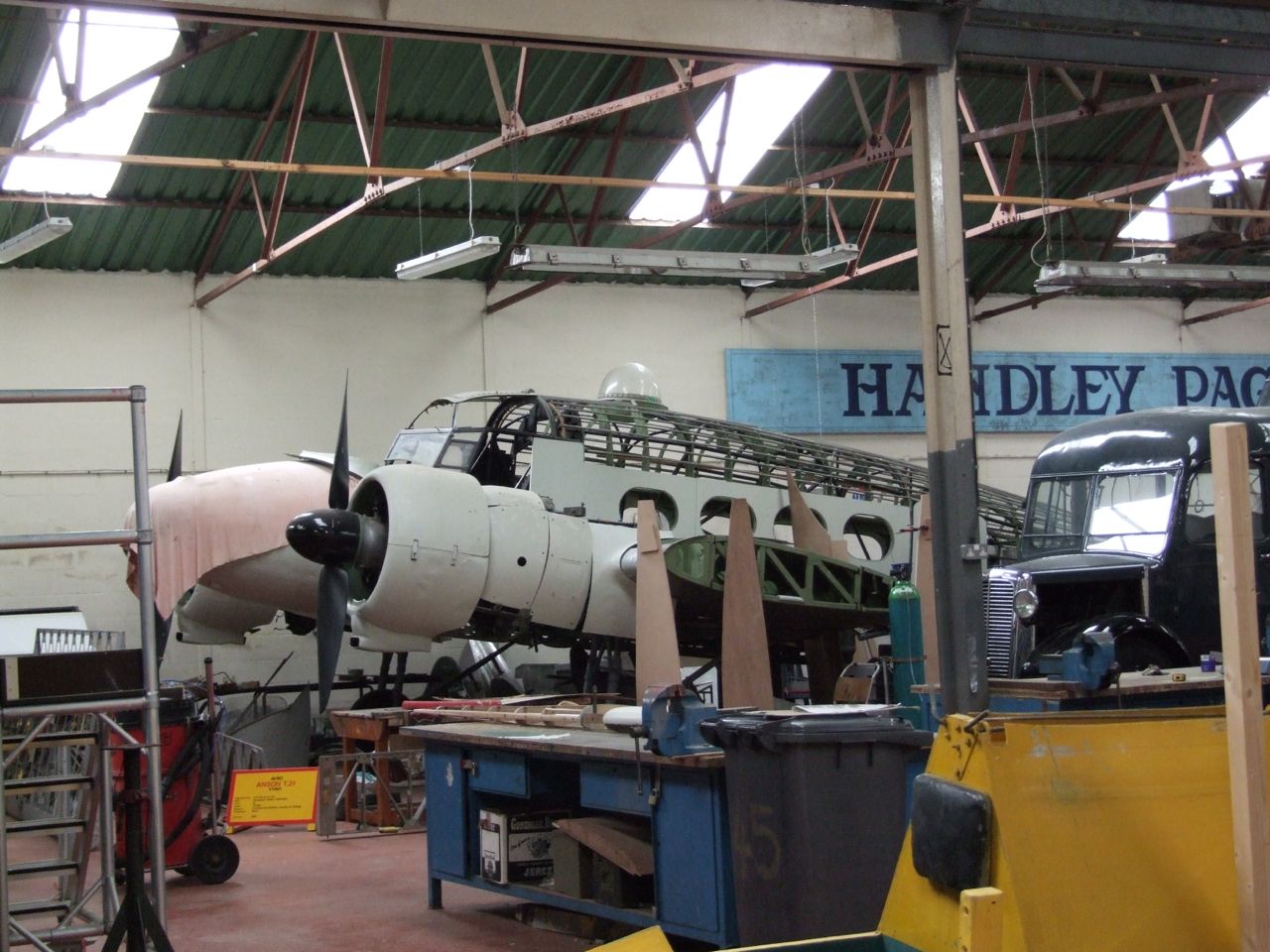
What an Anson looks like

We climbed past the tree line and crossed a fence where it had fallen down. This had us on the slopes of Criffel marked on the OS as “Old Fell”. An Avro Anson crashed here (NX953622) in 1944 but now there is just heather and peat hags.

We headed over the heather to the small cairn at a secondary summit about 300m from the real top. Here we were greeted with views of the Solway, and its D&G and Cumbrian coasts. The visibility wasn’t great but we could see as far as Cairnsmore of Fleet which had its top in cloud.

Criffel Summit

The trek to Criffel’s summit proved a little easier, with faint tracks where others had walked the same way before us. Criffel’s summit has a trig pillar with a surrounding shelter, a large Cairn, to which someone had attached a Saltire and the remains of some stone dykes. The cairn is supposed to date from the Bronze age (though I don’t know how a cairn like this can be dated), but is named Douglas’s Cairn which must be a more modern name. I can see why the summit would have been an excellent place for a lookout.

Criffel, or Mons Crefel, was recorded on a map thought to date from before 1330. The name is probably Norse, Hraka Fjall, Crow Hill.

From the summit we headed for Knockendoch  (Cnoc an doch). Cnoc means hillock, but I’m less certain about the Doch. I’ve read it might come from Dubh (Black Hillock). Its covering of heather makes this believable but the sound isn’t right, unless the dubh has evolved to rhyme with the first syllable. I wonder if it might have come from Daugh, an anglicisation of Dabhach, which is an old Scots measure of land. (I claim no expertise in etymology).

The shape of Criffel places Knockendoch below the horizon when you are at the summit. A bearing sent us off along a well trodden, and muddy, path which I presumed was that heading for Ardwall so we then struck off across the heather to gain the ridge between the two hills. I’ve done this before and can’t help but think there is a path somewhere. As it was we met a path as we descended to the col. This was a definite path all the way to Knockendoch but looking back to Criffel it just seemed to disappear into the heather. Perhaps it has become overgrown.

Path off Knockendoch

Knockendoch has a small cairn and more good views. From here we could look across to the Waterloo Monument where we had started and down the wall that would be our route back to the car. Loch Kindar with its small island, which contains the ruins of a church, and a smaller Crannog, lies below Knockendoch. This area, which is now called New Abbey, was once called Lochkinder and may take its name from the british cyn-dur (chief water).

Loch Kindar

This descent from Knockendoch requires care since it is muddy and sometimes steep. Stepping down into slippery mud is disconcerting but I am proud to say that we didn’t end up flat on our backs in the mud.  Though there were a few near things.

If the mud gets to you, there is an escape by following a wall from 265m down to the forest track. But we continued down the muddy path. At 110m a small track leaves the muddy path and weaves, mudless, through the trees to join a forest track for a while before entering the trees again. This gradually changes from a forest path to a more manicured affair with planted rockeries etc by its side.

Once back at the car we were able to rinse our boots free of mud in the Glen Burn.

Posted in Dumfries & Galloway | Tagged , | Comments Off on Criffel

Bengairn – Screel’s forgotten twin

4.5 miles   2h 5min  Ascent 324m

Bengairn

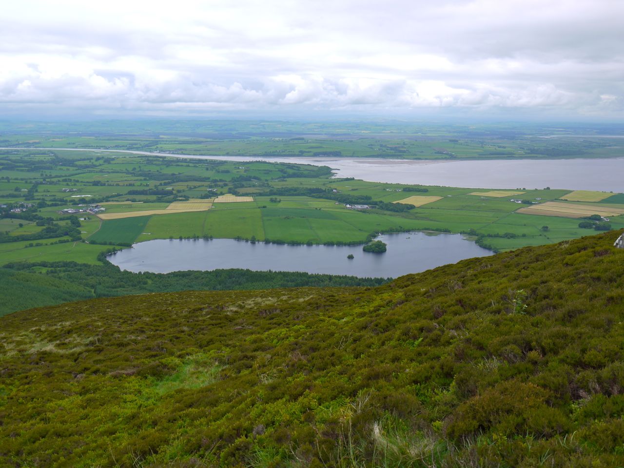
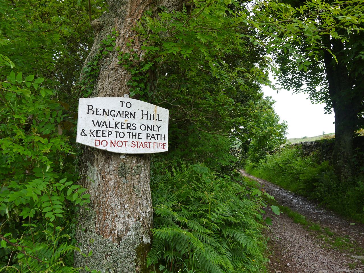
We parked at the Bengairn Hill sign (Do not start fires), on the track from the A711 to Mains of Collin, just above Bengairn Loch. A farm track climbs gently through the trees of Forest Wood, and while walking we spotted a deer. Tempted as you might be to drive further along here, don’t, there is nowhere to park.

Lying sign (it's 1.6 miles)

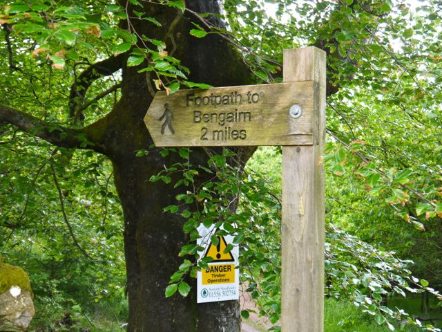
After about two thirds of a mile the track comes to a wide gate and emerges from the trees. The gate wasn’t for opening and many rungs were adorned with mud (of the farm variety), to make climbing it more interesting. A sign here states “Footpath to Bengairn 2 miles” but we made it 1.6 miles.

There is a dog-leg in the track here and a branch heads off towards east towards Greenhill, whereas we turned north. The path here runs beside Greenhill wood and the view of Bengairn is obscured by Forest Hill, which is a spur of Bengairn itself. Soon enough though the tip of Bengairn appears.

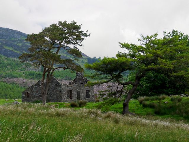
Ruins at Foresthill

After passing between Greenhill wood on our right and a stand of trees to the left we were in a wide flat area with the ruins of Foresthill Farm. At this point most of Screel is hidden behind Mid Hill, only its southerly section peeping out.

Past the ruins at Foresthill the ground looks to have been cleared and fenced in the past and remains greener than the surrounding area, due mainly I think to the lack of heather. There is a gate between these green fields and the wilder flora of the hill. I say a gate, but it would require quite some effort to open it. It sits amid a lochan in the making.

The wall either side of the gate is augmented by a barbed wire topped fence, so we picked our way from stone to stone then climbed the rickety gate. This took us from firm grassland to squelchy bog.

My original plan had been to head up to the col between Mid Hill and Bengairn but we found, and followed, a faint quad bike track which took us up a more direct route. As is often the case, having taken us off our original route this track then disappeared. Presumably quad bikes usually come up to there then turn back.

From here we headed up a cleft in the hill and wound our way to the summit avoiding the larger puddles.

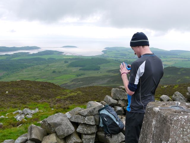
Bengairn Summit

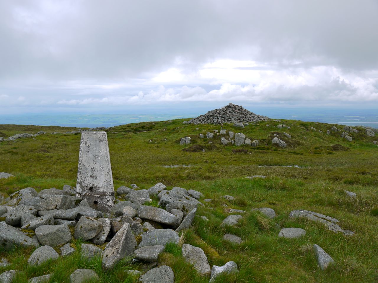
At the summit is a trig pillar surrounded by a shelter, and a large cairn, about the same size as that on Screel. We had chosen to visit in cloudy weather with rain threatening so visibility didn’t allow us to see distant features. There was however a good view of Almorness and the adjacent Islands and we could see the wind farm in the Solway.

Many of the descriptions of walks joining Bengairn and Screel recommend bypassing Mid Hill because it is impassable due to forestry. Much of this has been felled, which tends to make the terrain very difficult but there is a definite forestry track coming over Mid Hill now which could provide an easier connection between the Glen of Screel Burn and Troudale Gill. Today, however, was not a day for exploring.

Sheep-jam ahead

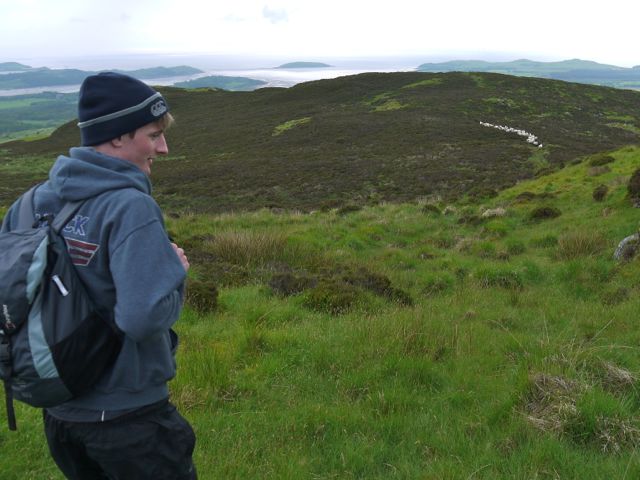
From Bengairn (Beinn na Gcairn, hill of the cairn) we decided to head down over Forest Hill since retracing our steps sounded boring. Forest Hill is a spur of Bengairn made of several heather covered hillocks. We found a track and Conor asked whether I thought it was an animal track or a sign that other humans had come this way. The answer was soon obvious when we saw a sheep jam on the path up ahead.

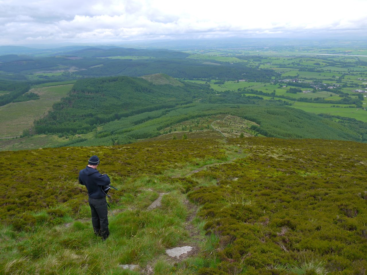
Forest Hill was mostly easy going and would seem a better way up Bengairn than our original route. It is mostly heather until the lower reaches when there is more fern and eventually a short boggy section. It was wet enough that we came across a frog. We headed down towards a stand of trees at about NX784535, where there is a gate in the wall (another one for climbing rather than opening).

From here we traced our steps along the farm track to the car.

.

Posted in Dumfries & Galloway | Tagged , | Comments Off on Bengairn – Screel’s forgotten twin

Moorbrock – The Polifferie Round

9.6 miles   4h 14min     ascent 686m

Moorbrock Hill-Keoch Rig-Mid Hill of Glenhead-Dodd Hill

The walk starts at the entrance to Moorbrock Estate about a third of a mile beyond Craigengillan bridge. The gates were locked but there was plenty of space to park without obstructing the entrance. We had a few spots of rain on the windscreen as we approached the start, but that was the only rain we had all day.
Track to Moorbrock

The estate road slowly climbed, through the forest, past many erratics, over a spur from Dodd Hill. As we left the trees the road began to dip down towards a small bridge over the Polifferie Burn and we had our first view of Moorbrock Hill and Benniner beyond it. The track we were on, standing out a bright white against the green surroundings could be seen winding up to Moorbrock Farm and then onto the hill itself. At this point we passed the junction with the track we were to return on later in the day. It is not on the OS map so confirmation of its existence was welcome at this stage.
The Polifferie Burn (poll a’ foithre, the stream in the woods) appears from the tree covered valley that we were to walk around, and joins the Water o’ Ken at Craigengillan. Close to Moorbrock Farm are a series of terraced ponds which must have some purpose but I don’t know it. The farm buildings were very neat and clean, looking much more like a holiday home than a working farm but it is a bit isolated for a holiday, and Conor wondered if it might be useful for a witness protection program. There was no sign of life and I was tempted to glance into the window of a building as we passed, but decided that would be rude.

The track diverges at the farm, one route heading north up the valley and the other, which we took, climbing northwest beside the Poltie Burn (poll tighe, stream of the house) onto Green Hill. The gradient here picks up enough to require shedding of layers.

Here I had my first experience of Jelly babies clubbing together. The packet had been stored in the boot of the car and I had tossed it to Conor as we set off. As we paused to divest and have a drink he opened the packet. The JBs had fused into a single mass which proved surprisingly difficult to rip apart. At least we didn’t have any of that bother about choosing particular colours, each lump torn from the mass was multi-coloured. It does say on the packet “Store in a cool dry place.”

About half a mile after the farm the track takes a sharp turn to the left to slowly climb around Green Hill, but we chose to head straight up the beside the Poltie Burn. This is a bit steeper but saves about two thirds of a mile. The way up beside the burn is amongst tussocks at first but becomes easier as height is gained. Looking back during brief pauses for breath we could see Criffel on the horizon. We rejoined the track at about 590 metres, and the going was easier after that.

The summit of Moorbrock Hill is not marked, though it is reasonably obvious where it is. Once on the top the views certainly opened up. To our left was Beninner and Cairnsmore of Carsphairn. The gairies of each don’t look inviting to walkers but there are walkable spurs at either end of these hills. I had been tempted to turn that way but decided to stick  with the plan. Ahead of us was Windy Standard and the Afton Hills. To our right, Dodd Hill with a lochan at its top.

Moorbrock's North top giant cairn

Moorbrock has a secondary summit at its northern end and this was marked by a small cairn. Perhaps cairn is an exaggeration for what is really just a small pile of stones. Walkers should be asked to carry some stones up to make this more presentable. From Moorbrock we headed down, out of the wind, to the col between Moorbrock and Keoch Rig, a sheltered spot, with rocks to sit on while having a bite to eat.

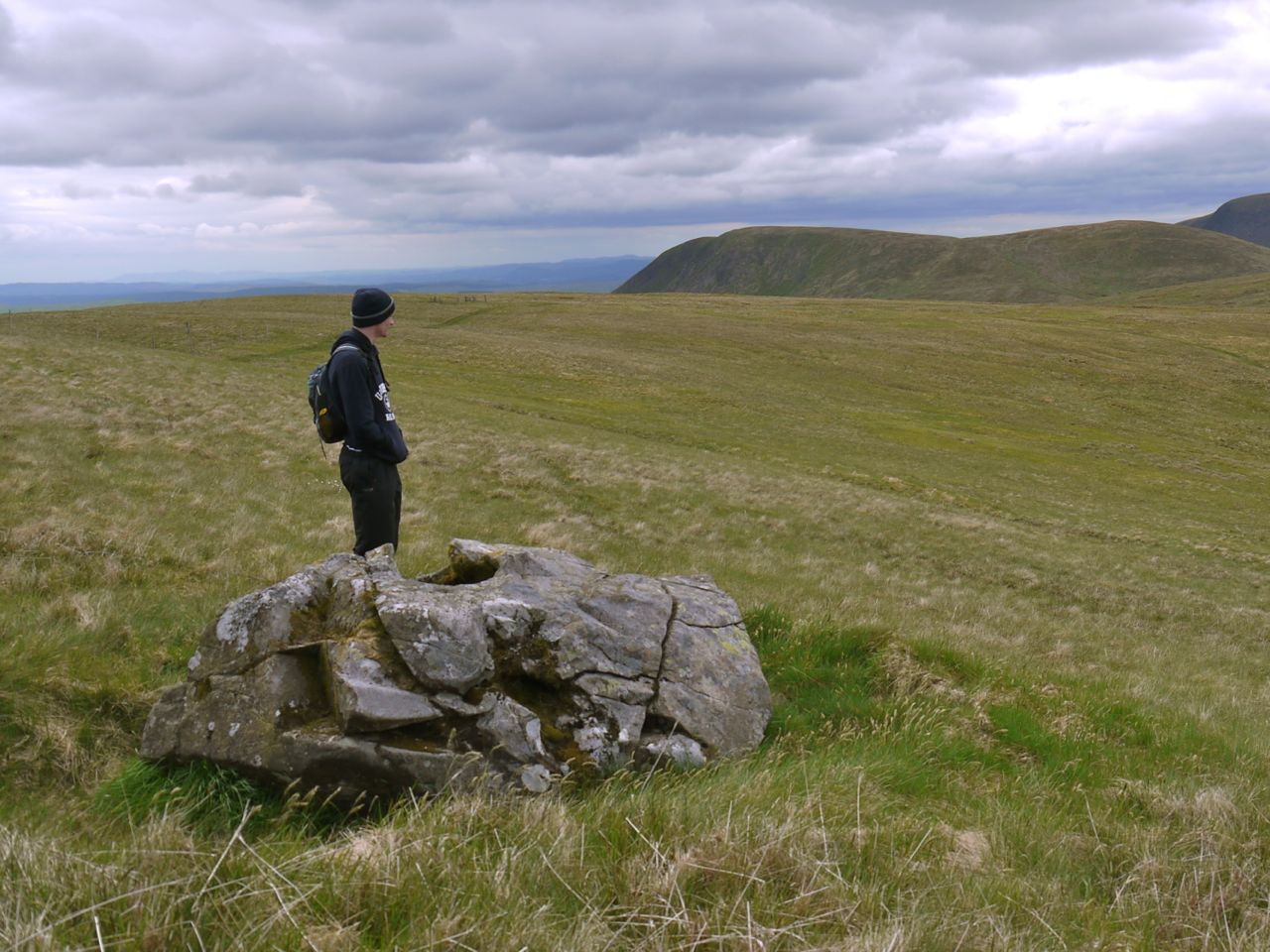
Once on Keoch Rig there were views down three glens, Clennoch, Polifferie, and Holm/Dalquairn. I decided to visit the Deil’s putting stone, an erratic with a bowl shaped hole worn in the top, since it’s marked on the map. Unfortunately it was not particularly exciting.

Deil's Putting Stone

From the stone it’s only half a mile to the top of Windy Standard, but we turned away towards Mid Hill of Glenhead. The col before this is marked as the Hags of Poljargen (pol deargdn, the red stream). There are no peat hags here now but the soil does have a red tinge. Throughout this walk we were on dry terrain but I am sure, judging by the vegetation, it is usually wet.

Climbing Mid Hill we also came close to a fox, perhaps just 15m away and once on the summit we could see the Striding Arch on Benbrack and the Radar station on Lowther.

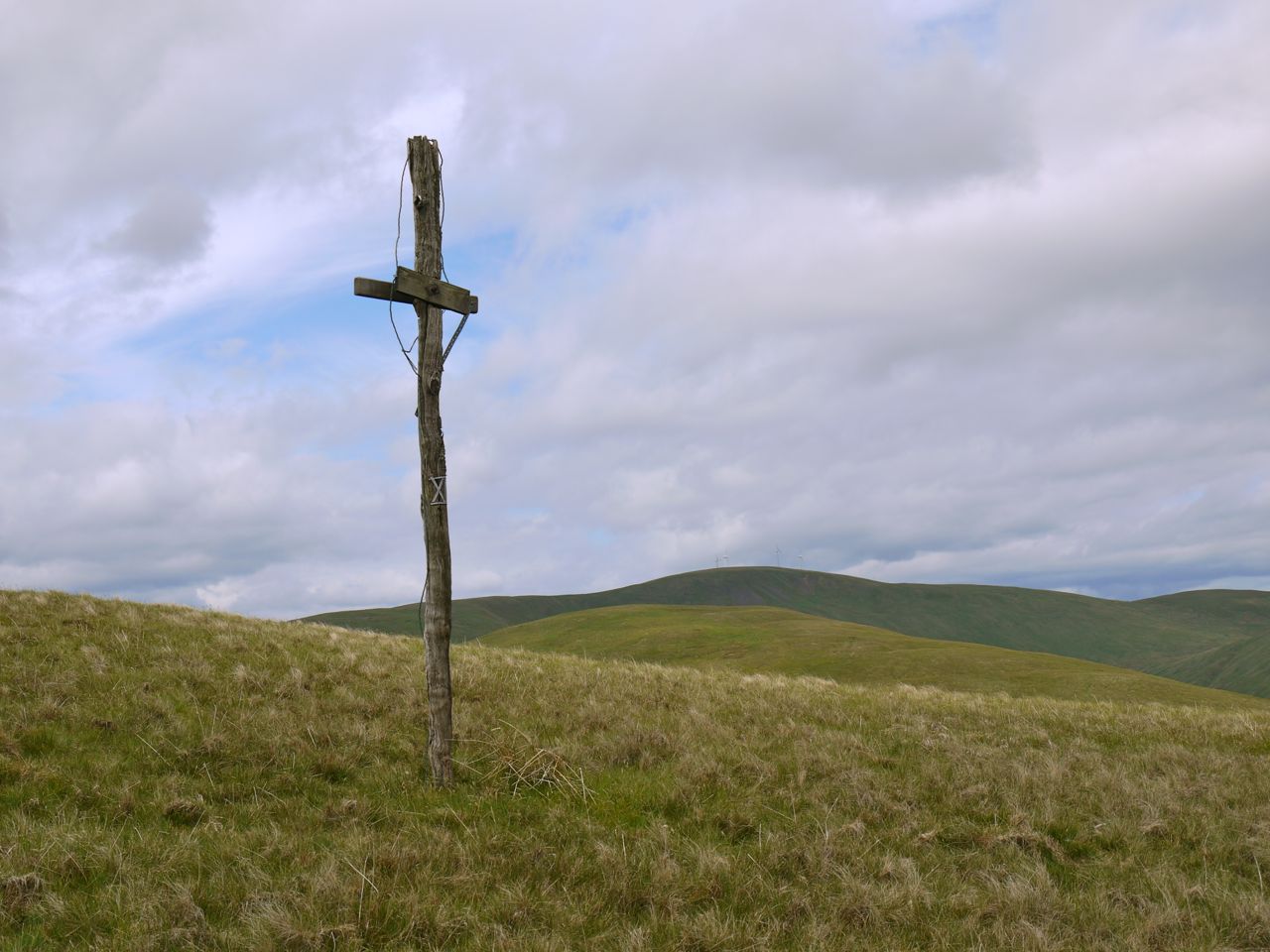
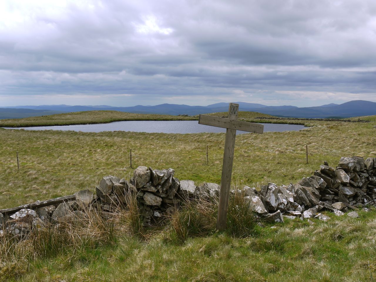
I had wondered as we walked if the crosses I had heard about on Dodd Hill would still be there, and in the col between Dodd and Mid Hill we found a large cross lying on the ground, but as we climbed we saw some others at the top.

Cross and Lochan on Dodd Hill

The crosses are marked with roman numerals and represent stations of the cross. Including the cross lying in the col we found four. I did not see any further down the hill.

Dodd Hill’s other unusual feature is the lochan at its summit.

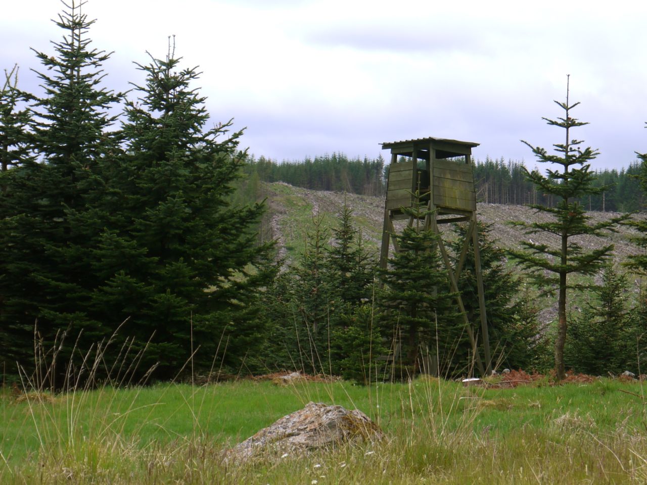
Sentry post

From Dodd Hill we headed down just west of south to join a track. This is another tussocky section that I suspect can be wet at times, but once on the track it was a straightforward walk back to the car and we were able to sneak past the sentry post without any trouble.

Posted in Dumfries & Galloway | Tagged | Comments Off on Moorbrock – The Polifferie Round

Fair Weather Walker

My hill-bagging compulsion has me on edge; just one hill to go to have completed the Corbetts, Grahams, and Donalds of Region 27/D&G. The walk was all planned. I have walked in rain, sleet, fog and snow, but….

Today was just too hot to go walking long distances. Instead I took the dogs out for their walk then popped about taking some pictures. Most are from today, a couple from earlier this month. Probably walked about 2 miles, drove the rest.

[nggallery id=2]


Posted in Dumfries & Galloway | Tagged , | Comments Off on Fair Weather Walker

Cir Mhor and the Castles

8.5 miles 7h 50m ascent 1013m

Sannox-Cir Mhor-Caisteal Abhail-Sail an Im-North Sannox

Day 2 (for us) of the Arran Mountain Festival.

Judging by the sunlight coming through the curtains when I woke up we were in for a scorcher. I made a mental note to take extra water and decided against lugging a flask of hot coffee with me. We started the day with another full breakfast. I say full breakfast since the plate was full, but there was no black pudding. Perhaps they are frowned upon on the Isles? This time we had managed to negotiate an earlier start and had bought a box of chocolates for the cook since she had come in early on a Sunday morning to make our breakfast.

Suitably fed we set off for Brodick to join our walking group for the day. This time we were wise and applied some factor 50 to our exposed parts. The wisdom was in short measure though since I failed to take it along for reapplication later in the day. My elbows and neck were to pay the price.
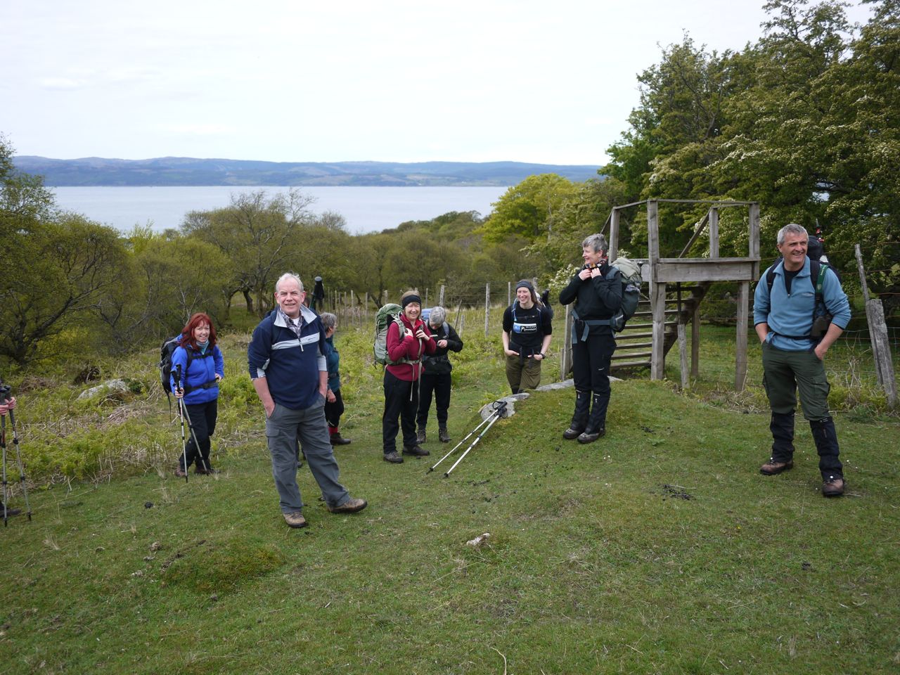
Corrina and Ken were our guides. Helpful, knowledgeable, perhaps a little too speedy for my comfort at times, but it must be hard for them to cope with a sloth like me, forever stepping aside to take pictures.

Sannox Burn

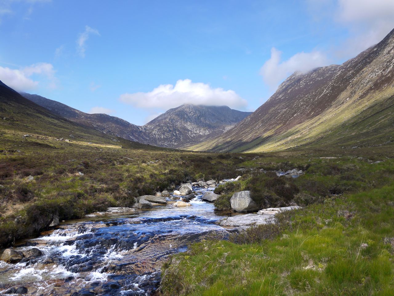
After a brief minibus ride we arrived in Sannox and set off along a good quality path up Glen Sannox. Steep hills stood either side of this glacial valley, the Bastion with the Devil’s Corrie to our left and Fergus’s Seat with the Witch’s Step to the right. Soon enough Cir Mhor came into sight which with its mountainous shape looked imposing, perhaps even intimidating, as we approached it. Sannox Burn runs close by the path, the water running over slabs of granite. Since the water level was low many of these slabs were exposed and had dried into a whitish grey giving the appearance of a bright white road. I now realised what the white strip running in Glen Catacol the previous day had been.

This area had been used in the past to excavate barytes (barium) and the remnants of the works were still visible. Apparently there was once a small railway serving the mines here. Anyway, what with me gawping instead of concentrating, I took a tumble here. It is strange how the mind works at times such as this. I somehow lost equilibrium and in a fraction of a second I was aware that remaining standing was no longer an option, yet I was able to choose where to fall (path or grass). No physical harm done.

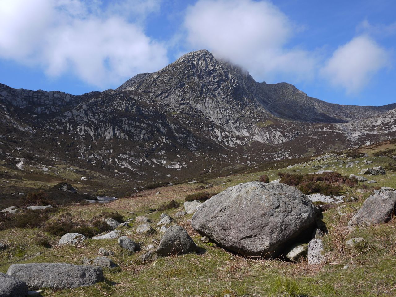
Cir Mhor

We stopped by the burn below the 200m contour for rehydration and snacks before the steeper section to the saddle. From here Cir Mhor looked even more of a challenge. The Castles and Witch’s Step were now clearly visible, but looked decidedly less impressive than Cir Mhor. But this was because they were so far away.

The path then took us to the foot of Cir Mhor and a steady climb up rocky steps and short easy scrambles to the Saddle. We had been told at the beginning that we would be keeping a “reasonable pace”, something I had interpreted as “pretty quick”. During this section I was happy to realise my mistake. We took it at a comfortable pace with enough rests even for me. I think we took about 40 minutes from the burn crossing to the Saddle.

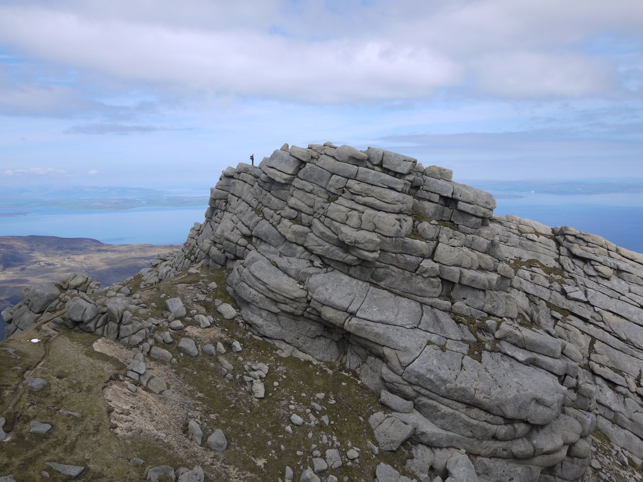
On the saddle we had time for rest, rehydration and tough bananas. From here we had great views back down Glen Sannox and Glen Rosa. There was time to consider Coire na h-Uaimh and its possible pronunciation (weave?) and the remaining climb to Cir Mhor’s summit. The sun was now really putting some effort into shining, so I broke out the sunhat. Luckily it was not the daftest headwear on show (by a long way). Yes I do mean that tartan hat.

on Cir Mhor

The remaining 350m was much of the same, steps and very short scrambles. We passed a spade (or was it a shovel?) stuck by the path, which had apparently been left by the guys who had been up here repairing the eroded paths. I would have taken a photo but I was probably in “OMG-when-are-we-going-to-take-a-rest-stop” mode during which I can only concentrate on walking/climbing.

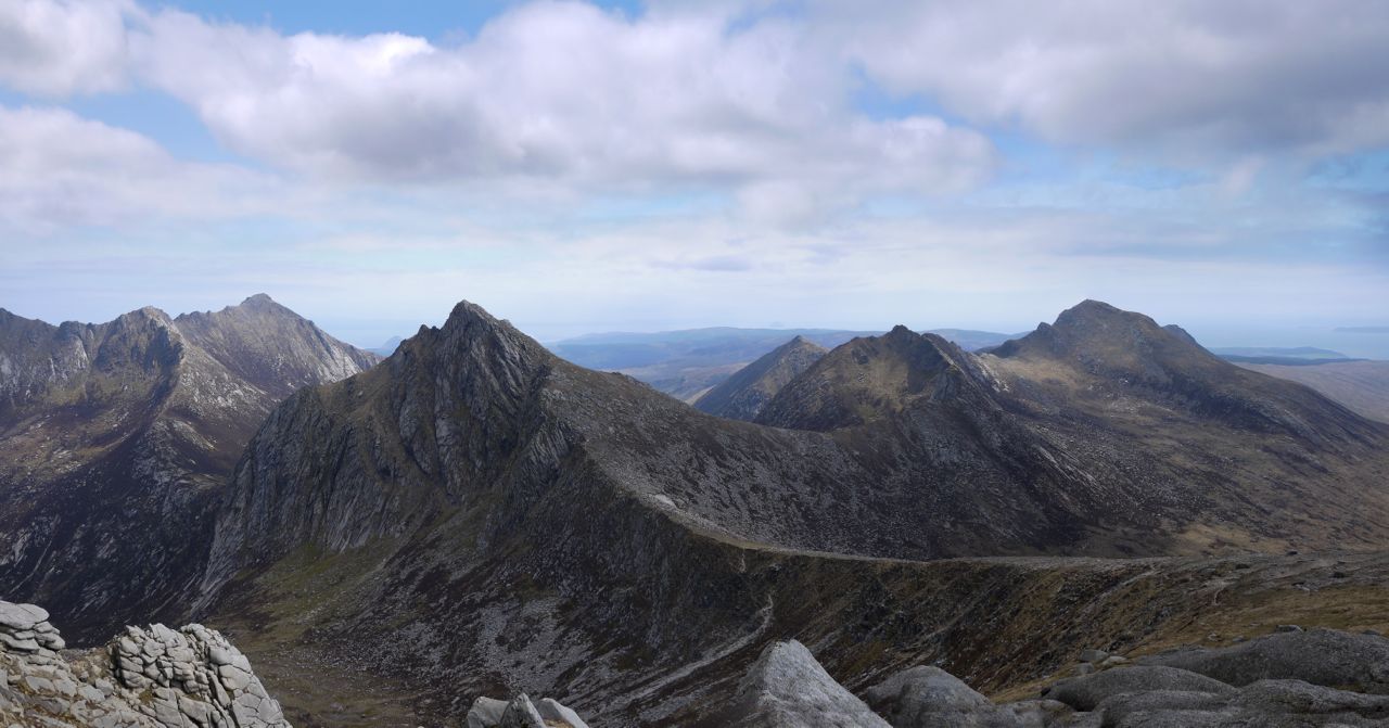
Closer to the summit there were a number of grassy ledges and it was just a brief scramble to the top. It was a little crowded on top so we soon came down to one of the sun trap ledges for lunch and a post-prandial nap, watched over by a raven (the Devil’s spies.  I ate my sandwich gazing over the corrie of the caves (Coire na h-Uaimh) to the forked castle (Caisteal Abhail) and the Witch’s Step. What a vista.

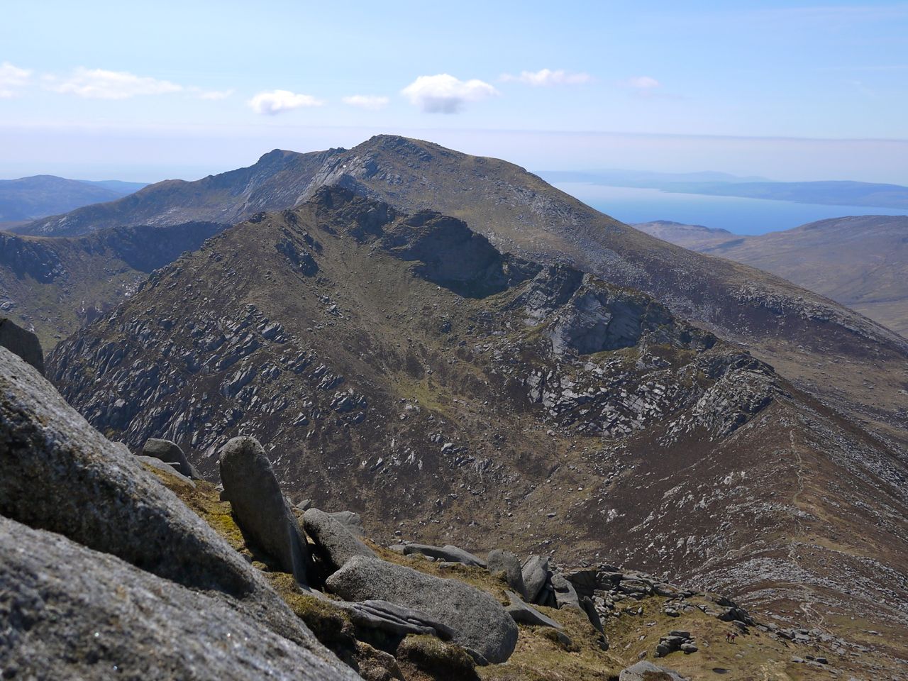
A' Chir

The views here also take in Goatfell, the A’chir ridge leading to Beinn Tarsuinn, and the Beinn Bharrain hills (from the previous day). We were even able to watch (through binoculars) some brave souls making their way along the A’Chir .

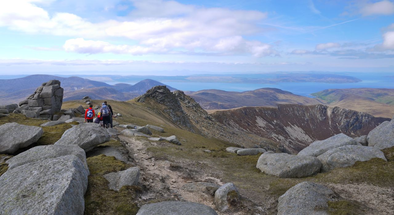
After a good dose of UV, we shouldered our packs and headed down the ridge sweeping above  Coire na h-Uaimh to Caisteal Abhail, our highest point for the day. This was a long slog in the summer heat but the distant granite pillars slowly grew closer and soon enough we were clambering up to the top to be greeted by fantastic views. Up close the castles are far more impressive than they had appeared from Sannox Glen.

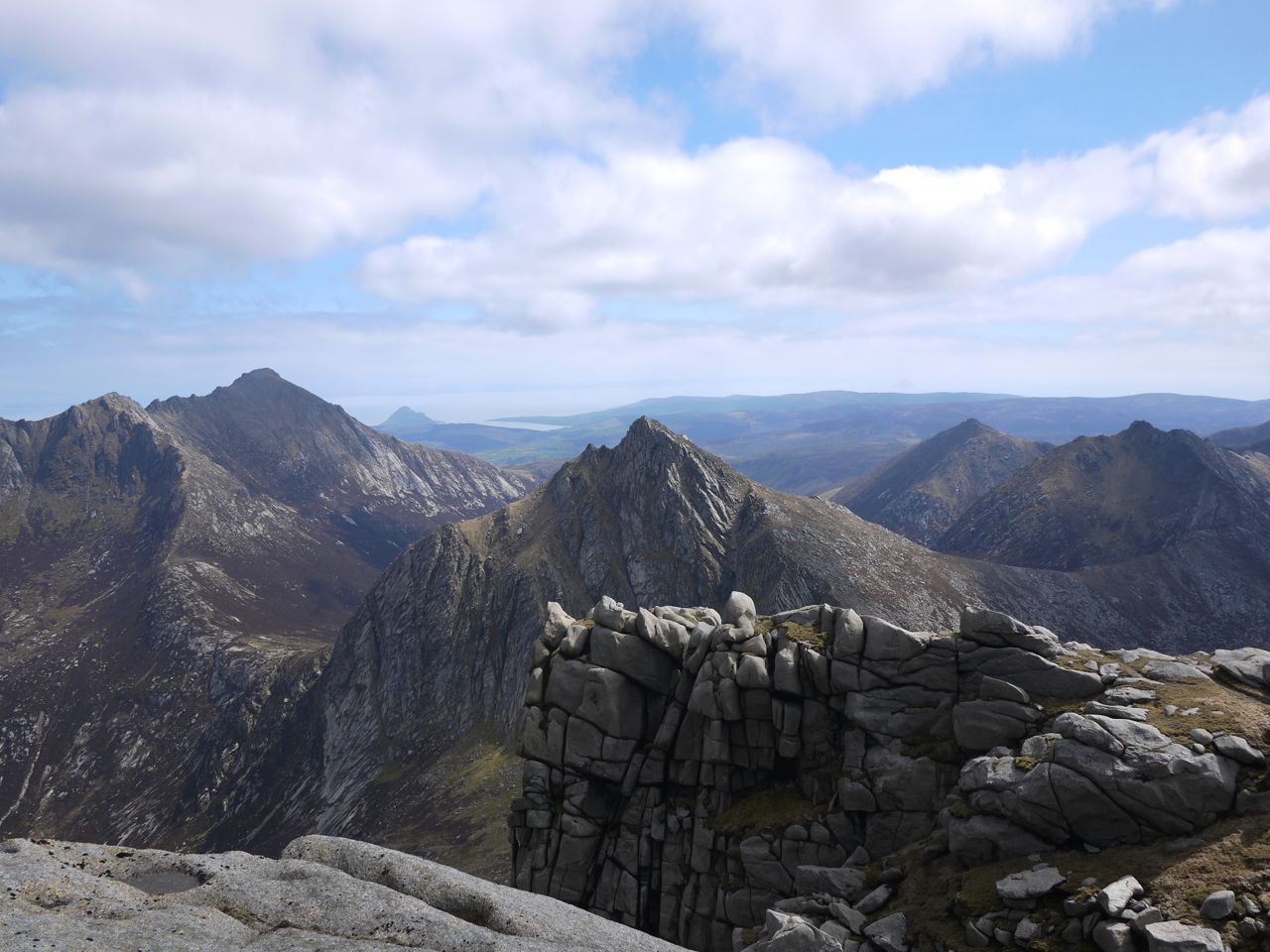
Cir Mhor from the Castles

We had short break on the Castles to rest our legs and exercise our cameras. The views back over Cir Mhor, in particular, were wonderful.

Being ahead of time, there was some question as to whether we might attempt the Witch’s Step, but the prevailing view was against this so the pick up bus was summoned earlier instead. I should admit that I was among the “no” votes since I require a period of working myself up for challenges such as that.

Caisteal Abhail

From the Castles we headed off down the long spur that sweeps around Garbh Choire to Sail an Im (the heel of butter? That can’t be right). This was a pleasant way to end a walk, a gentle gradient, easy footings, and nice views over Lochranza and back to the Castles.

This ridge is a good walk in its own right, though perhaps under-rated because of comparison with its neighbours. The path winds its way around mini versions of the castles, the Creag Dhubh, and eventually changes from gentle rocky ridge, to a steeper grassy slope.

Sail an Im

The steeper gradient placed a little more strain on older knees. I was tempted to break out the walking pole, as others had, but decided I was young enough to do without (I was born in the space age).

We descended into an area of wetland, with several small lochans glistening on the shoulder of a small hill (An Tunna) and made our way across some boggy ground to reach a path at the start of some forestry.

The path had been visible from the ridge, and had looked yellow, prompting me to point it out as the yellow brick road. Unfotunately, George was still a sharp as ever, even this late in the day. Quick as a flash he told me that I might get a brain if I got to the end of the road. Cheeky B….r. Had I mocked his hat? A temptation that St Anthony would have been hard pressed to resist. No, I had held my tongue. Admittedly, that was because I couldn’t think of anything funny to say, but that’s not the point.

North Sannox Burn

The yellow brick road was actually a light grey gravel path, which would once have been guarded by a gate in the deer fence. The tall stile was still there but the gate itself looked to have been destroyed, as had another further along the path. We actually saw a deer below the deer fences.

This path ran alongside, or at least close to, North Sannox Burn which had a couple of small waterfalls. After the day amongst granite strewn hills it was a pleasant change to walk by waterfalls,  through the greenery of woodland, with a cuckoo calling out (or was it a dove cooing?).

This was a great day’s walk in ideal walking weather. The hills were enough of a challenge to leave me with a sense of achievement. The views were great. And all this in good company.

Posted in Far away | Tagged , | Comments Off on Cir Mhor and the Castles

The Barren Hill

7.8 miles. 947m ascent. 6h 55m

Pirnmill-Beinn Bharrain-Mullach Buidhe-Beinn Bhreac-Coire Fhionn Lochan-Mid Thunderguy

This was the first day of a two day outing to Arran, taking in some guided walks in the Arran mountain festival. Day one was to be a journey to the Barren Hill, the Yellow Summit, The Speckled Hill, the Brown Hill and the Fair Loch. The week running up to this had been marred by inclement weather, and even as we sailed from Ardrossan the rain was still falling. Still the fish and chips were nice on the boat.

By the Saturday morning, though, the rain had cleared and the weather forecast suggested it would stay away. Unfortunately breakfast started a little too late to allow a leisurely meal and we hadn’t managed to negotiate an earlier breakfast. So it was a speedy breakfast of bacon, eggs, sausages, tomatoes, mushrooms, potato scone and toast, without time to relax before we had to set off for our rendezvous in Brodick. There we signed up and met our guide for the day, Corrina.

Above Pirnmill

The walk was to begin at Pirnmill, once a centre of bobbin making, I believe, so the first stage was a minibus ride across the island, during which the driver, Charlie, I think, gave us his views on the various conservation and ecology initiatives taking place on the island. I suspect these differed somewhat from those presently held by conservationists, and tended to hark back to a bygone age when jolly schoolchildren would guide the bus driver into reversing onto the beach ( out of a sense of fun, rather than badness); poachers pitted their skills against gamekeepers; twenty families would farm land now tended by just one farmer; deer numbers were kept down, sparing many drivers from collisions; and land wasted by set-aside was in productive use.

The walk itself began at Pirnmill, where our other guide, Andy, joined us. We strapped on our kit and headed up past some houses, onto grassy slopes and then through some  relatively young woodland. Luckily our only episode of straying off course was in the first five minutes, and was rapidly corrected with the help of a local lady who came into her garden to point us the right way.

Falls on Allt Gobhlach

Our route took us along the north bank and then across the Allt Gobhlach (the forked burn) and as we came out of the woodland, the two spurs from Beinn Bharrain, enclosing the Coire Rionn, were there before us. We were to head up the western spur, the eastern one being steeper and sharper. Along here we walked under the watchful eye of a raven and later passed its nest. Allt Gobhlach runs in a steep sided gully with some small waterfalls, but higher up the slope there was a easy crossing that led us onto a short stretch of boggy ground. I did initially rue my decision to forego gaiters but it proved easy enough to pick our way across this without submerging our boots. The terrain remained a little wet even onto the slopes but soon enough we were on firmer ground with scattered rocks. This was to be the terrain for most of the day.

Col between Beinn Bharrain and Mullach Buidhe

It was a bit of a slog up the spur to Beinn Bharrain and as we climbed the sun came out. But comfort improved as clothing was shed, and both the views and visibility improved. Jura’s mountains were clearly visible beyond Kintyre and the rocks of the Corrie Roinn just beside us began to catch the sunlight, taking on the colours I associate with the Dungeon Hills.

From Beinn Bharrain our route was along the ridge joining it to Mullach Buidhe (the yellow summit): a pleasant route over easy ground with gentle gradients and great views over Lochs Tanna and Dubh to the mountainous tops over by Goatfell. Initially the distant hills were topped with cloud but this lifted and as the sunlight changed throughout the day we were able to see them change with the subtly different illumination.

Mullach Buidhe summit

We stopped for lunch on the southern slopes of Mullach Buidhe, sitting on smooth granite boulders and looking down into the Glas Choirein (green corrie?). I enjoyed my lunch, basking in the sunshine, but later in the day I was to realise, somewhat red-faced, that the sunshine was stronger than I had thought. But despite the beautiful views and warm sun, my walking companion was somewhat disgruntled. His banana, chosen by me in the co-op, apparently had the taste and consistency of a turnip. What a drama queen! To be fair the banana was a little firm, but that meant it had less chance of becoming squashed in his rucksack, and in my opinion the consistency was more like that of an unripe mango.

Lochs Tanna and Dubh

After lunch we continued our stroll along the ridge to the summit of Beinn Bhreag (the speckled hill) where we had views over Bute, Kintyre, Jura, and possibly even Ireland. While standing here Corrina spotted a golden eagle and passed her binoculars around so we could all have a better look at the bird.

On Beinn Bhreac

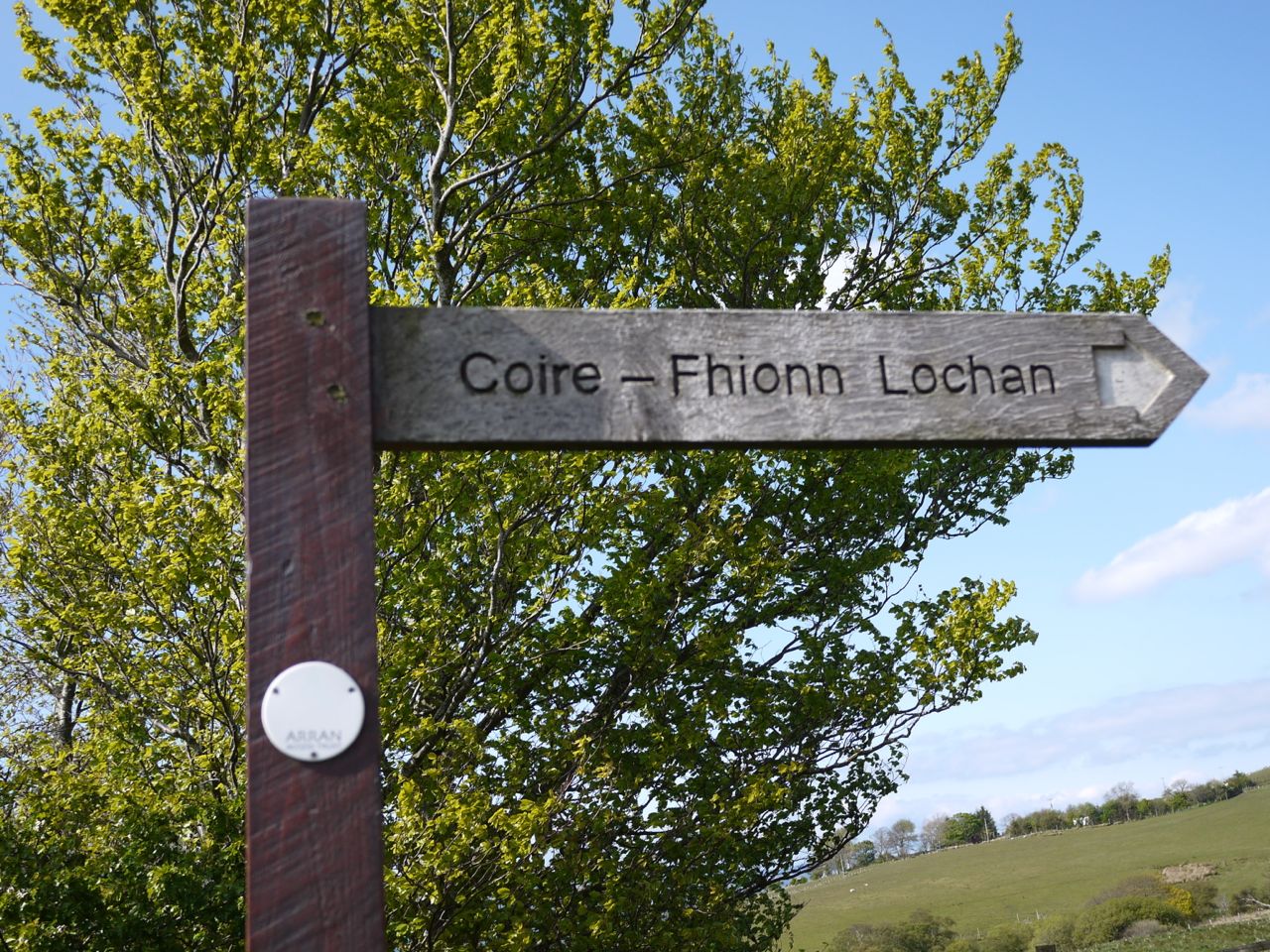
The descent to the col between Meall Donn and Meall Bhig did not feel as steep as the contours suggested, but still gave our knees something to groan about. We soon found ourselves in a rather boggy area overlooking the Coire Fhionn Lochan. This is a pretty stretch of water with white sandy beaches and great place to sit while enjoying the view.

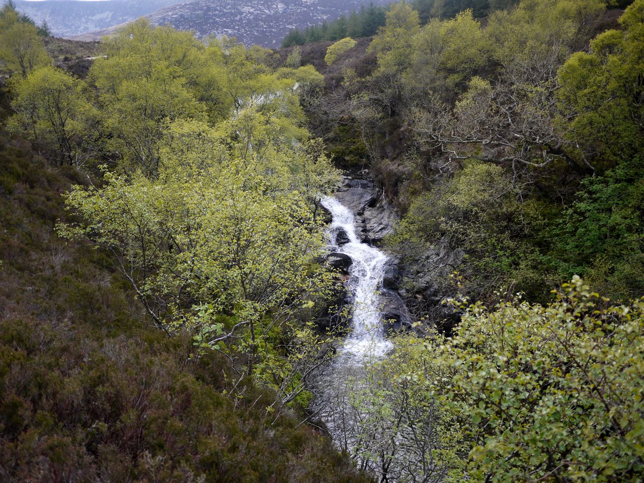
From here it was a short walk back down to the main road at Mid Thundergay. The path follows the burn, Uisge Soluis Mhoir, by its waterfalls, so the walk is accompanied by the sound of running water, a powerful diuretic, judging by its action on several of the group.

Coire Fhionn Lochan

On the way down we heard a cuckoo, spotted a pair of hen harriers and a pair of moths, the latter engaging in a private moment. The walk ended at Mid Thunderguy where with the sun twinkling on Kilbrannan Sound we had a few minutes well earned rest waiting for our ride back to Brodick. Time to contemplate the delights of a cold beer once we got back.

Walking down by Uisge Soluis Mhoir

A very pleasant walk. Great company. Greta views. My first outing in Arran’s Hills and feel worth the journey.

PS Later that evening, after the pre-contemplated cold beer and a rather lavish dinner, we we decided to have a stroll through Corrie. In the churchyard, no more than 50m from us was a stag. Sadly the only camera with me was my phone and it couldn’t cope with the low light.

Posted in Far away | Tagged , , | Comments Off on The Barren Hill