The Waterloo Monument and Criffel via the Pultarson Burn
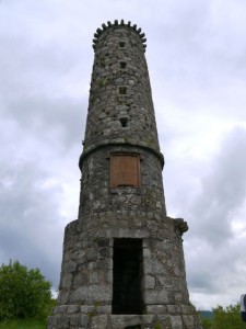
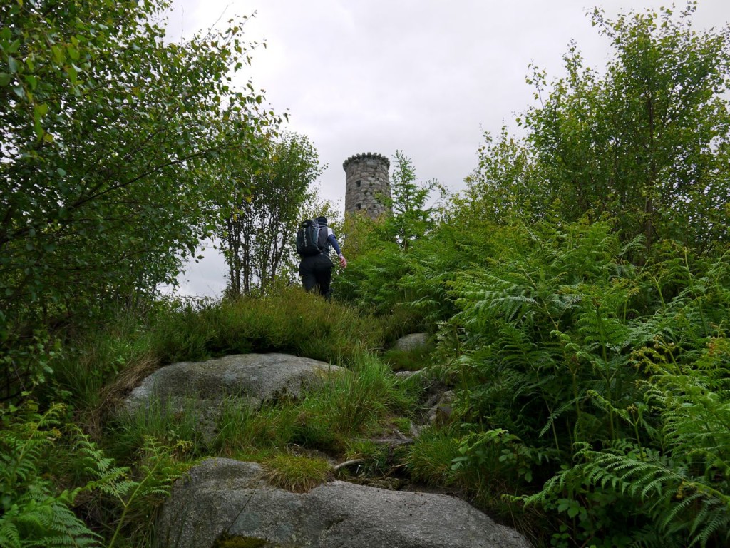
We parked in a small car park at Mid Glen, about half a mile from New Abbey. The Glen Burn runs by the car park and there is a wooden bridge across it signed “Criffel 2.5 miles”. We headed instead up to the Waterloo Monument. This is a short but steep climb. I remember this being a tree lined climb ten years ago but now the trees are gone allowing better views of Shambellie House and Sweetheart Abbey. The monument stands on a hill named as Waterloo Hill on the OS map, but referred to as Carsegowan Hill in “Rambles in Galloway” (from 1876) by Malcolm Harper.
Carsegowan is a strange name for a hill, a carse being low lying land near a river. Gowan is usually regarded as an anglised version of the gaelic for a blacksmith (gobha), but the word for goat (gobhar) is similar. I wonder if Mr Harper might have been mistaken in his name for this hill.
The Waterloo monument is a granite tower about 65 feet high, dating from 1816. There is a spiral stair case inside which can be climbed to the top. It is worth the climb for the views, but beware, there is no safety rail at the top. The inscription reads:
Erected AD 1816
To record the valour
of those British, Belgian
and Prussian soldiers
who under Wellington and Blucher
on the 18th of June 1815
gained the victory of
Waterloo:
by which, French tyranny
was overthrown
and peace restored
to the world
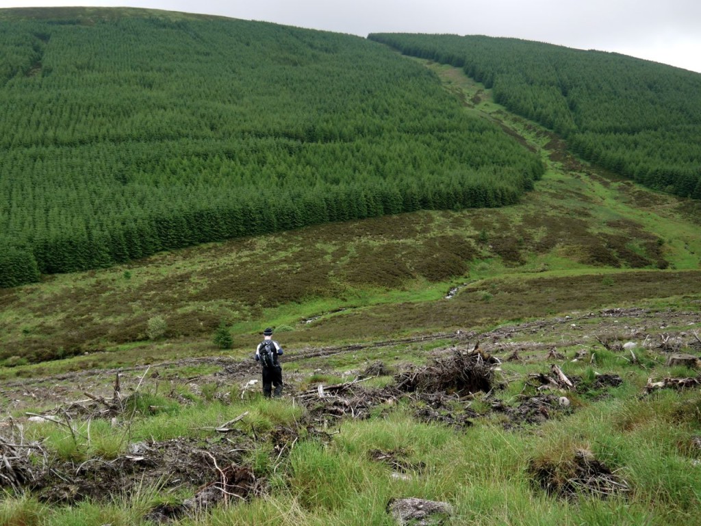
From the monument we headed SW to reach a forestry track. This was unpleasant terrain: the usual felled forest combination of tree stumps, branches, mud, peat, water filled holes (sometimes hidden) and rocks, but five minutes had us on the forestry track. It was certainly a relief to be on terra firm and not have to plan each footstep.
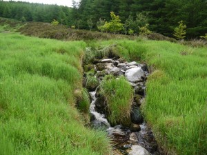
The forestry have been hard at work building new tracks which are not yet on the OS map. We followed one of these as it curved around Kinharvie and Tannock Hills slowly climbing to about 280m. The track runs past a small quarry and several huge mounds of stones. The recent rains must have saturated the higher ground since there were a great many small waterfalls cascading off the hill above us. This section gave us good views of Knockendoch and Criffel’s western slopes and our first glimpse of the forest break, with the Pultarson burn, we would be climbing later. The Pultarson burn takes its name from Poll (pool or water) and Tarsuinn (across or oblique).
I had hoped that the track might have been extended since google earth’s pictures were taken, but I was to be disappointed and the track ended at NX944631. Below us was a 200m traverse of felled forest terrain, but at least we were heading downhill. We easily crossed Glen Burn using some handy rocks but found that the beyond the burn was bog and tussock. A hidden hole here put me on the floor.
I was beginning to worry that the ground beside the Pultarson Burn might be the same all the way up but I was pleasantly surprised. There was little in the way of tussocks and the terrain was mostly grass with small areas of heather. Presumably the ground on Criffel is very friable and rapidly deteriorates into mud if walked on repeatedly. This route by the Pultarson Burn has no discernible path and is therefore free of the mud that the ruins the other paths.
All was not, however, sweetness and light. We paused briefly to don waterproofs and were immediately set upon by a horde of vicious midges. The rain didn’t come to much but the long sleeves and hoods were needed for protection for a while. Conor even had bites on his legs despite wearing long trousers (for once).
We climbed past the tree line and crossed a fence where it had fallen down. This had us on the slopes of Criffel marked on the OS as “Old Fell”. An Avro Anson crashed here (NX953622) in 1944 but now there is just heather and peat hags.
We headed over the heather to the small cairn at a secondary summit about 300m from the real top. Here we were greeted with views of the Solway, and its D&G and Cumbrian coasts. The visibility wasn’t great but we could see as far as Cairnsmore of Fleet which had its top in cloud.
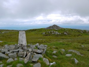
The trek to Criffel’s summit proved a little easier, with faint tracks where others had walked the same way before us. Criffel’s summit has a trig pillar with a surrounding shelter, a large Cairn, to which someone had attached a Saltire and the remains of some stone dykes. The cairn is supposed to date from the Bronze age (though I don’t know how a cairn like this can be dated), but is named Douglas’s Cairn which must be a more modern name. I can see why the summit would have been an excellent place for a lookout.
Criffel, or Mons Crefel, was recorded on a map thought to date from before 1330. The name is probably Norse, Hraka Fjall, Crow Hill.
From the summit we headed for Knockendoch (Cnoc an doch). Cnoc means hillock, but I’m less certain about the Doch. I’ve read it might come from Dubh (Black Hillock). Its covering of heather makes this believable but the sound isn’t right, unless the dubh has evolved to rhyme with the first syllable. I wonder if it might have come from Daugh, an anglicisation of Dabhach, which is an old Scots measure of land. (I claim no expertise in etymology).
The shape of Criffel places Knockendoch below the horizon when you are at the summit. A bearing sent us off along a well trodden, and muddy, path which I presumed was that heading for Ardwall so we then struck off across the heather to gain the ridge between the two hills. I’ve done this before and can’t help but think there is a path somewhere. As it was we met a path as we descended to the col. This was a definite path all the way to Knockendoch but looking back to Criffel it just seemed to disappear into the heather. Perhaps it has become overgrown.
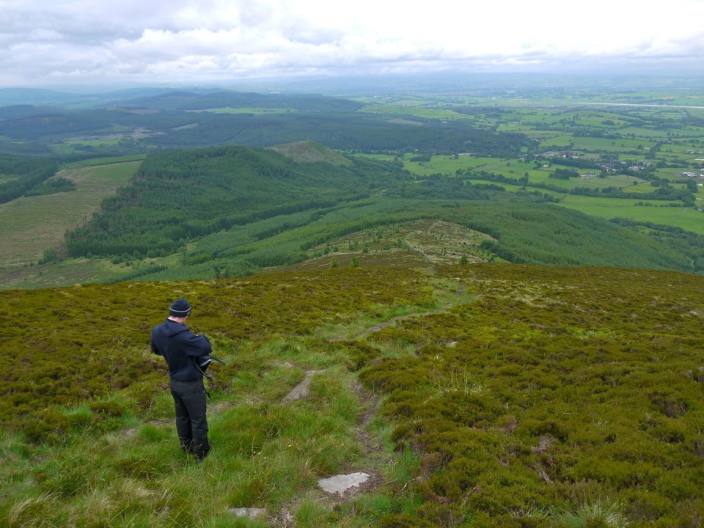
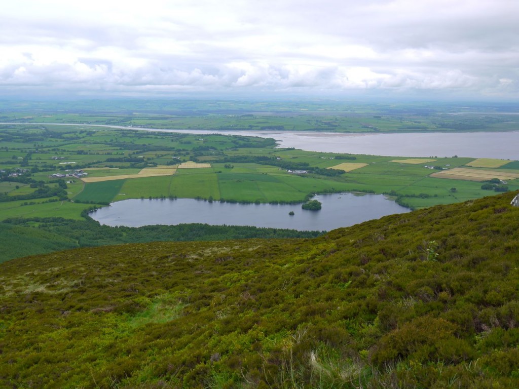
Knockendoch has a small cairn and more good views. From here we could look across to the Waterloo Monument where we had started and down the wall that would be our route back to the car. Loch Kindar with its small island, which contains the ruins of a church, and a smaller Crannog, lies below Knockendoch. This area, which is now called New Abbey, was once called Lochkinder and may take its name from the british cyn-dur (chief water).
This descent from Knockendoch requires care since it is muddy and sometimes steep. Stepping down into slippery mud is disconcerting but I am proud to say that we didn’t end up flat on our backs in the mud. Though there were a few near things.
If the mud gets to you, there is an escape by following a wall from 265m down to the forest track. But we continued down the muddy path. At 110m a small track leaves the muddy path and weaves, mudless, through the trees to join a forest track for a while before entering the trees again. This gradually changes from a forest path to a more manicured affair with planted rockeries etc by its side.
Once back at the car we were able to rinse our boots free of mud in the Glen Burn.

