
8.8 miles 3h 50m ascent 245m
 Auchencairn Forest
Last week I went to Auchencairn Forest to look for some features marked on the OS map. This week I was back in search of two more cairns in the forest at Gawinmoor and to look for Souter’s Grave.
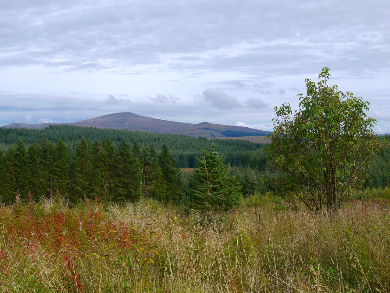
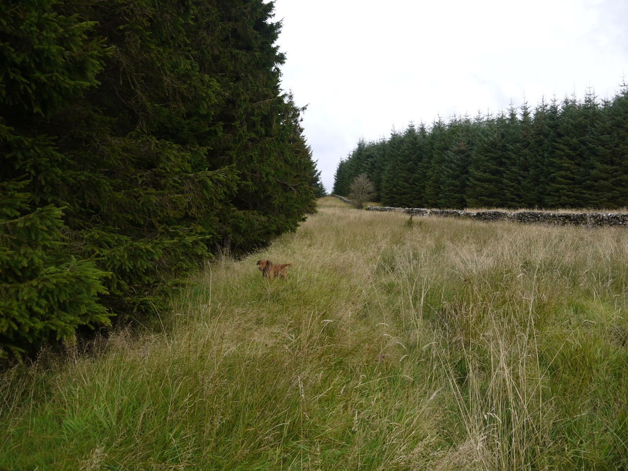
Auchencairn forest, easy walking here
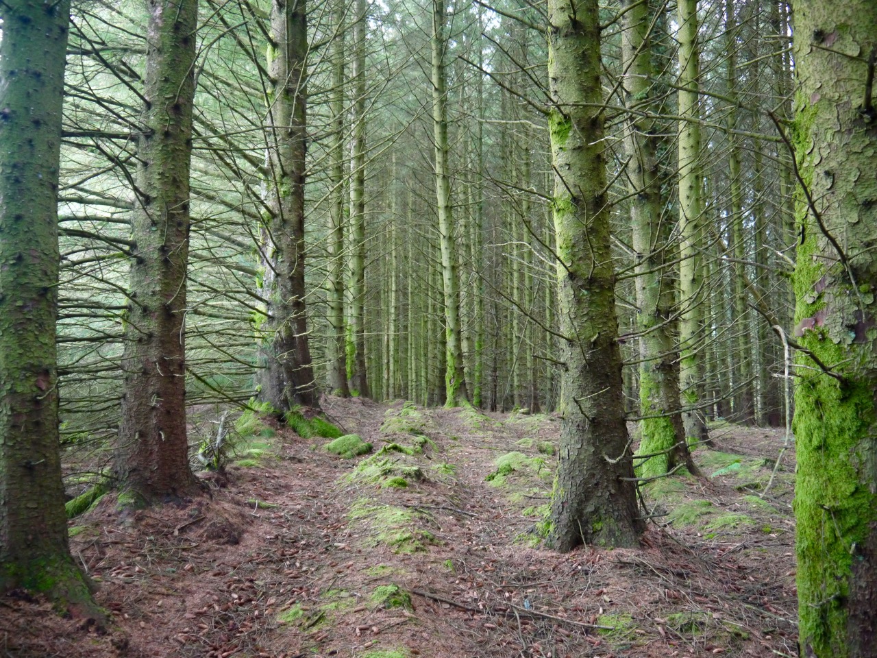
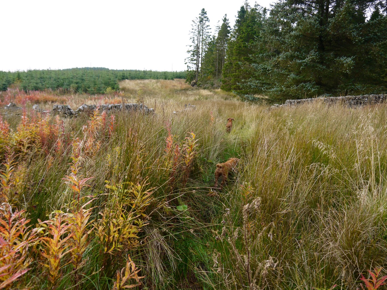
From Loch Ettrick I walked by Great Hill and along to the small area of moorland amongst the trees of Gawinmoor. The OS map shows a line of three cairns which on older maps lie beside a drove road. I had reached the first cairn last week by crossing the moorland and its tussocks but this time I chose the easier walking within the forest. There were a few fallen trees and some boggy areas but these were easily by-passed.
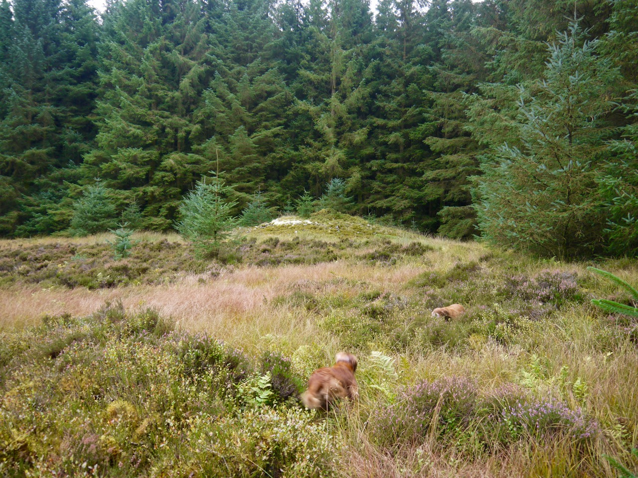
Gawin Moor cairn
Once on the first cairn I looked along the bearing that showed where the old drove road had run but there is nothing now to suggest it ever existed, either on the moor or within the forest.
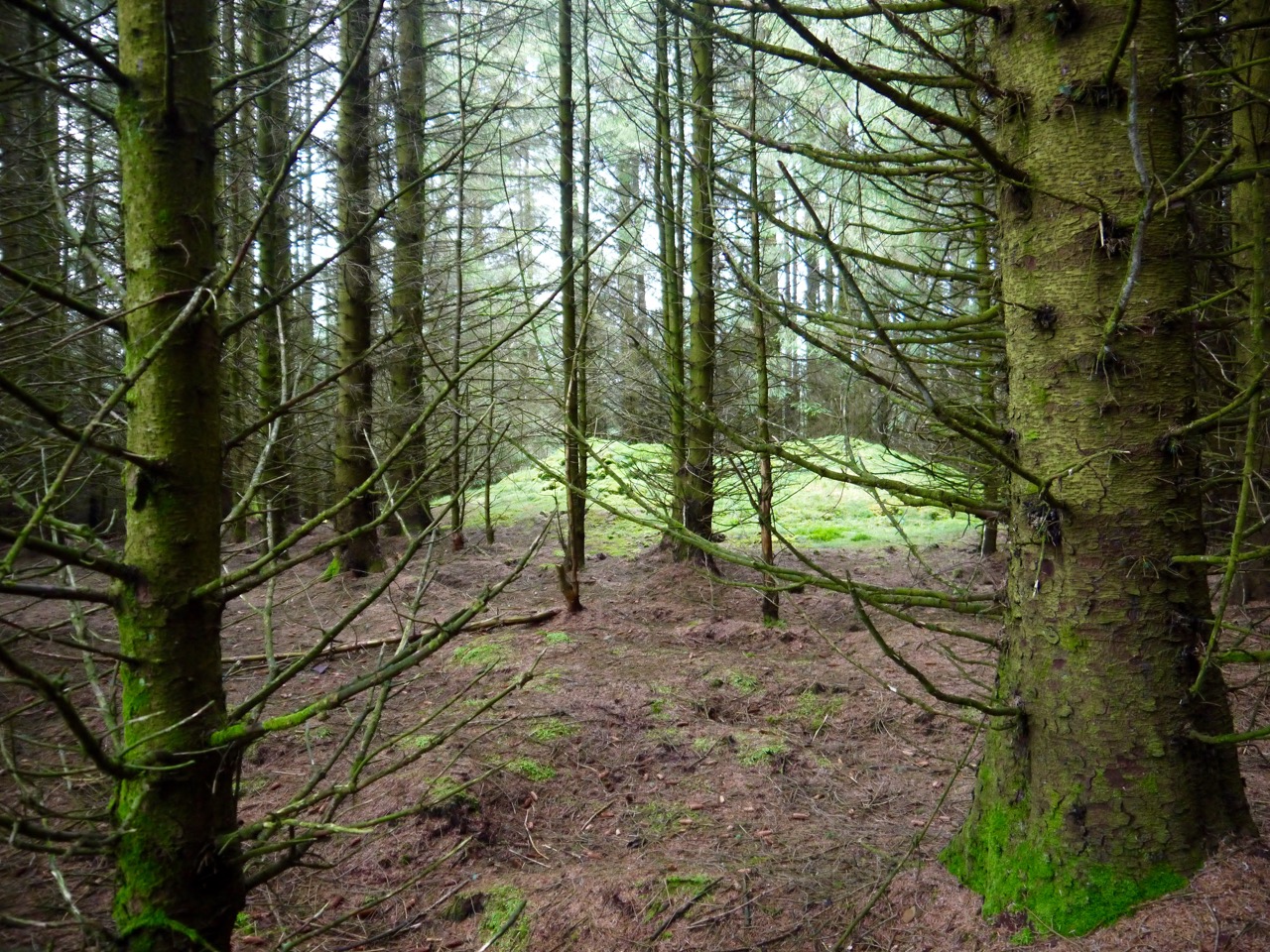
Just looking into the forest hadn’t revealed the other cairns last week so this time I walked on a compass bearing and counted my paces. I had thought the other two cairns had been cleared away or destroyed when the forestry was planted, but later at home I had looked at Google Earth and noticed two holes in the otherwise orderly trees so I wondered if the cairns might still be there.
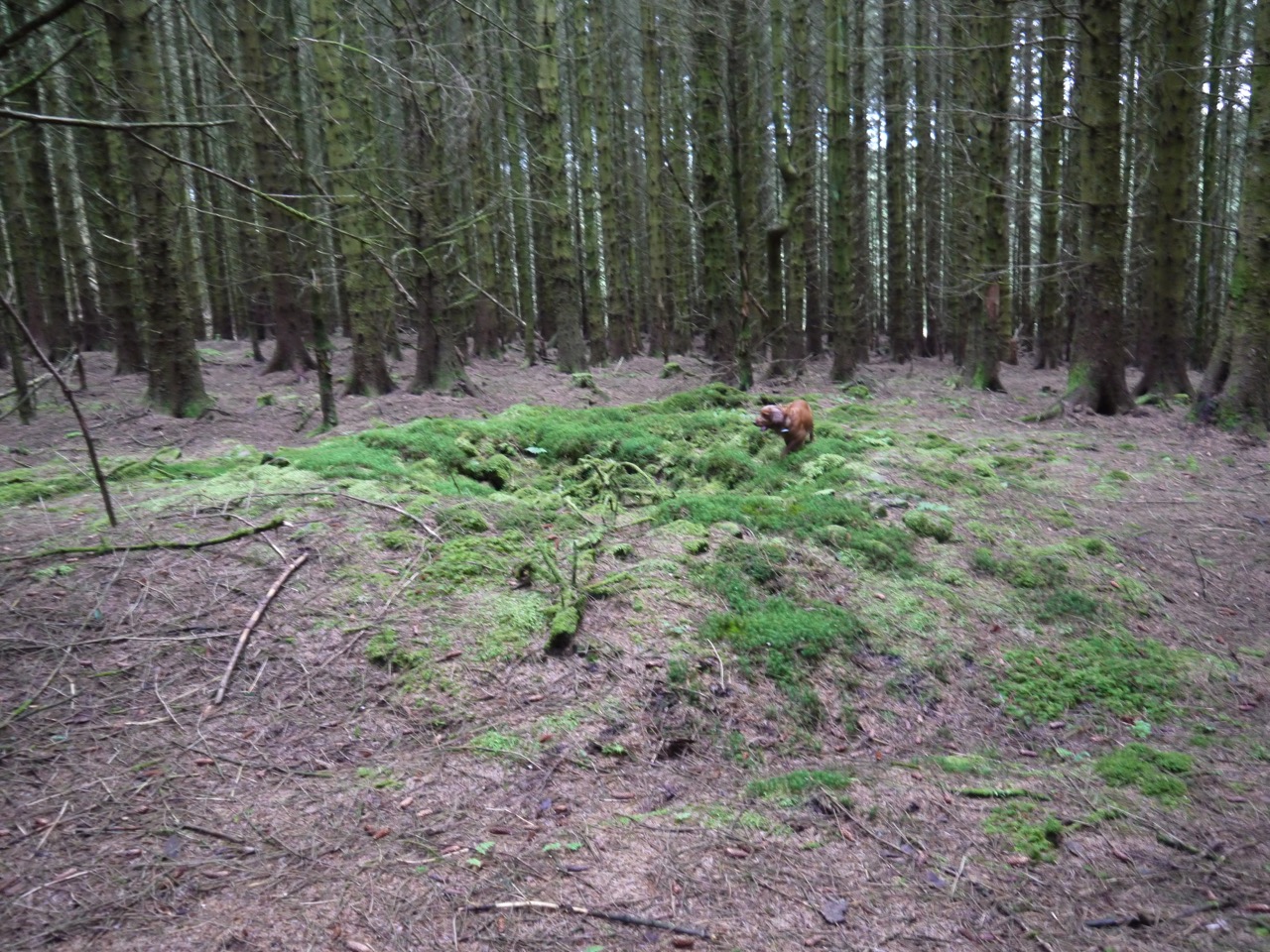
Remains of the second cairn in the forest
And indeed they are. The second cairn is now a ring of moss covered stones, contrasting with the brown pine needles carpeting the rest of the forest floor. The canopy was broken here, as the satellite photos had shown, accounting for the green plants. The third cairn is larger, perhaps the largest of the three, at least 10 double paces across and easily taller than a man. It too was covered in bright green moss and plants and the central portion was hollowed.
Remains of the third cairn
These three cairns are likely to be the last survivors of a much larger cairnfield (21 cairns were reported in 1912) that presumably gave Auchencairn, the field of cairns, its name. The purpose of such collections of cairns are uncertain but they are thought to have a funerary purpose.
The remains of a circular cairn, 44 ft in diameter, lie near the edge of the boggy land some 200 yds S of cairn NX99SW 14. It was excavated in 1894 when three cists were found; one measuring 3 ft 6 ins x 1 ft 9 ins, contained burnt earth and ashes. The second, of which no dimensions are recorded, contained similar remains. The third, which is said to have measured 2 ft x 1 ft 6 ins, contained an oblong flint implement (now in the National Museum of Antiquities of Scotland NMAS) and an N3 type beaker (also in the NMAS: Accession no EG 51). (Information from ‘Dumfries Standard’, 25 July 1894)
I had hoped to walk out of the forest along a forest break but it proved hard going so I stayed in the trees eventually reaching the forestry track beside one of the look-out posts. I then walked to the track that encircles White Hill. Bruce’s Well is marked on the OS Map near here but I couldn’t see anything that looked like a well or spring.
My plan was to leave the track on the western side of the hill and head down to the dyke between White Hill and Auchengeith Hill. I could then follow that down to Souter’s Grave. Unfortunately Mr Forestry had been busy since the satellite images on Google Earth had been taken and what should have been clear ground was now densely planted 3m conifers. Plan B was a longer walk, via Mid Cairn and along the disused track leading towards the Dalswinton wind turbines.
This was the main off piste section. A short section across felled forest (tree stumps, muddy pools, and tangled branches), then over a wall, with poor old Sweep needing some help. We swapped felled forest for dense bracken which was just as difficult so I crossed a small burn to walk in grass and newly planted saplings. But eventually I needed to cross back and face the bracken again with the dogs only visible by the shaking of the ferns.
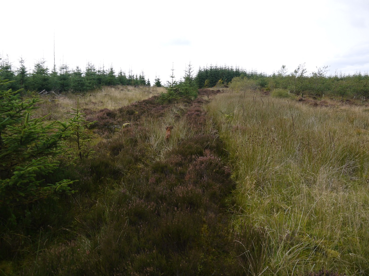
Forest break leading to Souter’s Grave
Having fought through the bracken, the wall then ran in a bracken free forest break. The ground here would have been too wet for bracken. The walking was much easier here once I accepted that I could not keep my feet dry. The dogs forged on ahead giving me the occasional warning “kerplonk” sound of a dog entering deeper water. I actually came off reasonably well. Admittedly I had wet feet but only once did a leg plunge into deep muddy water.
Souter’s Grave is marked close to a junction of walls and the ground here was very waterlogged making detailed searching too difficult. As for Souter’s Grave, there was nothing I could see that I could say was definitely a grave. There was a hollow surrounded by saplings that was a possibility, but no gravestone.
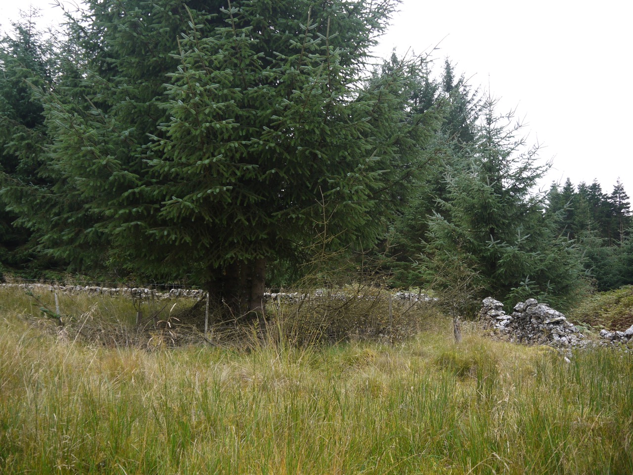
Area of Souter’s Grave
Rather than retrace my steps I decided to press on alongside the dyke. The land opened a little, moorland replacing forest. The heather, tussock and bog was hard going so I was pleased to spot some fireweed in the distance. I felt like a real country type recognising that the willowherb would be growing beside a track.
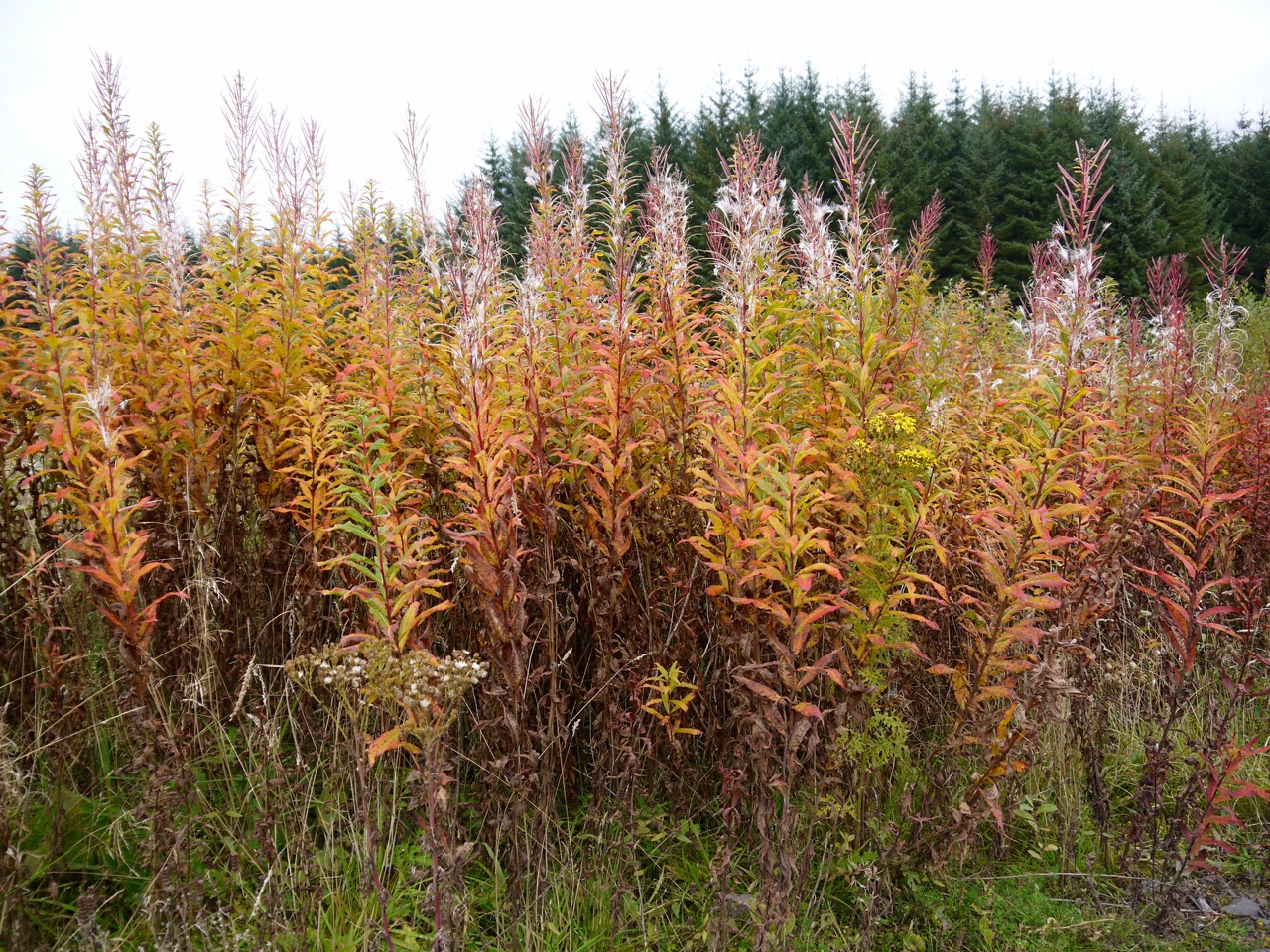
Autumnal colours of Rosebay Willowherb
Once on the forestry track I gave the dogs a couple of biscuits each and had a drink of water for myself. That was the difficult bit over and now all I had to do was walk the three miles back to the car, all on forestry tracks.
So I just ambled along enjoying the surroundings and soon came to Gawinmoor Road. Looking along the road I could see the aerial atop Great Hill ahead of me and knew that the car was the far side of that. I was looking out for a junction, with a track heading off to the right, but saw no sign of it. No problem. On I walked, but soon noticed that Great Hill’s aerial wasn’t ahead anymore. But I couldn’t be on the wrong track, could I? Could I have accidentally taken the left fork at the junction? No. If I had done then there should be the Braidlane Burn beside me, and there was no burn there. Hang on, what’s that down there? A pool? No, it’s flowing water, a burn. Oh dear. And that wall on my left, shouldn’t that be on my right?
I got out the compass and confirmed the bearing of the track was wrong. Well it wasn’t the end of the world, the weather was fine and there was plenty of daytime left. I turned around and walked back to the last road junction. From there it should have been about 250m to where the road forked on the map.
I paced the distance and stood where the junction should have been. I saw no sign of the track marked as Gawinmoor Road. Surely it wasn’t that forest break? The grass did seem to be flattened a little, but it didn’t look like a road.
Gawinmoor “Road”
Gawinmoor Road it was, albeit long disused and now overgrown. After about 250m there was a definite track and it gradually became better defined as it drew closer to what once would have been the cairn field. I had another chance to look towards the first of the large cairns, and again there was no sign of the old drove road.
More of Gawinmoor Road
