
6.4 miles 3h 50m ascent 357m
 Cairn Edward Hill and Bennan Hill viewpoints
Previous to the introduction of roads or railways into the Stewartry, these moors formed part of the wild and unfrequented tracks of Galloway, and were the haunts of the Rory Gills, Billy Marshalls, Wandering Willies, rustic minstrels, and minor Robin Hoods, with which Galloway was infested.
Soon after leaving Bennan the (railway) line passes through a heavy cutting of rock, on emerging from which we see to our right a range of hills whose summits seem to reach the clouds, with deep and sullen looking glens intervening. These are Shawhills, Orchars*, Black Craig o’ Dee, and Cairn Edward, famous for its rocking-stones. (from Rambles in Galloway, M Harper, 1876.)
*I think the hill Harper is referring to here as “Orchars” is Fell of Fleet. It is a major hill that would not be missed and one part of it is now named Back Hill of Orchars.
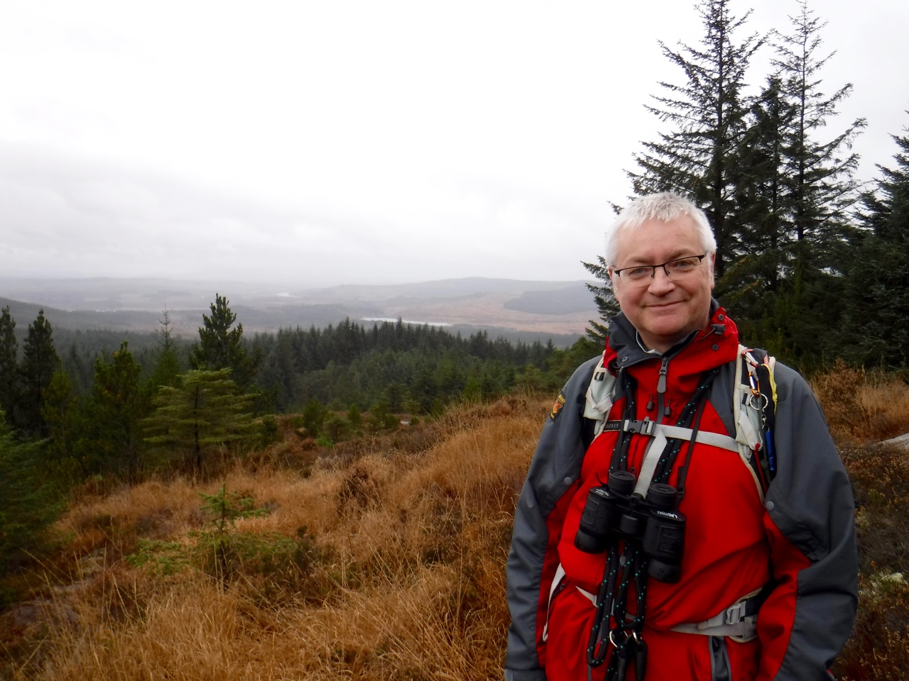
I don’t know what drew me to this particular hill in the wild and unfrequented lands of Galloway. Perhaps it was the promise of a cairn? Or just the temptation of the wild so close to home?
 Well the area isn’t as wild as it was in Harper’s day. The moors are now forests and forestry vehicles need access tracks. This allowed us to walk easily to the foot of Cairn Edward Hill, though we stepped into the wilds after that. all in all we spent 1-2 hours in the wild. We might have spent longer but the weather wasn’t conducive to lunch at the summit.
We started close to the lower Bennan viewpoint, from which incidentally very little can be seen other than trees, and walked up a footpath in the forest past a couple of benches with views across Loch Ken. The footpath took us to a forest track and from there we headed for the upper Bennan viewpoint.
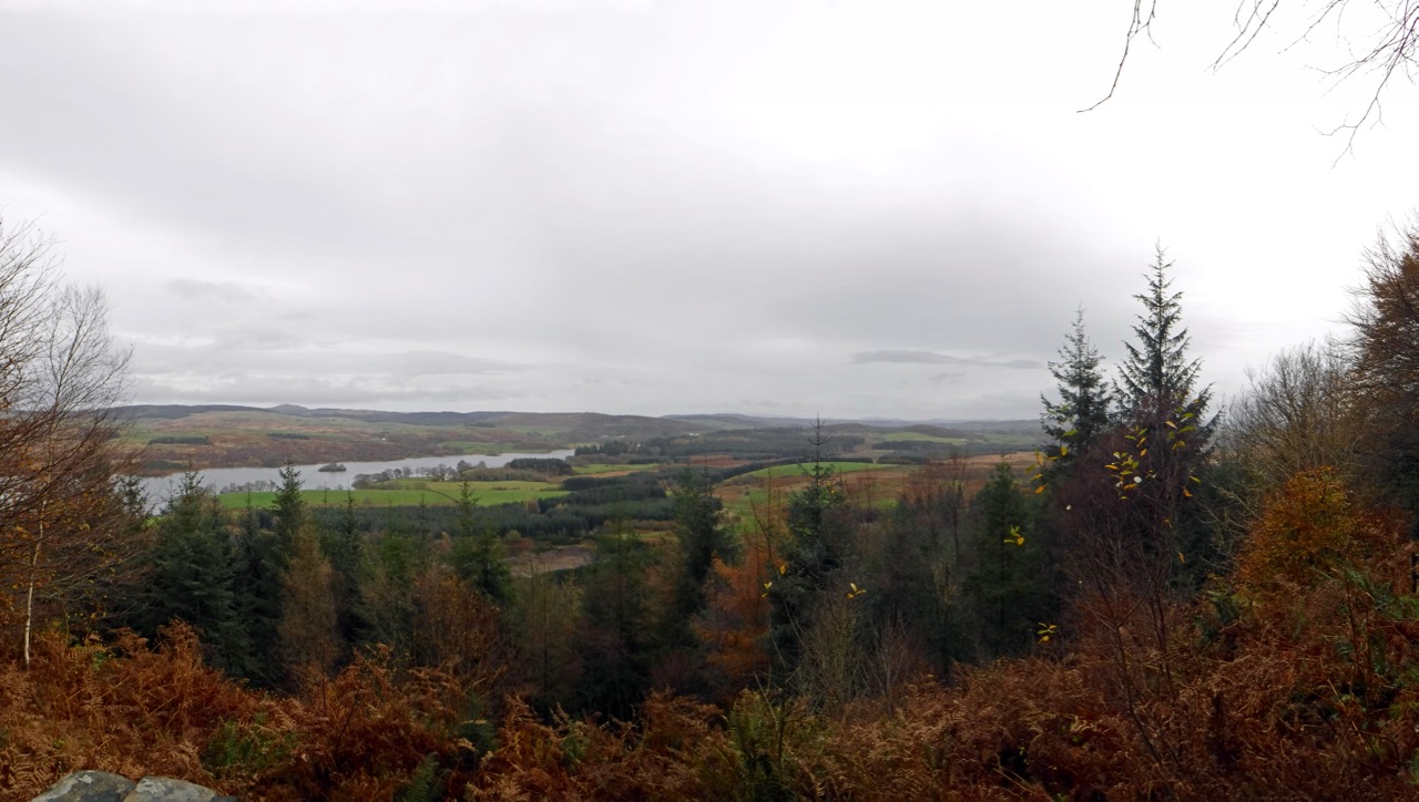
Loch Ken from the footpath
This viewpoint has a couple of information boards, one showing a panoramic view with the names of hills etc. I was able to see more of Mochrum Fell from here than I had seen when walking on it, in mist, two weeks earlier. The panorama could however have been better. We could definitely see Criffel, which was not shown on the picture, whereas Screen and Bengairn were shown but were not visible from the viewpoint. It looks as though the panorama is based on a photograph taken from a little further south.
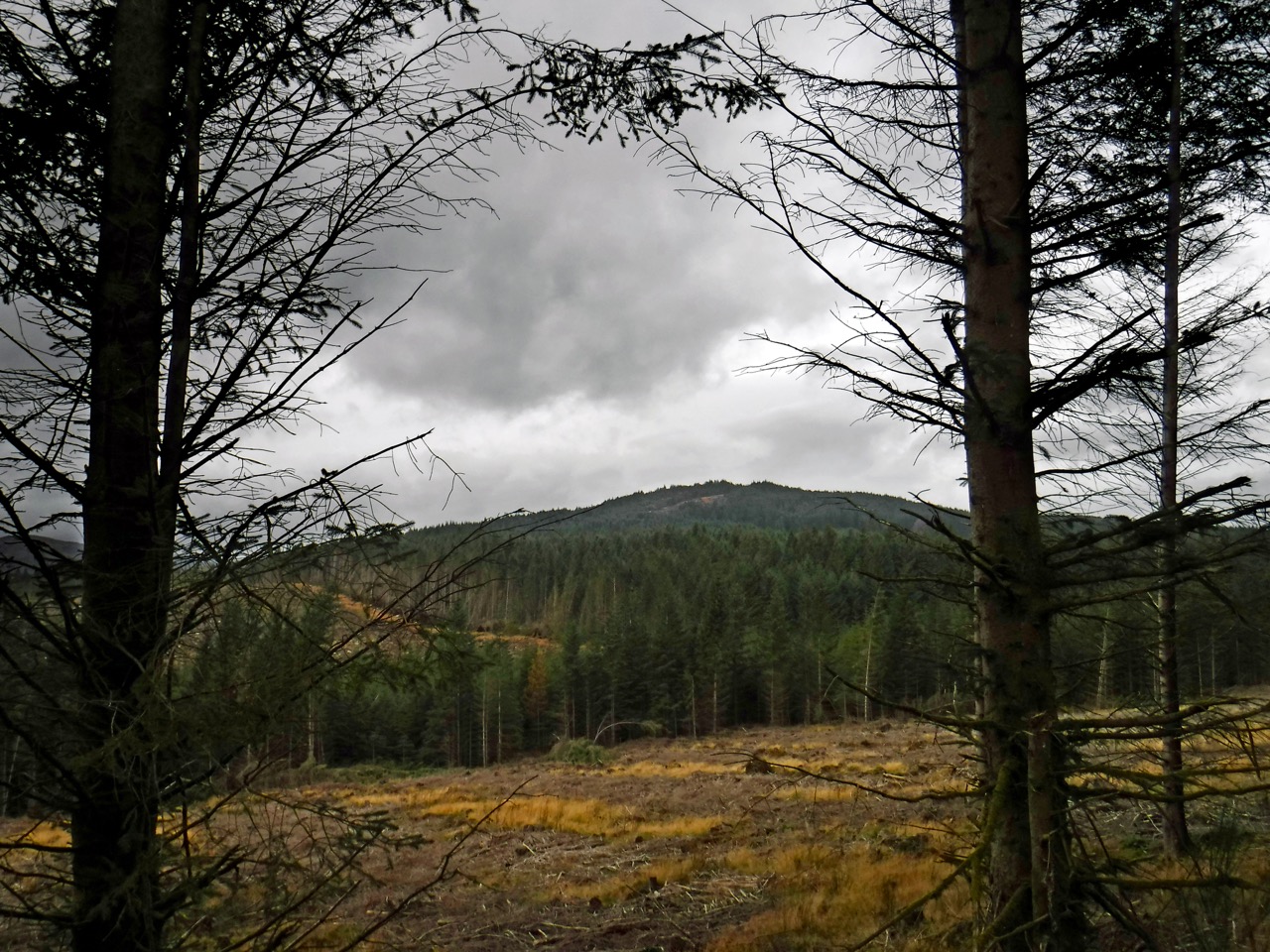
Cairn Edward Hill seen from the track near Bennan
The plan had been to return from the viewpoint and then loop south of Bennan before turning north for the Lowran Glen (which must once have been a glen of Leamhraidhean,
Elm, trees). But a faint track led on beyond the viewpoint and I wondered if it might join up with the track 300m away. The temptation of exploration trumped the existing plan.
Unfortunately the faint track became ever fainter and drifted gradually downhill. Since the track we were hoping to meet was at about the same elevation as the viewpoint, this didn’t bode well. We turned back after about 5 minutes and climbed back up the the viewpoint.
Terrain by the track
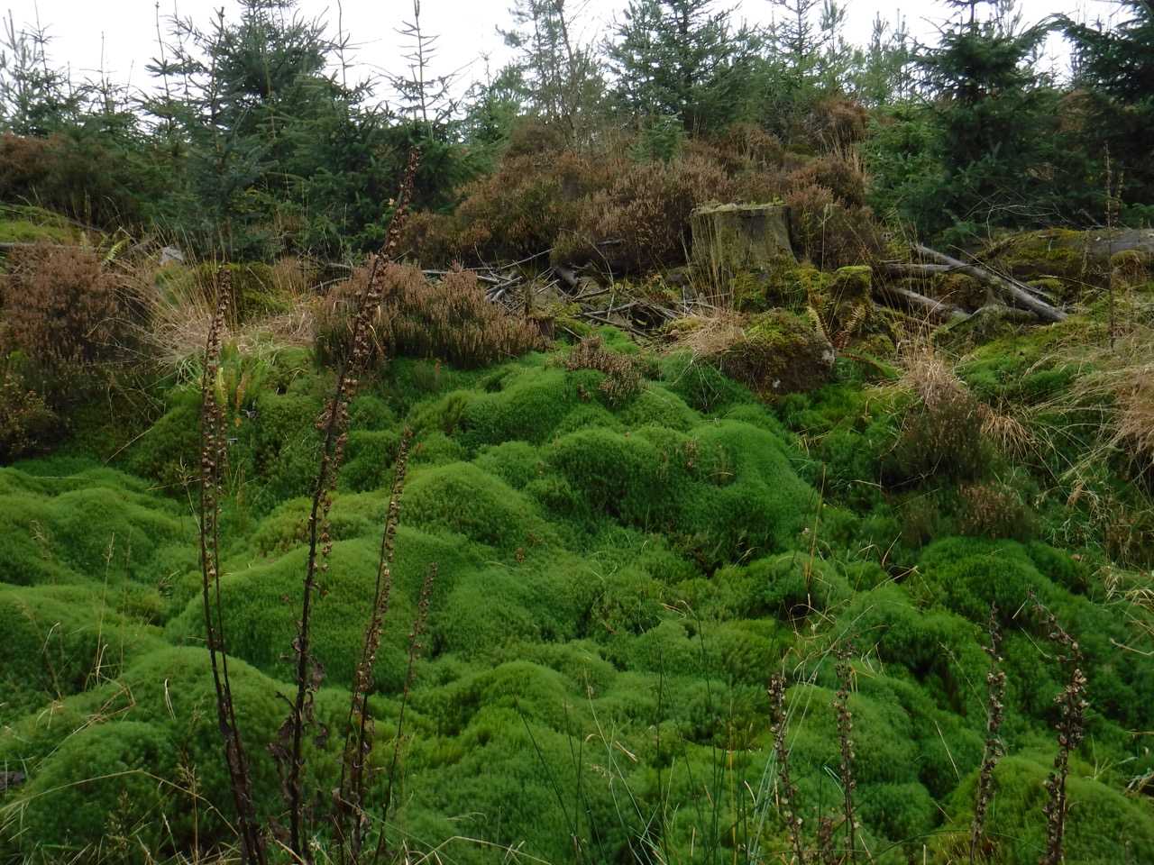
Back on our planned route we walked along the western side of Bennan, up the Lowran Glen and along the track heading towards Cairn Edward Hill. This track is built up on about a metre of rocks suggesting that the ground is very boggy. There were pools of green topped water amongst the mature trees to our left and to our right a combination of moorland and younger trees. The sound of splashing when the dogs went exploring told us that there were pools hidden by the grasses there as well.
The plan was to follow a forest break up from where the path ended. But the forest break obvious on aerial photos was not so easily seen from the ground and when we did find it, it was guarded by fallen trees, boggy tussocks and slippery moss. Once over the initial natural defences we had mostly tussocks, hidden holes and bog to contend with.
Terrain
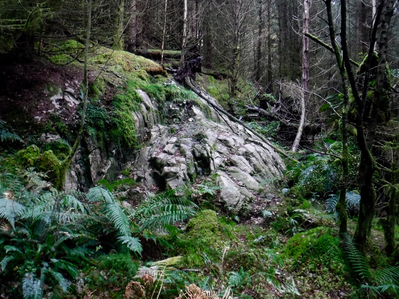
Climbing the forest break we also had to contend with three rock outcrops (baby cliffs) which were beyond climbing for the dogs, and to be honest for me too. The first we managed to zig-zag a way up but the second outcropping was much larger and forced us into the forest itself to find a way around it.
Once in the trees the trees and terrain caused us to gradually drift away from the forest break and eventually we met a much more imposing outcropping. I took photos of this to show how imposing it looked but as is often the case when trying to show how steep something is, the photos don’t look impressive at all.
But it was clearly not something we could just walk straight up. We did though manage to find a way avoiding the larger drops with only a couple of sections requiring hands. The friable muddy ground didn’t help in using footholds.
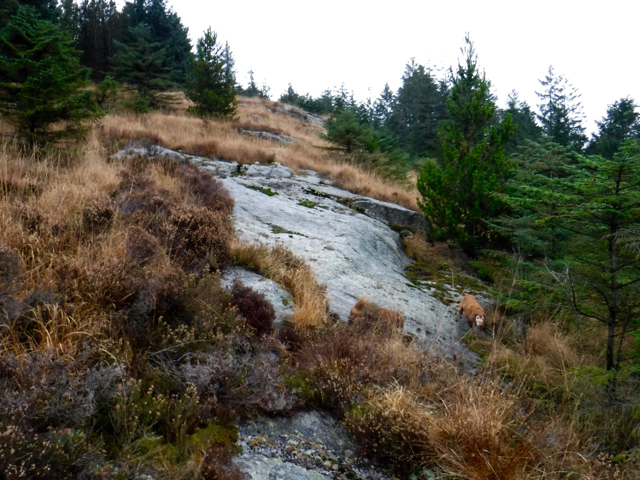
Granite pavements
From there we were on the hill proper which has granite “pavements” offering firm footing, albeit with slippery moss and at angles other than flat, competing with deep tussocks on a base of waterlogged mud and water filled holes. Viewed from a distance we would have appeared to be walking like a drunk as we stumbled about, not helped by the dogs running about our feet.
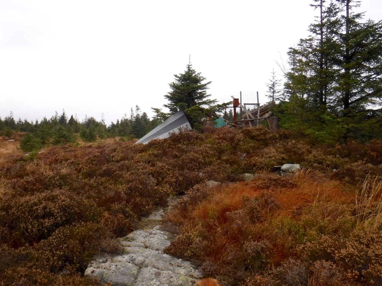
ex-Fire Tower
Unfortunately we still had some trees between us and the summit and there was not any obvious break to use so we had to wind our way through the trees. Eventually we stepped out into a clearing with a collapsed fire tower, an upright cairn and a white-painted trig pillar.
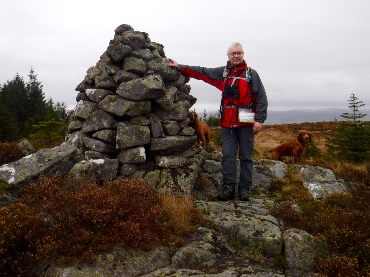
Cairn Edward
From Cairn Edward Hill we had views of Loch Skerrow and Stroan Loch. I thought there was flooding to the SW but that was because I had mistaken Woodall Loch for Loch Ken and the “flooding” was in fact the southern section of Loch Ken.
Heading down my main worry was that we didn’t blunder over the drops at the outcrops. With this in mind we decided to try and flank the largest outcrop, and this took us past the forest break we had used as our guide on the way up. We floundered across more tussocks and into the forest where the going was much easier. We could see what we were standing on and the main difficulty was avoiding being poked in the eye by a branch.
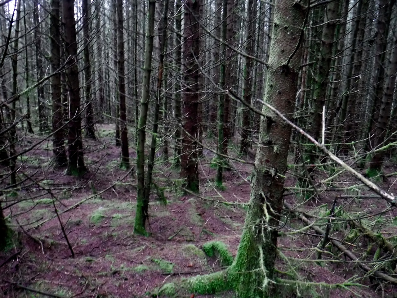
Easy going in Cairn Edward forest
We did overshoot a little and eventually reached the forest track about a 150m from its end, but the going underfoot was much easier among the trees than it had been in the break.
Just for the fun of it we took another track back towards the car park.
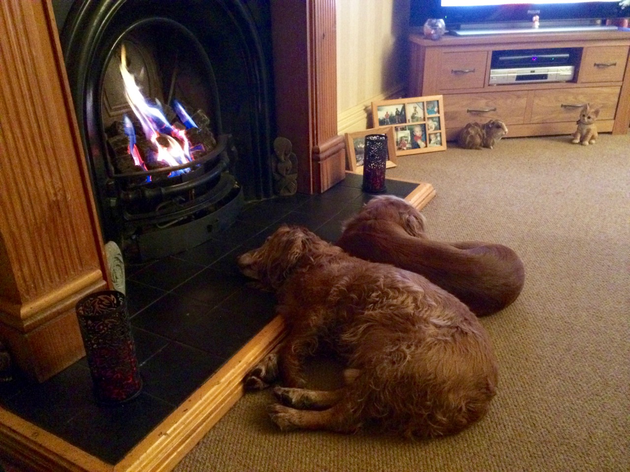
Eddie and Sweep relax after the walk
