4.1 miles 1h 48m ascent 57m
Lancaster Canal: Sedgwick to Kendal
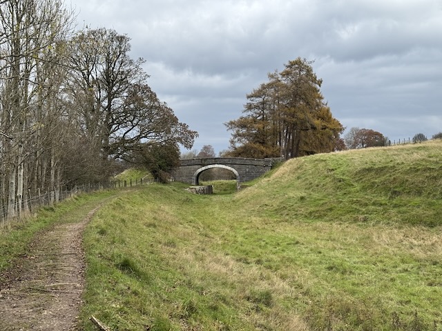
A towpath walk beyond the reaches of the canal’s waters: at times beside a bramble-filled ditch; but sometimes just the slightest dip in the ground; or a grass-lined trench kept clear by grazing; then lost in woodland; or widening where narrowboats had once turned; sometimes it was gone, as if it had never existed, leaving isolated bridges in empty fields. The kissing gates were built for the low in BMI, the more simple gates were obviously low on someone’s repair list and occasionally guarded by cows. Grassy ways and tarmac paths took us through agriculture and industry, past and present while sycamores, hawthorn, and late blooming wildflowers lined the way. I wondered what the engineers and navies who built these Northern Reaches would think of their efforts being repurposed for hikers and dog-walkers.
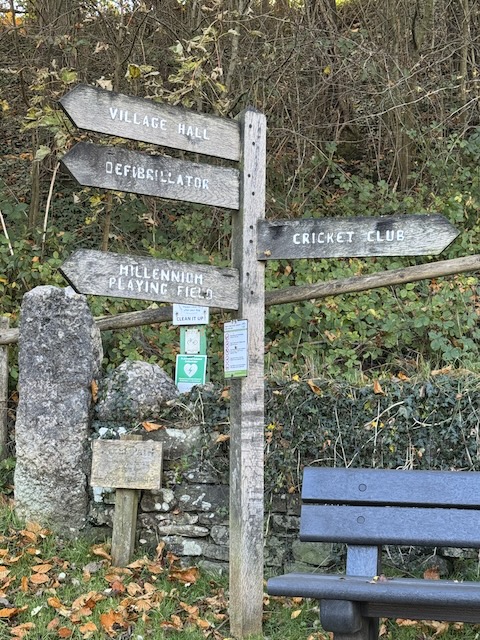
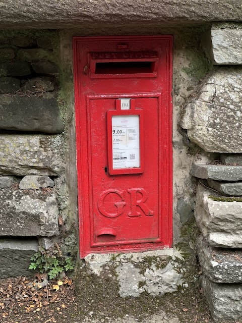
We parked in Kendal and took a taxi back to Sedgwick, that quintessential English village with a postbox from George V’s time, 1910-1936, a skew bridge, and signage to a defibrillator. I had been discomforted by the name of a cottage the day before: Wilsons Cottage, my eyes drawn to the missing apostrophe — genitives passing themselves as plurals wound my soul — but I was able to avoid reading it again.
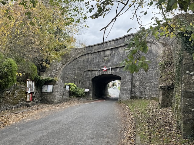
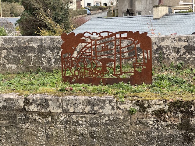
We took a moment to read the information boards at the base of the aqueduct before climbing its steps to the towpath and empty aqueduct. A Corten steel sculpture mounted there depicts a horse-drawn cart passing through the arch of the aqueduct. However, it took me a while to ‘decipher’ the artwork; I initially thought the horse was pulling an anvil.
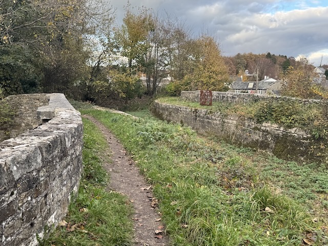
Sedgwick Aqueduct is one among five road aqueducts originally built on the Lancaster Canal. There are also 12 ‘major’ aqueducts taking the Canal over rivers and streams. Only the aqueduct which took the Canal over Aqueduct Street in Preston no longer survives, having been demolished when the Canal was cut back in the early 1960’s approximately 1 mile from its original terminus.
One other notable change, however, was the replacement (again in the early 1960’s) of the original 1796 Bulk Road aqueduct in Lancaster with the pre-stressed concrete trough that motorists now drive under when approaching the City.
— from the info board
Perhaps I’ll go back to the Day 1 post and include the phrase ‘pre-stressed concrete trough’ in my description of the Bulk viaduct. I think it captures the aesthetic very well.
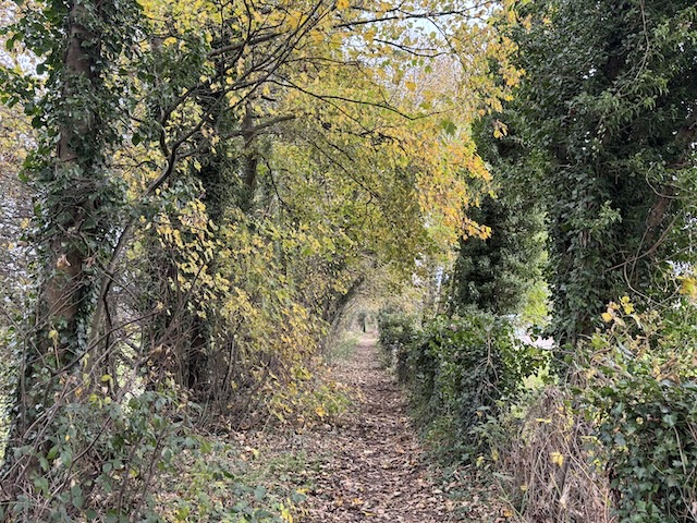
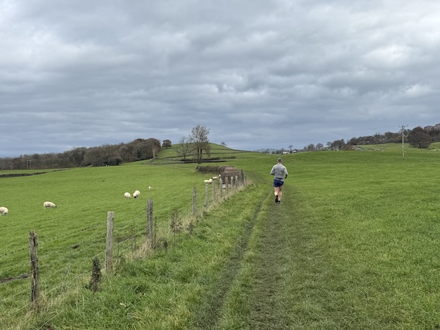
The towpath left Sedgwick, following a tree-lined path beside the canal’s trench. However, within a couple of hundred metres, the trench vanished, and we found ourselves walking across grazed fields. There was no evidence of the canal’s presence here. It seemed unlikely that the trench would have filled in naturally so quickly, and I couldn’t understand why a farmer would go to the trouble of levelling it. The best explanation I could find was…
After the canal was dewatered in the late 1940s and 1950s, the empty trench was used as a convenient tipping site. Sections of the dry channel and basins north of Sedgwick were deliberately filled with rubble and municipal waste. Once the waterway was formally abandoned under the Transport Act 1953 and subsequent 1955 legislation, stretches passing through rural fields between Sedgwick, Natland, and Kendal were bulldozed and levelled to return the land to pasture and agriculture.
Isolated bridges like number 179, the Horse Park Bridge, stand in the middle of fields, all that remains of the canal. This one looked as if it might become a stand of trees over the next half century. Walkers stumbling upon it then might wonder why such a structure was built in the middle of a wood, a quarter of a mile from the river in one direction and the railway in the other.
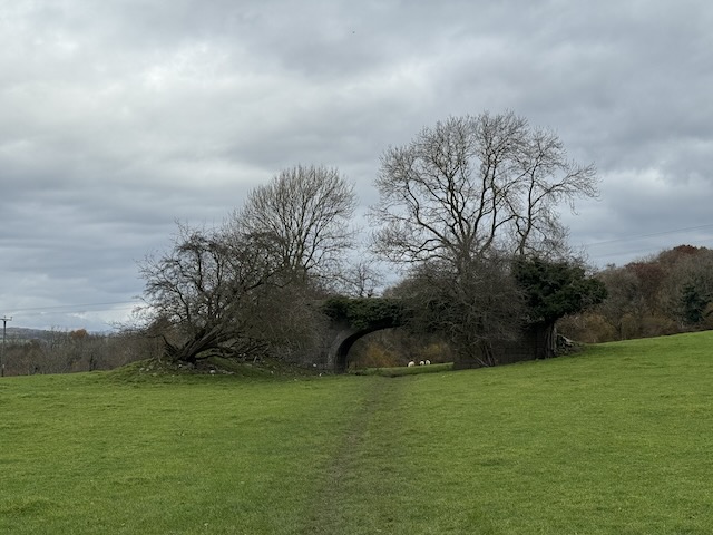
Larkrigg Spring Wood, just beyond bridge 179, existed before the canal was built through it. However, the canal has since disappeared, and trees now grow in the trench where it once stood. As I approached the wood, I did notice another remnant of the canal. The dry stone dyke surrounding the wood has a gap wide enough for the canal and towpath, now bridged with modern fencing and a narrow gate.
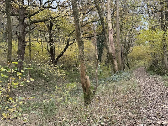
Just after the wood, the canal widened into what must once have been either a winding hole or berth. This was a little way before bridge 180, Larkrigg Hall Bridge. The stones of its arch and the edge of the towpath are painted white, the only bridge I recall being painted like this.
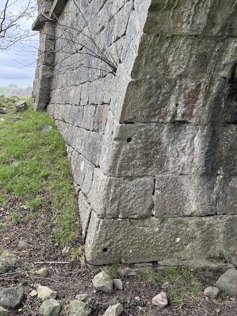
All the canal bridges had two pairs of holes on the towpath side of the archway. We pondered these at the time but could not come up with an explanation. Apparently they would once have held ‘towrope rollers’ placed to prevent the heavy towropes from sawing into the stone as horses pulled boats through the bridge.
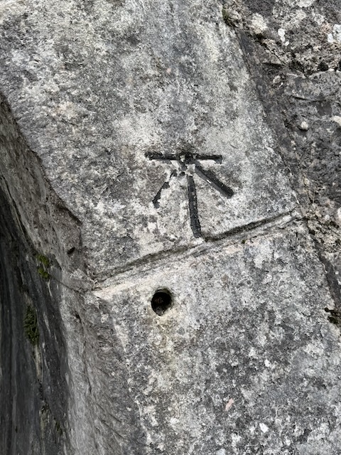
Bridge 180 had an OS benchmark carved into its far side. I suppose it was the only semi-permanent structure the cartographers could find. And perhaps that is why the OS map has names for these isolated canal bridges?
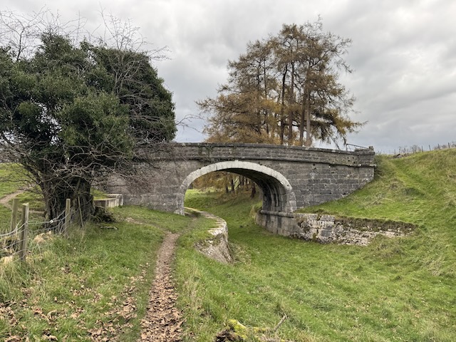
After the bridge, there was a sudden change from ditch to level field, supporting the idea that the canal was deliberately filled in some places; but I was still left wondering, “why?” The track to Larkrigg farm no longer uses the old canal bridge, the modern track taking a more direct route.
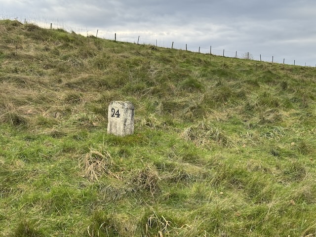
All of the canal milestones we passed had been on the towpath side of the canal but the three-miles-to-Kendal milestone was on the far side. Perhaps it was displaced during bulldozing, perhaps it had always been on the far side. Someone has looked after it, even going to the trouble of painting the inscribed numbers, ‘3’ and ’24.’
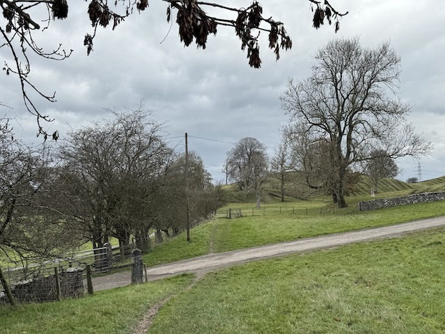
Of those remaining three miles, half was through agricultural land, with little sign of the canal other than its bridges, the other half was in the town itself. Many of the fields we walked through had been harvested, leaving thick stalks in the ground (my farming expert was uncertain, AI suggests forage maize). There were more sycamores and the hawthorns even had some haws. And strangely, just outside the town, we saw a heron rising from what was once the canal. I can only presume it spends most of its time on the River Kent — or perhaps there was a nearby pond we could not see.
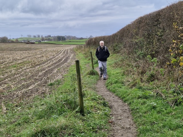
At the edge of town, we were greeted by another cacophony of sparrows from a hedge beside the towpath and, unfortunately for the superstitious, a single magpie.
In Kendal itself, part of the canal’s route now carries Natland Road, but a cycleway/walkway has been built alongside to carry the towpath trail. Much of the last mile, which by then was back on the canal’s route, ran in what looked like a disused railway from the Beeching era. But, an attentive eye would have noticed the bridges would have been too low for trains.
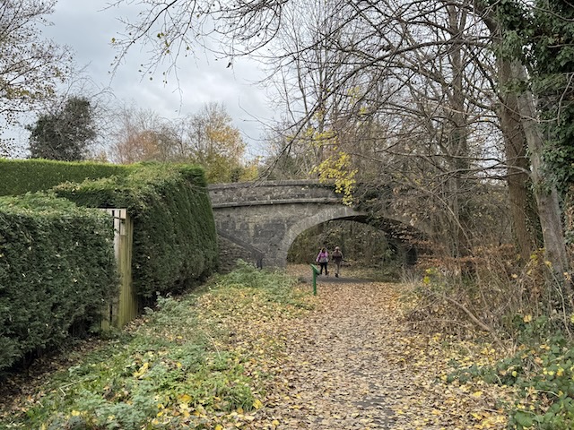
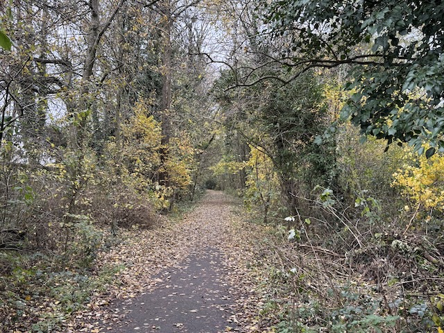
A large triangular stone sits beside the path near Kendal Leisure Centre. It’s purely decorative, not some ancient monolith, though I suppose it will become one in time. The canal trust missed a chance here. They should have co-opted it and had it inscribed “Canal Head 1, Lancaster 26.”
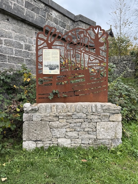
I had been wondering how high the bridge numbers would run; and secretly hoped there would be a number 186— I grew up in a house with the number 186. I was excited to find there was.
The final silhouette sculpture stood beside Bridge 186; it shows a man and woman at the tiller of a narrowboat. The bridge, though of a similar style to the other canal bridges, has a different design, being a ‘change bridge’, where horses could change sides without the need to unhitch them from the narrowboat. I take it the towpath switched sides here in bygone times.
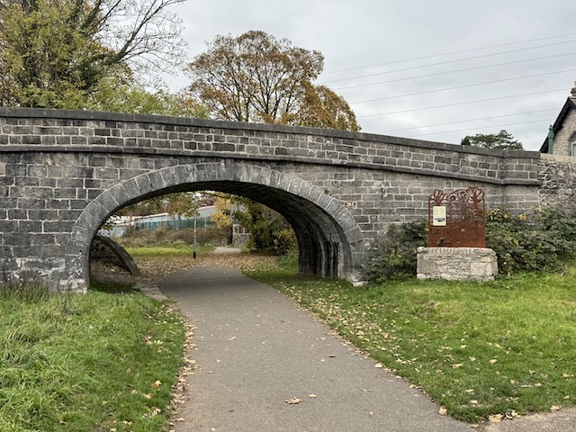
The final bridge was number 187. It had been widened without any concern to use the same style for the widened section. From there it was just another 300m to the canal head.
Wildflowers bloomed beside the walkway, a surprising sight for this time of year. Audrey and I struggled to focus on a particular specimen, but from the blurred photos, I think it was scabious. But for the final 50m of the towpath trail, the aesthetic changed from ‘leafy country lane’ to ‘grim inner-city alleyway’. I suppose if we had been walking in the other direction it would have been a pleasant transition.
At the canal head, there would once have been a large wharf where narrowboats berthed. The ‘marina’ area is now allotments, and the dock is a recycling centre.
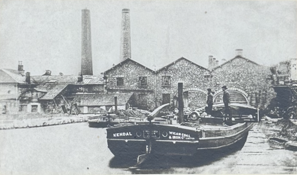
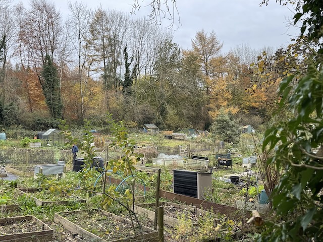
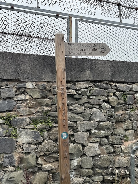
Where the Lancaster canal had once begun, there was no information board, no monument, just a Lancaster Canal fingerpost for “Ice House 1 mile, Towpath Trail.”
It could at least have said “Lancaster 27 miles.” And, incidentally, there is no Ice House there, just an information board where the ice had once been — with a photograph of a different ice house.
We had parked in the Castle Parking area near bridge 187, so we made our way back along the towpath to finish our walk. Beneath the bridge the word ‘proprioception’ was painted on the stones — a term from my clinical past that I did not expect to see as graffiti. Presumably, it is an urban artist’s tag rather than a passing comment on somatosensory perception of orientation, movement, and mechanical forces independent of visual input.
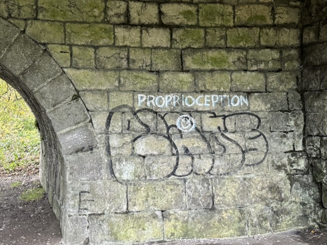
Though perhaps it could be a call to close one’s eyes and savour the non-visual experience.
I hadn’t expected much from this last section of the canal trail. It was just a short walk we could squeeze in on the drive home, but I actually enjoyed it. It was interesting to see the canal in its various stages of disappearance, and there was enough left behind to give a hint of how it was in its heyday.
Download file for GPS