9.67 miles 4h 17m 139m ascent
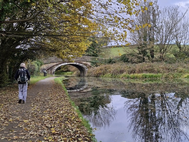
Lancaster to Kendal Canal: Lancaster to Carnforth
The Lancaster Canal opened on 27 November 1797. It linked the limestone quarries in Lancaster and Kendal with coalfields near Wigan. Black coal and white limestone were the canal’s main cargoes, which is why it came to be known as the Black & White Canal.
The Towpath Trail between Kendal and Lancaster is said to be 27 miles in length. We decided to walk south to north so we wouldn’t have the sun in our eyes; that worked. I also thought we might have the prevailing wind mostly behind us, but the winds blew mostly ENE. I had been a little worried that a canal towpath for four days might be a tad boring, but I was wrong.
Our first day was the section between Lancaster and Carnforth. We parked at Carnforth Railway Station and took the train into Lancaster. This was my first visit to Lancaster but what with it being the the beginning of our day’s walk, I didn’t want to spend too much time exploring.
Our plan was to join the canal near the cathedral, so we only saw a glimpse of the city as we passed by. I believe the large building on Meeting House Lane was a Meeting House but it was actually the Storey Institute. We could just make out the castle over to our left. Penny’s Hospital, an old alms house, stands opposite Sir Simon’s Arcade. I had assumed Sir Simon and the alms house might be connected, but they aren’t. The arcade is named after an old inn, named for Sir Simon Fraser, Lord Lovat, a prominent figure in the Jacobite uprising of 1745. Lord Lovat was captured at Culloden and later executed in London. It’s strange to have a Jacobite lord’s name in a Lancashire town, but apparently, there was strong support for the Jacobite/Catholic cause at the time. However, the town now displays its loyalist credentials with a statue of Queen Victoria standing across from the Town Hall in Dalton Square.
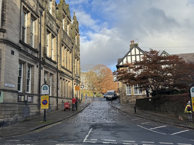
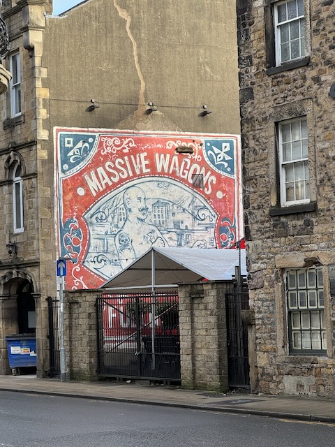
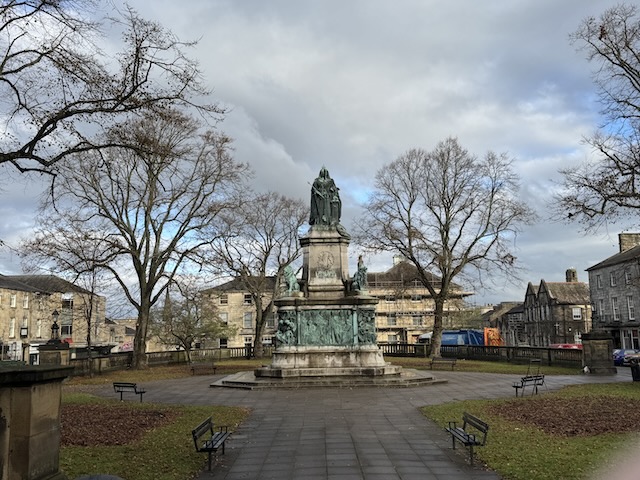
I was on look out for the Cathedral, and initially dismissed the church we were approaching as a parish church until we read its name, “Cathedral of St. Peter.” As we came to the bridge over the canal a young woman walking towards us took a tumble, warning us that the leaves on the pavement could catch the unwary.
Unfortunately, there was no way down to the towpath at that bridge — number 101. We searched for an alternative route, only to find our way cut off by a wall. A local man gave us directions, sending us back towards the cathedral. However, he had told us to turn right at the church, which put us on the side of the canal. As we retraced our steps, we met him again and he pointed for us to go left this time.
The bridge on Moor Gate, surrounded by old mills, had steps down to the towpath. So we joined the canal’s towpath at Bridge 102. Four days later, we would leave the canal at Bridge 187 in Kendal.
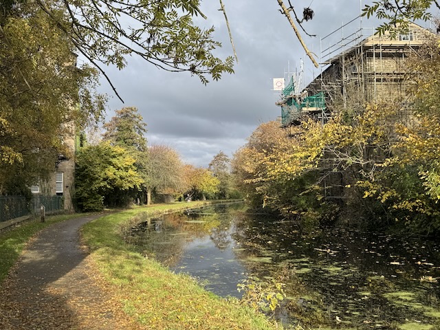
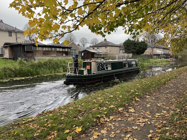
The canal towpath was very much like a well-maintained park. The canal itself, clear in places but with stretches green with duckweed. There were several narrow boats, which I was mistakenly referring to as longboats. We didn’t see any Vikings, though Audrey did claim descent from them.
Our first aqueduct was a rather utilitarian structure over the A589, Caton Road. Great effort had been expended ensuring it did not include any aesthetically pleasing parts. An information board informed us:
You are now standing on the Bulk Aqueduct which replaced an original aqueduct built between 1792 and 1795. It was rebuilt to a modern design in 1961 when Caton Road was widened.
A little further along the canal was the more impressive and visually pleasing Lune Aqueduct, spanning the River Lune. It dates from 1797 but has been restored recently.
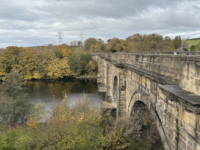
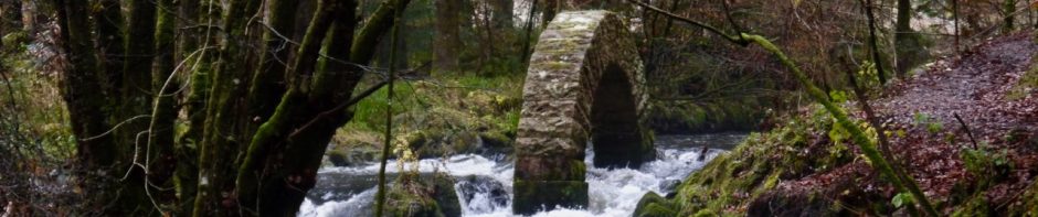
Just after the aqueduct, the canal widens into a winding hole, a place for narrow boats to turn. I wouldn’t learn the term ‘winding hole’ until reading it on an information board the following day. The next bridge, 108, had information boards about the Lune aqueduct, which is the place shown in the photograph at the top of the post.
A relief showing John Rennie, the canal’s engineer, and an unknown navvy, reads:
I’ve been here over 200 years now.
Year One, Men made my feet. 60 tree trunks under the river bed.
Year Two. My structure built. Stacking Beautiful stones by hand.
Year Three- Looking good. More like an aqueduct.
Year Four. Almost finished. My balustrades are carved.
Year Five, I’m done and boats ride along me carrying lime and coal.
To Public Prosperity
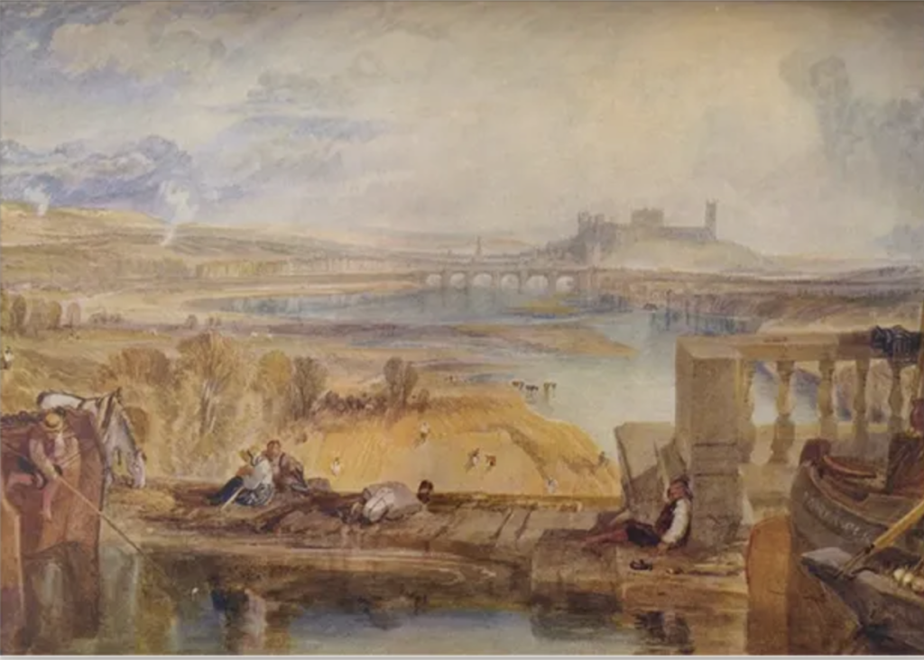
That last line is apparently inscribed on the aqueduct itself. It sounded rather ‘Victorian’ to me but inscription was written more than twenty years before Victoria was born. Lune Aqueduct has been the subject of several paintings since it was built and JMW Turner even painted a view of ‘Lancaster from the aqueduct bridge’. It looks nothing like the photo I took from there.
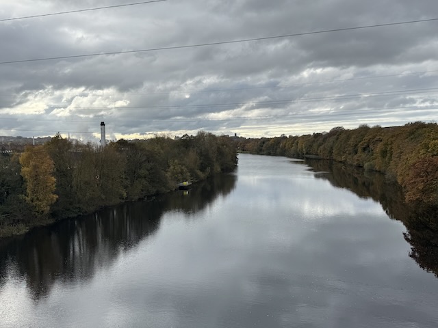
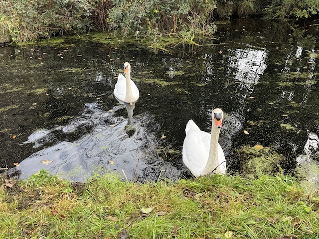
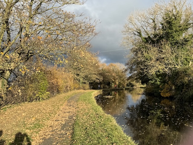
Between the River Lune and Hest Bank, the canal runs through farmed countryside with some views across to Morecambe Bay. The sun always seemed to be shining a couple of miles away, but every once in a while it lit up the autumn colours in the trees lining the canal. We were both surprised to find so many plants still in flower so late in the year, but also the lack of haws on the hawthorns. There were several narrowboats with a couple actually moving. The swans we saw, and their cygnets, must be used to being fed because whenever we stopped to watch them or take a photo, they would glide over towards us. Luckily, they stayed in the water.
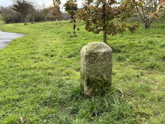
It took me a while to get used to the towpath milestones; some were legible, others too weathered to read and they showed the distance you have travelled as opposed to telling you how far it is to go.
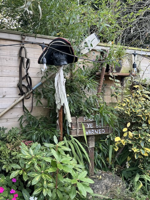
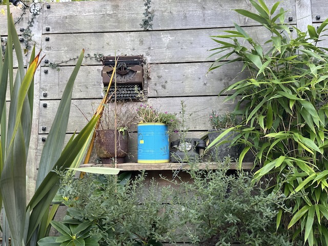
We had walked a section of the Lancaster canal as part of the Comedy Way, between Carnforth and Hest Bank, some eighteen months earlier but in the opposite direction. The Halloween stuffed ‘guys’ we had seen before were still here, so I presume they are year round adornments.
As we walked along I spotted the Hest Bank pub and decided a pub lunch might be better than the sandwiches in my ruck sack. Audrey didn’t need much convincing. Having been disappointed previously we were looking for signs it was open, and not already full. We could see lights on inside and I spied tables, set and unoccupied. But a woman at the door told us they were shut. I asked when they opened. Not that day, they were moving!
Unfortunately my mind had adjusted into pub lunch mode and I had found my body was well on the way to changing into sitting down mode — I turned to Google to find another pub by the canal and we had our pub lunch at the Royal Hotel in Bolton-le-Sands. A Reuben Sandwich.
Our previous walk had left the canal to walk across Mount Pleasant but this time we stayed on the towpath trying to spot where had left and rejoined previously. I didn’t make much of it at the time but we saw lots of sycamores; with tar spot and curled up leaves. From what I can gather, the curled leaves are more to do with the lack of rain earlier in the season than the tar spot.
While having our elevenses we could hear a loud “chuck” sound from a tree on the far side of the water, and were surprised to see it was a magpie. I don’t think I’ve heard a magpie before.
And as we approached Carnforth, the agricultural land gave way to houses and more industrial surroundings. We left the towpath in Carnforth at bridge number 128. It was then just a short walk down Market Street, past buildings of honey coloured stone (sandstone?), the war memorial and a Co-Op supermarket that made the word “Odeon” pop into my mind — from its appearance. I was almost right; it was the once the Roxy. I was tempted to have tea in the 1940s tea-room at Carnforth Station but we were both ready for home by then.
Download file for GPS