12.8 miles 950m ascent 2 days (probably 14 hours)
 Where do I start this tale? I’ll skip the story of the packing and begin at breakfast. Preserved Killick, fresh out of Portsmouth, could not have beaten it. I slipped the serviette from its holder laid it across my lap and set about the fresh homemade muesli, toast, bacon, eggs, sausages, tomatoes, haggis, mushrooms and a cafetiere of coffee, while our landlady filled my flask with coffee and delivered the day’s sandwiches. I had of course been exercising a degree of self control, not wanting to be bloated whilst walking, so had foregone the porridge (which had it been taken would have been sweetened not salted) and declined the offer of additional toast.
At breakfast David and I received the news that Marcin had been recalled by work and wouldn’t be able to join us on the expedition which was very unlucky for him. I hope he gets to complete his MLT at some point.
After breakfast we had a final kit check, packed up our belongings, said good-bye to our landlady and loaded the car ready for the drive down to our rendezvous at the road end near Glenmore Lodge.
Just outside Grantown we spotted some of our fellow trainees changing a flat tyre. Poor Marcin was with them having accepted a lift rather than taking the bus. I hope he made his train in time. Our exped’s start was going to slightly delayed. The drive down was relaxing though and it looked as if the weather was turning out better than predicted: not so cold and not so wet. Near Glenmore we passed Santa’s sleigh drawn by some reindeer, but I didn’t see Rudolf. Perhaps he is only required for night flights. Either that or his nasal erythematosis has been cured.
Once at Glenmore Lodge we got our kit, split into the two groups from Monday and headed off. As the morning went by each of us was given leadership of the group and had to keep the walkers happy, safe and content. Pete Hill threw some spanners in the works pretending at various times to be hyperthermic, confused, potentially violent and eventually content (“this walk is worth every penny of the thousand pounds”). He managed to detach Nick from the group briefly without the leader noticing immediately and played the part of a “helpful” group member pointing out possible paths every few minutes. I think Ben shone dealing with Pete’s pretended foibles.
We were looking for a path, marked on the OS, leading up to the shoulder south of Creag nan Gall. We saw the other group climbing up through steep pathless heather and hoped we would encounter an easier way. We found a path after a burn, and therefore not that marked on the map. This was definitely a route that had been used by other walkers. We were spared the heather since this route rose through the woods, but it was steep and muddy in places offering opportunities to practice our spotting. It would have been real problem descending by this route.
Once up the mudslides and out onto the hillside we stopped for a break near a gnarled ancient Scot’s Pine with Tom da Chiomhead across the burn.
After the break we had some navigation practice, heading first for the ring contour at 003098; then the lochan at 005096; burn confluence at 012092. I chose to skirt the ring wee knoll that lay between me and then headed directly for the lochan, or directly as one could given the boggy terrain. When heading for the burn confluence however I chose to take a more indirect route than the rest of the group with the aim of climbing out of the bogginess sooner. This added about 300m to my leg, and in retrospect the benefit was not worth the extra effort. If anything the bog was easier than the heather on the slopes.
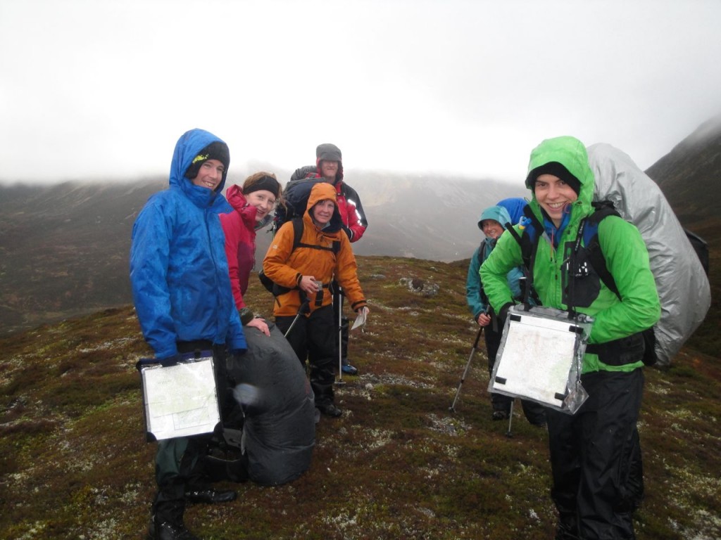 Our next target was a 672m spot height. We all headed upstream and chose various points to head up onto the col. My decision had been to follow the burn for 500m then head onto the col. As it turned out the burn ran in quite a narrow section and in the real world I would have ditched my plan and climbed out for the possibly easier slopes above, but I stuck with my plan to see how it worked. This and the previous leg, probably helped by the heavy rucksack sapped my energy so I was last up to the 672 pt by quite some time I think. While here we spotted a pair of reindeer on the horizon.
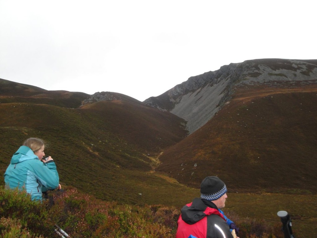
From here we headed down past a small lochan and along curving spur down to Strath Nethy. Just past the lochan I took a tumble into the soft heather but found myself stuck on my back like a beetle on its back, until I was dragged back to my feet.
I suspect I had knackered myself out and found myself on the slippery slope where I was fatigued and therefore slower, the group arrived at targets before me and had a longer rest than I did at each one, so I steadily got slowed even more. A break overlooking the steep scree slopes of Stoc na h-lolaire though did give me a chance to refuel and rest. From there is was mostly downhill.
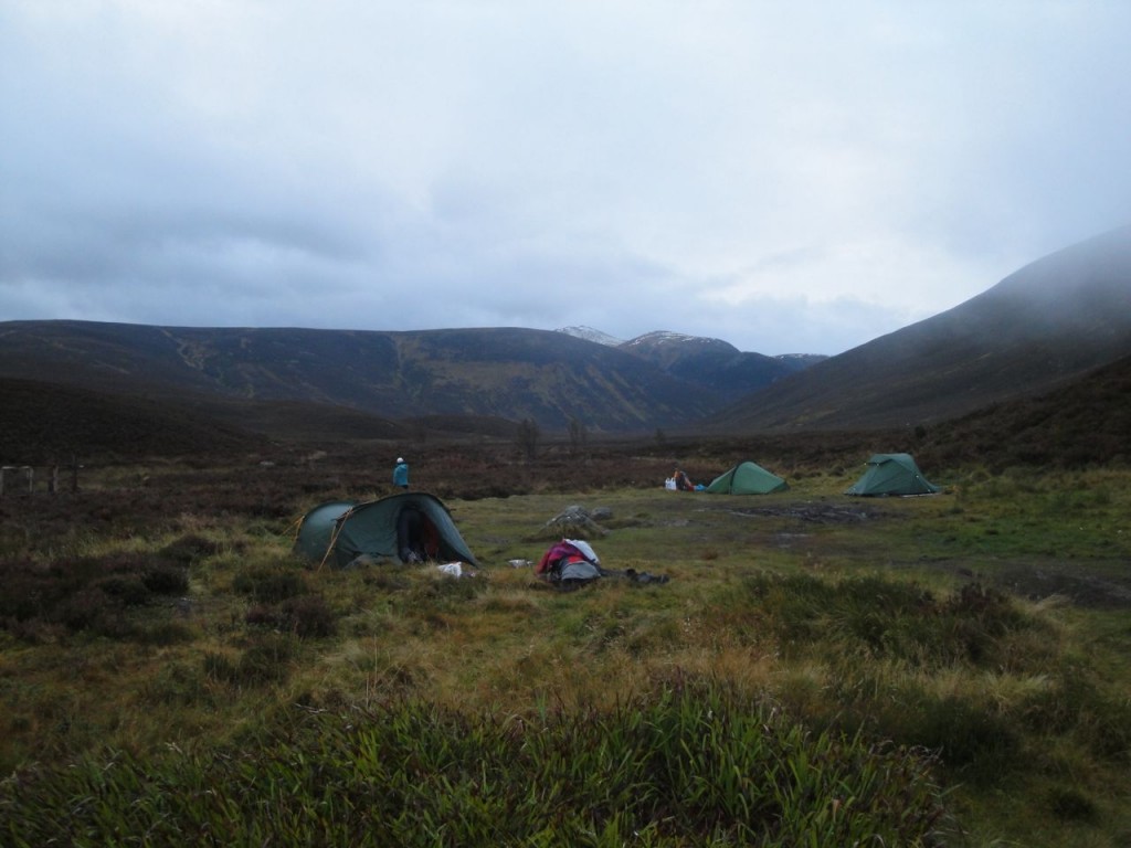
We eventually found the faint track on the valley floor and followed it up to Bynack Stables where we were to camp. I had managed to maintain a reasonable degree of dryness throughout the boggy terrain but within 250m of the campsite I stepped into a hidden pool and wetting both feet. The other group were already camped, tents up and cooking their tea.
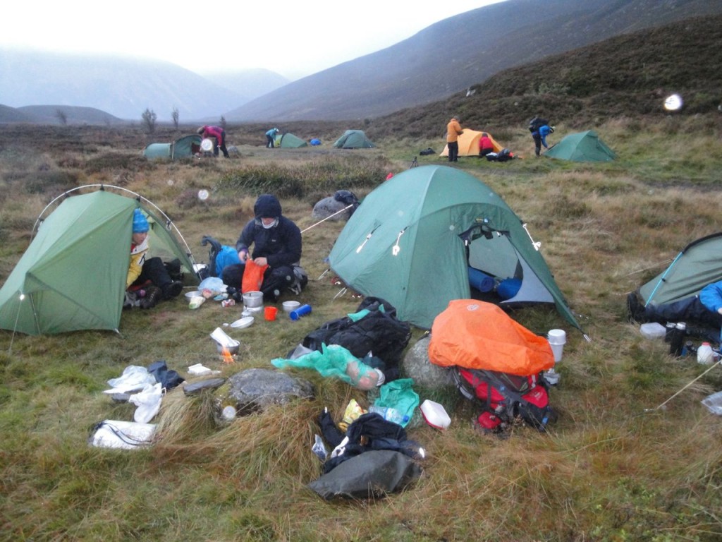
I unpacked my gear, put sleeping stuff into the tent and kept my things in reasonable order, or so I thought. Photographs prove otherwise. I certainly felt better for getting dry socks on and some warm food into my stomach. I then lay on my mat waiting for the night navigation exercise: ETD 7.15 pm. We were told it would last about three hours.
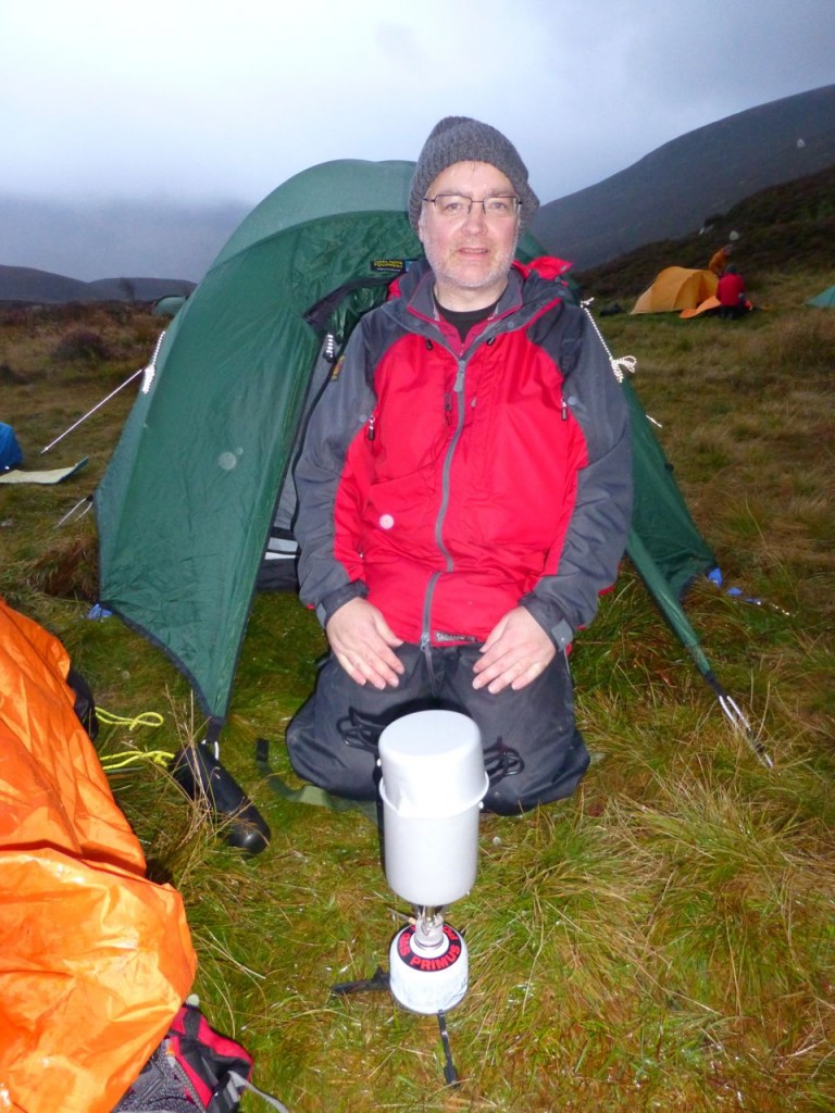 I had thought the rucksack would feel lighter without tent, mat, cooking stuff, spare clothes, flask etc, but it didn’t. I was pleased that my head-torch was up to the job, though it did seem weak compared with Pete Hill’s which could I imagine have been used as a searchlight for enemy aircraft.
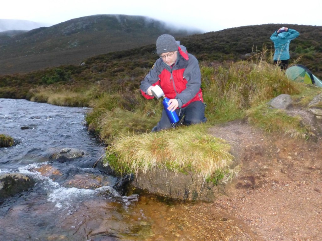
The night was a series of legs following bearings while pacing out the distance to various ring contours, lochans, stream junctions. On the return journey we were following one person who had a destination known only to them, and had to identify where they went. All this was in heather and bog. Great fun but again I tired markedly at the end and was certainly glad to get back to camp. We had been out over 4 hours. I sat on a comfortable rock and ate some dates washed down with half a litre of fresh water (a schoolboy error).
Lying snug in my sleeping bag, the rain pelting on the tent and some animal making a noise ouside, I rued my nocturnal fluid intake. I tried mind over matter, using Tai Chi techniques but eventually had to accept that I would have to get up, get dressed and go for a pee if I was going to get any sleep. At least the rain stopped for me. It was, however, a useful excursion. Not only did I significantly improve my level of comfort, but I also realised how little I could see without my glasses on.
Two cartons of Oat so Simple, some dates and a cup of instant coffee was a smaller breakfast than the previous day but just as enjoyable. Then everything was stuffed back into rucksacks and we set off for Meall a’ Bhuachaille.
As on the previous day we each had stints at leading the group. Our first leader decided that we should start off with a bit of a run to warm up, an option that didn’t really appeal to me. So as everyone nodded I was the killjoy saying I would rather warm up gradually. So we mad our way along the track noticing and discussing land features and plants. There was some discussion as to whether we should head directly for Ryvoan Bothy (heathery bog) or take the path (firm but further). The decision was the direct route but on closer inspection we reverted to plan B.
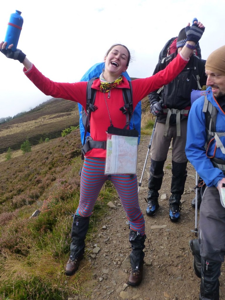
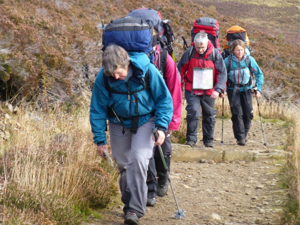 We then took the path up the Corbett, stopping at times to practice finding our position using land features, slope aspect and bearings from distant features, and estimating the time it would take the group to reach particular points. This latter task was I think quite a clever variation on how long you yourself would take.
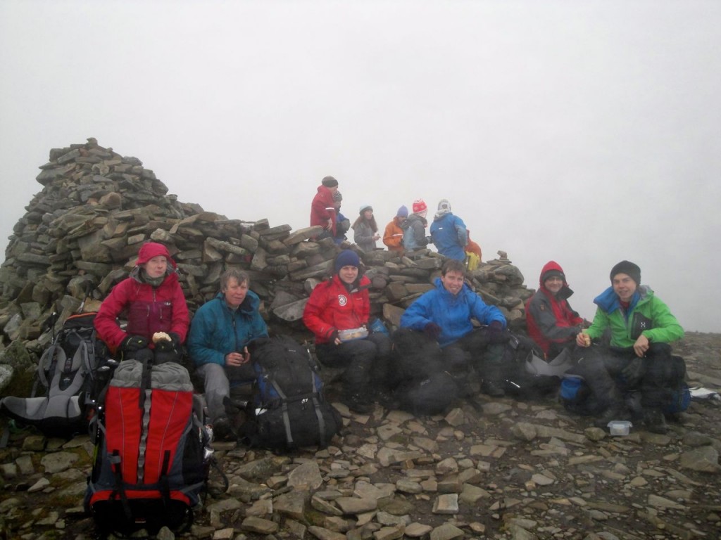
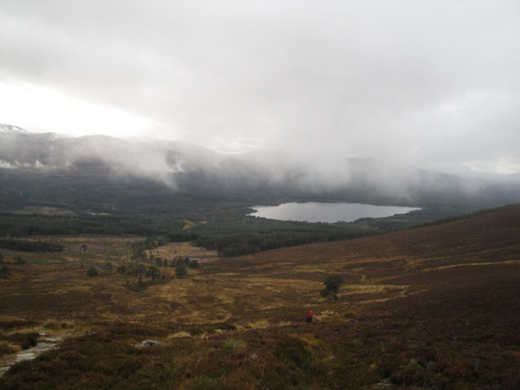
After a break at the summit cairn we headed down following the path that leads to Allt Choire Chondlaich, with nice views of the snow topped Cairngorms and Loch Morlich, a kettle lake (http://en.wikipedia.org/wiki/Kettle_(landform)).
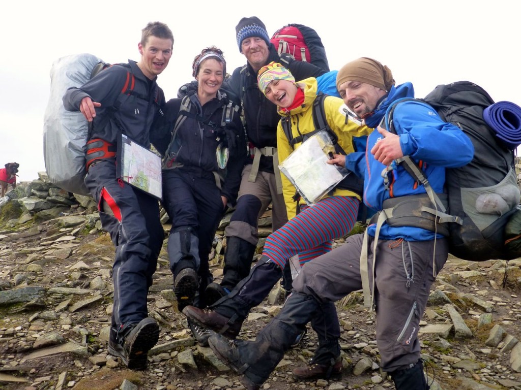
There was a stop for a group photo and personal debriefs in the forest, then we returned to the cars, our log books were returned and we got into some dry clothes.
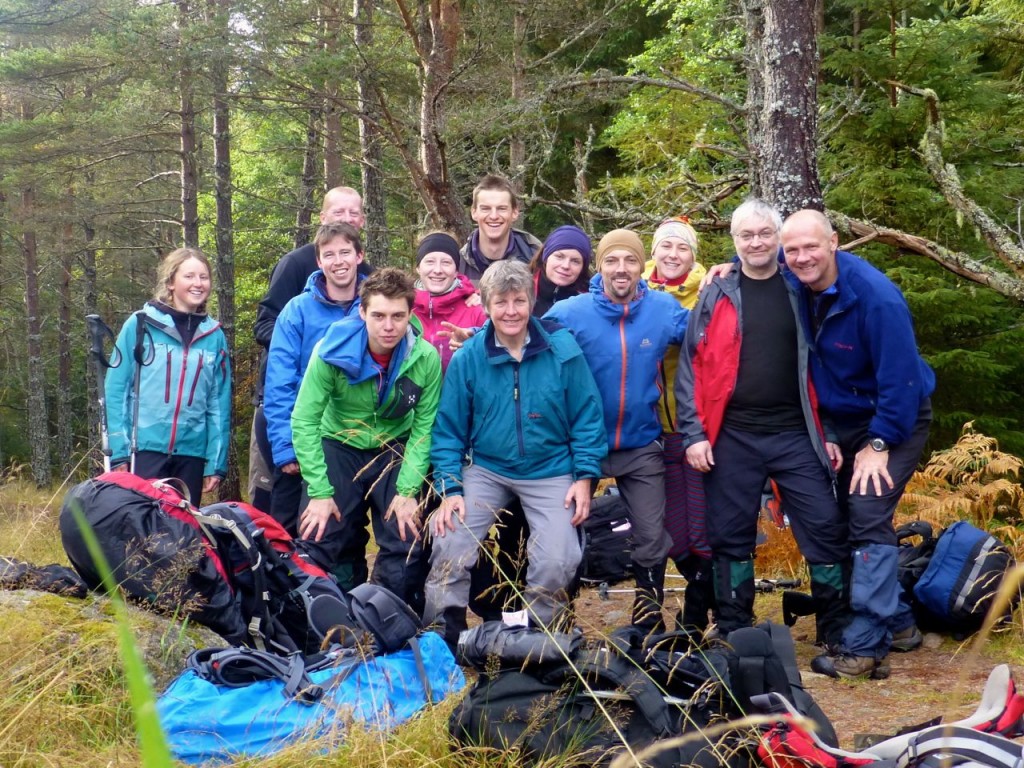 A select few had coffee and cakes at a nearby visitor centre then we went our separate ways, our ML training course finished.
I learned a great deal on the course. The course trainers were all excellent and the other trainees were a good bunch of folks. I’ve been pacing distances even going into work or walking the dogs and will be putting Flora Celtica on my Christmas list.

