11.1 miles 5h 19m ascent 674m
Hardrig Head-Whitelaw Brae-Windgate Bank-Hudderstone
This walk started at a pleasant car park near the church in Lamington. There is a tree lined single track road leading up to Baitlaws which would be good for tree spotting in the summer. It was gently uphill which brought a warmth to my heart, knowing the last kilometre homewards would be downhill.
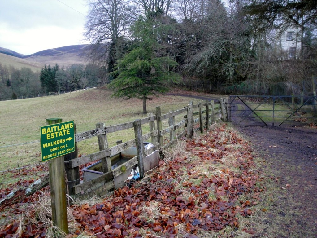
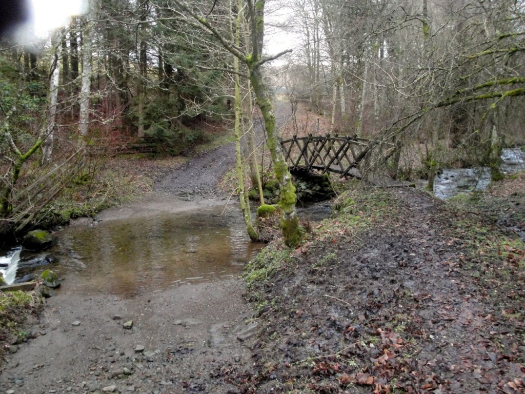
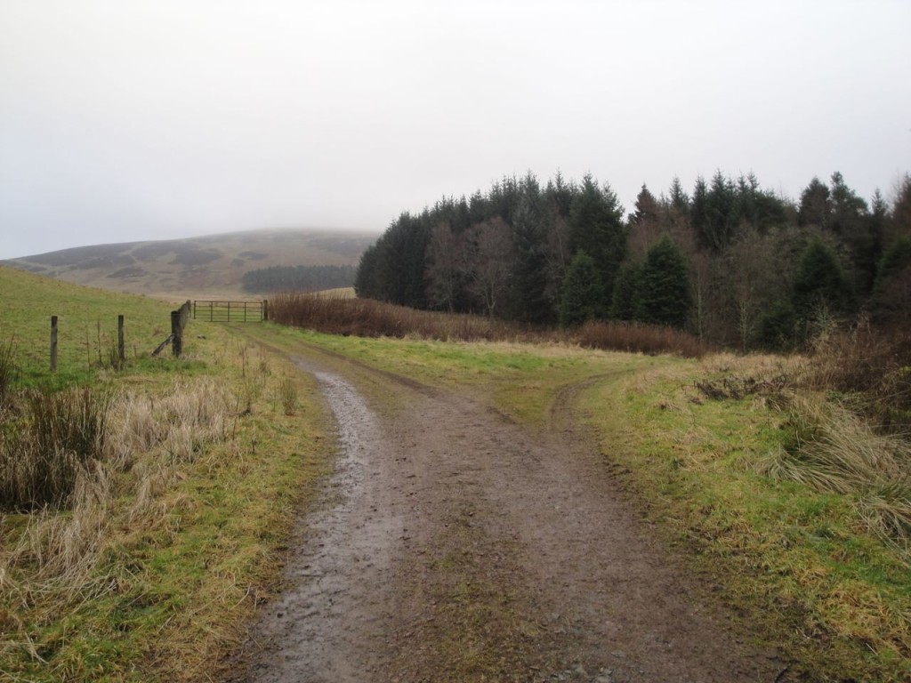
At Baitlaws there is a sign encouraging walkers to head left down to the burn where there is a choice of wet feet (ford) or dry feet (wooden bridge). Beyond Lamington Burn, and just after leaving the woods, the path forks. I took the right fork and eventually returned down that on the left 5 hours later.
The right hand track passes briefly through the trees where it crosses a couple of small burns then turns south and leads to the farm buildings at Bleakfield. Here again there is a choice of ford or bridge and then a track leading onto Easkgill Rig.
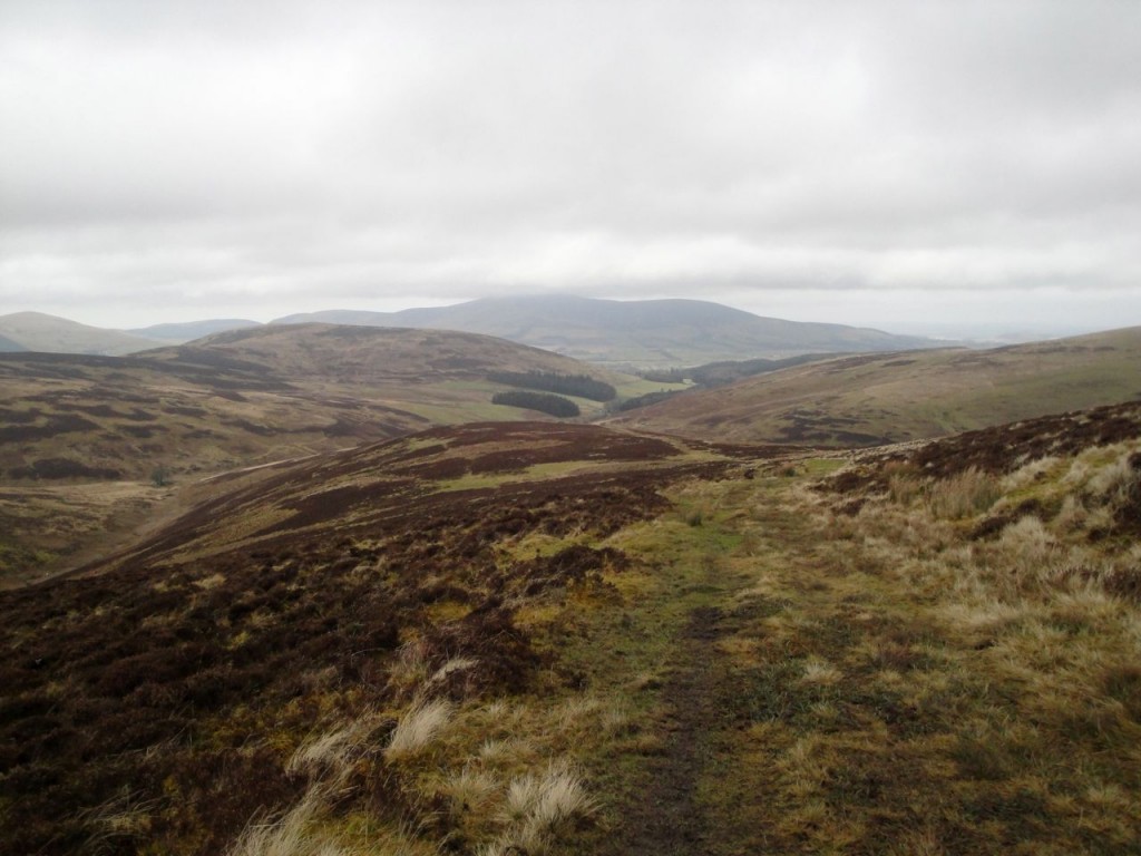
Easkgill Rig would appear to be a rather boring 1.5 km of climb through heather and moss, but has I think got a Bermuda triangle-like region at about 450m. I had been tramping up the Rig, picking my way through soggy areas, watching deer running away and looking at nearby geological features to pinpoint my position. The hilltops were in cloud and the level dropped at times to embrace me.
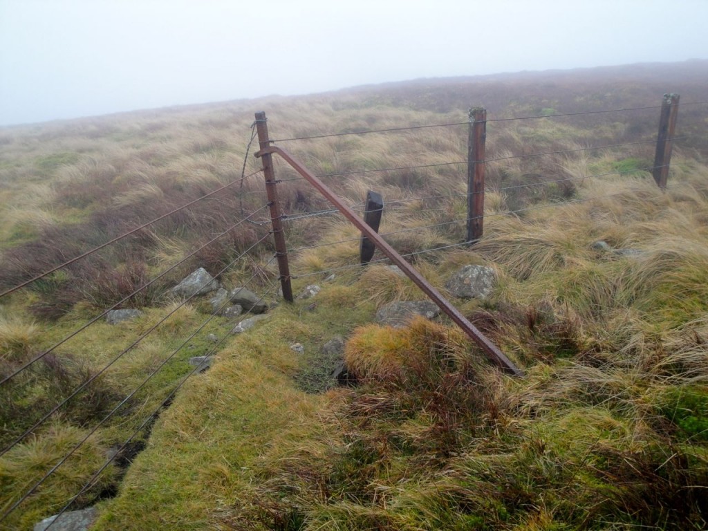
I was expecting to meet a fence or wall coming from my left. All I needed to do was follow the fence up to Hardrig Head. By this time I was in mist and was surprised to meet a fence coming from my right. So either I was not where I thought or this fence was not the one on the map. I was certain that I was on Easkgill Rig, so I decided that the fence’s line might have been moved. It did look new and its bearing was not the same as that on the map. I followed the the fence, but something was wrong. I was now going down hill. Time to stop and think.
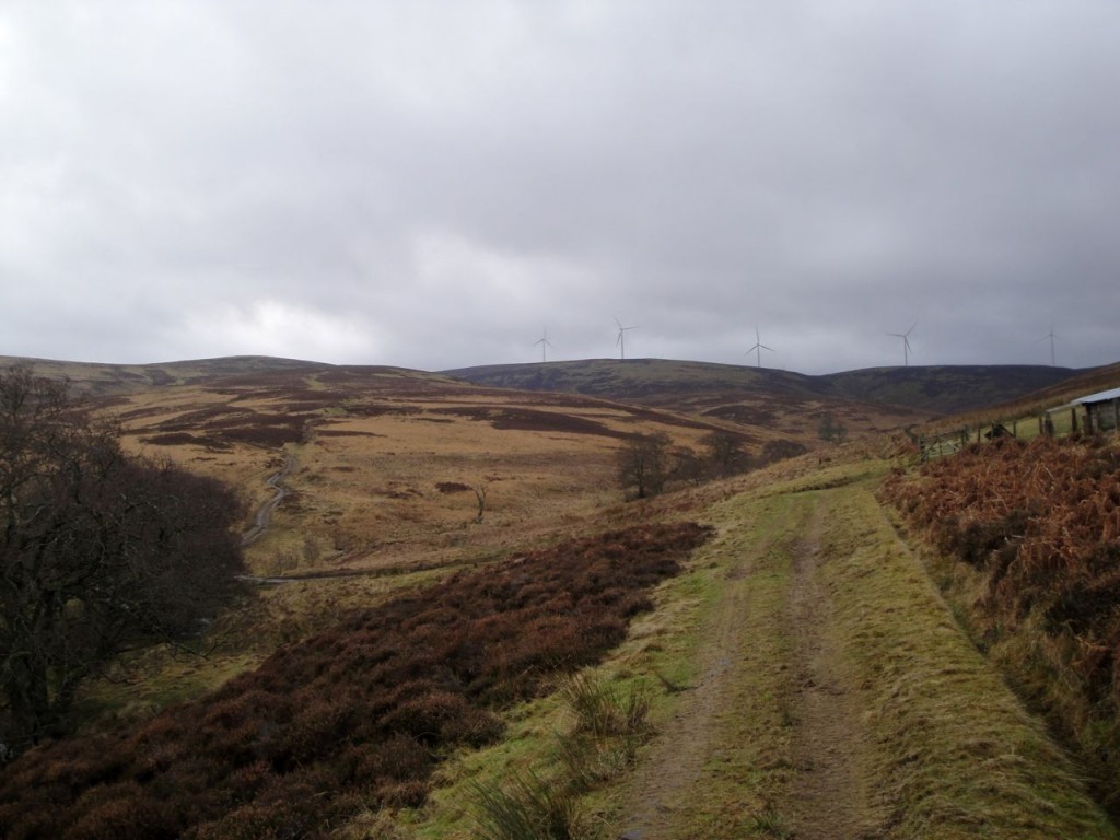
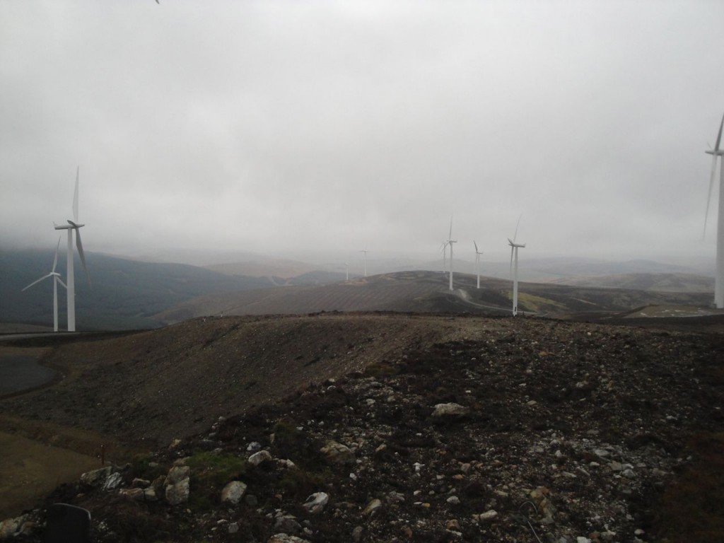
Back where I had met the fence there were several faint tracks leading in at least four different directions. The cloud now lifted to show a hill to my right with wind turbines atop, Hardrig Head. The fence led directly up to it.
Once out of mist I could see what had happened. There was a gap in the fence where I was and presumably vehicles had begun to divert from the mapped path to use this opening. The track I was following had turned to the left but in the mist I had not noticed the change in direction. Had the fence not been there I would soon have had warning that something was awry with my route as I stopped climbing.
I decided to follow the fence line rather than the path, in case the cloud dropped again and led me astray. The way up by the fence was pathless heather and the cause I think of the following day’s aching legs.
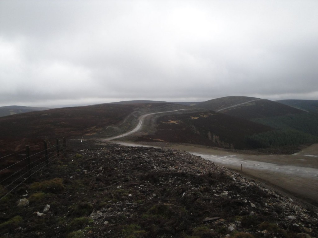
Hardrig Head is at the eastern end of a wind farm array. The map describes a cairn but I did not find one at the highest point. I suspect that either the high point or the cairn may have been destroyed in construction of the wind farm. Looking north from here there are hills and nature. Looking south a broad road linking the wind farm arrays scars the hillsides. Mind you aesthetics are strange things. Perhaps a visitor from millennia past would have looked north and shed tears that the land was now virtually denuded of trees. He would have looked south and seen strange white giants on the hilltops but a valley full of trees.
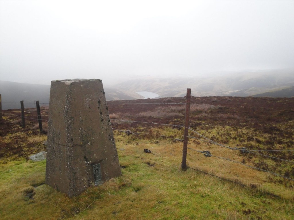
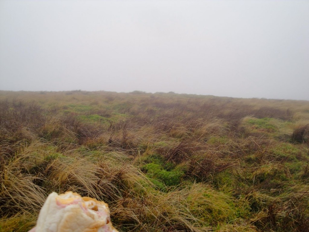
I chose to use the wind farm road to rest my legs for a while, but once at Deil’s Barn Door I relented and returned to the heather and sphagnum of the ridge over Whitelaw Brae to Windbank Gate. There is a trig pillar on Whitelaw Brae which I used as a windbreak for a my elevenses. From here on the walk was in cloud until after Hudderstone’s summit. The SMC Southern Uplands book uses the phrases: “good view”;”splendid view”; “fine view” in describing the glories of Whitelaw Brae and Hudderstone. I was denied these views by cloud but I suppose this meant I paid more attention to the mosses and heather I was walking over. This was certainly a very soggy ridge and a good test of footwear waterproofing. Certainly my boots were clean at this stage of the walk.
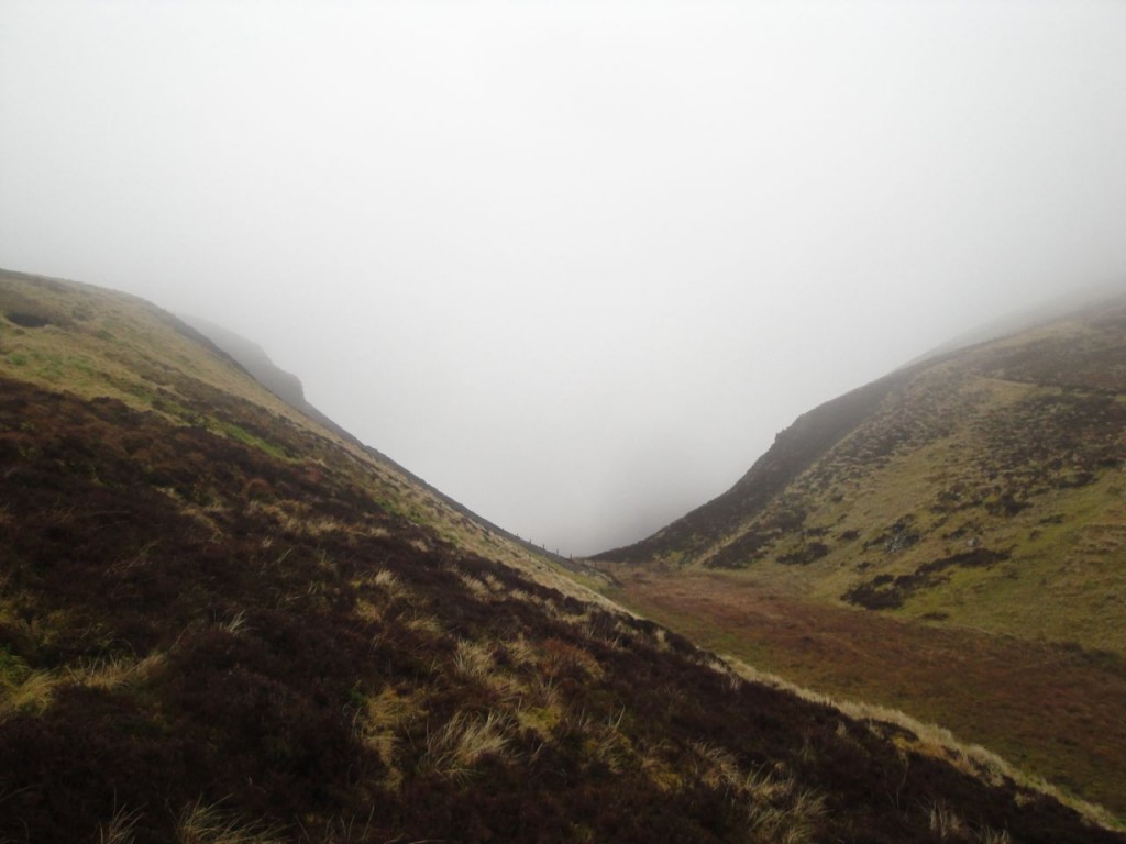
From Windgate Bank the fence drops steeply into Kyegill Slop. Looking down, this steep valley was filled with mist giving it the appearance of an abyss. I decided that descending into an abyss was outside my abilities so walked further along to a less steep, and more visible, section. I crossed the slap near an animal pen then made my way back to the fence which I followed up to Hudderstone.
Kyegill Slop is an interesting name. Gill (Norse) and slap (Scots) both refer to narrow valleys. I presume that Kyegill Slop, Cowgill Glen/Rig and Key Cleuch have the same root, but what does Kye/Cow mean? Kay/Ceo are Gaelic for fog, and having looked down into this mist filled valley I am inclined to believe that I am not the first to have done so.
Hudderstone (Heatherstane Law being its earlier name) does not have an obvious summit so I had the usual wandering about to find a high point but then set off to find the pile of stones marked near the 620m contour on the OS. These hills are short on places to sit for lunch, being made of wet moss and heather. If any erratics were dropped here they have been swallowed by the peat, so piles of stones are a valuable find for a sit-down lunch.
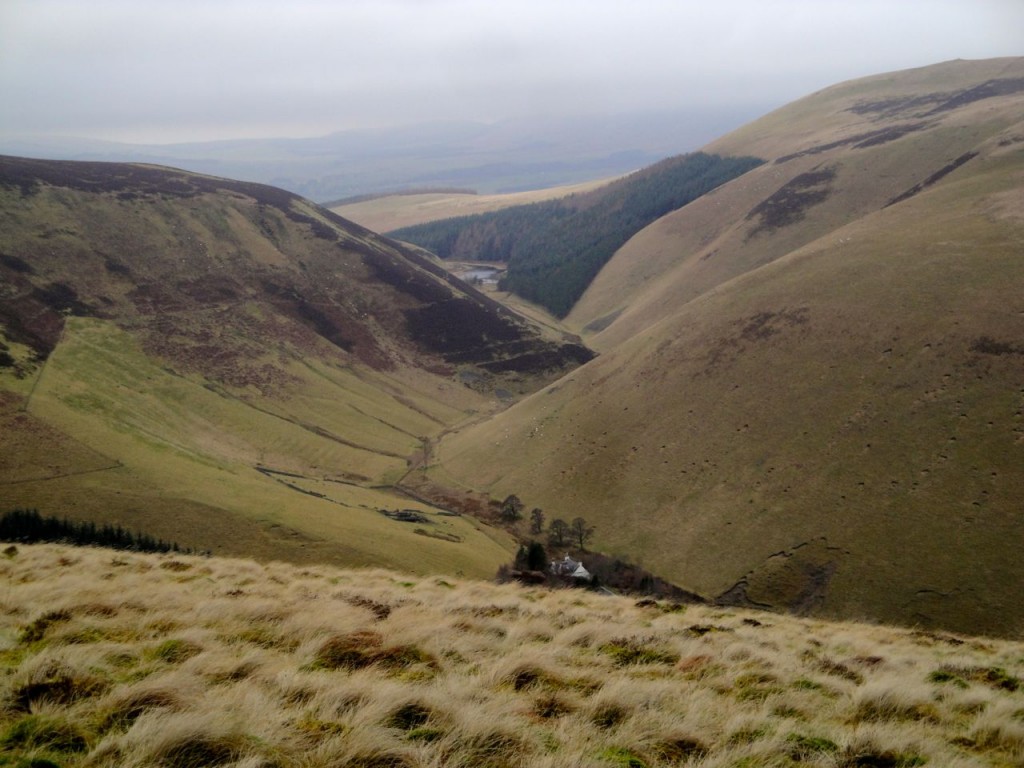
There is a track down Cowgill Rig, at first faint, but eventually joining a constructed path at a gate around 480m. From this path there are views of Cowgill Reservoir, Woodycleuch Dod and Key Cleuch with Cowgill Loch. Ahead was Lamington Hill. After some consideration I decided not to include it in the day’s walk so headed off Cowgill Rig down the western side of a plantation of pines.
The easiest going was close to the trees but beware, there are a great many fence wires lying about to trip the unwary. The upper slopes are heather and the lower slopes tussock grass. At the bottom is the single track road serving Cowgill Reservoir. Cow Gill runs in an unusually shaped flattened valley floor that was presumably once a glacial meltwater channel.
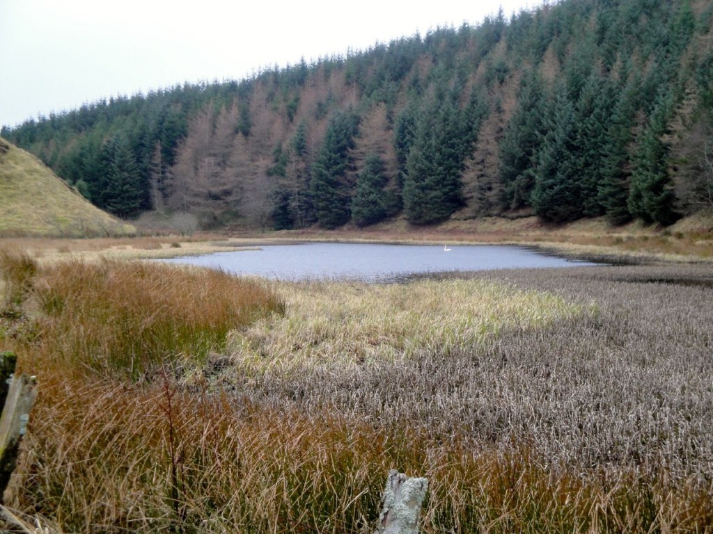
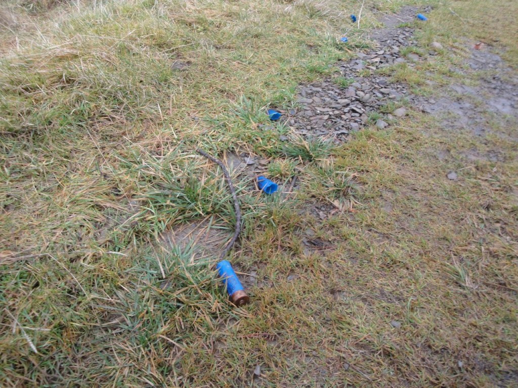
I then followed the path along Key Cleuch, past Cowgill Loch and back to the track to Baitlaws, a nice gentle end to the walk, though the spent shotgun cartridges along the way were a little disquieting.
[osmap gpx=”http://www.screel.co.uk/walks/wp-content/uploads/2013/01/RK_gpx-_2013-01-05_0904.gpx”]

