11 miles 5h 58min 881m ascent; max elevation 637m Croft Head
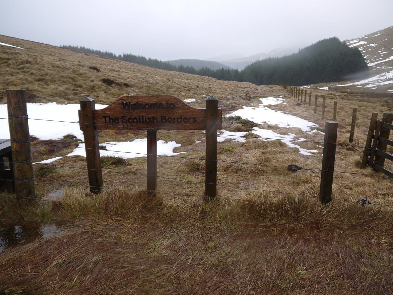
This section took us from D&G into the Borders and over the watershed from rivers flowing to the Irish Sea to those heading for the North Sea. We chose to take the high level route and our total climb of 881m is a record for our SUW days so far. It had been raining all week but we were forecast a dry spell in morning which proved to be correct, and luckily the “feels like” temperature of -9 degrees was wrong. I had expected a little snow on the tops but the snow in Ettrick Forest came as a complete surprise.
We have now completed the SUW in D&G/Lanarkshire which according to the guidebooks is 127.8 miles, though my GPS has logged us walking 139.5 miles (plus 2.6 in the Borders).
Beattock to Potburn was an eleven mile walk but a forty mile drive so this section involved several hours of driving to put a car at each end. It would have been possible to walk from Potburn to the A708 over the Bodesbeck path, reducing the drive considerably, and on a nice summer’s day that would have been a good option. As it is I’m pleased we opted for the longer-drive-1.5-hours-less-walk option.
Despite the dry forecast, the heavens had opened as we drove to Beattock, the rain just easing off as we arrived. So we stood by the car at Beattock, faces raised to the grey skies, trying to discern what the weather had in store. I decided to leave my waterproof trousers in the rucksack despite Audrey asking “are you sure?” and it turned out to be the right choice for the first couple of hours.
Unencumbered by waterproof trousers we hit the SUW once more, passing some unusual pump like structures in a field, then passing under first the A701 and then the M74, with the Evan Water flowing by on our left. At this point we were also on the Annandale Way and passed an AW sign telling us about river. Next we joined a minor road, with several pleasant houses and came to an SUW sign which also had markers for Countryside Walks, the Annandale Way (which parted company with us), and the E2 (long distance route from Galway to Nice). The Annandale Way here follows the route of an old Roman road, though it looks far from straight. I remember that path being guarded by a bull the last time we walked it.
After a mile or so of flat easy strolling we reached a T-junction where the SUW left the road over a stile to head up Oakrigg, just 50m of climb but enough to warm us up. Oakrigg raised us enough to get good views back to the Crooked Road (which looked crooked), Queensberry and Moffat while climbing and the Moffat Valley with Bodesbeck Law just nudging the clouds, on its far side.
Moffat Valley
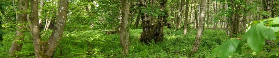
Back on the minor road after Oakrigg we crossed Moffat Water at Drumcrieff Bridge then climbed another stile over a wall to enter a beech wood. Drumcrieff House, a stately home sized mansion was just across Moffat Water and I wonder if this wood is, or was, part of its grounds. There were both mature trees and saplings here and in a few years the wood will be much denser. It would be nice to see the wood in spring time. There were plenty of snow drops back up the road but the trees weren’t stirring as yet. Signs as we entered and left the wood warned us that we there at our own risk.
A footbridge over a small burn (and the warning sign) marked the end of the wood and we then found ourselves walking along the banks of Moffat water, through a field with a variety of horse jumps but no horses. One jump was just a low hanging branch of an old tree, painted white with flags at each end, another for some reason had a milk churn on it.
After the jumps we had another ladder stile over a wall, crossed a minor road and joined a farm track the began a gentle climb. I was looking out for the ruins of Cornal Tower, which is on the OS map, but didn’t see them. I wondered if a wee mound some cows were congregating on might be it, but looking at the map again I think it would have been on the far side of the field.
At a cattle grid an SUW marker indicated we should turn right, so right we turned to climb a little more steely but still on a farm track. This track had a substantial gate, open with a padlock attached, but since there was no fence anyone could have driven around it even if it was locked. Nearby, halfway up the road and nowhere near a junction of any kind was a Stop sign, concreted into the path. I stopped, to take a picture.
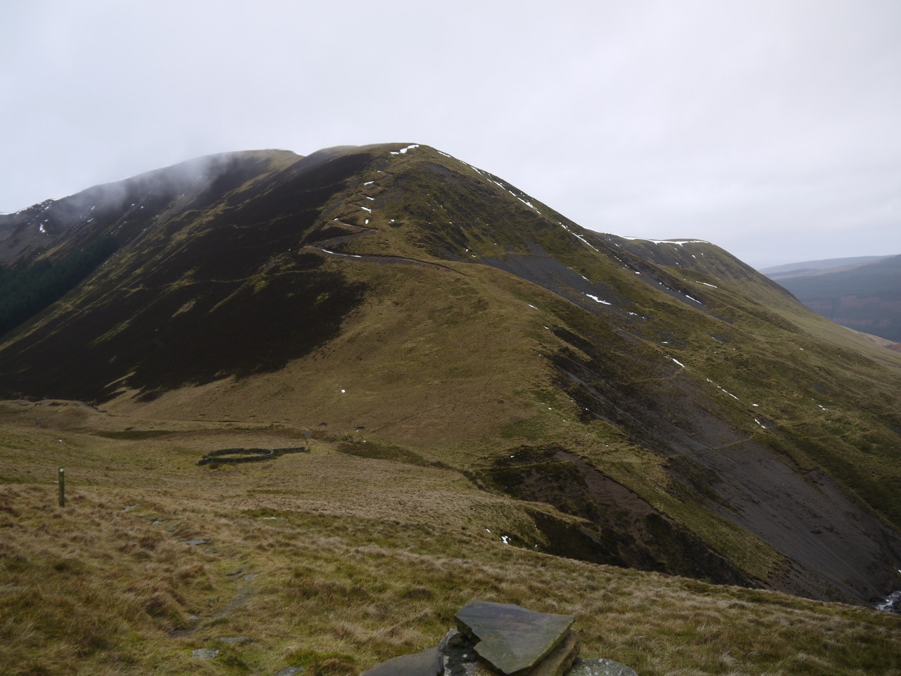
At the top of the field the track takes a turn to the left for about 200m before turning back at a cowshed. The cows here, muddy to their knees just watched calmly as we passed, never breaking the rhythm of their chewing. The track here climbs more gently and we had our first glimpse ahead of Saddle Yoke, its twin summits just hidden in the cloud and looking back, Annandale and the Queensberry Hills.
Moffat Hills
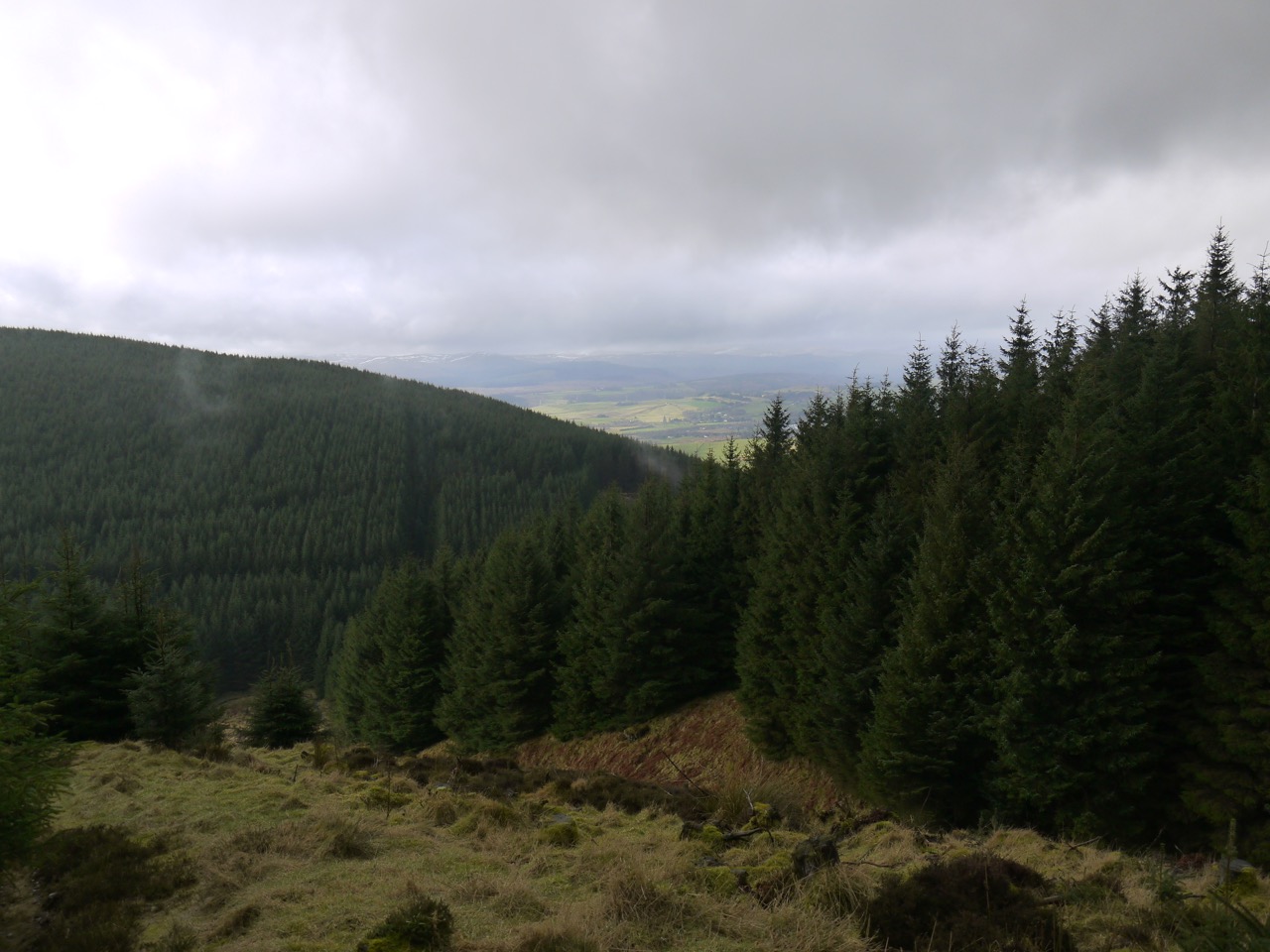
We then left farmland and passed into stands of trees with orange tips to their branches which are I presume signs of new growth. A robin sat in one of the trees by the road but flew off before I could point the camera. A cattle grid and gate, the latter hanging of its supports, marks where the high level and low level SUW routes part ways. I had intended taking the high level route but a sign here told us that the Cornal Burn stretch of the high level route was closed due to an extensive area of fallen trees. The sign did also tell us that the rest of the high level rote was open so we decided to join it further along. This meant staying on the south bank of the Cornal Burn until the next bridge then walking back along the other side to rejoin the high level route at Dry Gutter, just an extra 0.5km.
The lazy part of me did worry as we climbed higher and higher above the Cornal Burn that we would soon need to climb back down to cross it, and climb back up the other side. I wondered if there might be a high bridge, like those one sees in films of the Andes or Himalayas spanning a deep gorge, but I thought if such a bridge existed in D&G it would be well known. All I could hope for was that the burn had a steep fall somewhere.
Elevenses were by now overdue and we came upon a tree trunk by the path that offered a comfortable seat. I decided to have half a chocolate bar but before I knew it I’d scoffed the whole thing, but I did feel better for it.
Once we got going again we were soon out of the trees and instead of a steep descent to cross the Cornal Burn, we found ourselves almost level, with just one wee contour line of descent and climb. We then headed back up the path on the side of the Burn, looking out for the steep path up Dry Gutter. Satellite images show the path at the edge of the forest but new plantings mean there are trees either side. The path turned out to be up the first firebreak, but I don’t think we would have been certain had there not been a marker post there. There was an identical path closed sign here, presumably for people coming the other direction.
Our relatively dry day ended here. Rain began to fall, light enough at first that we donned our waterproofs with some uncertainty, but soon becoming much heavier. Dry Gutter is a steep climb of about 130m but there is a firm path which zig-zags up and as height is gained there are increasingly better views back over Annandale, which are an excuse to stop (and catch your breath).
Dry Gutter
Dry Gutter took us up to a little used vehicle track where we passed our first patches of snow. The trees by the path looked to have been burned and many had fallen, some across the track. THe SUW leaves the track at tree line, a short steep climb helped by wooden steps that were obviously designed for the taller gentleman. Good practice for getting your foot up into a horse’s stirrup.
This SUW then climbs alongside the last trees of the forest over heather and grass with boggy sections before leaving the trees for the upland moorland of Gateshaw Rig. A cairn stood on a knoll to our left but I don’t know what it signified, the actual summit of Gateshaw Rig perhaps.
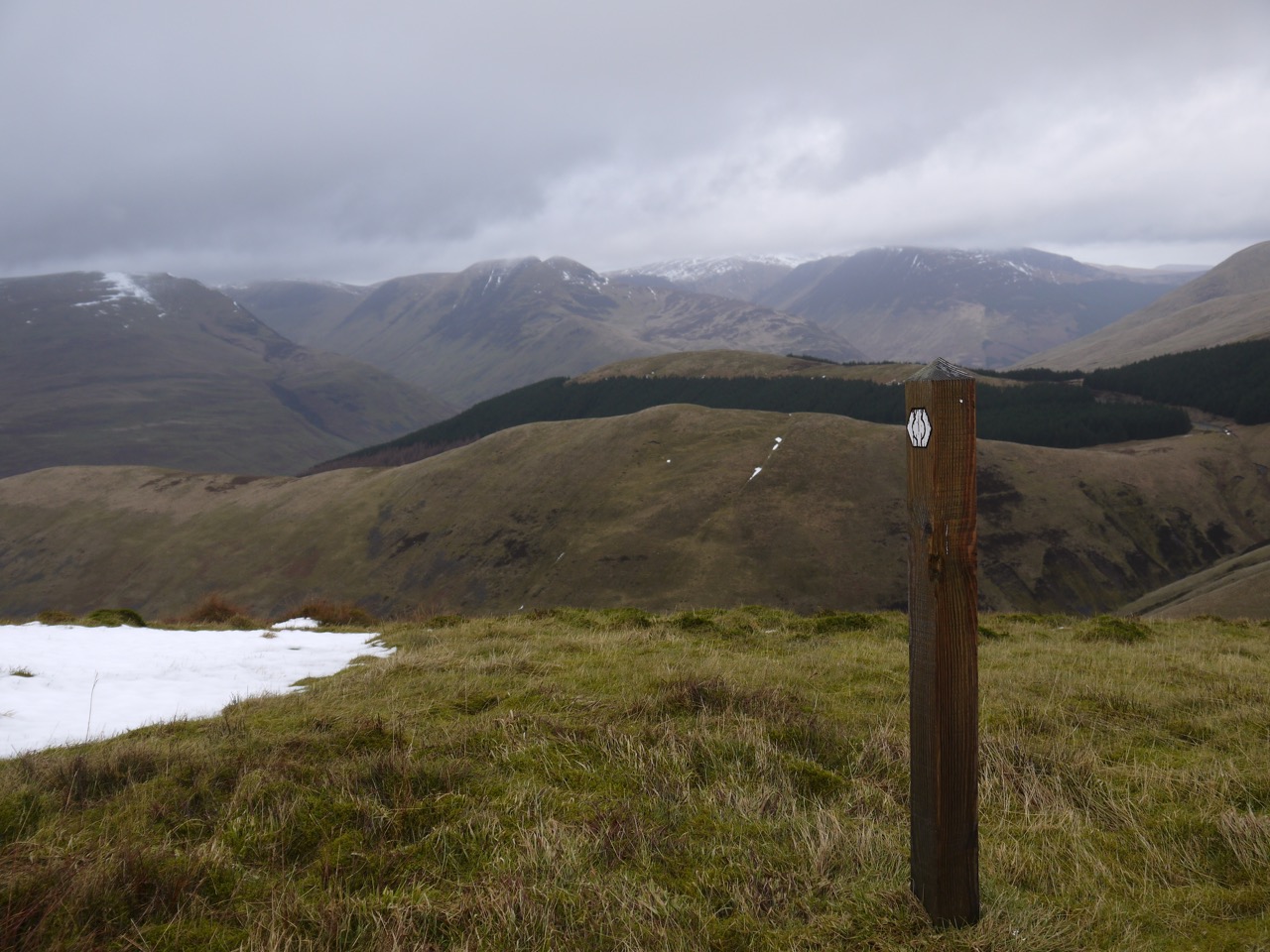
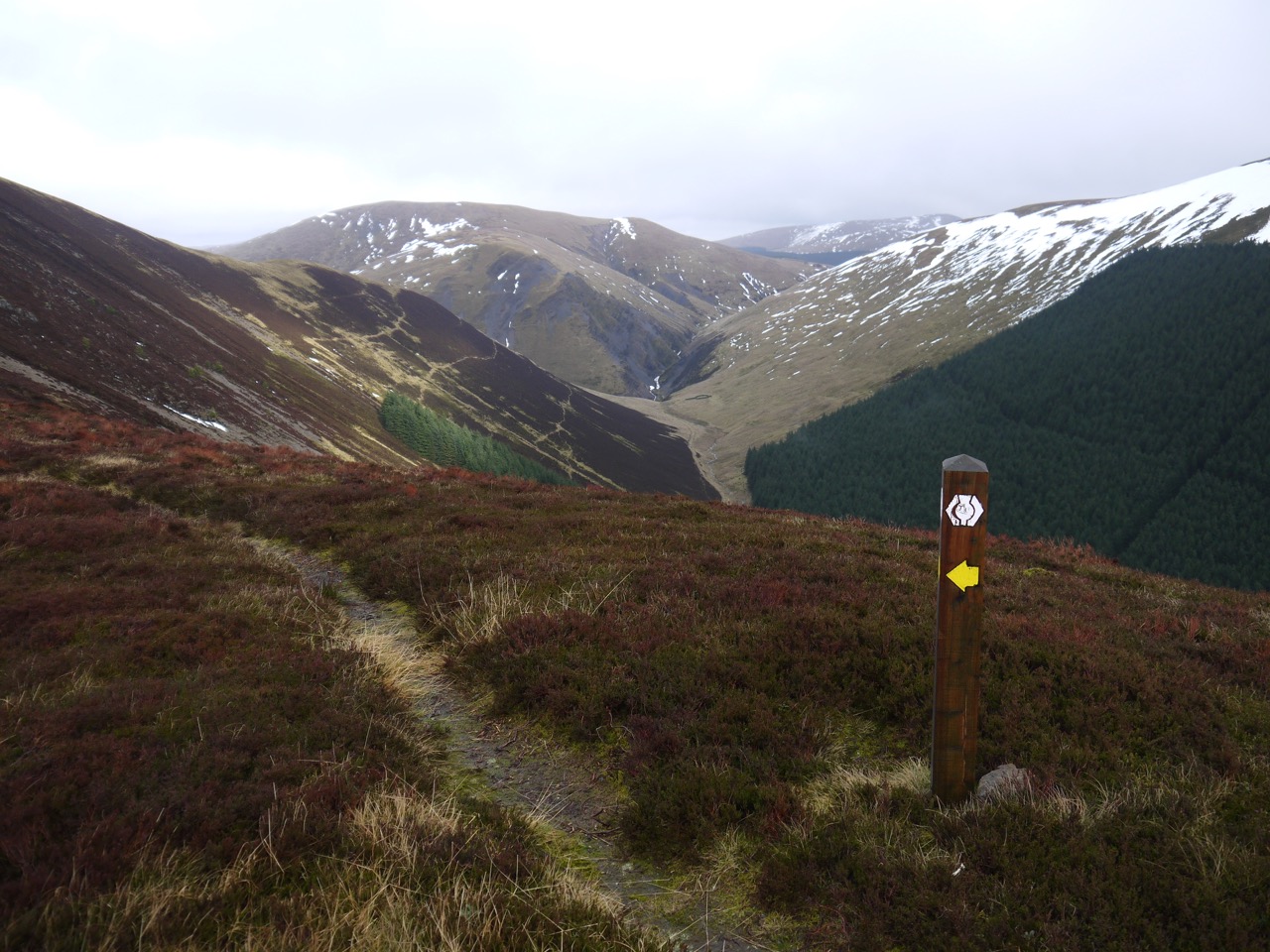
On the open heather of Gateshaw Rig most of our climb was done, the gradient became easier and the views more extensive. The wind blew us about a little but that just added to the experience. The rain even eased off for us. There was a slow climb over Gateshaw Rig until we could see Croft Head rising just 40m above the col. The final walk along the ridge to Croft Head had us walking a narrow path with the steep drop of Crookedside Sclenders to our right and the wind from the left. Capel Fell, West Knowe and the gorge below Craigmichen Scar gave us an impressive view ahead while the Moffat hills with the characteristic twin peaks of Saddle Yoke were clear of the clouds to our left.
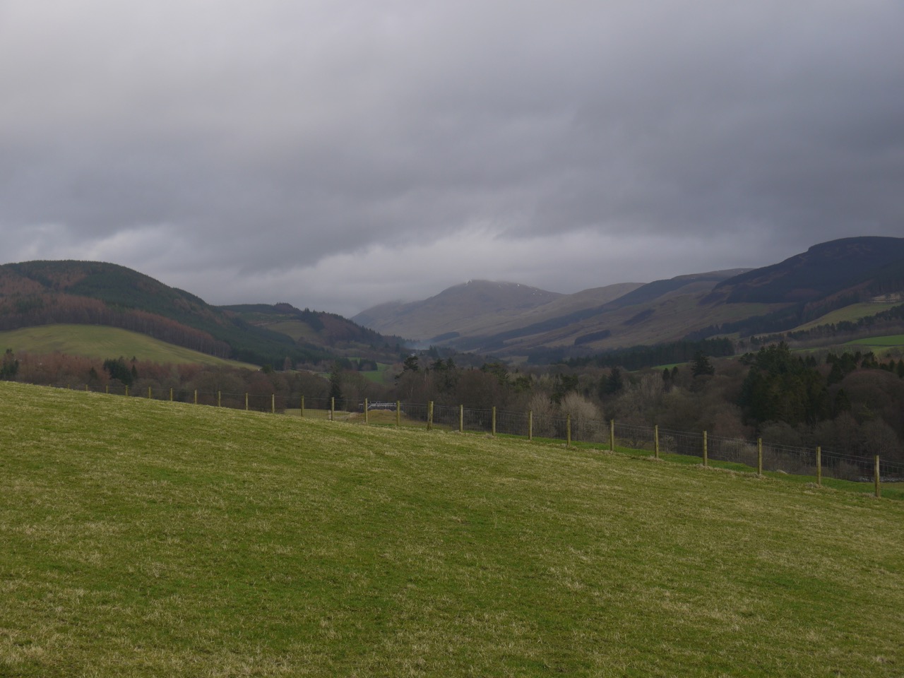
Wamphray Glen
Since this is the SUW, Croft Heads summit fence has a kissing gate. A strengthening bar in the gate offered a possibility of a seat but only big enough for one person. We stayed at the summit just long enough for some photos, but the rain was back again so we pressed on, lunch now a little overdue.
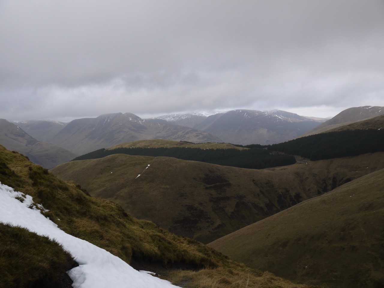
Moffat hills from Cat Shoulder
There is a gentle descent to Cat Shoulder then a very steep drop to the valley floor, but a zig-zag path makes things easier and safer. We did have to negotiate some patches of snow on the path but nothing too difficult. The Ettrick Hills and Moffat Hills were still impressive from here, so we took our time and enjoyed the views.
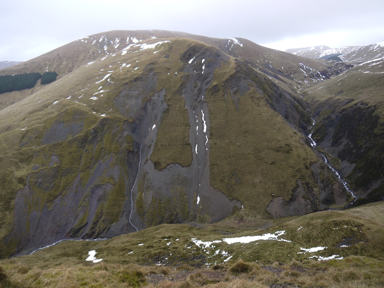
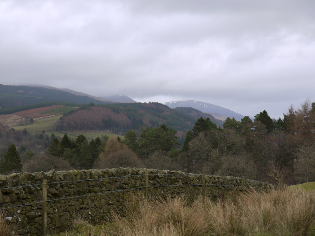
Craigmichen Scar
Once in the valley floor we took shelter in a sheep fold where we both managed to find stones that protruded from the wall enough to act as seats, though misericord might be a more accurate description. It was raining but not enough to spoil my lunch.
Croft Head
A nearby sign, explaining the high level and low level routes, which merge here, told us we were only 1km from Ettrick head. Audrey asked how far we had to walk and my guess of 3.5 miles was pretty accurate (the GPS recorded it at 3.54 miles). It did seem further though.
Selcoth Burn
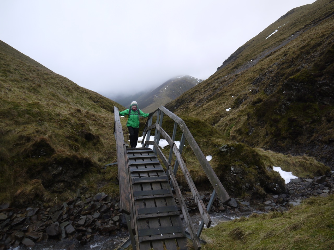
From the sheep fold we headed up to a small cairn and SUW post and along a narrow path along the gorge across from the rugged Craigmichen Scar. The path was steep in places and the rocks both slippery and easily dislodged so we didn’t exactly skip along like mountain goats. We crossed the Selcoth Burn at a wooden footbridge. this had slats across the walkway which were very useful the steeper sections up and off the bridge being very slippery. This was our last crossing of a waterway flowing to the Irish Sea.
We found the secret horde and its strange marker, a stone goat perhaps, and took a coin each from the collection.
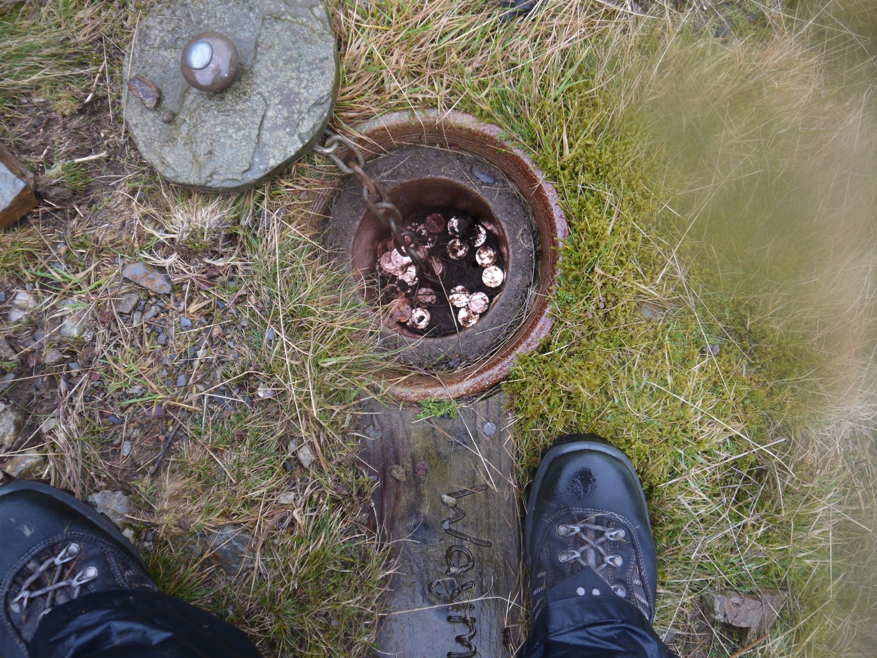
Kist
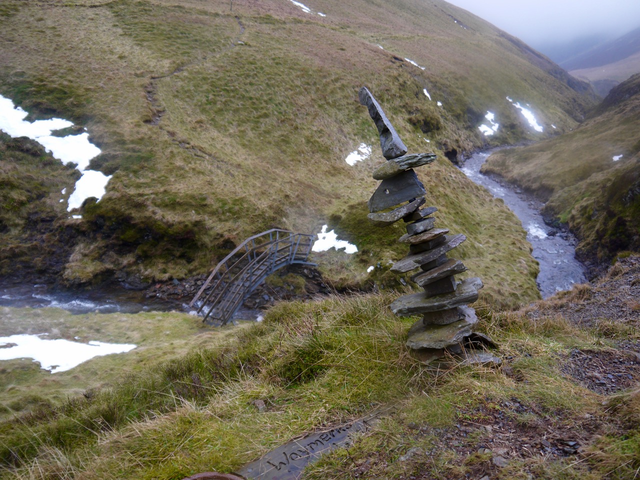
Strange cairn. kist
The section of the walk between the bridge and Ettrick Head was quite a surprise to me. I had walked along it, albeit in the opposite direction, two years earlier (almost to the day) but did not recognise it at all. The SUW slowly climbs up the lower slopes of Capel Fell, following a very narrow track with plenty of marker posts. We had some minor difficulties crossing a small snow filled gully here and after that there were more patches of snow to cross.
County Border
Eventually we climbed out onto Ettrick Head, walking across grass that lay just under water looking more like seaweed than grass. I had thought we would have photos and celebrations as we crossed the county line and completed the D&G section but we reached there in very heavy rain and wind so group photos and celebrations weren’t on the cards. I did try to elicit a celebratory response by pointing out that we had completed the D&G section but the response I got would not have been out of place if I had told her that there were some trees up ahead.
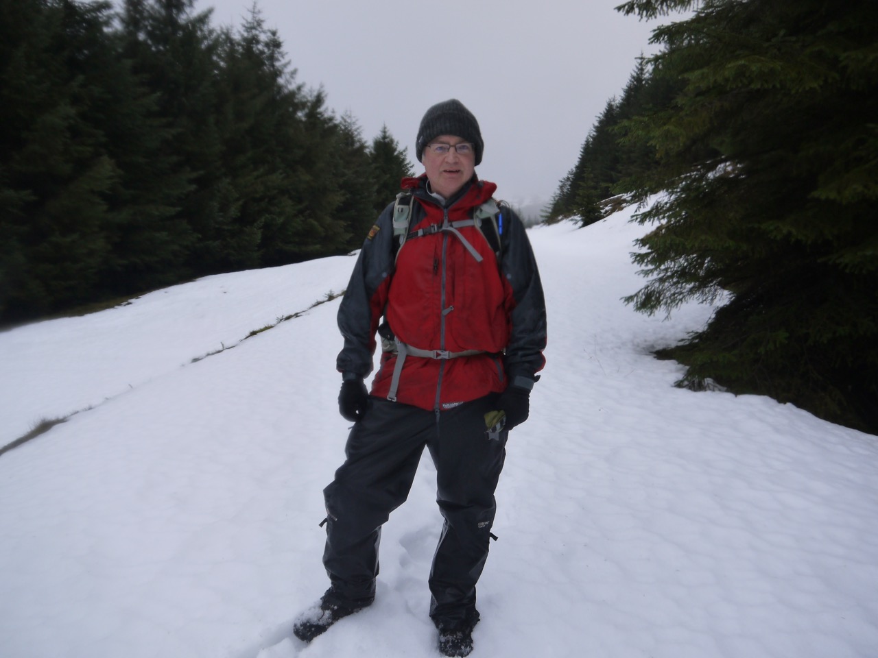
Once in those trees we were relatively sheltered but there was quite a bit of snow. it was mid-shin deep, but mostly beside rather than on the path, the water running down the path had presumably washed the snow away. We soon reached the end of the forest break crossed a tributary of Ettrick Water (our first crossing of a North sea bound waterway) and joined a forestry track. I had thought we would then have an easy walk along a good track all the way back to the car but what stood before us was unexpected to say the least.
The track was covered in snow, which in places was knee deep. Someone had walked along before us so at least we had some footprints to step into and could avoid those that had water at the bottom. The footprints were of differing sizes, though obviously made by the same walker, with some about twice the size of others. I can understand why people might believe in Yetis if snow prints change like this. We passed a small snowman in the middle of the track.
Ettrick Forest
Walking through snow was tiring and I knew we had made the right decision in leaving the car near Potburn. The snow not clear until we left the forest. When we did emerge from the forest to see the Ettrick valley for the first time we found a stile at the side of the road leading to a drop over an eroded bank and then we were faced with a tall kissing gate in a deer fence. I haven’t seen a gate like this before, it looked like a prop from a film about giants.
The forestry track took us down to Over Phawhope with its bothy and bridges, but we didn’t stop at the bothy. We crossed Ettrick Water by the footbridge rather than the ford beside it then, joined a newly resurfaced road that climbed steadily past the deserted buildings at Potburn. On the way we passed a small wooden cart that wouldn’t have looked out of place in the pages of the Beano being ridden by Dennis the Menace.
Eventually all that stood between us and the car was a gate. I don’t know if the snow had sapped our strength but we couldn’t open the pedestrian gate. Luckily the main gate let us through.
Quite a walk.
[sgpx gpx=”http://www.screel.co.uk/walks/wp-content/uploads/2014/02/RK_gpx-_2014-02-22_1002.gpx”]
