
3.7 miles 1h 38m ascent 165m (Barrs Hill 218m)
Barrs Hill is one of the many “twice named” hills. Barr generally means the summit of a hill, but in SW Scotland tends just to mean “hill”, so it is Hills hill.
This was a walk with DW to explore the Roman Fort on Barrs Hill. We took a straightforward route from near Lanegate along minor roads to Barshill Farm, then up on to the hill following the line of trees. Our route crossed what remains of the Dumfries, Lochmaben and Lockerbie railway line which would be easy to miss were it not for the bridge we crossed.
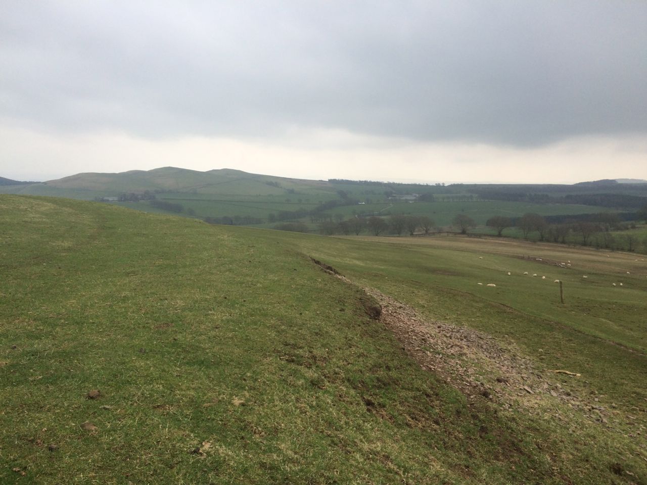
The fort when we reached it was quite a bit more imposing than I had expected from google satellite views. I had thought we would be wandering about looking for slight irregularities in the ground marking its position, but the ramparts are still much taller than a man on the southern side.
I hadn’t taken along a camera so all I have is a picture taken with my phone, looking towards Hightown Hill. i am stood at the top of the rampart but the image doesn’t do it justice.
 A report from 1920 describes a hedge crossing the site, but this is now a line of tall mature trees. The report can be found here, with pages 198-199 being those related to this fort.
Unfortunately I haven’t been able to find any information about the history of the fort.
