
12 miles 5h 33m ascent 414m
 Route: SUW Abbey St Bathans to Cockburnspath, plus Cove Harbour
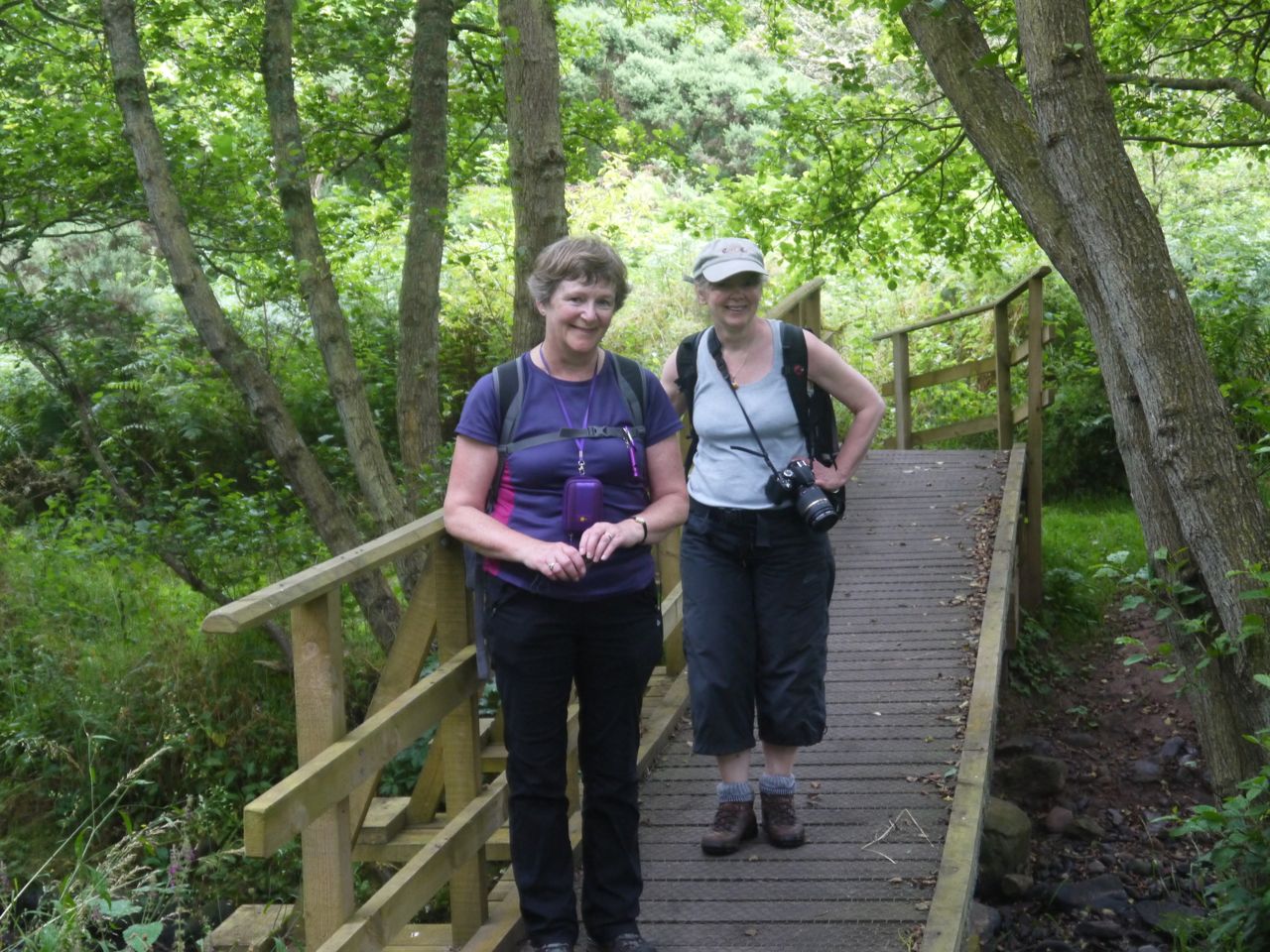
This was the final leg of our Southern Upland Way trek and the weather forecast was for heavy rain all day, the TV news was warning of bad weather, the met office had issued an amber warning and our drove took us past several signs warning of the heavy rain. But we’ve seen it all before and came prepared with waterproofs and spare clothing.
We set off from the car park at the Riverside Restaurant in Abbey St Bathans, across the Whiteadder ford, having paused to watch some ducks (and a curlew) and rejoined the SUW by the rusty ostrich. The rain seemed to have stopped and it was pretty muggy so the waterproofs stayed in our bags.
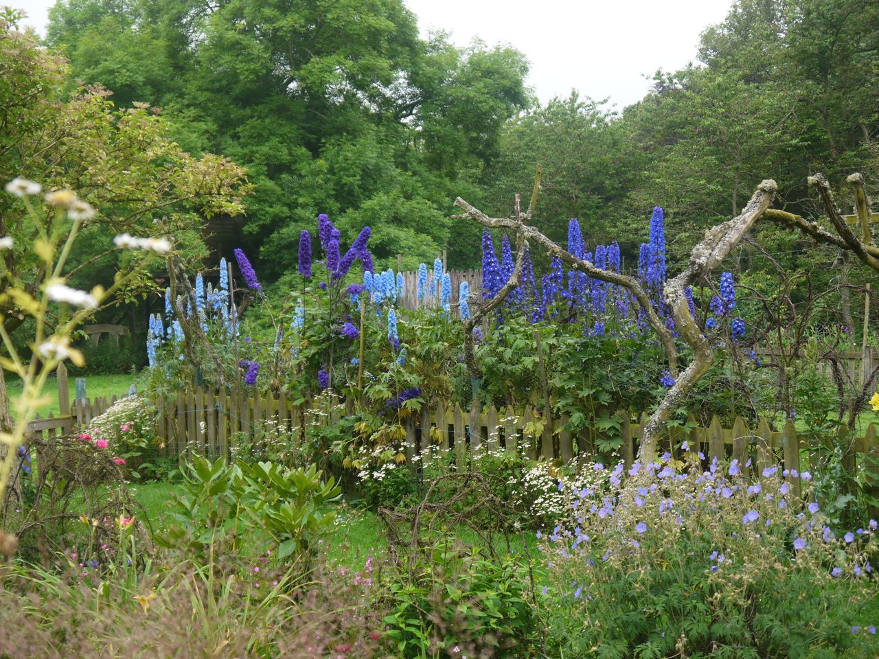 The first section of this walk is in a valley carrying the Whare Burn. There is a grassy track which passes some cottages with a wide selection of flowers then skirts woodland beside the burn. The Burn itself was covered with small white flowers growing from a plant growing in the water, there were plenty of insects, both the annoying kind and butterflies. Ahead of us we could se birds of prey having a bit of a disagreement.
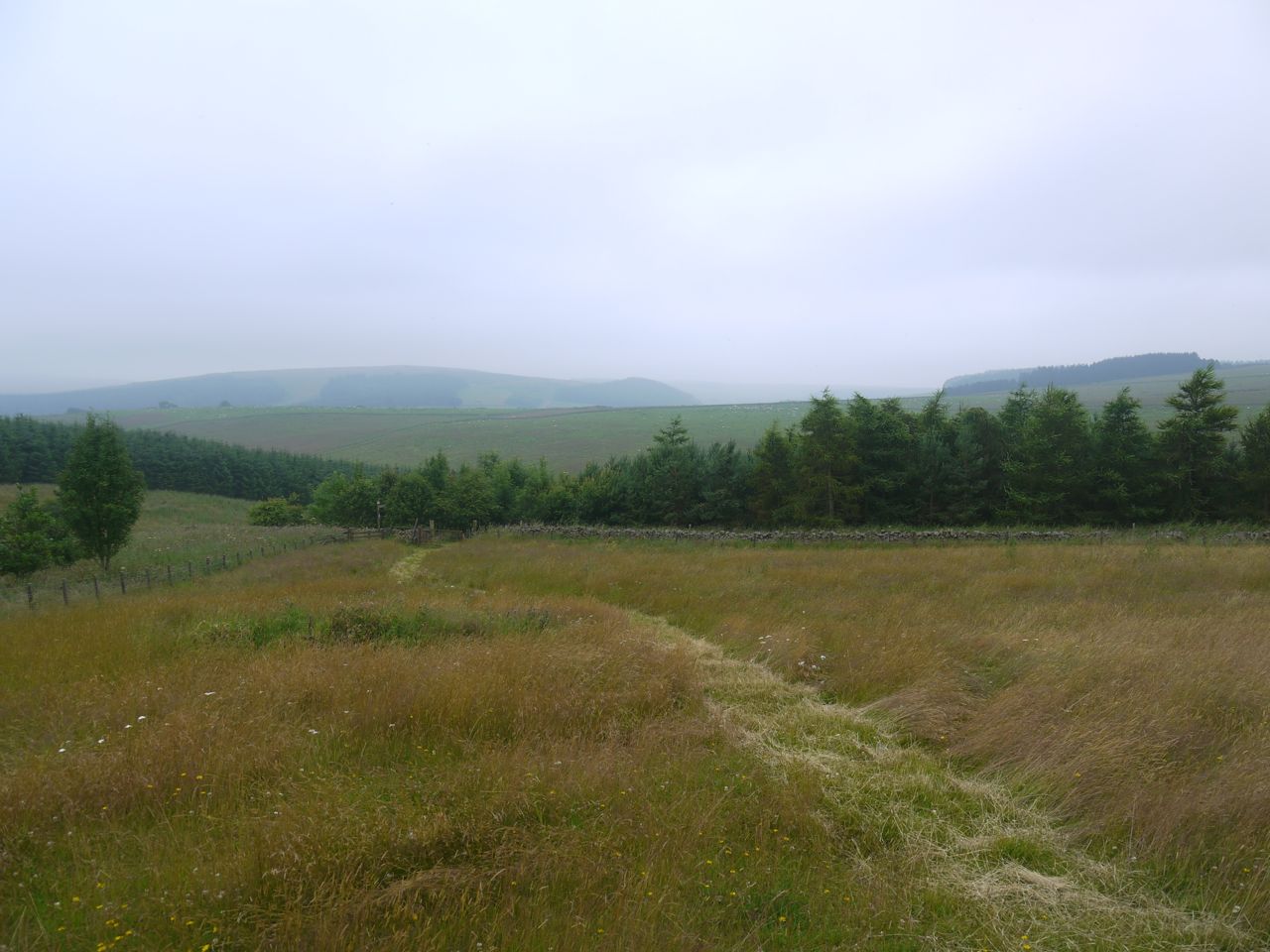
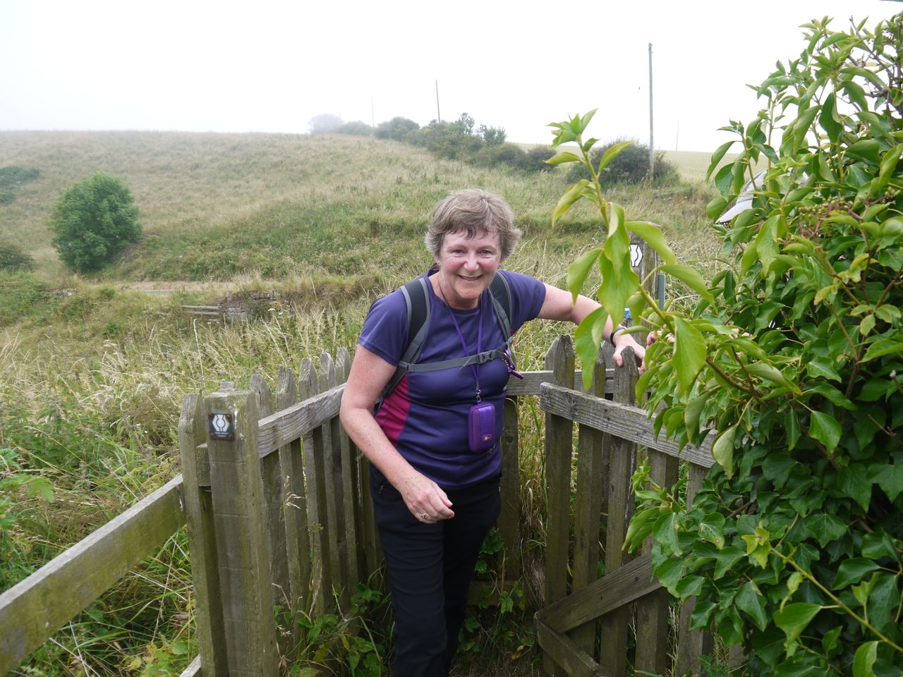
Path to Whiteburn
The SUW then left the track and climbed up across a field, the way indicated by a mown track. We walked watched by cows and calves up to an impressive cairn with a red weather cock atop. The cairn looked to be leaning slightly and had a fence around it but with a gate. There looked to be a small plinth that could have held an information board but there is nothing now. The cairn was apparently built to celebrate 100 years of tenure of the Whiteburn Farm by the Cockburn family (1848-1948). After this we passed through some trees and reached a minor road and Whiteburn Farm. A large sign here advertised the ultimate drink experience, but we had to leave that for another day.
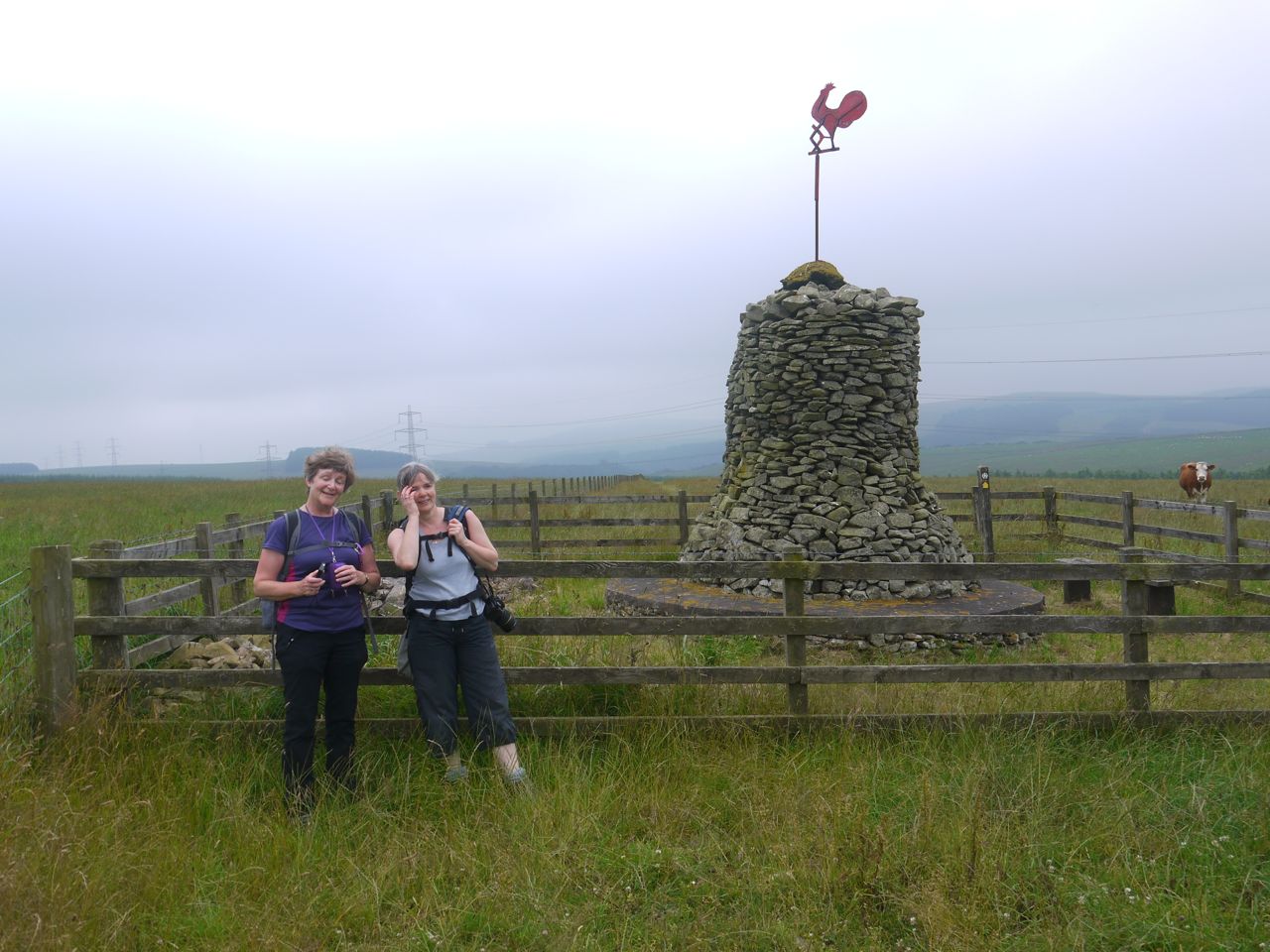
Cairn near Whiteburn
The SUW here takes a detour around the farm rejoining the farm track on the far side of the buildings. A deer watched us then bounded away in the adjacent field. The track soon turned left but we struck out across a field, as advised by the SUW markers, and came to a minor road close to a lay-by. I had intended this to be our first drink stop but I must have been distracted and didn’t notice it.
We turned right after a short walk and followed a farm track down towards Blackburn Mill. On the way we passed a black bull lying by the fence. He had a heart on his shoulder which caught our eye. As we were taking some photos the farmer arrived and told us that they needed two bulls because there were so many cows but this rather forlorn beast was the number two bull and had been having a hard time of it in disputes with the other bull. He had a sore foot so was resting here on his own. The heart is apparently a Rawburn mark.
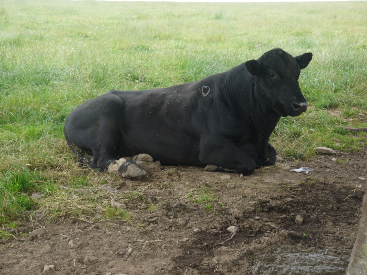
Bull with Heart
At the bottom of the slope we crossed Eye Water and turned right. Another bird of prey was active here. The track turned left but a sign asked SUW walkers to follow a route in a field rather than stay on the road. I did wonder who other than walkers could be following the SUW. Anyway an SUW gate invited us onto the grass. Unfortunately I difficulty squeezing through the gate, which would only open wide enough for the most lithe to pass. with some wriggling I passed the litheness test. Audrey and Gwyneth having watched my contortions, diagnosed the problem and opened the gate the other way. I have reflected on this experience and though they may have gained points for observation and intelligence, I did pass the litheness test that they chose to forego.
The field did not have a definite track other than immediately next to a beech hedge. Audrey thought this had been made by cows rather than people and I’m inclined to agree. You could only use the track by leaning out to avoid the hedge poking into your face. The alternative was very uneven ground. I don’t know why but there were lots of butterflies in the field. We left the field by another gate but this was designed to only open the one way.
A farm track led us to Blackburn Farm that was quite extensive with several Yorkshire boarded buildings. there weren’t any animals about though and I thought it looked like the kind of place one sees in gangster films. I didn’t see any film crews though. On the way out we passed a rusting pump that looked to be a piece of industrial sculpture rather than scrap. A minor road from the farm lead down to the A1, and by now we were looking for a spot to stop for a snack. I don’t like stopping near farms because it feels like having a break in someones garden.
There were no obvious places to sit so we took a break where the drive to Blackburn House left the road. Unfortunately about five minutes after our rest, the rain reached us. At first it was the odd spot but soon increased to the point that waterproof jackets were needed non-waterproof stuff was packed away. So we approached the A! in rain. Across the valley were some very tall trees with little foliage except on top suggesting the woods had been more extensive until recently.
The A1
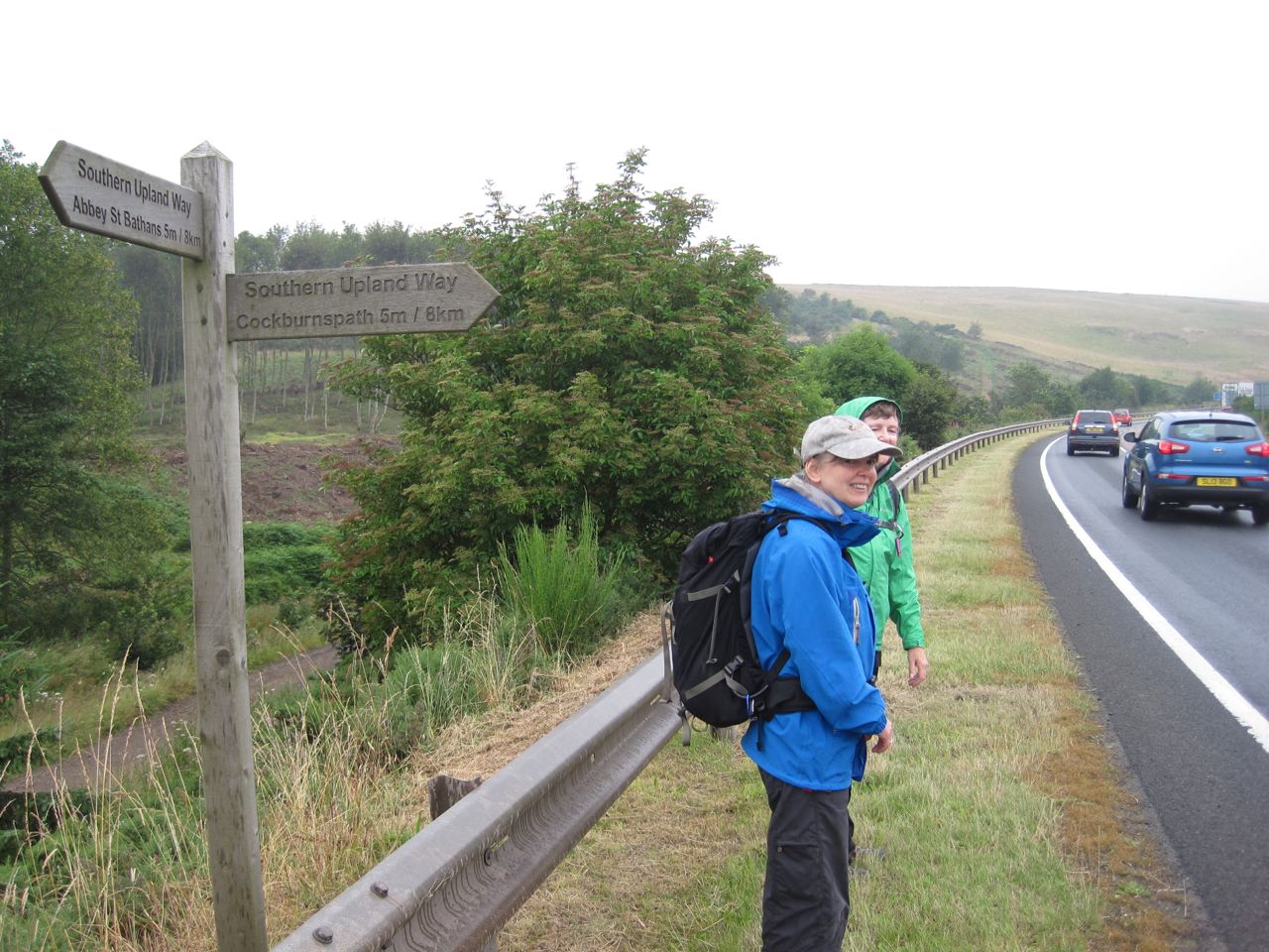
An SUW sign told us were half-way, since both Abbey St Bathans and Cockburnspath were 5 miles. The A1 was busy but we didn’t have to wait too long before a break in traffic allowed us to cross. I don’t think Audrey was paying attention though because she didn’t cross and we had to wait another couple of minutes for her to get another chance.
There is a grassy path cut through the undergrowth on the far side of the A1 which winds along and reaches a tarmac road, the old A1. Its surprising how narrow this road was, and how quickly nature is beginning to overgrow it. The surface was very slippery, in places it was like walking on ice.
The main east coast railway to to our right. We passed a large concrete structure where the Pease Burn passed under the railway. I think this is some sort of siphon to protect the railway if the burn floods. We crossed the railway on a footbridge with signs asking that any vehicle impact with the bridge be reported to the police.
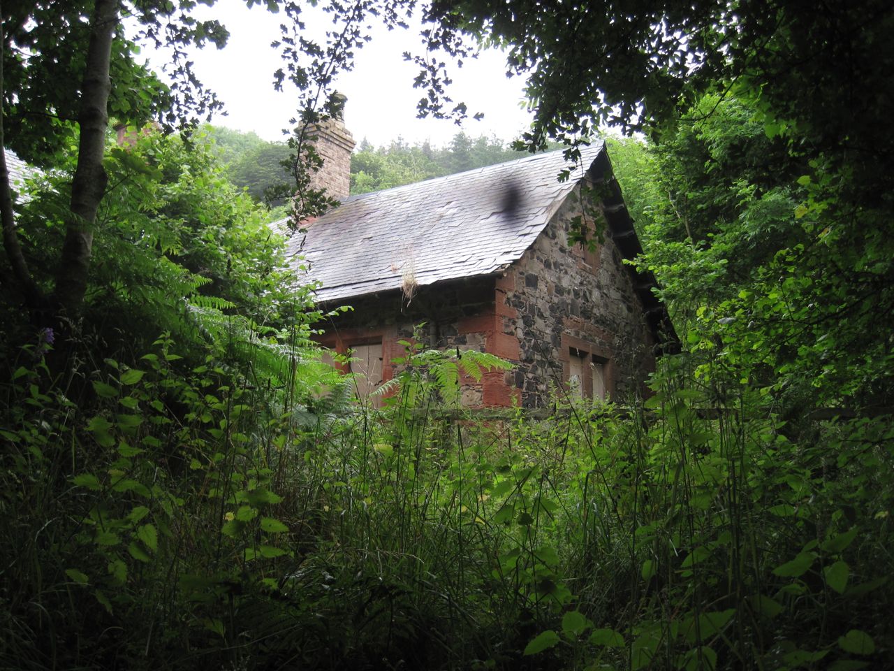
Penmanshiel Cottage
Once over the Railway we were in Penmanshiel Woods. We passed a derelict Penmanshiel Cottage with some unusual pink flowers. My photos didn’t turn out but perhaps G or A will have photos that allow us to identify it.
We were now walking on a woodland tack covered with pine needles and cones. The path gradually climbed and we were soon high above the burn. The OS map route of the SUW is rather confusing here but the route is well signed and much simpler than the OS map would suggest. In addition to the usual sounds of a forest we could hear shooting off to our left. Luckily it didn’t seem to be particularly close. By now our body clocks were recognising lunchtime but there were no handy logs or rocks to sit on. We decided to sit against a small bank that was relatively, dry being under thick branches and were able to dispense with our jackets.
Lunch in relative dryness, sitting down and sheltered from the elements recharged my batteries, though truth be told I was’t particularly in need of re-charging just then. After lunch we set off. Our waterproofs were packed away which was much more comfortable in the warm humid afternoon and when we later emerged from the trees the rain had stopped. About ten minutes after setting off after lunch we came to a bench that would have done nicely for lunch. I presume it was set where it was for the views but visibility was such that the only view was greyness beyond the trees. I imagine the sea would usually be visible from there.
After a gradual descent on the woodland track there was a steep narrow path down to the road at the bridge over Pease Dean. The bridge looked impressive but we didn’t find a good spot to photograph it. We decided to walk not the bridge for a better look at the deep wooded valley of Pease Dean. I hadn’t noticed it but Eagle-eyed Audrey spotted the sea from there, just visible 1km away. So we had to come to within a kilometre of the coast before we could see the sea. I sniffed for the odour of the sea but smelt Italian restaurant smell instead.
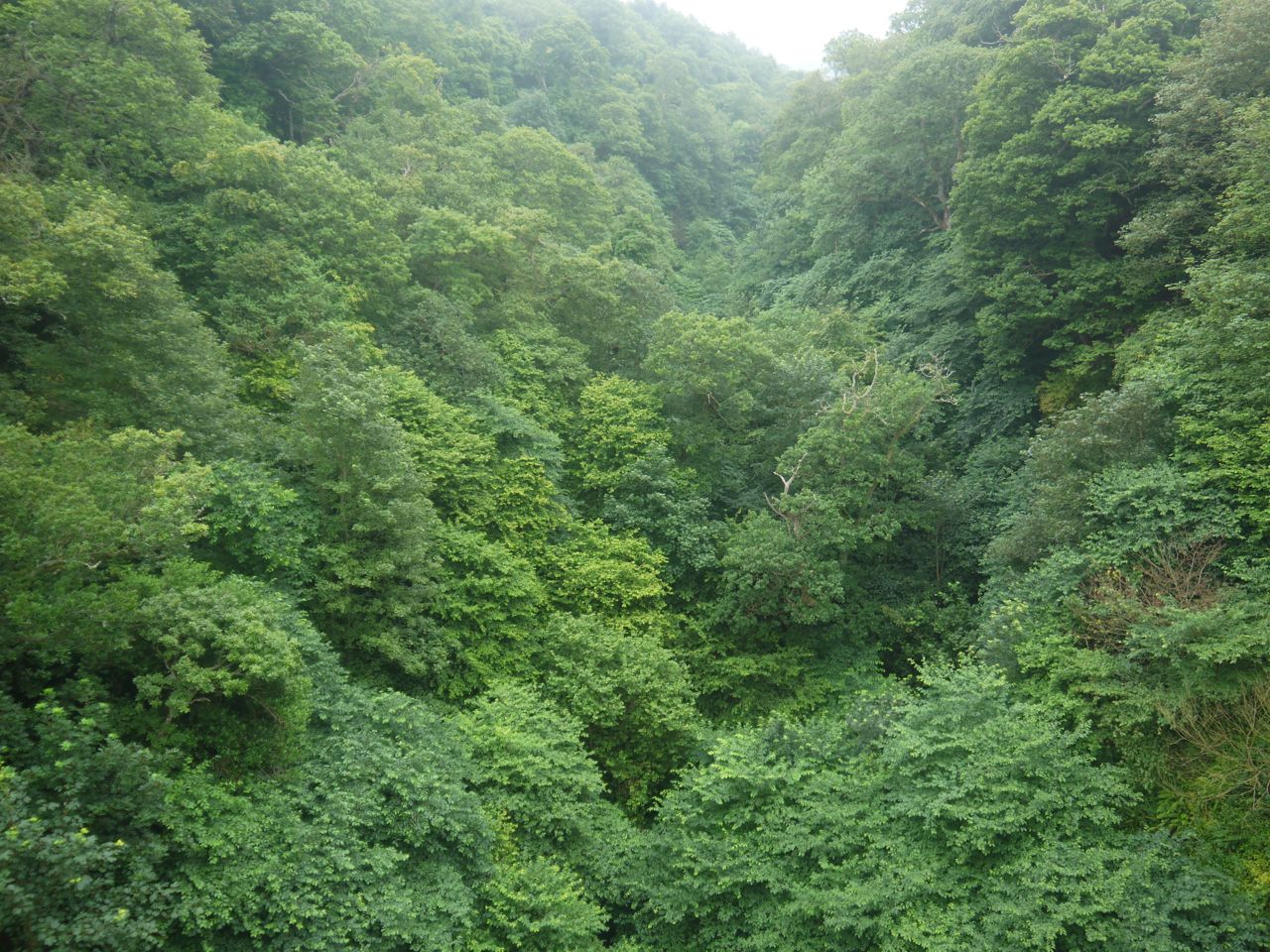
Pease Dean from the bridge
The next leg was through the Pease Dean Nature Reserve. the narrow grassy path here soaked my trousers below the calf. there were several steep descents with wooden steps. though these had chicken-wire on them they were still quite slippery and needed extra care. we crossed Pease Burn on footbridges and came to some newly constructed wooden steps and SUW gates that led us into a builder’s yard. What long distance footpath would be complete without sight of a cement mixer? Outside the builders yard there was a way around it.
Pease Dean Nature Reserve
We were now at a large seaside caravan park but there was a sea mist so the sea only 200m away was only just visible. some of the static mobile homes by the road look to be very nice (and I am sure, expensive) with excellent views on a clear day. The very minor road we now stood on had been the main Edinburgh-London coach route until the Pease Bridge was built in 1784. I certainly wouldn’t have fancied riding a coach on that steep narrow road. We walked up the road to a cottage with large bouncing dogs. Woof-woof- head appears above wall-woof-woof-another head appears briefly. It did look as if they were using a trampoline.
Signs indicated we should leave the road and join a cliff-top path. We were also now on the James Hutton Walk, one of the Borders Brains walks apparently.
Tricky gate
The cliff top walk was straightforward to follow. Most of the time it was on the sea side of the fence but did sometimes cross to the field side where we walked beside a field of barley. There was a kissing gate designed for the slighter walker and there was some smiling as I tried to wriggle through. It was fun to watch the others have the same problem. These gates aren’t designed for people with rucksacks.
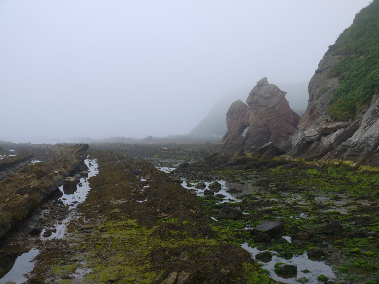
Coast near Cove
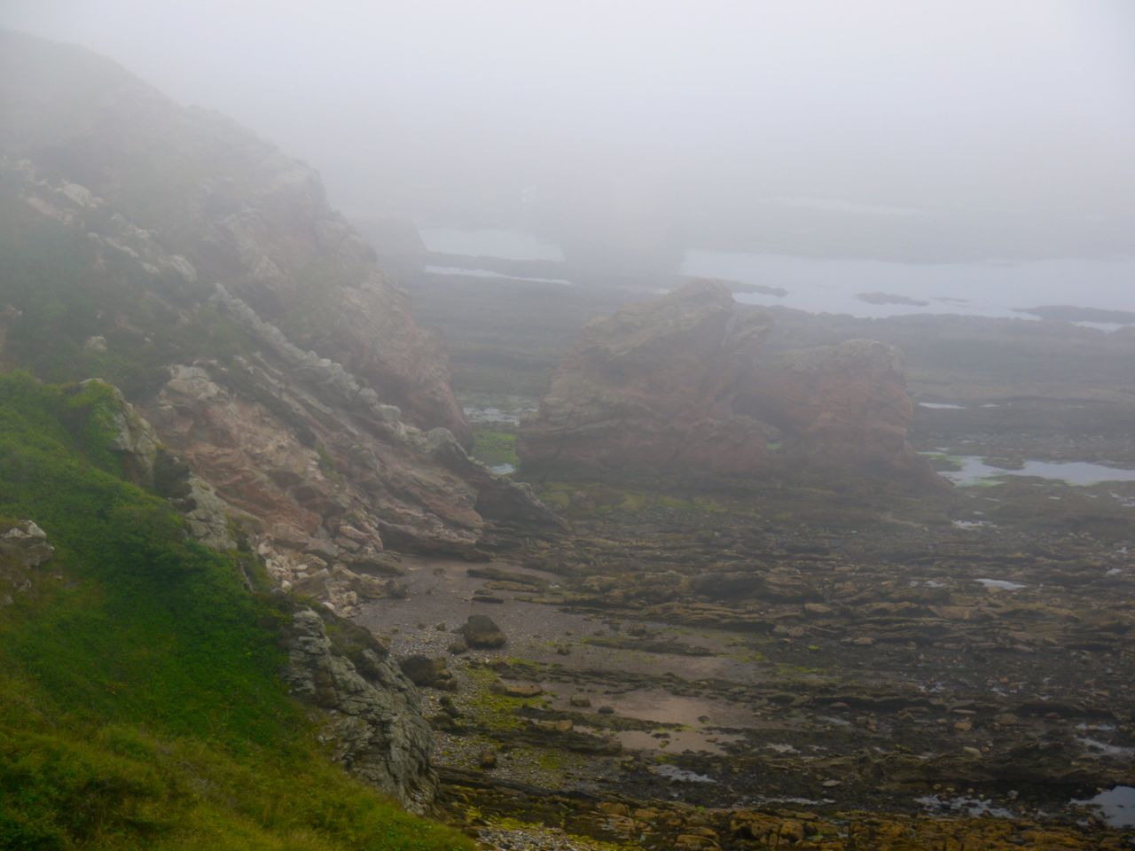
Unfortunately, the sea mist stole the views from us though we could make out some of the rock formations. I gritted my teeth in annoyance when we walked past a sign warning of the dangers of falling off steep cliffs. There were no signs warning that the sea was wet, though.
The cliff top had a few unexplained structures: a white pole with steps like those on a telegraph pole (perhaps and old warning beacon); a pole with two dangling kite like structures (a scarecrow?); and a twisted railway track (some sort of sculpture). We could see Cove Harbour below us and decided that we needed to go down to the sea to have completed the Coast to Coast Walk. So where the SUW turned inland we continued on to the few houses above the harbour. There is a memorial here for those who lost their lives in a fishing disaster in 1881.
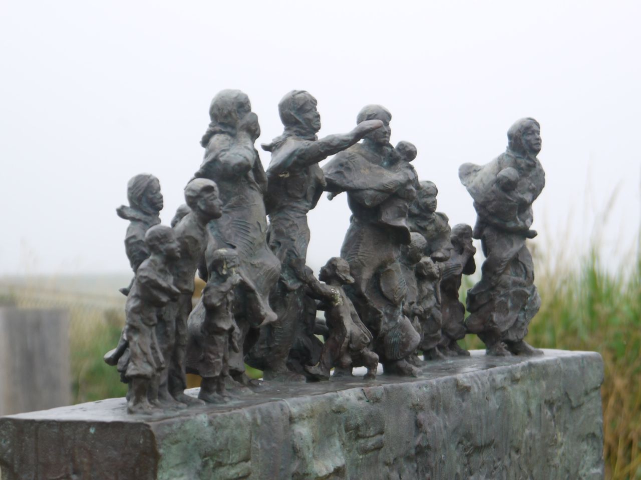
Fishing Disaster Memorial
We then turned down a path leading to the harbour. When the tide is in in would not have been possible to walk from one pier to another and a tunnel has built through the cliffs to allow access. Audrey and I were aware of the tunnel from reading our SUW guidebooks. Gwyneth was unaware and lagging a few paces behind us looking out to sea, so when Audrey and I turned into the tunnel, Gwyneth carried on the path.
So when we got down to the beach and looked around we saw Gwyneth up on the pier. She had though she would need to use a ladder to get down to us but luckily she found the stone steps. Cove harbour is a pretty place even when the surrounding area is shrouded in mist, but I’ll have to admit that my mind was concentrating on reaching the water’s edge to complete the Coast to Coast. As I strode across sea-weed I knew I was at the coast and when I dipped my feet in the North Sea I felt the walk was complete. Audrey did the same and we had a few minutes of exchanging cameras for photos.
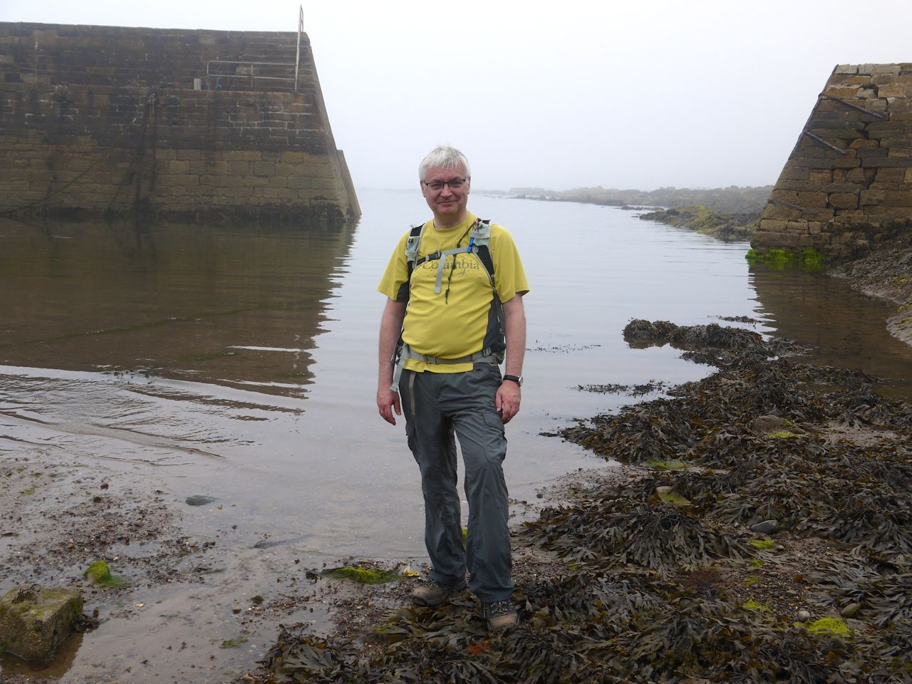
Cove Harbour, the end of the coast to coast
That might have been the “end” of the walk in mind but the official end was still a mile away in Cockburnspath. So we walked back up to the cliff top and rejoined the SUW. A track took us past Cove Farm, under the main railway and the A1. By the Cockburnspath War Memorial is a Southern Upland Way information shelter with a sign reading “Cockburnspath – End of the Southern Upland Way”. So we posed for more end of the walk photos.
End of the SUW
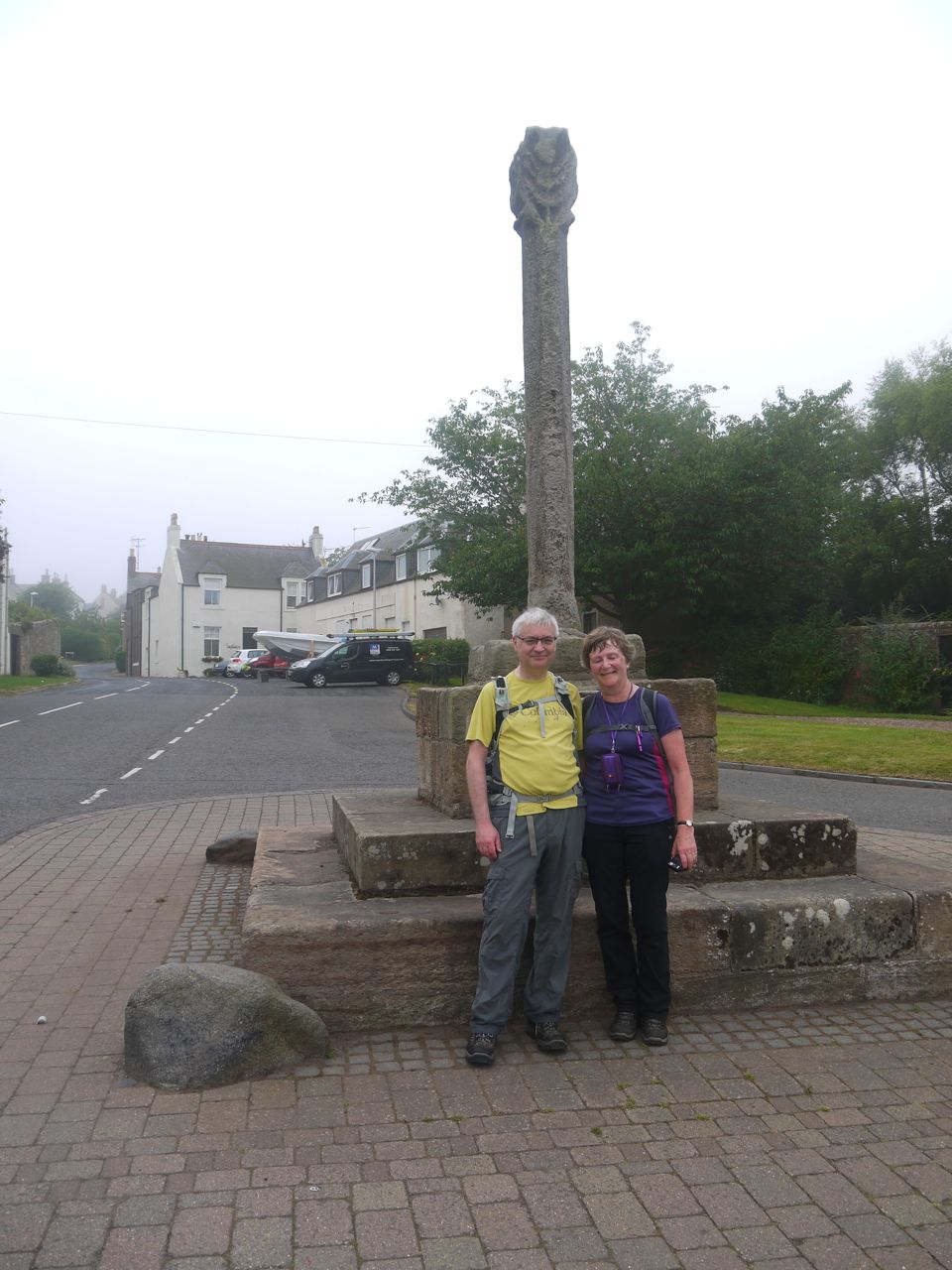
The official end of the SUW though is at the Mercat Cross in Cockburnspath so we walked up (yes, up) the last 150m to the Mercat Cross for more photos.
We celebrated with Ginger Beer and bucket-and-spade cakes courtesy of Audrey.
So that is the SUW completed. It has taken us 19 days. We have walked 230.2 miles with 10,295m of climb (and obviously 10,295m of descent). The official distance is 212 miles and I worked out we walked 6.8 miles off piste so to speak, in walking to the car or visiting places off the SUW, so our SUW walk was 223.4 miles.
The End….except for the alternative sections…
[sgpx gpx=”http://www.screel.co.uk/walks/wp-content/uploads/2014/07/RK_gpx-_2014-07-19_1027.gpx”]
