
13.6 miles 5h 22m ascent 552m
 Route: SUW Lauder to Watch Water Reservoir, highest point Twin Law 447m
It was three and a quarter hours of driving to get to the start, having left a car at Watch Water. From Lauder at the car park with an SUW information board we set off in beautiful sunshine, with sunscreen applied. Just before the church an SUW sign took us along a lane past a small cottage, a plaque informing us it was once Lord Lauderdale’s school, and a house with an extensive collection of garden gnomes.
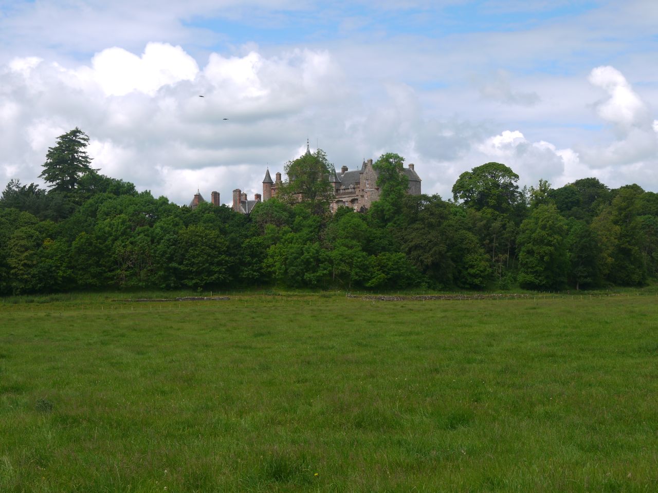
At the A68 we had a glimpse of Thirlestane Castle, but despite all the signs along the road encouraging us to visit the castle, once inside the grounds it was a different story. The signs there said it was closed. But what the grounds of Thirlestane really lack are signs pointing out the route of the SUW.
Thirlestane
We continued along an estate road and across a footbridge over Leader Water. Some nearby plinths suggested that there had once been a more substantial bridge here. We crossed a strange cattle grid that looked like a cross between a normal cattle grid and a stile and walked across a field watched by sheep and cattle. There was no obvious track or indication of our route but I thought I could see a marker post in the middle of an adjacent field. One of the cattle grid/stile contraptions got us into the field.
Once at the post we found it was not an SUW marker but just a post in the middle of a field. Why? So we headed across towards some trees and noticed a path on the far side of the fence. I decided to climb the fence and get back on what I presumed was the right path. I realised it was an electrified fence when while straddling it I got an unpleasant jolt on the inside of my left thigh and heard my teeth clack together. The last time I got a shock from an electric fence it had been rather a mild sensation like touching a thorn. This was an entirely different level of jolt. I have climbed electric fences before but always thought little of it. I’ll take more care now. Presumably the teeth clenching was a reflex to pain rather than an effect of the current itself.
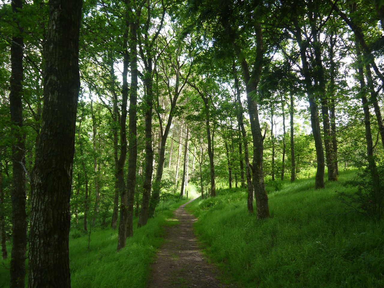
The Thicket
Once back on the right track we found one of the elusive SUW markers. We then had half a kilometre of woodland walking which was just perfect given the strong sunshine, but then we were back in the open and began a slow climb up a farm track, across the A697 and through the farm buildings of the strangely named Wanton Walls. I don’t know what I was expecting but the walls seemed rather normal, certainly not immodest or promiscuous. There was a small statuette of a pig.
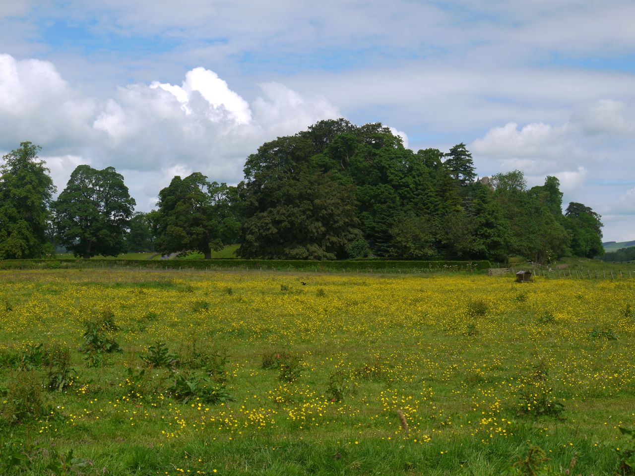
Eildons from Wanton Walls
After the farm buildings the track climbed further to an aerial just before the woods. The views here were back to the Eildons, while closer to us a bull stood watching over cows and calfs that were lying down in the fields. We joined a different track at the woods that led us a little further up until we left the trees. Then we walked across meadows filled with summer flowers, sheep and lambs to the top of a 330m unnamed hill. We paused there for a breather and a drink with our first view of the moors ahead.
SUW marker posts led us down to Snawdon Burn. I won’t grace the crossing by calling it a bridge. The burn is an unimpressive trickle that passes under the path through a pipe. Before that though we were faced with a flooded and muddy area to cross. In wet weather this would be difficult to cross without getting wet and muddy but on this hot dry day we found a way across with only a little mud on our boots.
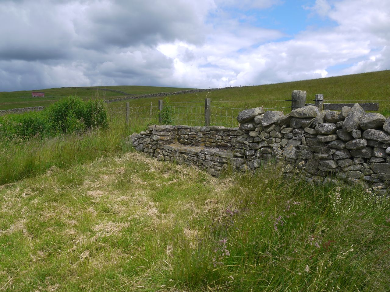
Seat at Snawdon
You would expect the SUW to carry on up the next hill, and a quad bike track went that way. The SUW however turns left here over a stile and passes by a small loch an that had yellow flax growing from its sides. A seat has been constructed in the wall here, and even the ground around it mowed. After a short distance and another stile the SUW turns right again and heads up to the col below Heugh Hill. Once over the col we came to a field where all greenery had been cleared leaving it looking like a desert. A lone hare raced across ahead of us.
Once across the dirt and back on grass we headed down to the footbridge over Blythe Water. A nearby sign informed us that it had been built in 1993 by the OTC. I had been expecting quite a climb on the far side of Blythe Water, but my map is marked with 5m contours which made it look worse worse than it actually was. By now we were walking on moorland rather than farmland, in the Lammermuirs proper.
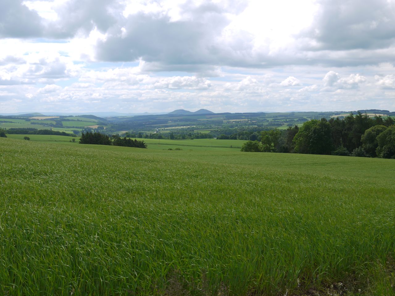
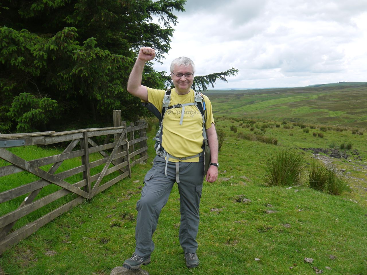
Lunch time was approaching so the clouds cut out the sunshine, the temperature dropped and the terrain became devoid of anything that could be used as a seat. We continued a slow climb up Scoured Rig across ground that could have been boggy but luckily was relatively dry. On Scoured Rig there were good views of both the Cheviots and the Eildons. When we emerged from the trees, above Braidshawrig, we had clocked up 200 miles so paused briefly for photos.
At 200 miles
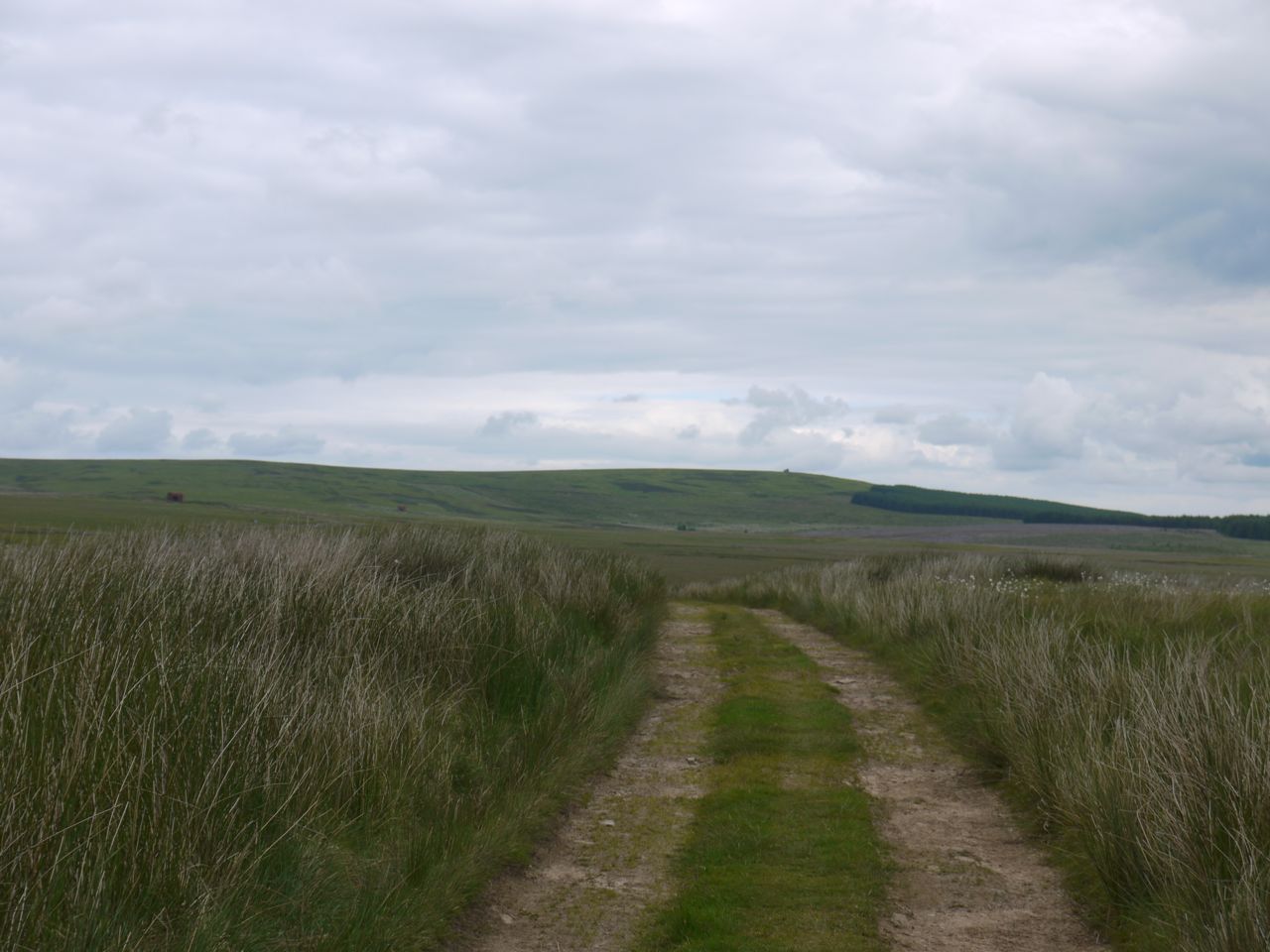
There was a descent to Braidshawrig then a climb back up onto the moors. There is a definite track to follow which I think must be the old Herring Road. On we walked. There is no other way to say this, but the next few miles were a boring trudge across the moors with little to see.
We passed a derelict barn, noticed heather, thistles, cotton grass and blueberry. There were a few birds including oyster catchers, curlews and grouse. The walkers we had met during the last section, who were walking the SUW east to west had said that this section was really good, but that’s not how it felt to us. To rub in the boringness the track took us on a dog leg away from Twin Law before taking us back.
The Herring Road, Twinlaw in the distance
Eventually the gradient increased and we climbed up to Blythe Edge. We met a fence here and turned right onto a narrower footpath. The OS map has Rutherford’s Cairn marked near here but we didn’t see it. Eventually we reached the top of Twin Law which is topped by two large cairns and a trig pillar. The cairns are said to commemorate two brothers who died fighting for rival armies, one Saxon, one Scots, at the battle of Twinlaw. Each cairn has an inset seat facing towards the Cheviots. These cairns were apparently used for target practice by tanks in WW2 and were subsequently rebuilt which probably explains why they look to be in such good repair.
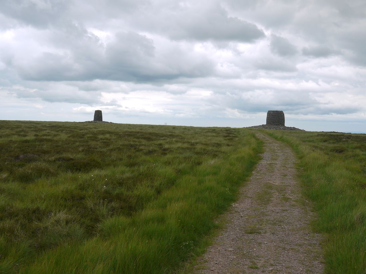
Twin Law Cairns
Audrey had wondered if we might be able to see the sea from here but visibility wasn’t particularly good so our view of the sea will have to wait for another day.
From the heights of Twin Law we headed down a well defined footpath to a road that crosses Watch Water. There is small wooden footbridge is the road bridge and that presumably was the SUW’s way across before this road was built. The road looked to me like those that service turbine farms.
From the road we took a farm track through Scarlow. The fields here were filled with sheep and we saw one poor rabbit that looked very unwell. Finally we crossed the dam at Watch Water reservoir and walked back to the car, our feet telling us that they had walked enough for the day.
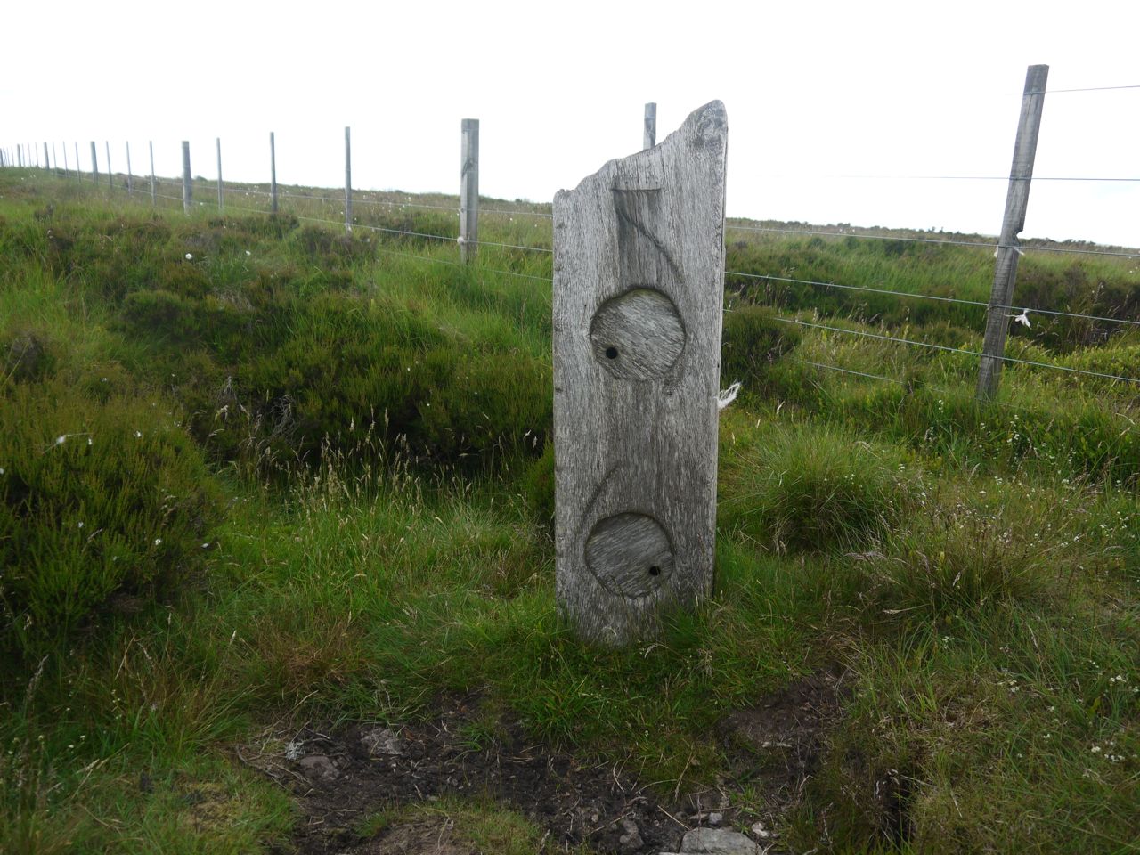
SUW kist
We found the coin hoard in a wooden structure beside a fence junction on the moors. It also had SUW badges inside.
[sgpx gpx=”http://www.screel.co.uk/walks/wp-content/uploads/2014/06/RK_gpx-_2014-06-21_1059.gpx”]
