Coomb Hill-Gathersnow Hill-Hillshaw Head-Coomb Dod-Glenwhappen Dod
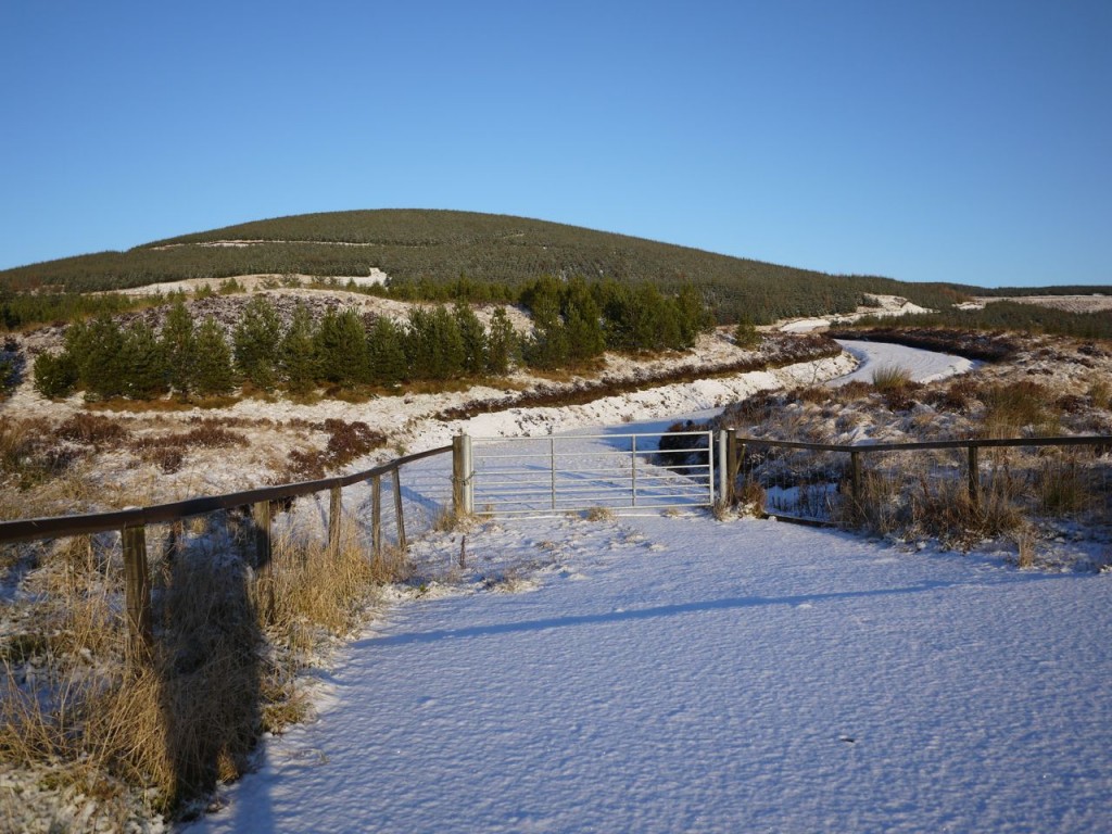
A cold day, -3C according to the car. This walk starts from the A701, near where Fruid Water joins the Tweed. I parked near a locked gate at the start of the forestry track that climbs around Weird Law. The path had a coating of snow about an inch deep and the trees had a light dusting of snow so the scene was like something from a Christmas card.
After about 2 km the forestry track flattens out. There is a small lochan, not marked on the OS map, at NT 077242 and I left the path here to climb over to the Kingledoors glen. There is a track marked on the OS starting by the Glenbow Burn , but I headed directly over to the Glenmuck Burn. This took me between the two minor prominences of Glenmuck Heights and Bank Head. This was across heather but the going was easy enough. I made the mistake of heading directly along the burn which led me into a narrow steep section. I tried climbing the east bank but gave up when it got too steep so headed over to the other side where I found a faint animal track. It would probably have been better to stay a little east of the burn, the side with a sheepfold, and avoid the narrow gully.
The Kingledoors Glen was strangely free of snow given the amount in the Tweed valley and on the hills. I had worried about crossing the Kingledoors burn and as I looked at it my worry grew. It was too wide to jump, too full to find stepping stones, and the bridge I had seen on google earth images was nowhere to be seen. But it proved easier than I had thought. Twenty metres upstream the burn narrowed enough to easily jump.
From there I made my way up to a farm track, then headed up Craigengar. The contours were furthest apart in a line running from a ruined farmhouse to a cairn on Craigengar, and I was a little way off this line so I headed up then across. There was a faint track but this petered out at about 400m. The lower slopes were grassy but higher up the heather took over making the going a little more strenuous. There are a series of small cairns below the larger one on the map, though they look more like the remnants of something more substantial. I wondered if they had once been grouse butts.
Looking back down the hill I could see a bridge over Kingledoors burn, close to the ruins. It had a rather strange, Mobius strip appearance. Since I couldn’t see it when down in the valley I wonder if it has collapsed into the burn.
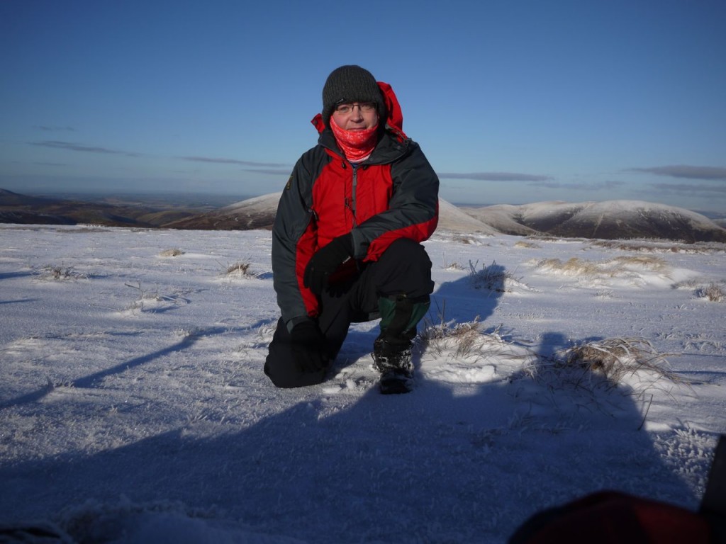
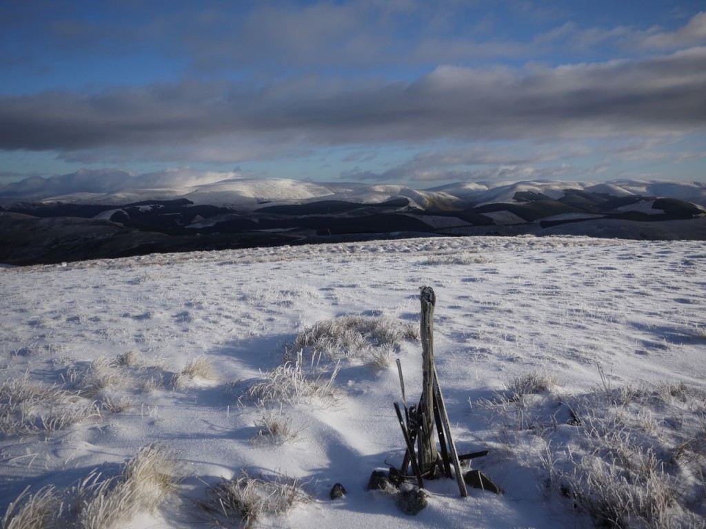
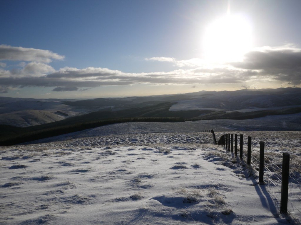
Once on the ridge I found myself in a winter wonderland of snow, cold wind, and excellent visibility showing the surrounding snow capped hills.
I had hoped there would be a path along the summits, particularly between Gathersnow Hill and Hillshaw Head but if there was it hidden beneath the snow. I could sometimes see vehicle tracks in the distance, but up close they were invisible. Despite that the going was easy. Presumably any boggy sections were frozen. I did give some suspiciously flat area between peat hags a wide berth in case they hid unfrozen mud.
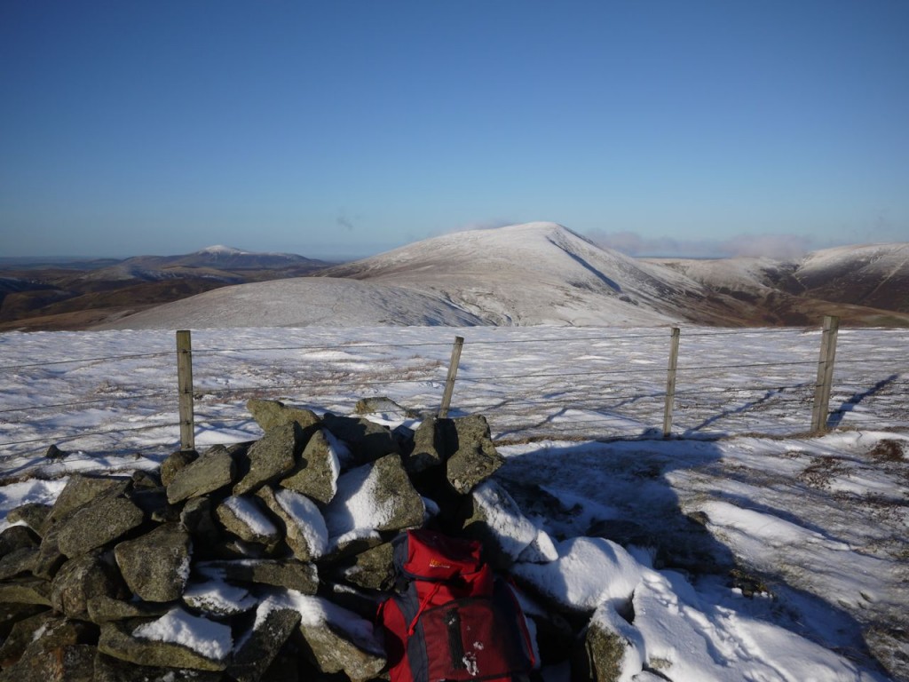
One problem on this section was finding a place to rest for lunch. There was no shelter from the wind, the hilltop cairns were diminutive, and there was nothing to sit on other than snow covered heather. I decided that I would stop in the col between Gathersnow Hill and Hillshaw Head. There is a gully at the top of Fingland Burn, but rather than providing shelter this was more like a wind tunnel.
So my lunch was taken a little further up the slopes of Hillshaw Head. My sitting mat proved useless in the snow so I sat on my rucksack having thought through the contents, checking off in my mind whether there was anything vulnerable to being squashed. As I sat on the rucksack munching through my sandwich I remembered the banana.
From Hillshaw Head the heather seemed to be deeper and the going became more difficult. It is only a short climb up Coomb Dod, with its weathered trig point and from then on it is mostly downhill so the deeper heather was somewhat easier.
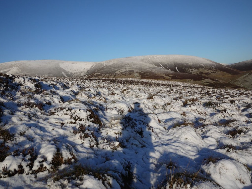
Without doubt, the most tiring section of this walk is that over Glenwhappen Dod and White Knowe Head above the forest. There was deep heather covered in snow. This was like the section in assault courses where you have to step over ropes, but in addition every now and then the ground would prove lower than expected. I feel pleased with myself that I only actually fell over once.
I fell for the old “grass being greener on the other side of the fence” ploy here. I was separated from the forest by a barbed wire topped fence and the terrain over there looked easier. I wondered if the forestry folk might have been driving above the trees. So I manoeuvred myself over the fence only to find things were just as bad.
Once on the summit of Glenwhappen Dod I could see that there was more of the same tiring deep heather to come. Since the summits were no easier I decided to contour around the next couple of prominences. Then I spotted a track in the snow. It was a few metres above the tree line at about 500m.
As I got closer it began to look as if it might be a ruined wall, but even that would be easier then the heather. When I reached it my heart sank. In a film I would have looked up to the sky and screamed “No..oo..oo…oo..oo…oo” my words echoing away as the camera pulled back. It was a ditch.
So I walked beside the ditch. The ground immediately downhill from the ditch had slightly deeper snow fully covering the heather giving the appearance of a path. But the ditch hadn’t finished taunting me. After a while it became wider, less deep, and broader. Since its base was free of heather, and apparently dry, other than snow, I found it was easier to walk in it. But before long it became narrower making it difficult to walk and then deeper. Once the edges were up to my elbow I gave up and climbed out. I took just short of an hour to cover 2.5 km above the trees.
Once past the trees the forestry track was in sight less than 1km away. Here the fence and an old wall weave along occasionally meeting. I followed the wall initially then headed between a stand of newly planted trees and a more mature plantation to get back to the forestry track where my footprints were still there in the snow.

