Eden Way: 8 – Appleby-in-Westmorland

8.68 miles 4h 43m ascent 219m
Colby-Sandford

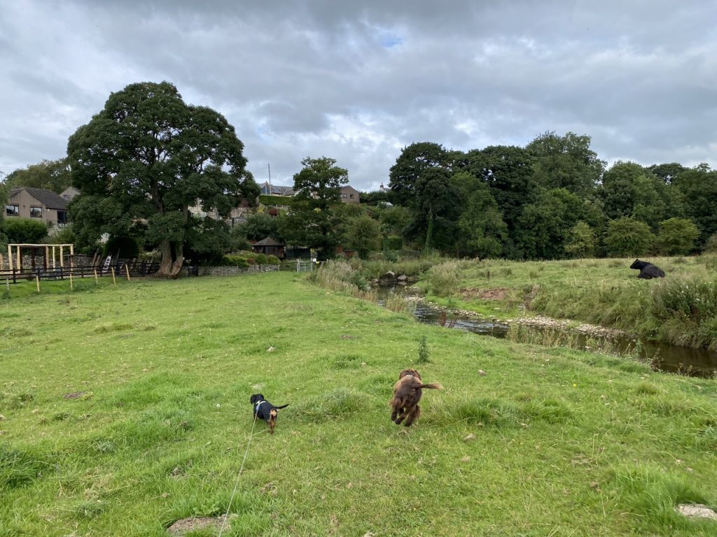
We had finished the last section a little way off the Eden Way. The closest parking had been where Colby Bridge crosses Hoff Beck, half a mile off the Way. Luckily, a public right of way runs alongside the beck between the Eden Way and where the car was parked. Unfortunately, it was not obvious how we should reach it.

A gate led to the right of way but it was not easily opened and the route beyond was overgrown with brambles. Another few paces and it was impassable. But the fates smiled on us. A woman appeared from the house beside us and told us how to reach the path. We walked through her back garden (with her permission) to a farm gate with a yellow right-of-way plaque. I imagine the original right of way had been altered at some time.
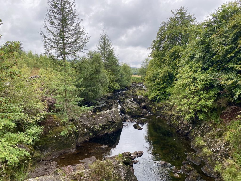
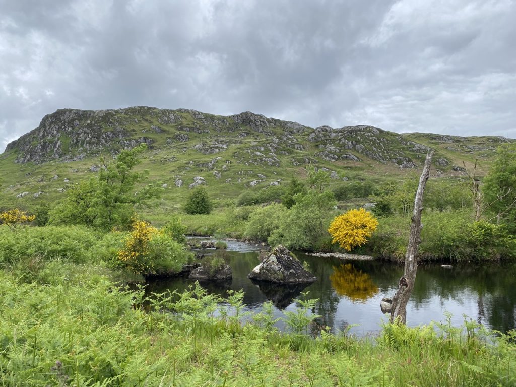
by Colby Beck
Continue reading
Posted in Cumbria | Tagged | Leave a comment

Castlemaddy: clambering over fallen trees II

6.56 miles 3h 30m ascent 201m

Polmaddy Burn

Polmaddy-Castlemaddy

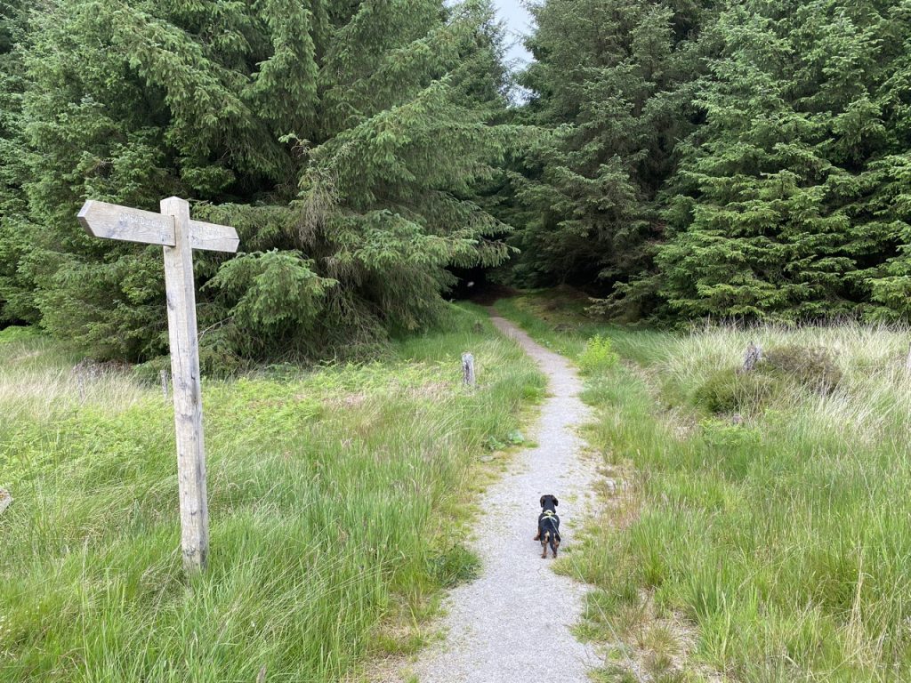
A simple walk from the parking area at Polmaddy, up the forestry track to Castlemaddy then back by the Pack Road to the Polmaddy Fermtoun.

Continue reading
Posted in Dumfries & Galloway | Tagged , | Leave a comment

Signalhøjden: midges, magnets and murals

5 miles 3h 4m ascent 432m

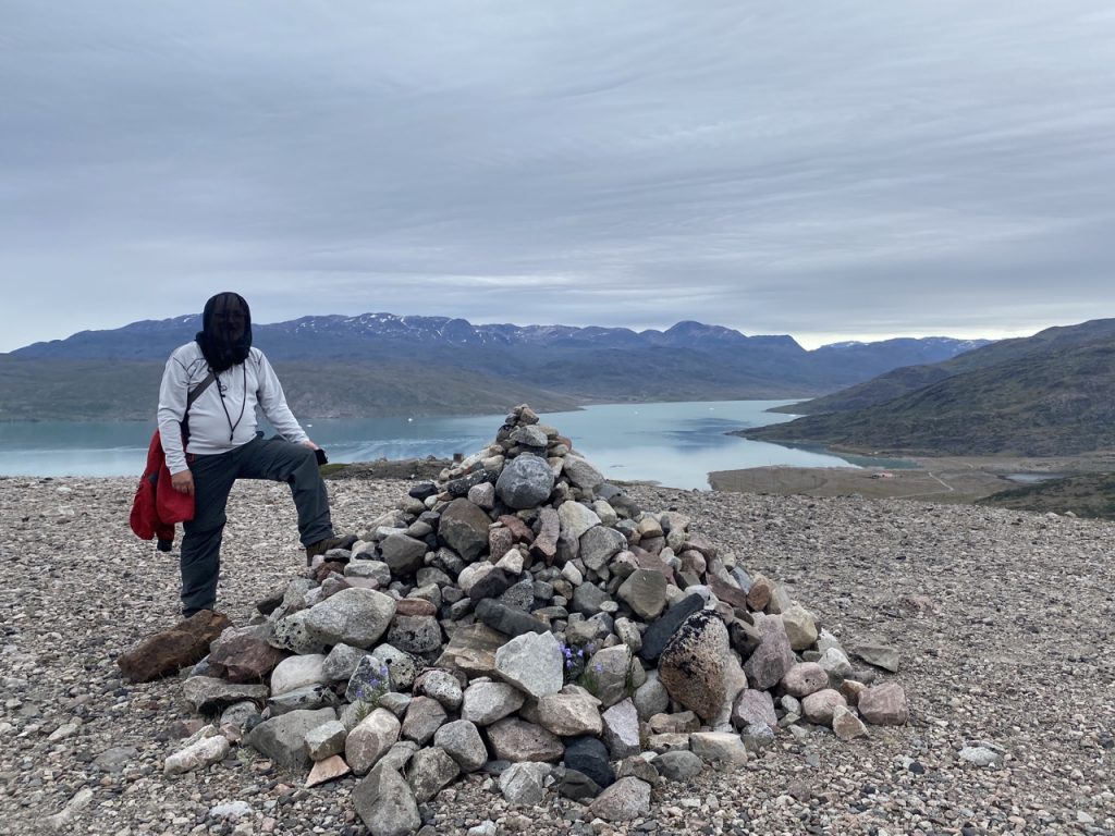
Signal Hill

Signalhøjden, Narsarsuaq, Greenland

Breakfast: scrambled eggs, crispy bacon and mushrooms. View: an iceberg strewn fjord, on one side Erik the Red had established a Norse outpost in 986 AD, on the other, the US built airstrip at Narsarsuaq. A small aeroplane, a Cherokee or something like it, rose from the runway and climbed over us.

Continue reading
Posted in Far away | Tagged | Leave a comment

Glenkens Pilgrim’s Way: a midsummer walk

7.74 miles  5h 9m ascent 252m

The Ordnance Survey shows a footpath between Polmaddy and Carsphairn. For more than 500 years it was part of the main route through the Glenkens to the south coast. It was once part of a network of routes across SW Scotland bringing pilgrims from Glasgow and Edinburgh to the cradle of christianity in Scotland at Whithorn. King James IV used the route to visit the shrine of Saint Ninian in the 1490s. But with construction of the turnpike (now the A713) the old route fell into disuse. With forestry planting and upland land improvements in modern times the path was beginning to disappear. Parts had become impassable. The Glenkens Pilgrims’ Way project spent three years rejuvenating the route and reopened it in 2020.

The Glenkens Pilgrims Way runs from the abandoned settlement at Polmaddy to the bridge just south of Carsphairn. Our plan was to visit the ruins at Polmaddy and walk the Way, there and back. Fallen trees meant the path proved a little more trying than it might have been. To be fair, the Forestry Commission website had said the path was closed by storm damage. We did manage to scramble over, climb under or find a way around the fallen trees but it slowed us down quite a bit and when we reached Bennan, the wee hill above Carsphairn, I decided to forego the final walk down the hill (and the enevitable re-ascent). So we turned back and retraced our steps.

Continue reading
Posted in Far away | Leave a comment

High Craigeazle: a trio of memorials

6.90 miles 3h 54m ascent 305m (1000 feet)

Brockloch Bridge-High Craigeazle-Dunkitterick Cottage

“I was born on Sunday, the 22d of October 1775, (I ascertained these points in 1805,— I did not exactly know my age in 1794) and baptized a fortnight after, on Tuesday 7th November — stated in the register of baptisms to be the 27th, but the old style is understood, (in the register.) The place where my father then lived is called Dunkitterick, or commonly Kitterick; in Earse, Dun-cheatharaiach, — the know of the cattle. It is on the burn of Palneur, on the south side, about a quarter of a mile from the burn, and on a rivulet that flows from the high hills above on the south. The hills of Craigneildar, Milfore, and others, quite overshadow the spot, and hide it from the sun for three of the winter and spring months. The cottage has been in ruins for more than twenty years, as the farm is herded from the house of Tenotrie, the tenant of which holds both Tenotrie and Kitterick. This place, now laid open by a road, was, when my father lived there, in a completely wild glen, which was traversed by no strangers but smugglers.” 

Alexander Murray, Manse of Urr, July 20, 1812.

Yet another Galloway Forest Walk. From the car park at the easily overlooked Brockloch Bridge, along to the Red Deer Range, up the forestry track to High Craigeazle, from where you can see the three Cairnsmores. Then the track and wee footpath to the ruins of Dunkitterick Cottage. An easy enough stroll but with 1000 feet of ascent.

Continue reading
Posted in Dumfries & Galloway | Leave a comment

Spooky Woods: the Seventh Stane

5.8 miles 2h 40m ascent 350m

Glentress Forest

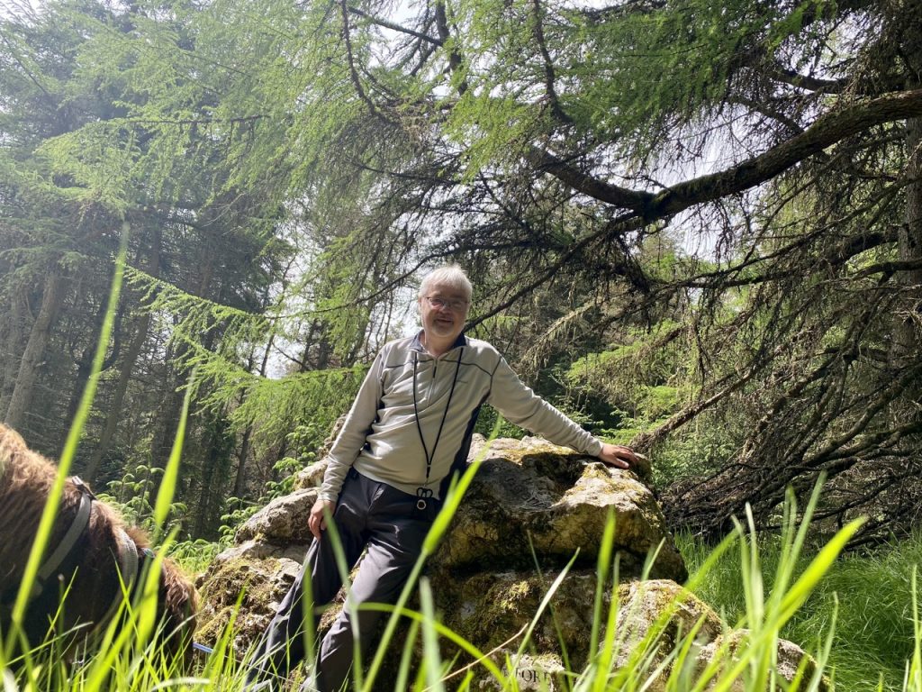
There are 7 stanes and, until today, I had visited only six: The Ghost Stane, The Heart Cleft Stane, The Gem Stane, The Giant Axe Head, The Talking Head Stane and the Border Stane. It was time to plod up to the Meteorite Stane and complete the set. So on a nice sunny day myself and the dogs set out for Glentress, a pretty drive marred somewhat by finding the B712 closed at Drumelzier (just for the one day!).

Continue reading
Posted in Borders | Tagged | Leave a comment

Maxwell’s Otter, Myrton Loch and the Quarrel Megaliths

8.03 miles 3h 35m ascent 161m

St Medan-Monreith-Myrton-Drumtroddan Stones (return)

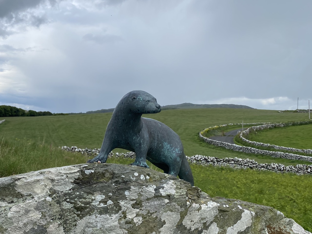
A bronze otter stands on the lichen covered rocks of Craigengour. His head is turned to look over the Lag promontory towards the Isle of Man, on the horizon. A memorial to the author of A Ring of Bright Water. The plaque reads “Gavin Maxwell, 1914-1969, author and naturalist. Haec loca puer amavit – vir celebravit.” These places the boy loved – the man celebrated.

Continue reading
Posted in Dumfries & Galloway | Leave a comment

Conquering Cruggleton Castle

5.98 miles 3h 47m ascent 110

Garlieston-Cruggleton return, and Torhouse Circle

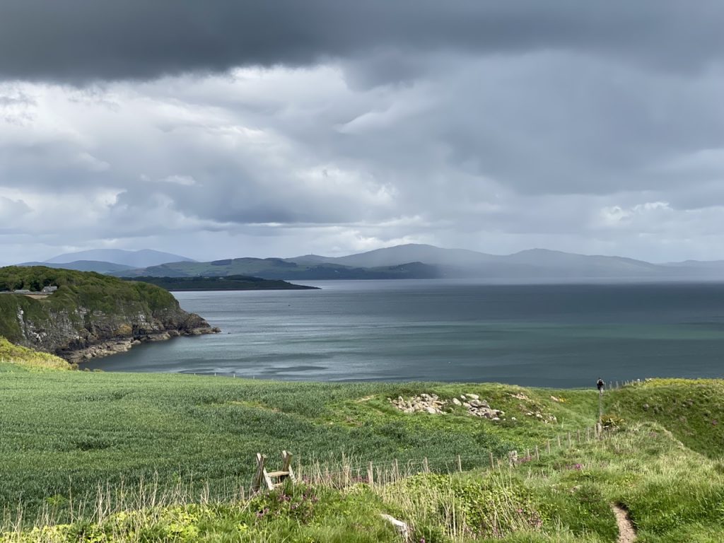
Garlieston Harbour is the closest port in Scotland to the Isle of Man. A sign warns that this is a working harbour and I can understand why such a sign was needed. It was once a busy fishing port but now mostly used by leisure sailors and sea anglers. We saw only one vessel that might have been a commercial fishing boat and that was high and dry

Continue reading
Posted in Dumfries & Galloway | Leave a comment