8.03 miles 4h 1m ascent 293m Mossdale to Merrick (part 2)
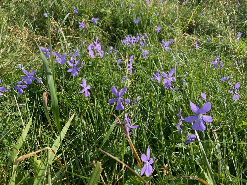
Spring. A cuckoo’s call in the calm air and cuckoo flowers in the verge. Sunshine that didn’t call for hats or sunscreen, and warmed but didn’t overwhelm. Coltsfoot and wood sorrel readying to yield to the bluebells and stitchwort. The red flowers of summer yet to bloom.
Lockdown. Car sharing is still banned. The Raider’s Road is closed to cars which seemed an opportunity to walk the route (or part of it) without the hassle of dodging cars.
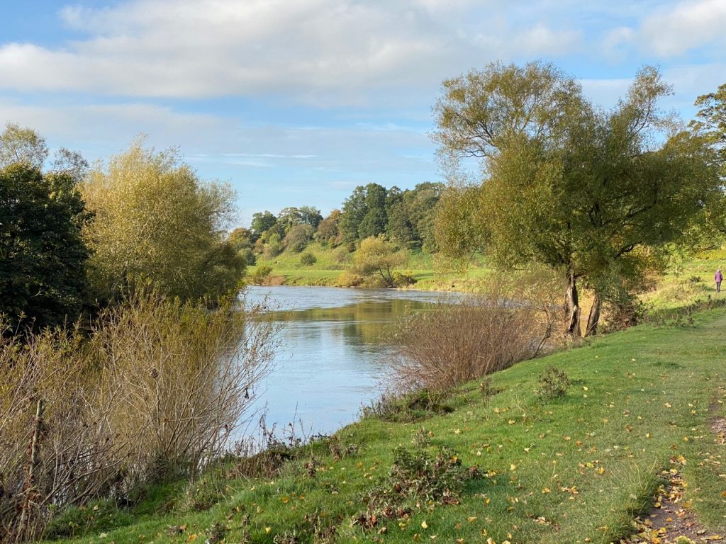
Christy at the Otter Pool
The weather was better than forecast, with sunshine for all but the last five minutes. We parked at the northern end of the Raider’s Road in an almost empty car park and set off to explore the footpath before hitting the road itself. This took us past a shelter in the forest (without any obvious purpose) and down to the river but not back up to the road. Some self seeding here had created a mini-forest of saplings. Mabel looked like a giant.
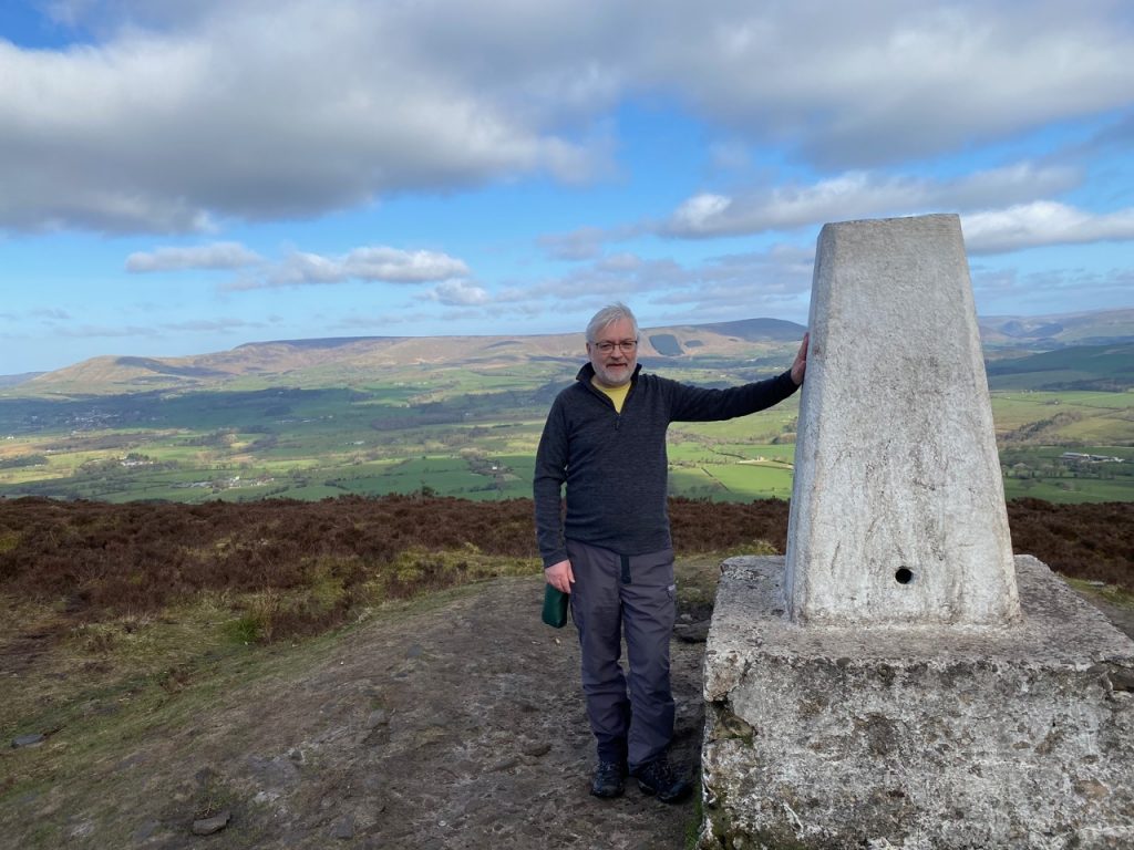
It’s been a while since I stood by a trig pillar. Coronavirus lockdown limitations and a return to work have each played their part. But rules have begun to relax and James offered to walk with me. A wee hill was needed, for me if not him, and I chose one unlikely to tax my wasted muscles or attract too many other walkers. I turned to lists of Marilyns and started at the bottom.
Longridge Fell. Not much dispute about the etymology there but with the added bonus of being England’s southernmost ‘fell’. South of here the fjall are become hyll, despite the Danelaw having extended much further south.
There’s not much to say about the walk. There were several options and we chose the shortest route, which starts at Jeffrey Hill. A well worn track took us over heath to a a low cairn. The OS marks this as a cairn circle but we couldn’t see the circle. I believe the circle is of small cairns which are hidden in the heather. Or perhaps the circle has been gathered together into the one cairn.
The track becomes less obvious at the cairn. An alternative track forked off a couple of hundred metres earlier but I spied it a little further on and we headed straight for it.
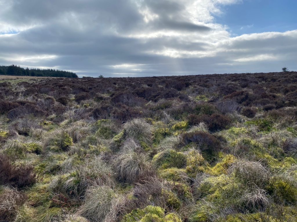
The going was wet. I was wearing non-waterproof walking shoes and soon had wet feet. No reason to avoid the boggy bits after that. Until the boggy bits got deeper. We found that the ‘track’ I had seen was one of those very wet areas where even the heather can’t grow, made of spongy wet sphagnum moss into which one’s feet can sink to mid calf. Which they did.
Plan B. We turned towards the wall to our SE. This was over heather (see picture above) but proved to be just as boggy. Then James spotted some walkers, presumably on the actual path which we headed for. A wee brook/ditch in the bog added a little interest for us.
Once on the track we followed it up to the trig point on Spire Hill. The track follows a wall and there seemed to be a path each side. Which to choose. We went up with the wall on our left, and came down with it on our left. Neither was particularly superior.
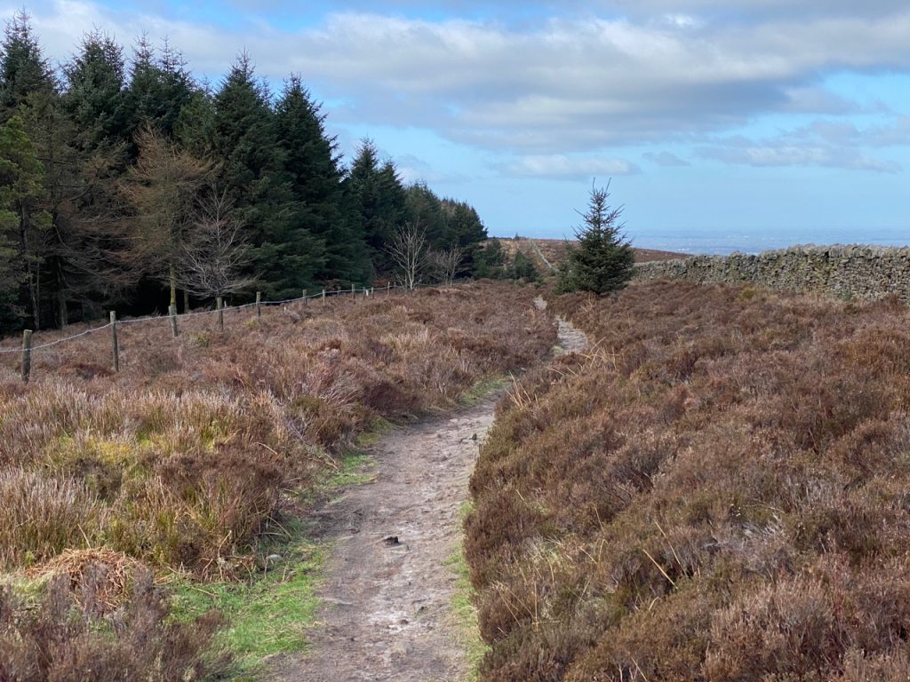
The path down
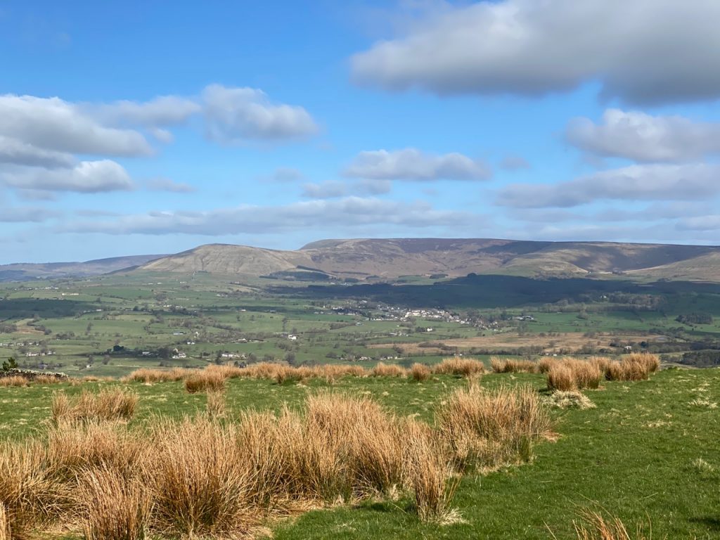
From the top we could see distant hills which I took to be the lake district but checking the map I think they were the Yorkshire dales. In the valley beneath us sat the village of Chipping (see Chipping – still a fond memory) with Parlick Pike and Wolf Fell rising behind it.
Chipping and Parlick Pike
We tramped back down on the path we might have used had we not gone via the cairn circle.
An easy walk with pleasant views. My first new Marilyn in a good while.
Hadrian’s Coastal trail, which we had walked in 2019, follows the old Cumbria Coastal Way from Ravenglass to Bowness where it meets the Hadrian’s Wall Trail. The Cumbria Coastal is no longer on OS maps, but used to continue up the Eden, to end at Metal Bridge.
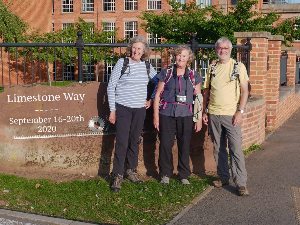
Our final leg of the Limestone Way took us out of Derbyshire’s White Peak and into Staffordshire. From limestone and dale to river and brick. The weather could not have been better, the walk was mostly downhill and we finished with a photo.
A day of gentle ups and modest downs in pleasant sunshine, taking us from a land of drystone dykes to one of hawthorn hedgerows. My first draft, and second and third, for this write up were very much “we crossed a field, and then another field, then a road, and then another field, and a road, and then a field, and another…”. So I’ve tried again…
I remember this walk as being in warm sunshine, but the photos show we started beneath a cloud-filled sky. The route was mostly downhill, though it wasn’t really noticeable and there were a couple of climbs out of dips. The Limestone Way swings east to Bonsall Upper Town, leaving the north to south direction of most of the route, before swinging back. A vestige from the original route that ran from Matlock to Castleton.
Our second day of the Limestone Way was in t-shirt weather. The navigation was mostly straightforward and the going was easier. There were two main uphill stints, at Sough Hill and Lathkill Dale, but most of the walking was downhill or level.
The Limestone Way is a 46 mile walking trail in the Peak District National Park. It begins in the town of Castleton, below Mam Tor, and makes its way over the broad limestone plateau of the White Peak, and down through the Derbyshire Dales to Rocester, home of JCB, in North Staffordshire. We had decided to walk the trail over four or five days, and after our first day decided five days was the best choice for us.