7.27 miles 4h 6m ascent 82m
Stranraer-Kirkcolm
This was a hot day, forecast to rise to 23º , so we did not bring the dogs and that was probably for the best since there would have been quite a bit of on-lead road walking. The official route gives part one as Stranraer to Corsewall and at 13.5 miles but that was a little far for my ambling pace, so we walked about halfway.
The Rinns of Galloway Coastal Path starts at the Harbour Offices (the tourist centre) in Stranraer and is marked by an “archway and a seat with interpretation and native planting“. These are made of rust red Corten steel which was chosen to reflect the area’s maritime and spiritual heritage.
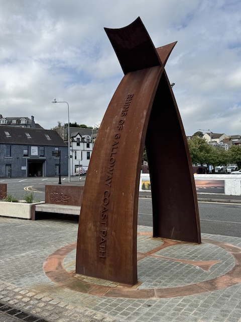
Corten Steel? Unlike traditional mild steel that flakes and degrades over time, Corten steel is blended with copper, chromium, and nickel. With weathering, the metal undergoes oxidation creating a stable surface layer of rust which acts as a barrier, protecting moisture the deeper layers of the metal.
We didn’t spend a great deal of time in Agnew Park, having explored when we did the Mull of Galloway Trail. But we did make use of the WCs and reminisced about our last visit, when at the end of a similarly hot day, we were disappointed to find the cafe out of ice cream.
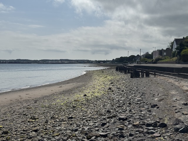
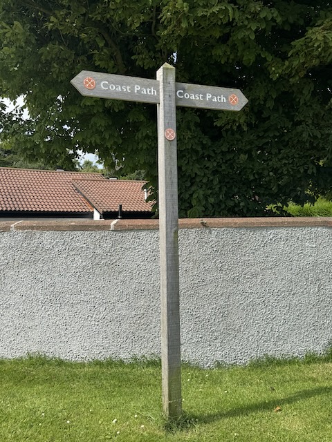
After the park, we joined the promenade and walked beside Loch Ryan, passing the wavy wall and the old RNLI lifeboat station. Our walk was timed so the tide was ebbing. We admired the large houses and listened to squawking sea birds. Three oyster catchers seemed to fill the sky with their noise. And then we were on the beach, a Coast Path finger post showing the way.
Unknown flowers all presumably sea-something
The beach is gravel and pebbles giving way to seaweed covered rocks, and hard going underfoot. The onomatopoeia of “trudge” was soon revealed. I felt a tightness behind my left knee and hoped it was tight hamstrings (which i might expect to relax with time) rather than a popliteal cyst (which would presumably worsen).
There were quite a few unfamiliar wild flowers, some of which we named correctly, others had to wait until we were home. I was fooled by the marsh woundwort since it wasn’t especially whiffy.
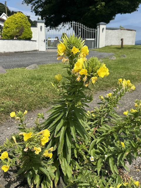
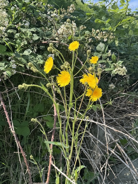
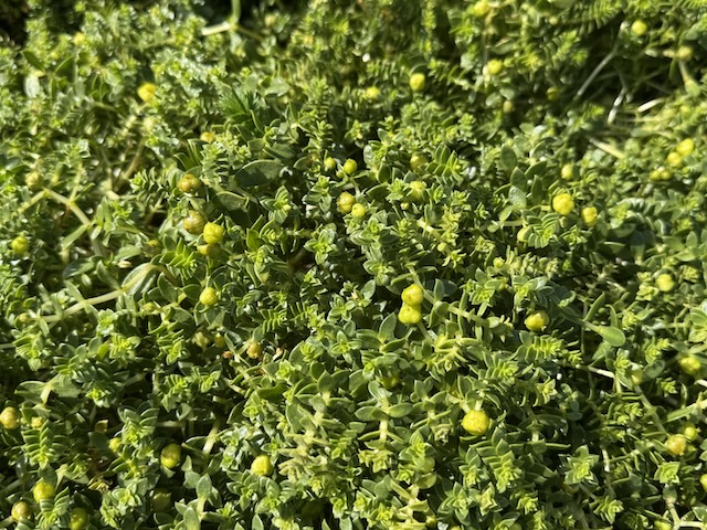
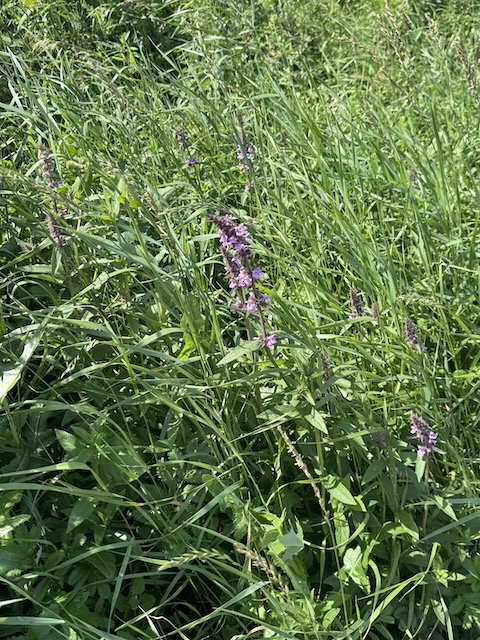
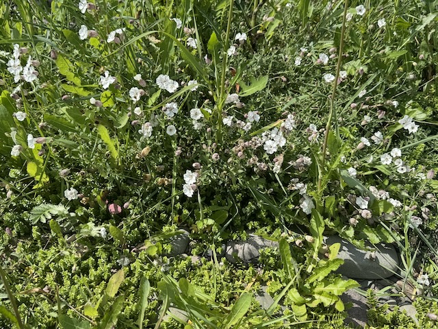
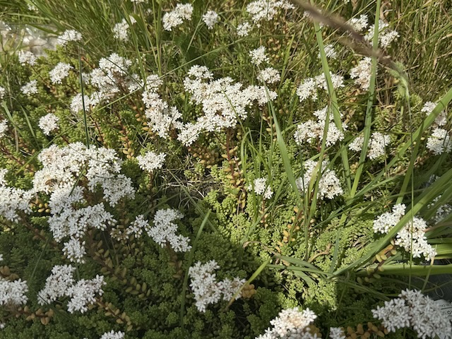
I thought the green mat might be easier walking but it was worse if anything, so I spent my time switching between gravel, pebble, and sand. I had hoped the ebb would reveal some flat we sand but all we were offered was rocks and mud. Trudge. Trudge.
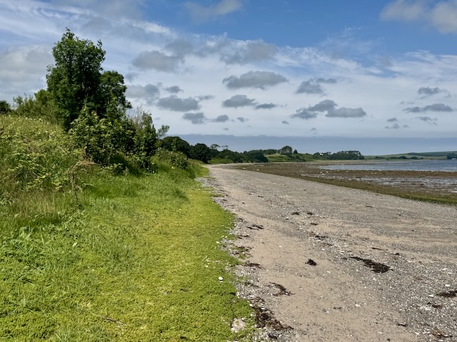
But I don’t want to make too much of the trudging – it was only a mile and a half at most.
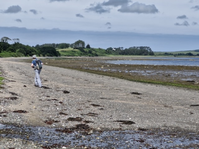
We came to the golf course with its soft, mown grass just a step up from the beach – 200 metres of respite. We climbed on to the groomed grass and our walk was instantly easier. The only “drawback” was we had to stop for a few seconds so as not to disturb golfers taking their shots. It was an opportunity to take a swig of water; still cool at this stage.
We had not noticed the golf course slowly climbing away from the beach and we found ourselves faced with a wall of boulders as our descent. Having walked on the soft grass we could not now get back down to the beach. To be honest, I would have clambered down the rocks but Audrey insisted on being sensible, citing fractured ankles, twisted knees, concussion etc. so we retraced our steps.
I found an easier climb a little further back, Audrey went back where we had left the beach. Her GPS track at the end reflected the extra distance. some respite that was.
On we trudged. Ferries arriving across the water and the old jetty – where warships came to be broken up – coming into sight. We crossed a small burn which had a well placed stepping stone. From somewhere I could hear a voice complaining about the gravel beach, it was strangely recognisable.
We passed a tall RCGP waymarker and inferred we were on the right track. I did recall we would need to leave the beach to cross the larger Sole Burn on a bridge but thought the turn off would be obvious. Then we reached to the burn. Definitely too big to cross without a taking a dip.
Ah, that waymarker we had passed, it should have been a finger post. We turned round and trudged back. Barbed wire keeping us on the beach. At the waymaker we left the beach to battle through overgrown grass and bracken, with the odd bramble thrown in to scratch our arms and trip us up. And with that we were on the road.
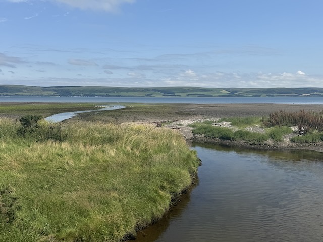
Easy walking. We passed the entrance to a Garden Centre and did consider nipping in for a coffee (Audrey’s suggestion) or an ice cream (mine). I agreed with the concept but didn’t fancy the extra walking to the cafe. It was a bit too soon for coffee anyway.
Ahead we could see a red boat at what I thought would be at Wig Bay but proved to be a little short of it. I had presumed there would be a way back to the beach after the bridge but without a machete/wire-cutters/rope-ladder that would have been difficult. So we walked along the road. Easier on the knees and there wasn’t a great deal of traffic.
We began to meet information boards explaining the history of the flying boat base here during WW2. WigBay Holiday Park now sits on what was part of the base.
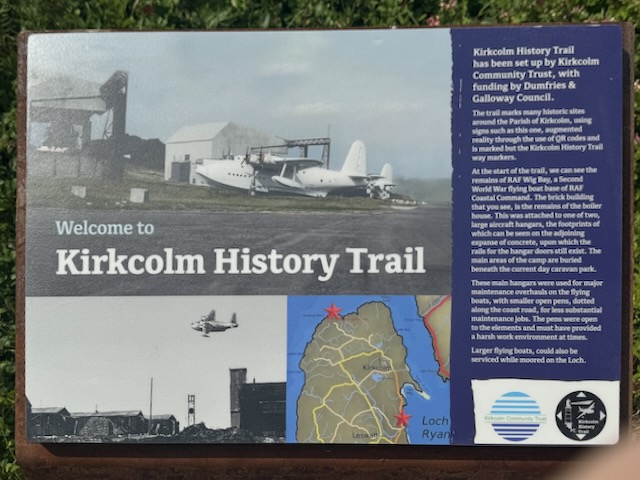
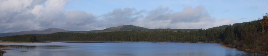
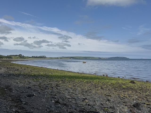
A ‘slipway’ here let us on to the beach and we found a boulder to sit on for lunch. It was a nice spot looking out over Loch Ryan. We could see the path we had taken when walking along the other side of the loch (the Loch Ryan Coastal Path).
After lunch we could have walked back to the slipway where we had come on to the beach. That would have been a few paces, but we continued along the difficult gravel, presuming there would be another way up to the road. There wasn’t. Well not for a good while, so we had a bit more trudging, as the sun beat down.
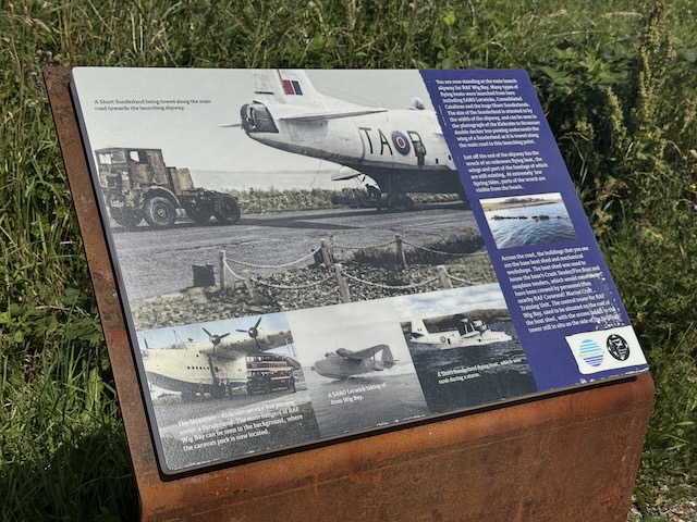
We were almost at the ‘Sailing Centre’ before we found our way back to the road. There were more information signs. One said the slipway beside us had been used to launch the flying boats and that the buildings on the other side of the road dated to that time. But there were neither buildings nor a slipway. I wonder if the info board should have been a couple of hundred metres further along the road where there were both. This is where the red boat we had been able to see for some time was, in a rather neglected looking boatyard.
Another information board explained that to our right we would notice where the hillside had been cut away to allow flying boats to be towed along the road. To our right was the loch! The cut away hillside was to our left (ahead of us). A photograph of a double-decker bus parked under the wing of a Sunderland showed the size of these planes.
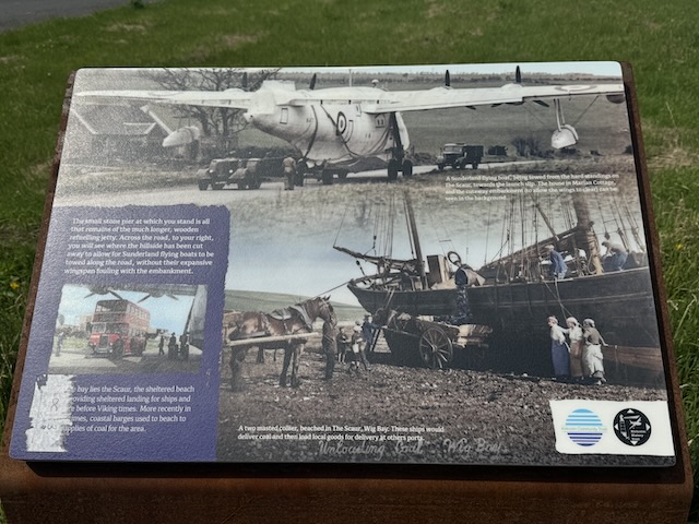
It was a short walk along the road, occasionally climbing on to the verge as vehicles passed, and we were soon at the Wig Sands car park. Our gravel trudging was over.

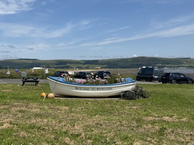
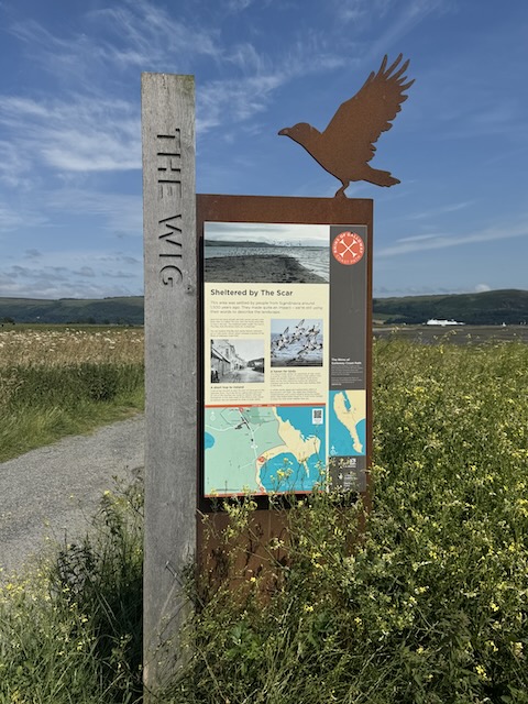
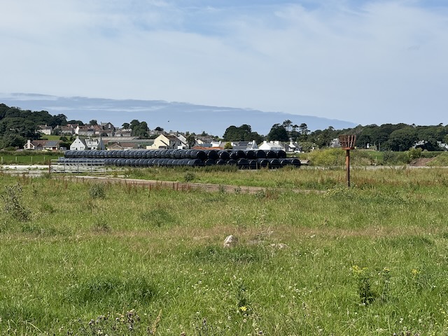
A farm track took us out to The Scar, with views back down the loch on our left and the aprons of RAF Wig Bay to our left. A fire beacon stood at the end of one apron; not something I have seen on an airbase before. I don’t know if it dates back to WW2 or is some sort of Millennium installation.
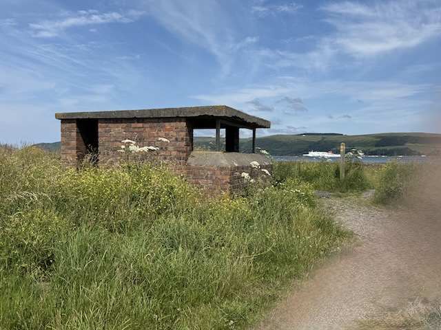
At the Scar is a small brick building which I would have said was a WW2 look-out. A sign beside it said it was a historic building and NOT a toilet. I decided not to venture inside.
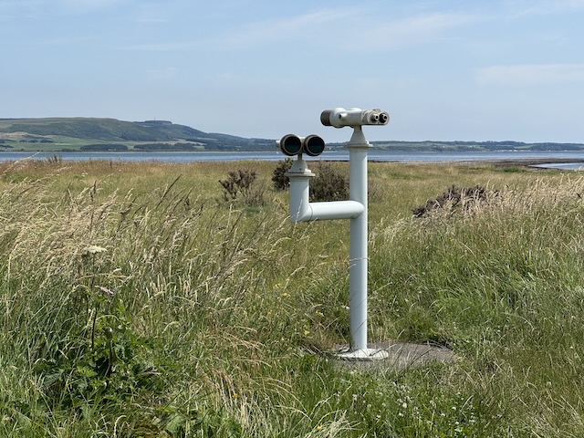
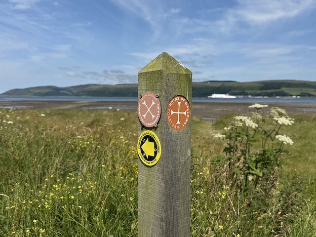
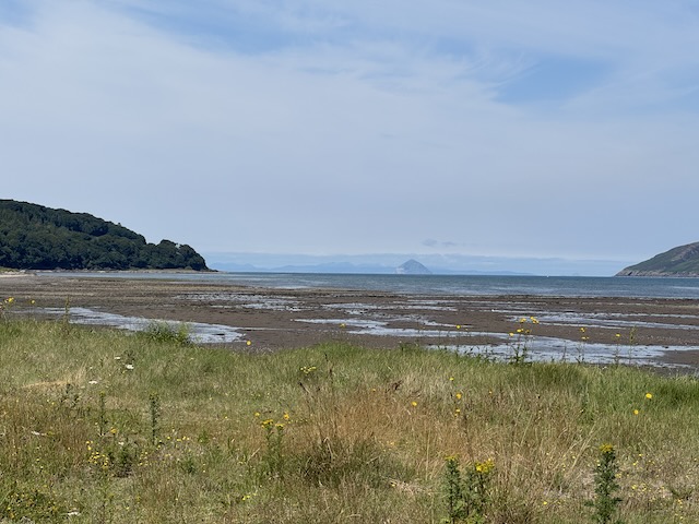
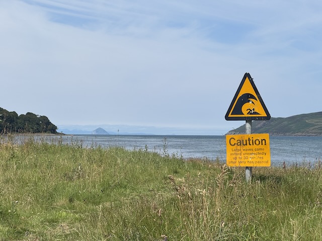
A grassy track led us north across the dunes. The views of Ailsa Craig were excellent and we spent some time wondering how much of the land on the horizon was Arran and how much Mull of Kintyre. We passed some white cows that Audrey said were cabriolets, or was it chevrolets? (Charolais – it came to me in the end)
When the path forked, we took the left hand tine. At first our way was a little overgrown, but pretty soon it opened up and we found ourselves in the shaded by trees as we walked beside the Corsewall Burn. That path became a track and brought us to the entrance to Corsewall Estate. This is where I had expected to turn right, but a chain hung across with a sign “Private Property”. I hadn’t brought my magic marker so I wasn’t able to add “is theft”.
Luckily we spotted a public right of way signpost (one of those green ones) a few metres further along the track and that brought us back to the burn. It could have done with an RGCP sign. I suspect the estate road had once been the original public path but a new(ish) fence keeps the plebs and the hoity-toity separate now.
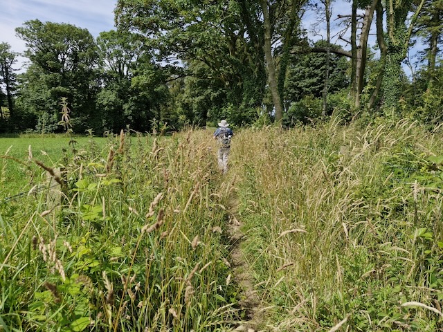
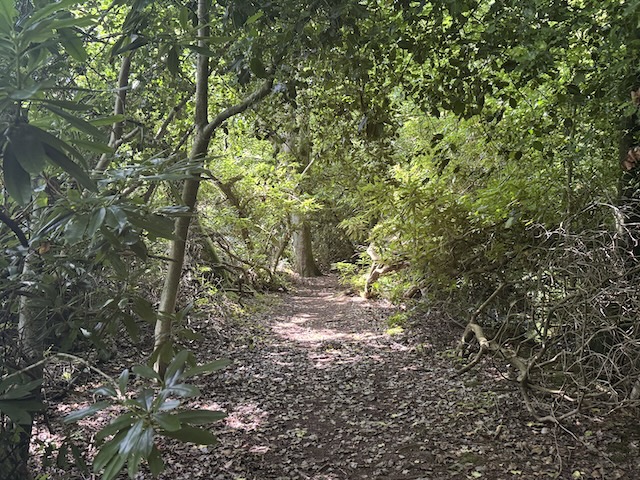
We crossed a footbridge and the impression I had was of a rural idyll. I remember thinking I should take a photo, but obviously didn’t. A final stretch of mown grassy path brought us to the short path connecting Kirkcolm to its old churchyard. Directly across from us was St. Columba’s Well.
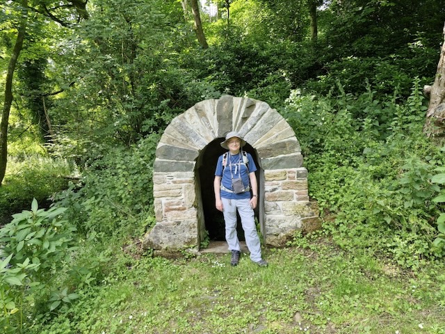
St Columba, the patron saint of poets – having argued in favour of some bards in a dispute with nobles in the 6th century – and founder of Iona Abbey is credited with bringing Christianity to what is now Scotland. Not surprisingly there are a great many old places named for him, particularly wells. He is said to have blessed these so they might be used for christenings. I can’t help thinking that these wells would have been sacred to pagans even before he repurposed them.
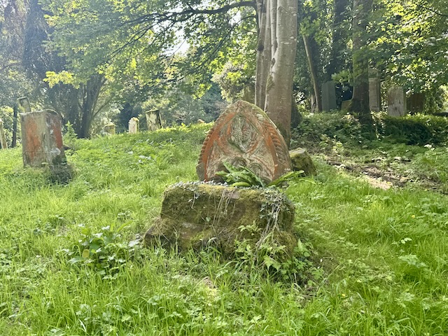
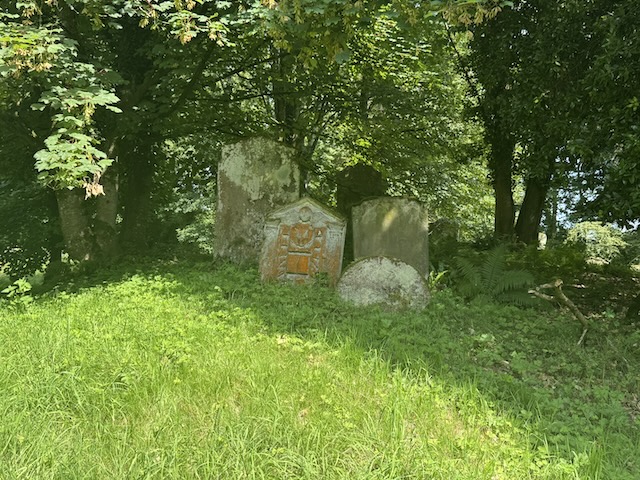
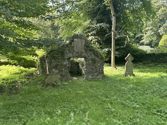
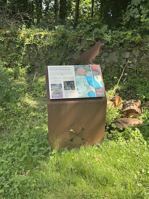
The Auld Kirk is long gone but the kirkyard and cemetery are sill there, somewhat overgrown but with a mown path for visitors and an RGCP information board (with a QR code). There were a great many old gravestones with interesting markings and many were covered in an orange lichen. Google says it is most likely Yellow Sunburst Lichen. I have seen it on trees before but can’t say I’ve ever noticed it on gravestones.
I thought one of the lichen-covered gravestones had a thistle on it, which seemed unusual, even somewhat pagan. But looking at the photo I took I see now it is a dove, flying downwards and carrying an olive branch. Understanding Cemetery Symbols suggests that a dove represents the holy spirit, and carrying an olive branch would be to dispel evil spirits.
We had parked in Kirkcolm so it was only a brief walk back to the car. I had left a bottle of ice cold water in a chilly bottle and supped from it like a conquering hero.
This was our first outing on the new Rinns of Galloway Coastal Path. The trudging through loose gravel was a bit hard on ailing knees, but the views were good, the weather though in ‘heatwave’ territory was bearable with the breeze. I was glad to see where the flying boats once gathered even if there are only photographs of them now. And the Auld Kirkyard was a nice end to the walk. We could have stopped in the garden centre if we had wanted and there were benches along the way. We saw plenty of coastal flowers.
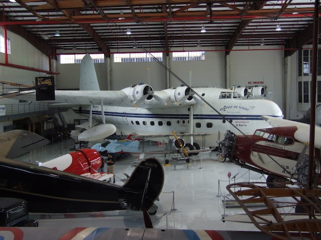
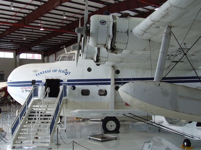
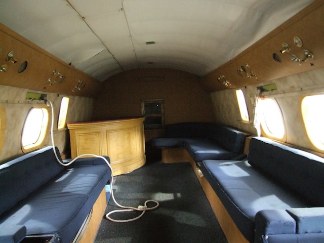
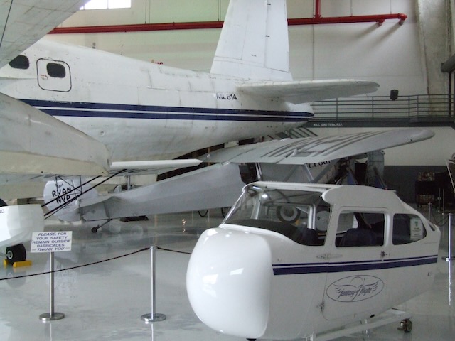
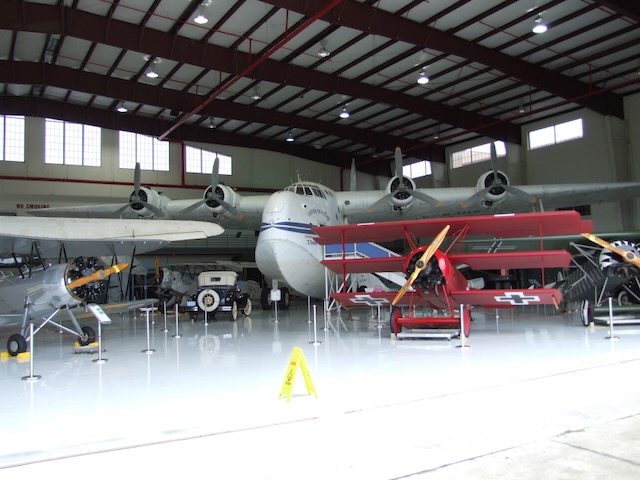
Here is a photo of my own of a Shorts Sunderland (actually a Sandringham). The photo is from 2008. This was the last airworthy example of the type. This aircraft was actually based at Wig Bay at one time and may have trundled along the road we had walked.