9.2 miles 3h 30m ascent 283m
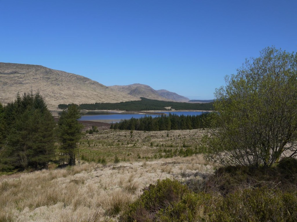
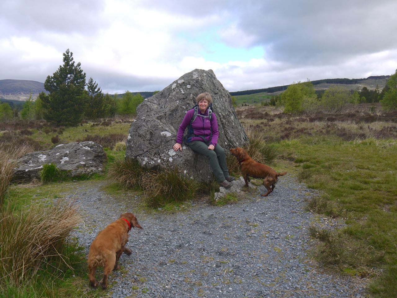
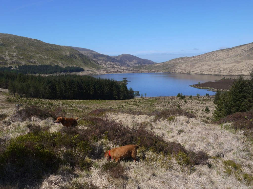 This was a straightforward there and back route from Craigencallie, along forestry tracks past Loch Dee, over the Laggan Burn and up the slopes of White Hill/Curleywee to the Loch Dee Rosnes Benches. On the return leg we went down to the loch itself and the dogs washed away the worst of the mud.
The weather and the experience were glorious.
Malcom Harper walked here in the nineteenth century without the benefit of forestry tracks and was stirred by the place.
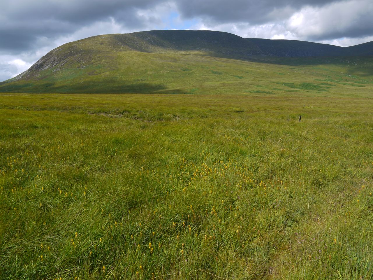
Loch Dee is a lonely mountain lake, in a treeless waste, about five miles north-east of Loch Trool, and is only approachable by the pedestrian, or by very rough bridle roads. Heath and moss, rocks and stones without end, and jagged hills, with here and there bright verdant patches on their rugged sides, form the chief features of the landscape.
Agriculture is nowhere to be seen, and the traveller might in a day’s walk not alight on a human habitation. The whole region being one vast sheep farm, only here and there a solitary shepherd’s sheiling is to be found in low sheltered places. The district is not opened up by roads, and its interesting character is but little known — its solitudes
being seldom trodden save by the shepherd, the sportsman, and the student of nature.
The mountains, which in proud and sullen majesty rise round the source of the Dee, are rendered spirit-stirring by the memories of other times, and are calculated to arouse in the breast of the rambler feelings of patriotism and admiration of our ancestors. Being ” the birthplace and cradle of our country’s independence “under the patriot king, and as having afforded a safe retreat to our Covenanting forefathers from the fury of the persecutor, this district ought to be interesting to every lover of his country.
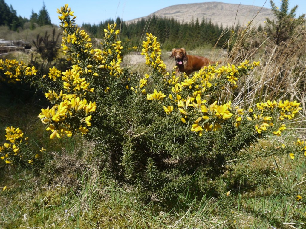
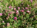
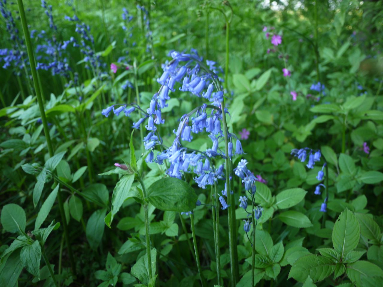
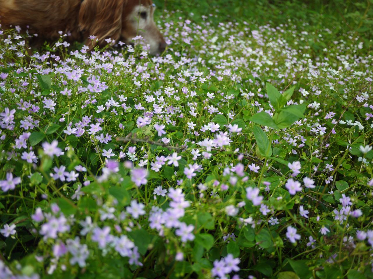
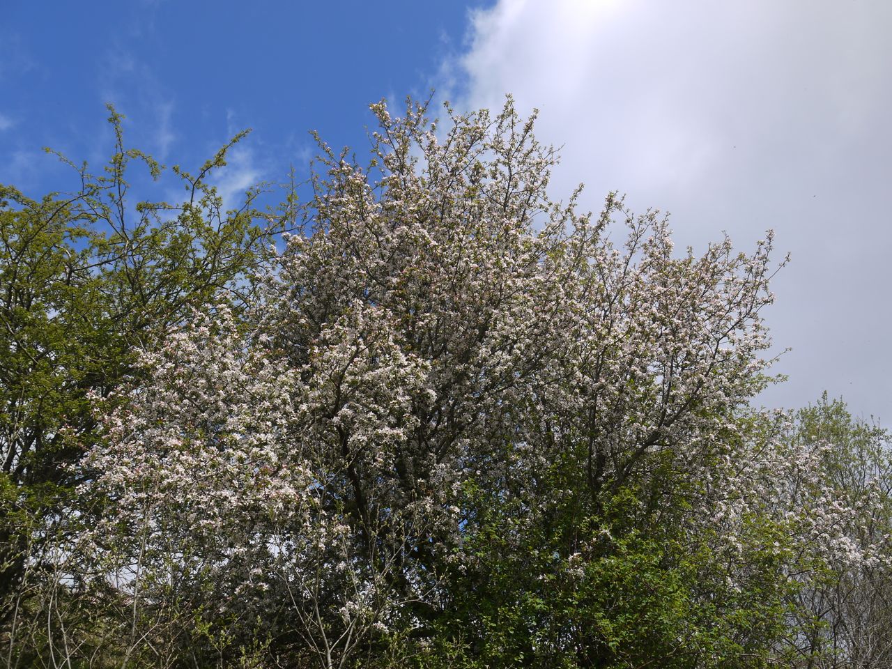
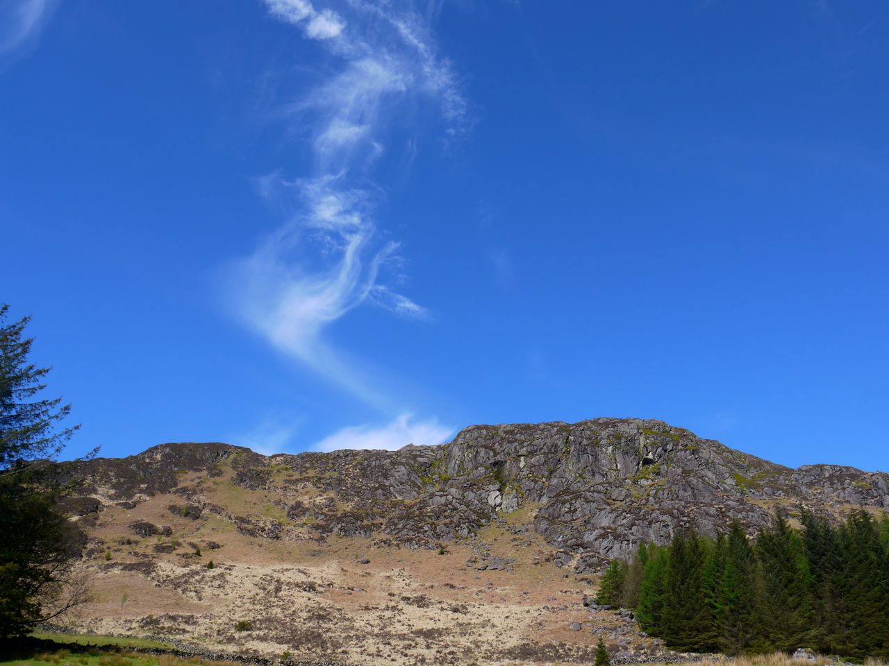
Our visual cortices like his were well stimulated, the views bathed in a deliciously full light. The hills on show were: the Rhinns of Kells from Darrou to Corserine, with Carlin’s Cairn just peeping over from behind Corserine and Meikle Mulltaggart, the wilder southern hills of the range climbing into the smooth grassy northern summits; the grey rocks of the Dungeon Hills with Craignaw and Dungeon Hill guarding the Nick of the Dungeon, and a terrain designed for breaking legs; Craiglee (Craig Liath), the grey hill, which has to share its name with another grey at the northern end of the range, was still sporting its straw coloured Winter livery; Curleywee, a wonderfully strange name to us but really just a simple description, Cor le gaeith (pron. gwee) the peak in the wind, in its green Spring livery, the slopes from a distance a siren call to the unwary, looking to be an easy, albeit steep, ascent but on closer examination, actually knee deep dense undergrowth.
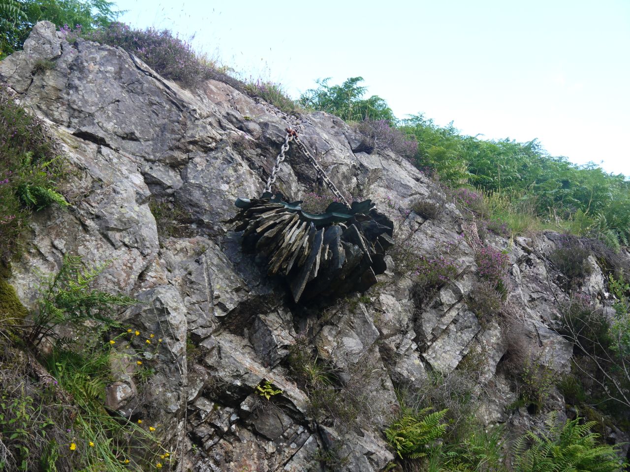
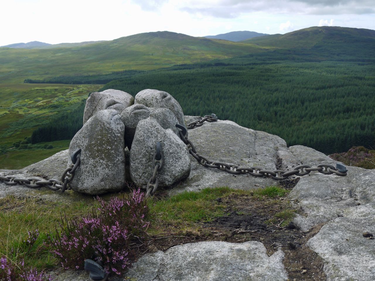
The Dungeon Hills from dr Borthwick’s bench
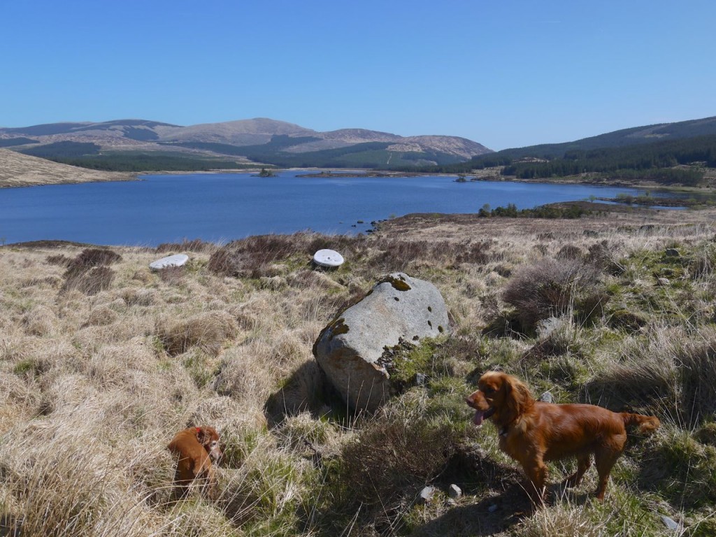
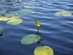
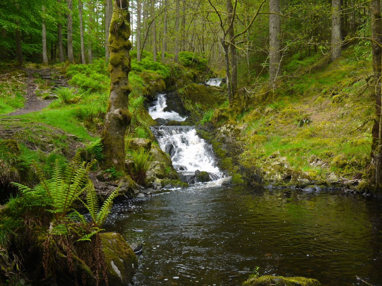
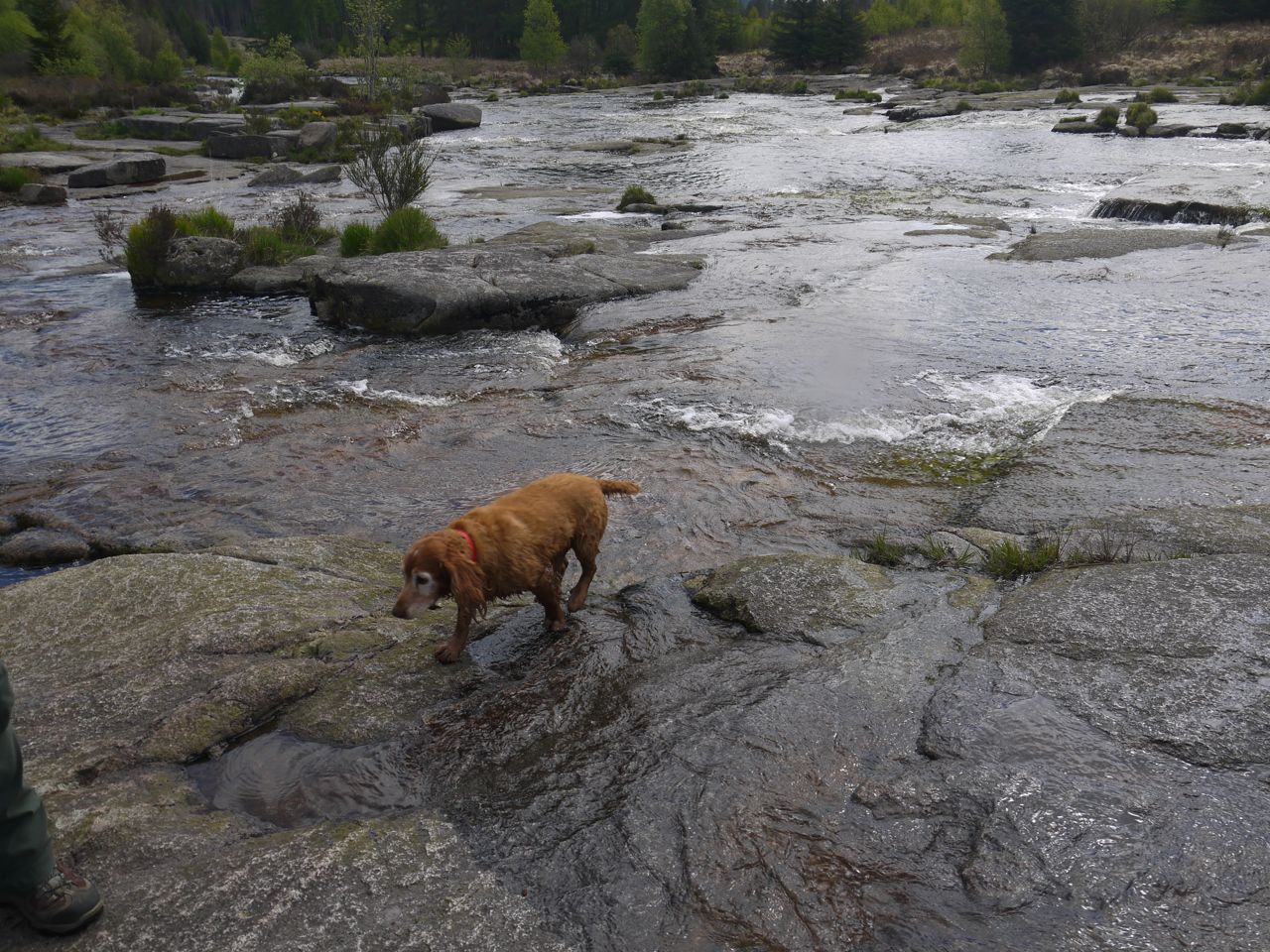
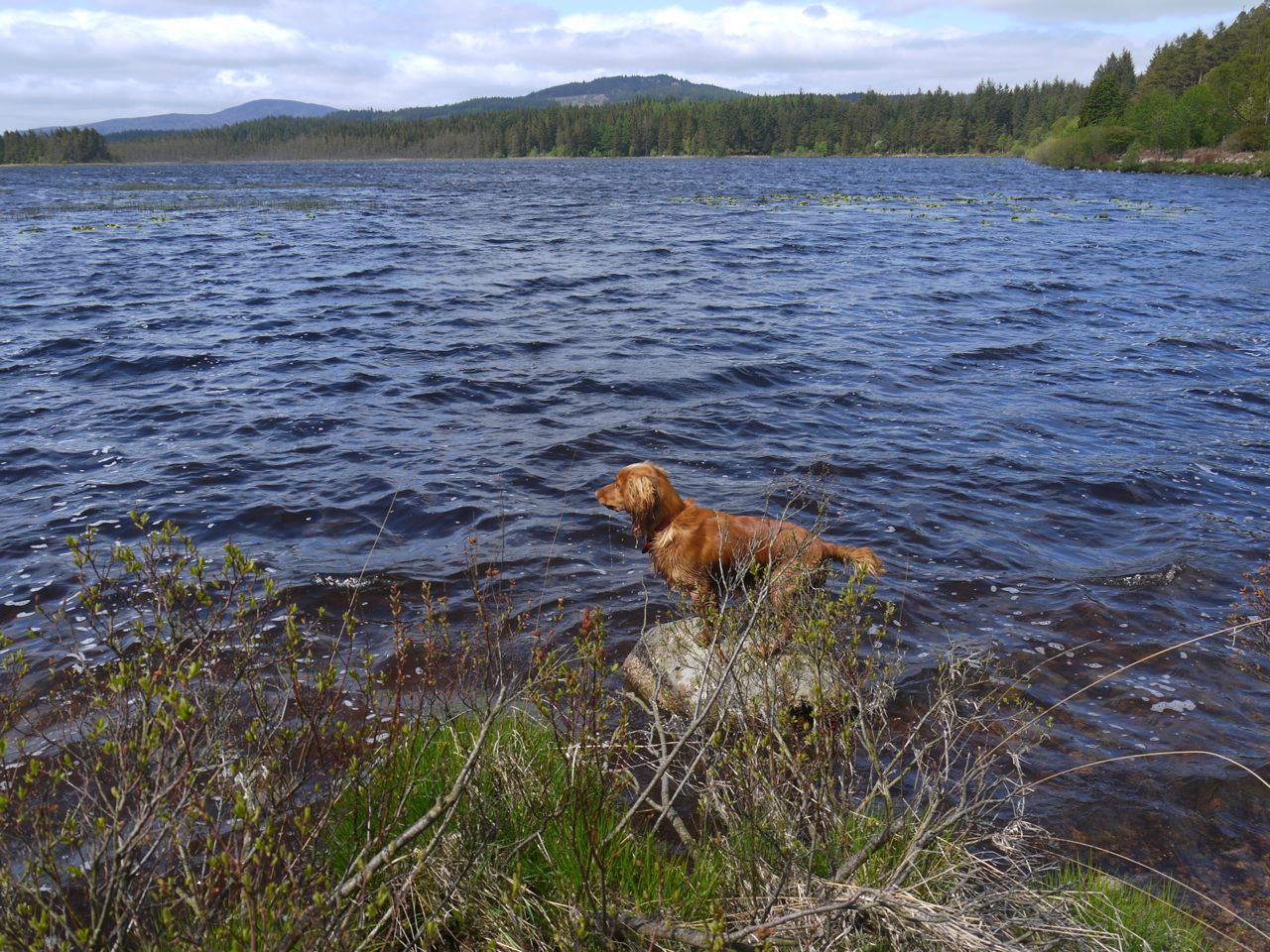
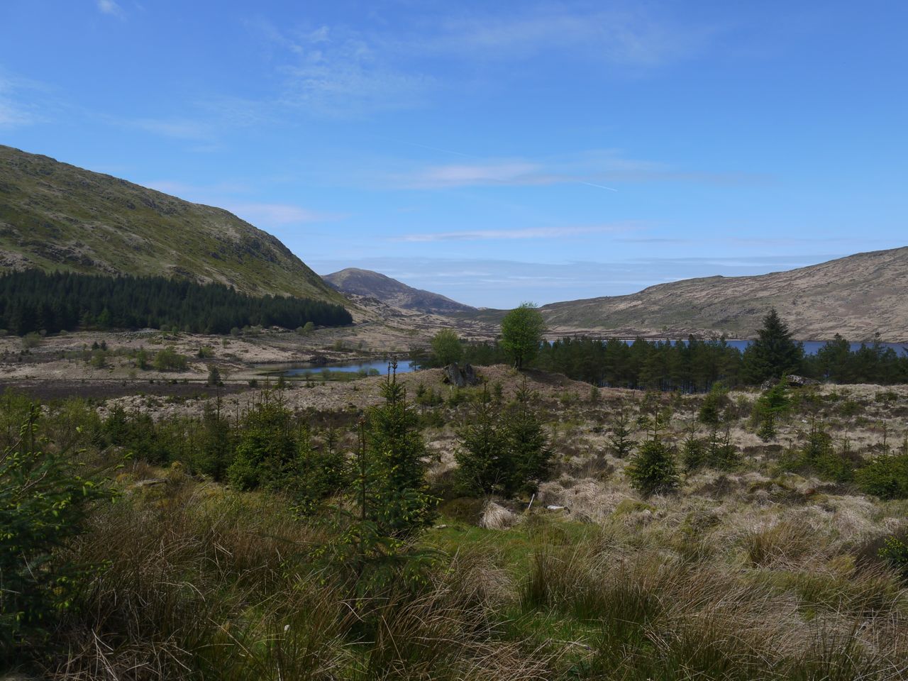
Competing with the hills for aesthetic effect was water, which could I suppose lay claim to have shaped the hills themselves. Loch Dee itself was deep blue when first glimpsed from below Cairngarroch and when looking east from the Rosnes benches, but rendered brown by the reflection of Craiglee on its surface when seen from between the 272m spot height and the Laggan hollow. Standing by the Loch itself, with waves touching my boots, the water took on a recognisably darker hue. Laggan Burn, Green Burn and Dargall Lane flow into Loch Dee and the aptly named Black Water of Dee issues from it. Dargall is said to derive from dobhar (water) gall (literally a foreigner but also a name for standing stones). A lane being a stream that is so slow that the movement of water is almost imperceptible. Dargall Lane is a relatively short waterway, certainly less than a mile in length so it is easy enough to look over its surroundings. The only man-made constructions I could see by the Dargall are the dry stone dyke and a ruined sheep ree. There were no ancient standing stones, the Giant’s Axe Head to the west being a modern addition. This land is though littered with erratics, so perhaps, long ago, some prominent rock was used to indicate this stream. Or perhaps a band of foreigners camped in the valley.
Droughandruie Strand
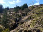
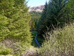
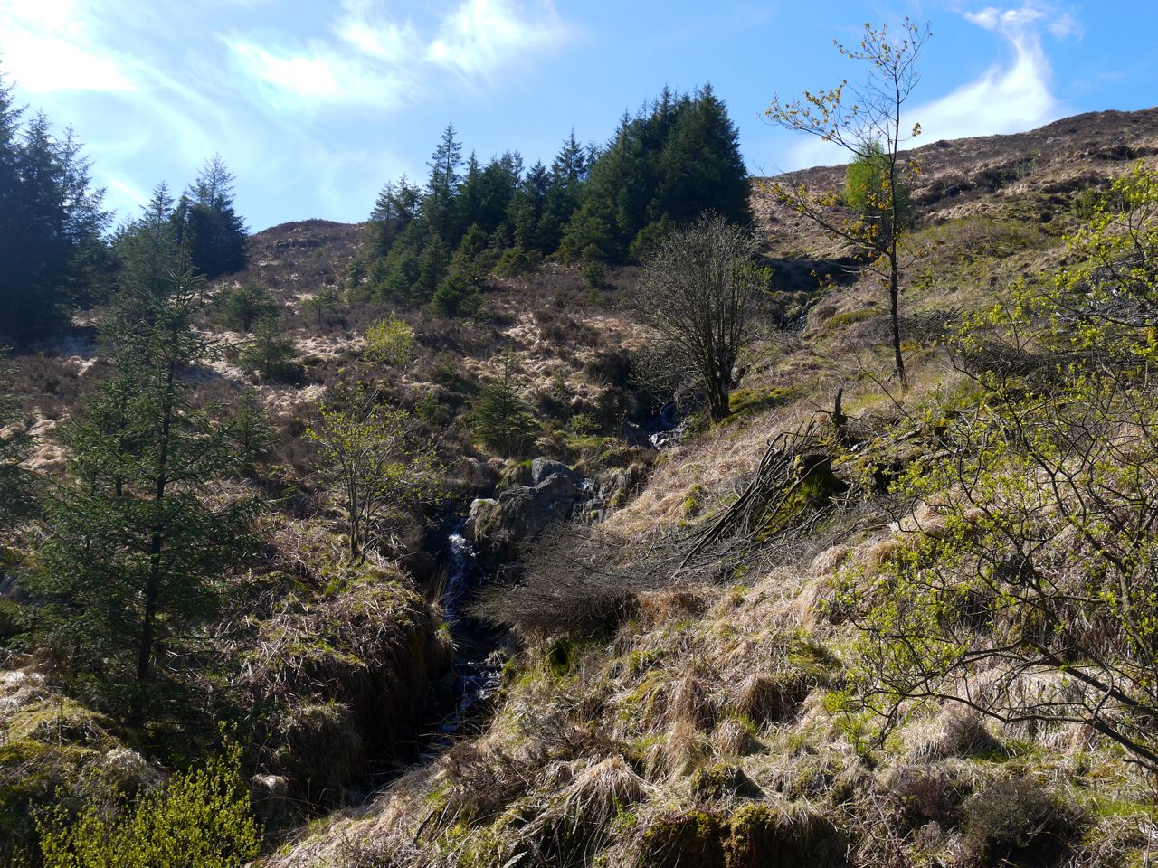
The forestry track took us over three burns and gave me pause for thought about their nomenclature. Such waterways in my youth would have been brooks, whereas Audrey recalls them as becks, but here we were in the land of burns. The Droughandruie Strand,
drochaidh an druidhe, named for the druid’s bridge, tumbled over rocks and waterfalls amongst the heather and tussocks of Cairngarroch’s northern slopes then flattened when it plunged into the forest before joining the Black Water of Dee. The Green Burn was perhaps named by the inhabitants of the hollow in the hills, the Laggan, to differentiate it from the Black Laggan and the White Laggan burns.
Droughandruie Strand
The water of this Green Burn was much slower, its surface smooth and the rocks of its bed easily seen though through water rendered brown by the peat particles it carried. The Laggan Burn had much the same appearance though when I have seen it running higher it carried black water. Perhaps one day we should explore the valley and compare the water to the White and Black Laggan Burns.
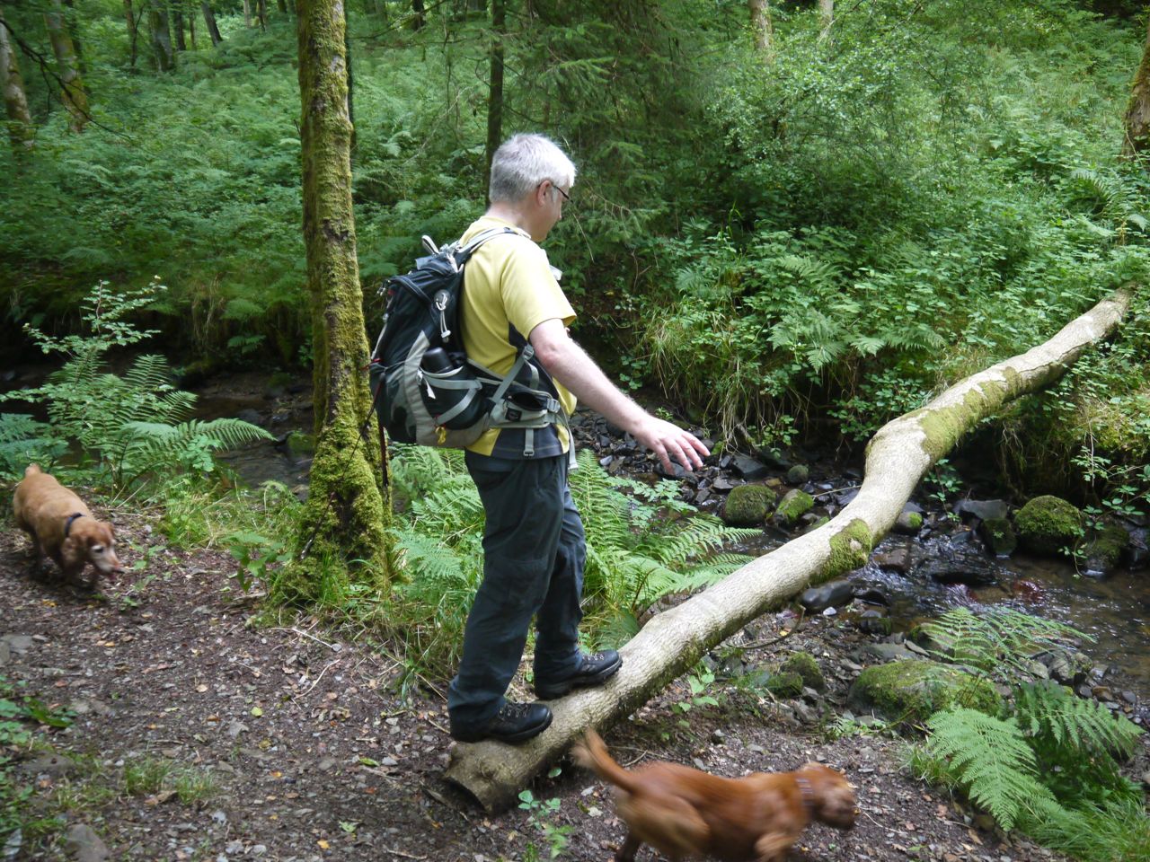
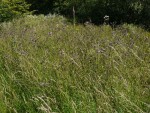
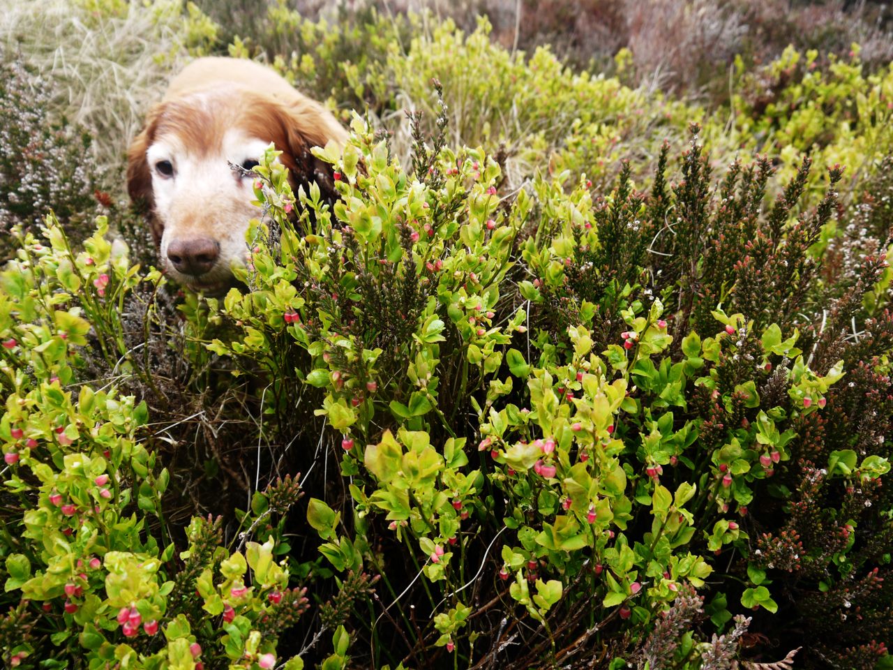
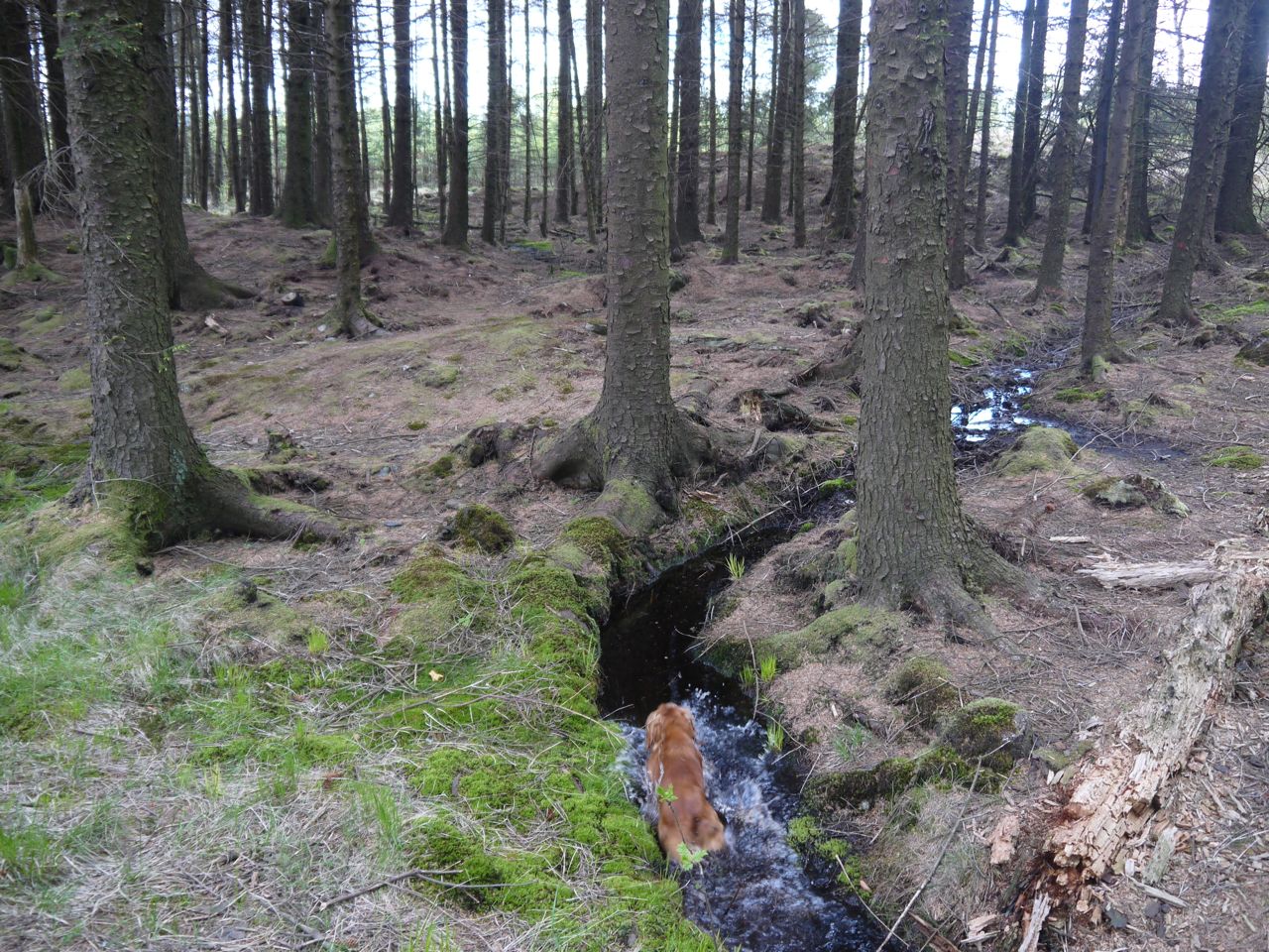
Beside the forestry track, particularly on the side nearer the hills was a shallow drainage ditch. Before the Laggan Burn this was filled with moss and held muddy, peaty water. The dogs kept their paws, and indeed their whole undercarriage, wet and muddy by running through this and they were happy to share this cooling liquid with us with the odd well timed shake. I can’t say that these episodes were unexpected but they did catch me, and the camera lens unawares a few times. After the Laggan Burn the ditches contained crystal clear water with sand rather than peat for their beds.

Cloud above Cairngarroch
And while we consider water we should not forget the sky. We were spared rain and what clouds we had were low level wispy affairs that did not obscure the sun. The day was hot but without the shimmering that can sometimes distort the views.
The middle distance offered us woodland and moorland. Birds flitted from tree to tree, one staying long enough for a careful examination. It looked to me as though it had been grasped about its waist and plunged head first into a pot of yellow paint. Audrey, whose eyesight is better than mine, picked out some more subtle features and back at the car we found it best matched the drawing of a wood warbler.
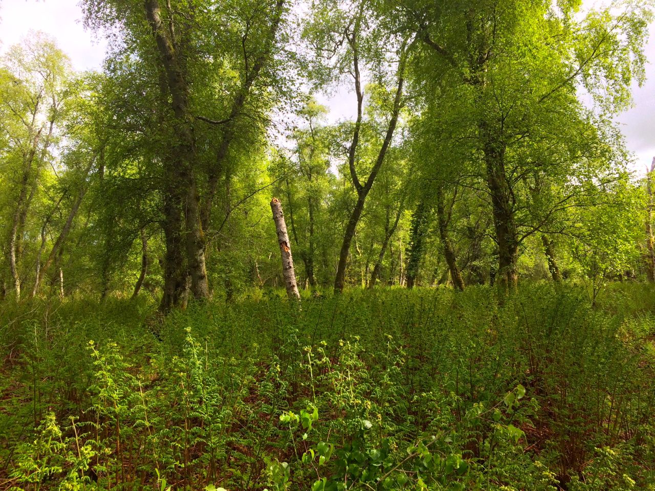
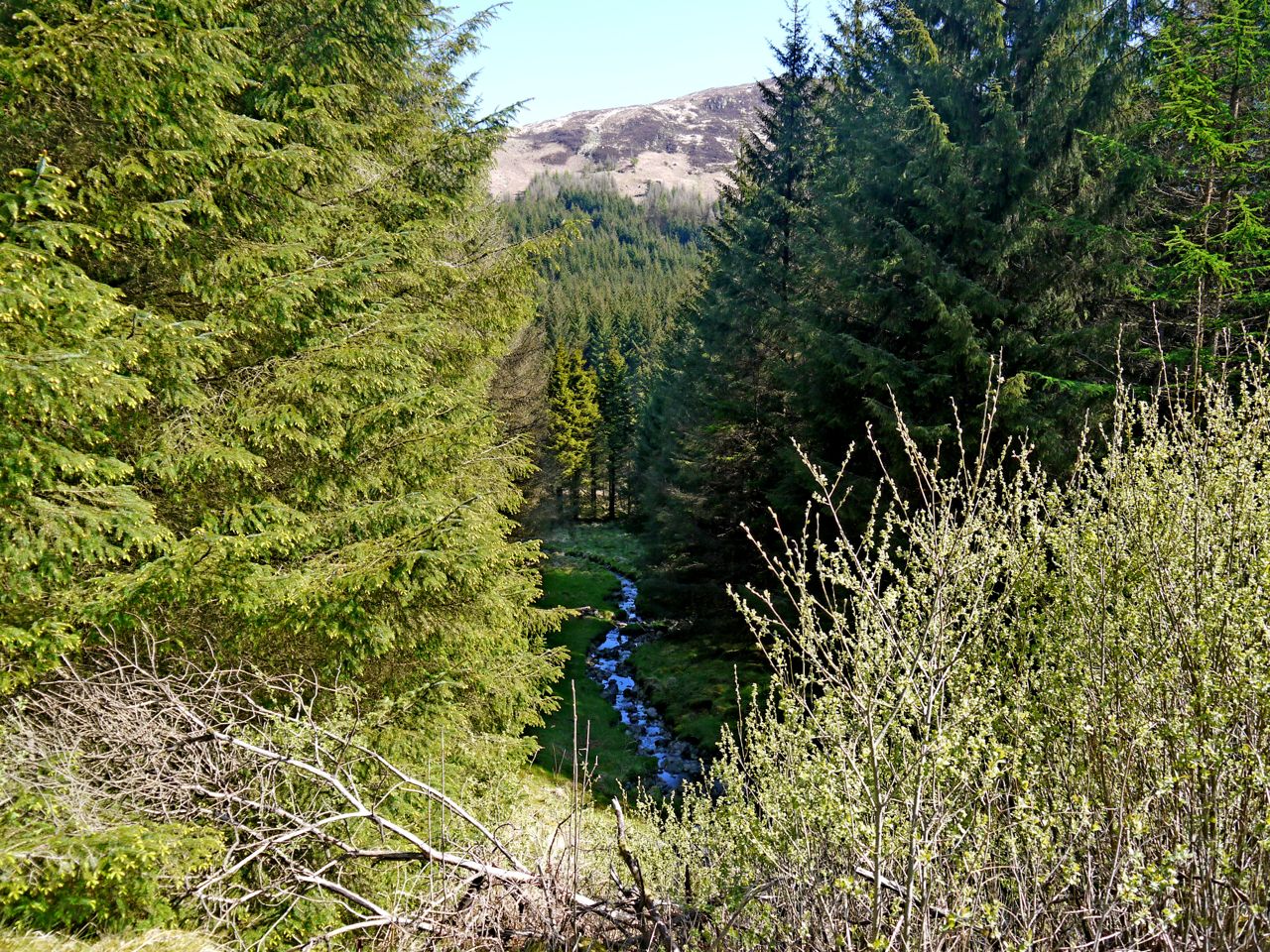
The forestry had been a’felling in the area so in places the curtains of green had been drawn aside revealing the chaos of felled forest but allowing us views of the more distant landscape. I feel a mixture of wonder and perhaps satisfaction with most natural sights, be they trees, heathland, bog, water (standing, running, falling or suspended in the air), rocks, hills and even paths, but I am still searching for the aesthetic pleasure in recently felled forest. Perhaps I need to spend more time in its contemplation.
Looking up the valley between the hills of the Dungeon and of the Kells we had the green and straw colours of cleared forest and darker ground between that and the Black Water of Dee. That land there must have been too boggy even for Forestry use. Even with binoculars I could not tell if its brown colouring was heather or bog myrtle, but I suspect the latter. Beyond the river the higher ground of Ellergower Knowe with its dense forest hides the distant the Silver Flowe.
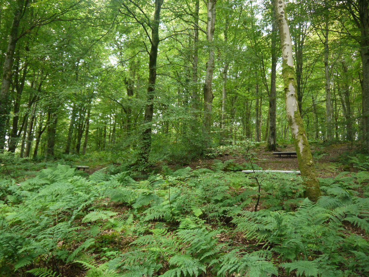
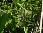
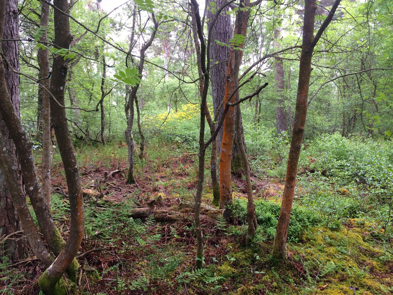
The forests here are mostly conifer but with splashes of deciduous, and mostly younger, trees. These look to be natural growths but having seen the deciduous saplings ready for planting on our last walk I wonder if this natural growth has had a helping hand. More obviously natural though are the trees bordering the conifer forests, many of those along our route were eared willow, I think.
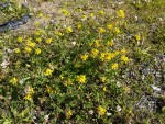
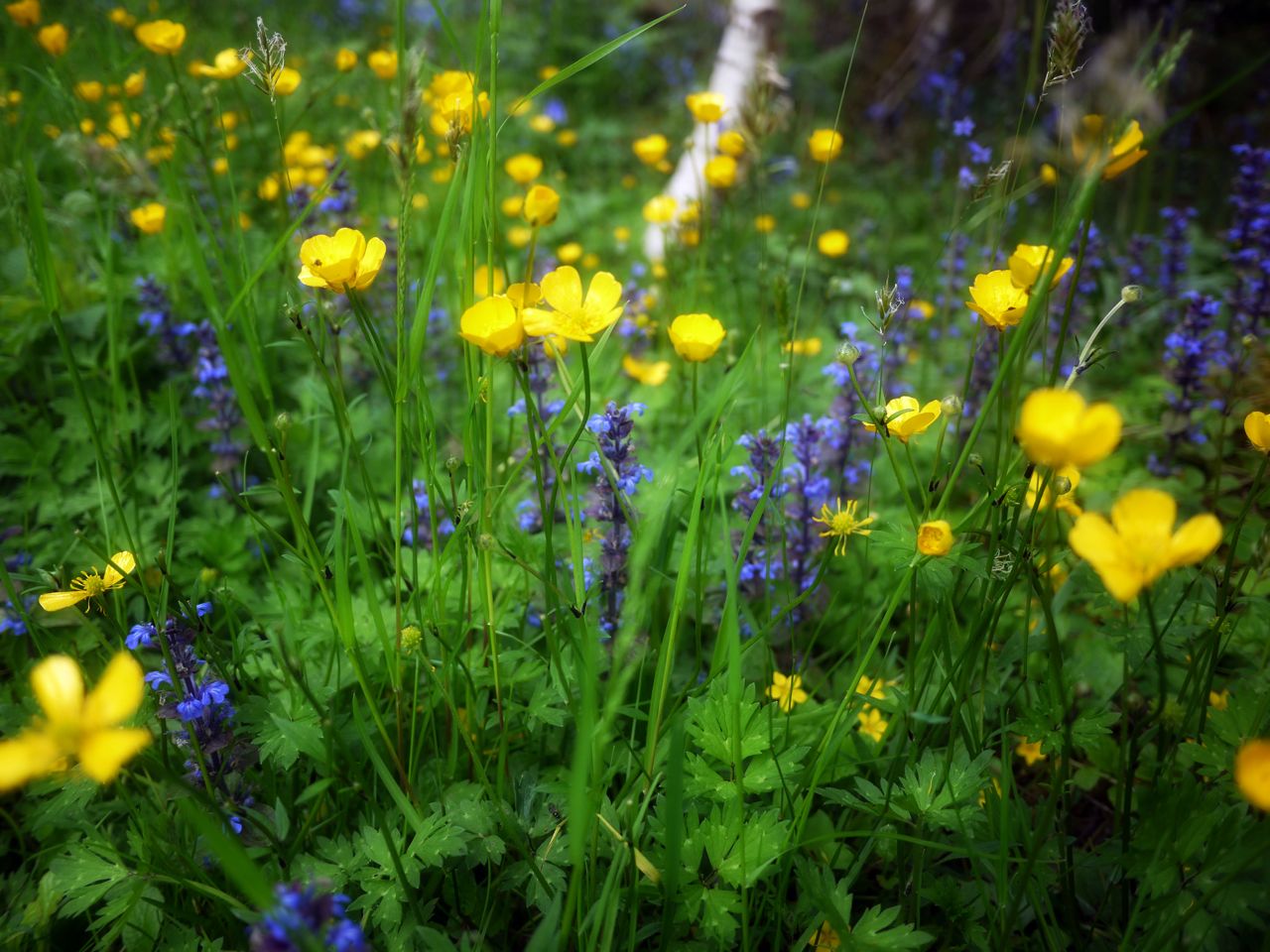
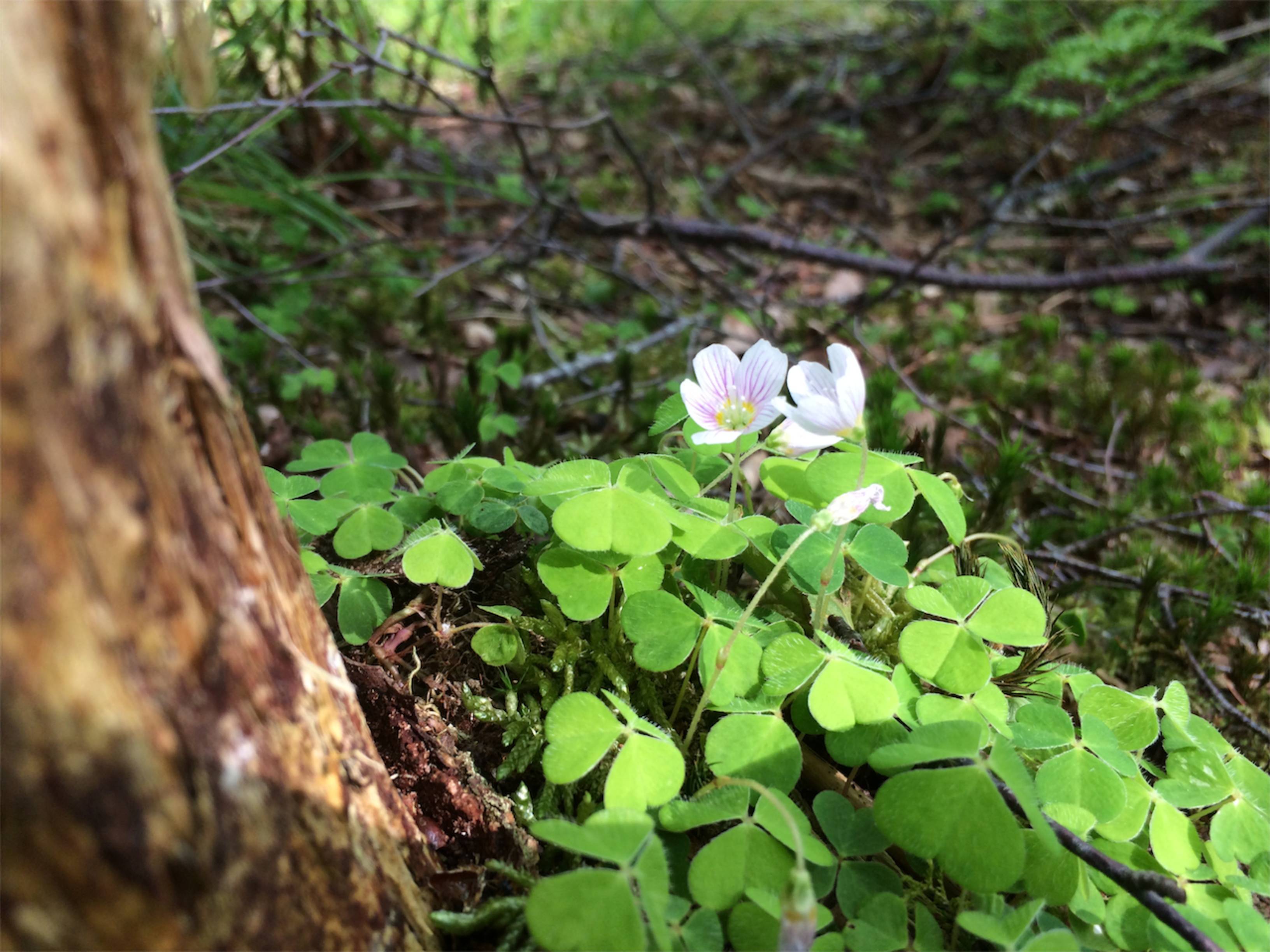
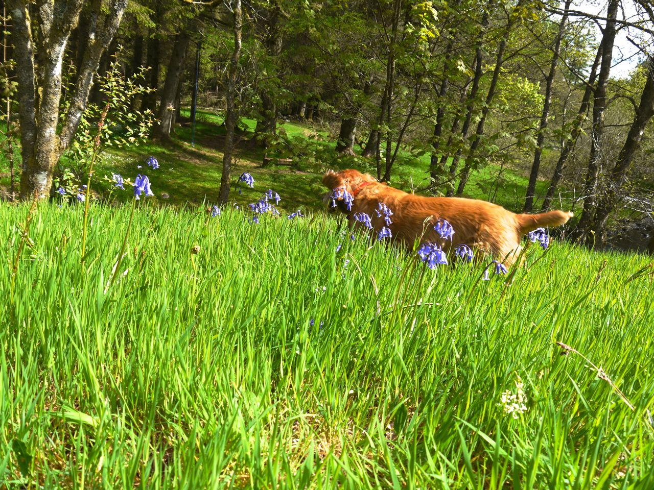
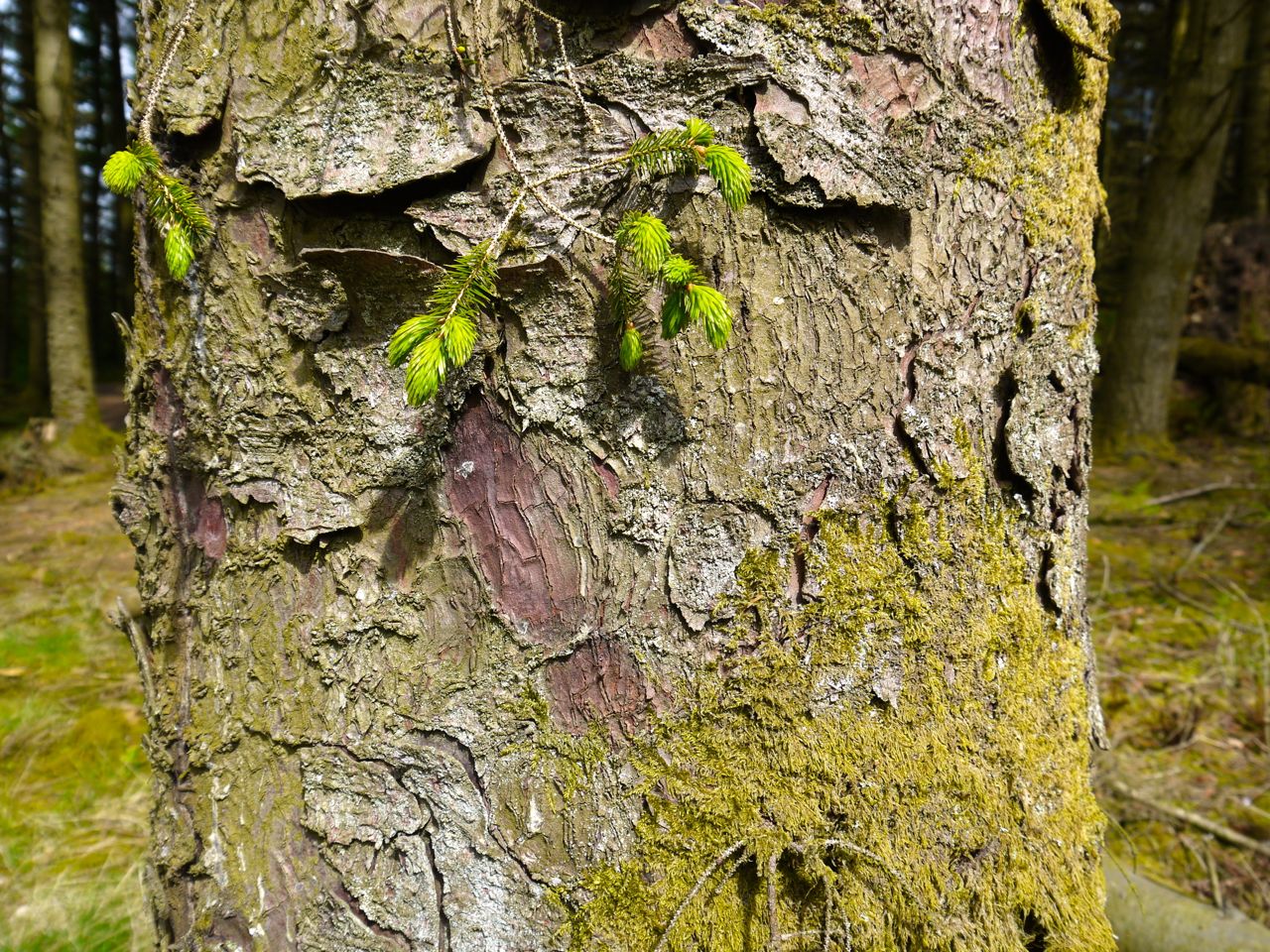
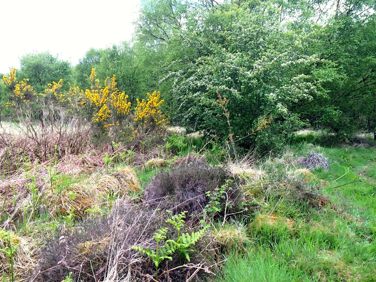
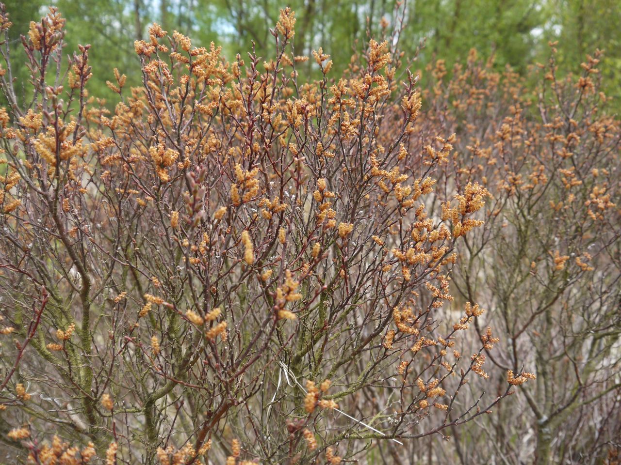
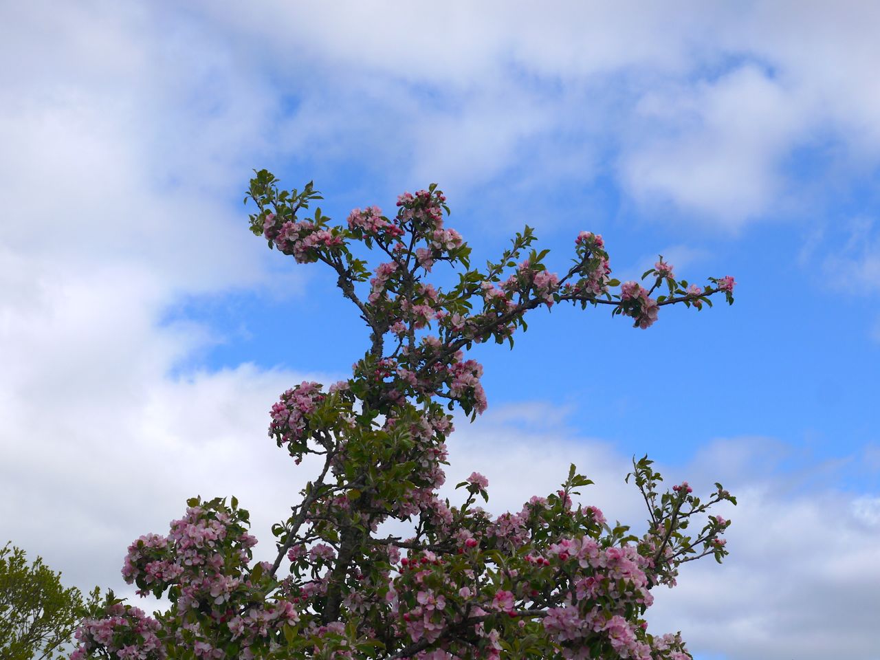
Spring is here
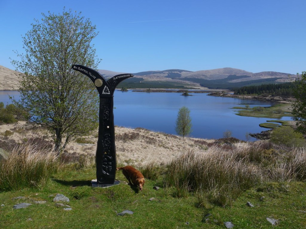
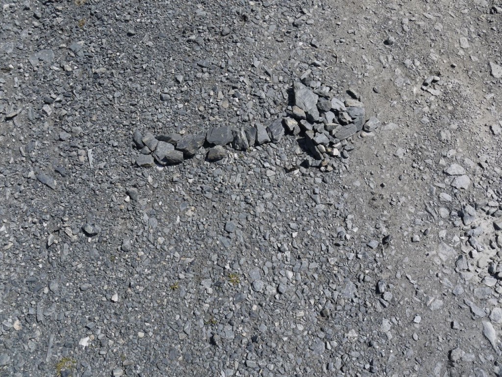
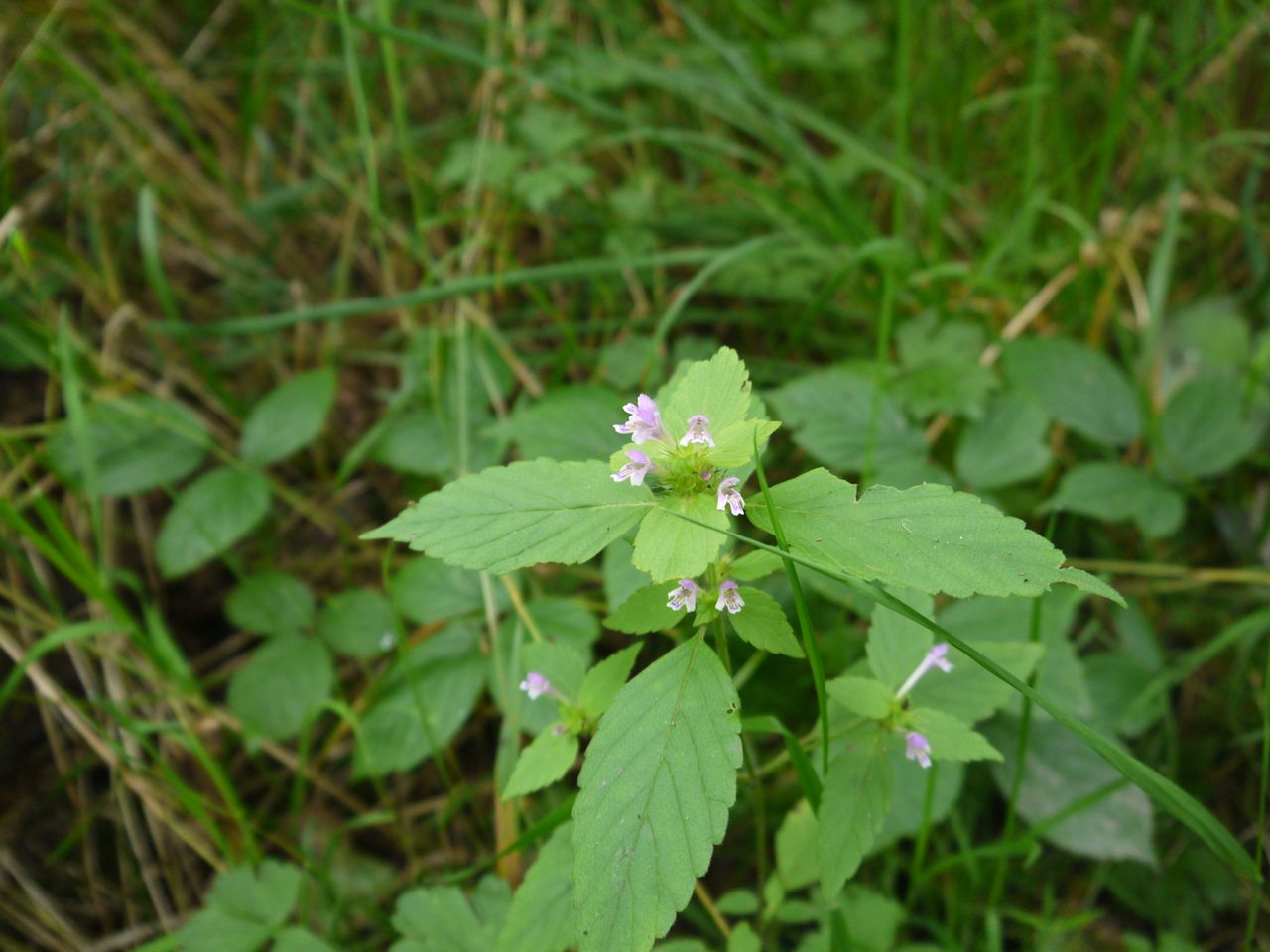
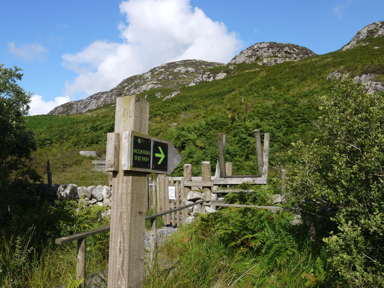
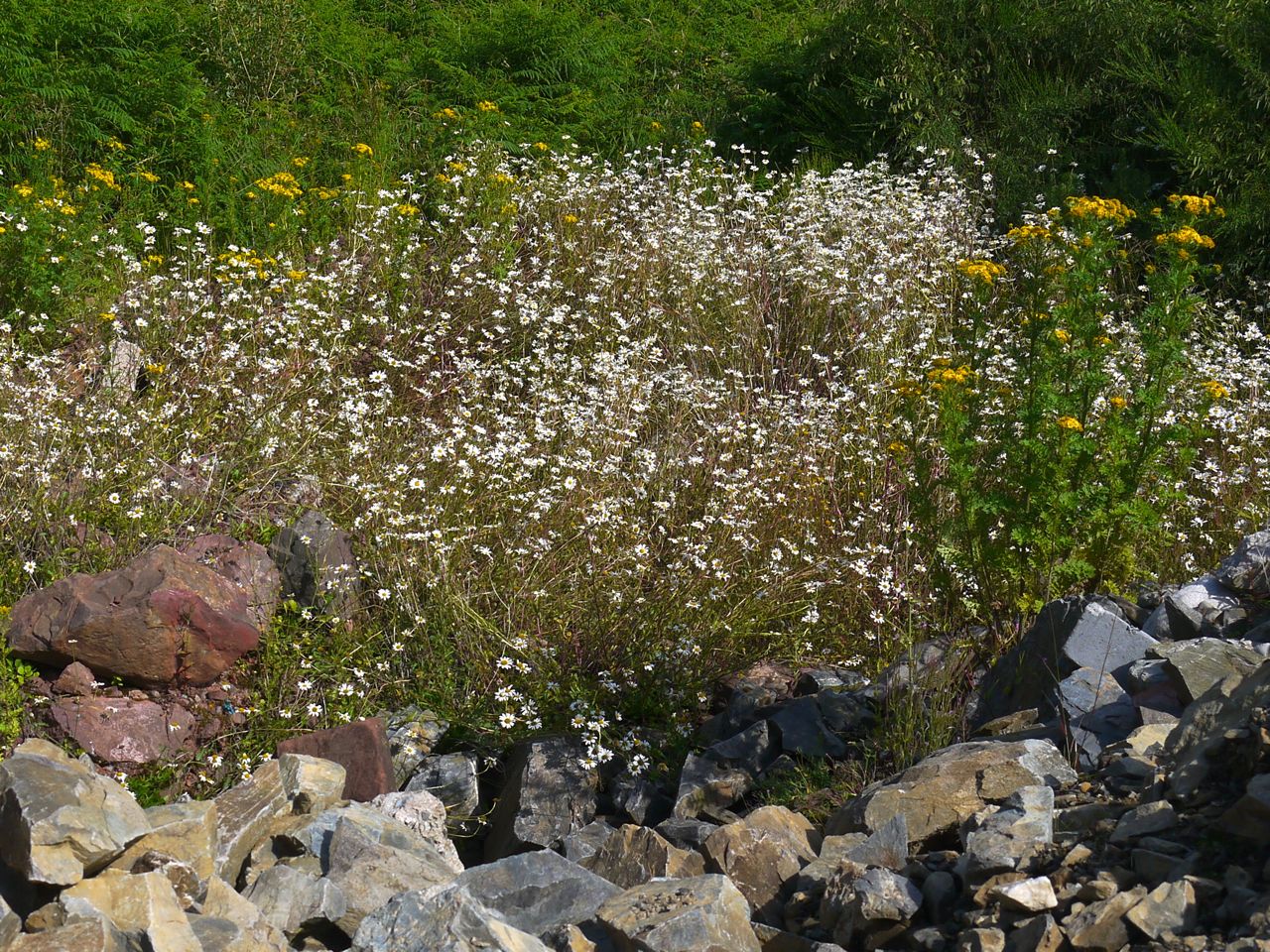
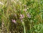
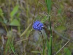
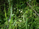
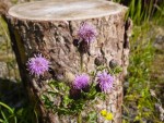
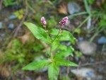
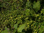
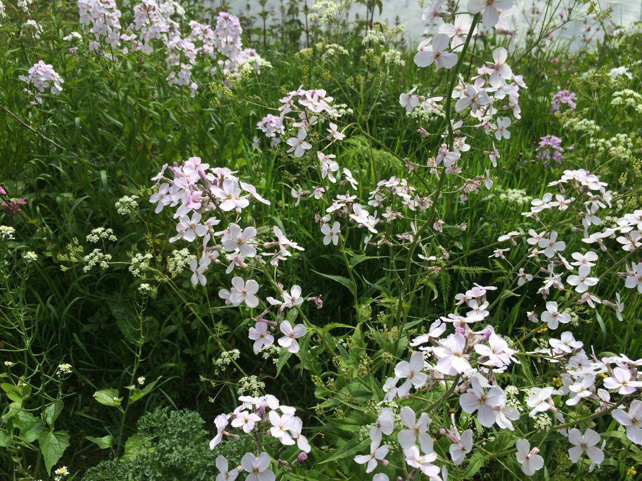
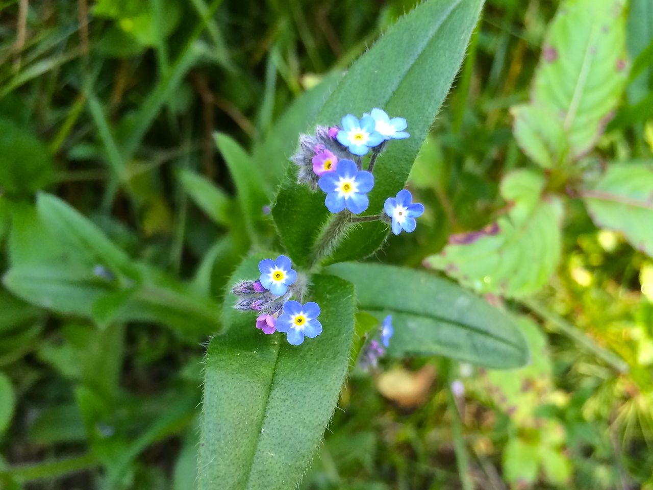
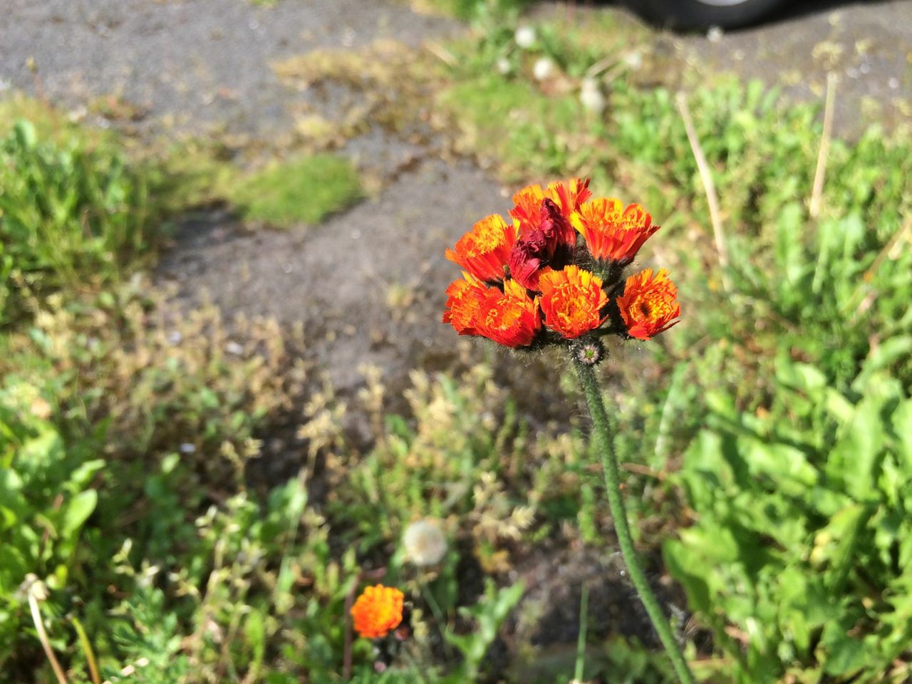
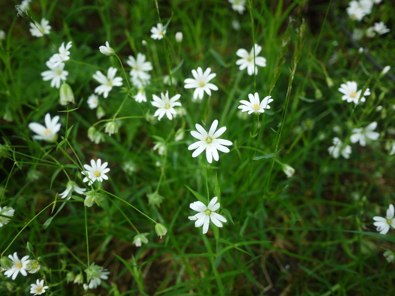
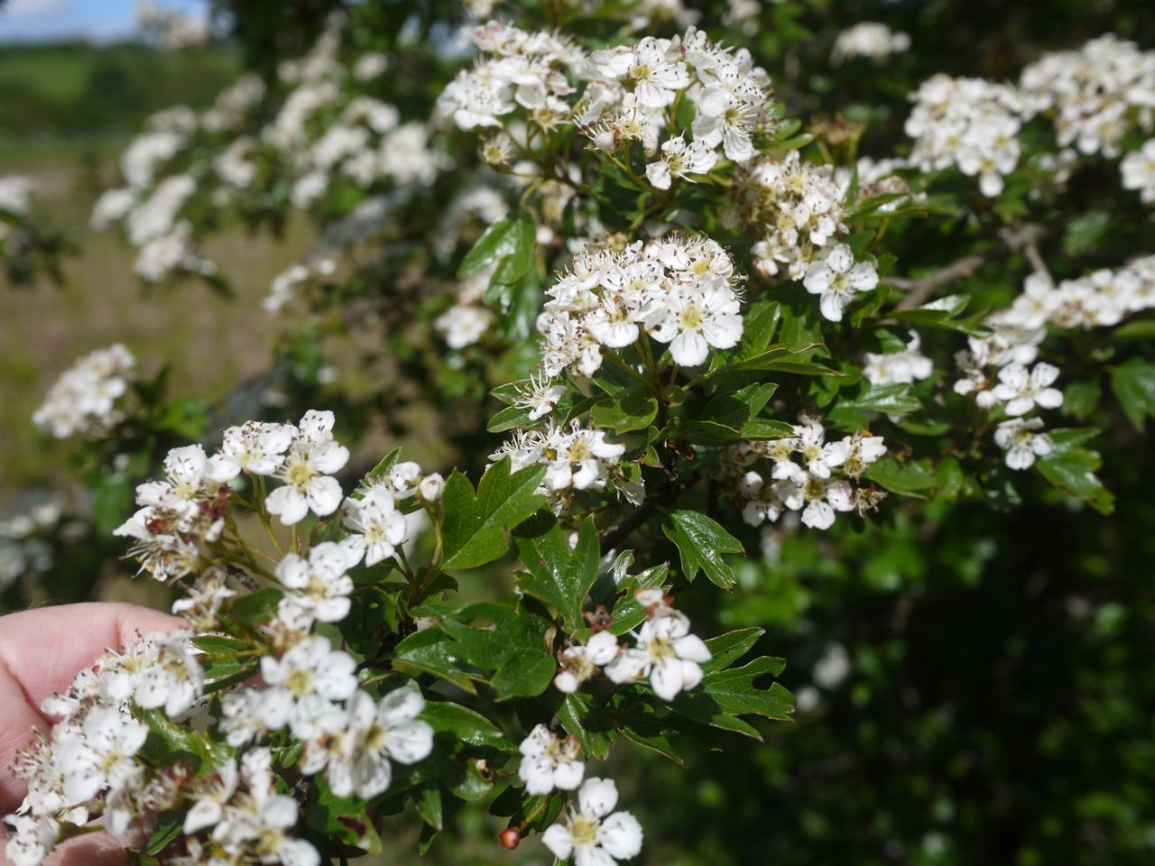
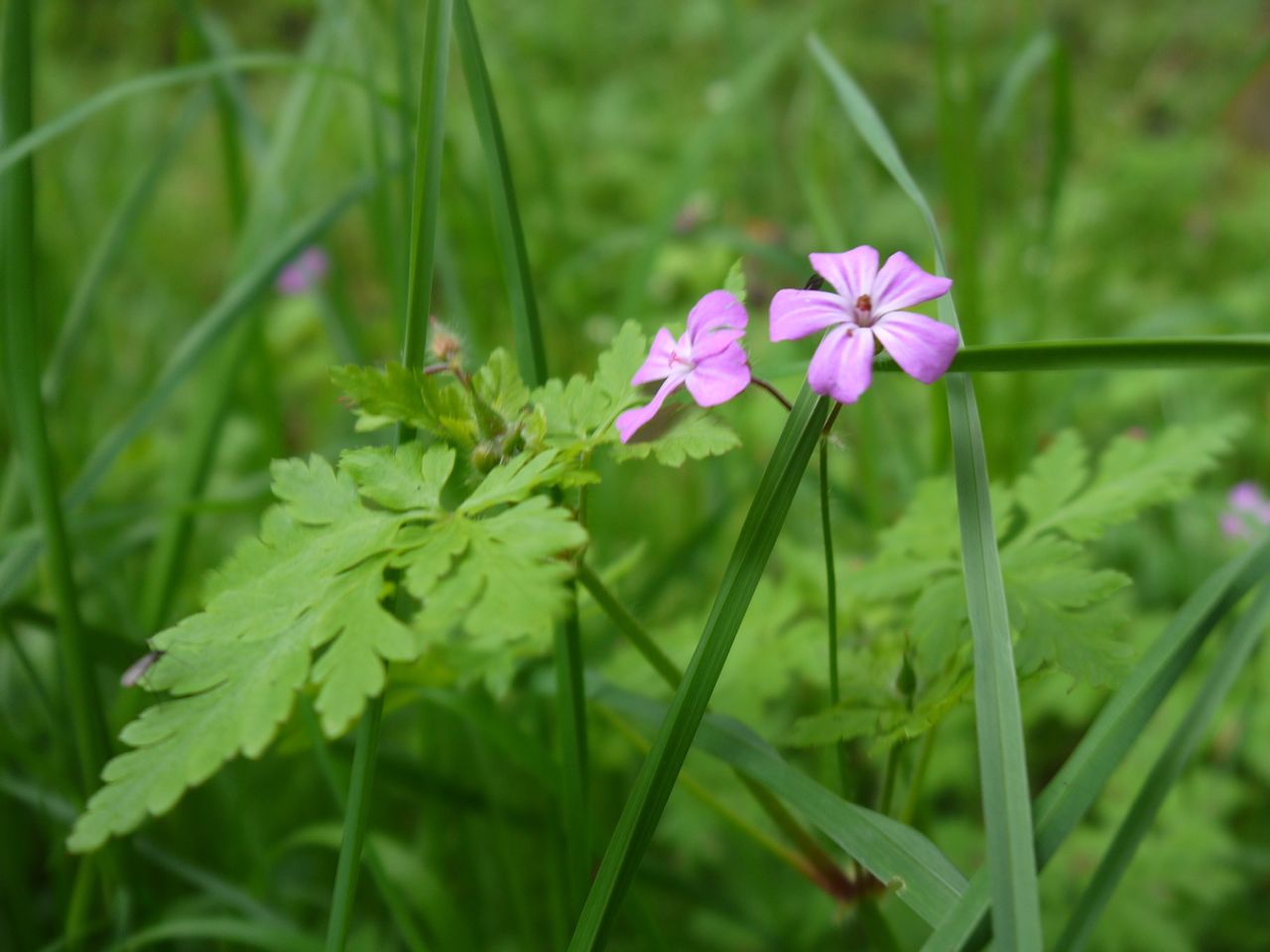
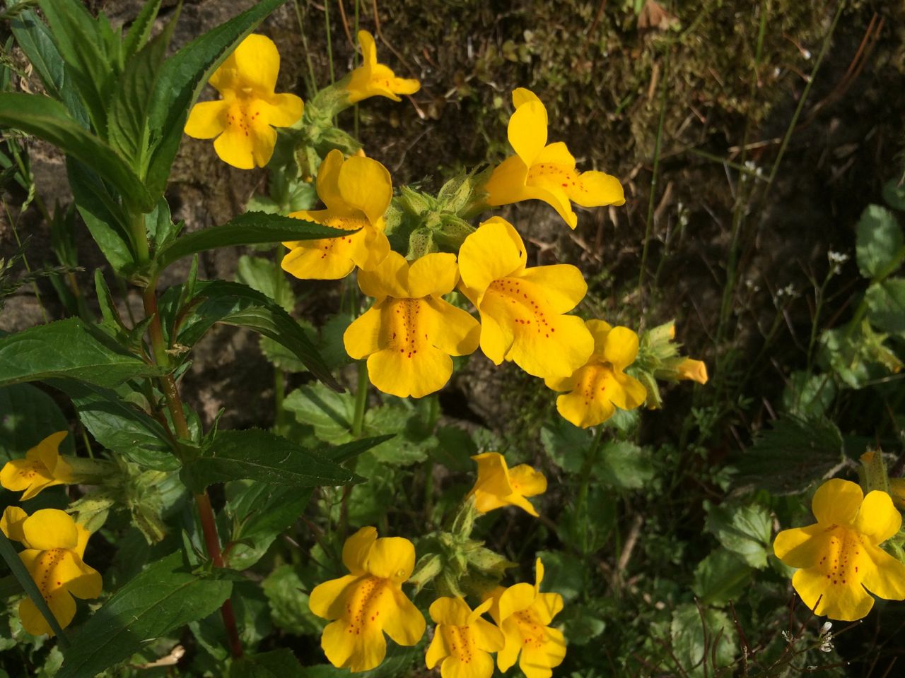
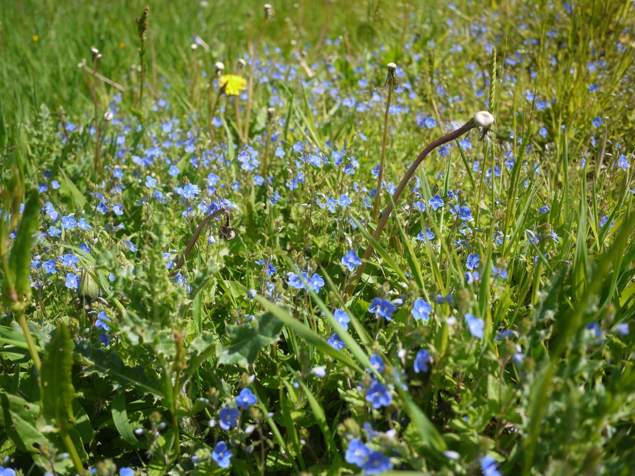
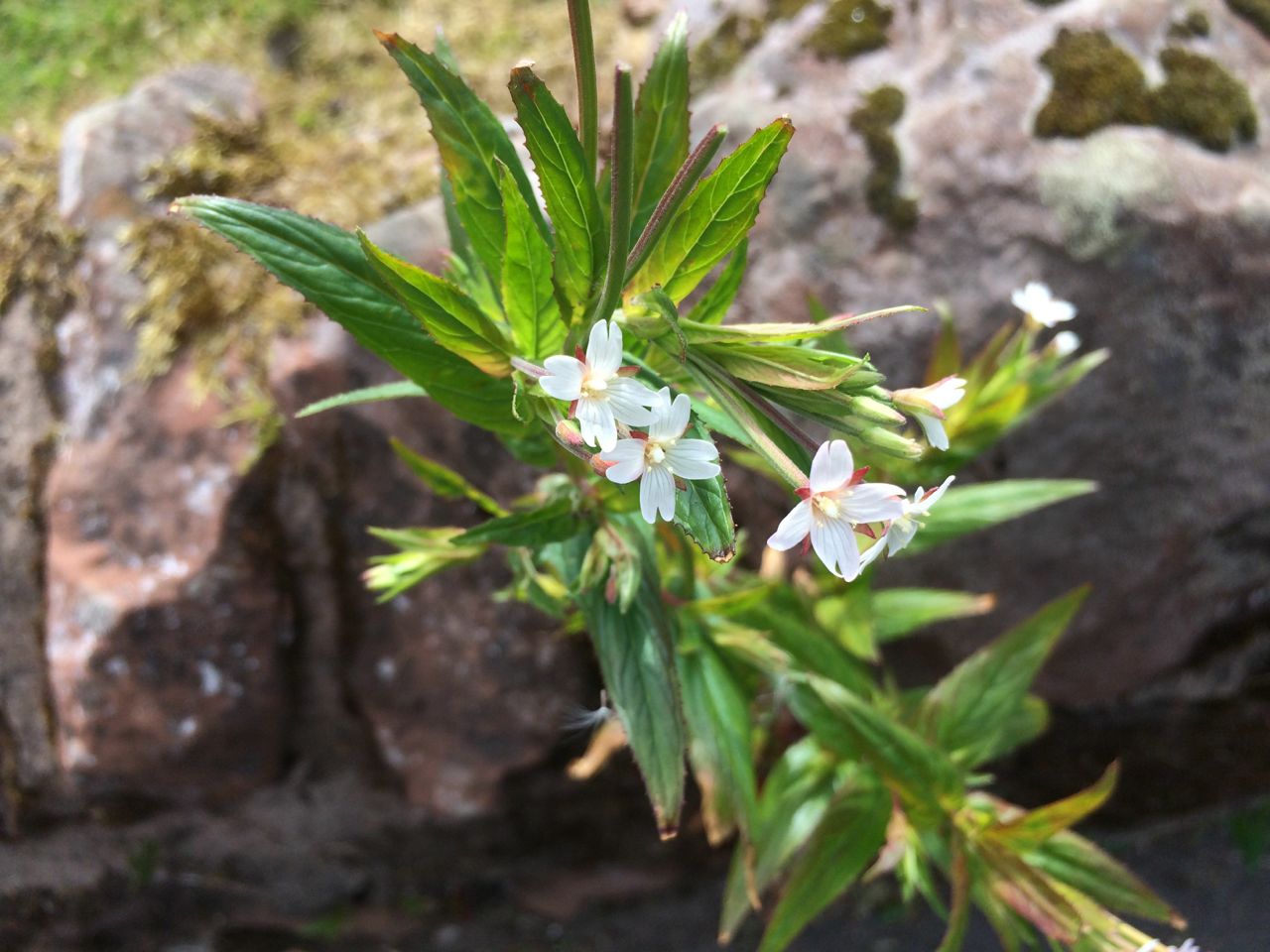
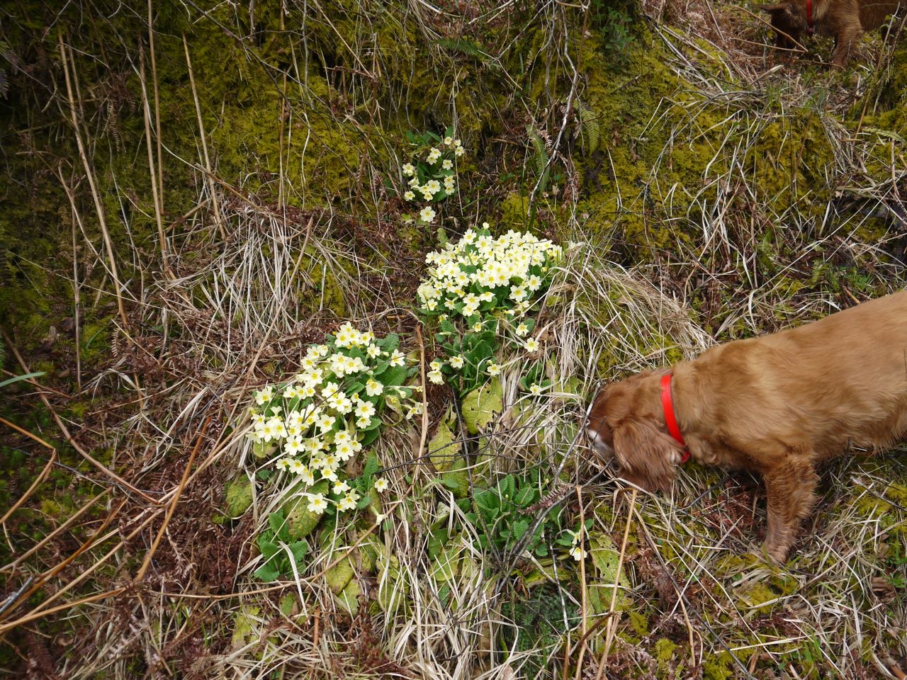
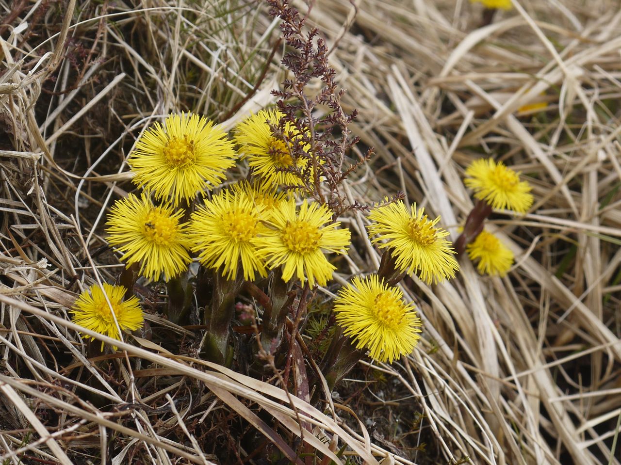
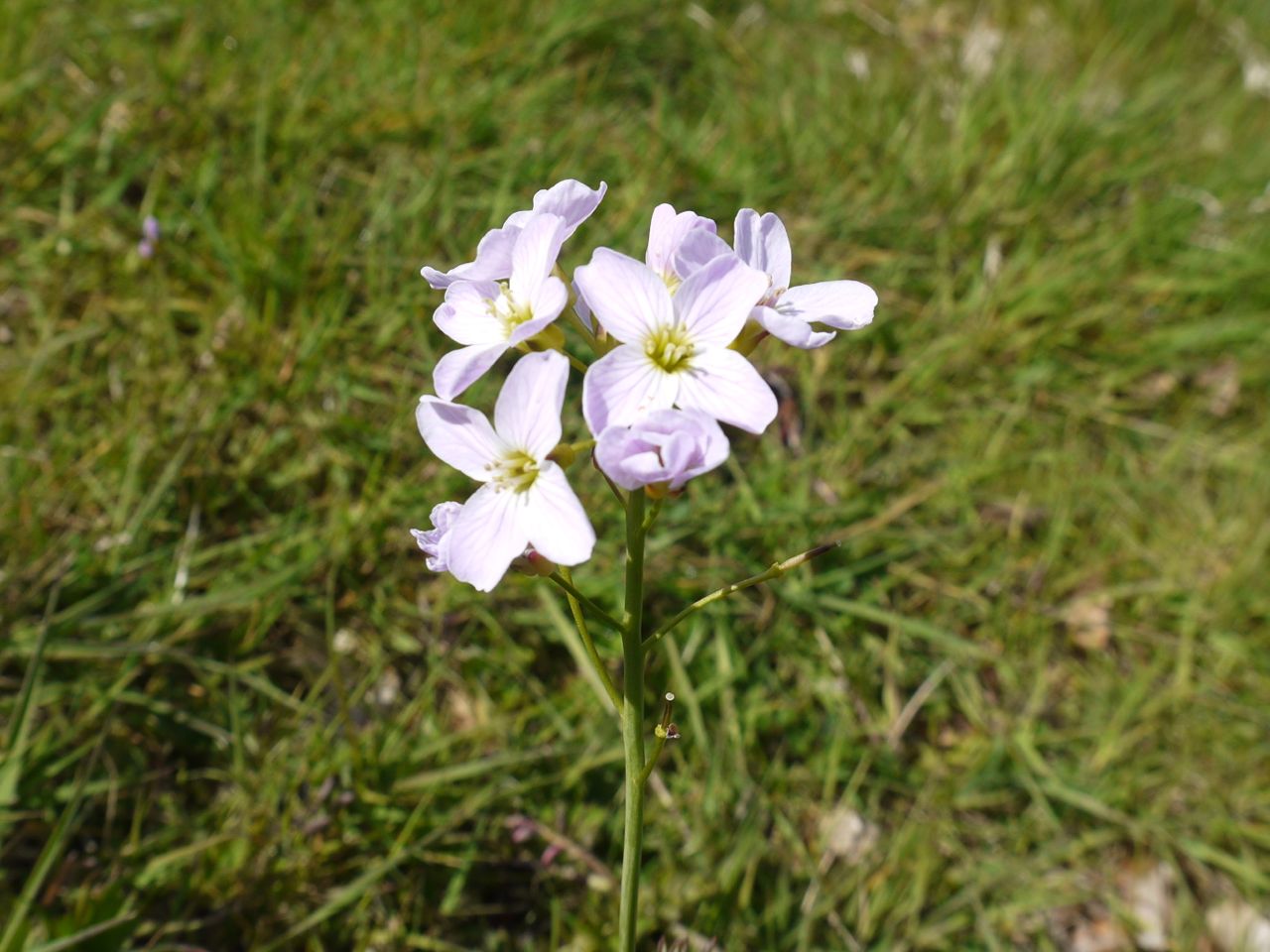
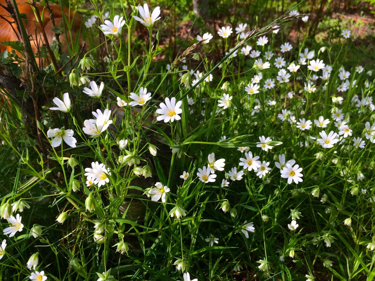
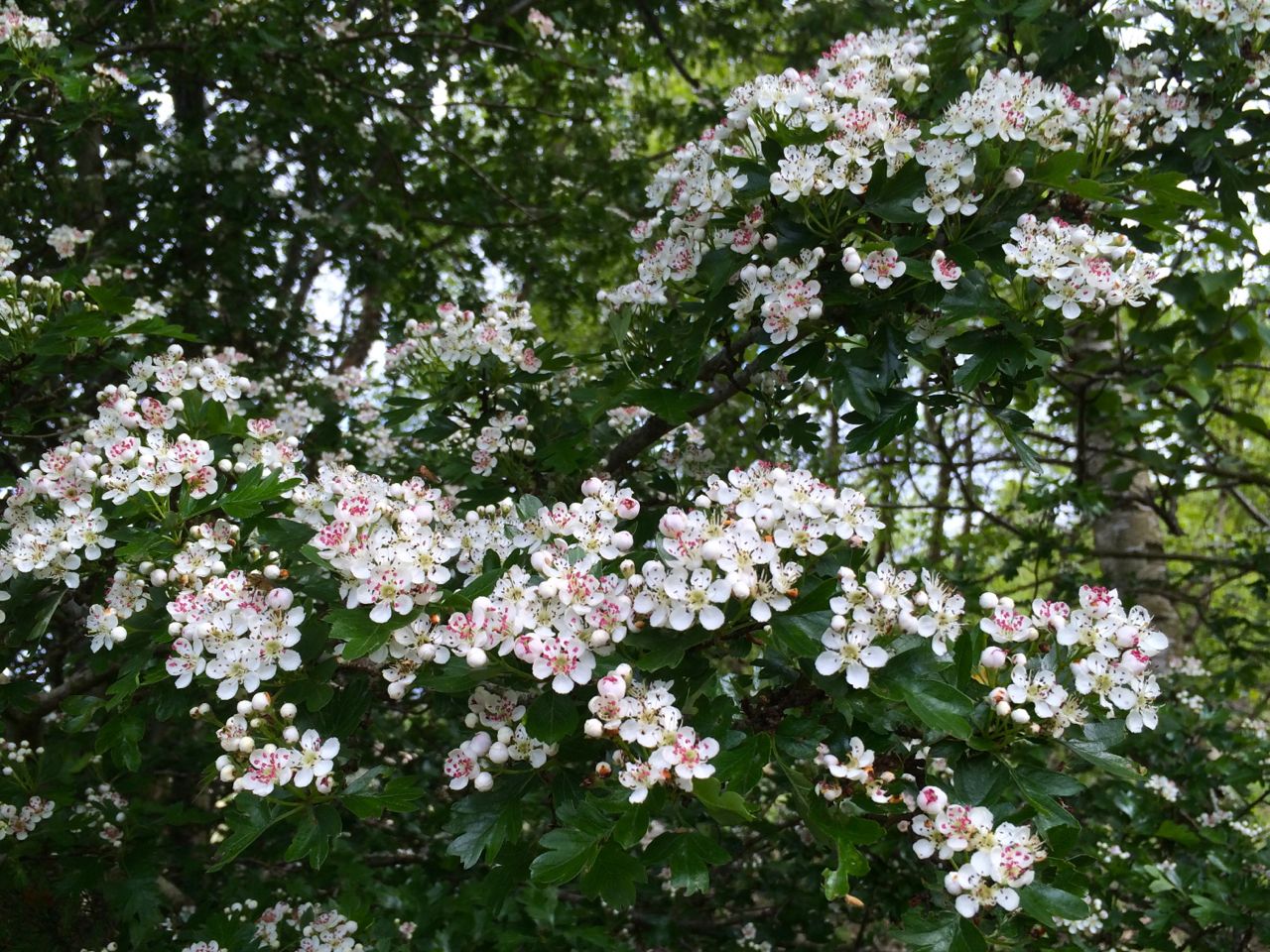
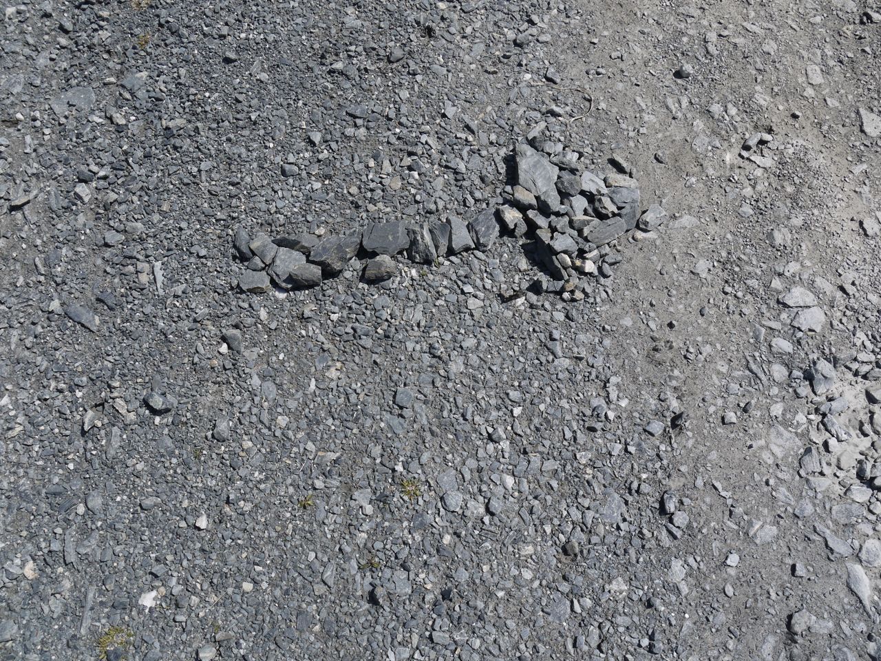
Finally, calling in to use the lower section of my varifocals were flowers, blossom, leaves, rocks and artefacts: a rocky arrow pointing towards White Laggan, a national cycleway sign overlooking the loch, southern upland way marker posts, and Dr Borthwick’s memorial bench. Audrey pointed out that the things I had thought were new cones on pines were in fact a brown skin covering new green growth.
We left the forestry track briefly to climb the small knoll with a 272m spot height on the OS map. This gave us both a view of the Loch and its surrounding hills as well as a taste of the off track terrain: rocky and boggy with tussocks and deep heather. Exhilarating.
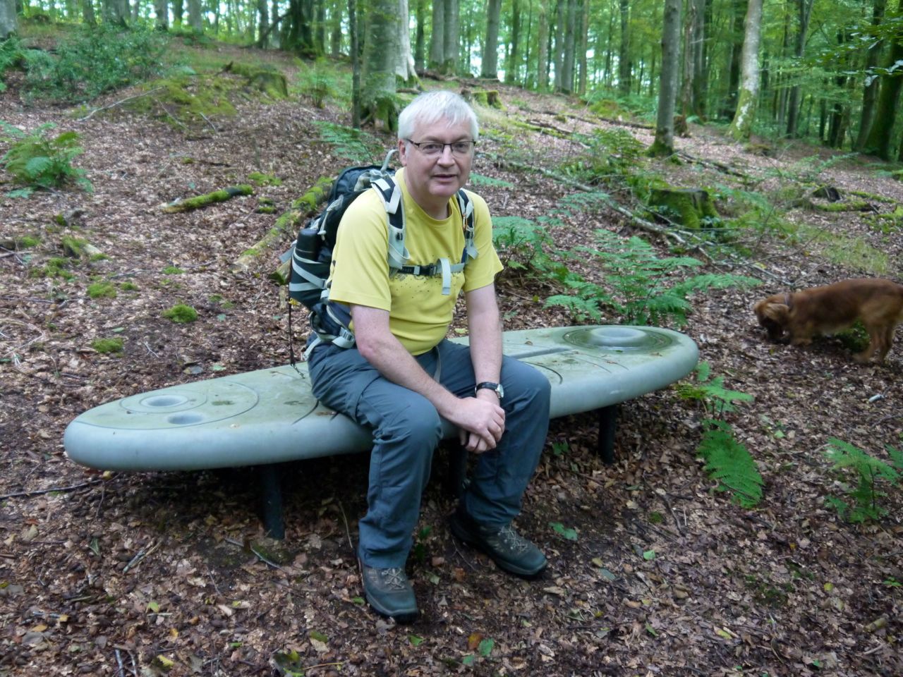
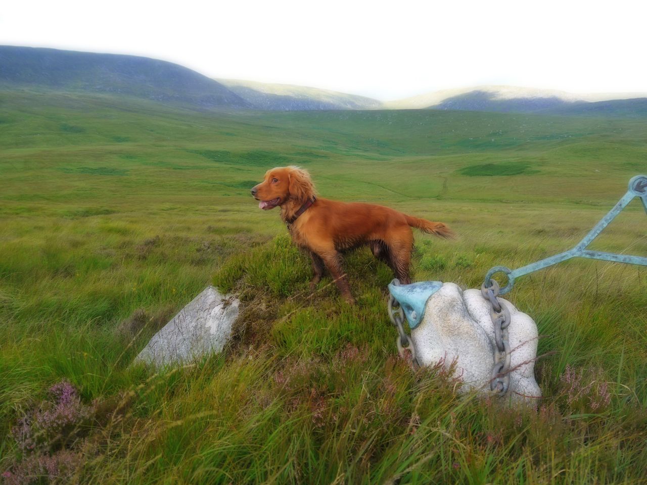
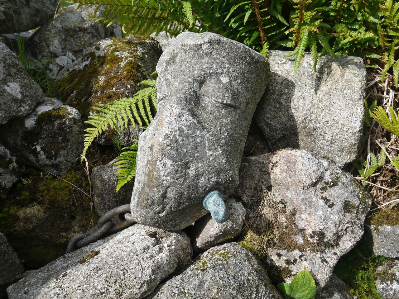
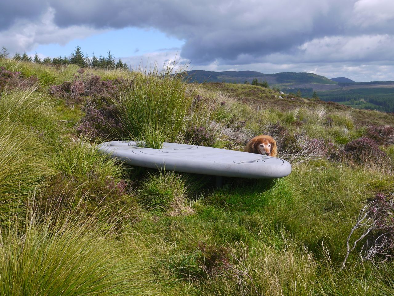
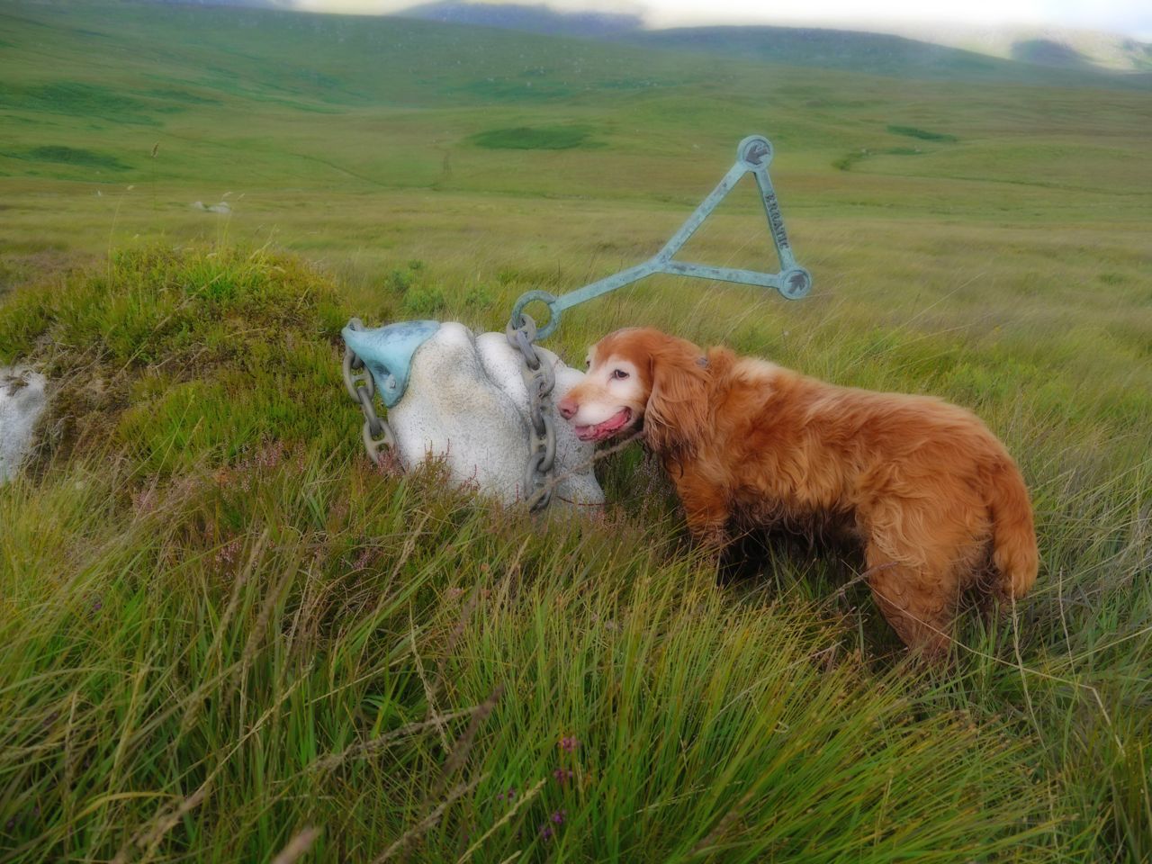
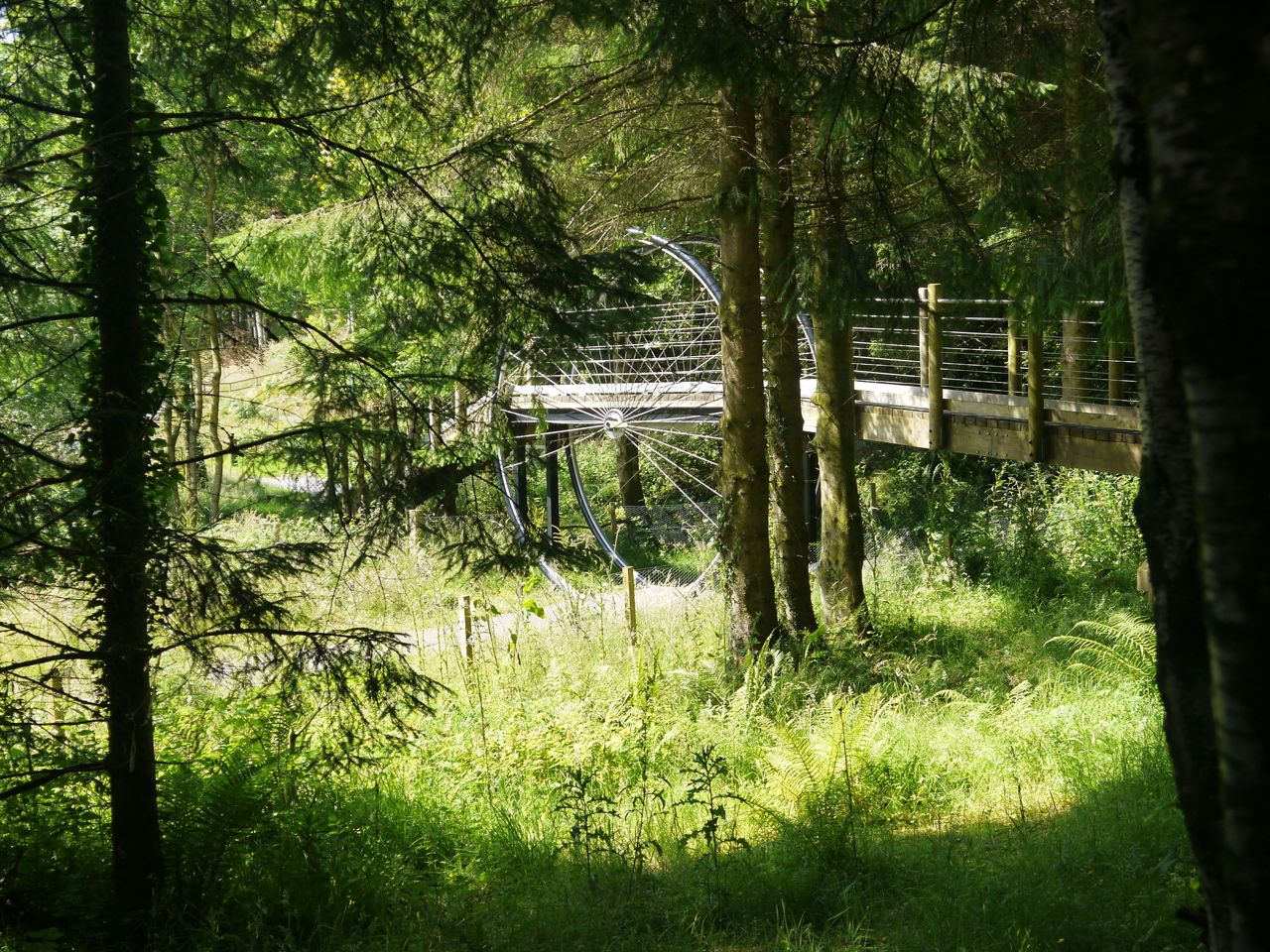
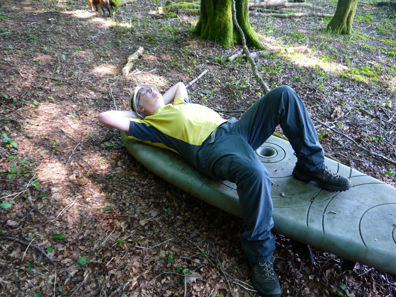
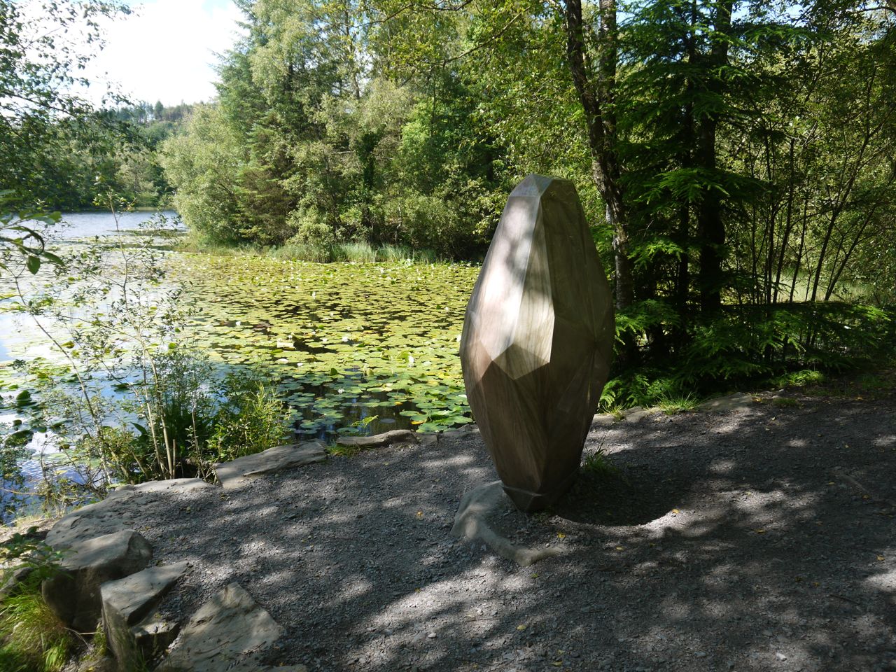
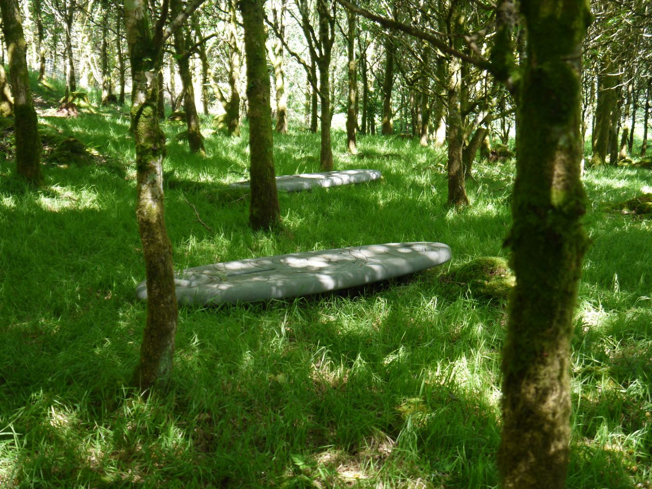
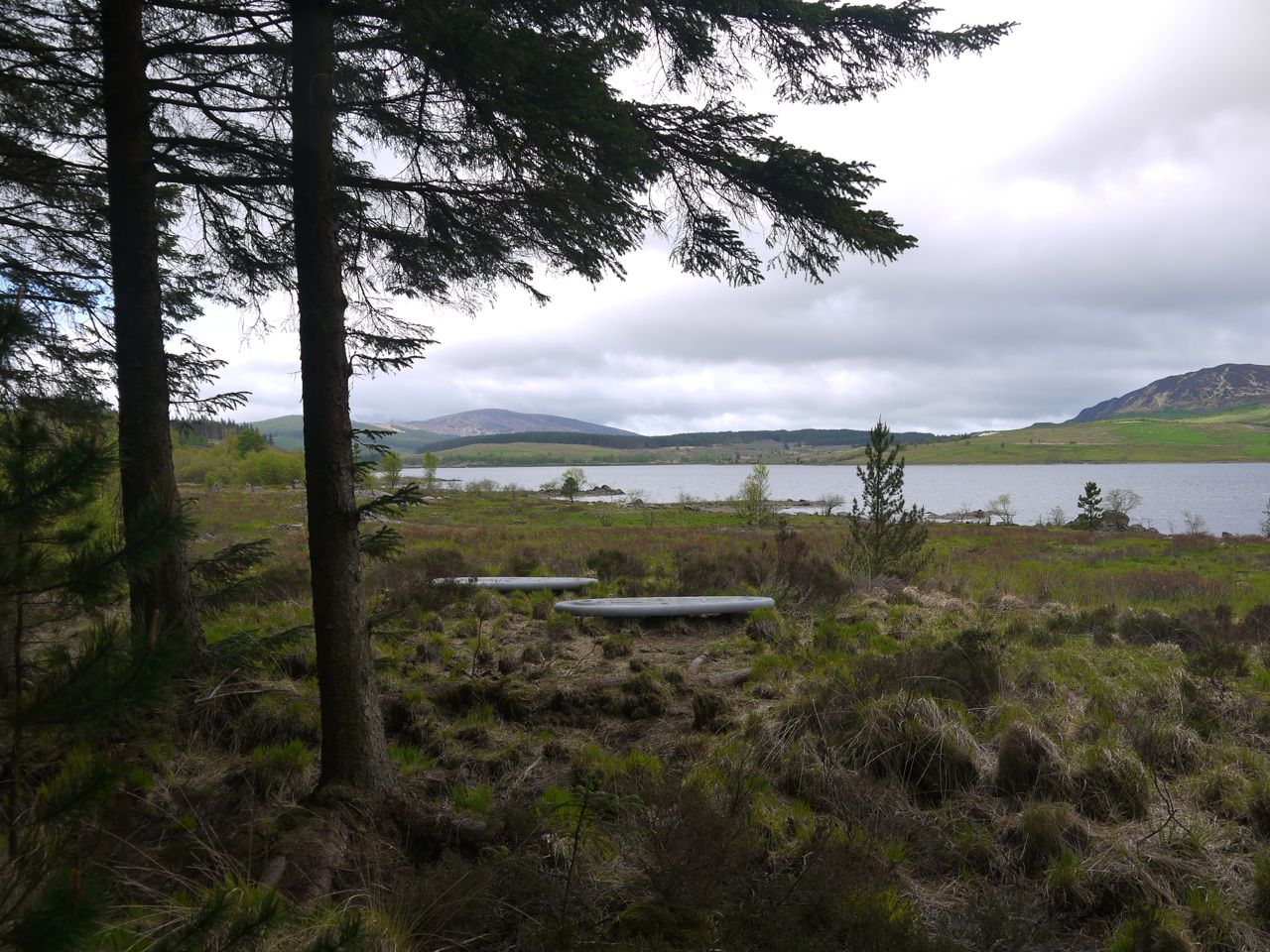
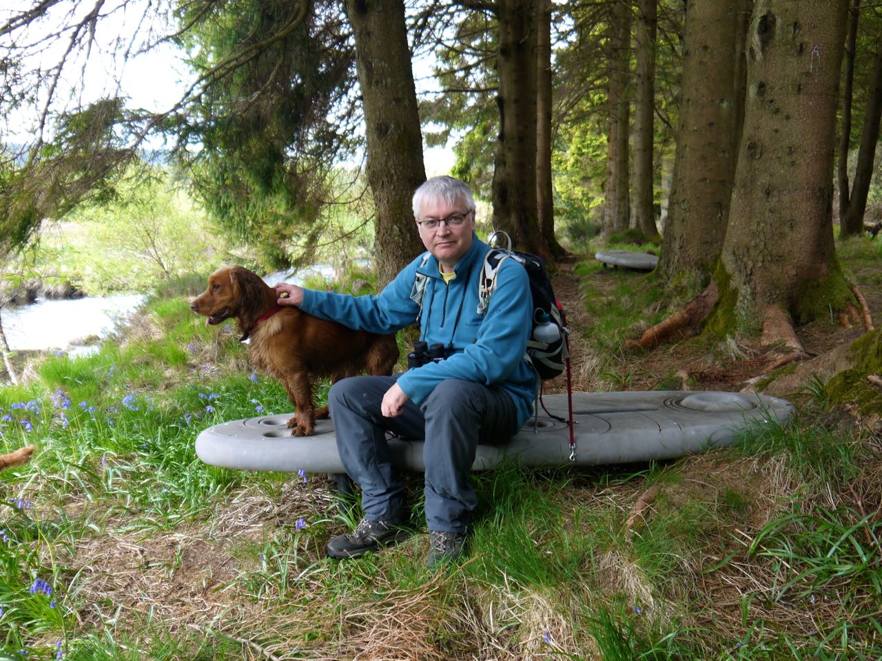
We noticed the Rosnes Benches which looked like two grey surfboards floating on the moors ready to ride the slopes down to the loch. W were intending to walk up to the Giant’s Axe Head, but noticed sheep on the path up ahead. They would almost certainly have left the path for the hillside as we drew closer but it was lambing time so we would have had to put the dogs on leads, so the the Giant’s Axe Head was removed from our itinerary. But we have visited it before. (PS the pup is in a phase of rapid eye movement sleep beside me as I write, his nose and legs twitching as he dreams of chasing birds across the moors. Unless of course his dreams hark back to a lupine time when his ancestors ran down their prey as a pack).
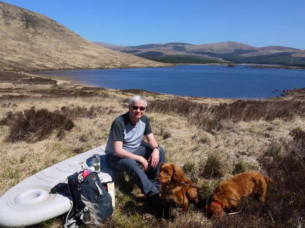
Rosnes Benches at Loch Dee
The Rosnes benches overlook the loch and its surrounding hills and with the glorious weather were an ideal spot for lunch. On the down side, the ground was boggy in places and something activated the dogs’ digging reflexes so our idyllic lunch break was disturbed as we were showered with globules of wet peat.
 Walking back we passed a small group who had stopped for a picnic. They called to the dogs and might I suspect have given them some treats but Sweep doesn’t like strangers and kept his distance. Eddie bounded excitedly towards them then got frightened and ran away, but encouraged by them, repeated the cycle several times getting closer each time. Eventually though, at about 2m from them he couldn’t bring himself to get any closer and instead barked, jumped away, jumped back, barked again etc. much to the group’s amusement.
But sight is not everything.
Sound is so easily overlooked, but two sounds on the walk were important enough to make me wish I could have captured them in my photos. Firstly, birdsong was with us throughout the day. Cuckoos were calling throughout the day and we heard a greenfinch from a stand of trees then heard it from the same trees on the way back. Of the bird songs I could not identify one was pyu-pyu-pyu which I think could be a wood warbler. We saw a bird that would fit the bill but wasn’t making any calls itself. Most of the bird calls we heard were thin with a quality similar to that from a small radio but sometimes the birdsong sounded as though it had come from a top end sound system, with a much fuller quality. Perhaps it was a different bird, or perhaps it was the weather/wind/air pressure. One bird early in the walk kept calling “Swee” to Sweep. I was trying to mimic this so I could remember it for later and each time I said it Sweep would turn to look at me. My research tells me that Chiffchaffs call “Hweep” and listening to recordings I’m pretty sure that was it.
The second sound was water, the sound of running water from the Droughanduie Burn and the lapping of the waves on the shores of Loch Dee, the latter spiced by the call of a distant waterbird.
As we approached the Laggan on our return journey, looking down to the burn itself with some distant sheep, we heard the chirrup of crickets/grasshoppers. The sound was not as prolonged as that of a grasshopper warbler and was just like the sound of cicadas from mediterranean holidays. I can’t say I’ve ever heard one up here before and on hearing them my mind was transported instantly to Portugal. But apparently they are pretty common. Perhaps my ears haven’t been tuned in to them before.
But there is a more powerful and pervasive sound that is so easily ignored. The silence of a forest is not the silence of an upland moor or the silence on the banks of a still loch. Each place, and each time, will have its own noises, the lapping of waves on a shore, or the creaking of trees in the wind, and to these we bring our own: the tread of a boot on heather, the panting of a dog, the creak of a rucksack strap, or the rustle of clothing, and each is modulated by the environment rendering them subtlety different when heard amongst trees, in heather or at a loch-side. These differences are difficult to appreciate but we are I think aware of them at a subconscious level.
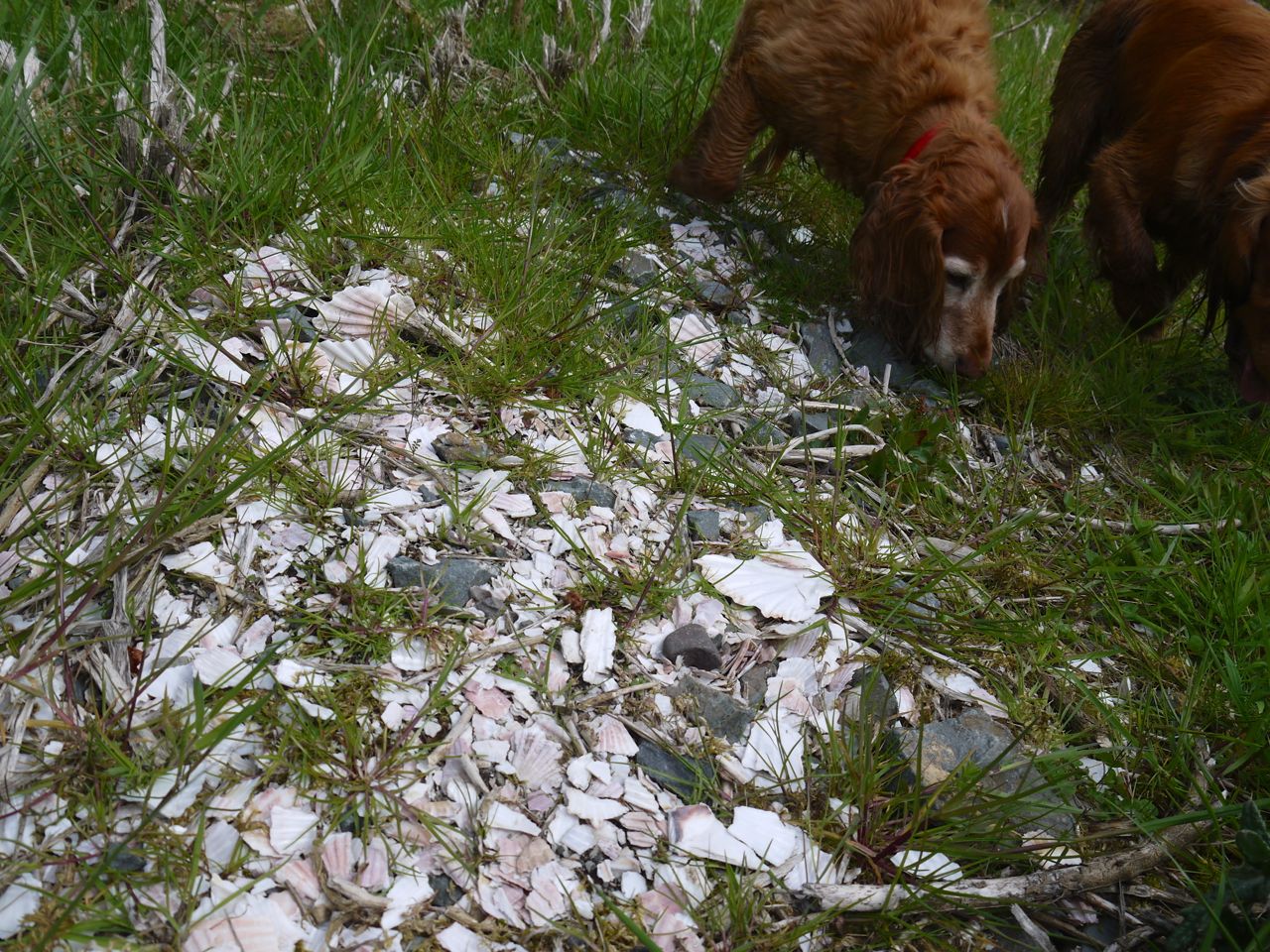
 Another sensory dimension will have been experienced more vividly by the dogs, the scent-scape, which to our human perception seems hardly evident. Sweep and Eddie investigated many areas closely with their noses as well as standing, snout in the air, sampling the chemical messages carried on the air. They would at times stop, gazing intently into the trees, presumably having caught a scent too faint for the human nose. I don’t recall many specific scents other than a whiff of pine by recently cut logs, but I suspect the overall scent milieu of open moorland, forest and loch registers differently in my brain. Could I identify these places by smell alone? Perhaps. Unlike the dogs, we did not purposely leave a scent trail behind.
Taste is perhaps the sense which contributed least to my experience of the walk. The main opportunity would have been to taste the water with peat and that with sand. The dogs drank from burns, muddy pools, clear pools and the loch whereas we, fearing gastrointestinal pathogens, brought tap water in plastic bottles. I hadn’t come across any vegetation I would recognise as edible so my only taste experience from the walk, other than a ham and mustard bagel, was salt tasted when licking my lips after a slug of the imported tap water. Perhaps I should walk out with heather honey on future walks.
Without a sense of touch and proprioception I would have been unable to complete this walk but the importance of touch is a rarely acknowledged aspect of the walk’s sensory experience. On reflection, most of my touch experience was through my feet and legs. I could feel both the gradient and the terrain. The forestry track was always firm but in places smooth, in others uneven with small mobile rocks. The moorland offered the bounciness of heather or peat, the watery give of boggy grasses, and the rocky firmness of granite. I had consciously registered the climb away from the car, glad that the return would be downhill but had not remembered the descents as carefully so was surprised how much ascent we had when returning. My lower limbs had the hard graft of sensation on the walk whereas touch using my hands was more of a luxury, and often an unthinking use. When I looked closely at a rock, flower or leaf I would hold it and while doing so experience its physical characteristics. It took a conscious effort however to do this consciously. I had sat upon the Rosnes bench looking out to the Loch while at my side I was running a hand over the surface of the bench. Did this alter my experience? I don’t know but I suspect those perceptions are now linked in my mind. Only occasionally was touching the main purpose of an examination but it showed me that similar looking leaves can feel quite different.
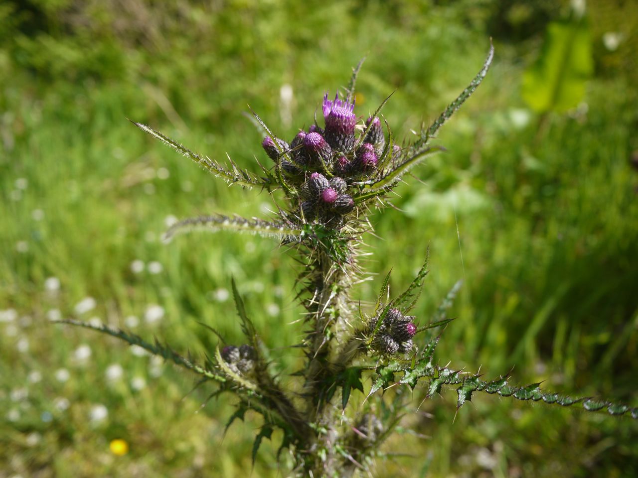
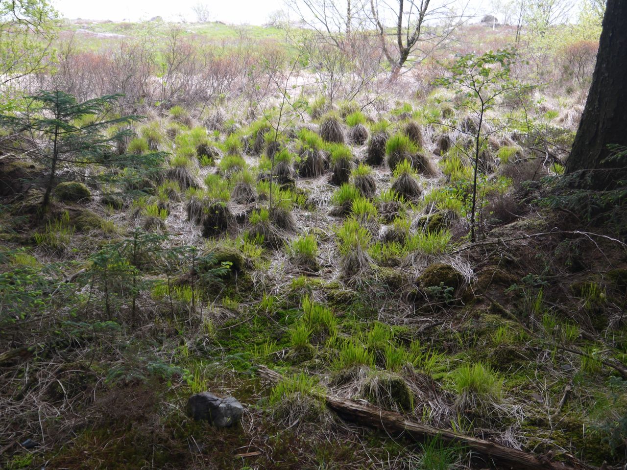
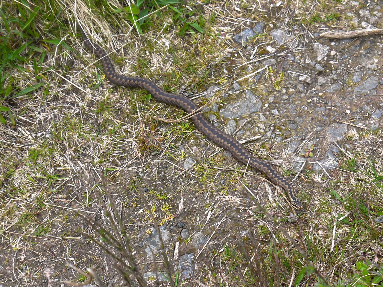
Easily missed unless you tread on it
And staying with skin as a sensory organ, since I had forgotten to apply my SPF50, the sun has left me with a warmth of my head and arms. It might have been worse but I had brought the suncream in my bag and applied the protection after lunch.
And other senses?
What of Chronoception? My perception of the passage of time during the walk was I think suspended. I had no sense of time passing which perhaps reflects an absence of boredom. Each moment was filled with sensory experience. To look ahead to a destination fixes a distance to travel, either in space or time and travelling that route will have a temporal dimension. Perhaps experiencing each moment of the journey for itself can remove that perception of passing time.
 On paper this looked to be a rather commonplace walk, but it proved to be anything but commonplace. The recognition that sound was an aspect of my outdoor experience that I had previously overlooked had opened my eyes, or more accurately my other senses to a fuller experience.
[osmap gpx=”http://www.screel.co.uk/walks/wp-content/uploads/2015/05/gpx230515.gpx”]

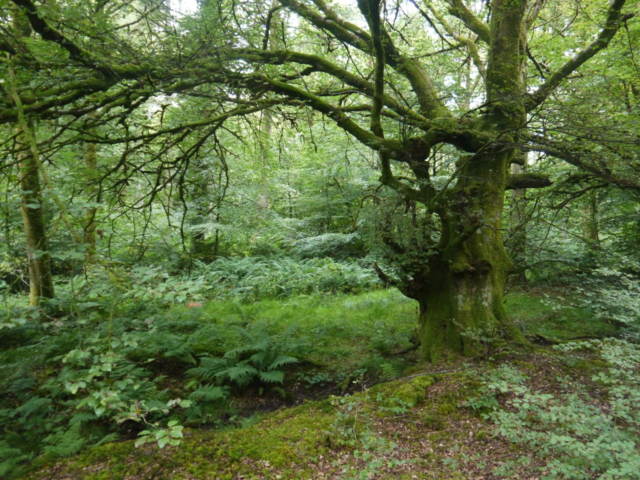
 Cally Woods


