7.75 miles 3h 40m ascent 283m
 Dalbeattie Forest-Moyle Hill-Heart Stane
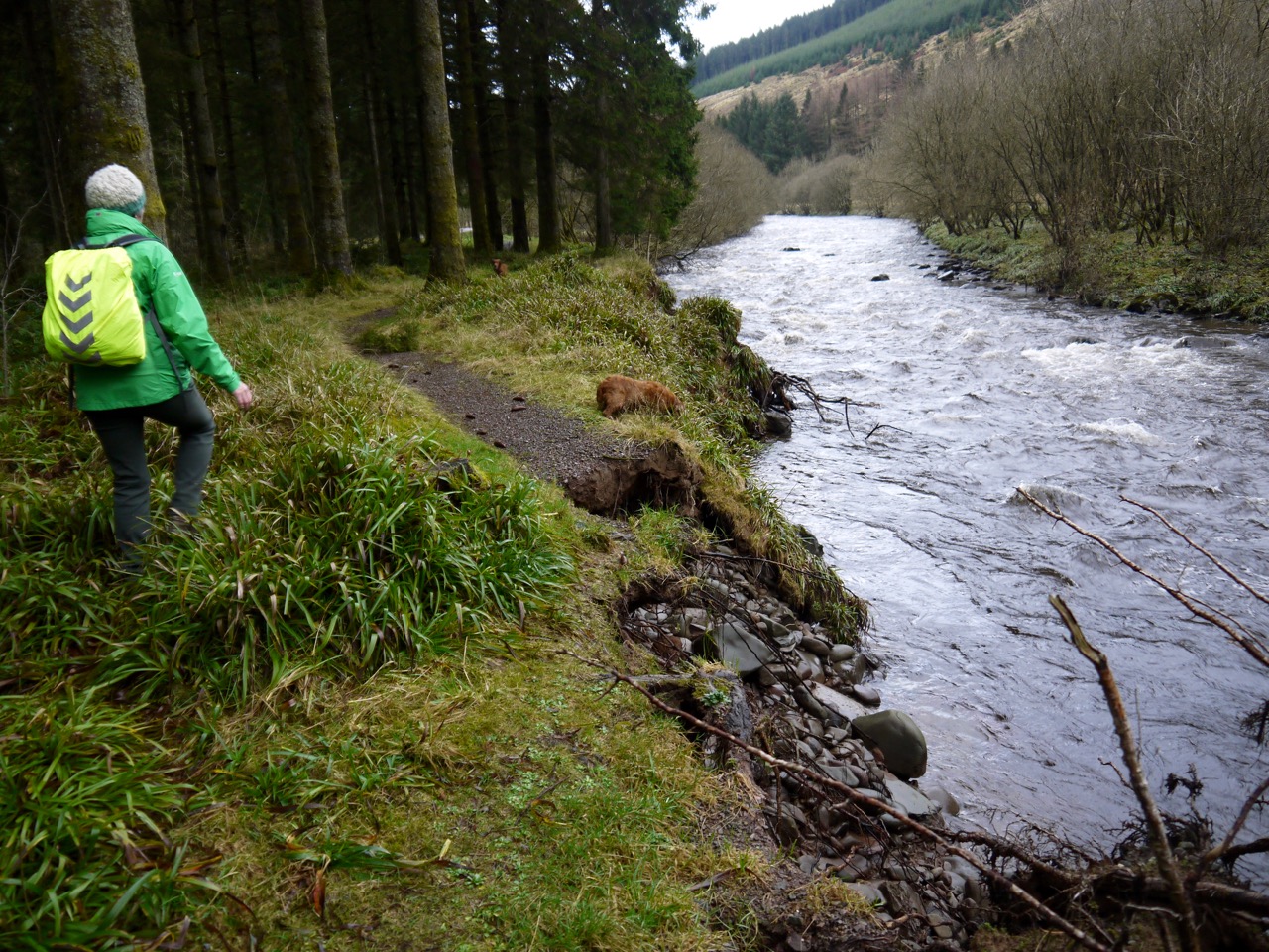
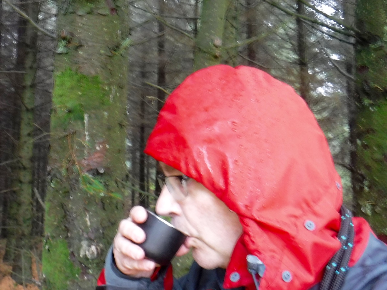
There were severe weather warnings for heavy rain and some local fields were already flooded so I ditched the planned route for one away from major waterways and without sections across boggy ground.
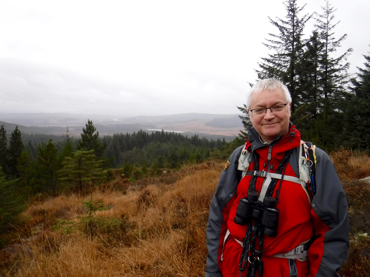
As predicted it rained heavily throughout the walk. I had the OS 25k but navigating this route would be easier with a Seven Stanes MTB route map as well (which I didn’t have). So I was guided by the OS 25k, a sense of direction, a vague memory of previous visits and a hope that the force would be with me. During the walk I believed two of these had deserted me, but as it turns out we got where I meant to go, albeit not by the route I intended.
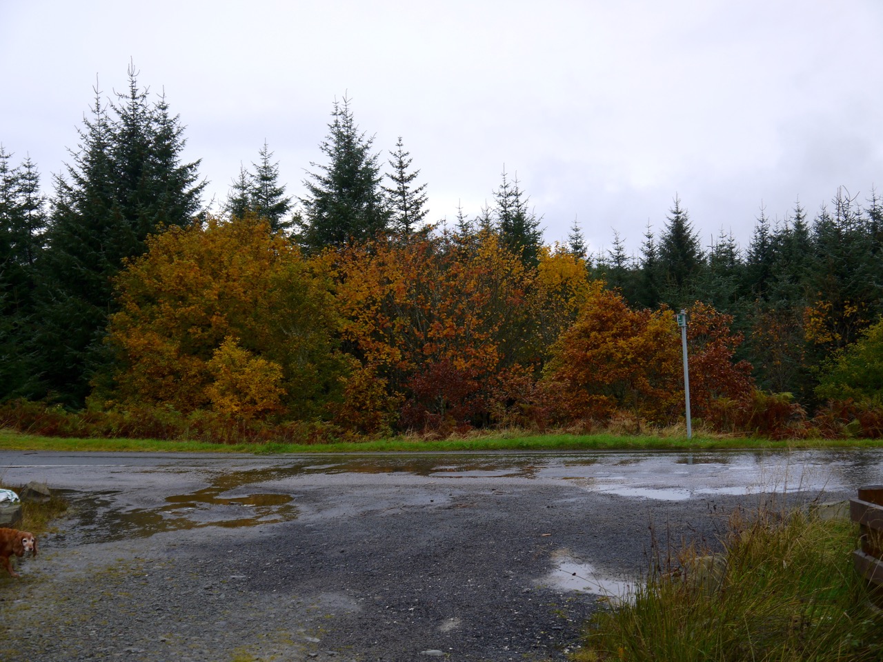
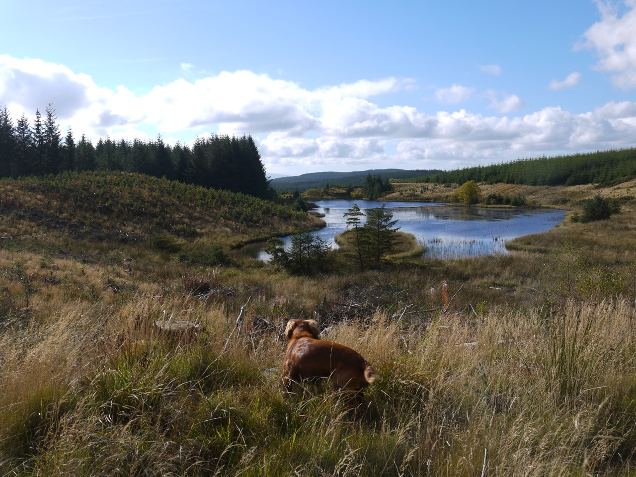
Our starting point was the Dalbeattie Town Woods car-park with its boulder installations and BBQ enabled picnic tables helpfully marked “May be HOT” for those without common sense but an ability to read. I do wonder if it should have had a drawing of a person burning their hand as well (for those unable to read or unfamiliar with English).
Dalbeattie Town Woods
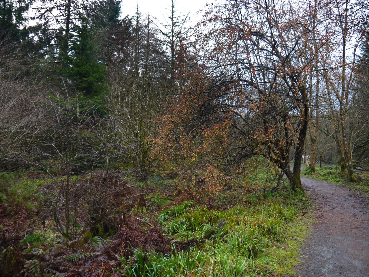
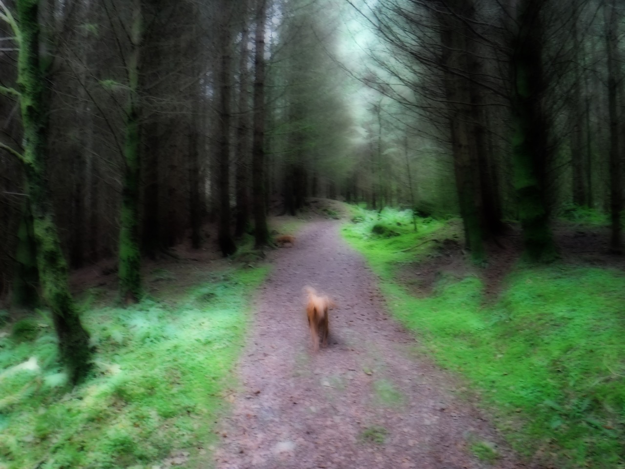
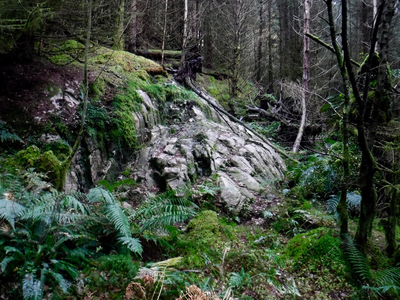
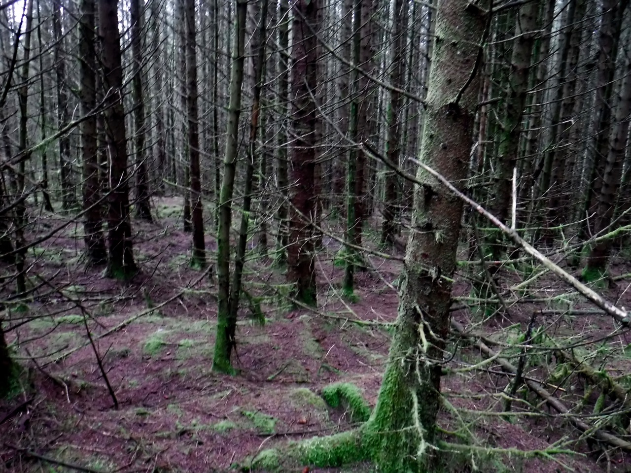
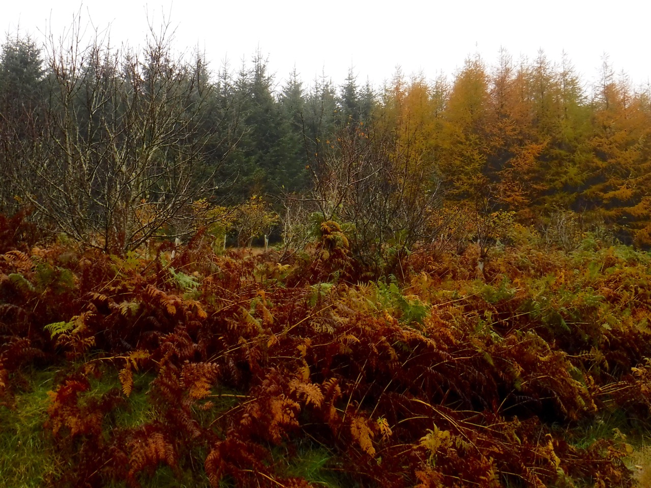
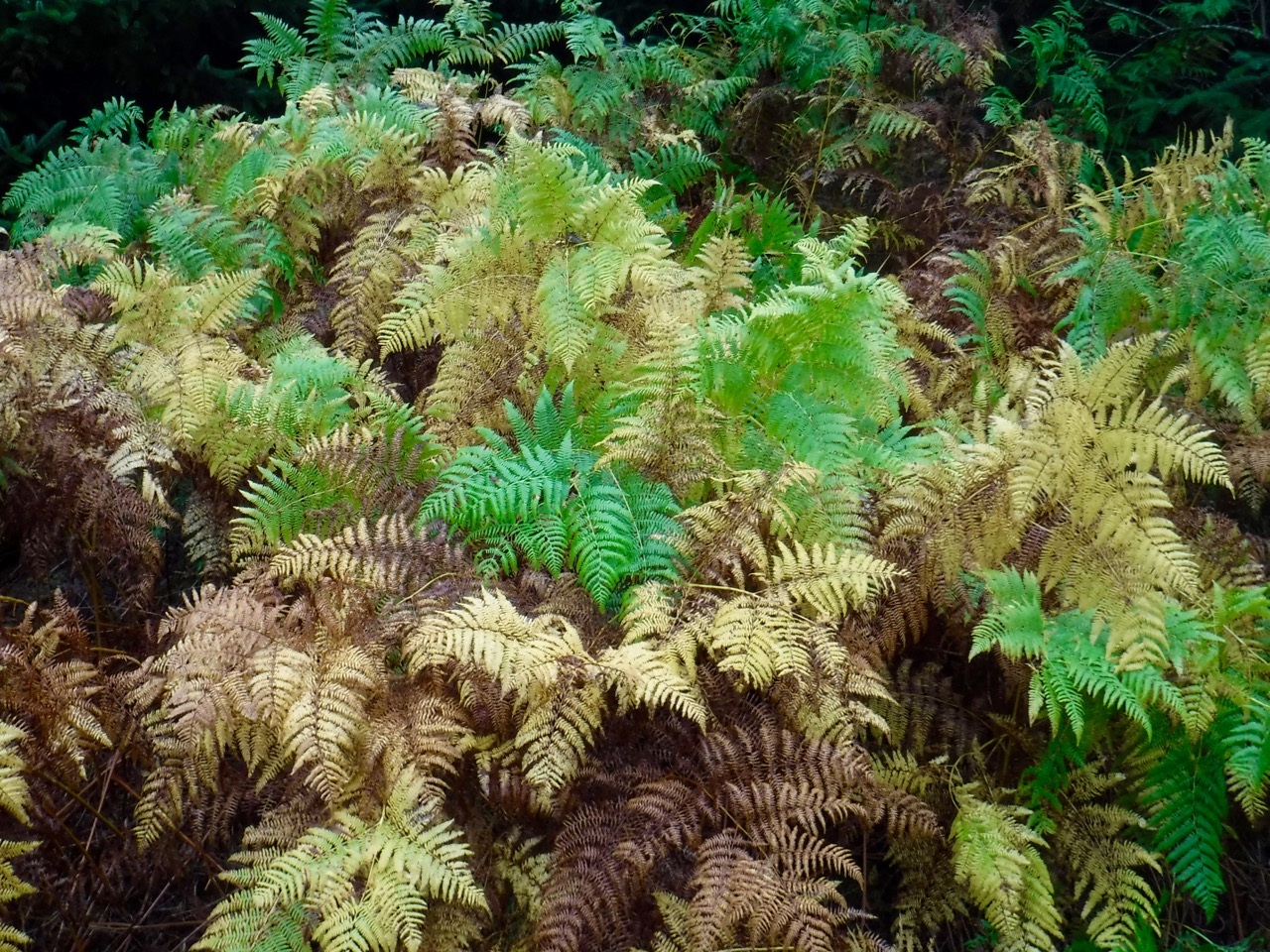
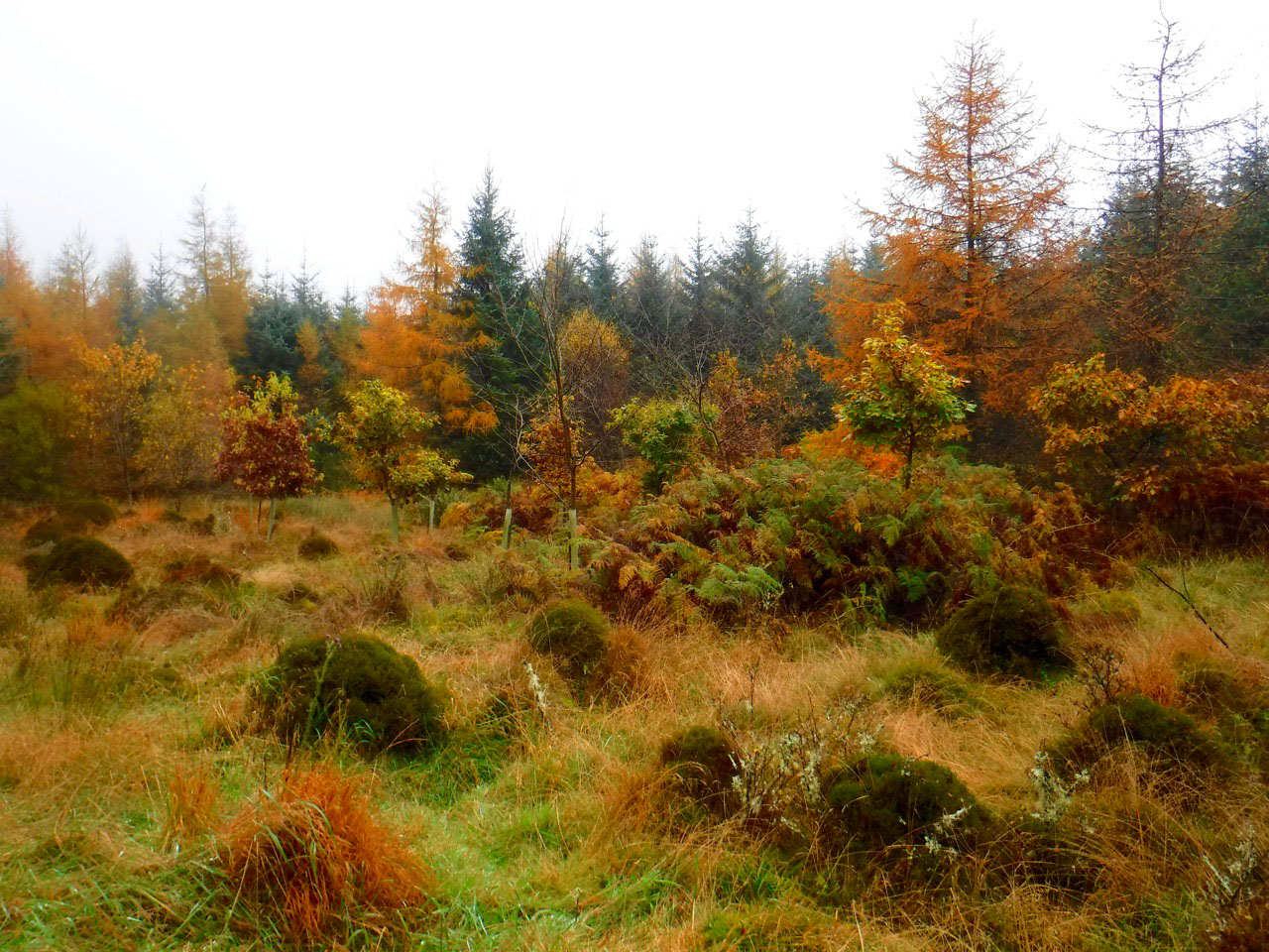
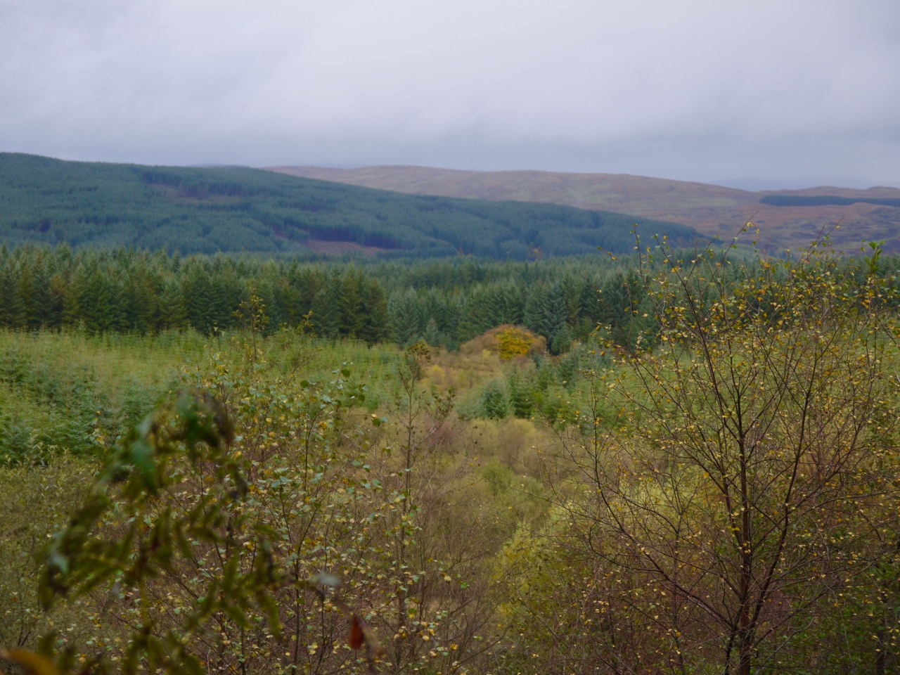
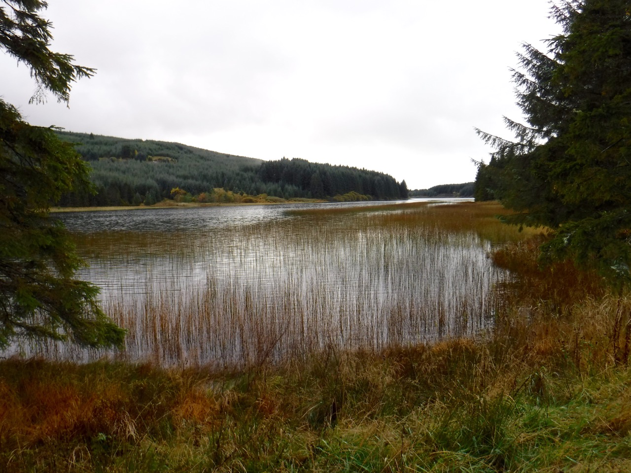
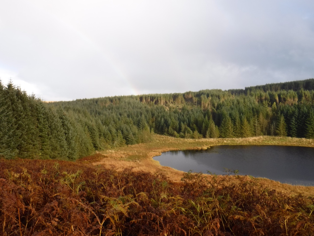
We set off on the forest path through the Richorn Plantation, with conifers and some smaller beech trees retaining their golden autumn leaves. Bracken beneath the trees was still green whereas that in more open areas was in various stages of yellow and brown showing the effect of temperature in triggering autumnal changes in leaves.
The plan was to walk along to Woodhouse, which I presumed would be ruins, and then head left up a footpath/MTB track to look for the heart stane. The last visit we had walked by the Slab, a steep rocky section for fearless bikers, so if we saw signs for that we would follow them. One difficulty was that I didn’t recall the name of the Slab, but I thought if I saw its name I would remember it.
I looked at the map at the start and had in my mind that we would reach a T-junction where we would turn left and continue to the Woodhouse ruins. The T-junction was enough un-T like that it didn’t register so the next T which, should have been a right turn, we turned left. This wasn’t a big deal since the turn brought took us to a track that brought us back to the same route, albeit having walked an additional 0.5km. But it by-passed Woodhouse, our landmark. But all was well because we eventually came to a sign pointing to “Moyle Hill”.
From here onwards my sense of direction failed. Had I been a swallow heading for Africa I would have found myself wondering why the ‘sahara’ had so many icebergs. We must have been bewitched in some way by mischievous woodland sprites.
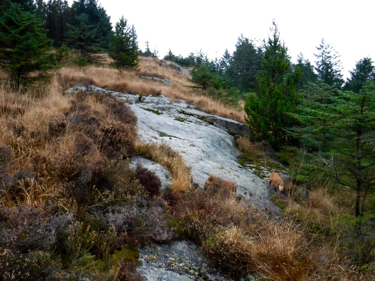
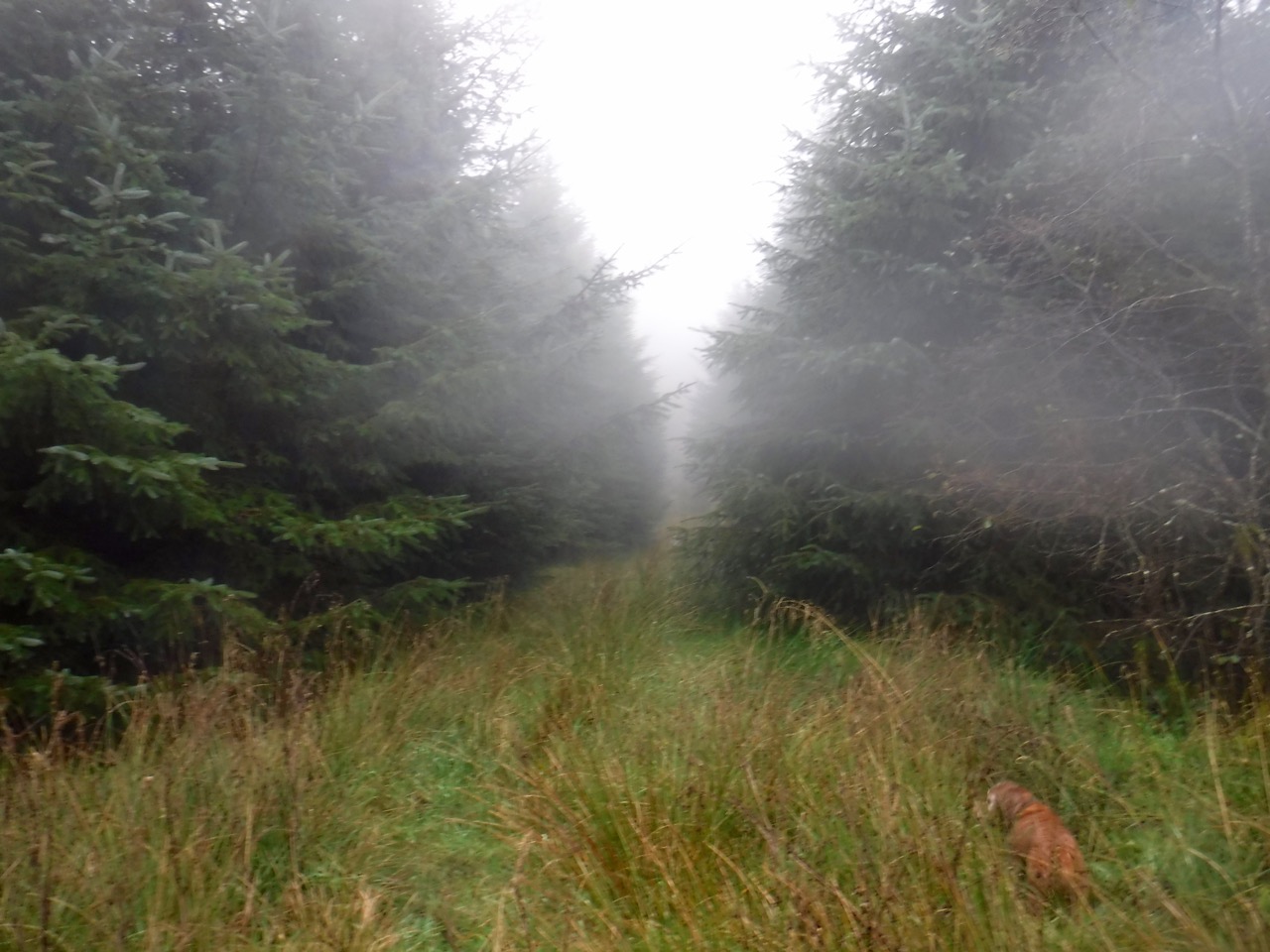
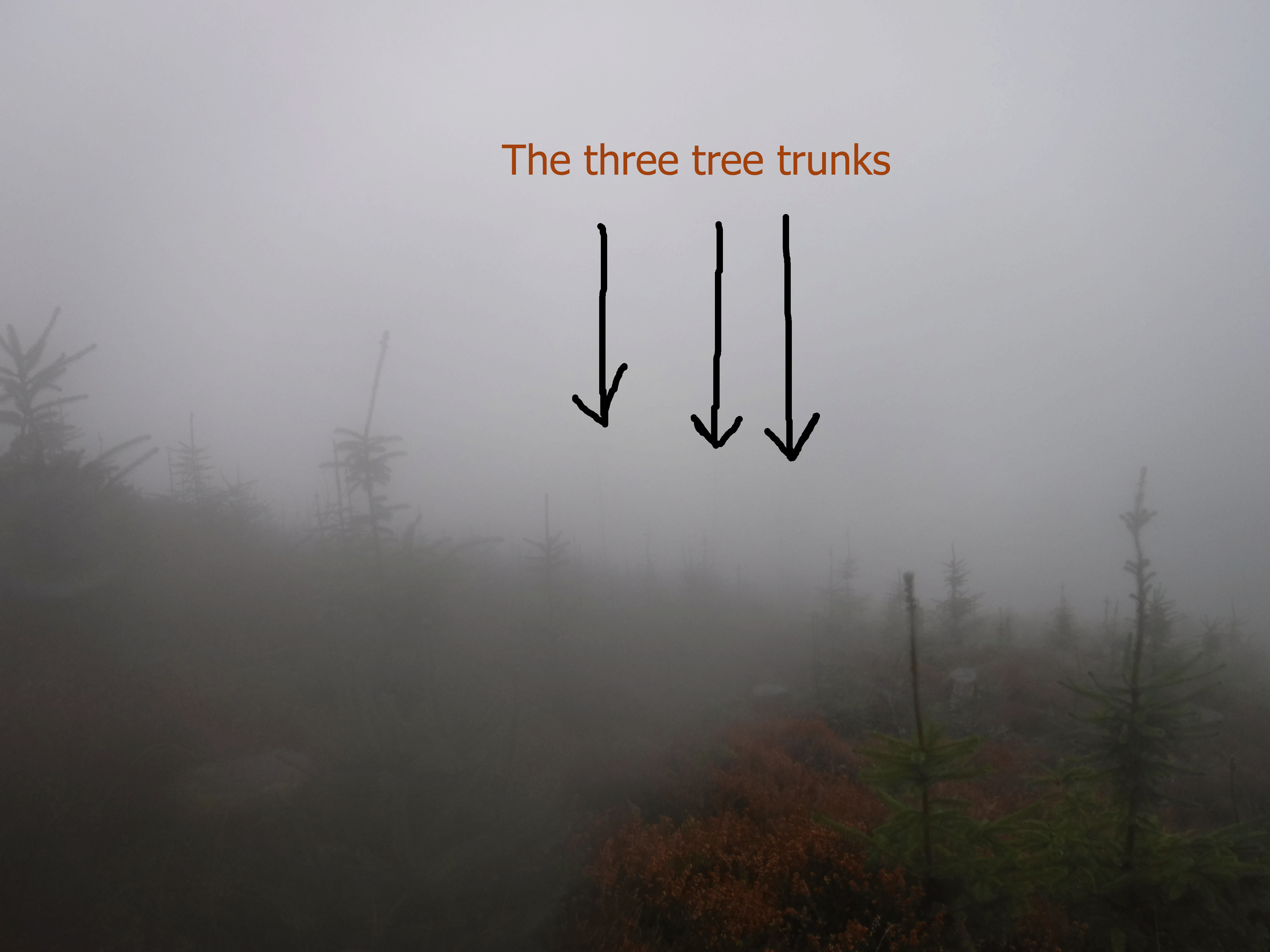
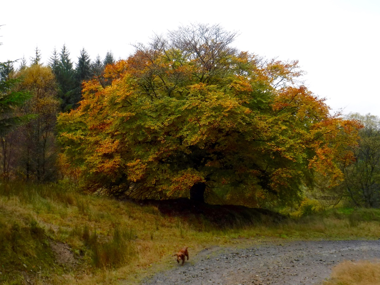
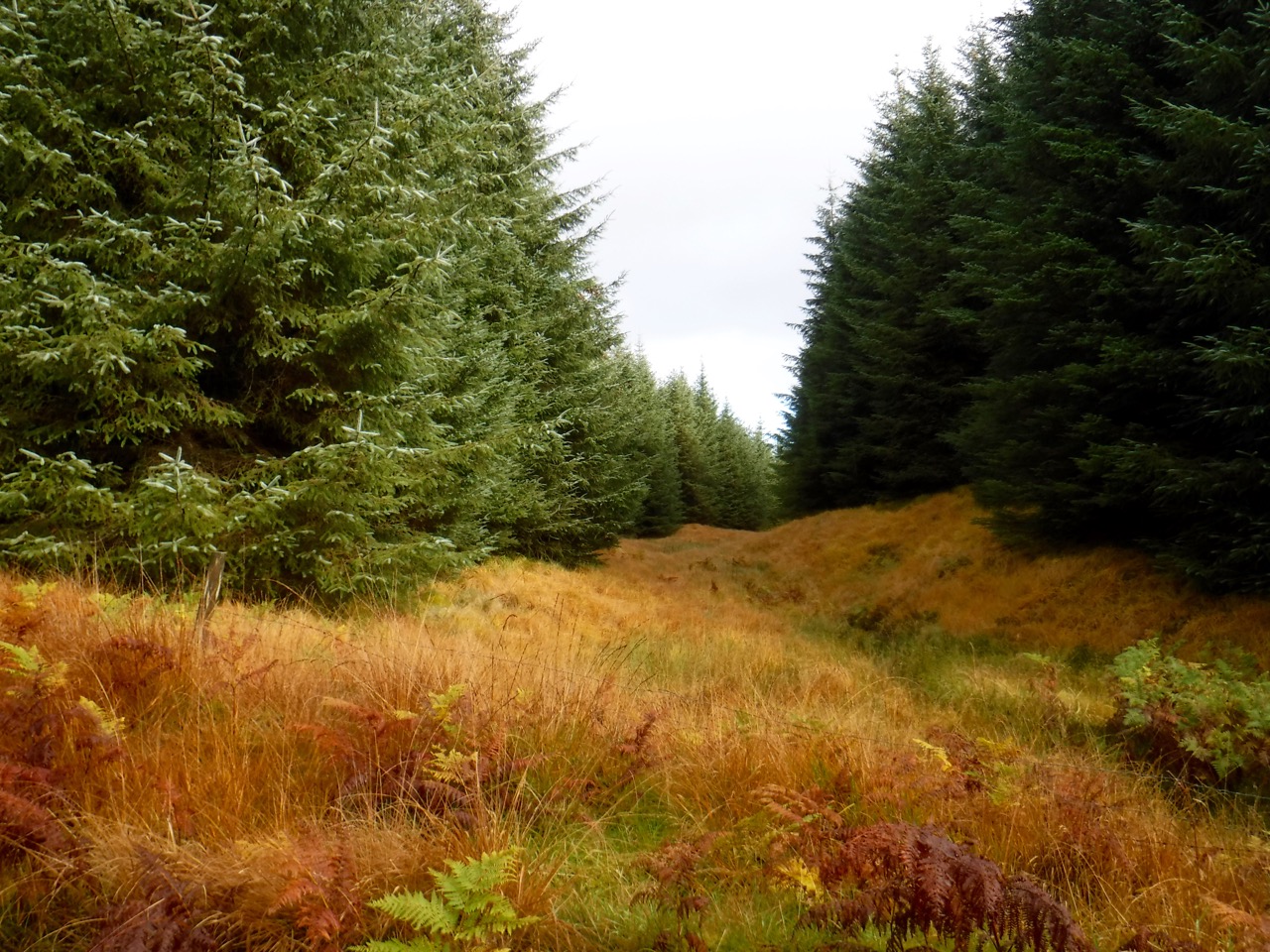
The narrow track to Moyle Hill passed through dark dense forest over rocky (firm) or soft (pools of water) terrain. The dogs enjoyed running through the trees while we chose our steps carefully. My impression was that the track had taken us left from the larger track and then turned left again, so I believed we were approaching Moyle Hill from the south. In fact we were continuing in almost the same direction as the larger track and approaching the summit from the north. Even now I can recall turning sharp left (by 90°) twice, but the GPS track shows me walking a generally straight line. Spooky. Damn those sprites.
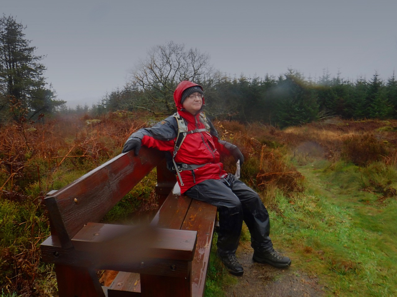
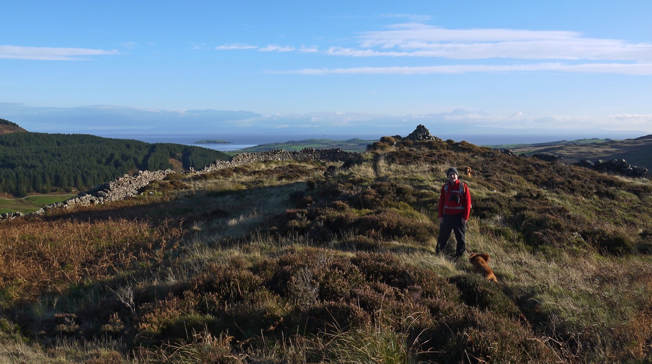
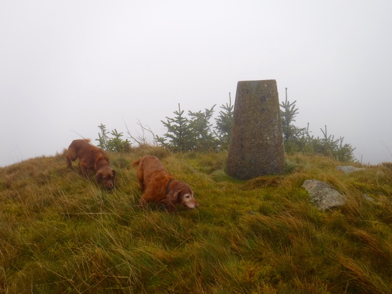
Resting on Moyle Hill
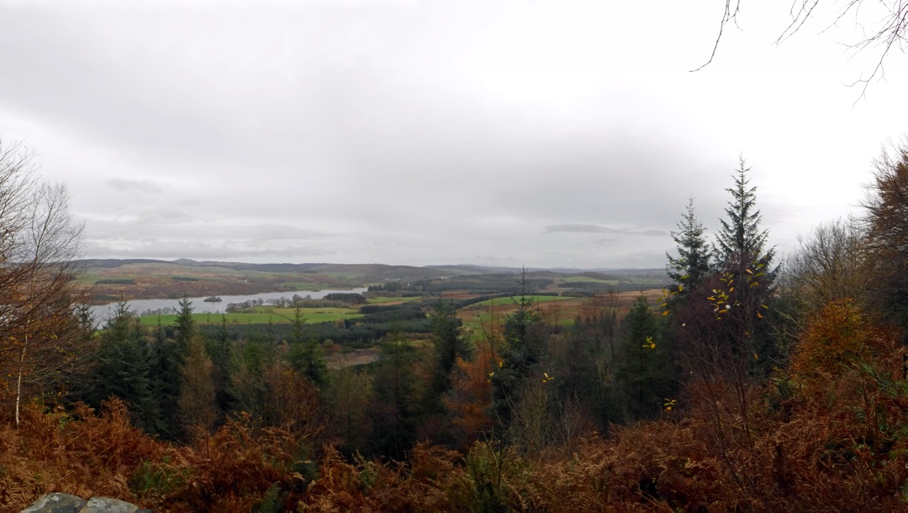
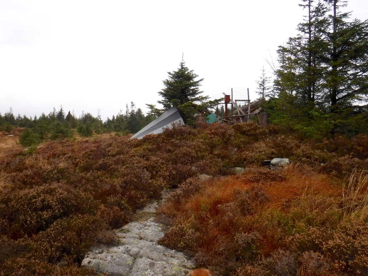
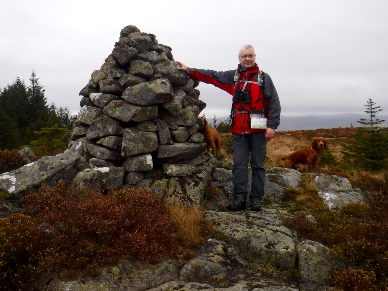
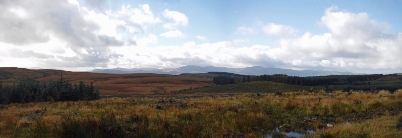
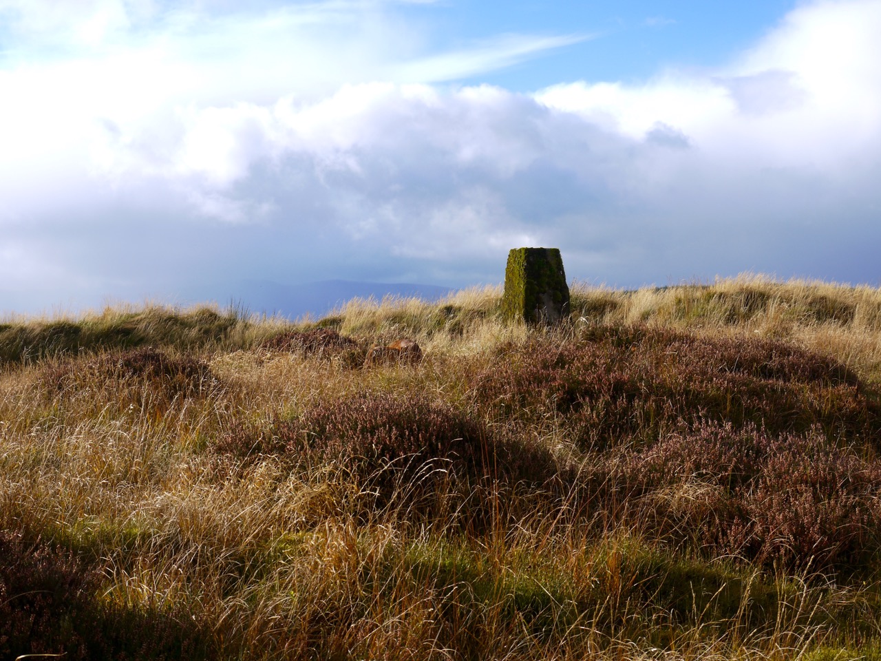
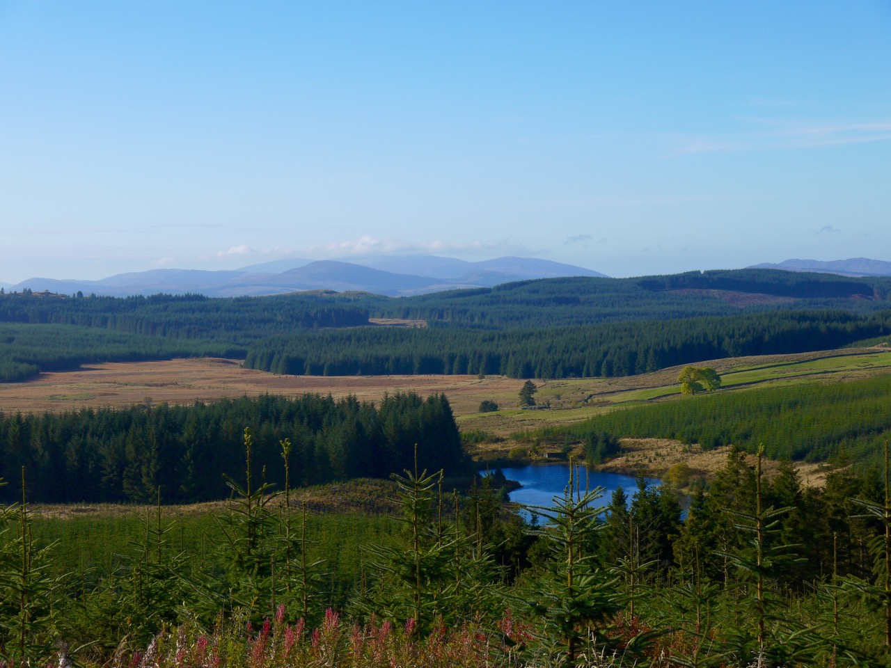
As the sign had promised this route took us to the top of Moyle Hill. The hill top is free of trees and has a bench to rest one’s weary limbs. The views would be great in better weather (the story of many a walk) and had it not been pouring with rain I might have sat there for lunch. The trig pillar is painted white and has a plaque: The Moyle, Altitude 150m, Site of Iron Age Fort. Meaul means bald or bare and is a common name for hills free of trees. It usually takes the form Moyle in Ireland.
The fort was large and would have covered the entire hilltop. Here is Canmore’s description from 1957:
A fort measuring 930′ x 500′ formed by a ruined stone rampart c. 10′ wide drawn around the shoulder of the hill wherever possible. There are several breaks in the rampart and a probable entrance 160m from the NE corner. Within the interior are several secondary features.
In the SE corner is a ‘citadel’ measuring 120′ x 90′ defined for the most part by a scarp representing a denuded rampart, the south and west side of which almost certainly overlies the fort. This work is comparable to several of the ‘defensive enclosure’ type in southern Scotland.
I think the rampart, now buried beneath vegetation, is visible near the trig pillar and possibly across the moor, but I didn’t notice the ‘citadel’ even though we must have walked through it. More information is available at Dalbeattie Heritage – The Moyle.
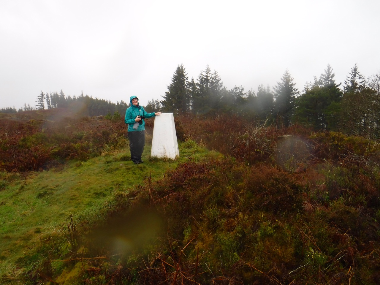
Moyle Trig
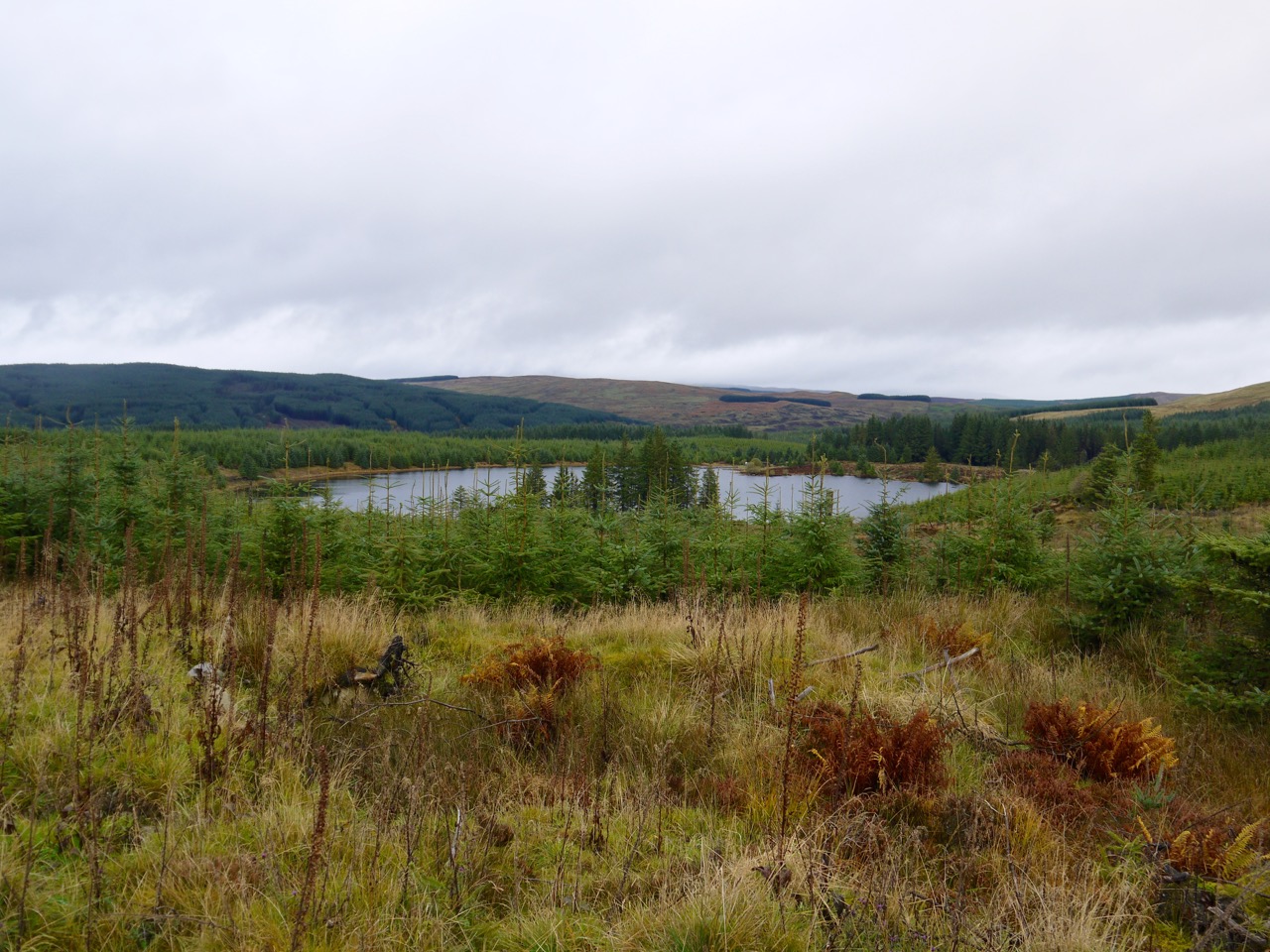
Believing we had climbed the summit from the south, I believed that if we could continue in much the same direction we might find tracks leading us across to the Heart Stane. A track sneaked out across the upland moor of the hilltop. Fantastic. If there was a track, surely it would lead us to the Heart Stane? I got my compass out to confirm my inner sense of direction with the earth’s magnetic field.
The data did not compute. Inner direction sense: I am looking north (in the direction of the heart stane). Compass: I am looking south (completely the wrong direction for the heart stane). Either the compass was wrong or I was. Perhaps the compass had been demagnetised in my pocket? Audrey’s compass was in her rucksack, in the car, no doubt shaking its head or perhaps laughing at us.
Analysing the situation, unable to blame anyone else for the predicament, and with visibility too poor to see anything else for navigation, I narrowed the problem to choosing between two options: go back along the path we had climbed or carry on along it. The track must go somewhere and we had not passed any other options on the way up. So on we went across what was once a large fort and was now moorland.
When we reached relative shelter of the trees again I looked at the map. We had a steep descent and I was forced to accept that the compass was working properly. We were heading south from Moyle Hill so the new plan was to head around the eastern side of the hill and find a way up to the Heart Stane. Simple.
Difficult to believe – but true
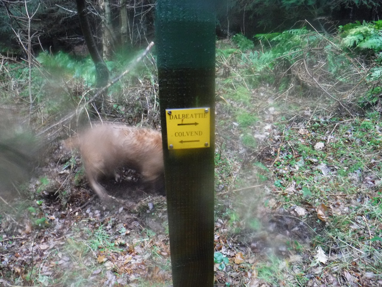
Unfortunately we came upon a small post with a plaque pointing right to Dalbeattie, left to Colvend. No matter how I thought about it these seemed to be pointing in the wrong direction. I spent a few minutes re-tracing our route and its turns in my mind, turning this way and that for real, each time ending with “so Dalbeattie should be in that direction”, while pointing opposite to the direction indicated by the sign. I wondered, aloud, if the sign might be wrong, but Audrey pointed out that the post didn’t look to have been tampered with. Looked through my photos after getting home I labelled my picture of the sign “Lies” but having reviewed the evidence I have subsequently removed that epithet. Having said that, both directions lead to forestry tracks, both of which run between Dalbeattie and Colvend. I do accept though that if one was going to Colvend, the indicated direction would be quicker, whereas either would do for Dalbeattie.
We turned right, for Dalbeattie, and very soon reached the main forestry track exactly where we had left it when we had started up Moyle Hill. Or so we thought. It looked exactly the same. Same signpost. Same Trees. Same Track. We could even see the track we had taken when finding our way up Moyle Hill (we thought, wrongly). We believed the descending path must have curled around to bring us in a circle but were in fact over a kilometre south of that junction.
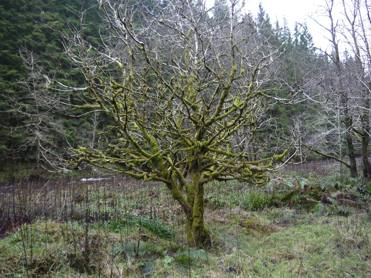
We took another woodland path which looked as though it would take us around the southern end of Moyle Hill and up its eastern side. I had some deja vu, worrying that we were taking a path we had already walked but we crossed a bridge that we hadn’t crossed before and walked through beech woods that we definitely hadn’t been through earlier.
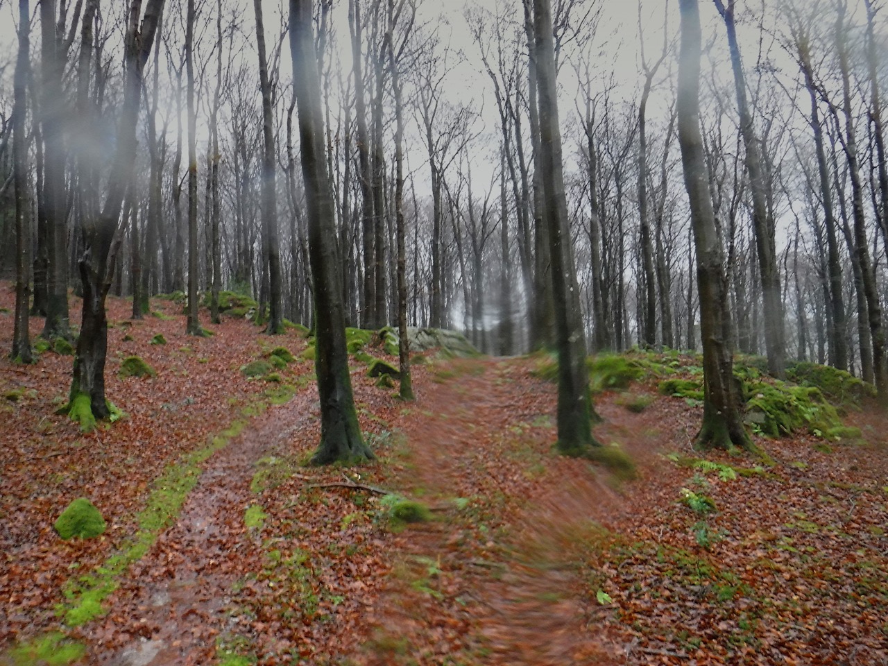
Beech Wood
Throughout the next hour or so I had a strong sense that we were walking in circles and would glimpse sections we had been through before. To confuse us further, at one point Audrey asked me what direction I thought we were walking. I was pretty sure we had come around the southern end of Moyle Hill and were walking roughly north along its eastern edge. To confirm this I got the compass out only to find it showing us walking south. We turned about and headed back but checking again a couple of minutes later we were walking south again. The compass continued to show this so we turned back again. (I have checked the compass since and it seems to be working just fine). Later we came to the signpost for Moyle Hill summit we had passed on the way up. But again we were mistaken, fooled by everywhere looking similar.
Somewhat navigationally challenged, we pressed on through similar looking woods, and eventually came upon a Seven Stanes MTB emergency sign showing where medical help could be found. I presumed this would be close to the Slab, and indeed within a few minutes we passed a warning sign for the Slab.
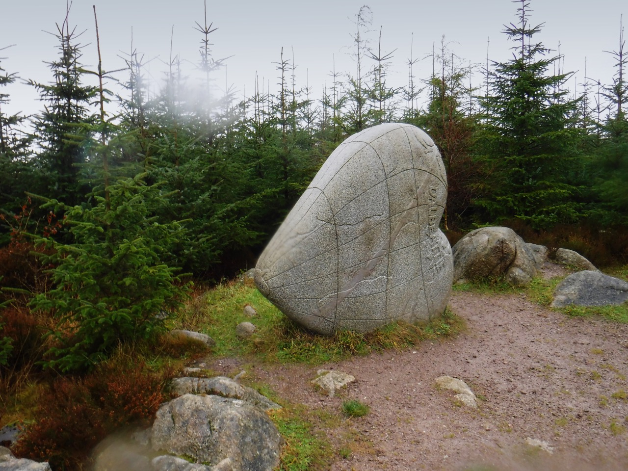
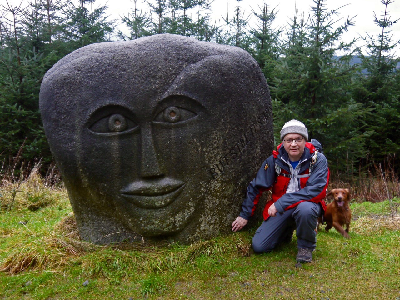
Heart Cleft Stane
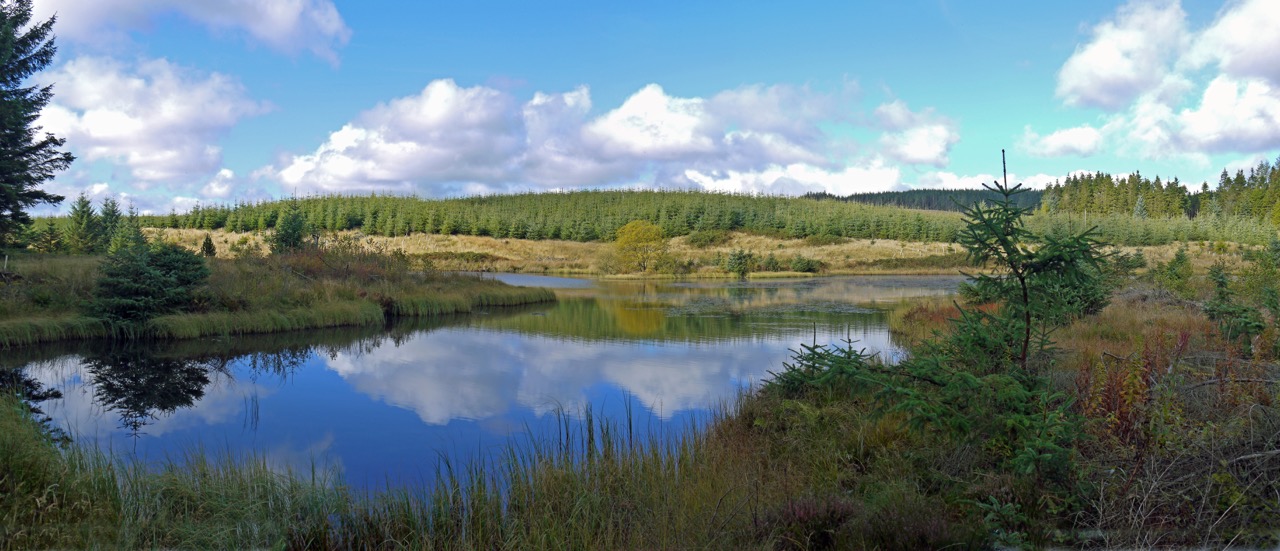
Our path gradually ascended and took us to the Heart Cleft Stane. When I had been here in 2011, the large granite heart had stood on a flat hilltop, but the trees have grown since then and the heart now has a backdrop of conifers. The Seven Stanes website gives this description: A mammoth piece of Dalbeattie granite has been donated by Tarmac Limited from their local quarry to make the Dalbeattie stane. It symbolises the fact that the Kirkcudbrightshire town was once the heart of the granite industry in the south of Scotland and exported stone all over the world. The inscription on the giant heart gives an indication of where the granite has been exported to over the years.
Very few of my pictures of the stone were useful, the wind and rain defeating the camera.
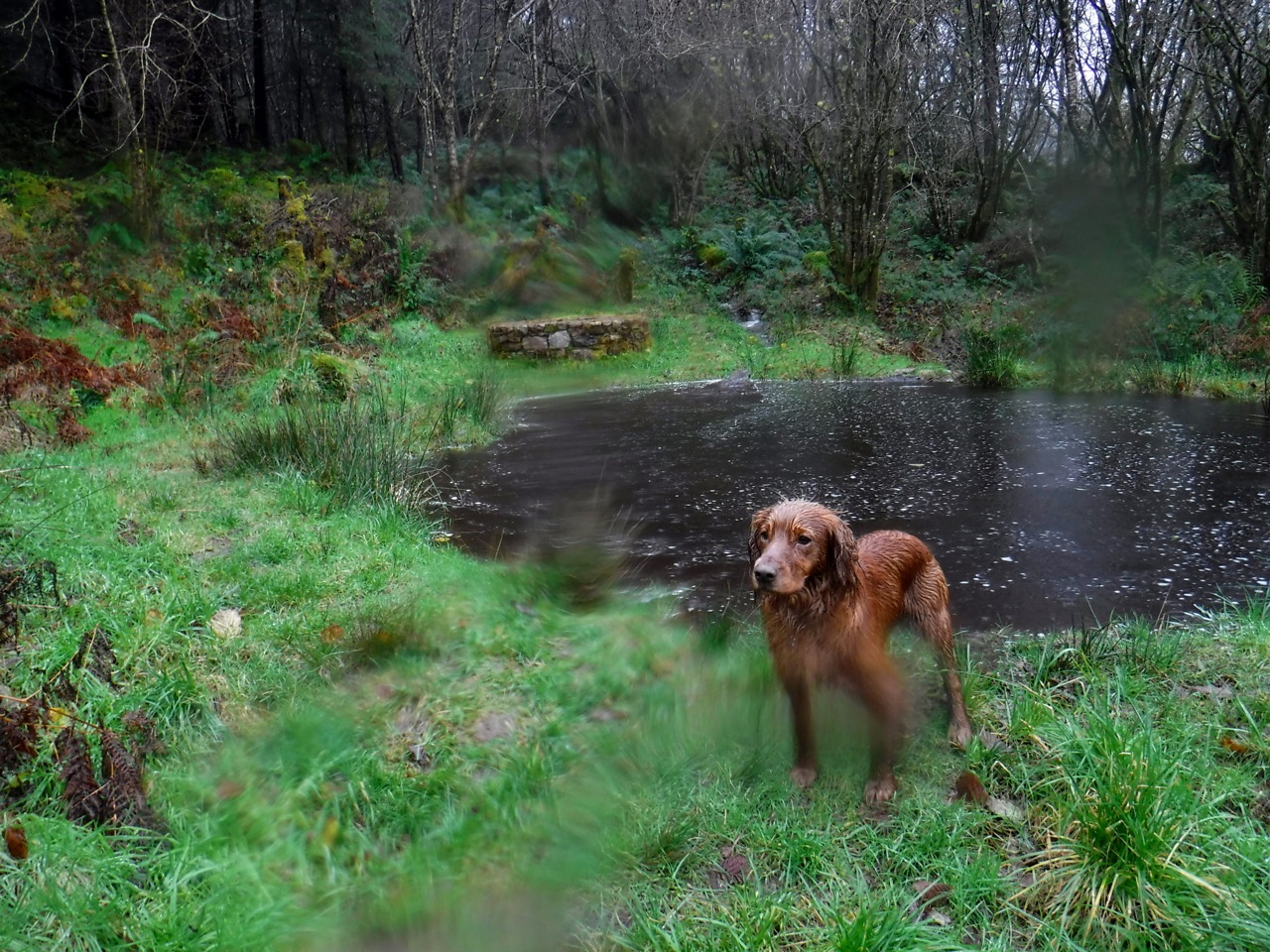
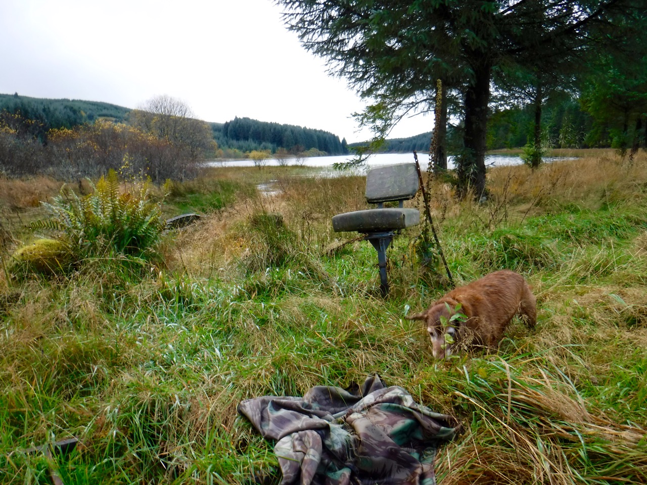
A bedraggled Eddie by a pond and well
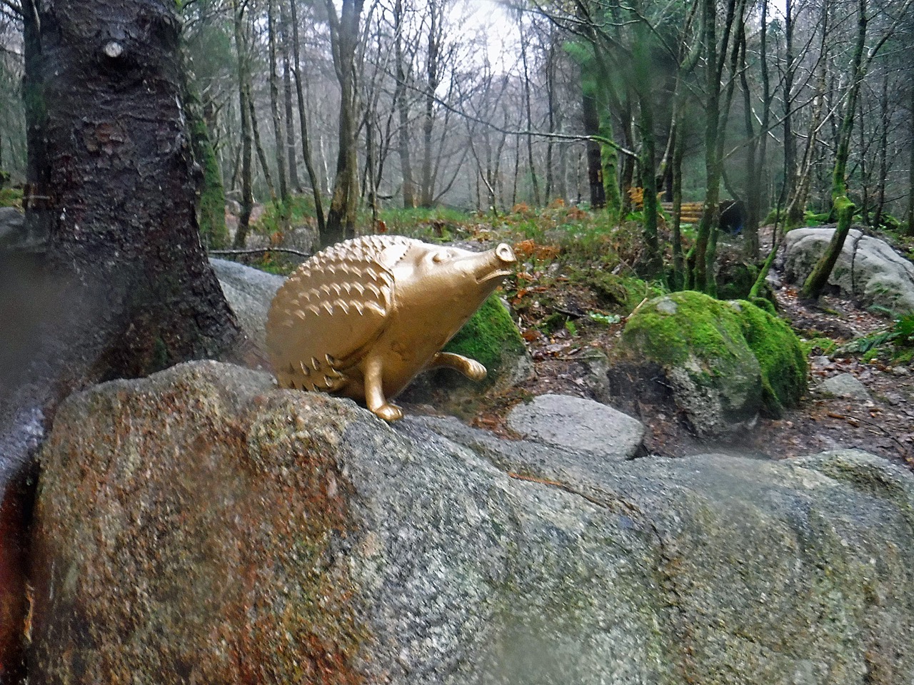
Relieved that we had achieved our aims of visiting the Heart Cleft Stane and Moyle Hill we headed back to the track and headed back, taking a slightly different route to the car-park. This brought us in to the car park from the other side and otherwise we might have missed the Golden Hedgehogs.
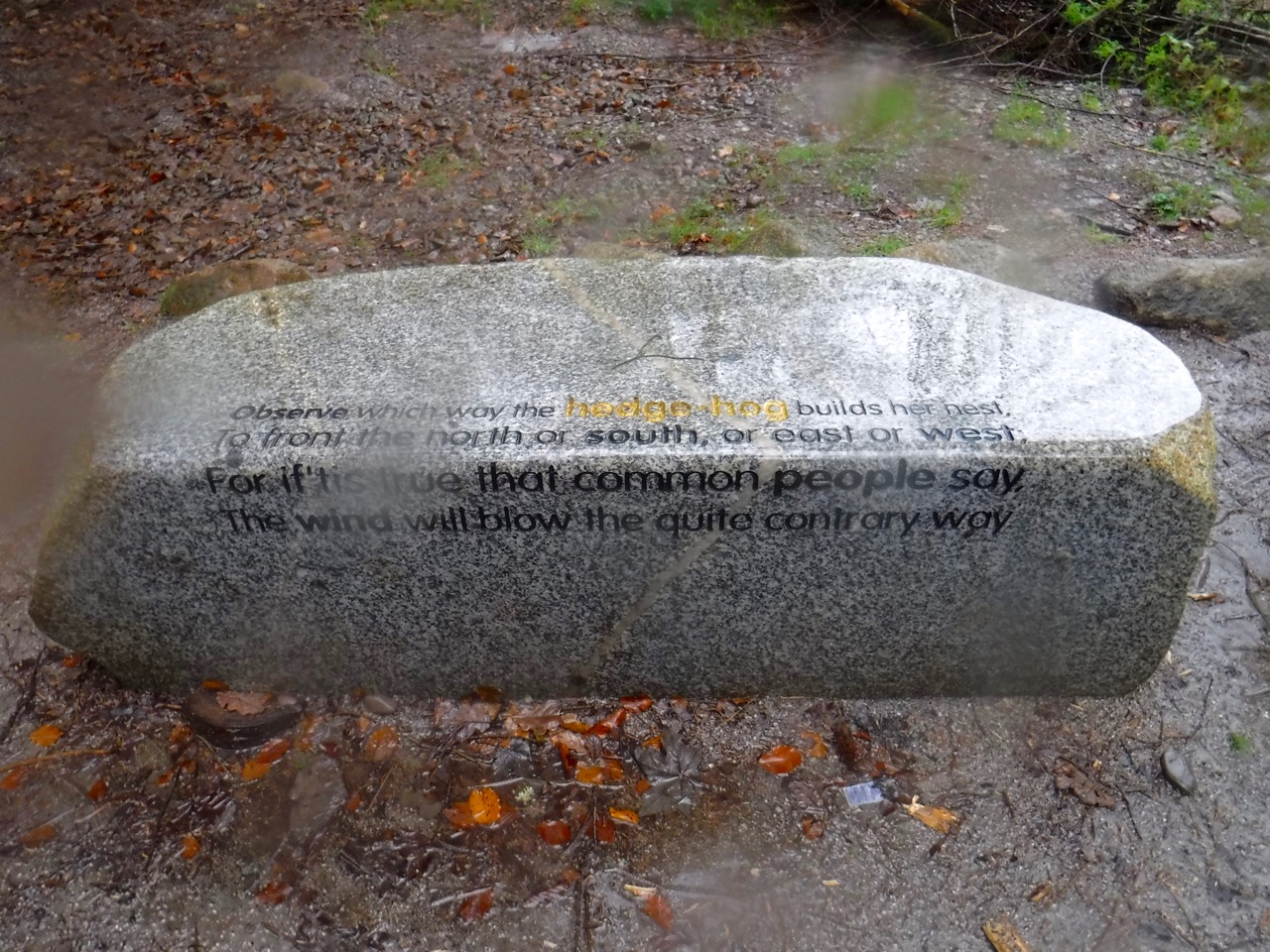
Hedgehog Bench
There are round of granite benches (at least that’s what I think they are) and one has the inscription:
Observe which way the hedgehog builds her nest,
To front the north or south, or east or west,
For if ’tis true that common people say,
The wind will blow the quite contrary way.
Nearby a Golden Hedgehog sits atop a boulder, and another one a few metres away in a children’s playground. A very impressive playground.
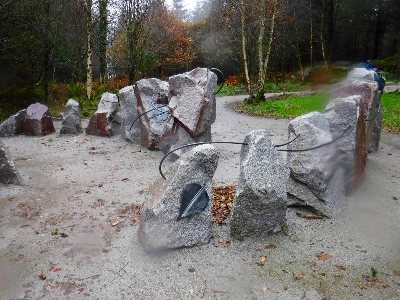
Art Installation – Dalbeattie Woods
There is another installation of boulders, with metal leaves attached, joined by metal rods. Again the rain messed up the photos.
Download file for GPS