Loch Katrine – the scenery of a fairy dream

13.4 miles 5h 25m ascent 373m

Strochanlachar-Trossachs Pier

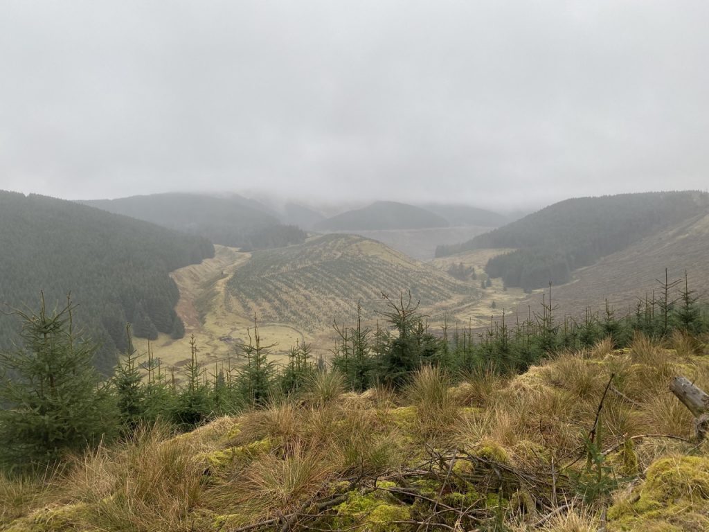
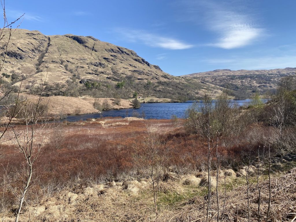
Loch Katrine was gouged by glaciers during the last ice age, named for the ceathairne, highland robbers such as Rob Roy MacGregor who stalked its surroundings, and co-opted by Victorian engineers, who raised its water level by seventeen feet to provide healthy water for Glasgow. It inspired Sir Walter Scott to pen The Lady of the Lake, and his descriptions kick-started tourism in the Trossachs.

The wanderer’s eye could barely view
The summer heaven’s delicious blue;
So wondrous wild, the whole might seem
The scenery of a fairy dream.

The Lady of the Lake, Walter Scott
Continue reading
Posted in Trossachs | Tagged , | Leave a comment

Silver Jubilee Road – Happy and Glorious

9.2 miles 3h 37min ascent 344m

Overmenzion

The Silver Jubilee Road, which from its name must date back to 1977, was to be a multi-use (vehicles, horses, legs) trail in the beautiful Tweedsmuir hills. There were to be seven stops: Covenanter’s View; Auchenmode Burn; Roebuck’s Leap; Laird’s Cleuch Rigg; Blackcock Knowe; Overmenzion Way; and Fruid Outlook. Each presumably would have had a small car-park, information board and picnic table.

Continue reading
Posted in Borders | Tagged | Leave a comment

Barlay Hill: another Monica

2.8 miles 1h 4m ascent 75m

Another Wee Monica. A forestry track from the Trostan Road, a footpath with a residual red way marker post to the Shambellie forestry track and then the remnants of a footpath up Barlay Hill. All easy going.

Posted in Dumfries & Galloway | Tagged , | Leave a comment

Dalskairth Hill: just checking

1.83 miles 53m ascent 100m

Continue reading
Posted in Dumfries & Galloway | Tagged , | Leave a comment

Craigend Hill: third time lucky

2.54 miles 1h 46m ascent 126m

Continue reading
Posted in Dumfries & Galloway | Tagged , | Leave a comment

Locharthur Hill: an asterisked Mabie Monica

4.52 miles 1h 50m ascent 183m – failure 24/11/2022

4.24 miles 2h 2m ascent 145m -success 25/11/2022

A Monica is a hill named on the OS 1:50k map. A Mabie Monica is such a hill in Mabie. Some hills don’t have a marked summit and their upper contour lies only partly in Mabie. These have an asterix in my list. Locharthur’s highest point actually sits just outside the boundary wall. It is marked on the 1:25k map.

MTB track on Craigbill

I set out on the 24th to go up Craigbill Hill, intending to use the old MTB track from the west side but found it completely overgrown so had a go at Locharthur Hill instead. It is mature forest and should have been an easy walk but a great many of the trees have fallen. Having gone up and down three times trying to find a way in, I eventually found my way completely blocked about 30m from the summit. All efforts to get by the trees failed and when it started to rain, heavily, I gave up.

Continue reading
Posted in Dumfries & Galloway | Tagged , | Leave a comment

Eden Way: 10.1 – the part we missed out

6.48 miles 4h 12m ascent 197m

Stenkrith Park-Thrang

Part 10 was to be Stenkrith to Hellgill with a loop back to Thrang along the Pennine Bridleway. But misfortune struck and we only managed the Thrang-Hellgill-Thrang loop of part 10. We had to miss out the five or so miles from Stenkrith to Thrang. Today we plugged that gap.

Continue reading
Posted in Cumbria | Tagged | Leave a comment

Craigend Hill: Failing from the SE

1.67 miles 1h 22m ascent only about 80m

Second failure, in two days, to reach its summit. The first, yesterday: I had intended going from the summit of Lochbank Hill across the Craigend Hill, which is really just a second top of the same hill off to the SW. But Lochbank’s top has been felled and the the way across looked as though it would be a bit of a bind.

So, I was back to have another go at Craigend Hill.

Continue reading
Posted in Dumfries & Galloway | Tagged , | Leave a comment