I had intended walking up Lochbank Hill then across to Craigend Hill but Lochbank had been recently felled and was a bit of a trudge, finding a way though the debris. I didn’t fancy flogging through more of that to get over to Craigend Hill.
Top of Lochbank Hill, Loch ArthurSummit of Lochbank Hill
A Monica: a hill with its name on the OS 1:50k. A Wee Monica is named on the 1:25k, but not the 1:50K. Not every hill has a marked spot height, so I have chosen to include any hills whose highest contour is in the area bounded by the Forestry boundary. There are six Mabie Monicas, but two of those have their summits just outside the boundary, but within a biscuit-toss. Of the four Wee Monicas, one has a top outside the boundary. I’m not sure if it a biscuit-toss away, but a pebble-toss, yes.
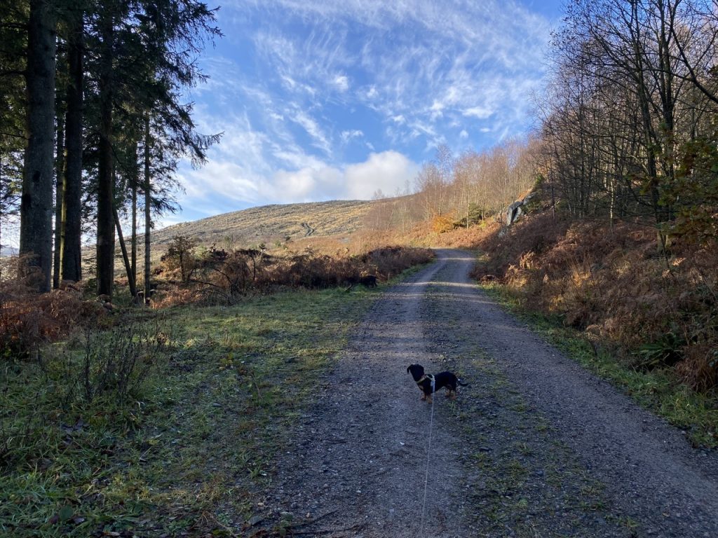
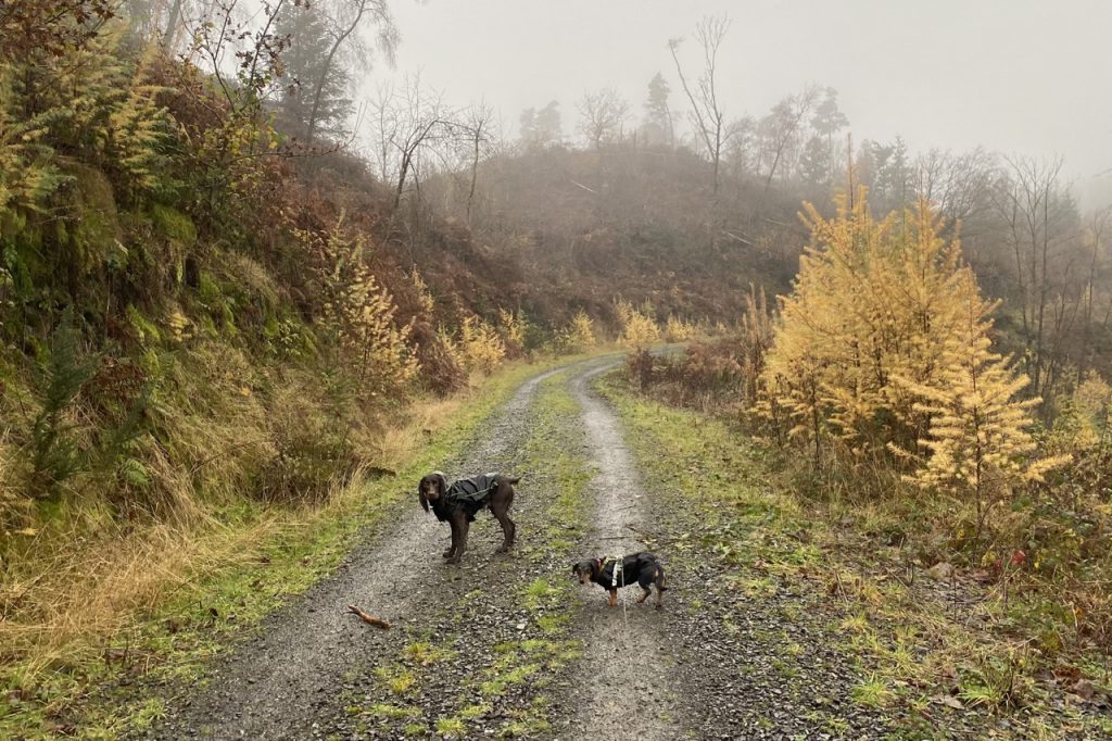
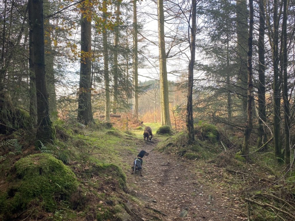
I would be an exaggeration to say Marthrown Hill has been a thorn in my side but it has been a bit of a prickle. Walking around it these last few weeks brought that price to the fore. It had foiled my attempts to uncover its etymology and nine years ago, with a spaniel and a border terrier I failed to reach its lowly top. The terrain, particularly some new fell, was too much for us.
I decided that this time I would have to do it without the dogs. Christy might manage but I doubted Mabel could. I had several possible routes in mind but remained undecided. Since I had two dogs with me (though not the same two as nine years ago), this was just going to be a recce. I would see which direction looked most appealing.
4.84 miles 3h 27m ascent 211m boot-wetness: extreme
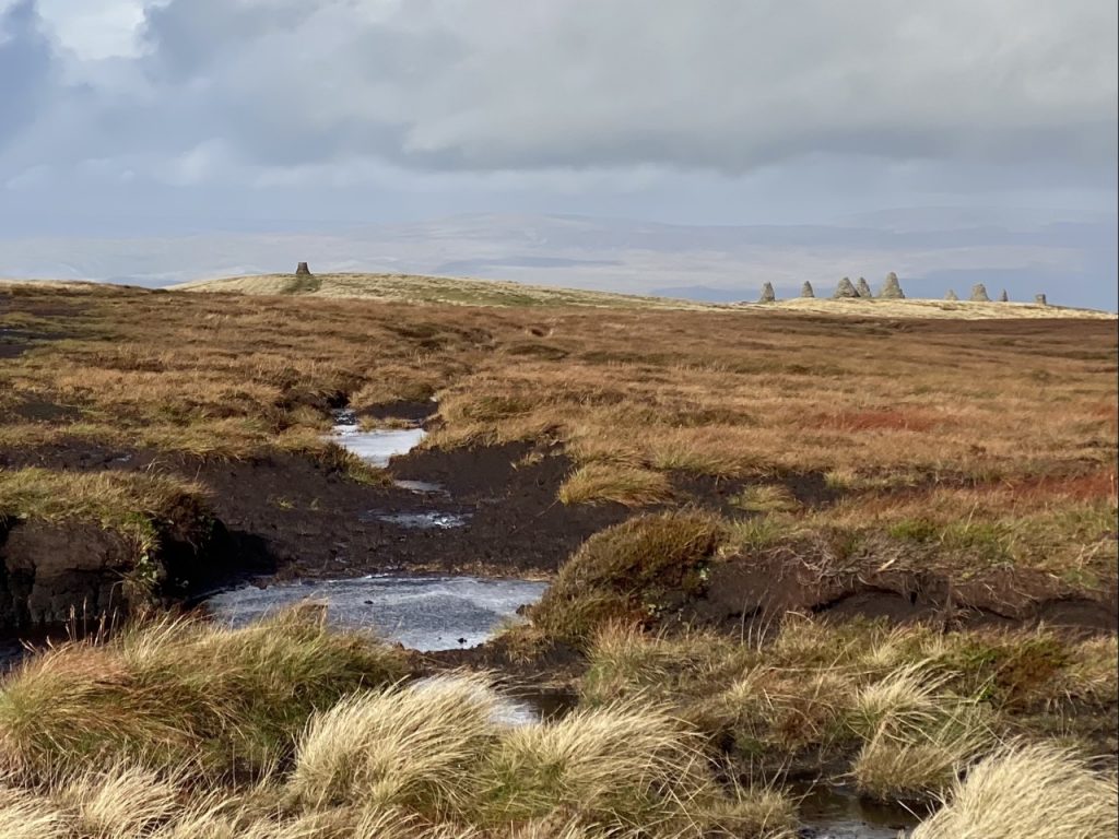
Nateby Common-Nine Standards Rigg circular
This was day 3 of our Kirkby Stephen walks, and following the previous day’s exhausting outing, called for a straightforward route that wasn’t too demanding. Indeed, since it was to be a short walk we decided not to take lunch. We could eat in comfort after the walk. Can you hear the distant maniacal laughter?
Between two sister moorland rills There is a spot that seems to lie Sacred to flow’rets of the hills, And sacred to the sky.
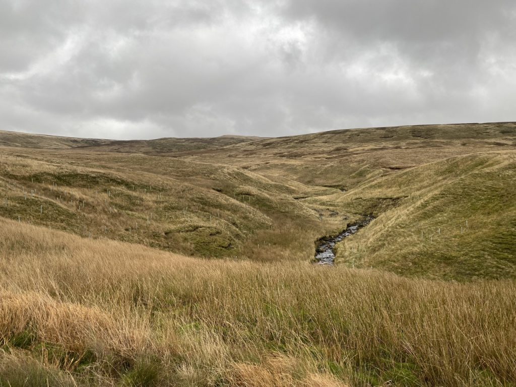
We had slightly damp boots but the weather was decent. It was neither a particularly long walk, nor much of a climb but… Du lieber Gott! … it was a grind. I slept for 12 hours that night. That said, I think it was my favourite section of the Eden Way. There is something atmospheric about a wild moorland walk.
And still of a winter’s night, they say, when the wind is in the trees, When the moon is a ghostly galleon tossed upon cloudy seas, When the road is a ribbon of moonlight over the purple moor, A highwayman comes riding—riding—riding— A highwayman comes riding, up to the old inn-door.
Over the cobbles he clatters and clangs in the dark inn-yard. He taps with his whip on the shutters, but all is locked and barred. He whistles a tune to the window, and who should be waiting there But the landlord’s black-eyed daughter, Bess, the landlord’s daughter, Plaiting a dark red love-knot into her long black hair.
The Highwayman. Alfred Noyes
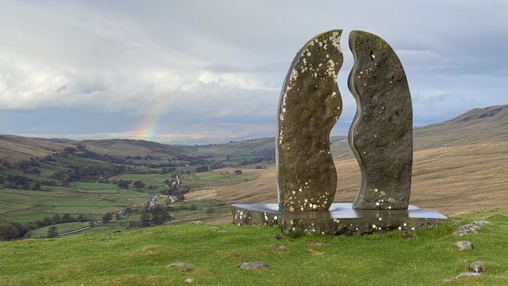
The Eden Way guide offers two routes from Thrang to Hell Gill Bridge, one is closer to the river but more rustic, and one further from the river but on a better path and passing the Watercut Eden Benchmark. I had always intended walking both of these routes but probably as part of separate walks, but a last minute hiccough left us with only one car and a need for a shorter walk. Making these two routes into a circular walk allowed us to go ahead. This took us by origin of the River Eden as a named waterway, as well as the final, and most impressive, benchmark sculpture. I had not realised we would have to ford Hell Gill above its waterfall but that just added to the experience.