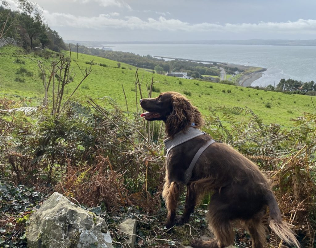
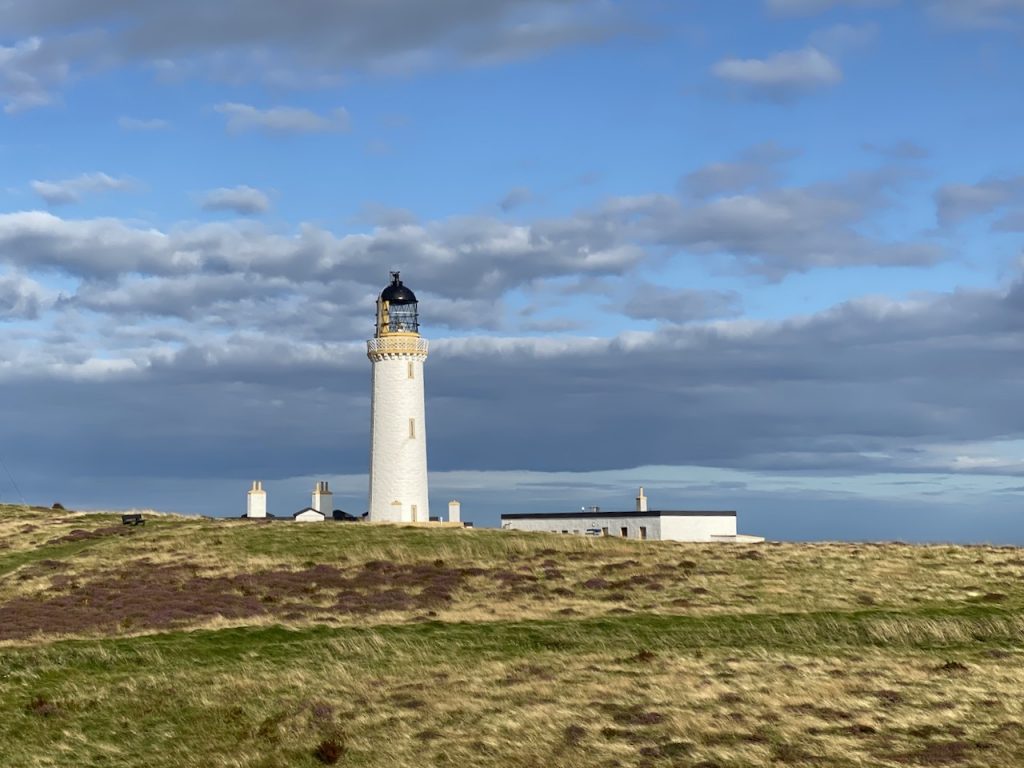
The final leg of the Mull of Galloway Trail took us along the Loch Ryan Coastal Path to Glenapp and from there we walked on to Finnarts Bay.
The name Glenapp might have arisen from LachtAlpin, (Grave of Alpin) named for Alpin mac Echdach, a ninth century King of Dalriada who was assassinated nearby. Laight Moor over which we would walk means Grave Moor, and the Taxing Stone on that moor is said to mark the king’s grave.
Stranraer to Cairnryan on The Loch Ryan Coastal Path
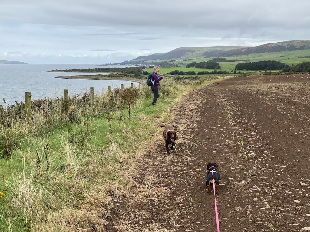
A puncture on the way to Stranraer had me thinking that we would have to postpone the walk but speedy service by Sandmill MOT Centre soon had us back on the road. But we decided on a shorter walk, to Cairnryan rather than Glenapp. As it was, that was for the best. The day proved hotter than expected and a jungle-like session with me carrying one of the dogs sapped my energy. I’m sure we could have made it to Glenapp but I probably wouldn’t have enjoyed the last four miles.
This should have been an easy stroll from Luce Bay to Loch Ryan. Not too far, indeed perhaps too short a leg. The weather forecast promised a hot sunny day, and was spot on. I expected an enjoyable walk with little in the way of challenges but the section between mile-markers 22 and 23 was the jalapeño lurking unsuspected in my sandwich.
It had been quite a while since we had had our walking boots on for anything more than ceremonial purposes, so I had planned a short(ish) section for our return. Just 10 miles. And how pleased I am that I hadn’t thought “way marked trail, no big hills” and gone for a dozen miles or more. The Mull of Galloway Trail has been allowed to mature into its surroundings and has, in places, been suborned by agriculture or reclaimed by nature. It seems to have been way-marked by the sort who look at the map but do not walk the trail they advise.
That said, it was an enjoyable outing. That is not to say that we always enjoyed it in the specious present, though it was agreeable at times. And just as sweetness is better appreciated with a relish of sour, our pleasure was perhaps enhanced by a pinch of adversity. By the time we could glimpse the car and the end of day’s walk was in sight, the sourness was forgotten. Mabel gave up the ghost a hundred metres from the car and had to be carried. Perhaps the dose of joy was just too much for her to carry.
I look back now and remember sunshine, hedgerow flowers, sea birds, rock formations, shingle beaches, cows and sheep on cliff-tops, deer bounding across the fields, the Scare Rocks and views of the Isle of Man, and her calf, across 25 miles of sea. The overgrown, and sometimes elusive path, the fences we had to climb and bramble-laced hedgerows we tramped through are still clear in my memory, but their emotional effects are melting away.
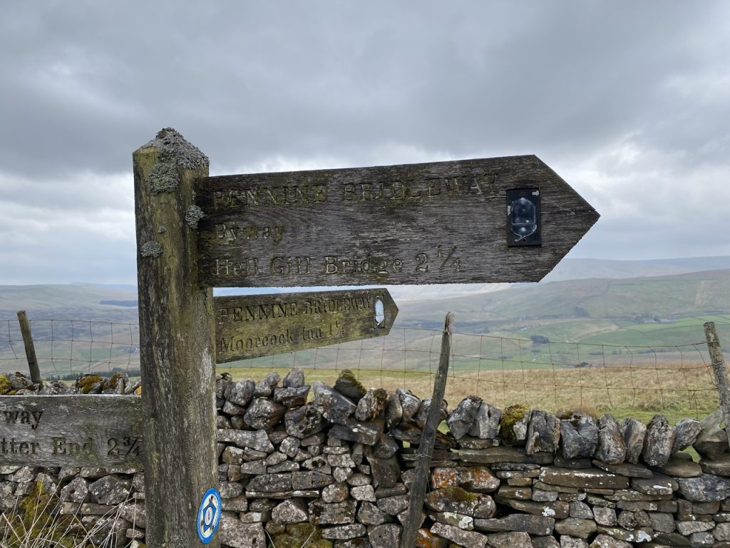
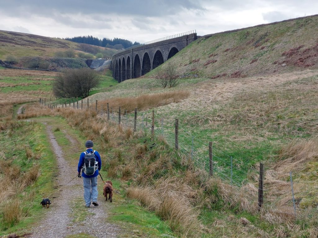
Well, the Eden Way proved to be quite an epic, interrupted as it was by legal lockdowns, common-sense social distancing, various illnesses, and bad weather (too hot and too cold). We had completed the Solway to Source sections and were left the niggling epilogue – Hell Gill Bridge to Garsdale station, a part of the route that really just exists to have the walk end somewhere other than a hill top .
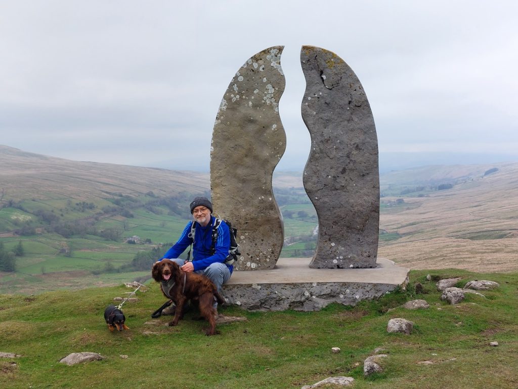
High Hall
The quickest way up to Hell Gill Bridge would have been to park at Aisgill Moor Cottages and walk up the farm track but I thought it would be better to start at Thrang Bridge instead so we could include an Eden Benchmark in the section (even if it was one we had visited before).
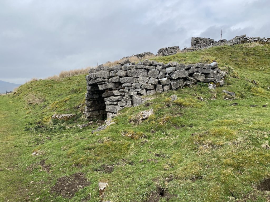
Lime kiln
It was a moorland kind of day. Grey skies with an occasional wink of blue, enough wind to rustle the grass and cool enough to make hats and gloves comfortable.
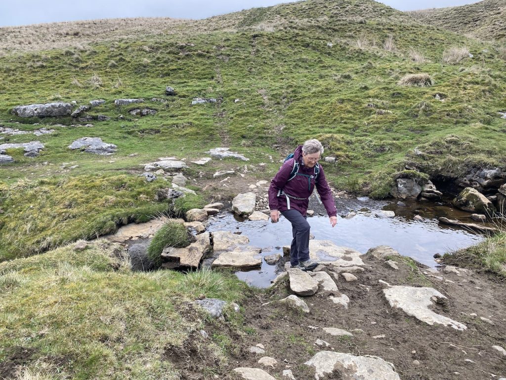
Fording the River Ure
It was dry, which was a nice change, and meant it was easier fording the many becks we crossed. We even had a lunch break on the smooth boulders of a dry stream bed.
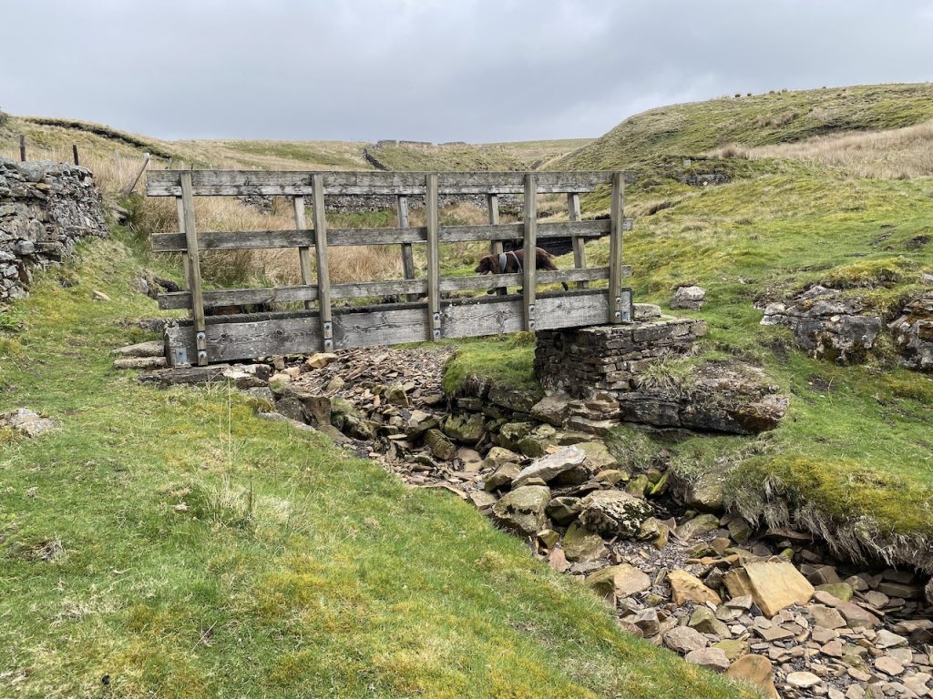
Wee Bridge at Scars Gill
As you can see, the bridge at Scars Gill wasn’t needed.
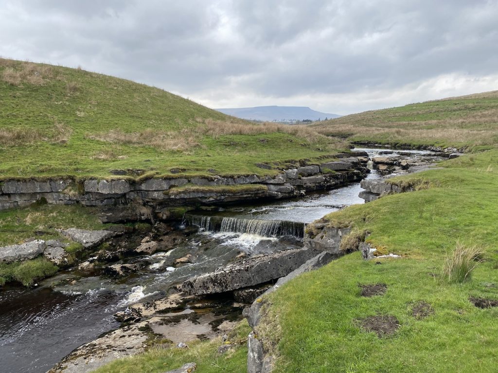
Most of this section was on bridleway or farm track so none of the problems of crossing bogs and the route was usually quite obvious. There were good views along the valley beneath us and some interesting waterfalls on the River Ure.
Ure ForceUre Force bridgethe last mile
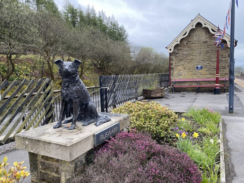
Reaching Garsdale Station, we were able to stop and reflect on our Eden Way journey. We had started way back in 2021, walked 109 miles, and found all the Eden Benchmarks – even the hidden one.
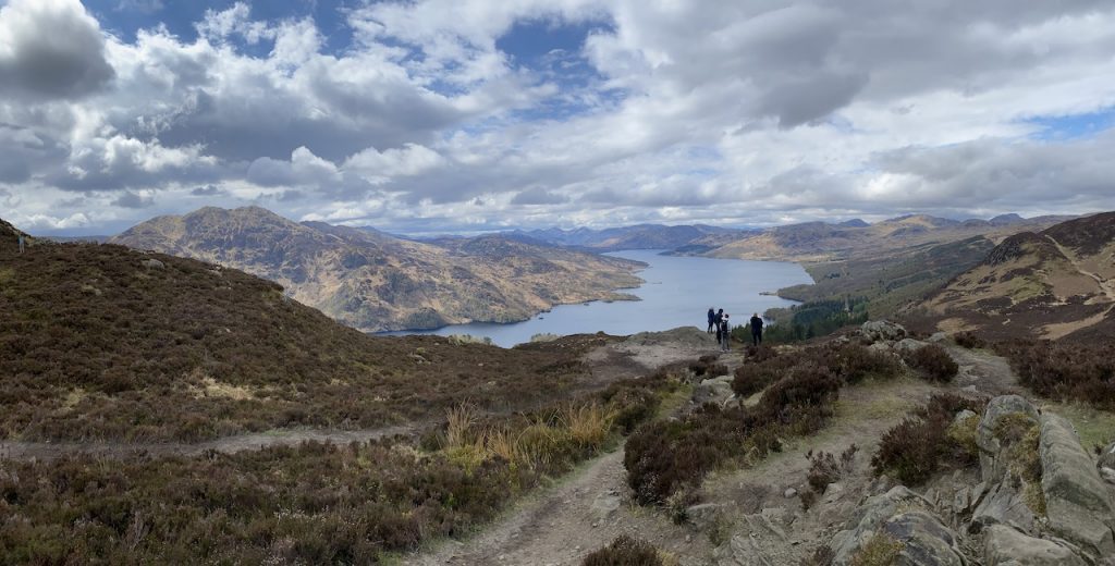
Just two lochs for us, Reòidhte Lochan and Loch Drunkie. We had seen Loch Venachar a couple of days earlier.
There is a map at the car park. But beware, it is oriented with north downwards. And that certainly confused my navigation. We walked along a forestry track closed to vehicles, to the north of Druim Buidhe, that brought us to Loch Drunkie, then back along the Three Lochs Forest Drive.
The hill’s original name is thought to have been Am Binnean, or small pointed peak: a good descriptive name. But Sir Walter Scott called it Ben-An in his poem The Lady of the Lake and that name seems to have been taken up by Ordnance Survey and become the accepted monika.