9.1 miles 720m ascent 3h 43m 2 Donalds
The first dry weekend for a while, so we decided to make the most of it. Rendezvous at the forgettable lay-by between Holywood and Auldgirth then off to Dusrisdeer in sunshine, under blue skies.
Durisdeer is a peaceful, pleasantly appointed village in the middle of nowhere. It lacks only one thing according to David: a pub. I noticed that it also lacked: shops, bus stop, petrol station, tea room/coffee shop and duck pond. It was once, however, on the main route from Edinburgh to Whithorn and would have seen Kings and Queens of Scotland passing through on pilgrimage. In more modern times, it was a location in the 1978 film the Thirty-nine steps.
We set off down and past the cemetery and had about half a mile of relatively flat walking before the real work started. At a sheep pen, filled with dark brown semi-formed slurry, the path forks. We scoffed at the gentle slope and headed up the steeper path, climbing Farthing Rig. Much height was gained in short order, and as we climbed higher, the Lowther Hills, Drumlanrig and Thornhill came into view.
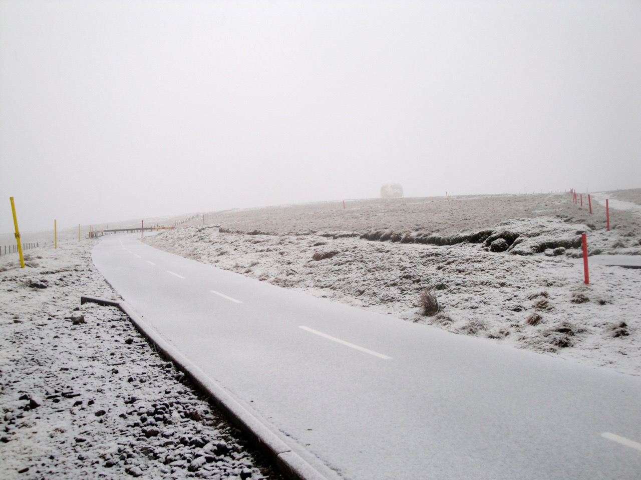
The path eased a little as it passed close by Scaw’d Law, which had a light dusting of snow. This gave us our first view of Wedder Law as the warmth of Durisdeer was replaced by a bitingly cold wind. (I do like a cold wind on a hill.)
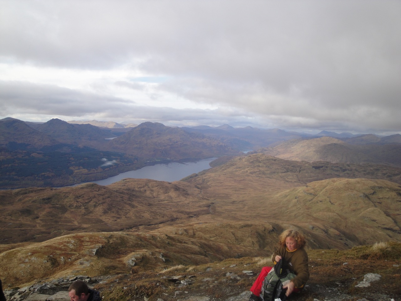
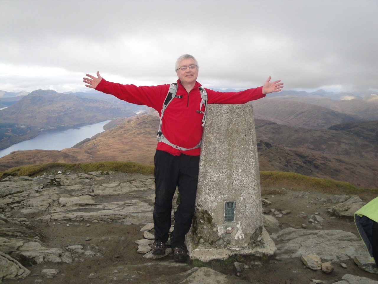
We also saw that a further 150m climb up Wedder lay ahead, but once up there we had great views of the Solway, Moffat Hills and the nearby Queensberry with its neighbours Gana and Earncraig. The summit of Wedder Law is not marked but I had read it was marked by a lone fence post, so we headed for that across some extremely springy moss covered in places with ice/snow. From the fence post we saw an even higher area so headed there for our photo opportunity.
It was decided, using democratic means, that we should leave Gana Hill for another day. Our next decision was to follow the boundary fence to Scaw’d Law or retrace our steps along the track. The distance and climb looked about the same but the ground near the fence was an unknown factor whereas the track was firm. So we walked back down the track to the bothy that had seen better days and up towards Scaw’d Law. There we followed a quad bike track up to the wall at the county boundary. This wall is made of quite small flat rocks quite unlike most of the dry stone walls in D&G.
We then followed the wall across Scaw’d Law, Little Scaw’d Law and Durisdeer Hill, across slightly wet but passable ground. The other Donalds, Ballancleuch Law and Roger Law were to our right.
The way down from Durisdeer hill to the Wald Path was steep but Andy managed to sniff out a path down. Well Hill lay ahead of us, and the path up did look challenging (steep). The democratic method seemed to fail here. Having said I would rather leave it for another day it seemed everyone else was able to claim they wanted to head up it, but in deference to my lack of effort would give it a miss.
I don’t know why the path from Durisdeer to Troloss March is called the Wald path. In fact until I saw the signs I had thought it was the Well path. Wald is an old word for a forest but can apparently mean a once wooded area and is often applied to rolling uplands.
The views walking down the Wald path are impressive. Well Hill, Penbane and Black hill are steep sided grass covered hills and were looking their best bathed in sunshine.
About a mile from Durisdeer is the remains of a roman fort (or a fortlet according to the signs and OS). It is set on the lower slopes of Penbane and is well positioned to cover the path through the valley. I had fallen behind the main group at this point, having stopped to take some photos, and came upon them pointing at the fort while Andy asked “a fort, where?” Should have gone to specsavers.
I had hoped to have a look inside Durisdeer church, but the doors were all locked. The graveyard was mostly covered in snowdrops but the photo doesn’t really capture the moment.
I imagine we will be back to walk the hills to the west of the Wald path.