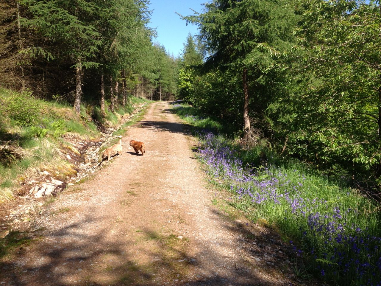
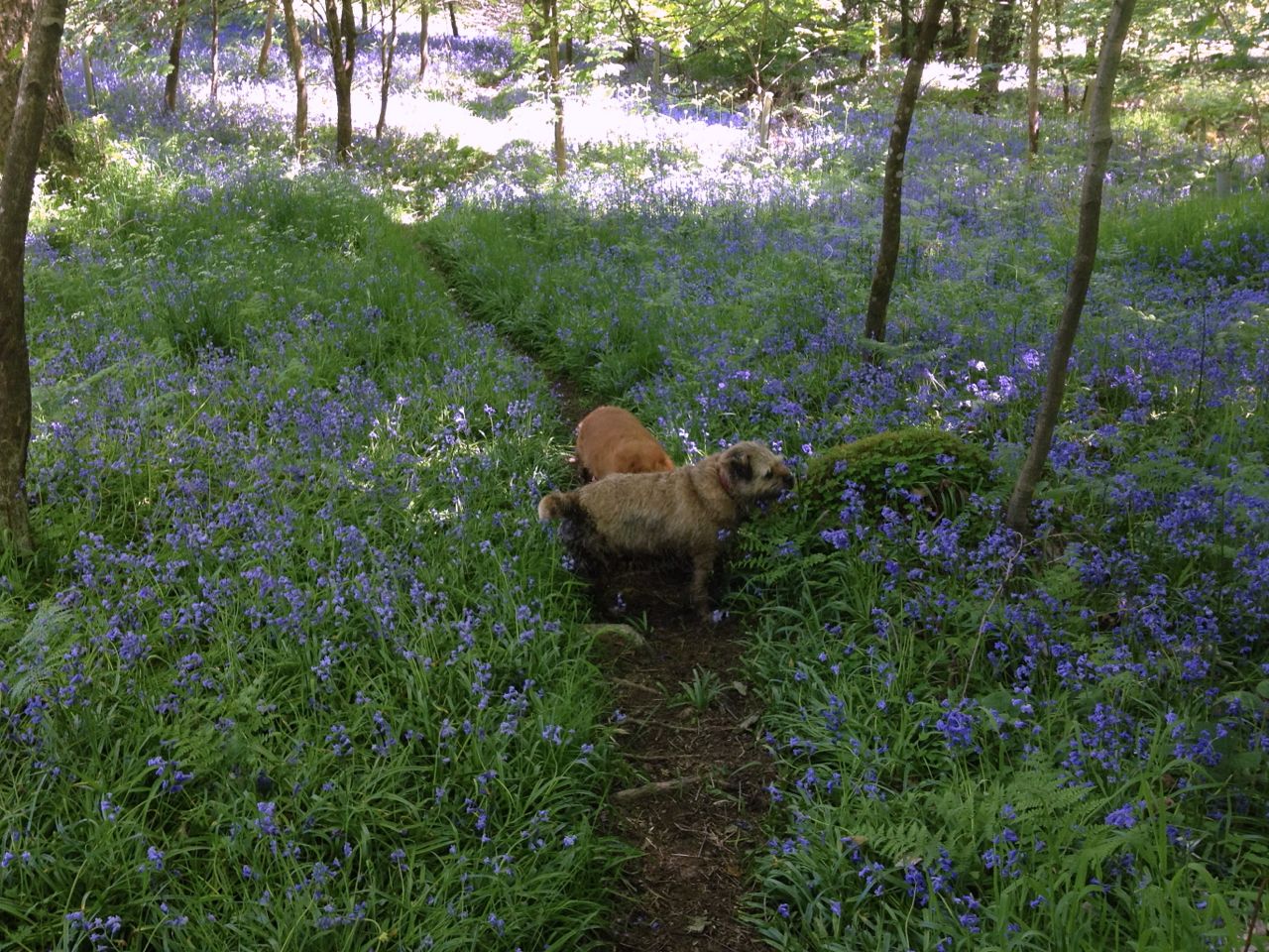
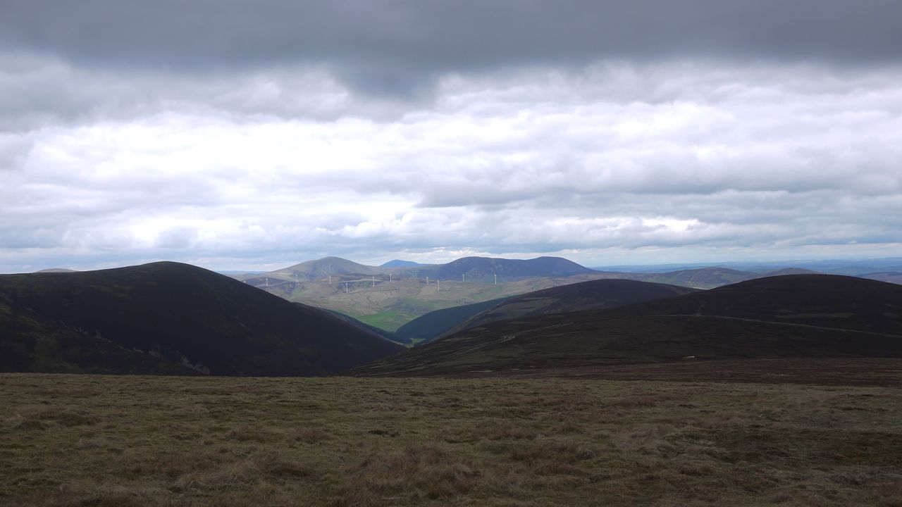
My last ascent of Lotus Hill was opportunistic, and so was this. I had intended taking the dogs along the forest track but could not ignore the siren call of the hill. Bluebells in profusion and new growths of fern carpeted the ground beneath the trees.
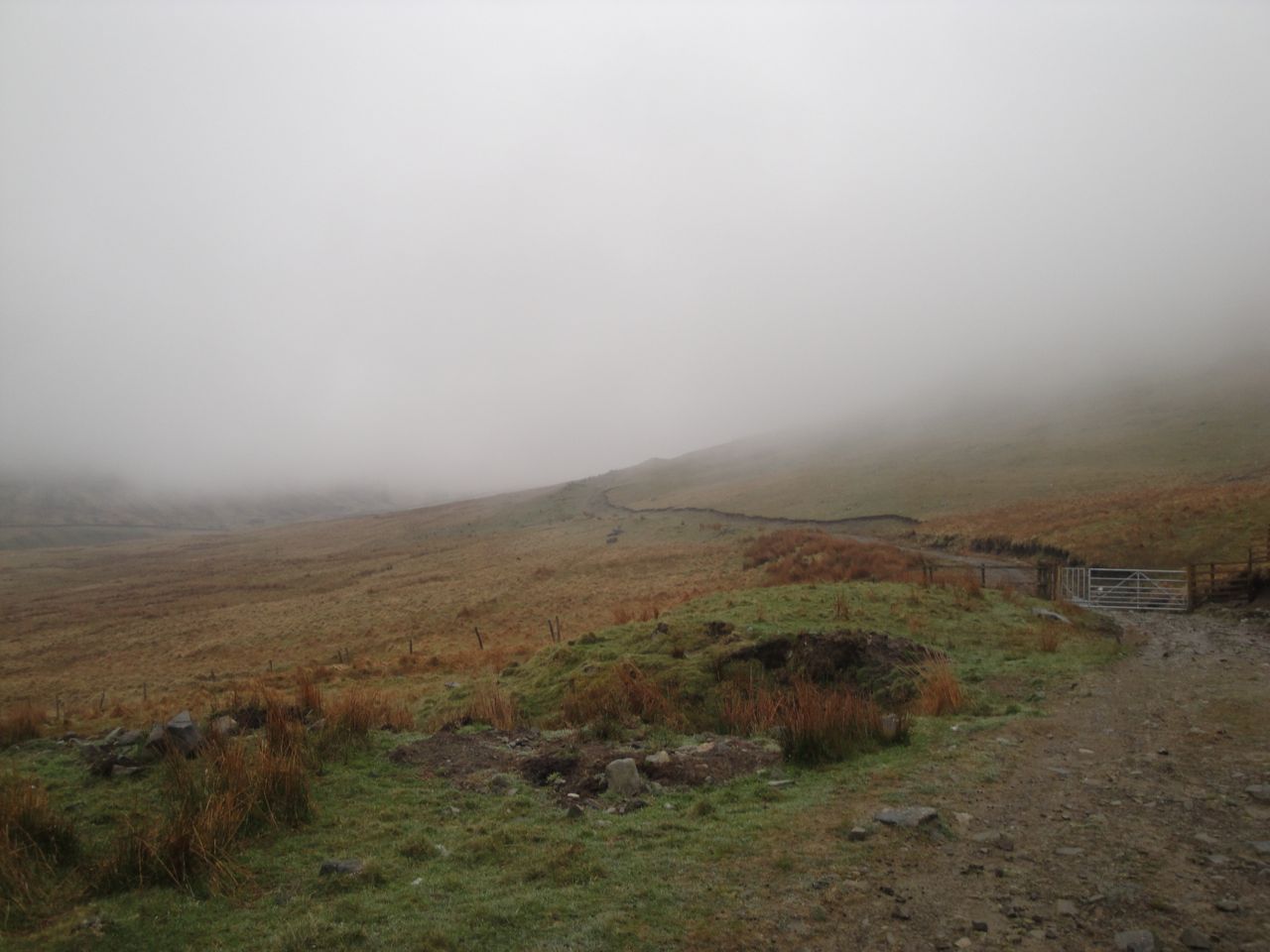
The forestry track
The forestry track ends near a small quarry where I found a piece of sandstone with quartz crystals covering one side. The path then narrows and winds up through the trees. This is usually quite boggy but with the warm sunny weather it was just a little boggy (the dogs sinking to mid-leg level).
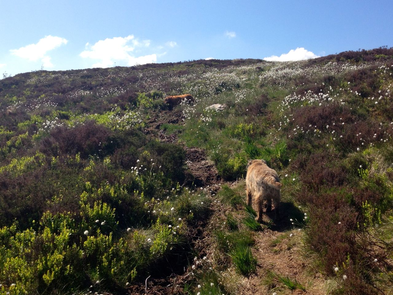
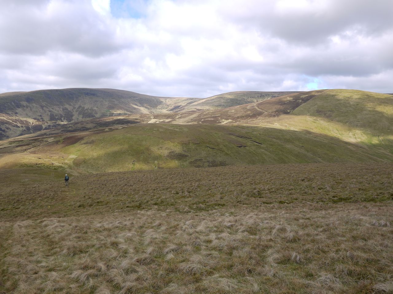
Once above the tree line I was among the heather. Why does the old heather look purple from a distance? Close up it is a combination of old shoots, some light ash colour, some dark brown, with dark green new growth. There were also the bright green leaves of blaeberry, their orange flowers mostly hidden and the contrasting matt green of new fern. Most impressive though were the blankets of bog cotton, .
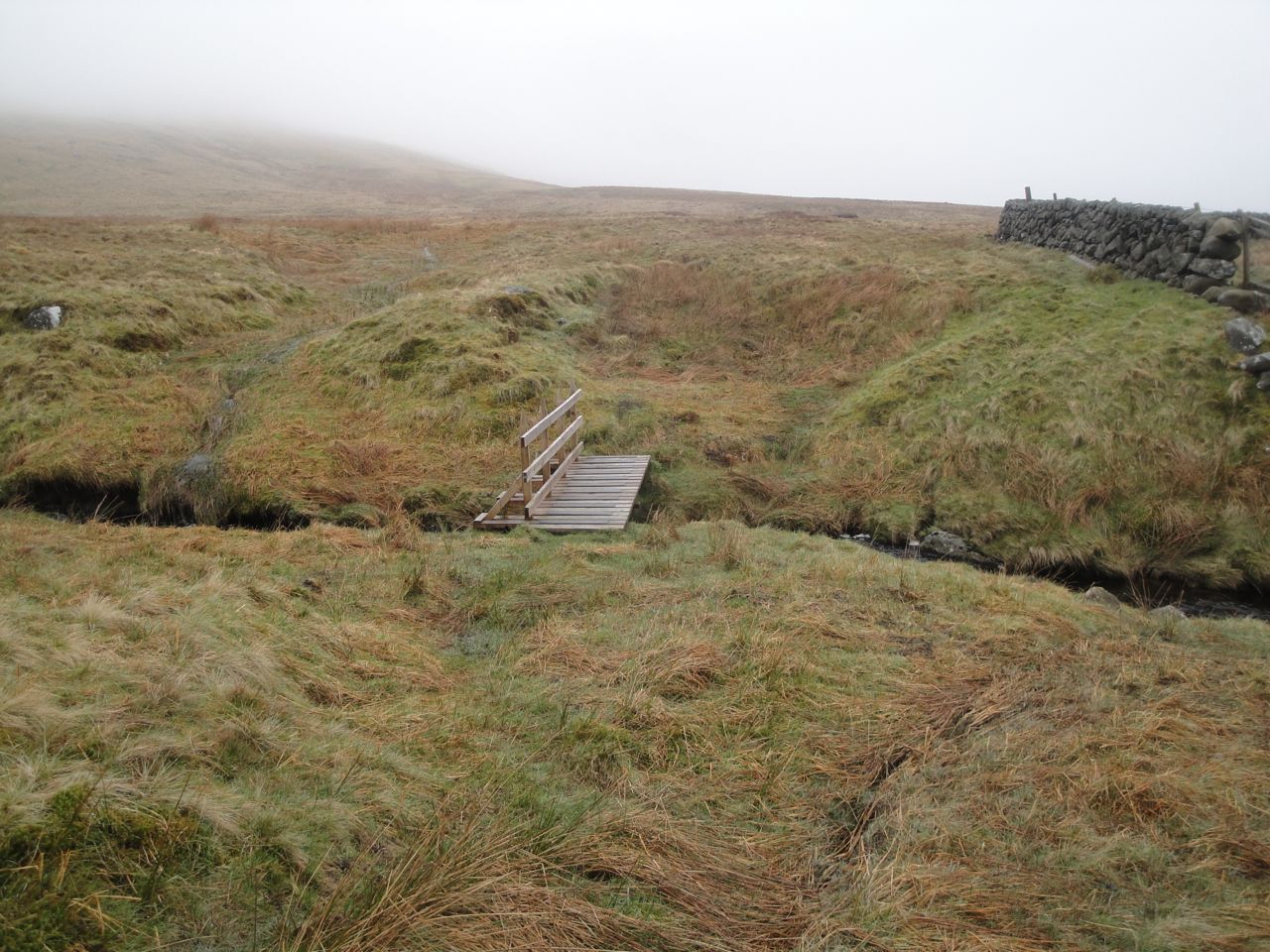
Bog cotton on Lotus Hill
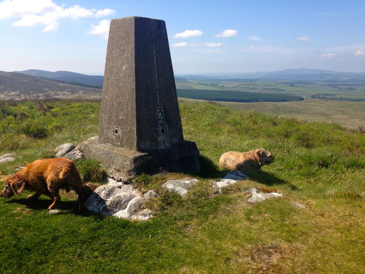
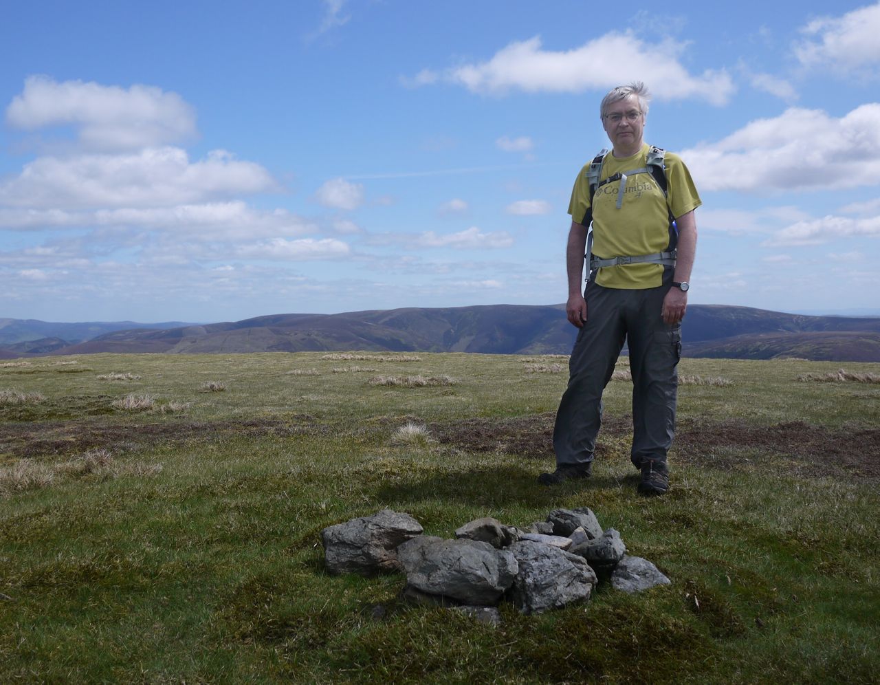
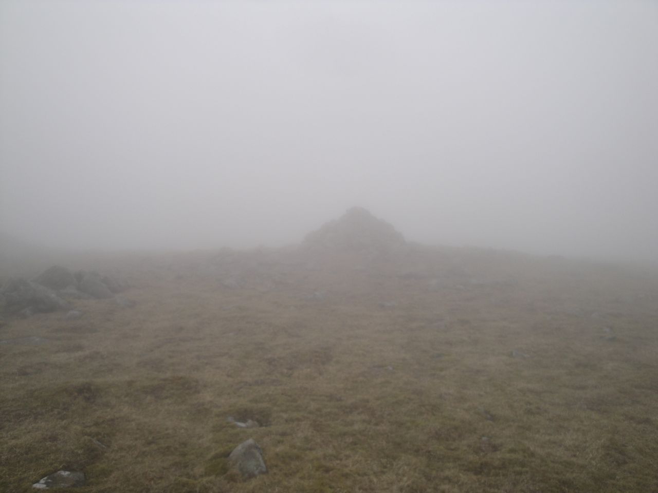
Lotus Hill trig pillar
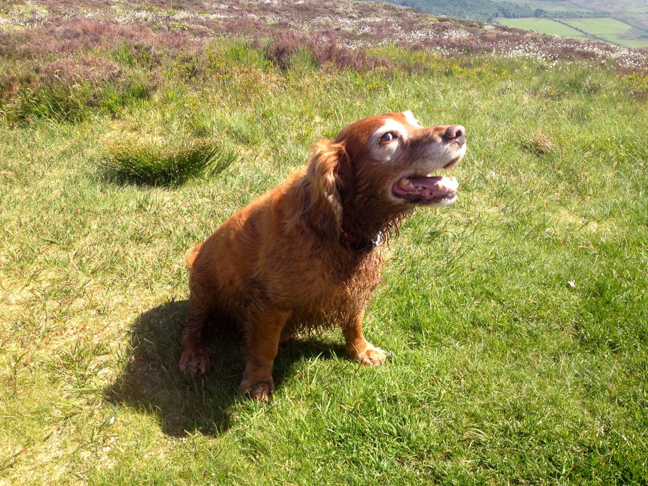
Sweep barking because we stopped
Bluebells at Kissock
Sphagnum moss that seemed dry but wetted my feet when I stood on it.
Lochs
Hills
Sweep unhappy to stop, Leo finding it hard going. Kerplunk of Sweep entering pools.
My red face and arms following this outing are testimony to the sunny weather, but I still found the wind cool enough to need a jacket at time.
The walk started at Kirkhope in the Manor Glen. There was space to park by an oversized passing place by a bridge over the Newholm Hope Burn. I followed the burn and joined the farm track heading up the valley to the ruins at Old Kirkhope. There is a footbridge over Kirkhope Burn but the track ends there.
Ruins at Kirkhope
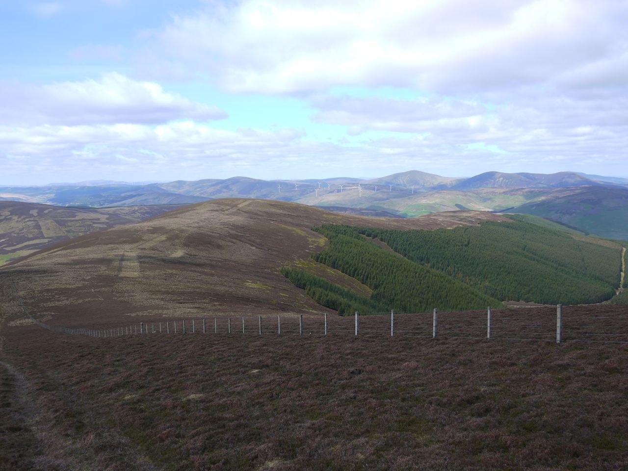
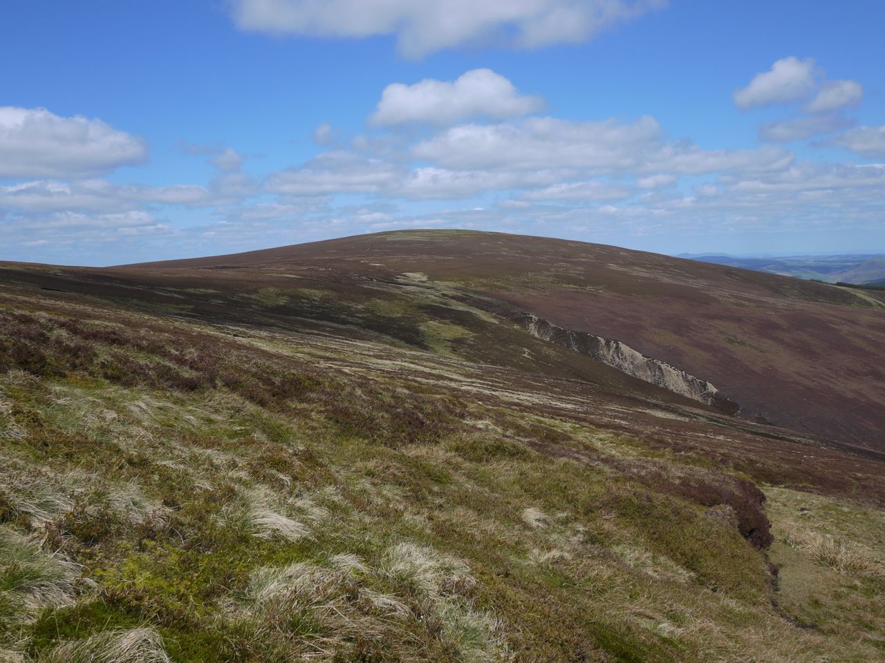
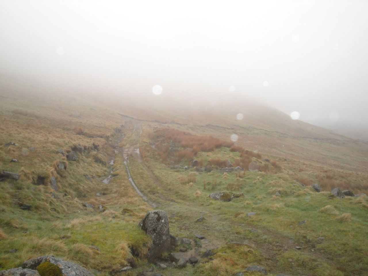
Kirkhope Rig does not have a track but a grassy way weaves its way up towards a cairn on the horizon. The Rig became steeper a little way below the cairn and the grass was replaced with heather but a grassy track zig-zagging up the slope made the going easier.
I left the track to follow a section of burnt heather that I had hoped would take me up to the ground between Long Grain Knowe and Grey Weather Hill, but this curved away to join the Thief’s Road climbing around Dollar Law, so I had to tramp up through the heather. Staying with the zig-zag track would have been easier.
Dollar Law from Kirkhope Rig
Once in the col I had excellent views of Drumelzier Law and, further away, the Culter Hills and Tinto.
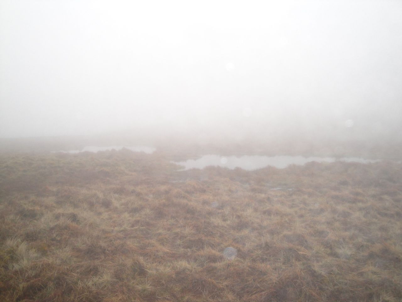
There was a faint track up Long Grain Knowe by the fence and then a wet walk across the Middle Hill. I suppose that section is bog but the Phrase “water meadow” was the one on my mind.
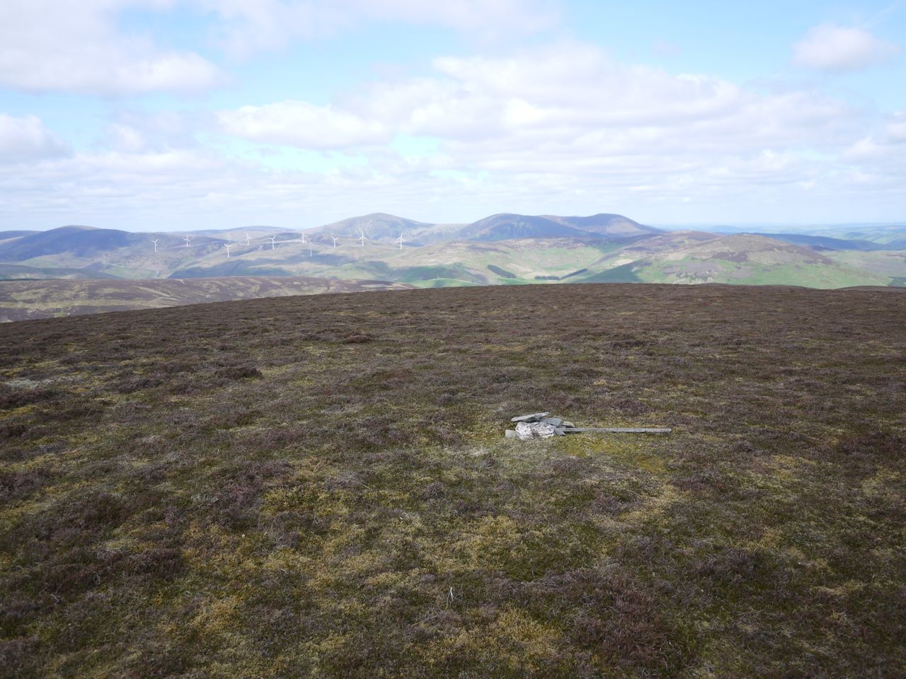
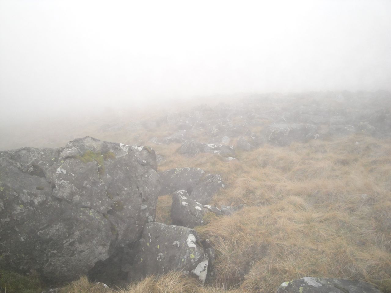
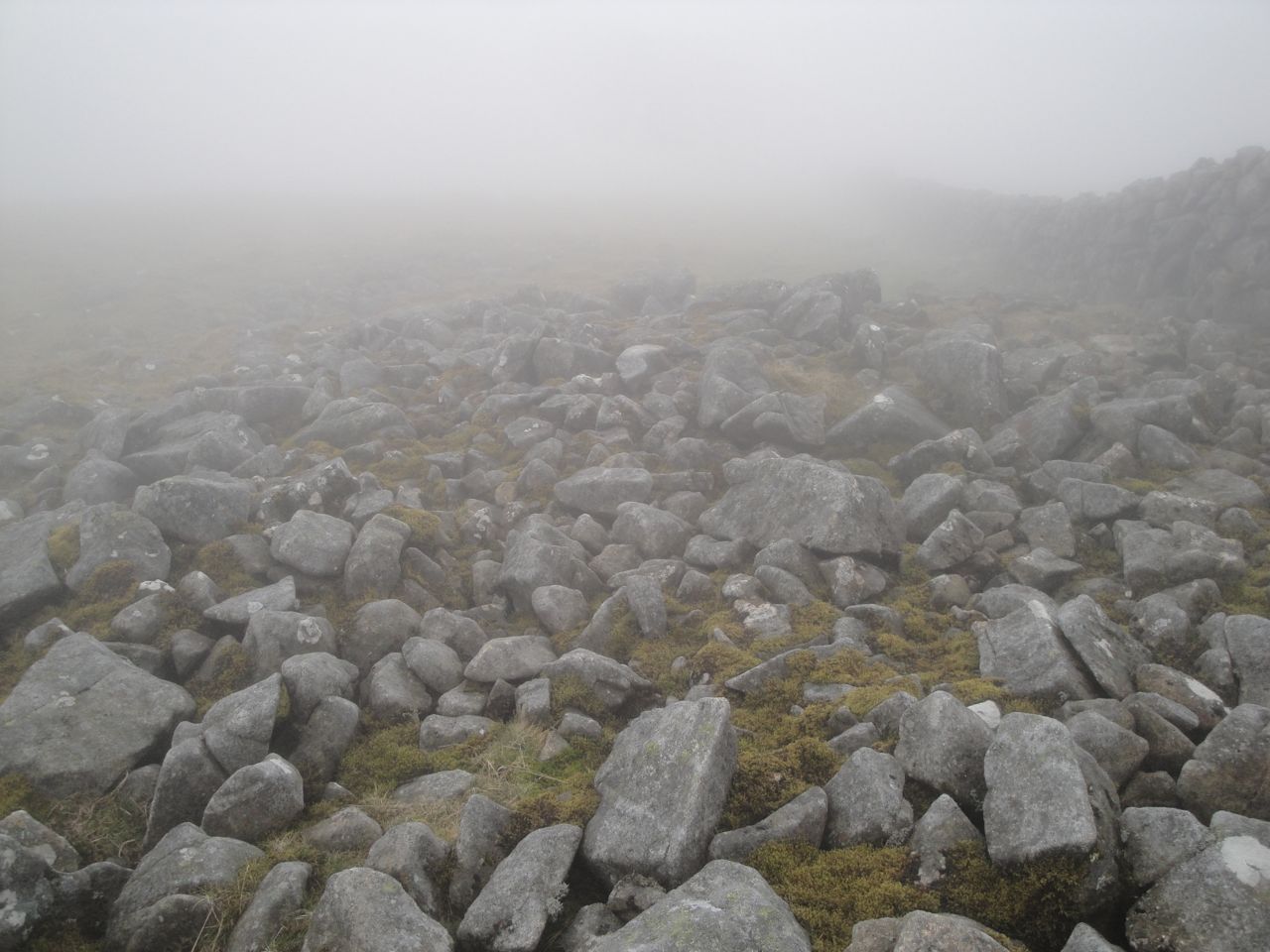
The entire walk could be summed up by describing flat dry grassy summits separated by boggy cols and joined by a fence, but I suppose I could describe the hills summits. Middle hill had no obvious high point or summit marker. Taberon Law had a small cairn which I think was a few metres away from the higher ground. Pykestone Hill had a cairn and the was also covered with sharp stones sticking out of the ground, presumably the origin of its name. The Scrape, my final New Donald, had a small cairn.
Taberon Law from Middle Hill
Taberon Law summit
Pykestone Hill
That all sounds a bit boring but the views were good and I enjoyed the walk.
The Scrape
The Scrape summit
My descent from The Scrape was along the ridge heading east from Pykestone Hill. Rather than climb back up Pykestone hill I headed across from the col along the 680m contour line, watched by a hare. I walked down to a rise above Northey Knowe then headed down the heather covered slopes. I headed towards my car but then spotted a trig pillar in the valley and my curiosity took me down to that. It isn’t on my OS maps but I would put it at about 380m. The central section has been filled with asphalt.
Trig pillar in the Kirkhope Glen
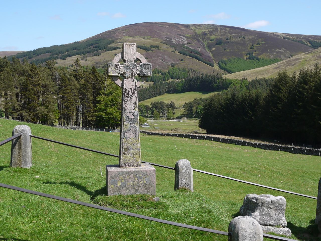
From there I headed down to the Celtic Cross and Font Stone . Though the font stone is marked on maps and has a hollowed top suggestive of a font, it is in fact the remains of the base of another cross. These monuments are supposed mark the site of St Gordian’s Kirk. St Gordian was a Christian Martyr, tortured and beheaded in 362 AD, whose remains are in the Sodality Chapel, Lancashire.
It was then a short stroll back along the track to the car.
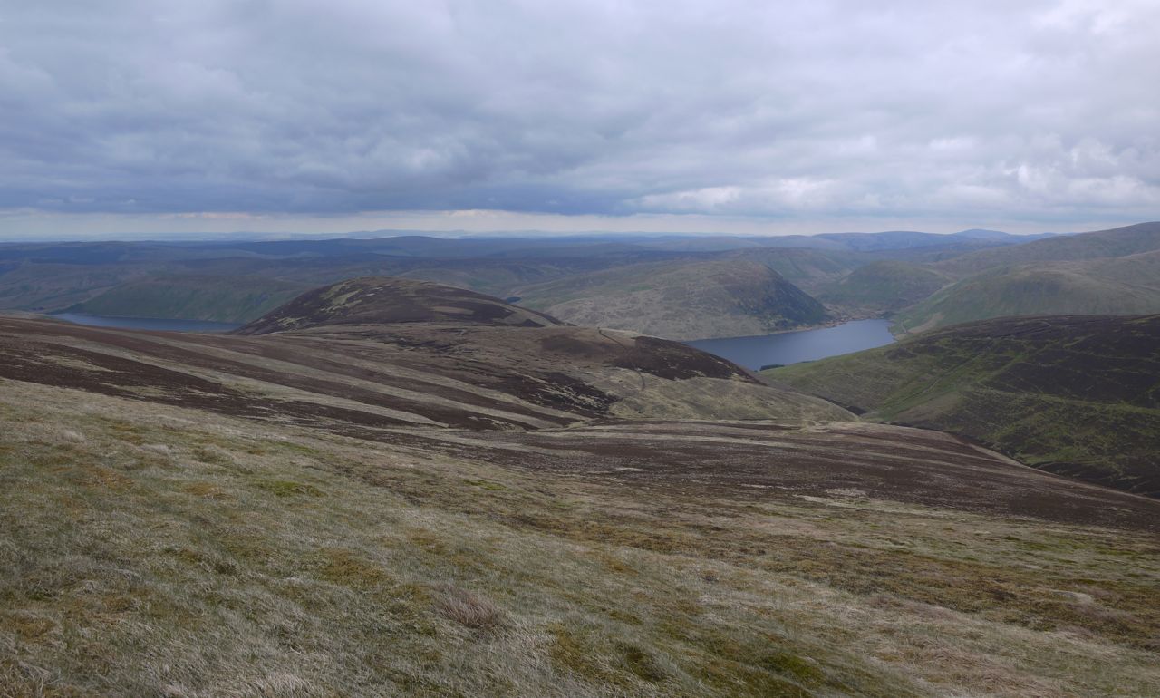
Being the end of May, Summer had shown itself at last. I parked by the viewing area by the Megget reservoir under full cloud cover with a chill in the air, but I set off in my tee-shirt believing the day would brighten up. Sunhat: check. Sunglasses: check. Suncream: check.
I had decided to take a slightly roundabout route to allow a visit to Greenside Law’s south top (Lair Knowe) and Shielhope Head. So I took the footpath that follows Yair Sike from Craigierig and signposted “Manor Water by Foulbrig 4 miles”. I knew there were three likely spots to leave the path: At either of the sheepfolds (at 440m and 530m) or at the highest point (567m). This last doesn’t have a path, or at least I didn’t find it when last I was there, whereas there was an ATV track from the 530m choice. I quite fancied the idea of heading up Cauldstane Rig so left at the dog-leg in the path by the sheepfold at 440m.
An ATV track led off in the right direction but soon veered south so I left it and got warmed up walking through the moorland (heather and bog). I overshot a little and noticed the large cairns of the Rig to my left. One of these is a typical cairn but the other is a small knoll covered in stones giving the impression of a massive cairn. The smaller one had numerous stones on its lower slopes and the two may once have been a pair.
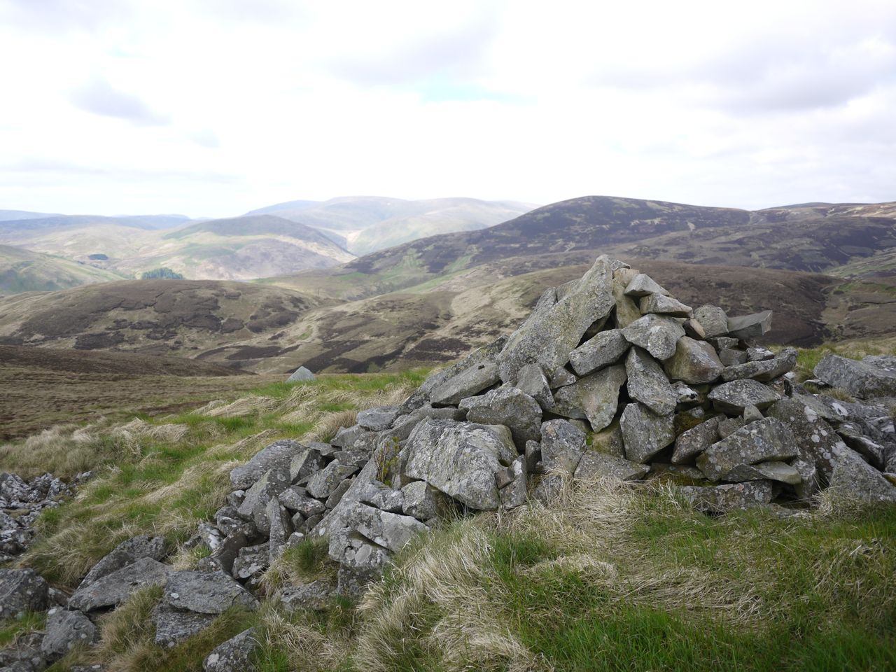
Cairn on Cauldstane Rig
A faint track led up from the south and I wonder if the track I had left earlier might have wound itself up to here. I glanced up towards Greenside Law and could see a faint track heading that way. I had a brief refreshment break then got back up ready to follow the track, but I couldn’t see it now. That what I mean by faint.
Heading up Caulstane Rig I did sometimes get the impression of a track and I found when I looked back it was more obvious. A trick of the light perhaps.
Lair Knowe, Greenside Law’s south top didn’t have any summit marker so I pressed on. I decided to take in Greenside Law again and found the small white threaded thing that looks to be at the summit. The sun was out in the Manor Glen but not on me.
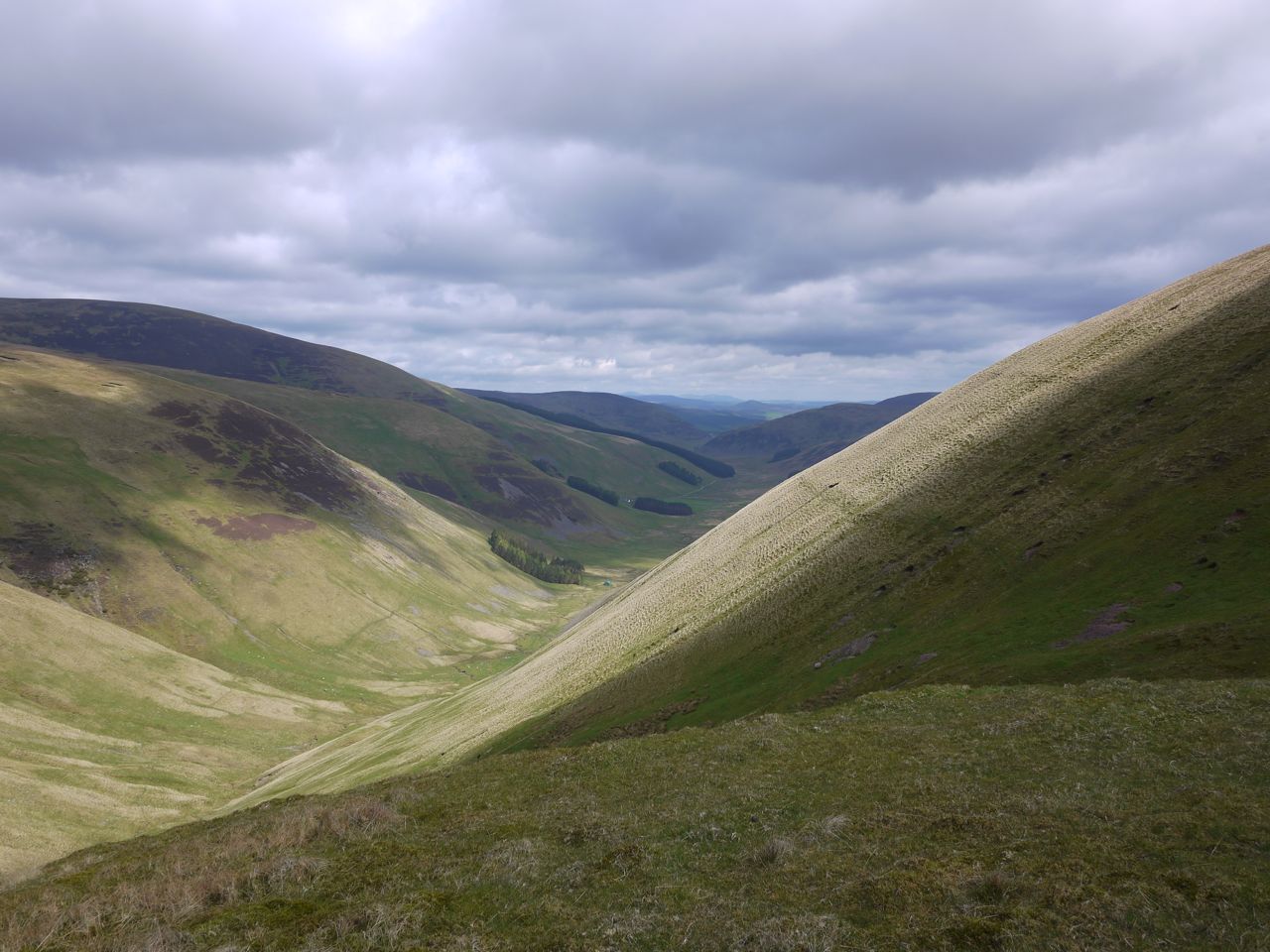
Walking down to Shielhope Head
I then followed the fence down into the col at the head of the Manor Water, walking over to get some better views. There was a lone walker climbing Shielhope Head and I was surprised to see him zig-zagging up the hill, but when I got there a short section was quite steep.
Manor Glen
The col between Notman Law and Shielhope Head was boggy and some diversions were needed to get around the worst of it. Sadly there were some dead sheep and lambs among the hags, victims of the recent heavy snow. The walker ahead of me had used the path around Notman Law, but I when straight up by the fence thinking that would be the least effort overall. The terrain to the SW of the fence was heather whereas I was walking up short grass.
Glenrath Hills from Shielhope
From Notman Law’s summit I dropped down to the easier terrain of the track that I had avoided earlier and continued almost to the gate in the fence. From there I contoured round to a substantial track that climbed up Cramalt Crook to Dun Law. Once on the big ridge the walking was easy going on short grass but the temperature dropped and the wind picked up such that jacket and wooly hat were needed.
The visibility was excellent with the southern Munros and Eildon Hills easily seen. Not much chance of a suntan though.
Cramalt Craig’s cairn was my seat for lunch, a BLT and an apple. Over the last of the coffee I decided to include Hunt Law. Easy enough. Follow the fence down Sherraside Rig. That fence is gone though its line can still be seen in the heather and the odd fence post survives, though I only saw two still upright.
Cramalt Craig summit
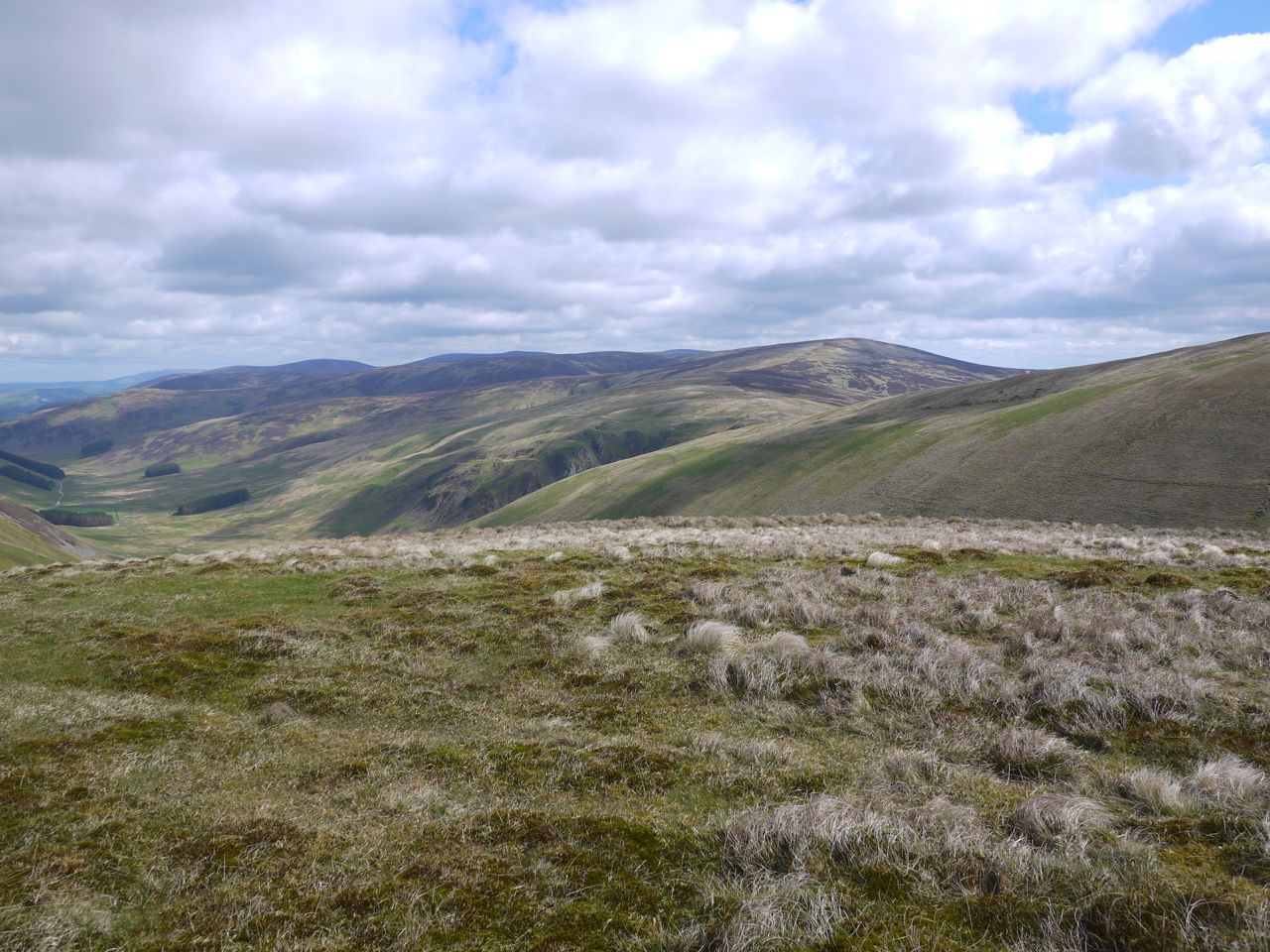
Sherraside Rig is layered, initially firm with short grass, but gradually deteriorating into heather, boggy moss, pools and hags in the col below Hunt Law. There was an ATV track at times but this was often boggier than the surrounding heather. A new looking road crosses Hunt Law just below 600m almost like a rampart guarding the hill, but there was a break in the rampart from which a track ran up to the summit. One of the two remaining fence posts stands where the fence would have changed direction near the summit. There were great views of the Culter Hills, bathed in sunlight.
Culter Hills from Sherraside Rig
I then turned about and headed back towards Cramalt Craig. I wondered if I might by-pass the worst of the bogginess by using the rampart road but it didn’t work out. The road veered too far west and lost too much height so I bit the bullet and climbed back up to the boggy col. The walk back up the rig was a little boring, and being tired it felt steeper than it really was. The jacket and hat were stowed.
Clockmore and Pykestone Knowe from Black Doddy
I contoured around Cramalt Craig at about 770m, initially following a fence that isn’t on the OS. The fence then turned right but I carried on, allowing myself to drift slowly down. Walking across the slope was hard going on the ankles. Once I was on to the slopes of Black Doddy I saw some vehicle tracks heading down a gully and then up onto Pykestone Knowe. The gully must be well drained and much to my surprise was dry except at its lowest point where it crossed a small burn.
The track offered easier walking than the boggy heather of Black Doddy and its peat hags. A little extra descent, and ascent, was a price worth paying. Pykestone Knowe has three cairns, but I found it impossible to get all three in the same photo.
Looking across to Clockmore I had the same choice. An easier walk over flattened heather which dipped 20m below the col, or a trackless direct route through the peat hags. The track won.
Clockmore’s summit is unmarked, any cairns would probably have sunk in the boggy ground. The hill does though have great views of the Tweedsmuir Hills, Moffat Hills and the Megget Reservoir.
Clockmore summit
There was no track to follow off Clockmore so I headed towards the Cramalt Cut. The shape of Clockmore had me approaching hidden slopes but none were especially steep once I could see them. I spotted a cairn and headed for it presuming it might mark a track. It didn’t.
I did eventually pick up a track at 480m that led to a fence which I followed down to the road. Well not all the way to the road. A steep 3m drop stood between me and the road, but proved easier than I expected. The photo at the beginning is Clockmore from Cramalt Cut.
Sunhat: not needed. Sunglasses: not needed. Suncream: not needed.
There is plenty of parking space in the lay-by across the road from the Green Well of Scotland. A new information sign just inside the first gate, has details of a 4 mile route to Cairnsmore of Carsphairn; 2.5 miles on farm track and the remainder on the hill.
The farm track runs alongside the Water of Deugh past first one barn and then another. The track by the second barn disappeared into a quagmire of mud, showing evidence of bovine activity, both hoof and bowel. I had previously passed this way and based on my previous experience had intended sticking by the fence rather than continuing along the track. I should have stuck with that plan.
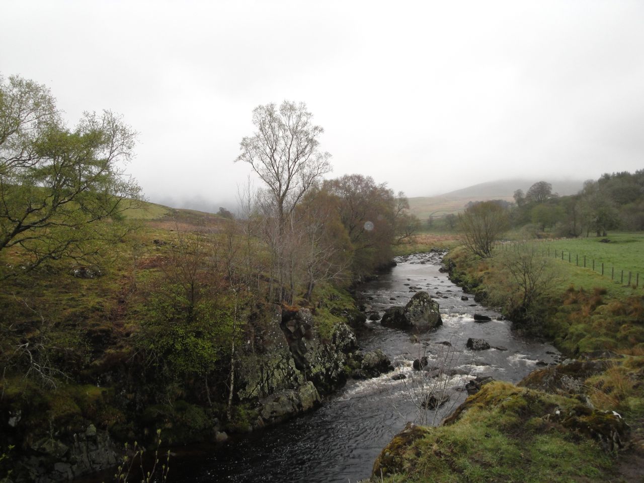
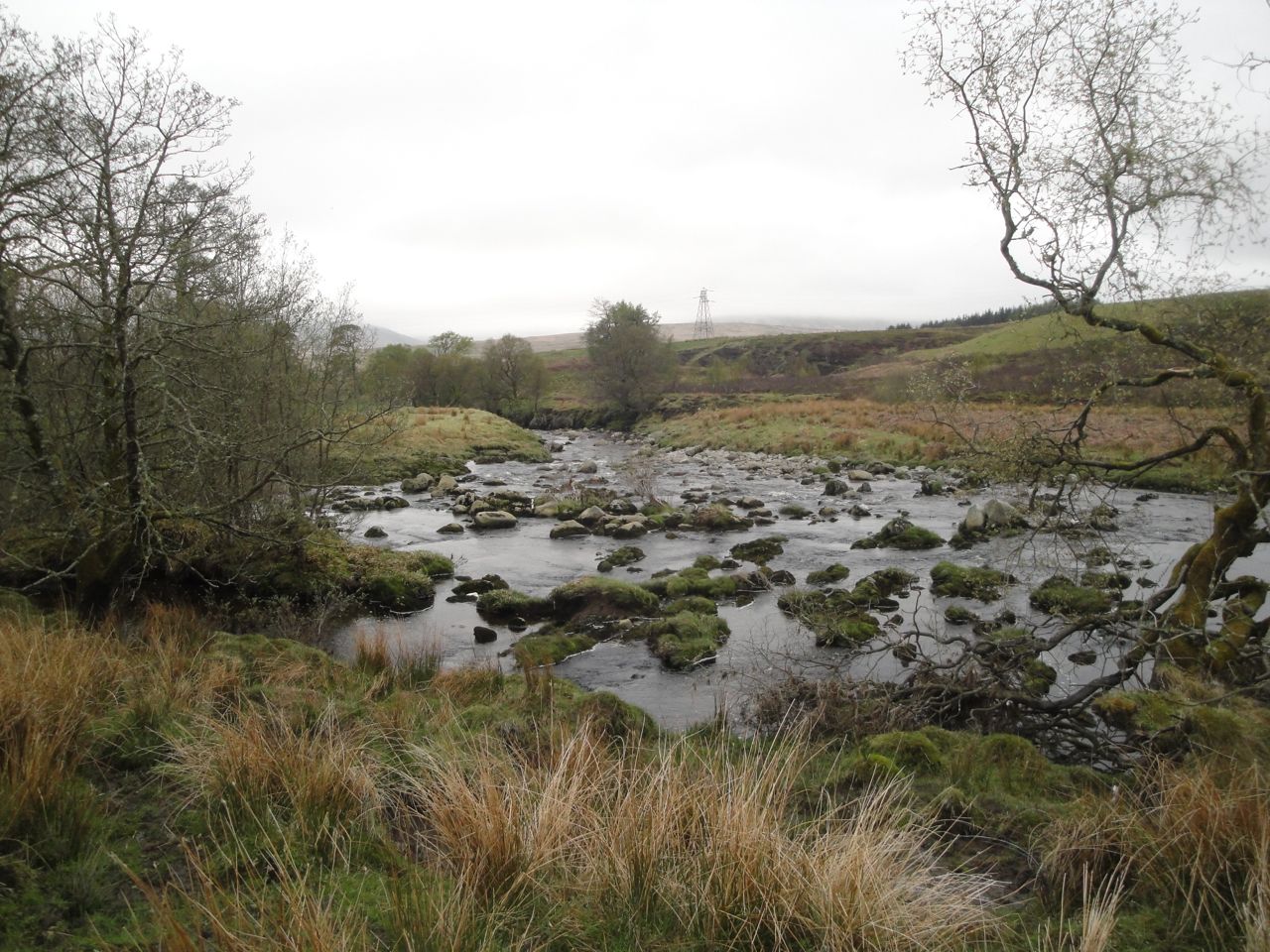
Water of Deugh
But the track looked reasonable so I found myself sinking to mid shin in a mixture of cloying mud and faecal matter. Once out of the field I had to go down to the burn and wash some of it off. I had thought I would be wading the Benloch Burn and was surprised to find a bridge there. The last time I was here, in 2009, there were only the ruins of a bridge.
I had forgotten how much climb there was along the track. My memory had it as virtually flat, whereas reality is 200m of climb. This soon had me in cloud.
Nick of Disgee
On a previous outing I had headed up onto Willieanna, but intended climbing up to the col between Dunool and Black Shoulder this time. I believe there is a cairn that marks a good place to leave the path but in the mist I couldn’t pick out the cairn from the numerous cairn-shaped erratics.
Where I left the track
I left the track after it bent left below Dunool at about NX578969. There was no sign of a path up the slope and the visibility was very poor so I headed up on a bearing for the col. After a couple of hundred metres I met a quad-bike track that led up to the small lochans below Dunool. Presumably the ATV track must have left the farm track a little beyond where I did.
Lochans on Dunool
Once on the ridge, despite the poor visibility, navigation became easier. I just followed the wall up the increasingly rock strewn Black Shoulder. It was too misty to see the large lochan below Black Shoulder. Indeed the wall I was following was sometimes difficult to see when I strayed a little to find an easier way through the rocks. The wall ended as the ground flattened out but a fence continued that wasn’t there 4 years ago (I’ve checked my old photos).
Slopes of Black Shoulder
I was now in a real pea-souper and had to count paces to decide when to head off towards Beninner. Counting off paces, I went 600m along the ridge (by the fence) then 200m contouring to the ridge connecting to Benniner. This worked fine but ended up being more complicated than it needed to be.
Boulder where I headed off the ridge of Black Shoulder
Having climbed the electric fence, after counting off my 600m, I noticed a gate perhaps 25m further along. My contouring to the Beninner ridge, counting as I went, was more wasted counting. I could have just followed the fence, which eventually turned down toward Beninner.
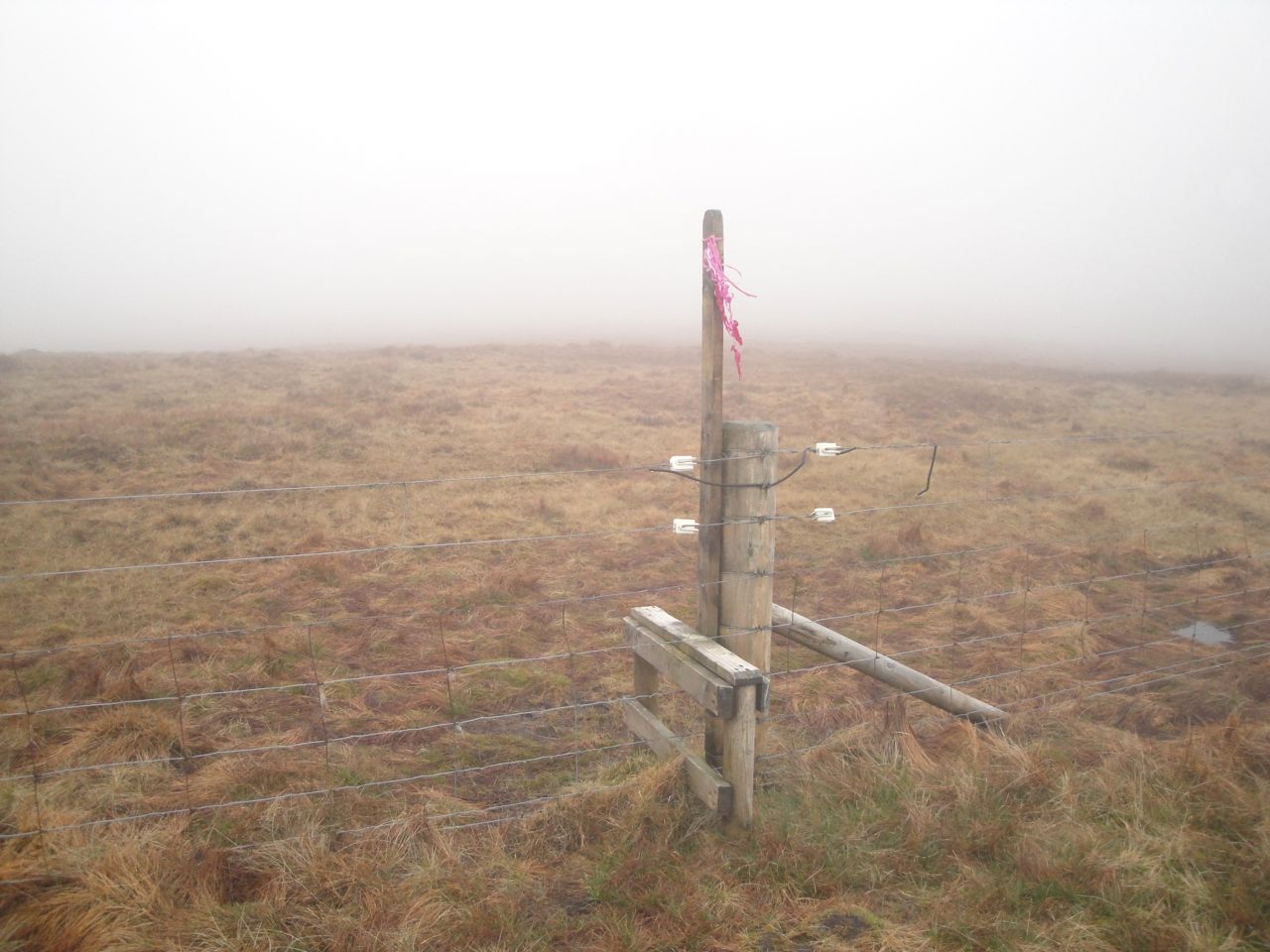
More walking through clouds had me down to the col below Beninner. An electric fence crossed the col but there was a stile with the remains of some pink balloons pinned to it. The col was boggy with several pools of water to avoid but once off the col itself the ground firmed up.
Stile in the Beninner col
The cairn atop Beninner eventually came into view when I was almost upon it. Once there I looked beyond it and saw another large cairn in the distance that looked possibly higher, so I set out to investigate it. But I was fooled by the mist, it was a small rock much closer than I had imagined. I then turned back to see if it was higher only to find that I couldn’t see the original cairn anymore.
Beninner summit
From Beninner I retraced my steps back to the stile with the remnants of balloons, then up to the fence from Black Shoulder. I was then faced with the electric fence again. Luckily, a little way further along was another handy stile.
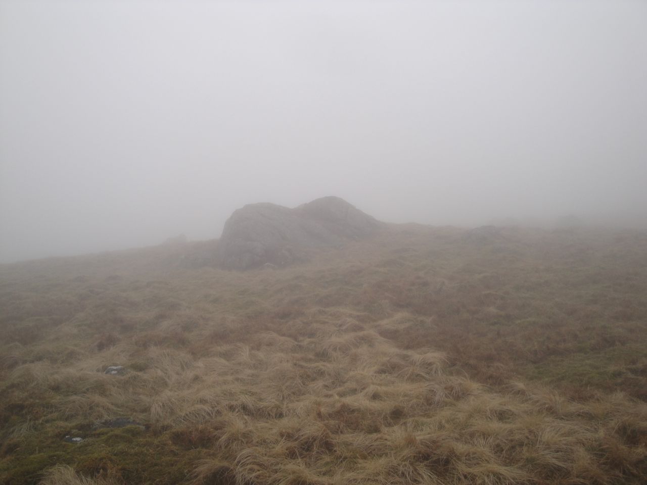
Cairnsmore of Carsphairn
I had thought I was in a pea-souper before but the slopes up to the summit of Cairnsmore of Carsphairn had even worse visibility. So I resorted to the “head uphill” navigation method. Soon enough the summit cairn emerged from the mist.
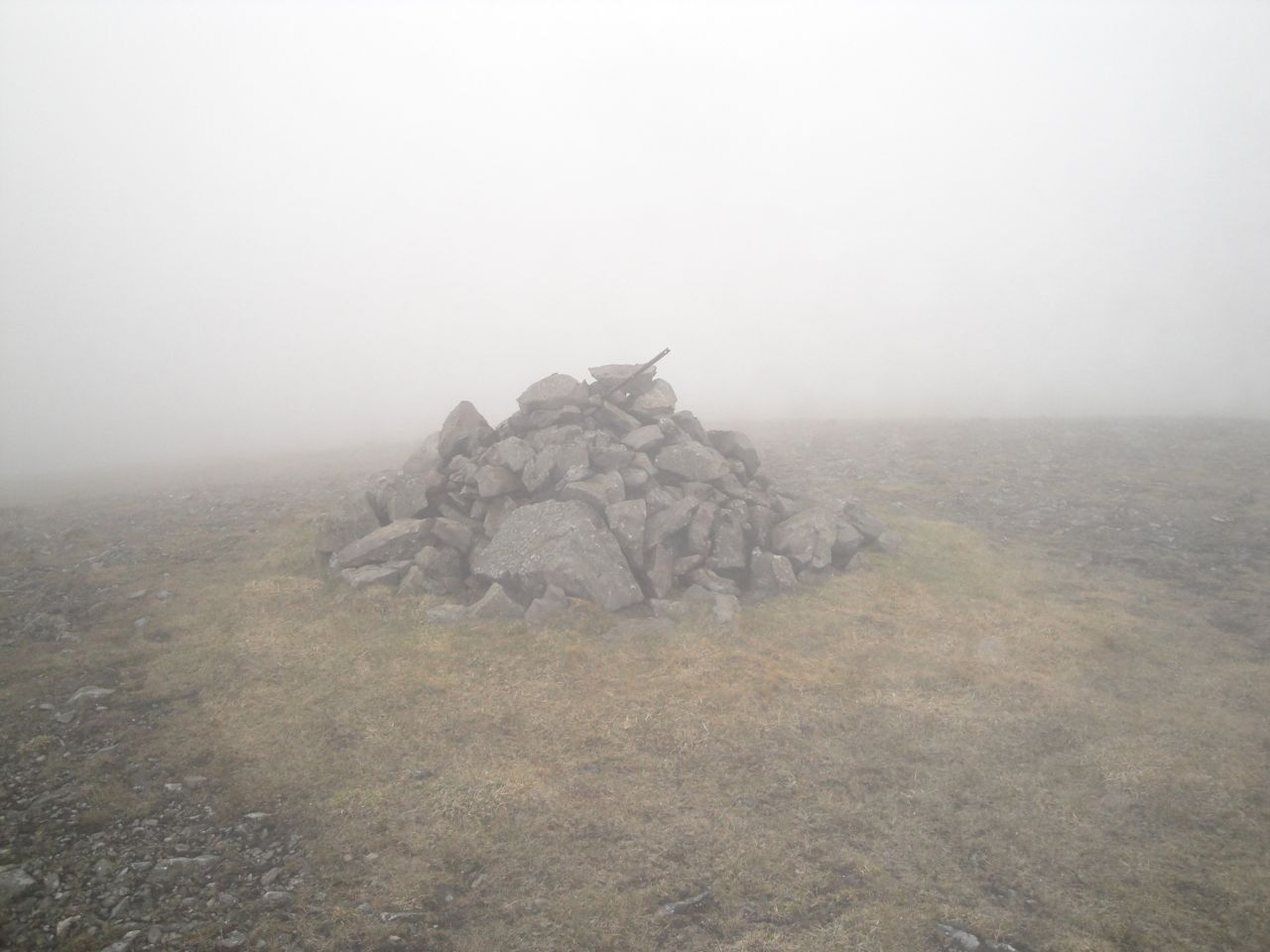
Cairnsmore of Carsphairn summit cairn
Cairnsmore of Carsphairn summit
The summit has a large cairn and a larger stone shelter around the trig pillar. The last time I was up here the visibility was much the same but it was snowing and windy. This time least the air was still and warm, if a little damp.
Throughout this walk I had had the sensation of rain falling on my face, my jacket was damp and my hair was wet enough to drip on the map holder when I looked at it, but any pools of water I saw were still, so I presume the water was precipitating on to me directly from the cloud.
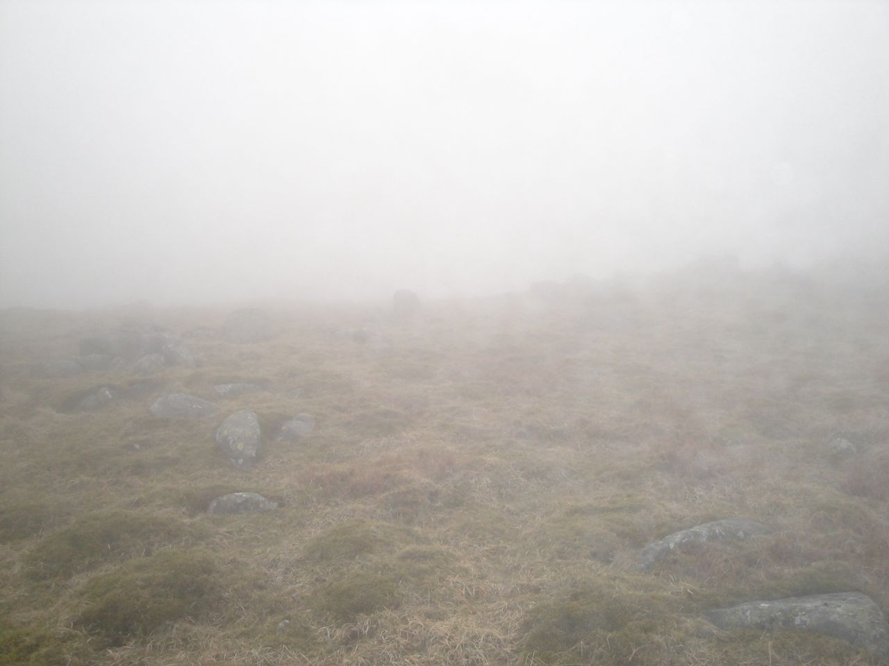
Rocky way off Cairnsmore of Carsphairn
My way down from the summit was SW along the stone wall. The first half of the descent was steep and strewn with slippery rocks. By steep here I’m talking about OMK (Oh My Knees) steepness rather than OMG steepness. The lower slopes were less steep but very waterlogged. I managed to negotiate the steep ankle-turning rocky sections but came a cropper once I was in the lower squelchy zone.
Heading down to the Polsue Burn
The photo above, just as I emerged from the cloud, was taken a little before my unexpected tumble.
I was pleasantly surprised to find another new bridge, this one over the black waters of the Polsue Burn. Having spared my feet a dunking at the burn I then had to cross a section of semi-submerged sphagnum moss to do what the burn might otherwise have done.
Bridge at the Polsue Burn
The final stretch of the walk was back along the farm track, this time skirting around the quagmire by the cowshed.
Water of Deugh
The way down Cairnsmore of Carsphairn on another day, the Rhinns are hidden in cloud.
The views on this walk were somewhat limited so I thought I’d add this last photo taken towards the end of a similar walk in 2009.
Strawberry Hill-Garelet Dod-Ellers Cleuch Rig-Din Law
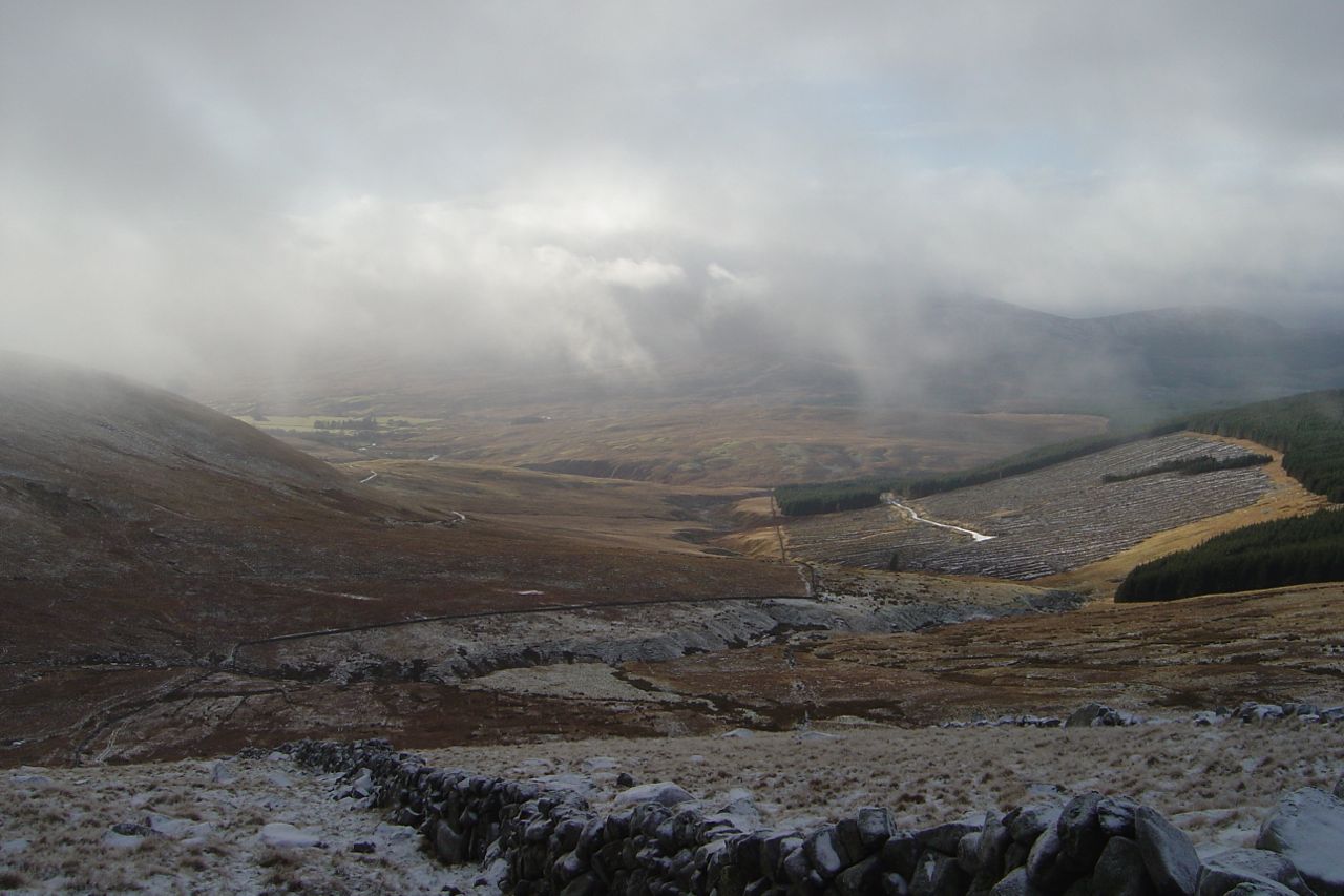
A bad weather day: drow ‘n’ smirr, with strong winds. I drove past the Menzion stones on the way in and parked at end of Fruid reservoir. In better weather I might have taken in Hart Fell, but for this outing my main target was to be Din Law.
My earlier route plans for Din Law would have come across the Gameshope Glen, which I suspect contains more water than the polar ice caps, so given the recent rain I had hoped the Fruid approach would allow me to keep my knees dry.
I parked near Fruid with the view in the photo above and headed directly up Strawberry Hill, beside a fence that is not marked on the OS 25K. The fence eventually turns away and an ATV track appears leading most of the way to Garelet Dod. Strawberry Hill was the larger of many shoulders on the western slopes of Garelet Dod, each offering a false summit horizon. The terrain on steeper section was grass and sparse moss, but less steep sections were waterlogged moss with numerous pools of water. The lower slopes had good views down Fruid reservoir, but higher I was in cloud (and rain).
Fruid reservoir from Strawberry Hill
Looking across to Erie Hill I could understand why it had felt such hard work walking up it six hours into a walk last year. It was when Erie Hill disappeared into cloud that I realised the ‘summit’ I was heading up to was not Garelet Hill’s real summit.
Garelet Dod, Ellers Cleuch Rig and Din Law, from Strawberry Hill
Garelet Dod’s summit plateau is a bog with several low grassy mounds rising up as contenders for summit status. I gave up taking photos of each one when the rain got heavier and my fingers were growing numb. The most promising summit candidate had a track leading over it.
Garelet Dod: Donald where’s yer wellies?
The cloud base was shifting from minute to minute, so sometimes I was in mist and then I would have a clear view across to Gameshope Loch and Ellers Cleuch Rig. From what I could see, the terrain across by the Loch looked none too bad. I had entertained the idea of walking down to the Loch for my lunch but decided against it given the rain and wind.
Gameshope Loch, the lochan is visible on Ellers Cleuch Rig
So I followed the drystone dyke over the boggy section above Garelet Cleuch and up onto Ellers Cleuch Rig. The summit lies just over half way between the dyke and a pair of lochans. I set off from the dyke in mist on a bearing and counting my paces, but by the time I was at the summit the cloud had lifted again. Fruid Reservoir was just visible from the summit.
Brad Moss
I had wanted to visit Ellers Cleuch Rig because it is one of the summits Percy Donald listed as sitting within its own 2000 feet contour but not fulfilling his criteria as a hill or top. I think of these 2000 feet contours as ‘islands’, and have been making an effort to visit them all. There are 110 islands.
Just above Ellers Cleuch
Ellers Cleuch from below
Ellers Cleuch Rig looks rather unimpressive from Garelet Dod, but is more imposing from the south. A steep dip across the upper part of Ellers Cleuch marked a change from the grassy smooth slopes of Garelet Dod to the rocky outcrops of Din Law.
Din Law had some rocky outcrops near the summit which offered both shelter from the wind and somewhere firm to sit for lunch. The cloud even lifted so I could gaze down on Gameshope Loch while eating my sandwiches.
Din Law from Ellers Cleuch Rig
A longer version of this route could continue over Cape Law to Hart Fell and back to Fruid over Birks Craigs but I chose to head down the NW ridge of Din Law. This was easy walking over grass, but the wind was in my face and the rain felt more like hailstones than raindrops. There were some steep sections but nothing particularly worrying except when the slope disappeared over a convexity. On one of the steeper sections I experienced the lubricant effects of sheep poo, reminding me how important it is to watch where I’m stepping.
Fruid from Din Law
Ellers Cleuch would be an alternate route for descent but I didn’t know that until I was looking back up it. I had wondered at its name. Some sources suggest that Eller is Elder (as in Elderflower), while others say it is Scots for Alder (this source being more convincing). There are neither trees nor shrubs in the cleuch now but 7000 to 4000 years ago these hills would have been covered in trees such as Willow, Alder, Hazel, and Birch. The tree cover apparently began to decline about 5600 years ago with increased grazing, burning etc perhaps playing a part. The cleuchs would have been the last places that harboured trees, so perhaps Alders once survived in this cleuch. The Carrifran Wildwood project just a couple of miles away on the other side of Rotten Bottom is attempting to re-establish the ancient tree cover and Alders are being replanted there.
Fruid from the slopes of Din Law at 400m
On the lower slopes of Din Law I found myself amongst the dreaded tussocks with their tangles of bleached leaves. The flatter ground between the base of Din Law and the end of Fruid Reservoir was too wet even for the tussock grass. The muddy ATV track wound over the firmer sections of this wetland. Numerous tributaries join Fruid Water, which itself follows a braided course. The ATV track led through the large sheep pen and followed the east bank of Fruid Water all the way to the reservoir, though on its way it crossed numerous small watercourses. Where the track met these it had usually eroded the banks to create wide fords, but narrower sections that I could easily step across were always only a few paces away. I had expected this last flat section to be very boggy indeed but it wasn’t too bad. Having said that I had wet feet by the end of the walk.
Fruid Water
The line of hills running from Garelet Hill at Talla down to Saddle Yoke at Blackshope would make a great linear walk, though the drive between would be quite a long one. I’ve previously taken the northern hills of this line in a Gameshope Round and the southern hills in a Blackshope Round. These outings missed the central hills, Din Law and Ellers Cleuch Rig so this brief outing allowed me to complete the set.
Fruid Reservoir from the flatlands
The rain had eased off as I drove out so I stopped to get a photo of the Menzion stones, the largest of which appears on the OS as The Giant’s Stone.
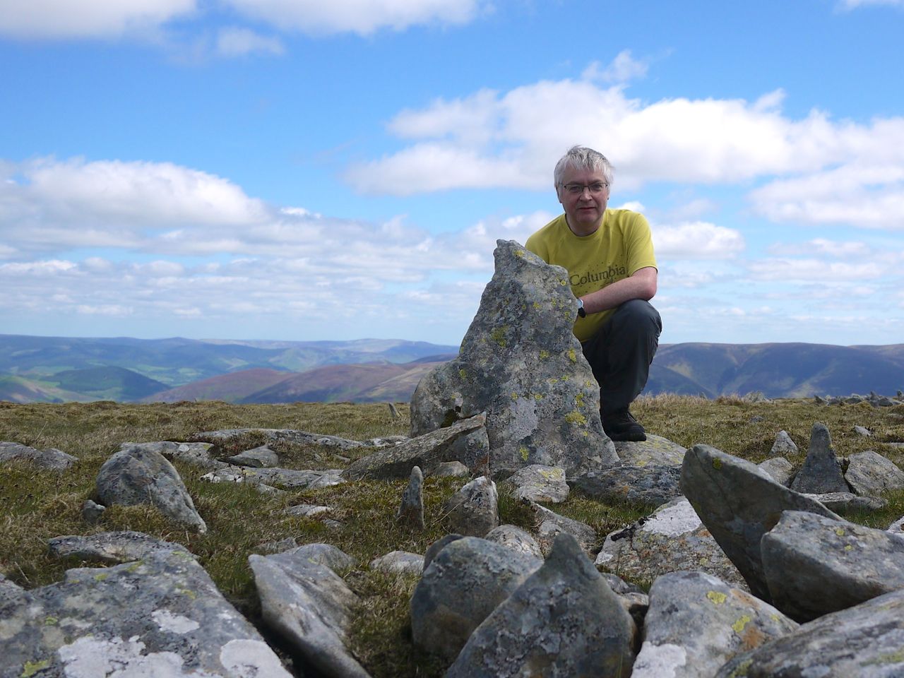
My final Donald, hence my grin in the photograph above. Though this was my longest drive for a Donald-bagging outing, in time if not miles, we still found time to nip down into Jedburgh to see the Abbey. Admittedly, we hadn’t intended doing so but in retrospect we felt the day would have been incomplete without the detour.
We parked at Cocklawfoot and walked up the road to Kelsocleuch Farm where we found a hand-written sign suggesting an alternative route to Windy Gyle avoiding the electric fence. I’ll have to say I have never really had much trouble with electric fences, but it seemed reasonable to take the advice. Safety first.
Kelsocleuch Rig and Windy Rig
The alternative route followed a track along by the Back Burn and then between the stone wall of a field and a stand of trees. At the end of the wall we found another sign pointing left for Windy Gyle. This led us to what once would have been a forest break, but was now just an area less littered with bits of tree than the felled woods either side. There were some trees remaining at the top and once beyond these we could see the way along Kelsocleuch Rig and Windy Rig.
Pennine Way Windy Rig
The walk up this long ridge was a steady climb, and the wind began to pick up, but I was able to escape the worst of it by walking in David’s lee. (Learning point: don’t walk solo if its going to be windy.) Unfortunately we were soon in cloud so there wasn’t much to see. The grassy ridge joined the more substantial pathway of the Pennine way which led up to the summit of Windy Gyle (Windygate Hill on older maps). Though the photos look relatively clear, it was really quiet misty and the large cairn only came into view when we were quite close.
There were a couple cairns at the summit, the largest, Russell’s Cairn, having a trig pillar built into it. Windy Gyle was living up to its name so the stone shelter was useful for our elevenses. It had been suggested that I wear a kilt for my final Donald but given the strong winds I’m glad I didn’t. I wonder if an OS map fits in a sporran?
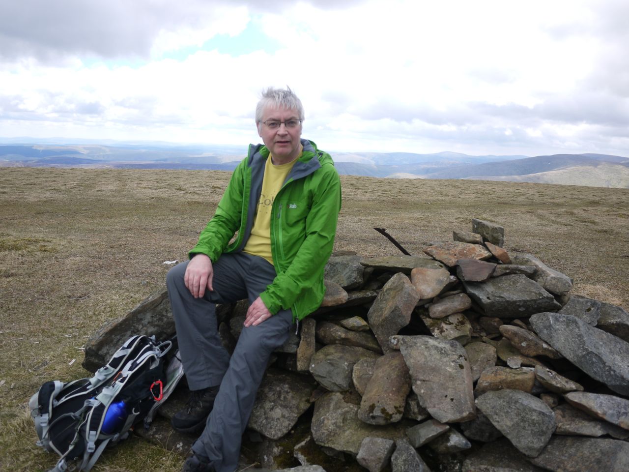
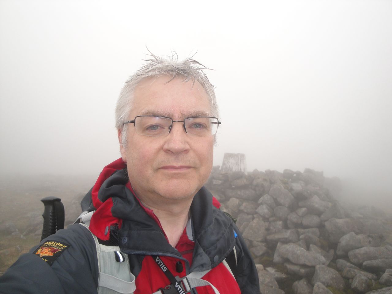
After the food and drink break I stepped up to the trig for my photo-shoot and this being my final Donald I decided to smile for the photographs rather than scowling, blinking or becoming blurred as I usually do.
Windy Gyle
From Windy Gyle we crossed the union boundary to follow the Pennine Way eastwards. The descent from Windy Gyle passed two cairns, the first a stone man perhaps 70m from the fence, the second a substantial cairn with an adjacent shelter by the fence. This second cairn carried a metal pole with a star affixed. I’d noticed the remains of a metal pole in a lump of concrete on the smaller cairn on Windy Gyle, and wonder if it once had a similar star.
Cairn east of Windy Gyle
These two large cairns, one at the summit of Windy Gyle and the other 700m further east, are said to date from the Bronze age (2600BC-700BC). That on Windy Gyle is marked on the OS as Russell’s Cairn, named in memory of an English nobleman, Lord Francis Russell, killed “at a day of truce held at Cocklaw” (some truce), at a meeting of the Wardens of the Middle Marches, in 1585.
By the lower cairn we met a walker heading the opposite way to us, and he surprised me by asking two unexpected questions: 1. Had we come from Bowness? 2. Did we have any beer? He had a book in his map holder that looked like one of Wainwright’s volumes.
Pennine Way at Clennel street
By now the Pennine Way was paved, prompting David to suggest I was leading him up the garden path. If so it was certainly a large garden and somewhat lacking in variety. The next hour or so was, I am sad to say, a tad boring. We plodded along the paved path with nothing to see but fence, mist and flat heather moorland. We could almost have been on a treadmill.
Admittedly there were some breaks from the monotony. Where Clenell Street crossed the ridge there was an actual road sign (No motorised access between April and May) as well as a wooden Pennine Way sign. Some of the sections of path were not paved, depositing us onto soft peat, and in places there were piles of slabs waiting to be laid. Without the trig point at King’s Seat I might have been uncertain we were making timely progess. And as I write this I have a painful left calf and looking back suspect I injured it during the monotony when my heel dropped into a space between two slabs. (Self diagnosis: Grade 1 calf strain). Certainly I didn’t have any pain on Windy Gyle and did by the time I reached the slopes of Cairn Hill.
Paving for the Pennine Way
There was a climb of more than 200m from the lowest section of the Border Ridge to Cairn Hill West Top but it was so gradual you would hardly have noticed it. I do find it difficult assessing how far I have walked in the mist so I was pleased to reach a section of slightly steeper ground since it was a sign we were almost at Cairn Hill West Top.
Cairn Hill West Top
At Cairn Hill West Top, the Pennine Way turned NW towards Auchope Cairn but another garden path headed east to The Cheviot. Our plan had been to decide whether to include the Cheviot once we reached this point and since we were making good time, after pausing for a drink, we headed for the Cheviot.
I had been struck earlier in the walk by how flat the peat heathland of the Border ridge had been, no obvious erosion and not a peat hag in sight. The terrain heading up the Cheviot was very different with quite large hags, the path dipping into the hollows where some of the paving had begun to sink. Cairn Hill had a large cairn and a wooden signpost telling us we were 3/4 mile from the Cheviot summit. The peat here was denuded of plants and so flat that it must have been semi-liquid. A little further on we passed some very deep footprints where someone had ventured off the paving.
The Cheviot
The Cheviot has a trig pillar mounted on a pedestal and since it wasn’t particularly high I felt obliged to clamber up for the photo. I take it that the pedestal was not there when Percy Donald visited in the 1930s since his description of the summit was “The main top is marked with an oasis of broken bottles in a desert of bottomless peat hags”. I didn’t see any broken bottles, so presumably they have been swallowed by the bottomless peat.
The Cheviot at 810m
“Nothing to see here” would sum up the views pretty well. I must say that I have respect for people who climbed this hill before the paving. It must have been hard going though the peat hags and mud. Certainly a walk to save for a frozen day.
The path from Cairn Hill West Top to Auchope Cairn was a raised wooden walkway but work was underway to replace it with slabs. In places the wooden walkway had been removed, in others, where it was still present, the slabs had been dropped onto the path either destroying it or at least blocking it. This meant we weren’t denied the experience of picking our way through the soft peat.
Auchope Cairn
Auchope Cairn had a couple of large cairns at the edge of a small drop, and though we couldn’t see these hills from the Cheviot because of the low cloud, I felt that Auchope Cairn was more of a discrete hill than Cairn Hill West Top. From Auchope Cairn we headed down along the west ridge, following a worn track towards the Mountain Refuge hut.
Hen Hole
As we emerged from the cloud, the Hen Hole became visible, an impressive sight, but the view before me didn’t quite look right. I had expected to see the hut, but couldn’t, so I had a few moments consulting at the map. Despite the lack of a hut we seemed to be heading in the correct direction so pressed on. Within a minute or two I spotted the hut which being the same colour as the surrounding ground had been hard to see initially.
Refuge Hut, Auchope Rig
The mountain refuge hut was snug, with benches to sit on and a visitors book to write in. So for once we had our lunch in the most comfort I have had on a hill, with the wind howling outside but us warm and sheltered inside.
The Cheviot from Auchope Rig
From the Refuge Hut we headed for Auchope Rig but overshot slightly and had to head back. By the time we were descending Auchope Rig there was some sunshine, some blue sky and a distinctly warm wind but the the Cheviot and Windy Gyle were still in cloud.
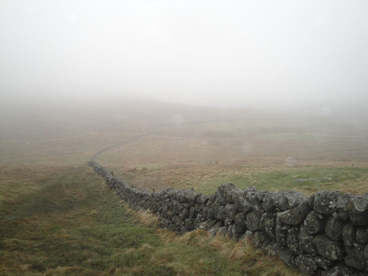
From Auchope Rig we picked up a farm track at a gate, the fence here being topped with barbed wire. The track led us down through Cocklawfoot Farm and back to the car.
My Donald walks have added up to 436 miles and 33717m of ascent. Percy Donald estimated it cost him 2s 9d per hill, for me it has worked out at £11.74 per Donald Hill, which in 1935 money is 4s 2d. He averaged 1.9 mph, I’ve averaged 1.96 mph (the time includes rest stops, so the actual walking speeds will be quicker). I come home after each walk and say “that was a walk and half”, to which Mrs D&S says “you say that every time”. My outings have included every variety of weather except dust storms and tornados. I’ve had a map stolen from me by the wind (despite the lanyard being round my neck), fallen in ditches, waded burns and failed to leap others, heard the kerplunk of stepping into an unseen pool, been sunburnt without seeing the sun, survived savaging by wild midges, slipped in mud slapstick style (flat on my back), stood beneath a construction when it was struck by lightning, and shed blood (on barbed wire). Where do I get my badge?
This was a straightforward route starting from the reservoir; through the forest to Innerdownie; along the ridge to Whitewisp Hill and Tarmangie Hill; across the shallow col to Cairnmorris Hill; along the ridge to Ben Shee then back down to the reservoir.
Glensherup reservoir: a snow-tinged Tarmangie just visible
This is a walk for early birds. The car park at Glensherup Reservoir was almost full when I arrived at 9am and there were already several people fishing in boats on the reservoir. Mine was the last parking space I think. I started by walking across the dam and then up a short steep bank through the trees to reach a forestry track. Previous walkers had left steps in the bank and I can see this section being a slapstick area if it was muddy. At the top of the bank is a signpost for the various reservoir walks. At the top of the bank I met an old chap who looked quite startled to see me and remarked that I must have started out really early. (PS my wife reminds me that other people will think of me as an old chap). I’m not sure where he thought I had come from. Unless he actually knew me and realised I’d driven over a hundred miles to get there? I’ll Have to wait and see if any acquaintances complain grumpily that I just walked by them near Glensherup.
The forestry track climbed gently through the trees around Gled’s Nose (a wonderful name for a hill), the sun beating down and the air filled with birdsong. I do wish I could recognise different birdsongs. Perhaps I should try listening to recordings of the five most common, then listen out for them when walking. The rocks by the track were also unusual. The banks by the track had been quarried, presumably to get rocks for the track itself, and didn’t look the the rocks I’m used to seeing. The closest description I could come up with was that they were the shape, but much larger than, pieces of crumble (as in an apple crumble). The unquarried rock face looked much the same and I could not make out any definite layering. I looked as though it might be volcanic rather than sedimentary. I’ll have to look up the geology I suppose.
I had been in two minds as to how I might get up to the ridge NE of Innerdownie. There were two forest breaks from Lamb Hill on the map, the first being longer and steeper, so I had thought the second would be the better choice. The trees on the OS map and on Google Earth images have been felled and I regard felled forest as “avoid at all costs” terrain, but where the first forest break would have been, by a small burn, there was a faint track of trampled grass heading up that looked inviting. I did wonder if if might turn out to be trap to lead me into a morass of ditches and felled trees, but what the hell.
View down Lamb Hill
The hillside had newly planted spruce, the saplings about knee to thigh high. The track had some sections too boggy to walk across and was occasionally obstructed with the remnants of earlier felling, but the ground was mostly firm and it proved to be an easy climb. I imagine it will become a more difficult route once the trees have grown.
For once, the tree lined horizon ahead of me was actually the ridge and not a false horizon. Some of the trees left at the apex of the ridge looked to be prostrate forms, having presumably been blown over in some past maelstrom. As I approached the trees I could spy a deer fence just beyond them and beyond the trees was a ladder stile, so presumably my route is in regular use. I had climbed in bright sunshine in a tee-shirt but once on the ridge a cold wind soon had me in jacket, hat and gloves. It was a north wind so I’m surprised I hadn’t felt it on the climb through the baby trees.
Ladder on Glenquey Hill, below Innerdownie
The ridge to Innerdownie had a well worn track which followed the stone dyke, so the remainder of the climb was easy, though I was fooled a false summit. There was another ladder over the deer fence further up but I didn’t investigate whether there was a track down beyond the trees there.
Innerdownie summit cairn
Innerdownie’s summit has a large cairn and extensive views both north, to the crystal clear snow-capped munros, and south in haze to the Forth. Just beyond Innerdownie there was a rock outcrop with a wall built to shelter the open face. A good place to shelter but it was still a bit early for a break so I pressed on.
Shelter below Innerdownie
From Innerdownie the track continued over Bentie Knowe, a small rise, then climbed gently up Whitewisp Hill. This was easy walking, with just a few sections of bogginess to avoid, so there was plenty of time to gaze at the views, though the view west was still obstructed by Whitewisp Hill.
The fence, which had separated from the dyke below Bentie Knowe, ended where it met another fence, and another ladder stile, just below the top of Whitewisp Hill. My plan was to continue in a line extrapolated from the fence, and indeed, the track I was on continued on that line up to the summit of Whitewisp Hill. The summit had a broad flat cairn, more a foundation than a cairn, really. I headed over to the SE end of the summit to have a look down from there, and found a couple of rocks at what I presume was the 642m spot height.
Whitewisp Hill summit cairn
Tarmangie was then only a short walk along the ridge. I could see a number of people milling about at the summit of Tarmangie but they had gone by the time I got there. As I plodded along the ridge in my hat, gloves, and jacket I passed a couple of lads walking along in shirts and shorts, their exposed skin bright red. Fell runners exhibiting their rare walking behaviour on a flat section. Tarmangie, a little like Innerdownie had a brief steeper climb to its top. Its cairn was a little lower than the true summit. There is a stile here which I commandeered as a seat to have my elevenses, taking care not to put my rucksack down in the patches of snow.
Tarmangie summit ridge
Glensherip from Tarmangie
My next port of call was Cairnmorris Hill. The track led down to the col between Tarmangie and Cairnmorris, where the deer fence had a gate. The track there split right and left, but I continued straight on for the summit of Cairnmorris Hill. This was pathless wild tussocks initially but I headed for a pole on a wee knoll from where I spotted a faint trace to follow. This led all the way to the summit, becoming more definite as it rose. At the summit I joined the more substantial path shown on the OS. Had I turned right at the split in the track at the col I would have joined this same path lower down but I wanted to come up Cairnmorris Hill to have a look north from there.
Tarmangie from the slopes of Cairnmorris Hill
By Cairnmorris it was time for lunch but I had run out of anywhere to sit, the ground being mostly grass or boggy. But in the distance, perhaps 1km away, I spied an erratic and decided it would be my seat for lunch. Once I reached it, however, I found it defended by a moat. There was no way to get onto it with dry feet. Luckily, just a little further along I found a dry spot sheltered by the shoulder on which the erratic stood, and was able to enjoy my sandwiches while looking down on the reservoirs.
Erratic on Scad Hill
The descent over Scad Hill and Mailers Knowe had been a pleasant easy stroll on the track, if a little boggy in places. I had originally intended heading back down to the reservoir along the wall by Darn Stripe, but Ben Shee ahead of me was to prove too inviting.
Ben Shee
Below Ben Shee there was a constructed path and even a sign “Ben Shee summit 0.5km 100m climb”. The path bypassed the summit but it was obvious were walkers had headed up and I followed their footsteps up the grassy slopes.
Glendevon Reservoirs from Ben Shee
From Ben Shee a track led NE to rejoin the constructed path. I followed a track until I was down the steeper section, but rather than joining the path, I left the track and headed down towards the reservoir. This section was through shoulder high deciduous saplings, and like the earlier section of the walk, will likely be less easy after a few years growth. The terrain was poorly drained tussocks with water filled holes, but some drainage ditches had been dug and by staying near these I avoided the worse of the bogginess.
Glensherup Reservoir from Ben Shee
Once on the lower slopes the ground was much drier, gravity presumably aiding the drainage, but the track along the reservoir, once I got there, was so boggy in places that I had to climb back onto the slope to avoid wading through mud. Just before the car park there was a rather complex combination of a stile and kissing gate in a deer fence, the first kissing gate I’ve seen with a latch.
Well, this was a much easier walk than last week’s outing in the Ochils, being only about half the distance and half the ascent, and it was nice to have a walk that started and ended close to where the car was parked.
88/89
That’s my 87th and 88th of 89 Donalds (or 84th and 85th of 86 of the originals).
Blairdenon hill-Greenforet Hill-Blairdenon Hill-Ben Buck-Ben Cleuch-Andrewgannel Hill-King’s Seat Hill
An early breakfast, then up the road. I parked, as before, in the Ochil Hills Woodland Park, near Alva. A red banded way-marker shows the beginning of a gently climbing woodland path that gradually warmed me up. A small wooden bridge crossed the Silver Burn just before the end of the woods and then a little more effort was required.
Path through the woods
Here I joined the zig-zag path leading up to the straighter path up the Silver Glen. I had chosen this route up to the hills proper since it offered a relatively steady climb of 550m over 5km on a good track. The going was certainly easier than it had been last month when the hills were still in their Winter plumage.
There is a dog-leg in the track at about 360m by some sheep pens, where several tracks meet. One path heads up the Nebit, and another onto Ben Ever, but I stayed with the main track up the Glenwinnel Glen. The start of the path up Ben Ever, which had seemed quite steep in the March snow, now looked to be a gentle climb.
Looking back to The Nebit
The track continued to climb, except for a short section of gentle descent which is not captured on the OS map. It begins high above the Glenwinnel Burn but the two grow gradually closer. The hills either side of the glen still had their tops hidden in cloud, but by the time I had reached the end of the track the sun had does its work and burned these away.
The map has a ford at about 475m which proved to be quite substantial requiring care in using submerged stepping stones. Benbuck Burn is the second higher ford on the map. This burn runs in a gully and must want to be a glacier when it grows up. There was snow extending from the gully blocking the road. On the photo it looks as if I could have walked around it but the apex of the snow extended over the edge, so I had to climb over the snow. Luckily it was soft enough to make steps.
Snow blocked track at Benbuck Burn
The track then climbed out of the valley and onto Alva Moss. A faint muddy track then turned south. I had been hoping there would be a beaten track to follow across Alva Moss but I couldn’t see one, so I set off in the direction of the 550m ring contour.
Top of the track at Alva Moss, Bengengie Hill in the distance
Alva Moss has a 0.75km section of unpleasantness; a combination of peat hags, bog (less than boot-top deep), deep bog (deeper than tops of boots), and pools. In my first crossing I was able to walk on the first two, but on the return journey I experienced the first three. If I was a glass half-full type of guy I would be rejoicing that I hadn’t fallen in a pool (but I’m not). I don’t know if it always like this or if the recent snow melt had made it wetter.
Beyond the 550m ring contour there was a dip. I think there is a small burn here but could not tell since it was covered by snow. Emerging from the other side was an ATV track that led me to Blairdenon Hill, via the gate near the 556m spot height and the 617m spot height. The track was boggy in a few places but mostly walkable.
Memorial between Blairdenon and Greenforet Hills
Blairdenon Hill gave some good views of the walk to come: Ben Buck and Ben Cleuch; and also the more distant snow topped Munros to the north. I headed down to the memorial, a metal cross and remains of a DH82A Tiger Moth (G-AKCH), that crashed on the 29th August 1957, killing the pilot, A. J Cuthbertson.
Glen Artney Hills, Stuc a’ Chroin, Ben Vorlich
I then headed up to Greenforet Hill before returning to Blairdenon Hill where I had intended having my (slightly early) elevenses. Unfortunately the wind had picked up such that my refreshments had to delayed until I could find a more sheltered spot.
Ben Buck, Ben Cleuch and BenEver across Alva Moss
I set off back along the ATV track and was pleased to see it continued onto Alva Moss beyond where I had joined it. The track climbed a bank steep enough to suggest that the ATV riders were emulating Evel Knievel. Unfortunately the track then turned south and began to descend. For all I know it might have curved back around skirting the worst of the moss but I lost confidence in it and struck out across the unpleasantness heading for the knoll at 644m on Ben Buck. As I mentioned earlier, during this passage of Alva Moss I stepped into a leg swallowing section of bog. There was then no question: my left boot, sock and trouser leg were undoubtedly wet rather than damp. Within a few paces, despite extra care, the right leg was the same.
I squelched across the remaining bog, now giving little care to merely damp areas and avoiding only the deeper sections and pools until I was on the drier slopes of Ben Buck and another broad ATV track. In the lee of the knoll at 644m I found somewhere to sit for my delayed elevenses and put on some dry socks. Even with wet boots, dry socks do feel better.
Blairdenon from Ben Buck, across Alva Moss
The rest of the walk was on tracks and though there were still some muddy sections these were all easily crossed. Walking across from Ben Buck to Ben Cleuch I passed a couple who told me it was really windy up on top. They were quite right.
Ben Cleuch has a trig pillar, an information pillar and a small stone shelter. I had hoped to have lunch there but the walls didn’t seem to be sheltering me particularly well. I had tried to take a self portrait but the camera was moved by the wind giving me one picture with my head cut off at the mouth and one where I was motion blurred. Lunch was deferred.
Ben Cleuch summit
Next I set off for the place where the fences from Ben Cleuch, Andrew Gannel Hill and The Law met. I had planned to make my final decision regarding the route there. The walk had been planned with various alternative endings: 1. Head down over The Law; 2. there and back Andrew Gannel Hill and down via The Law; 3. There and back to The Law, back via Andrew Gannel Hill and Gannel Glen; 4. The Law there and back, Andrew Gannel Hill, King’s Seat Hill and down to Tillicoultry. I was making good time so option 4 it was.
The Law summit
The top of The Law was windy enough to make me a little worried as I stood at the summit cairn which is perched at the edge (though you cannot sense that from the photo). Thankfully for my groaning stomach, there was a sheltered section just below The Law. There was nowhere dry to sit, so I squatted leaning against a fence-post for my lunch.
Heading back from The Law a track led off towards Andrew Gannel Hill, joining the fence at its lowest point. Climbing Andrew Gannel Hill from the west rather than the east is certainly less effort. The summit was rather unimpressive though there was a good view to the north, the visibility having improved as the day progressed. I decided to visit the south top which is lower by 1m on the map. It was certainly worth the detour for the view. I was a little concerned that I couldn’t see a path up King’s Seat Hill but there was one once I got there.
The track headed down the eastern ridge from Andrew Gannel Hill and crossed a small flat area above where the Gannel Burn begins before climbing across the slopes of King’s Seat Hill. It gradually climbed to reach the fence line at a gate and stile. From there I had a trudge up over several false summit horizons to the flat top of King’s Seat Hill. There was a flat-ish cairn about a metre across by the track but this is clearly not the summit. There are several candidates for summit status, and one marked with half a dozen stones looked the most likely to me.
King’s Seat Hill cairn
I then set off for the large cairn at the southern end of the summit plateau. I suspect the top of the large cairn here might be the highest point, though the ground it sits upon is obviously not. The neighbouring rock shelter was more use than that on Ben Cleuch and allowed me to have my remaining coffee without being blown about. I was five hours into the walk but at least the remainder should be downhill.
Walking the Donalds, I usually see very few other people. Sometimes I don’t see another soul on the hills, but with this walk I have beaten all my previous records since I saw two dozen other walkers, and passed close enough to speak to almost half of them.
Cairn below King’s Seat Hill
Once back at the fence with the stile I rejoined the track heading down the SW ridge of King’s Seat Hill. I say down, though there was a short uphill section. The track passed a cairn which I presume is the one marked on the OS at 480m. There was a small cross in the cairn marked “in remembrance”.
Path up The Law, from the King’s Seat Hill path
The track eventually came to the steep sided Mill Glen and traversed its eastern wall. There were good views of the glen and the track up The Law which looked to be quite an aerobic workout where it starts. Though the sides of Mill Glen are steep, the path isn’t particularly worrying. It reminded of the path up Grey Mare’s Tail. There were some muddy sections which ensured I arrived back at the car with mud covered footwear.
There was a final steep descent into Tillicoultry but a zig-zag path sculpted into the hillside, with seats to rest weary legs, and steps where needed, took the strain off the knees.
Once in Tillicoultry I crossed the burn on a small metal bridge and followed the signs for the public pathway to Alva. This climbed (arrgh) across the slopes above the golf course, back to the woodland park, then descended (hmmm) to the car park.
Lonely gate, King’s Seat Hill (portal to an alternative universe?)