2.2 miles 1h 48m ascent 219m (Bainloch Hill 287m)
Bainloch Hill is said to take its name from bàin loch, white loch, but I don’t find that convincing. There is a White Loch a couple of miles away below Barcloy Hill, but I don’t think Bainloch hill would be visible from there, and the word order ought to have been loch bàin. There is a place named Back Bainloch below the hill, to the north, but it has no lochs near it. So the origin of Bainloch’s name is probably lost in the mists of time. But I wondered given that Kirkbean (Circ Beain, Bean’s Church) is just up the road, and a ridge of Bainloch Hill is named Laggan Hill, if the Bain is from Beain and the Loch from Lag (a hollow). Or more prosaically, since older maps have the spelling Boynloch for the places below the hill, perhaps this is boine-lag, the cow’s hollow? There are still cows kept in that hollow today.
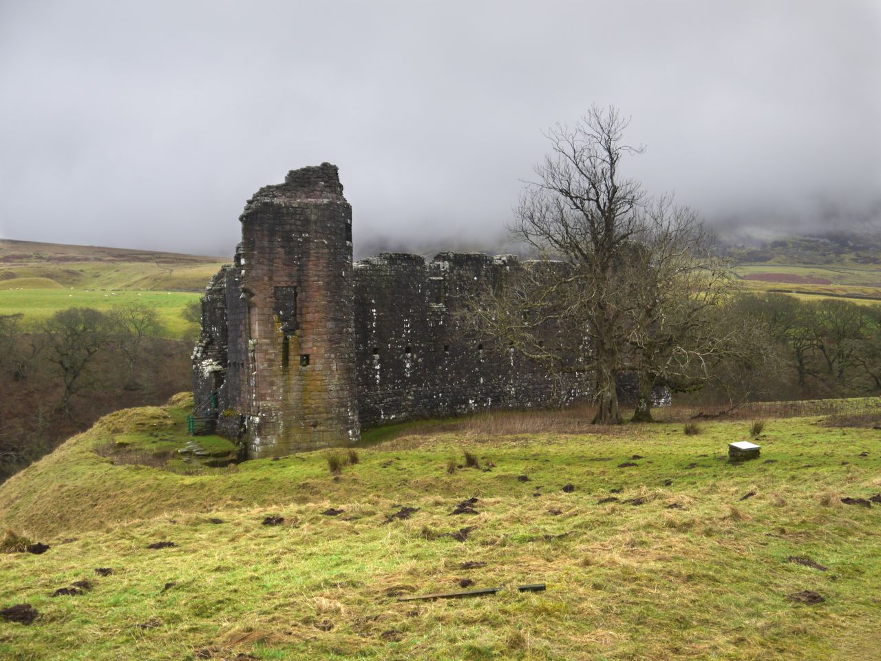
But from etymology to practical matters. I decided to approach the hill from the ruins of Southwick Church. I took the dogs with me so needed to avoid the Deer Farm that takes up the southern slopes and the cow filled fields if approaching from Bow Hill. I imagine each route has its pros and cons and my own route wasn’t too bad.
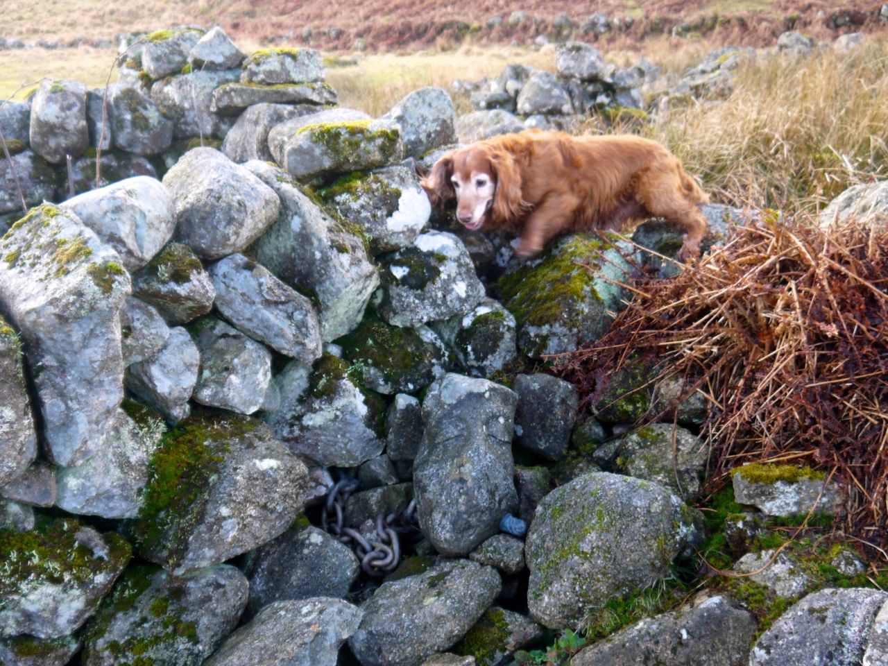
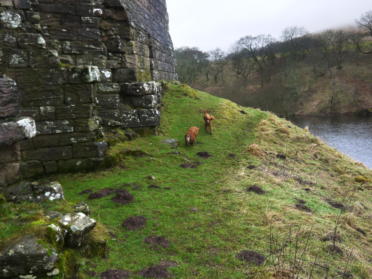
Southwick church is a ruin but the graveyard surrounding it is well maintained and possibly still in use. It is well worth a visit but does not have any gates to allow easy access to the fields leading to the hill. We did find a way over the wall on the way out but on our return we came through the field to the north which has a gate onto the road.
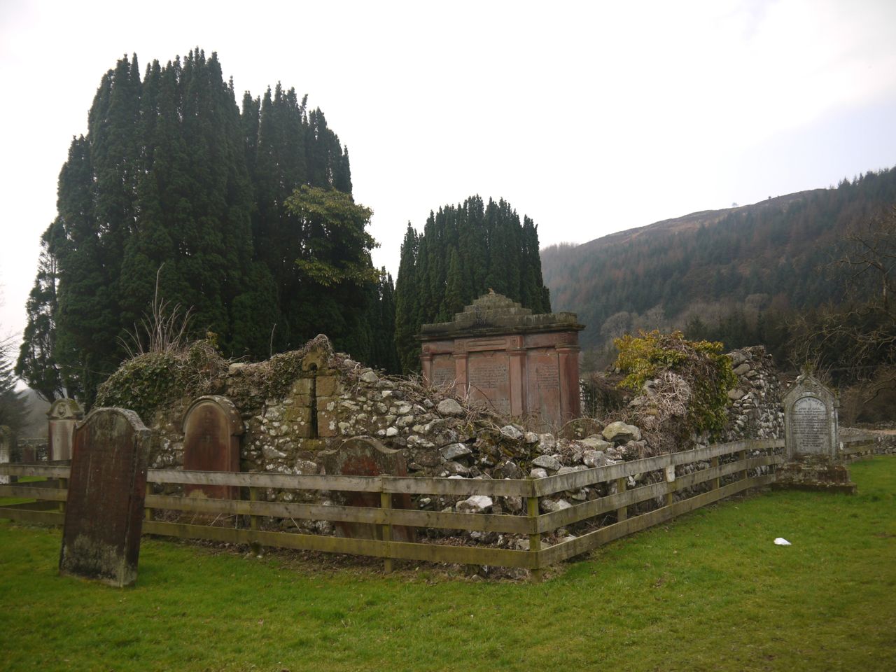
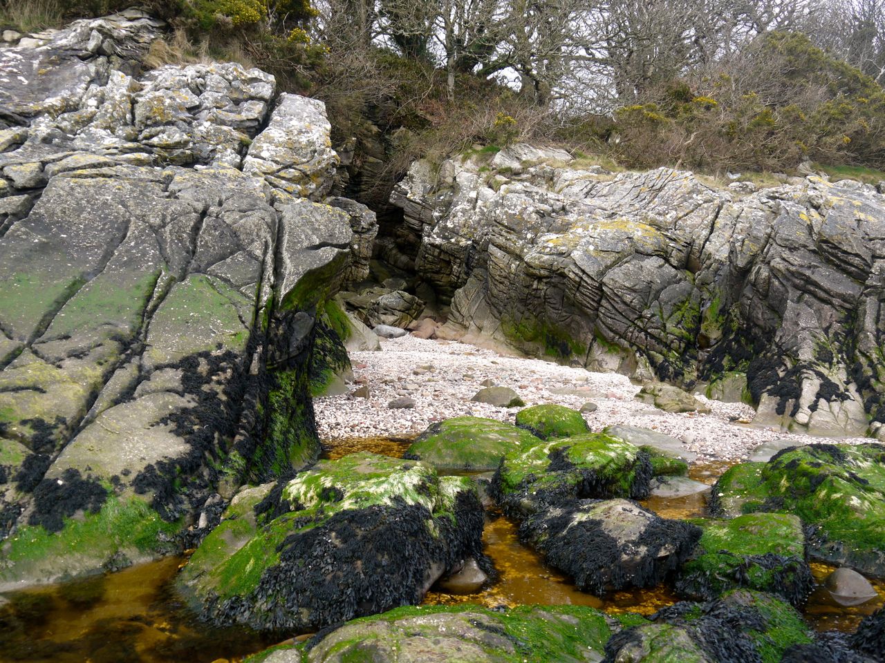
Southwick Church
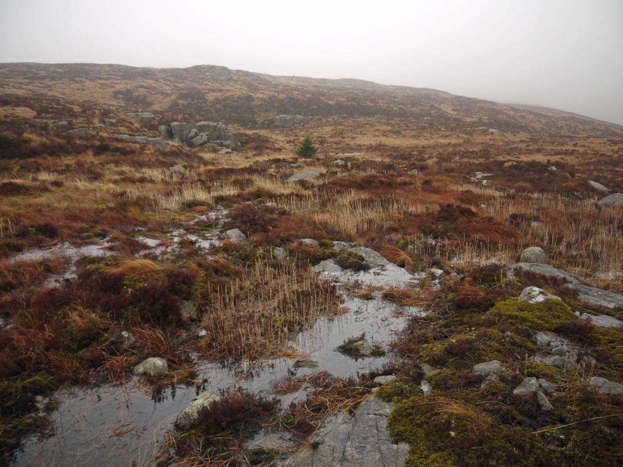
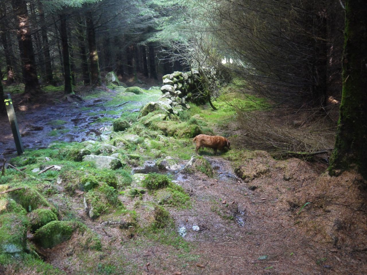
Between the churchyard and Back Burn the fields were marshy with tufts of grass standing in water like small islands in the sea. My heart sank as my feet did and after negotiating a way through with dry(ish) feet I found the Back Burn too wide to jump and deep enough to have submerged any stepping stones. So I made my way upstream, climbing through a gap in the wall to the next field. The burn did pass beneath a wall which offered a chance to climb across, but dogs wouldn’t have been able to follow that way.
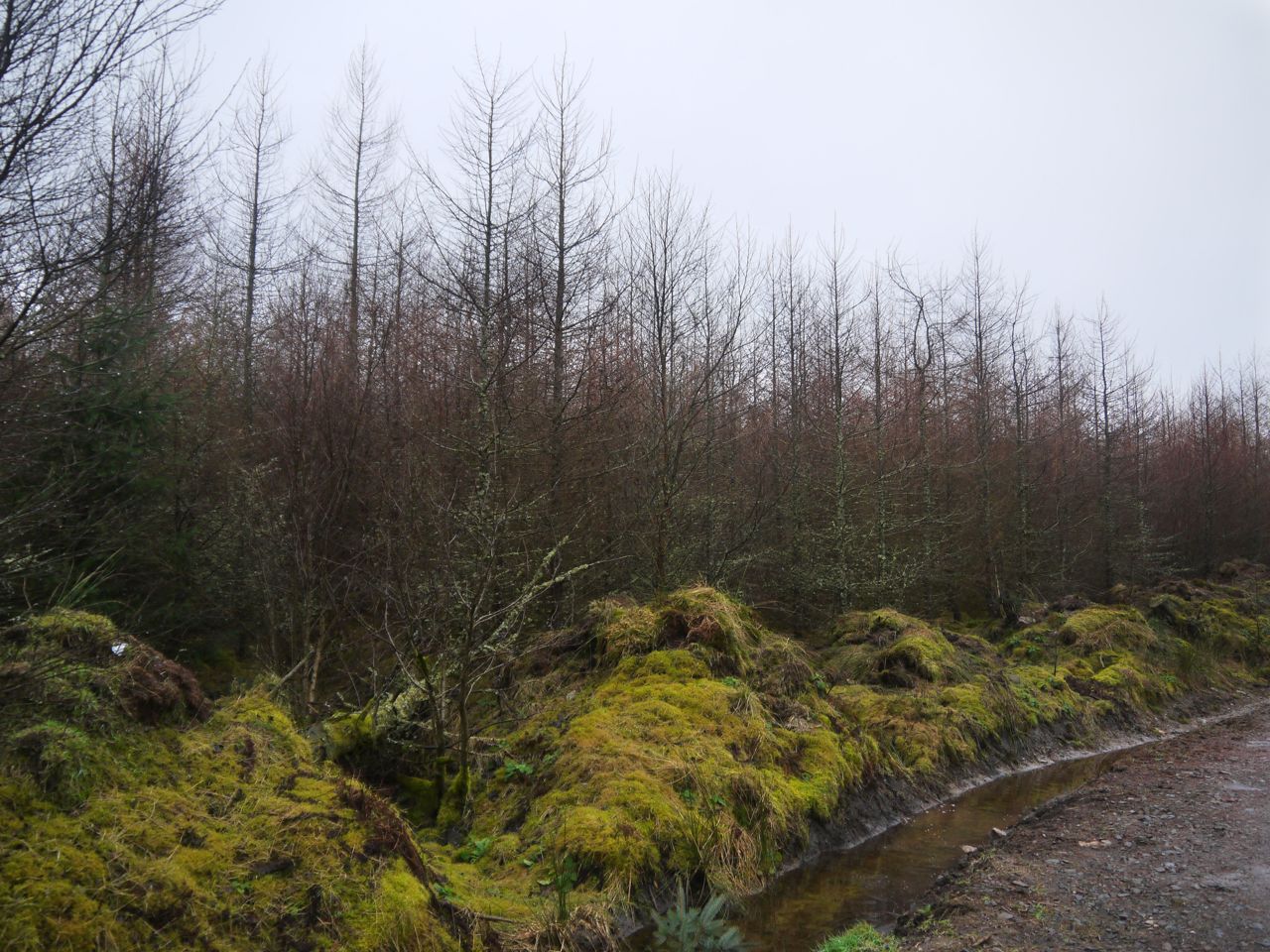
I little further on we crossed the wall separating the fields from the trees and after crossing more boggy ground found the burn much reduced and easily jumped. There was a barbed wire fence blocking our way but it was dilapidated and I found a section where some of the posts had rotted and the fence had fallen enough that I could hold it down while the dogs jumped.
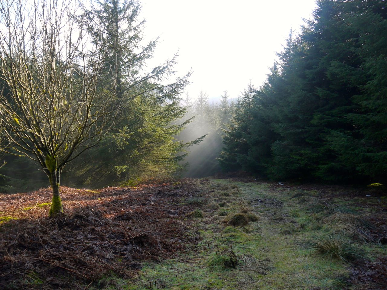
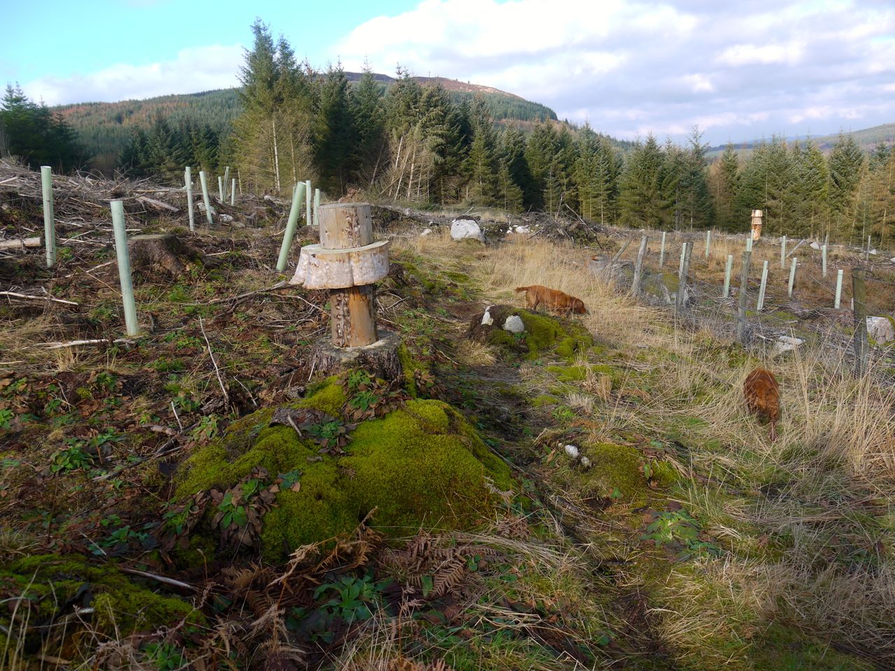
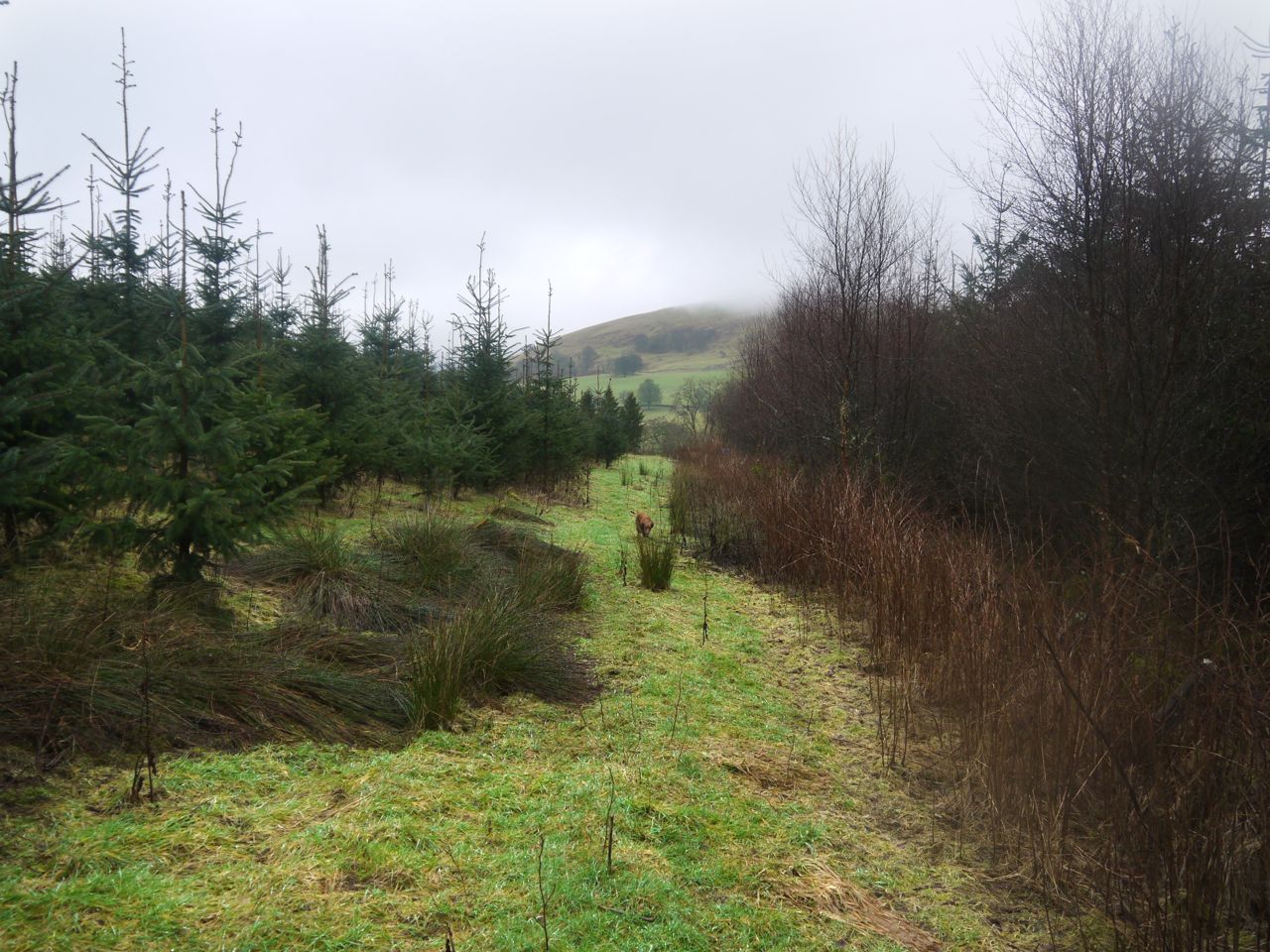
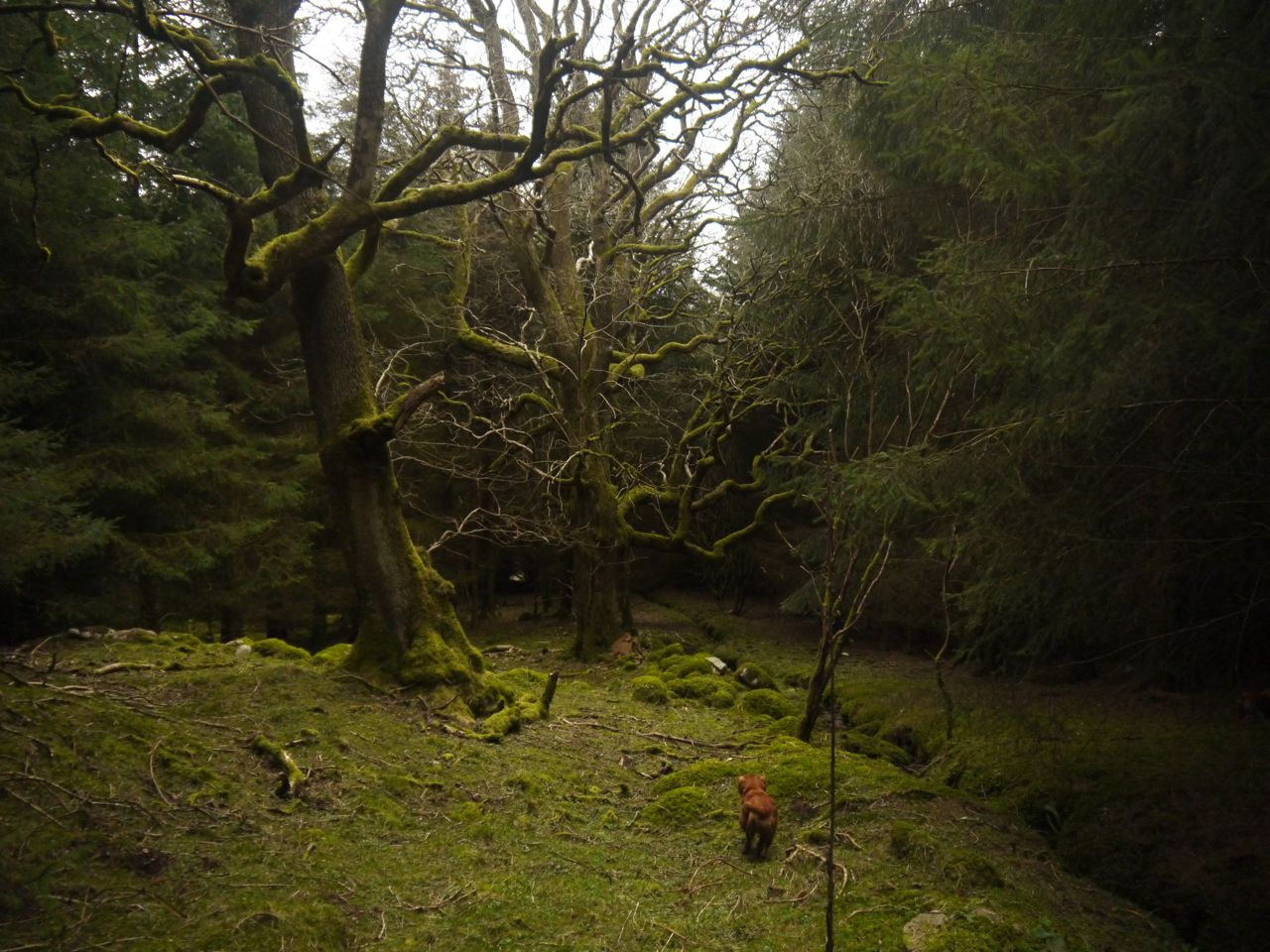
My plan had been to backtrack along the burn until I found the forest break with its wall and burn heading up the hill but the way was obstructed by trees so I turned uphill through the trees heading for the light of the break.
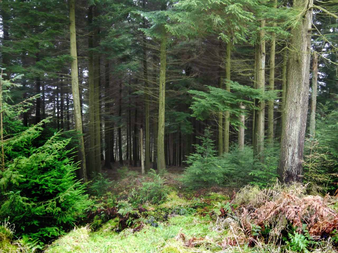
I had read a report warning against walking in the forest and strongly advising walkers to stick with the forest ride, so I made for the light. The forest break however was hard going, sometimes boggy, sometimes obstructed by branches of living trees or trunks of fallen trees and I found that I spent most of the time walking in the forest with the wall visible to my left. The dogs found this very easy since they ran below branches but I had to zig-zag about to find a way without obstructing branches. I advise wearing glasses to avoid twigs poking the eye.
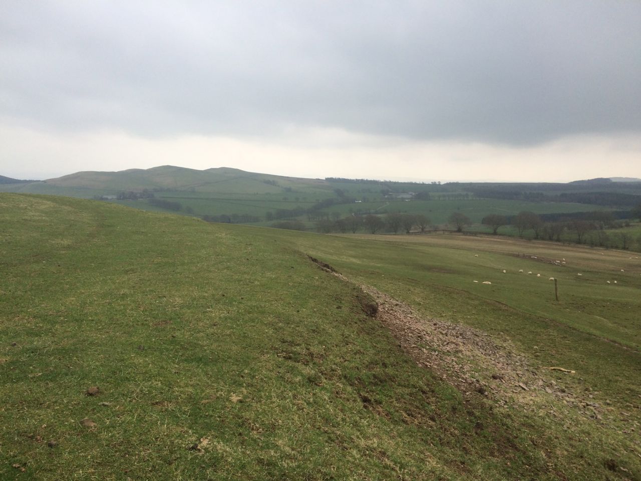
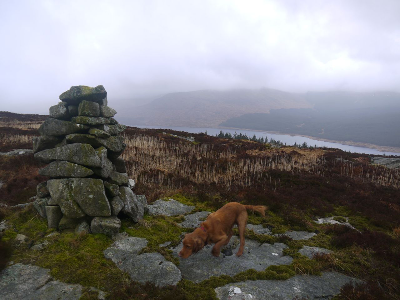
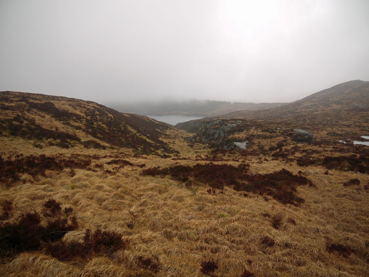
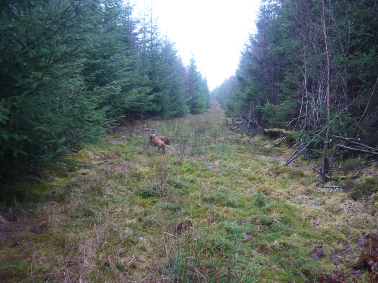
A little before the treeline I came out into the forest break and walked by the wall. A goat stood on the crags above us watching us like a sentry but we didn’t see any deer. The deer fence surrounding the southern part of the hill was on the far side of the wall so at least we didn’t need to cross that.
My plan was to follow the wall until a left hand bend at which point I would continue along the original direction of the wall onto the higher ground then turn towards the summit.
Unfortunately I mistook an earlier bend in the wall for my cue and struck off about 150m too soon and climbed up the deep heather of steep slopes up to the promontory with a 269m spot height. Once here I could see the bend in the wall I should have been waiting for. So the summit was further away than I had thought.
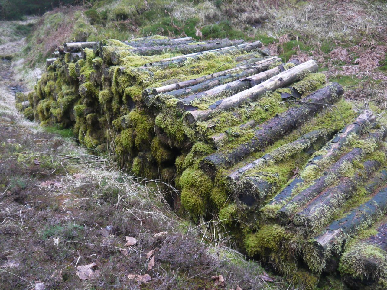
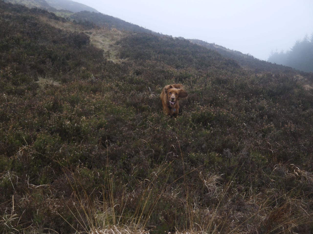
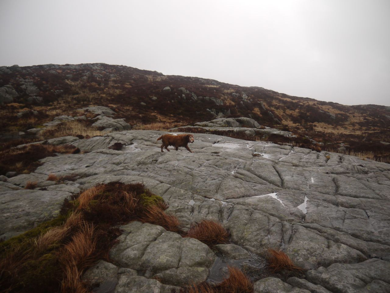
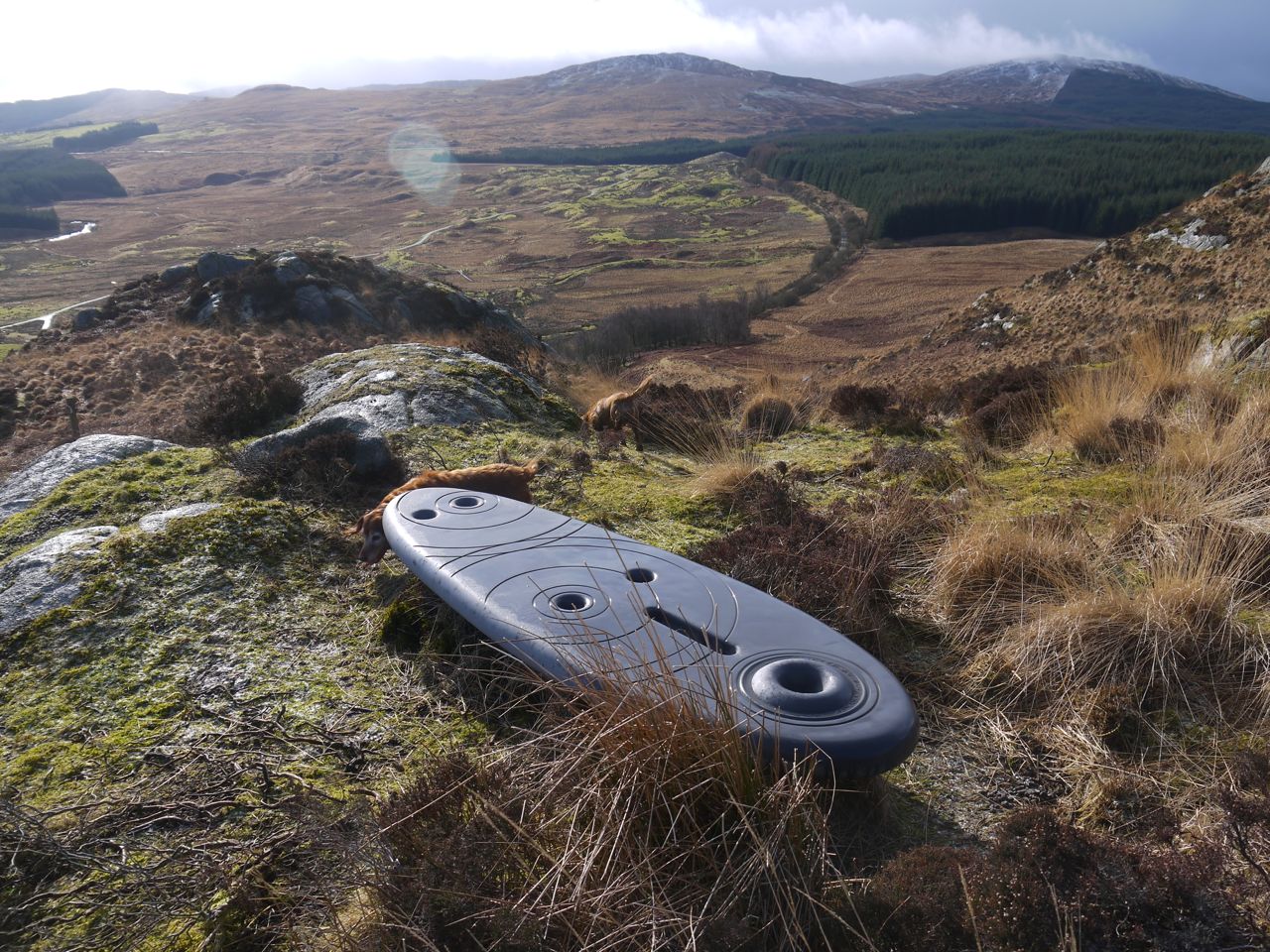
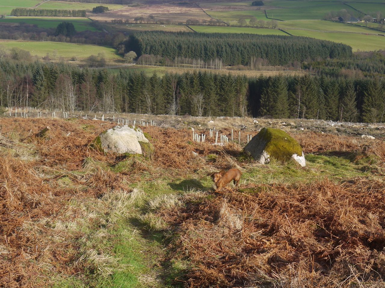
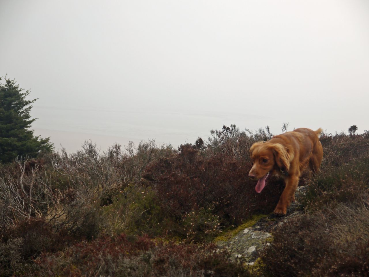
Bainloch’s heather
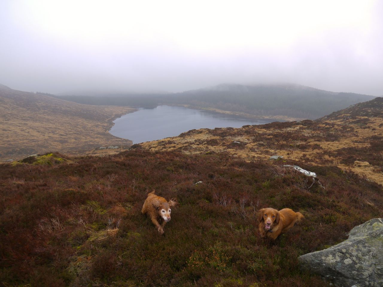
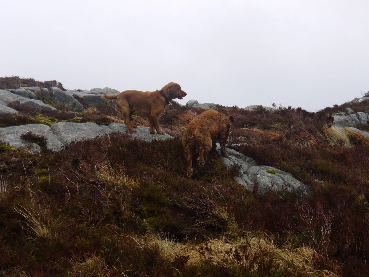
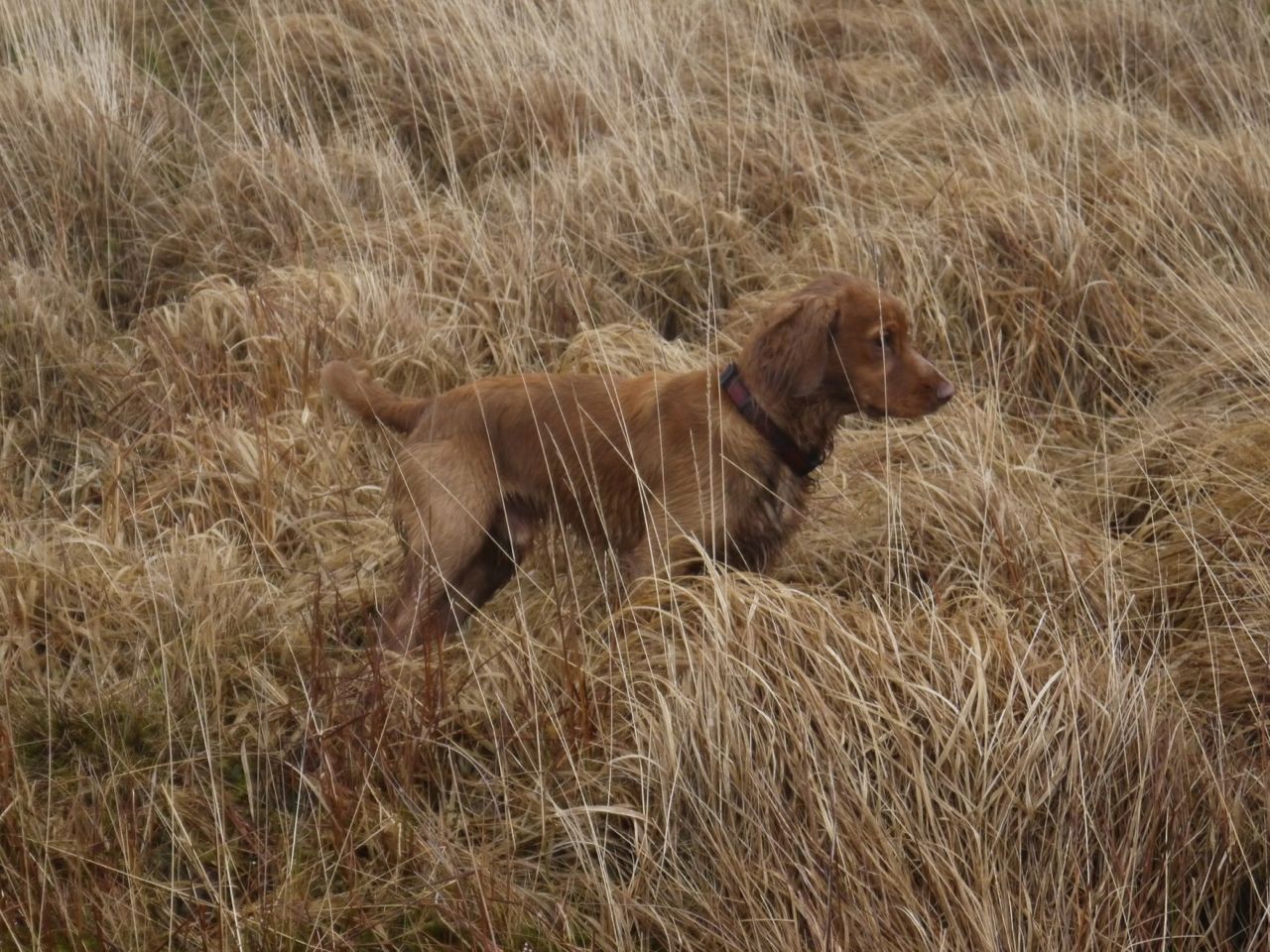
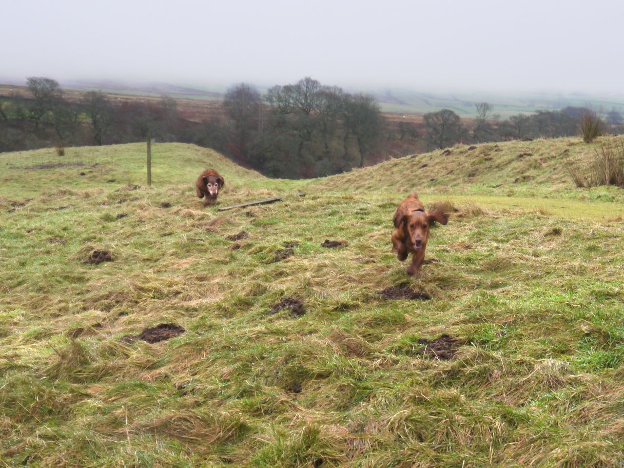
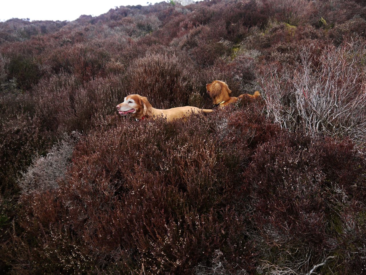
I decided to head across the high ground to the summit which meant climbing over four small knolls each covered in deep heather with no easy route through. Despite this being a short walk it has been quite a workout for my legs. The dogs of course just jumped along like springboks, though poor Sweep is limping now.
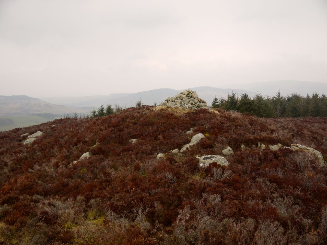
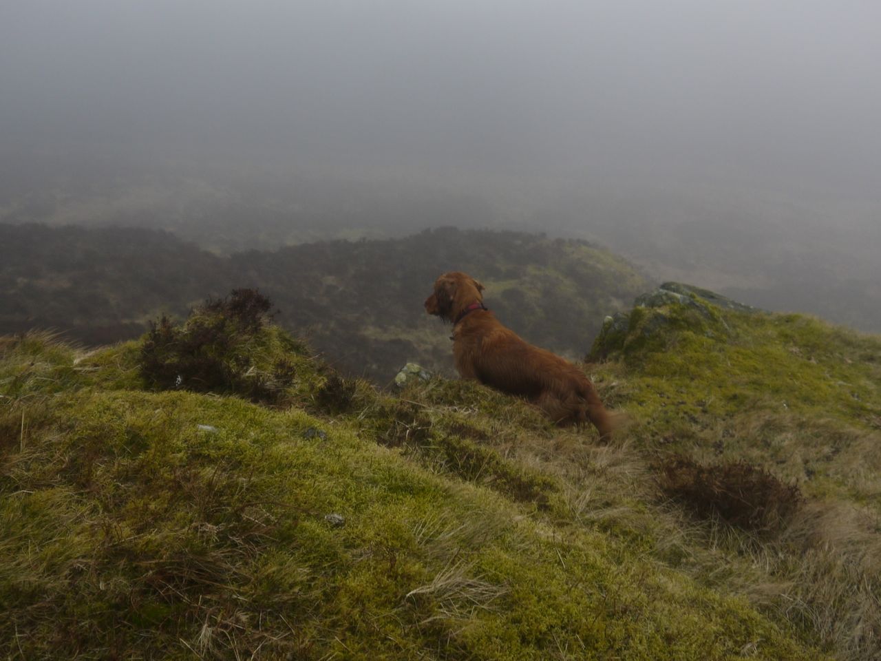
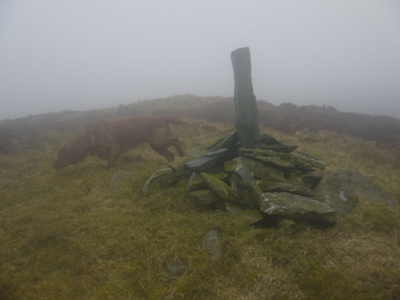
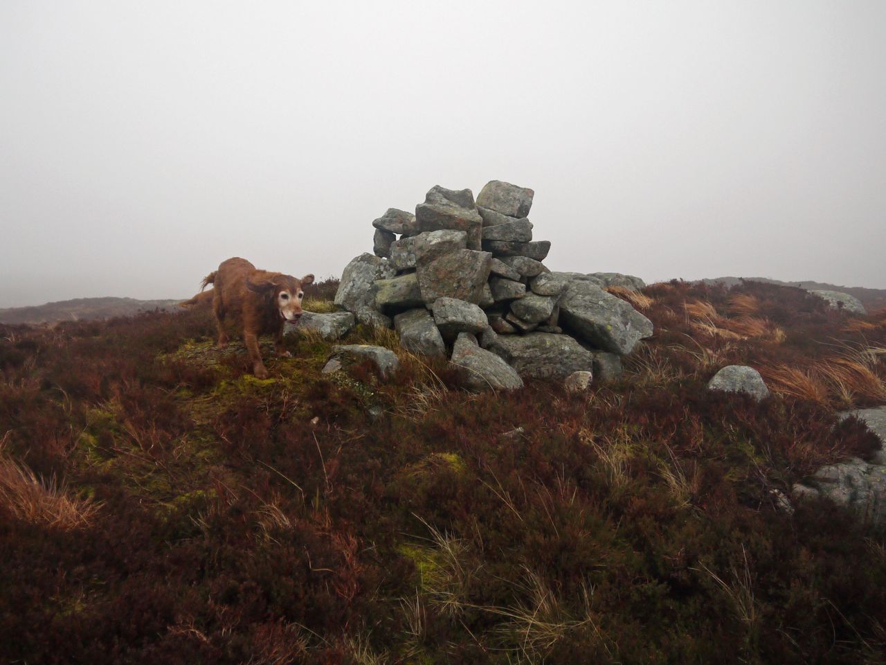
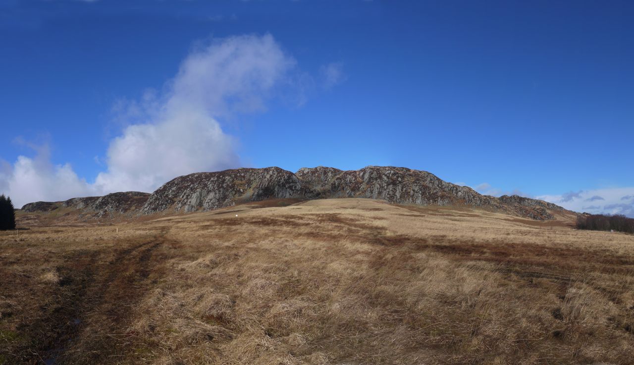
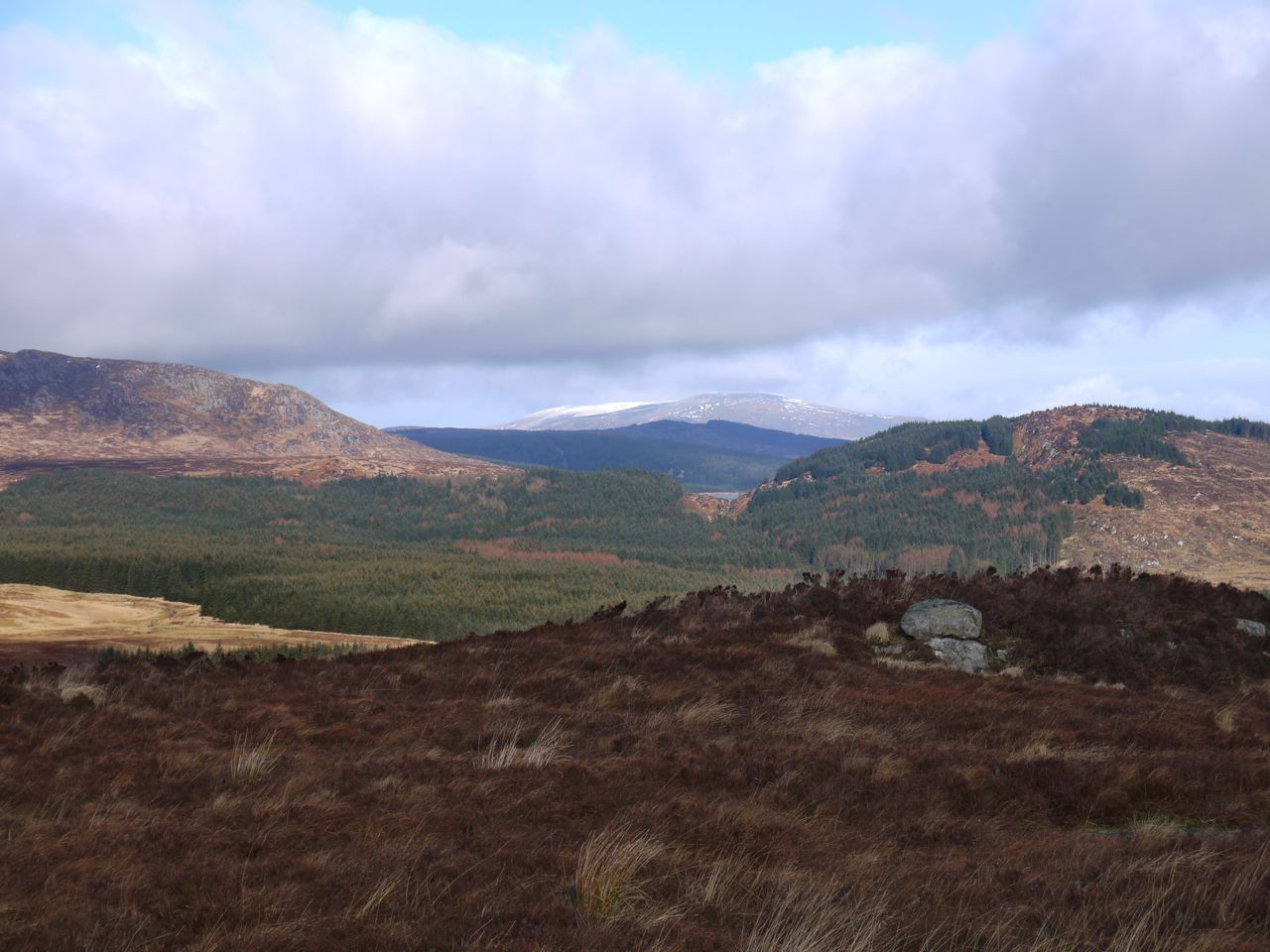
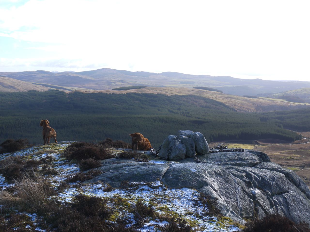
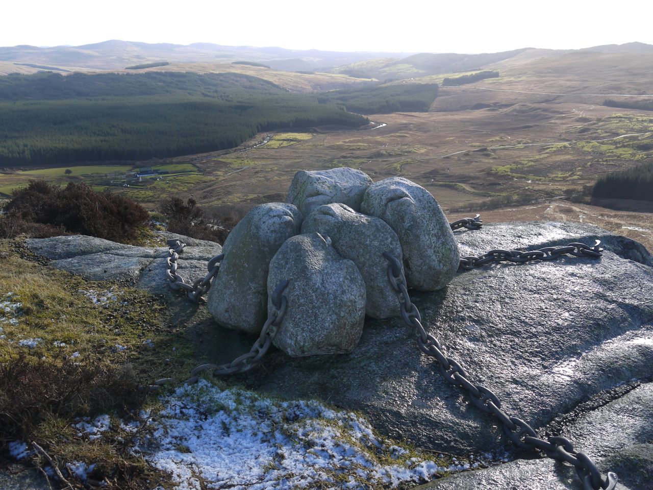
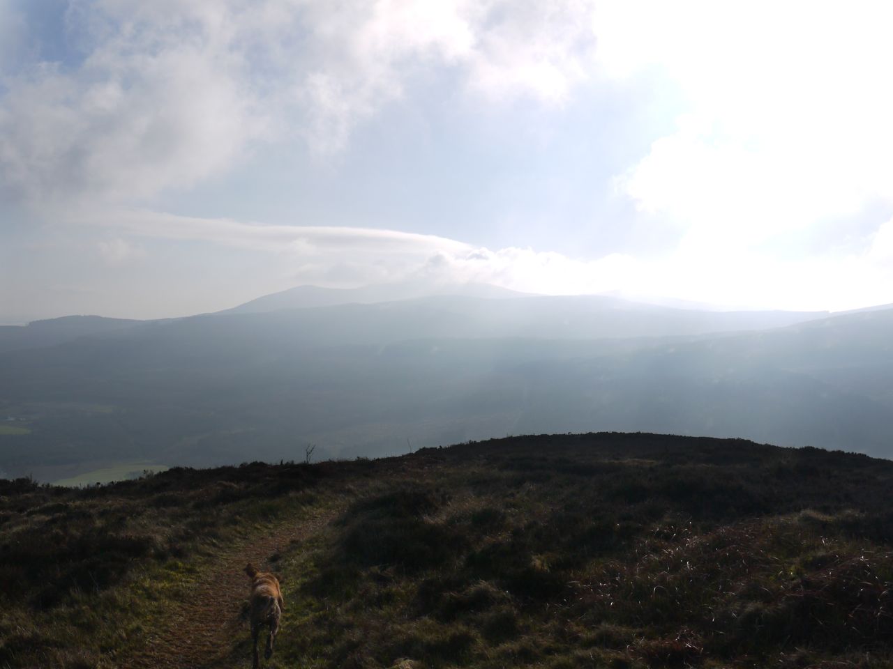
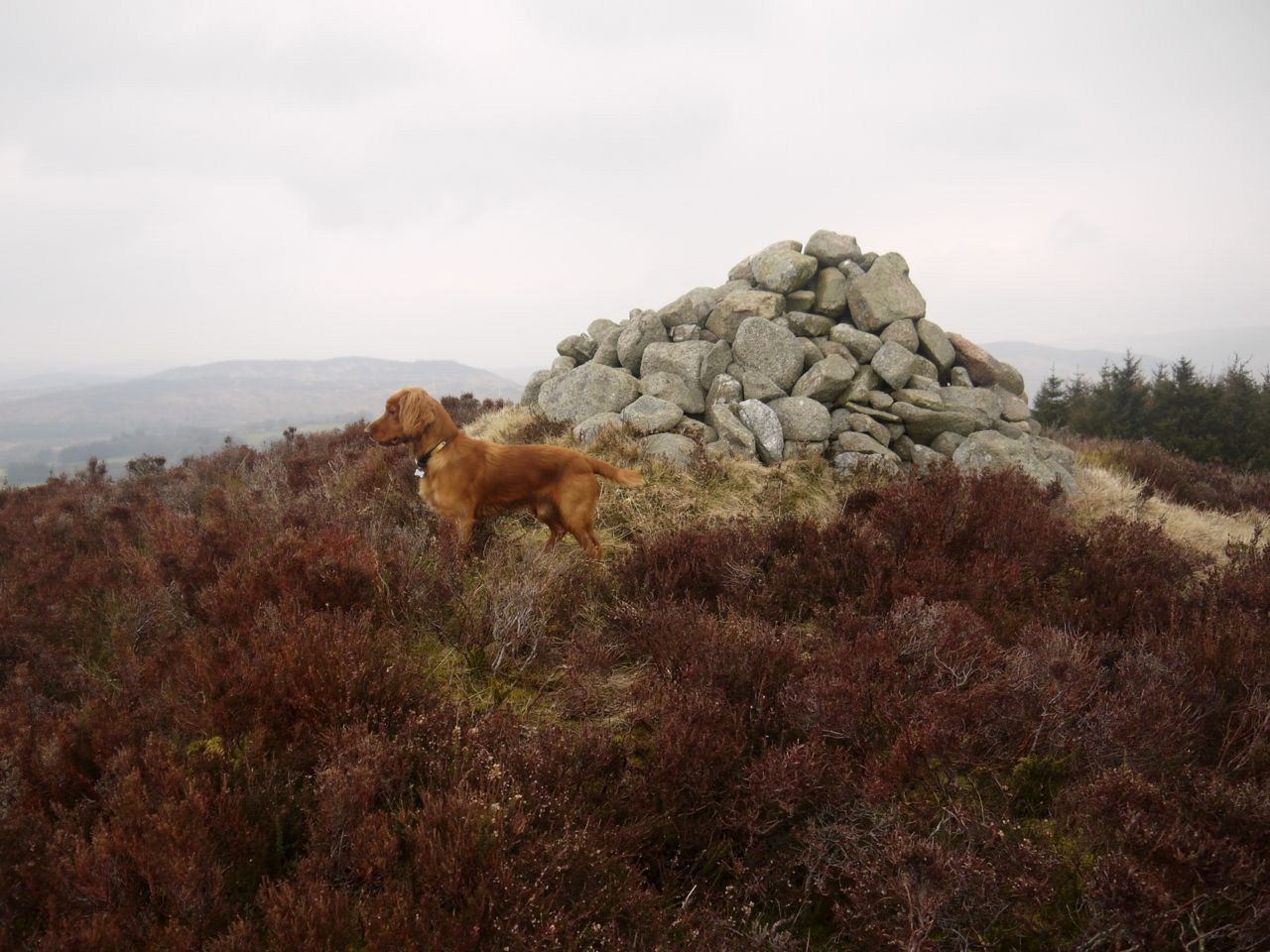
Bainloch Hill summit, Maidenpap in the background
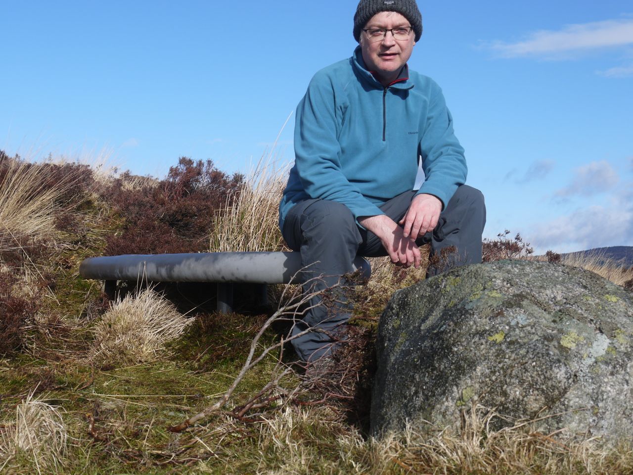
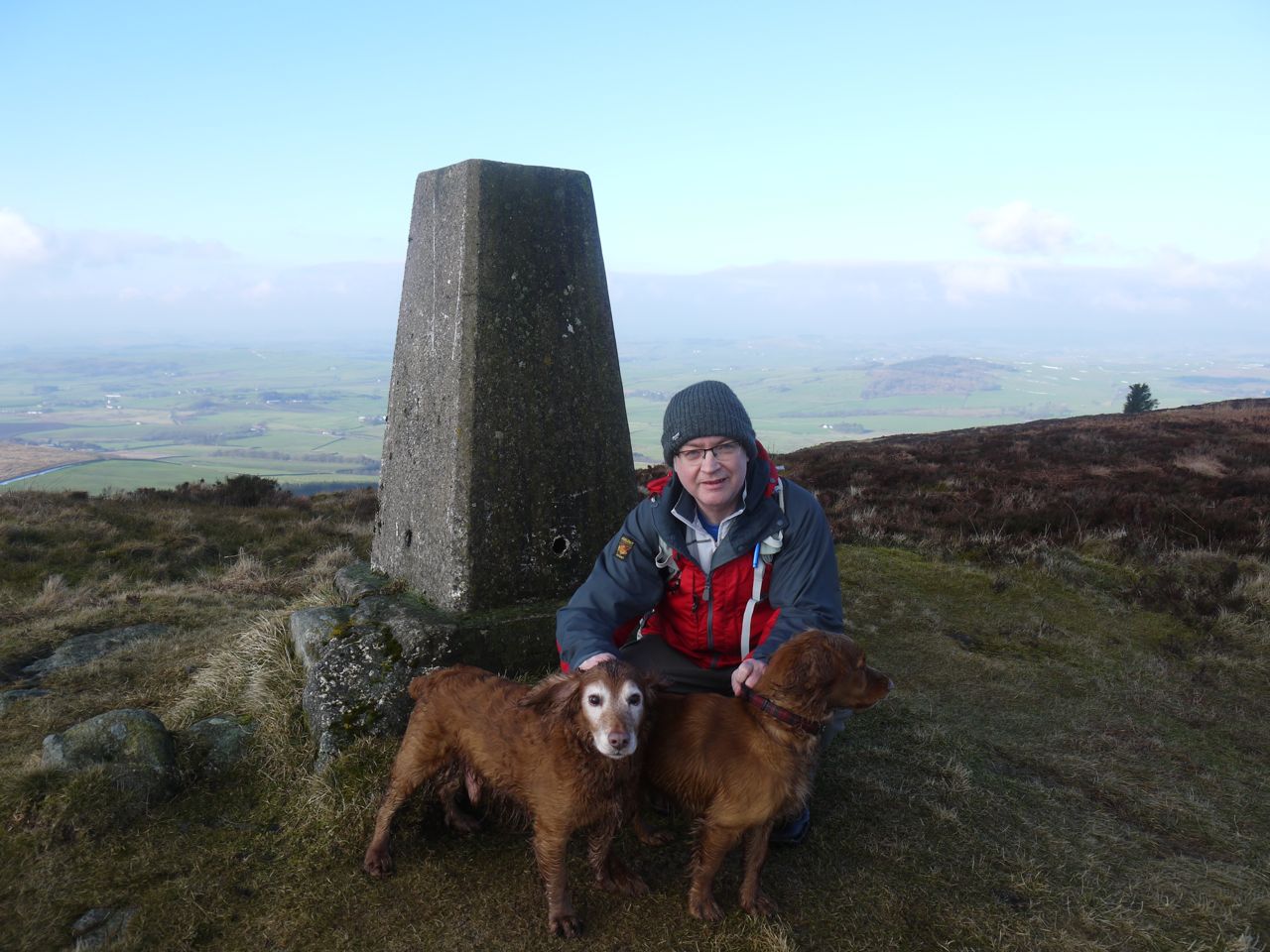
Eventually we reached the summit cairn and the dogs found some puddles to lap while I had a swig of water. I looked around for other cairns that might have given this hill its alternative name “three cairns” but couldn’t see any. I did wonder if some rocks a few metres away were the real summit but once there the cairn looked to mark the highest point.
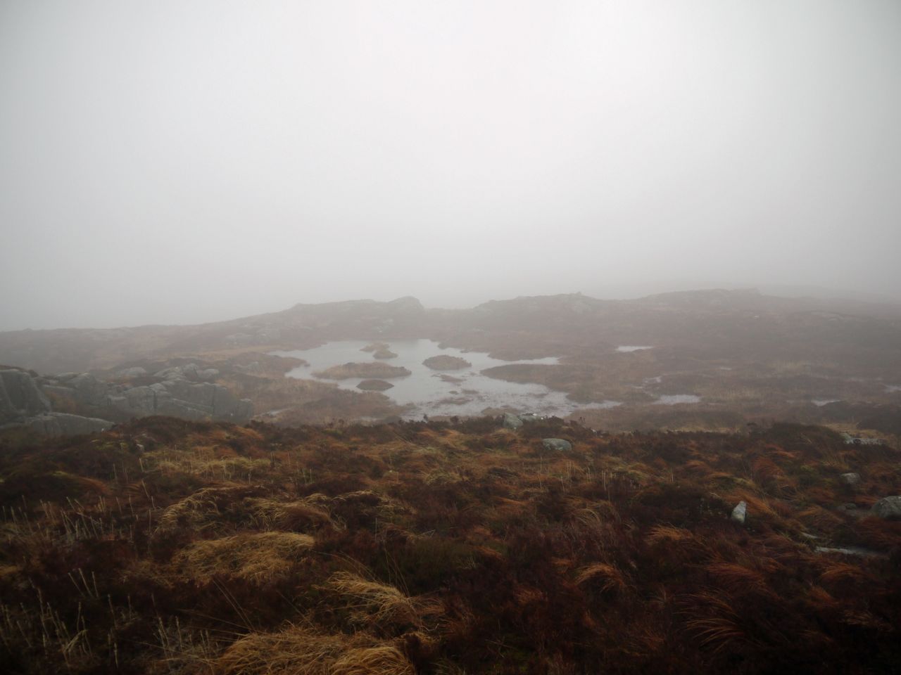
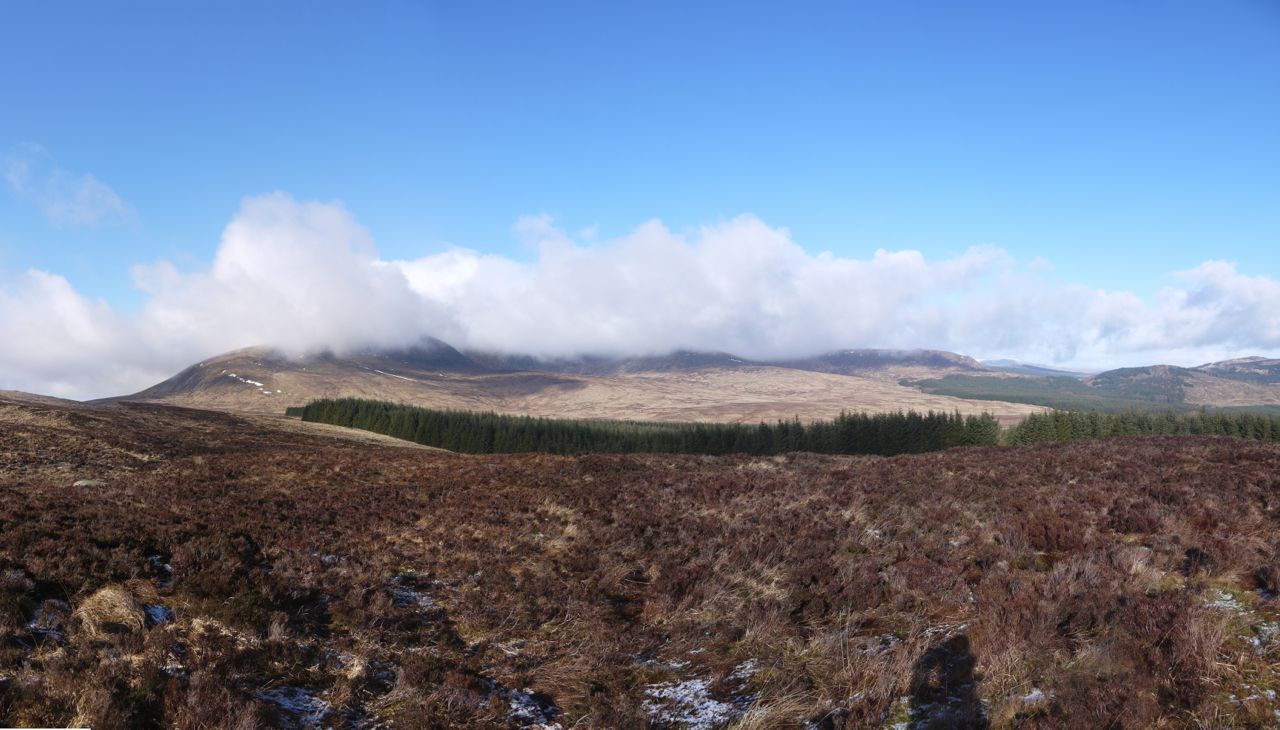
Unfortunately it was a hazy day so the views were a little muted.
 For the descent I decided I couldn’t face much more deep heather walking so I made for the wall and stayed close to that until I was back at the trees. This was marginally easier undergrowth but a bit more up and down. I had thought that the forest break on the far side of the wall looked easier, but the wall was too high to manhandle the dogs over and I suspected I was experiencing “grass is greener” syndrome anyway. So I went back down the same way, spending much of the time in the forest where the ground was firmer.
Once the trees thinned out
I wondered where I would come out in relation to the churchyard but found I was back to the same place with the fallen barbed wire fence and we got back over the wall into the boggy field, this time using the gate on to the road.
So, all in all, a short outing but no paths, no tracks, and tiring walking when in the deep heather of the summit, but I think it would be even more difficult once the bracken grows.
[osmap gpx=”http://www.screel.co.uk/walks/wp-content/uploads/2015/03/RK_gpx-_2015-03-17_0953.gpx”]