4.8 miles 3h 48m ascent 222m
 Peden’s Hut-Shiel Hill-Cornish Loch-Cornish Hill
Beyond yon hills where Stinsiar* flows, ‘mang muirs and mosses many…
By Girvan’s fairy-haunted stream, The birdies flit on wanton wing; While bank and brae are clothed in green, And scattered cowslips sweetly spring…
Our walk was to take us across the Waters of Stinchar and Girvan, and as Burns described we did indeed find moor, moss and flitting birdies. He didn’t mention the ankle twisting tussocks, rocks and bogs, though perhaps they are captured, for the experienced, in the term “muirs”.
I have read two derivations for the name, Stinchar, the more poetic is ‘Staing Aos Ath Irr‘ meaning ‘The River of the Sacred place of the Druids”; the other “abounding in pools”, without much explanation of how that becomes Stinchar. I can’t say that I am convinced by either. The first is certainly the more poetic, whereas the second is a realistic description.
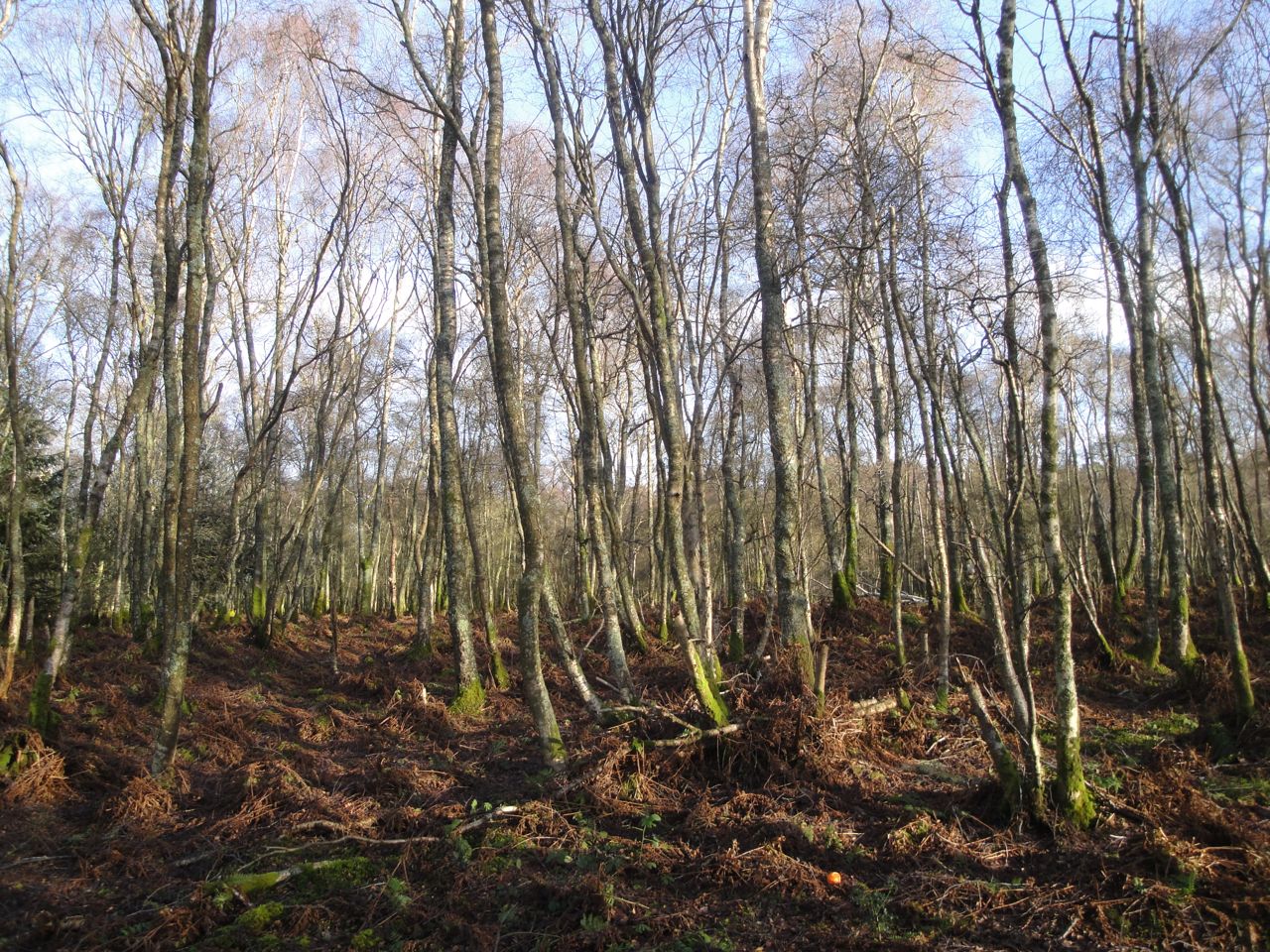
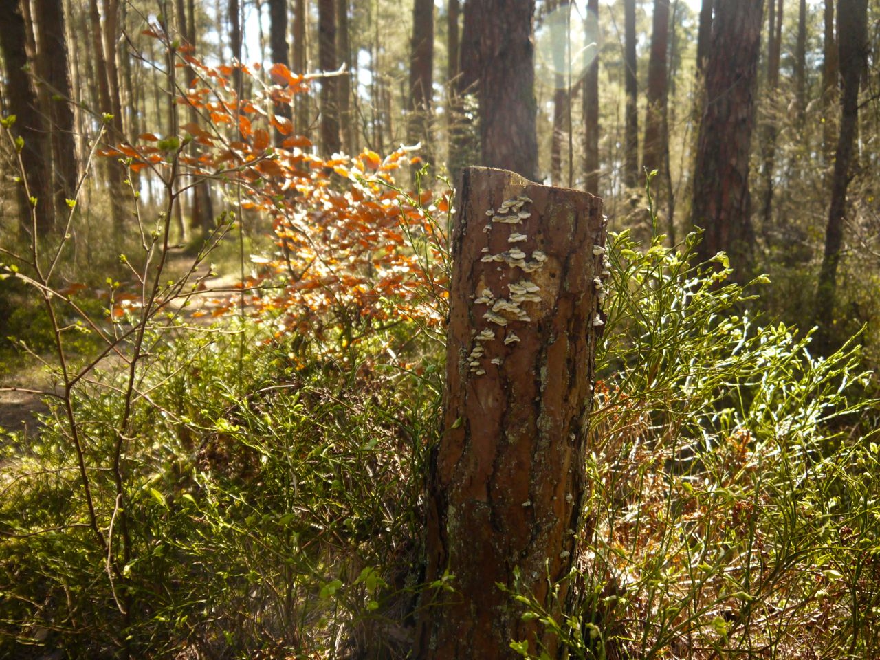
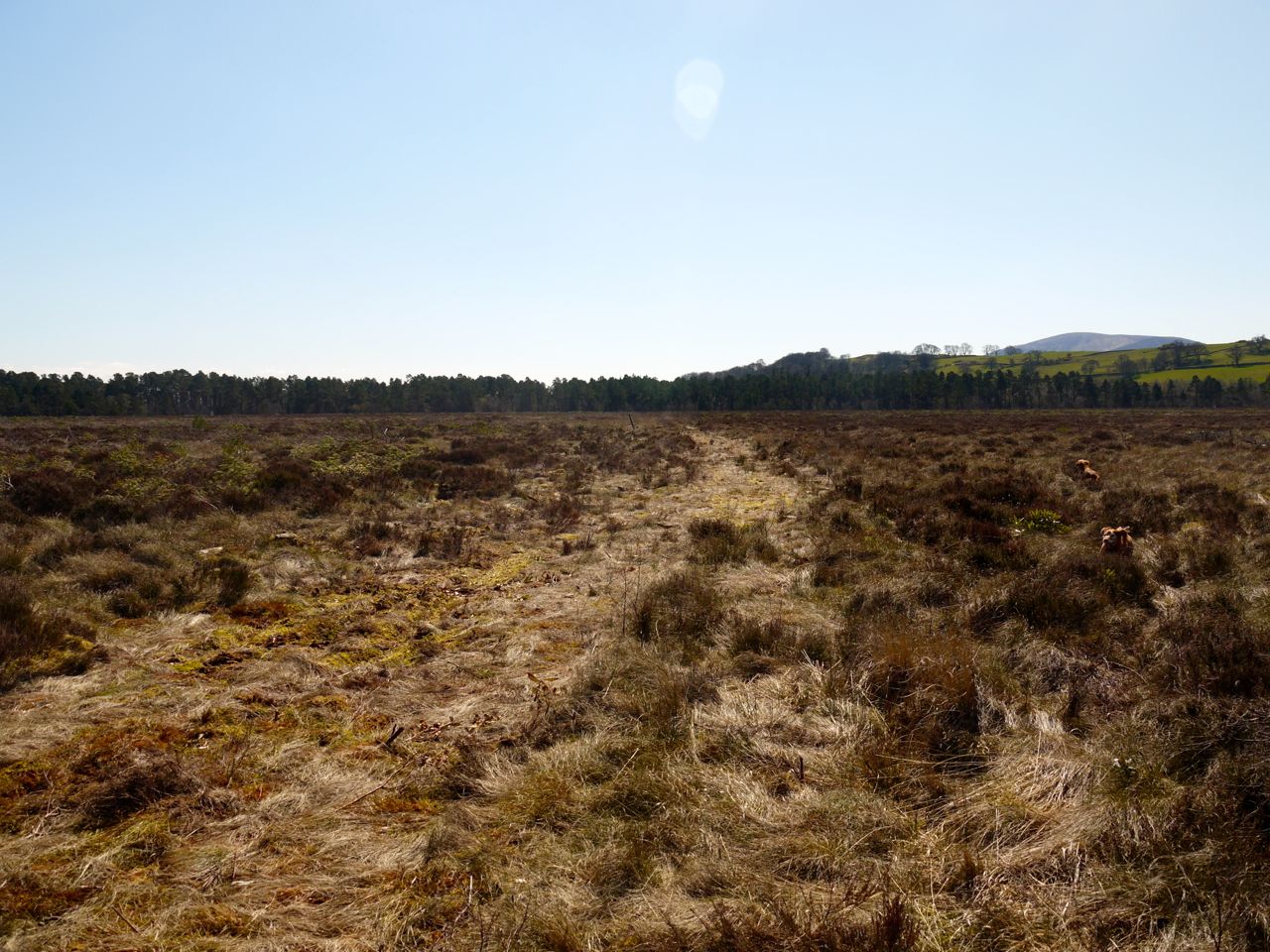
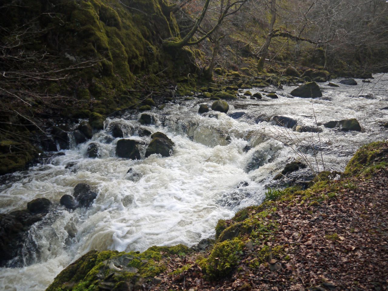
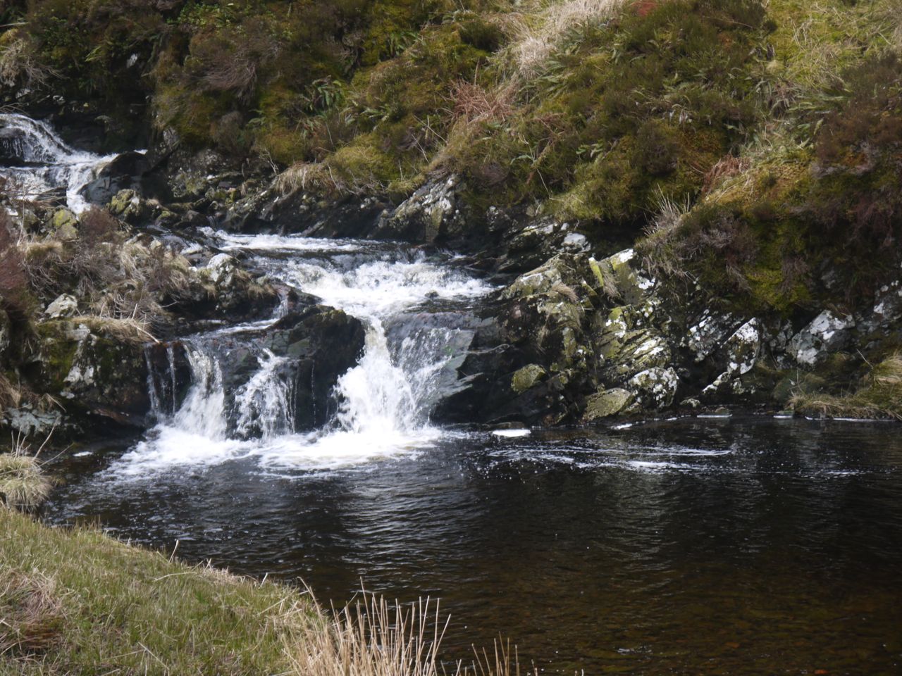
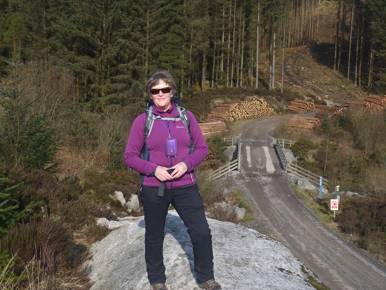
Our walk started at Stinchar Bridge or, more prosaically, the car park there which was surprisingly full. The Stinchar here flows through a series of small waterfalls and pools, but rather than crossing the river immediately we turned left to walk along the forest drive towards the bridge across the Water of Girvan. The forest drive was easy walking and slightly downhill. Beside us the forest of conifers was edged with lichen laden deciduous trees but there had been some felling allowing us to see the top of Cornish hill with Shalloch on Minnoch, Ayrshires only Corbett, in the distance.
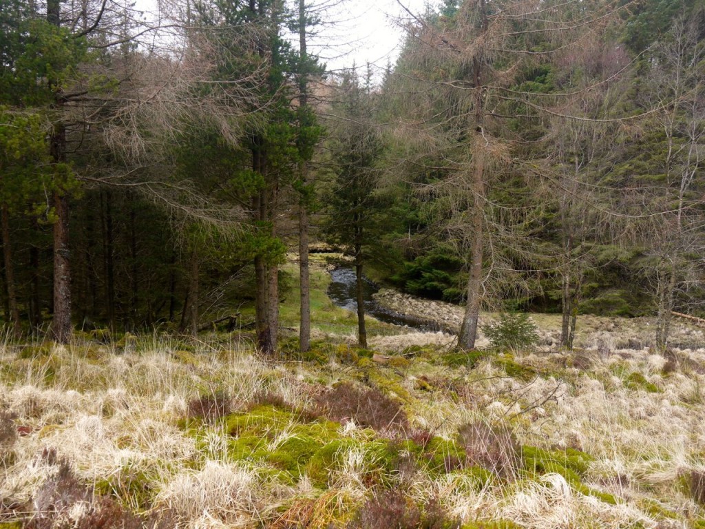
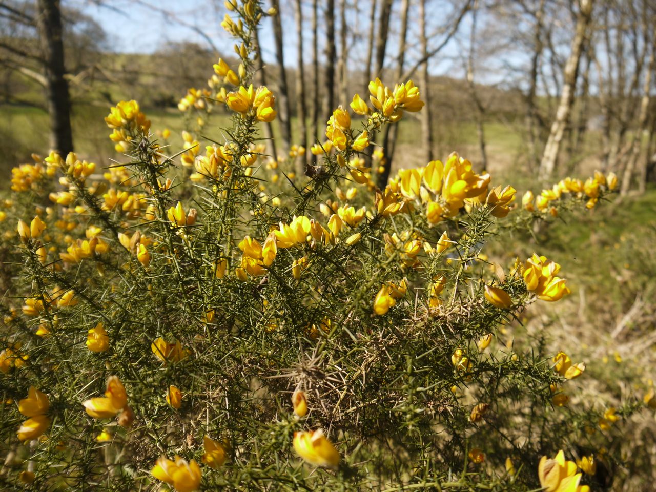
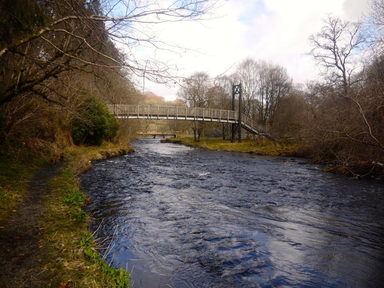
Fairy haunted Girvan Water
I had imagined the crossing at the Girvan as a footbridge, though with a little thought I should have realised it would have to be wide enough for vehicles using the forest drive. (A photograph I had seen had been taken from such an angle that the bridge appeared narrower.) We met a walker here who was on the return leg from his walk up Cornish Hill. I was to think of him later in the walk when I wondered if it would be easy to cross the Girvan where it leaves Cornish Loch.
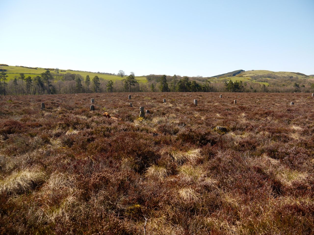
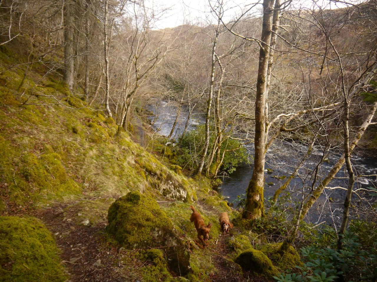
After crossing the Girvan we took a footpath up towards the rocky knoll called Peden’s Hut. This took us up perhaps 40m and then forked. The right fork heads up to Cornish Loch but we took the left path which continued only a little further. Here we had our first views of Lochs Bradan and Skelloch, and of the rough ground ahead of us. As we climbed higher the full extent of Loch Bradan came into view, including the western section which includes the submerged Loch Lure, Loch Bradan having spilled over it when dammed in 1912. Bradan I believe takes its name from the salmon, whereas Skelloch is a rock. But with so many other Shallochs nearby, and Linnshalloch the hill beside the loch, one does wonder if the name refers to hunting instead. The lost Loch Lure has a more ominous root, lobhair, leper.
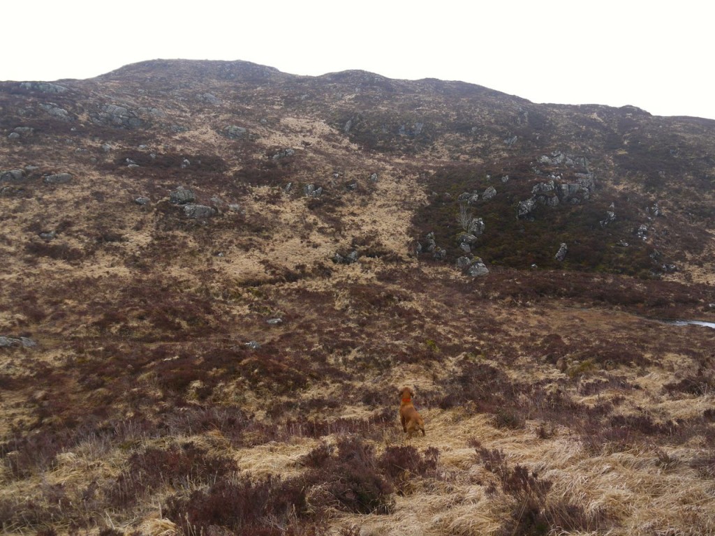
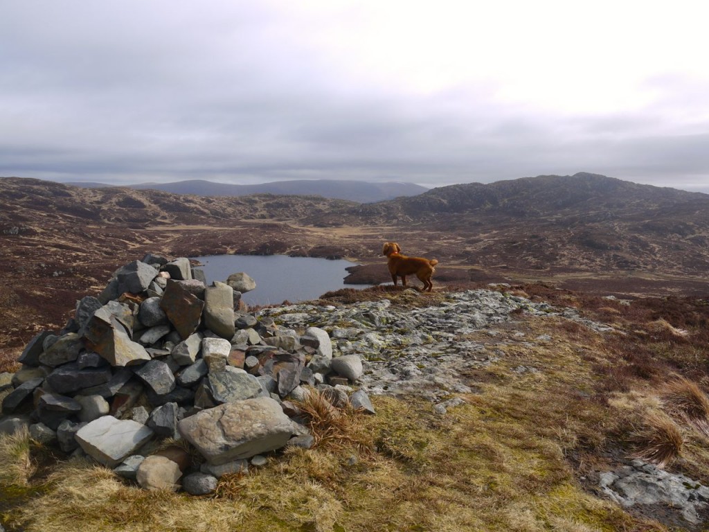
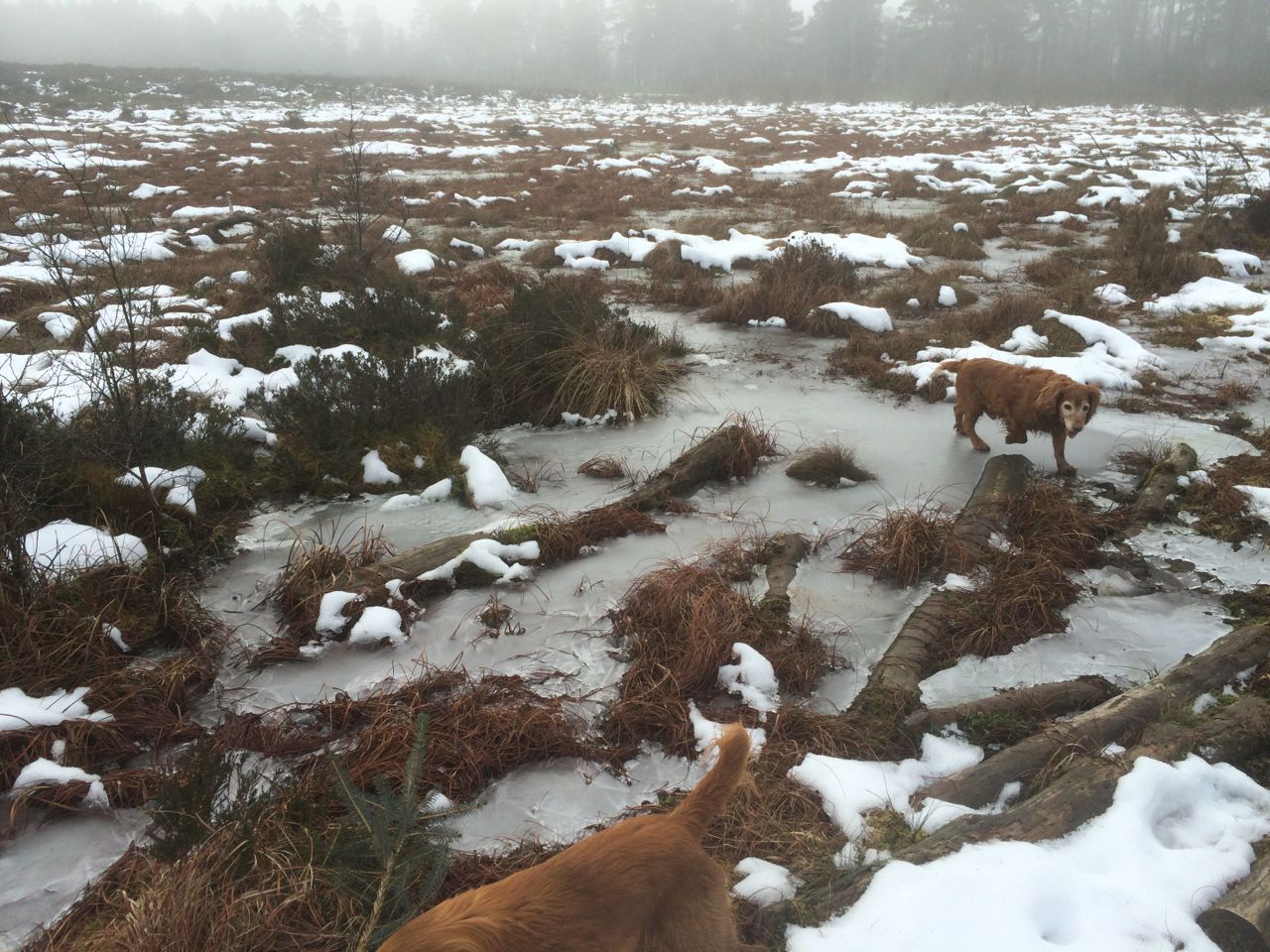
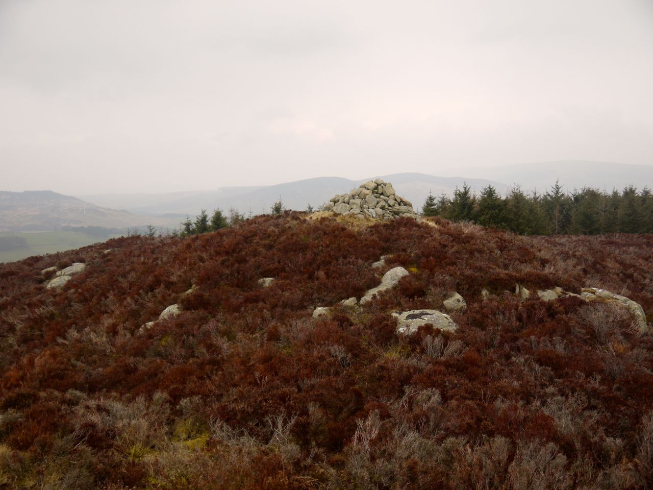
Tough going by Peden’s Hut
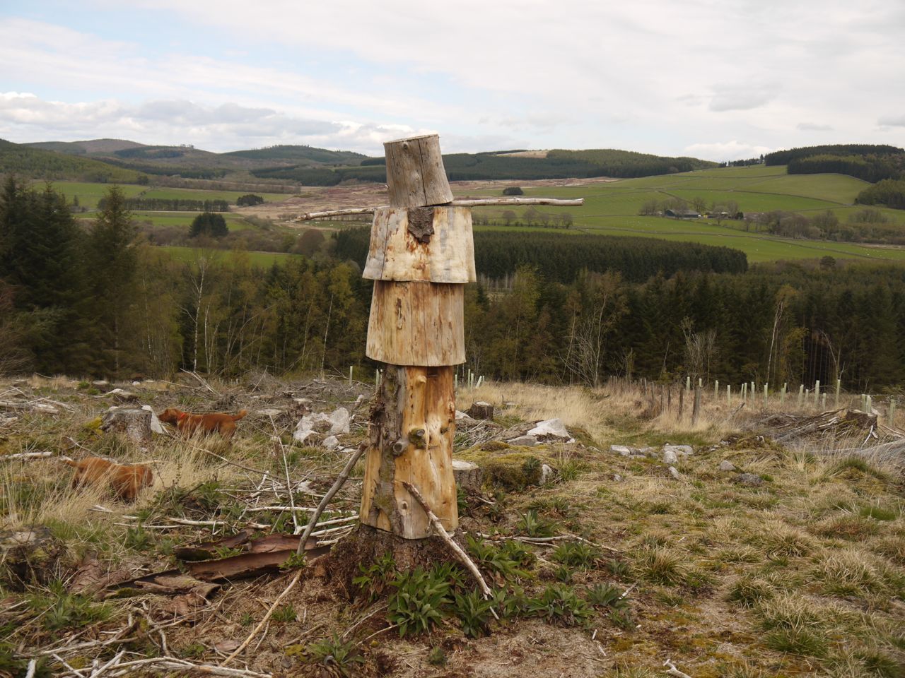
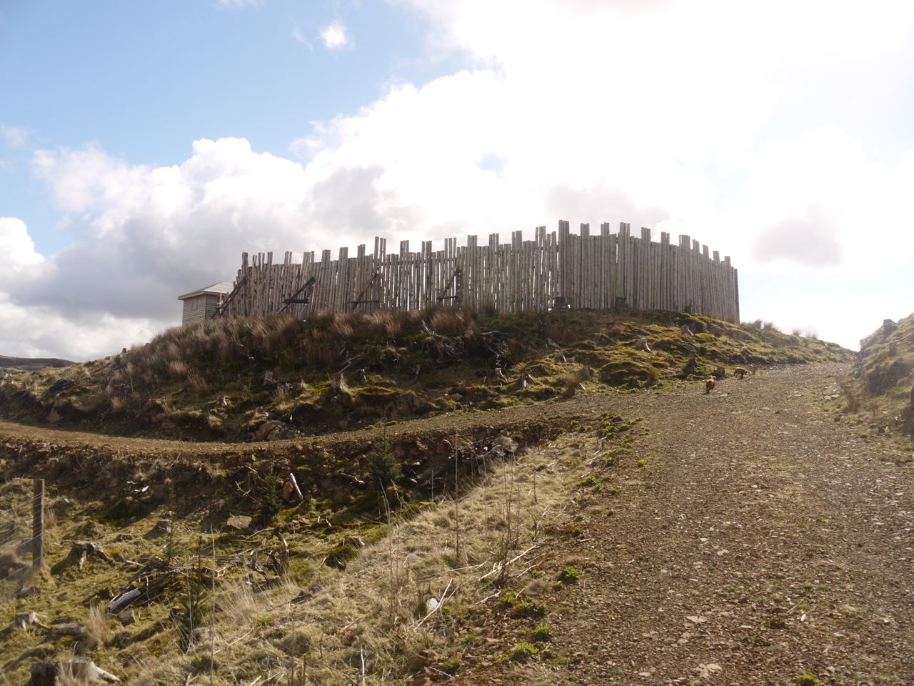
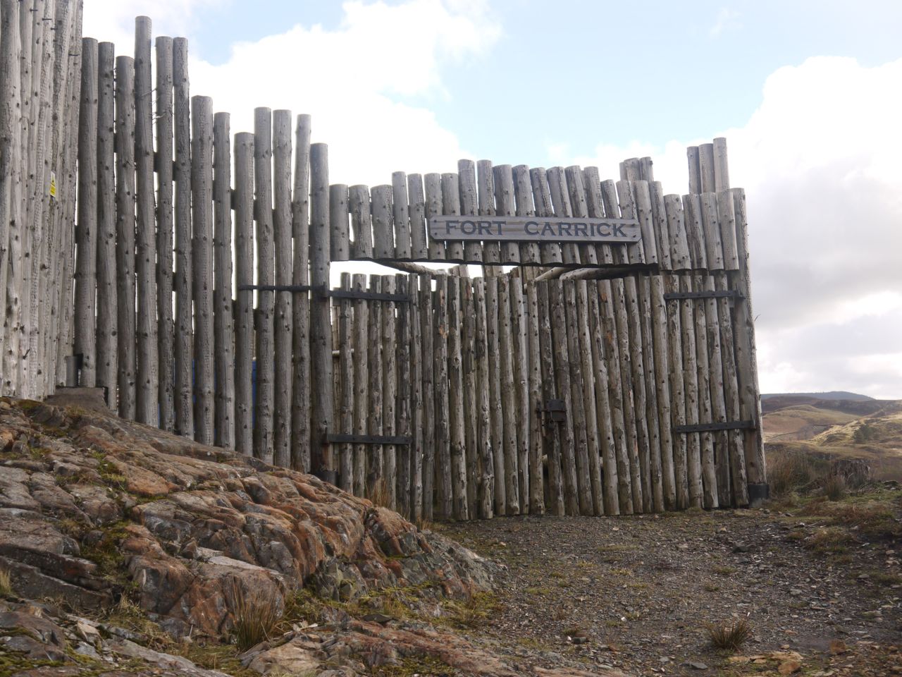
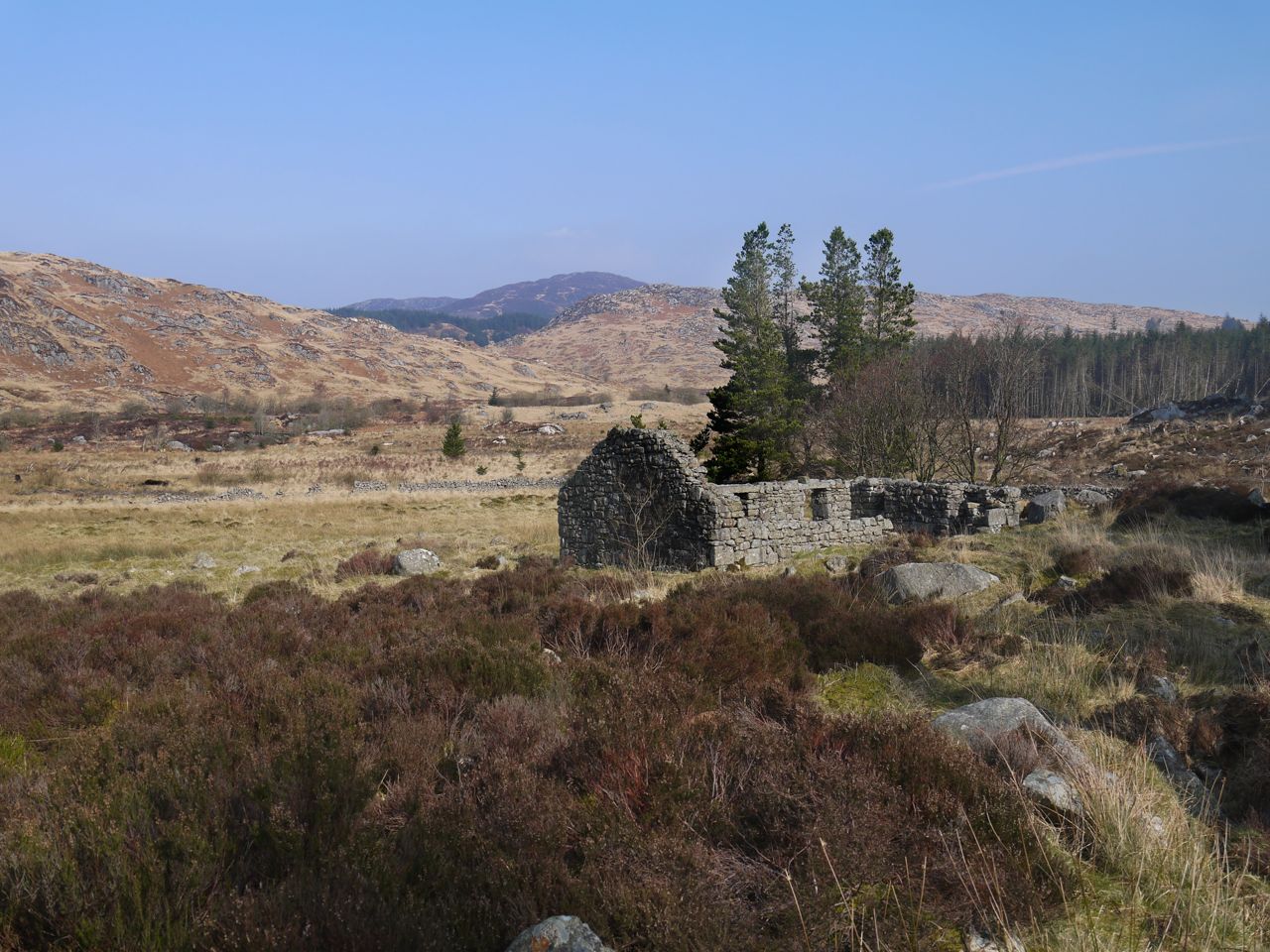
We climbed our way up Peden’s Hut, enjoyed the views while getting our breath back then looked down at the dip separating us from the rest of Shiel Hill. I don’t think the OS map fully captured the lie of the land here and it would perhaps have been better to skirt around Peden’s Hut. But now we have climbed it. There was a group of walkers behind us as we came along the footpath but they must have been heading elsewhere since we didn’t see them once we were over Peden’s Hut. This strangely named rocky hillock is said to be named for Alexander Peden (1626-1686), “Prophet Peden” a covenanter from the killing times, who is thought to have hidden thereabouts while evading capture by government troops.
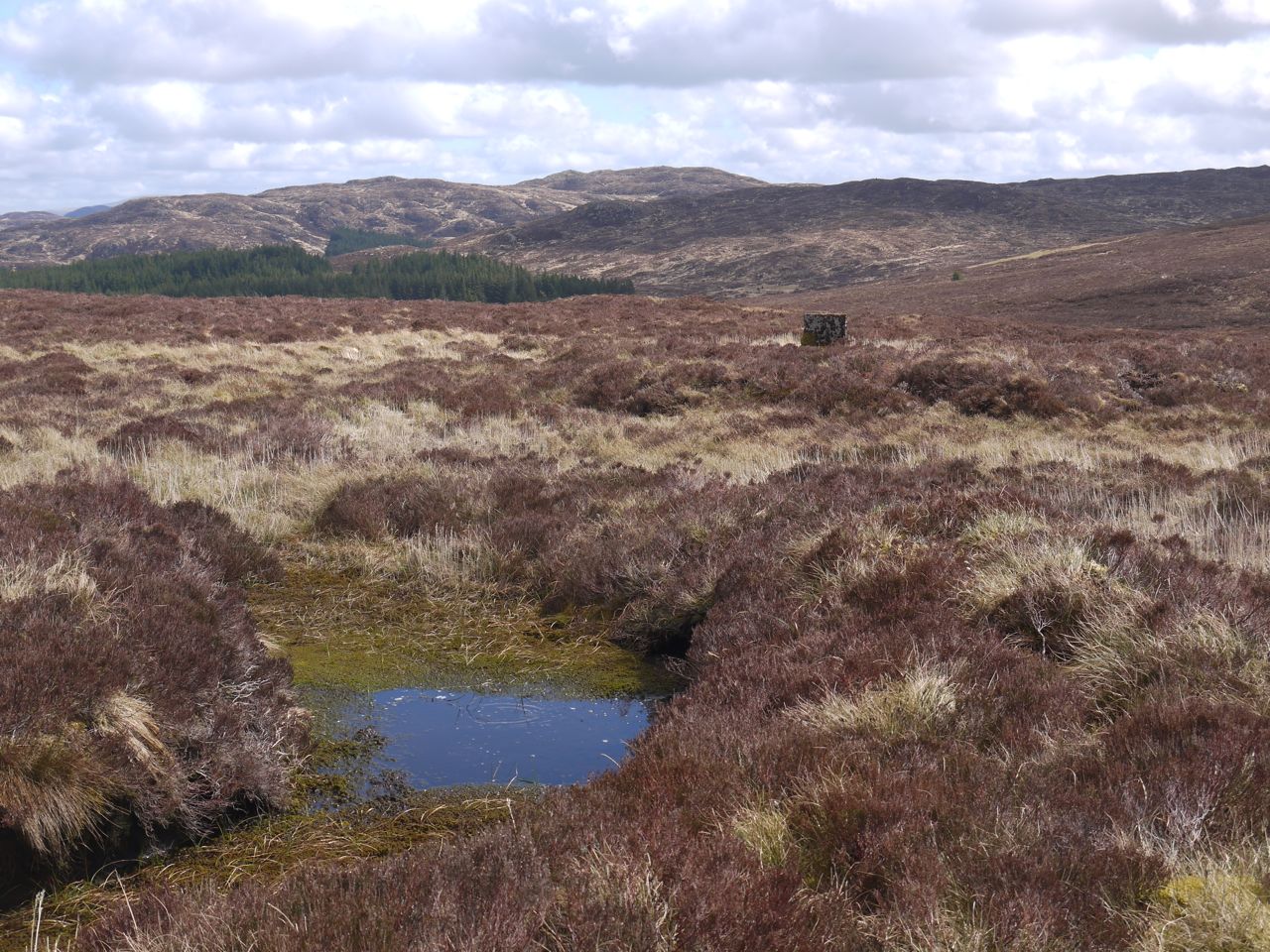
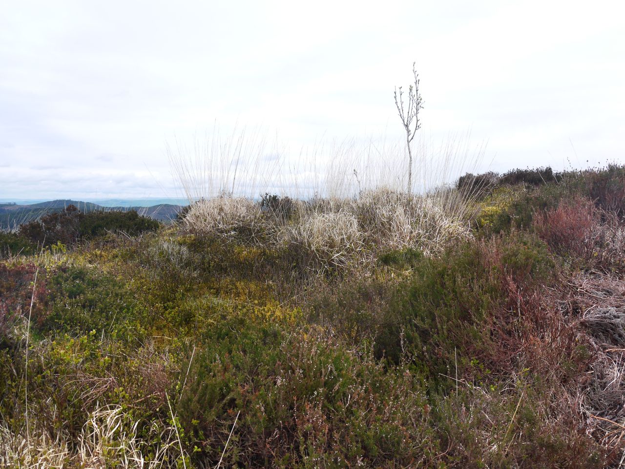
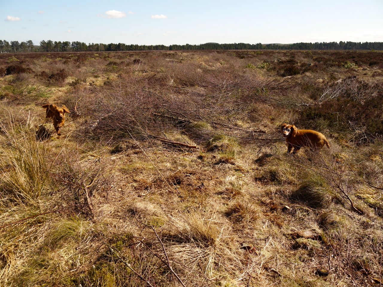
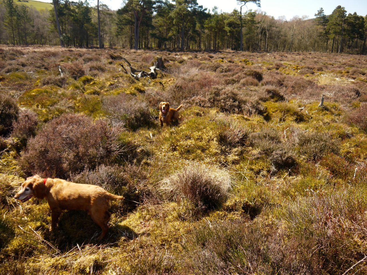
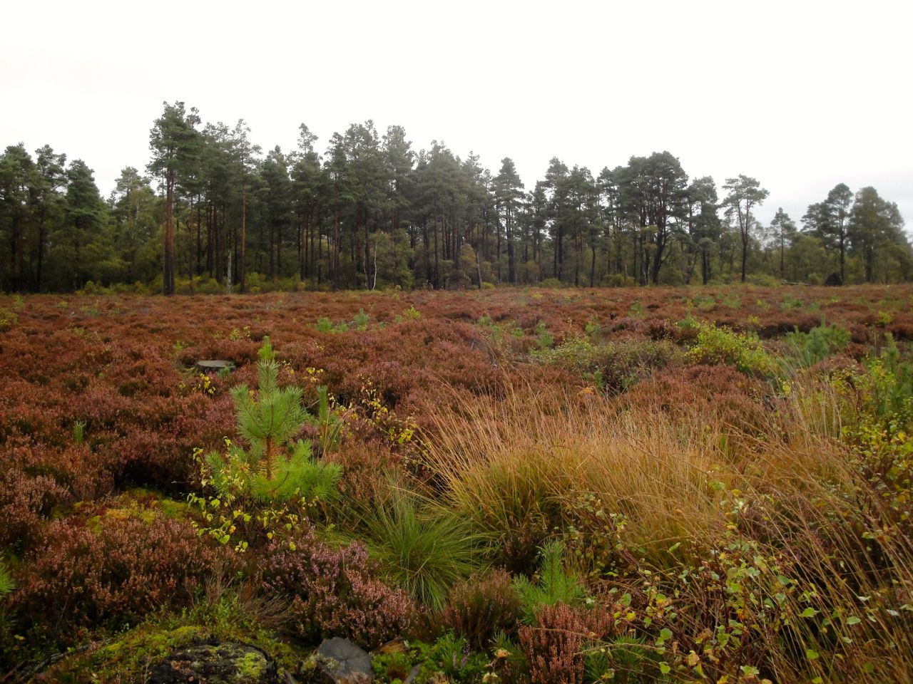
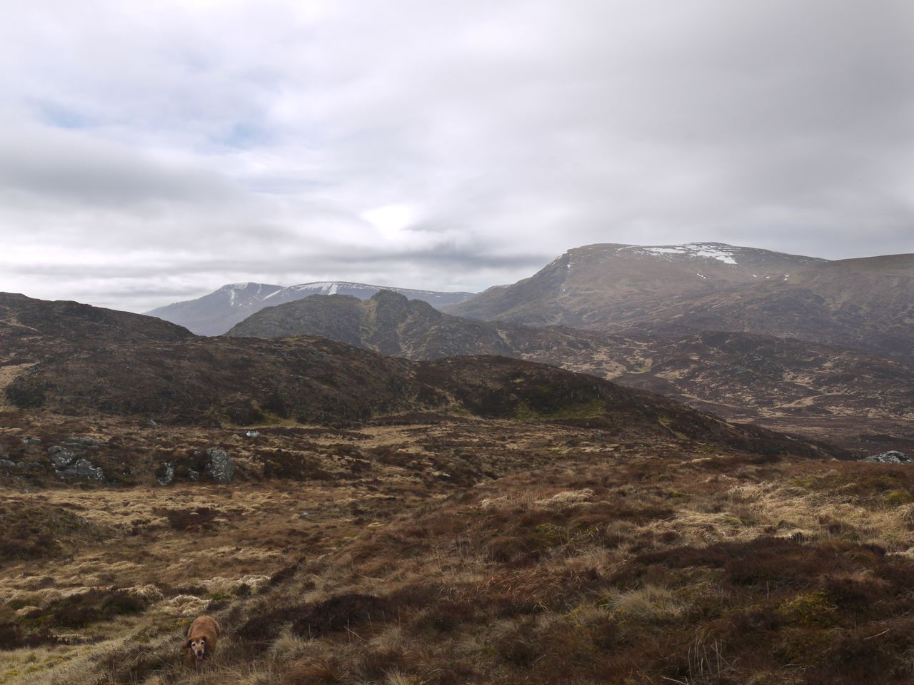
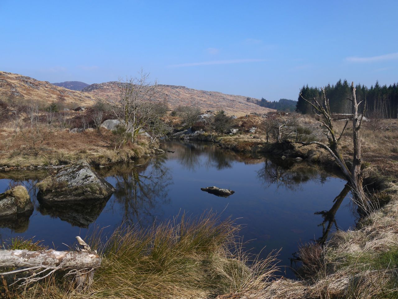
After a brief descent from the Hut, we climbed the first of many rocky knolls and eventually found ourselves looking across a shallow corrie with Rowantree crags to the left and the summit of Shiel Hill ahead. The ground in between was deep heather and tussocks with a small lochan emerging from the bog in the centre.
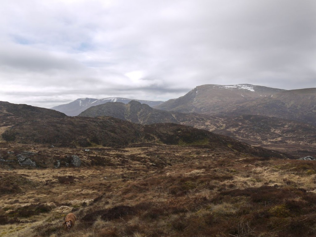
Craigmasheenie and the hills of the Awful Hand from the corrie on Shiel Hill
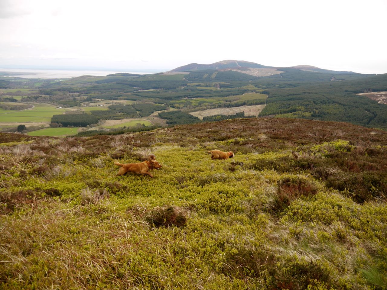
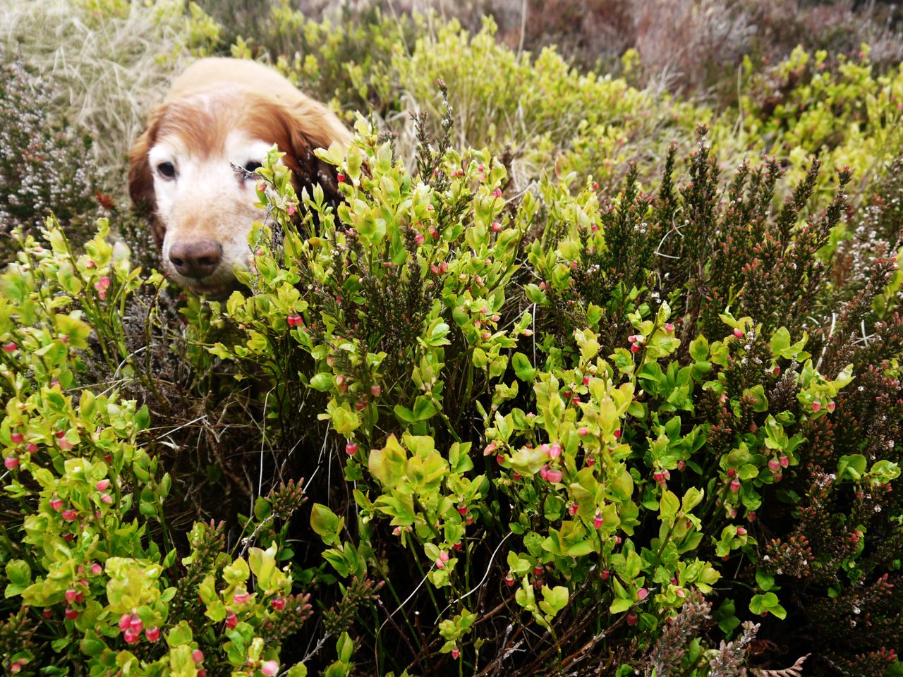
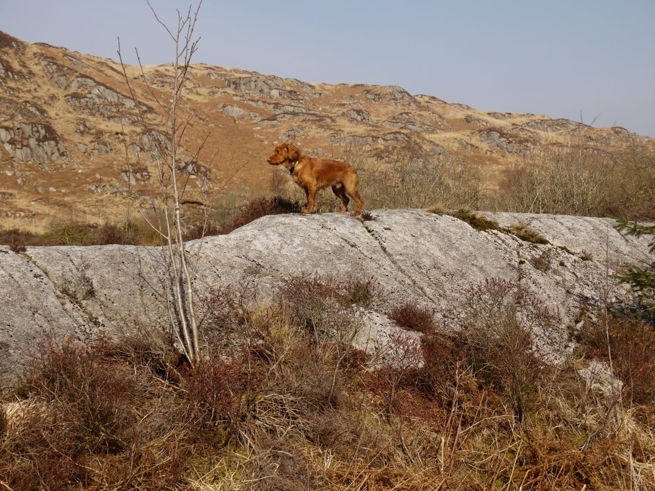
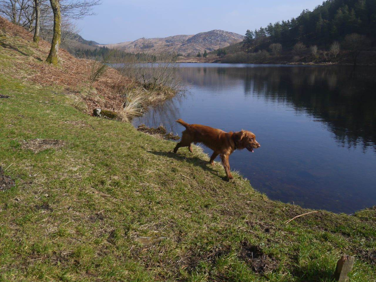
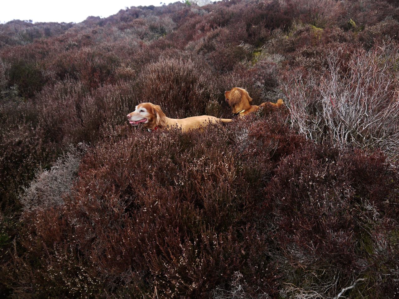
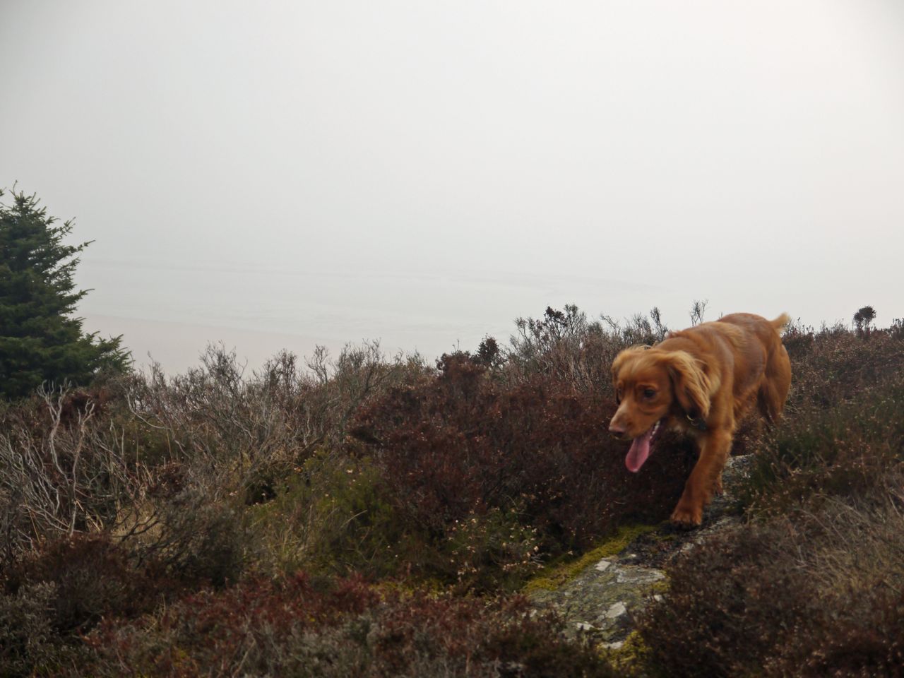
Sweep took the left hand side of the lochan whereas the rest of us took the right. He noticed this and became a little uneasy, looking this way and that. I tried to indicate that he could continue on that side but he took the plunge and swam across to us. The swim seemed easy enough though getting out was a bit of a struggle for him. I was so worried that I’d have to plunge in myself to rescue the old dog that I didn’t get a photo of his swim.
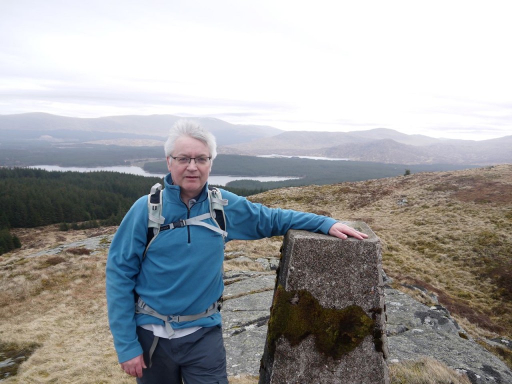
Shiel Hill trig, a tad windy
A direct climb to the summit would have been very steep so we swung around to the right then followed the high ground around over the unmarked summit then along to the Trig pillar that sits on a rocky outcrop but is not the highest ground. Some stunted trees had tried to take a hold here but hadn’t got above thigh height.

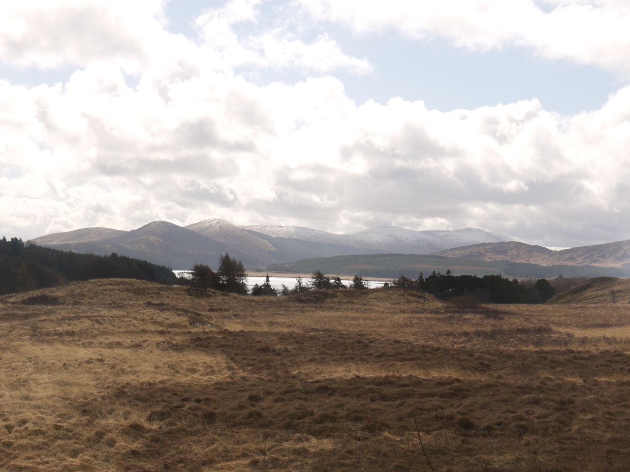
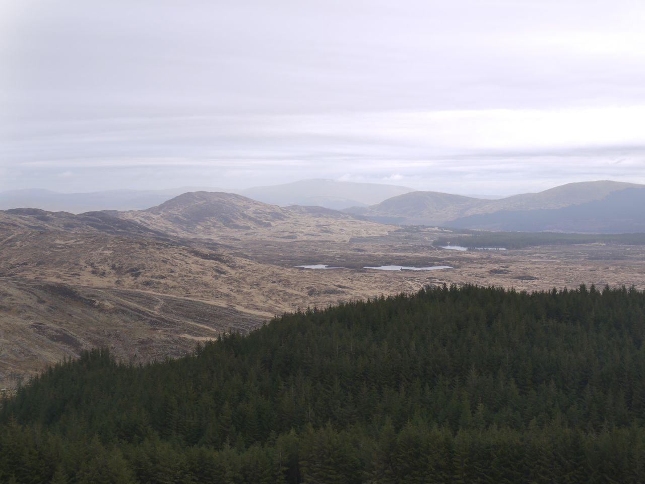
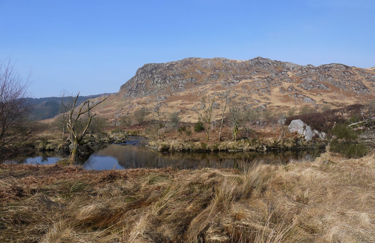
Craiglee, Lochs Goosie and Ballochling
The trig point afforded excellent views of the nearby lochs, (Lochs Riecawr and Macaterick are behind me in the photo above, Bradan, Goosie, Ballochling are out of shot) and the surrounding hills (Awful Hand range, Rinns of Kells, Craiglee and Craigmasheenie). On some older maps Loch Goosie is shown as having the shape of a goose but its name is actually derived from loch giuthasach (geusagh), lake of the pine-wood.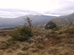
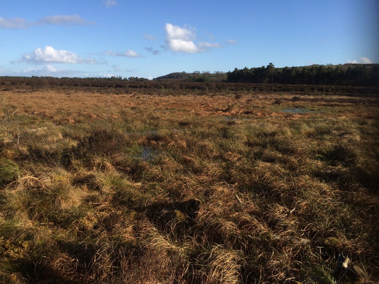
From the summit we headed down towards the outflow of Cornish Loch, and despite being downhill this was quite a strenuous trek through deep heather with boggy tussocks nearer the loch. “Unpleasant Dougals” according to Audrey. There were also some steep short drops requiring course deviations. All that said, the loch grew gradually closer and we could clearly see the rocky path up Cornish Hill on the far side of the Loch, so we knew that easier walking lay ahead.
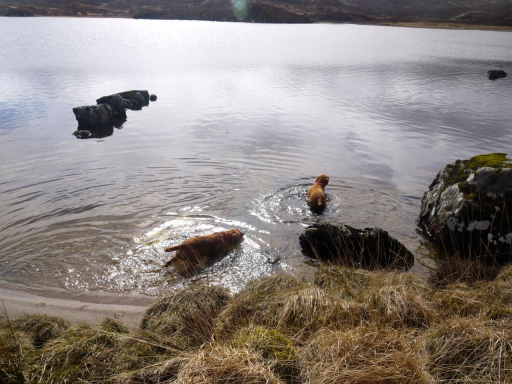
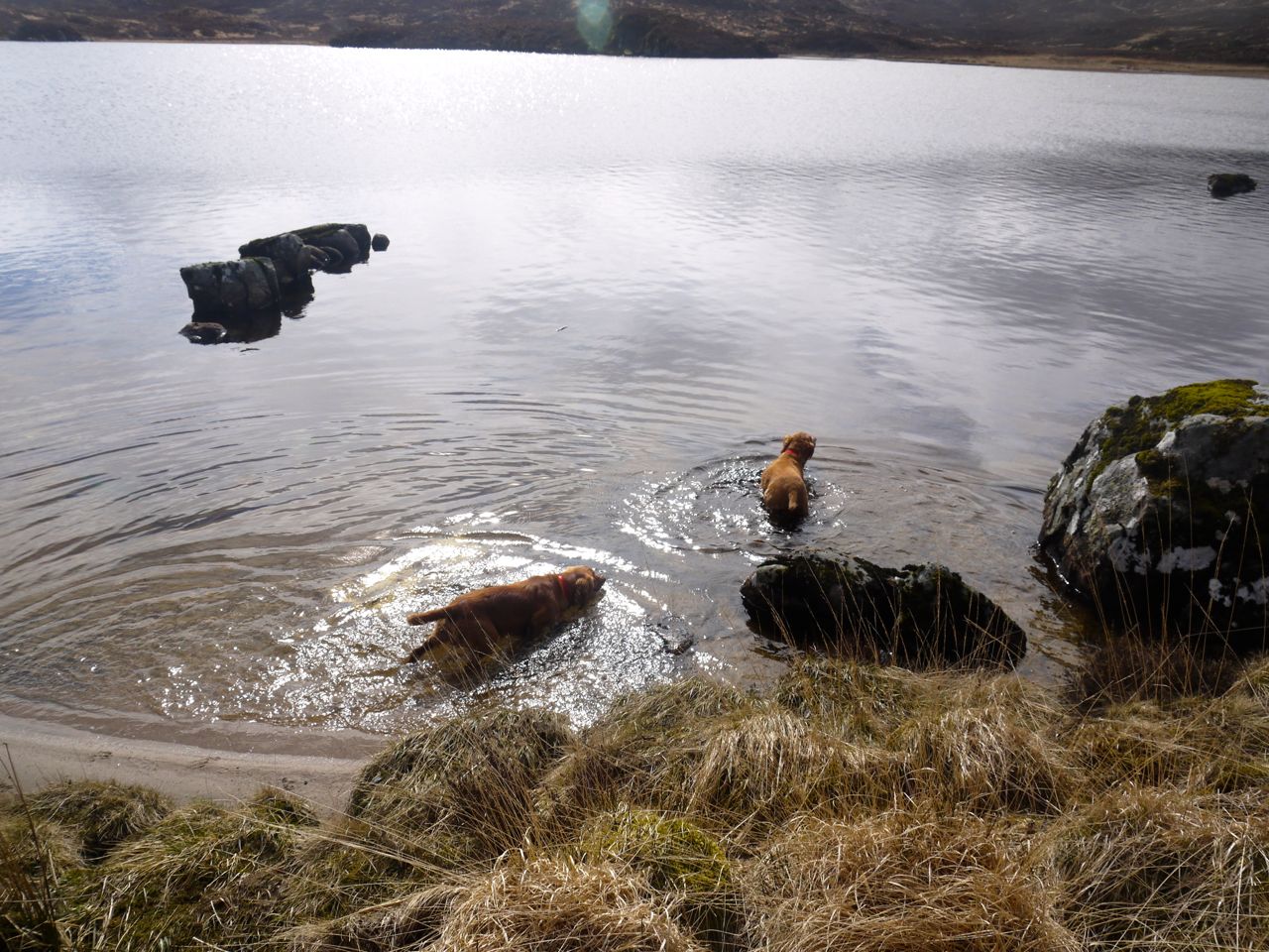
Swimming in Cornish Loch
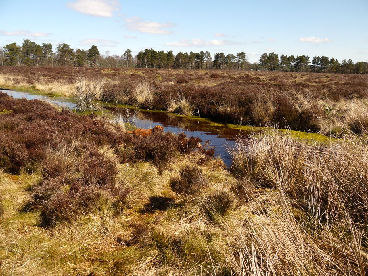
Once at the loch side the dogs decided to go for a dip. I’d like to say that we humans computed the month, altitude, wind temperature, windspeed and lack of wetsuits before deciding against a swim, but in reality some reflex in our brains kicked in such that we didn’t even consider the possibility.
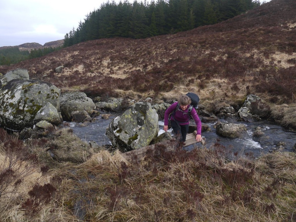
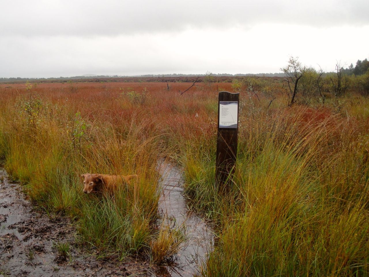
Crossing Girvan Water at the outflow of the loch had worried me a little but I reflected that the walker we met earlier in the day had not been wet. He could obviously have been drenched in crossing the water but changed his clothes before meeting us, but I set that possibility aside. The crossing turned out to be easy enough. In other words we didn’t fall in, well the humans didn’t but one dog did. If you find yourself here and the crossing is too difficult there is in fact a footbridge a couple of hundred metres downstream. We couldn’t see it until we were across and had gained a little more height.
Lunch was taken seated on a convenient boulder overlooking the loch where I could reflect and regret forgetting to pack my hollow chocolate bunnies. Cornish loch lies in a broad rocky hollow bounded by Cornish Hill, Shiel Hill and Craigmasheenie and is not named for Cornishmen, though Cornishmen did work the lead mines at Garryhorn eight miles to the east. Old maps render the name as Loch Cornish, more in keeping with the Gaelic word order, with the descriptor following the main word. The name is thought to be an anglification of Loch Coire an Eas, the lake of the corrie of the waterfall. Once “coire an eas” became Cornish, an apparently English word, English word order has been used, so we have Cornish Loch. The waterfall is on the outflow of the loch, the Water of Girvan as it is named on the OS map, though perhaps it should just be the Girvan, since its name is from garbh (garv) amhuinn (avon), rough river.
After lunch, as we enjoyed the view, a family walked past us with a labrador and set themselves down by the loch side. This brought about a behavioural change in Eddie. He switched from his usual “chasing birds” mode, which admittedly had been somewhat trying on the hill since many “wanton birdies were flitting about” just as described by Burns, into “barking at another dog while running away to a safe distance” mode. When chasing birds he comes back when called but is so excited that he continues running around at full speed until the adrenaline wears off. But he doesn’t bark. Beside the loch, the peace and tranquility of the wilderness was shattered. Though I suppose it was an organic noise. Unfortunately though, he set Sweep off. Sweep has an antipathy to pausing on a walk and will bark when one stops for a breather or to consult the map. He had forgotten to bark when we stopped for lunch, but the pup barking reminded him. So there was nothing for it but for us to pack our bags and get going again.
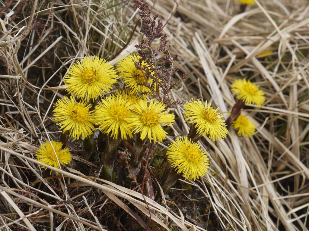
Coltsfoot
After a brief detour downstream to have a view of the (unimpressive) waterfalls we followed the rocky path zig-zagging up Cornish Hill. Beside the path we spotted a small patch of yellow flowers standing out against the greys and browns of the surroundings, coltsfoot I think. This was used in past as a decoction for colds or smoked to help bronchitis. Its official name Tussilago even means cough away. Herbal medicine websites highlight that it has been used for thousands of years, but reading pharmacognosy sites the phrase that caught my eye was “hepatotoxic alkaloid”. I suppose the dead don’t cough.
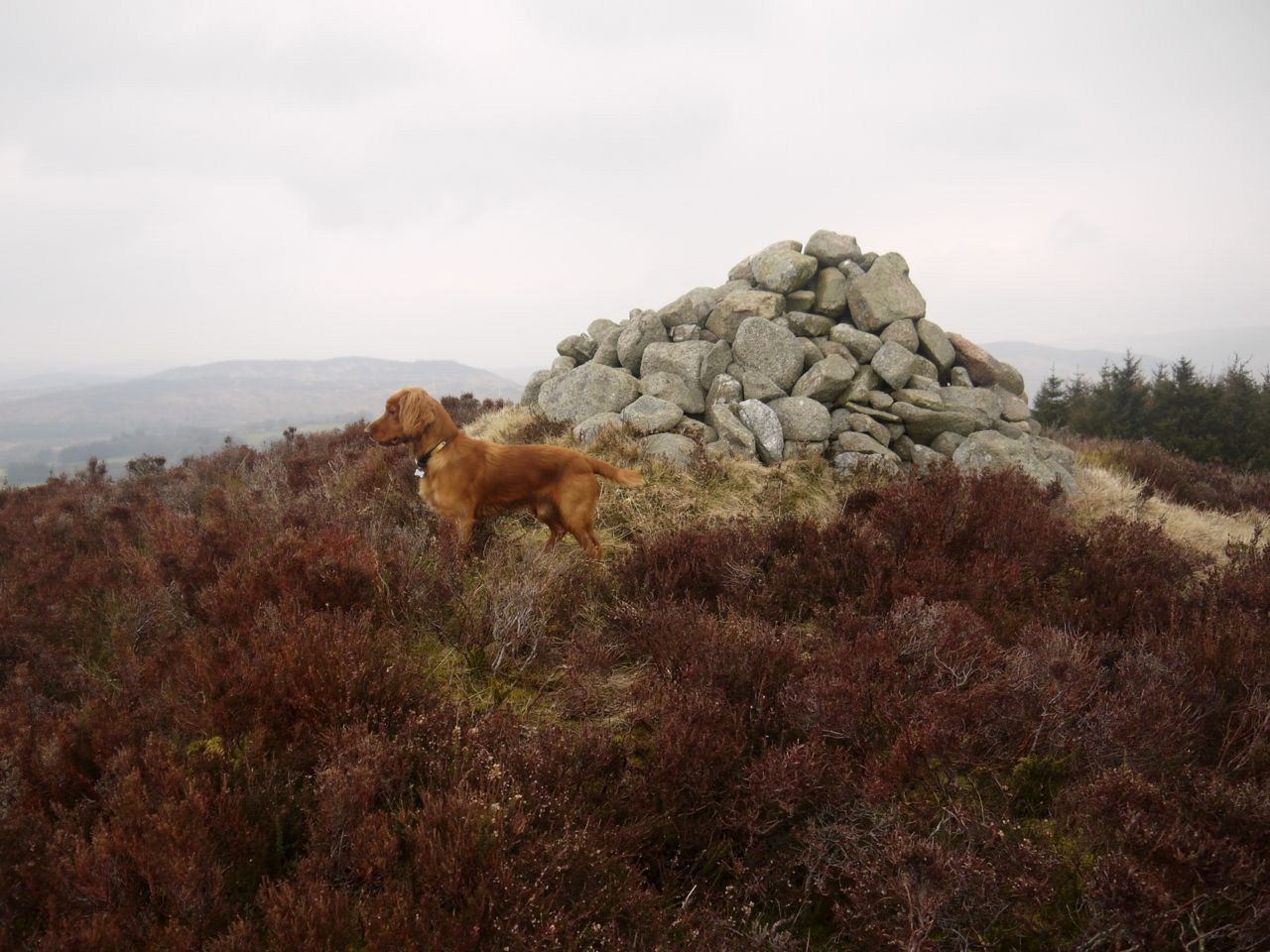
Cornish Loch from one of the cairns on Cornish Hill
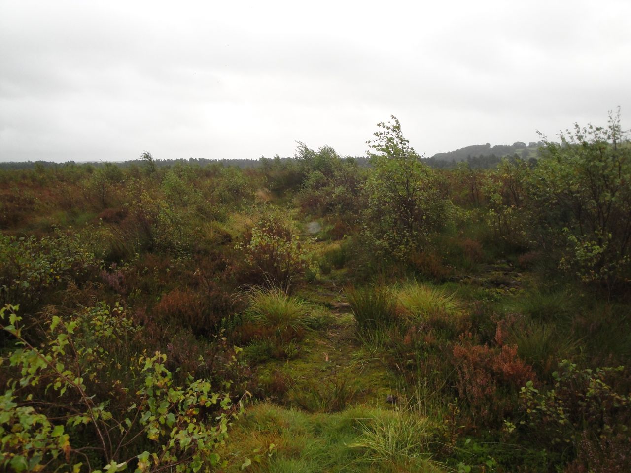
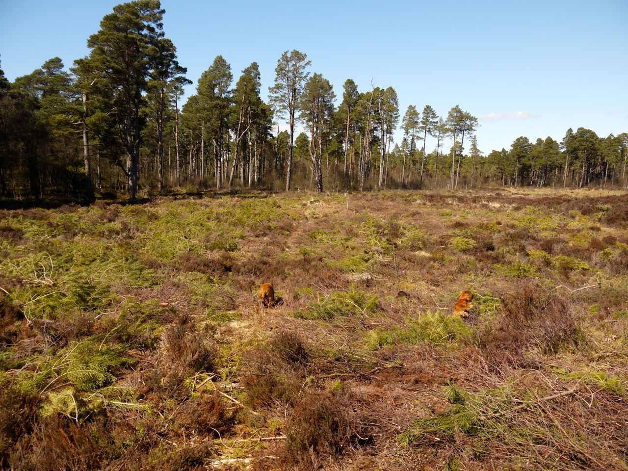
On Cornish Hill there are several cairns, some of which are built of rocks that look newly quarried (i.e. not weathered), and I suppose each cairn offers different views. The summit of the hill is off to the west of the rocky path so visiting it requires a little more walking in heather and tussock. We wound our way on the path, across the hill and then down into the trees of Carrick forest.
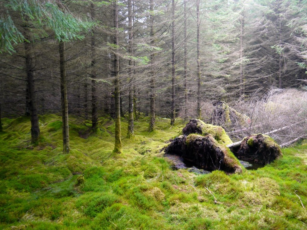
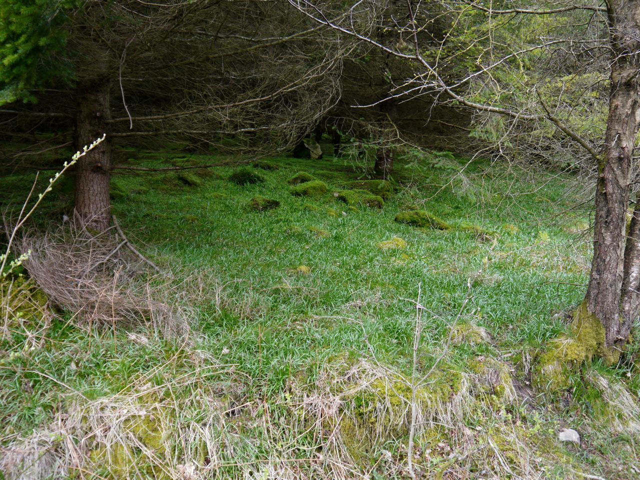
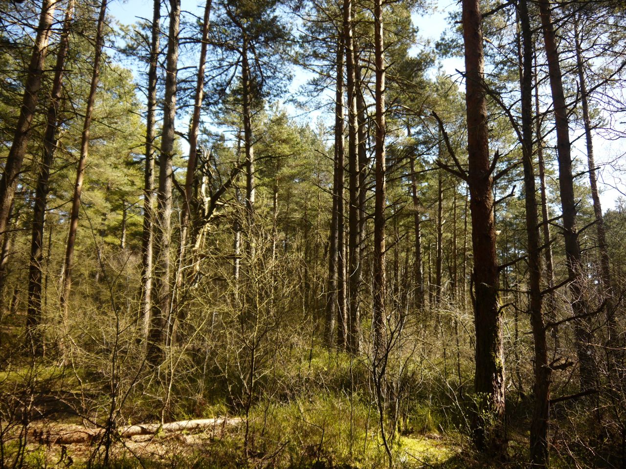
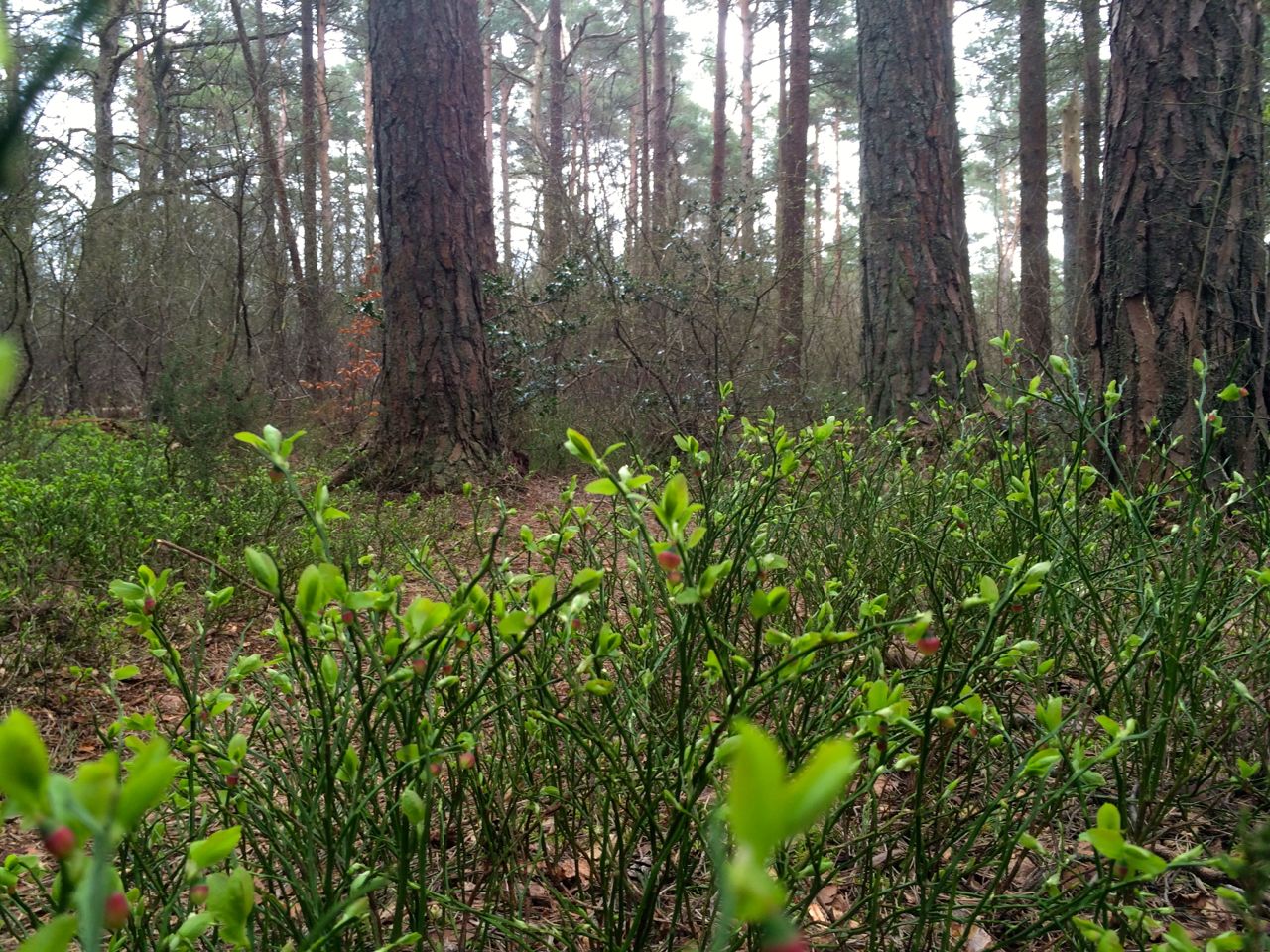
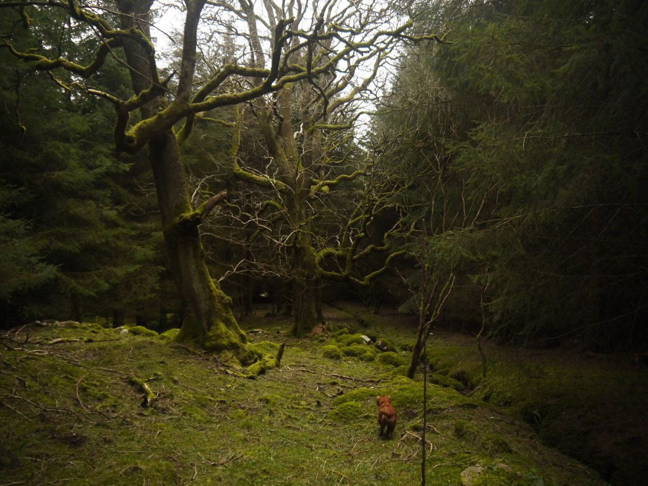
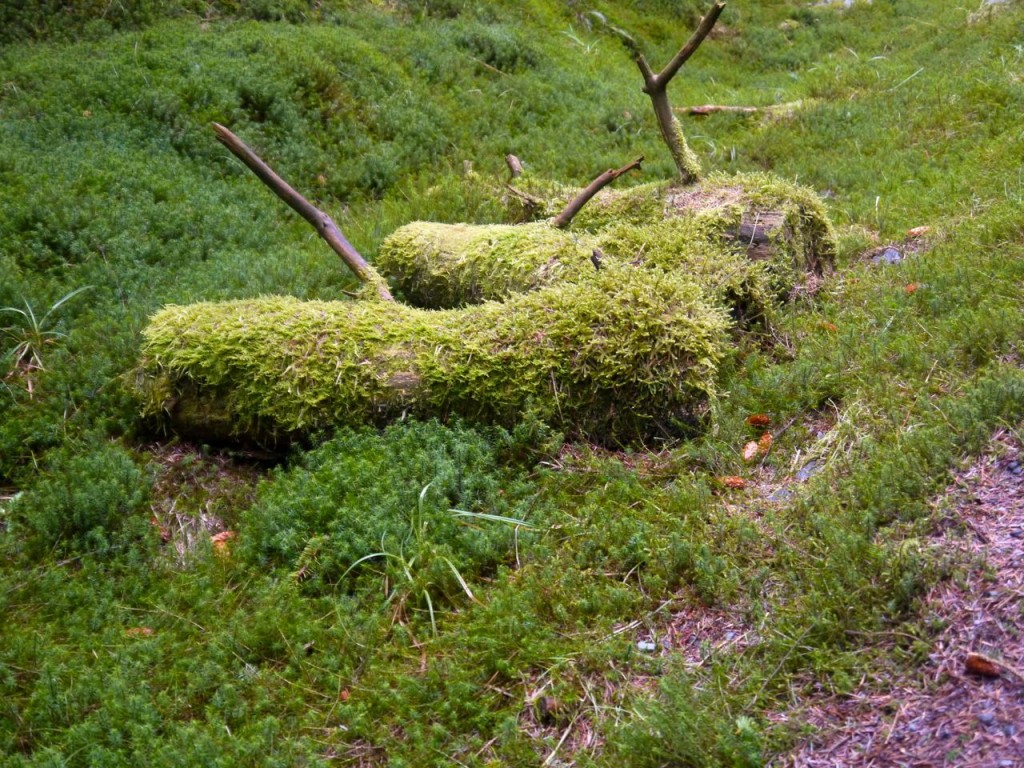 The forest floor, tree trunks and old logs here were covered with bright green moss giving it an almost unnatural look. If I had just seen a photograph I would have thought that it had been photoshopped. But it was real. The forest path itself was covered in old pine needles giving just the right balance of firmness and give, a joy to walk on.
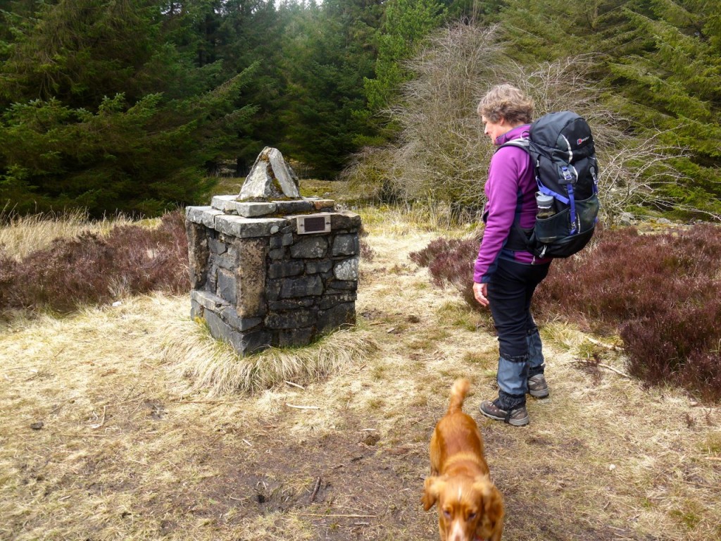
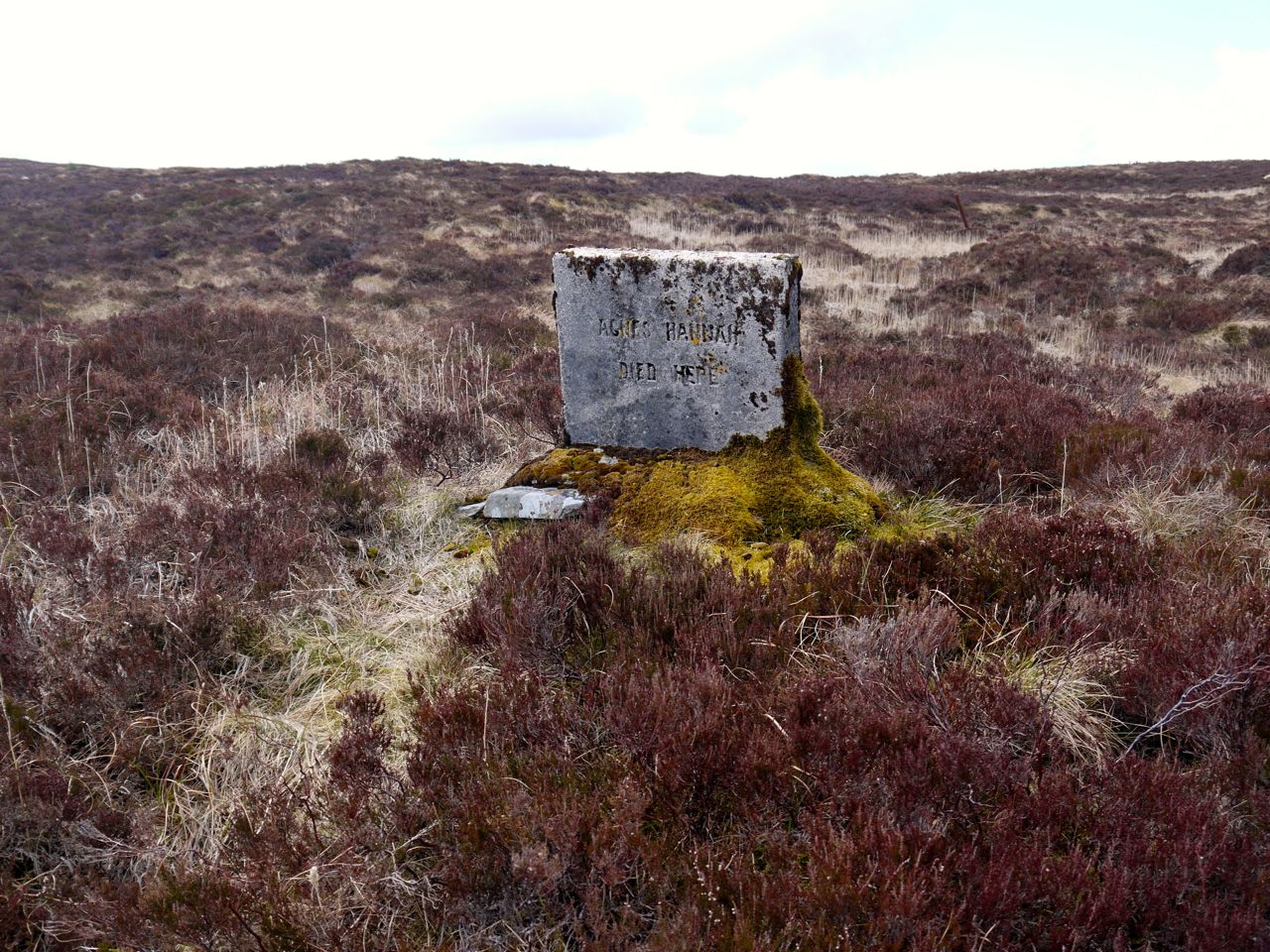
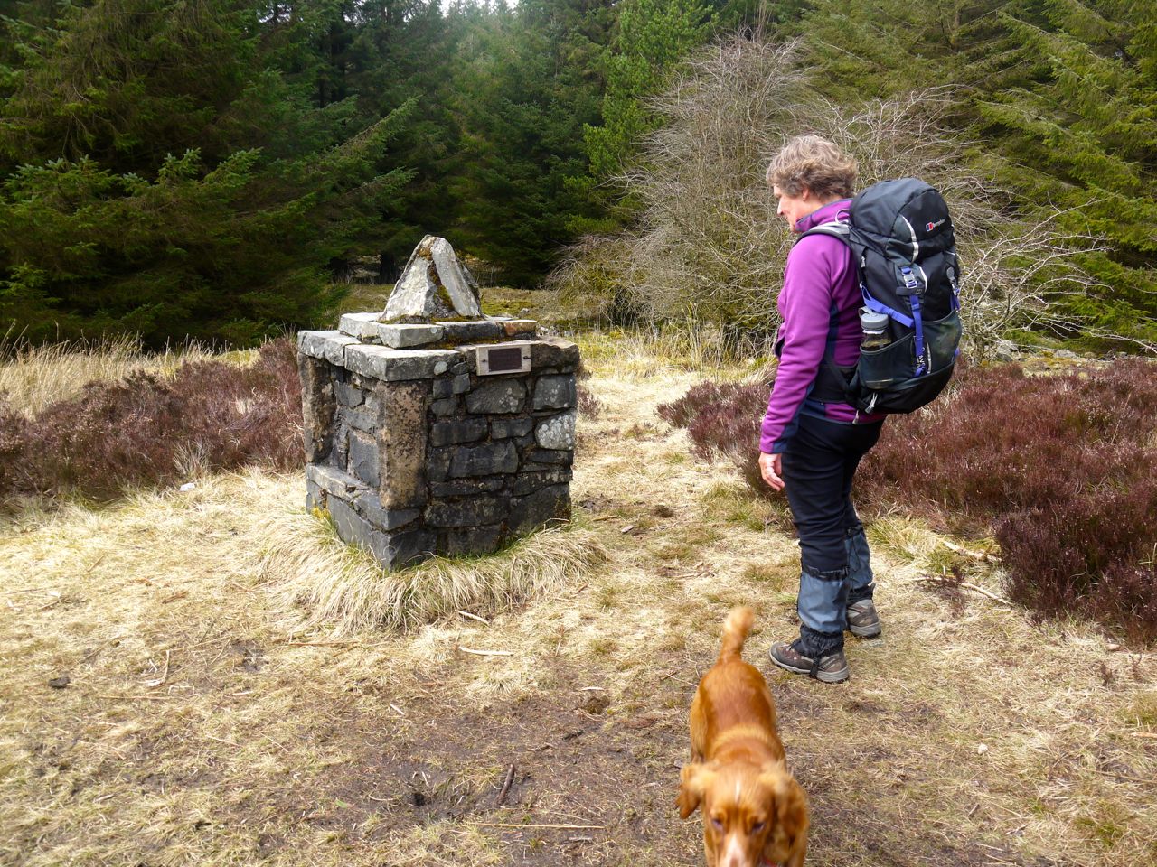
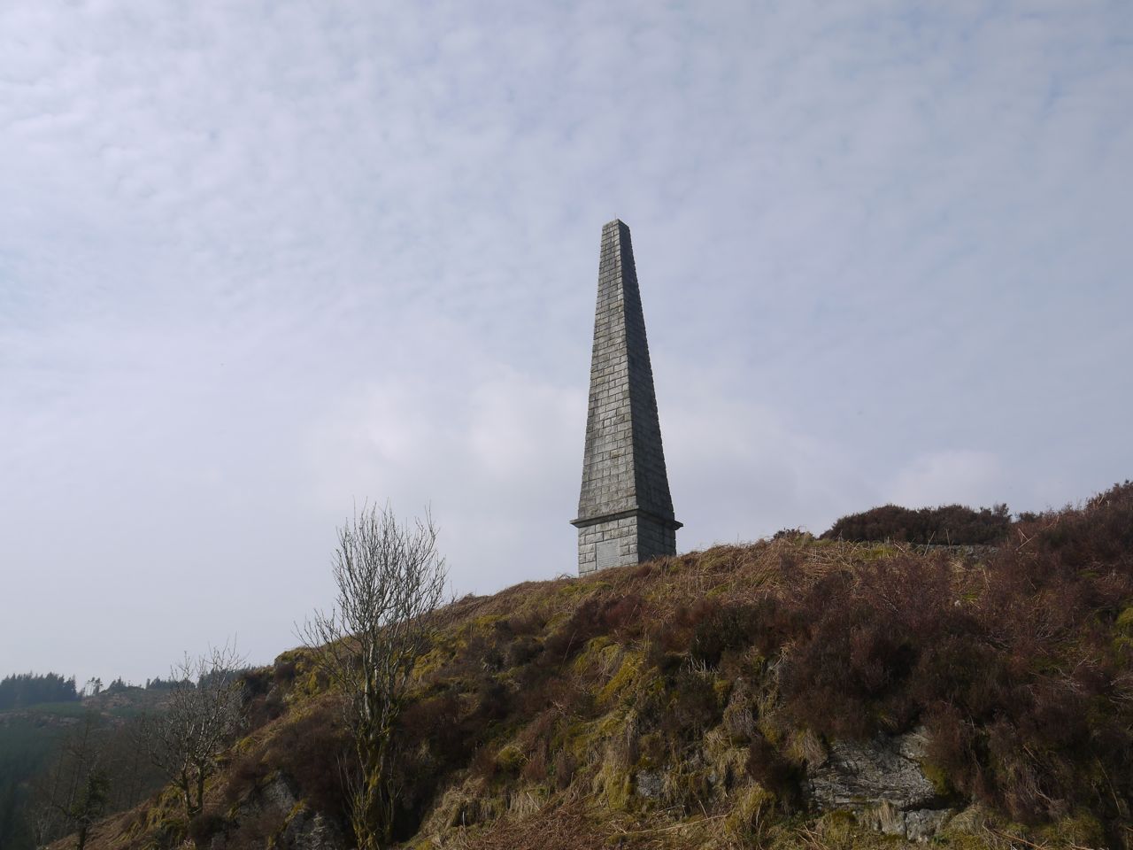
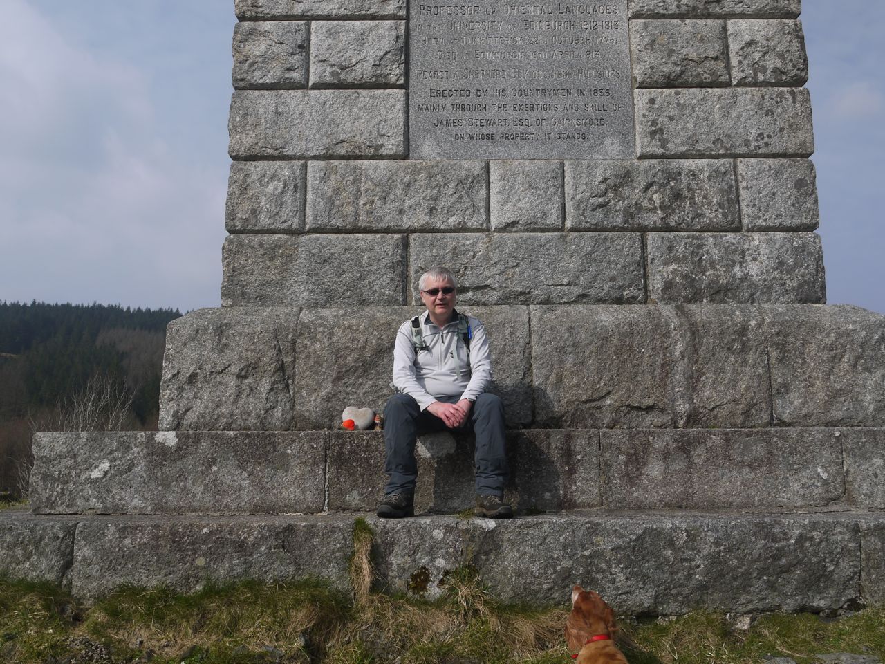
Craiglour Lodge Memorial
We came upon a memorial for Craiglour Lodge and informing us that Catherine Lawson was born there on 11th November 1940. It is five years since I was last here and I tried to find out more about Catherine Lawson then without any success. I’ve tried again with the same outcome. I had presumed that the Though this place is now next to a well walked forestry footpath, but it must once have been quite remote place.
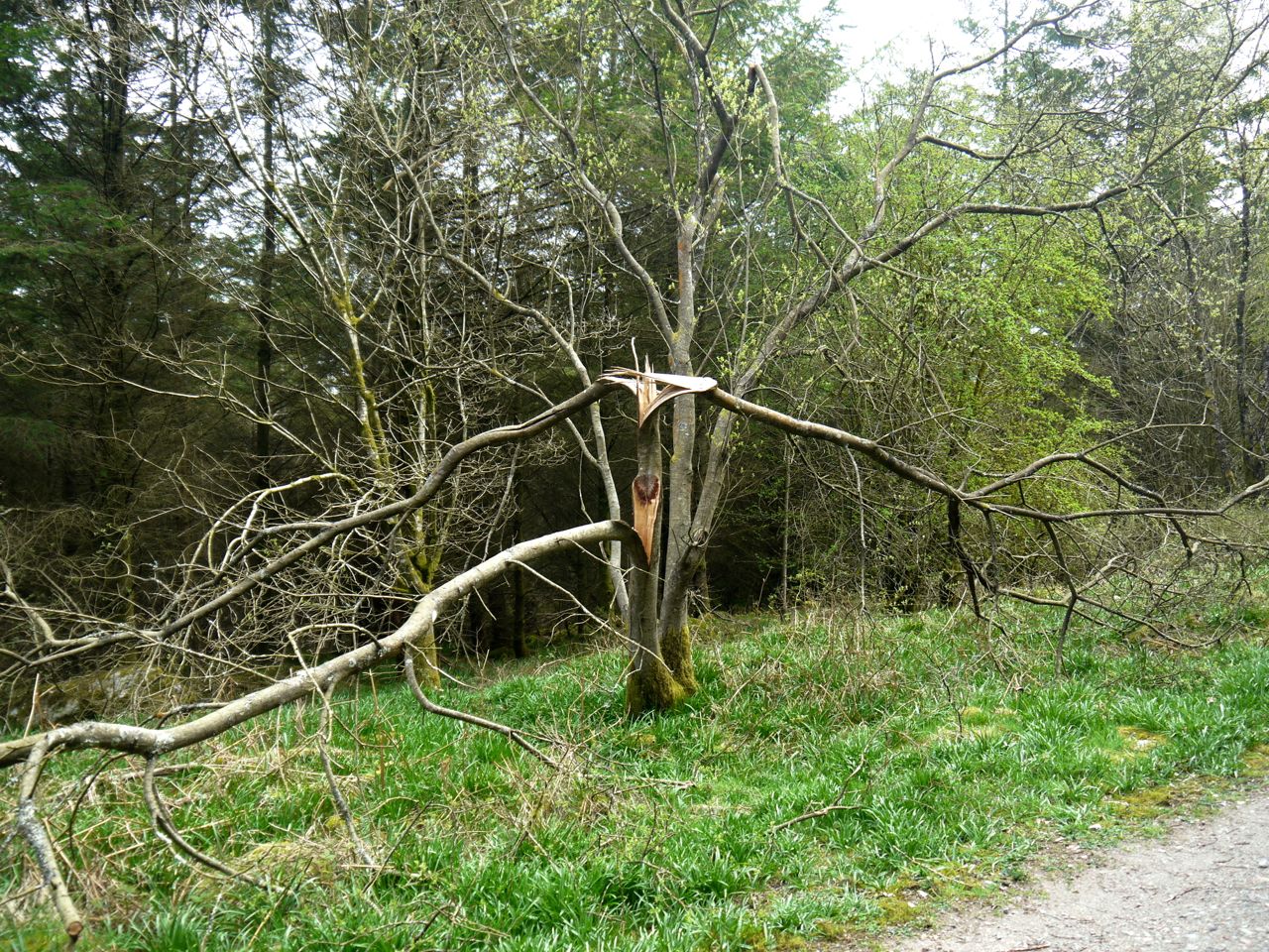
Nearby there looks to have been attempts at building shelters (or bonfires) by leaning branches up against the mature trees. Either way the effort has left something to be desired: the wood looked too green to burn and there wasn’t much space if it was a shelter. Perhaps there is another explanation, just tidying up?

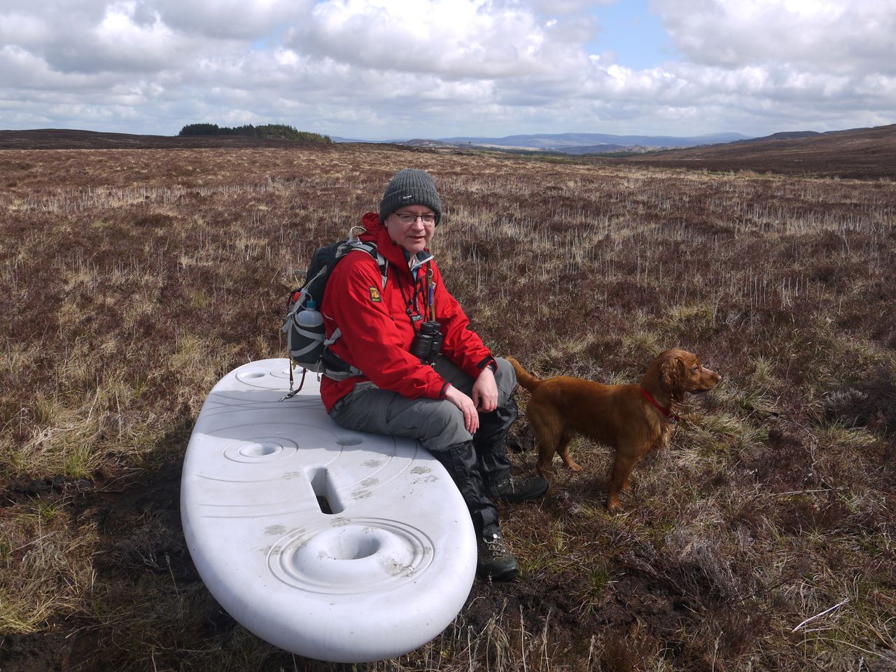
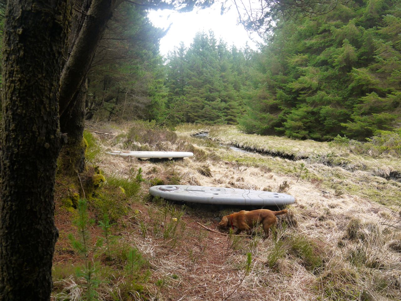
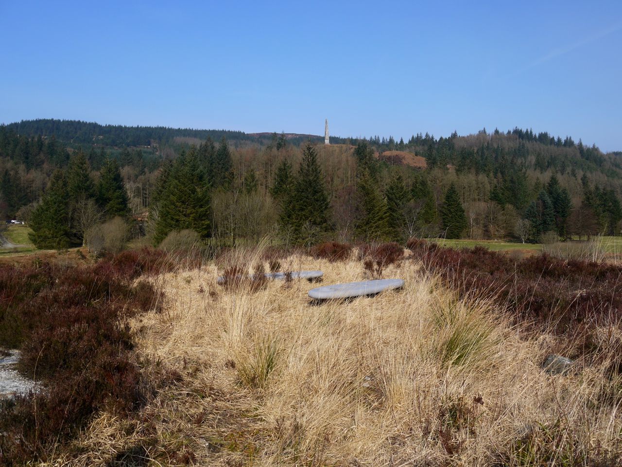
Rosnes Benches in Carrick Forest
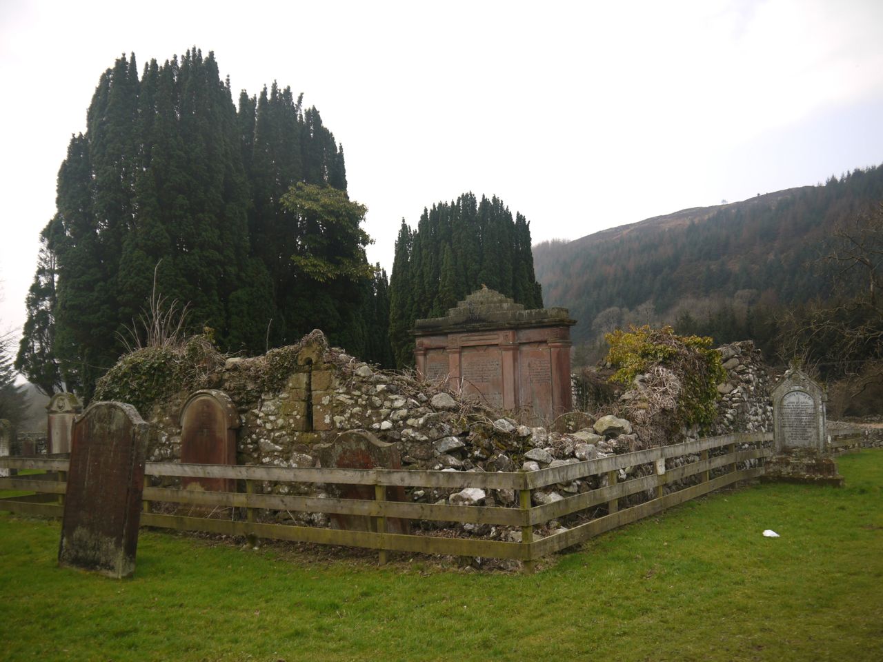
Our next finds were the Rosnes Benches close to the footbridge over the Water of Stinchar. These two benches are different colours. Presumably they get different amounts of sunlight and the far bench has faded more quickly. We lay on the benches, as has become our custom, and enjoyed the moment, “becoming part of the immediate context surrounding us.” Having become one with nature, I rose from the bench, stripped and plunged into the invigorating waters of the Druid’s sacred river…just kidding, I didn’t become one with nature.
Unlike the other Rosnes benches we had visited that had offered wide vistas, while sitting on these two we were forced to consider our more immediate surroundings, the trees, grasses, river and sky. On a warmer day I might have lay there longer.
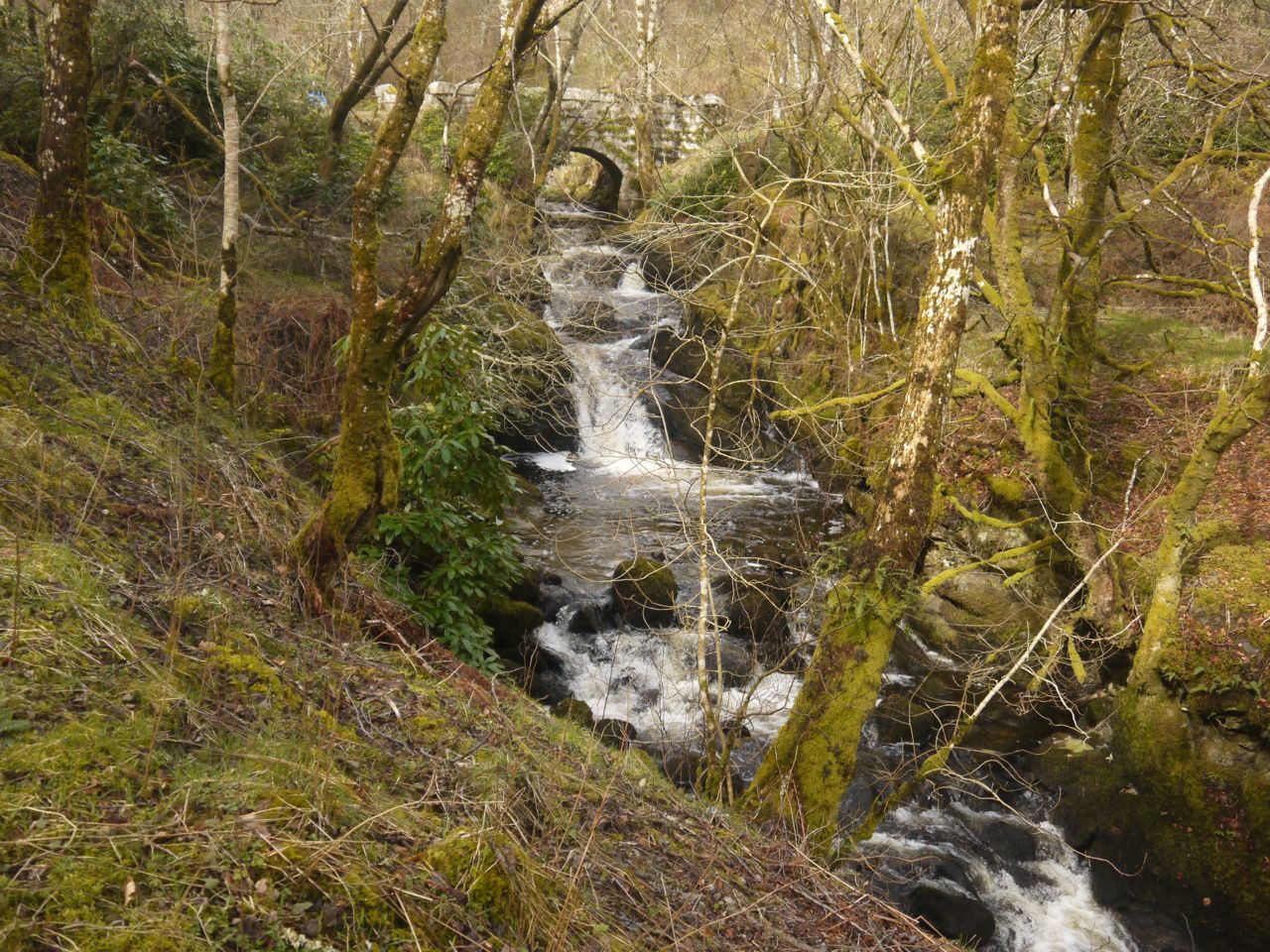
A few more relaxing minutes walking through the forest and we met the river again at Stinchar Bridge. A picnic table here overlooks the waterfalls and pools and gave us our last photo opportunity of the walk.
[osmap gpx=”http://www.screel.co.uk/walks/wp-content/uploads/2015/04/RK_gpx-_2015-04-04_1023.gpx”]
*PS Burns changed Stinsiar to Lugar in the final lyrics to improve the line.

 Waterhead Rosnes Benches
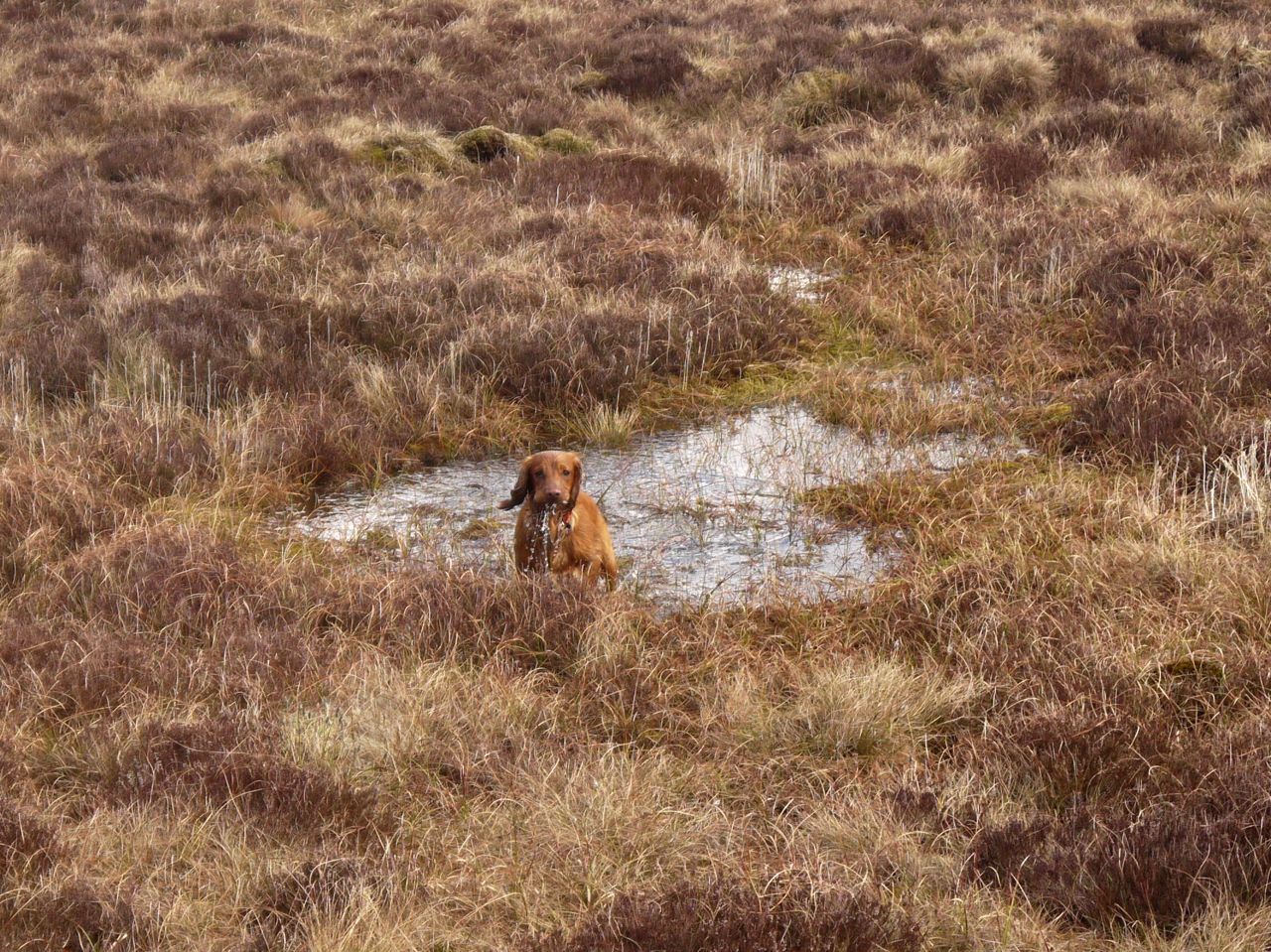


