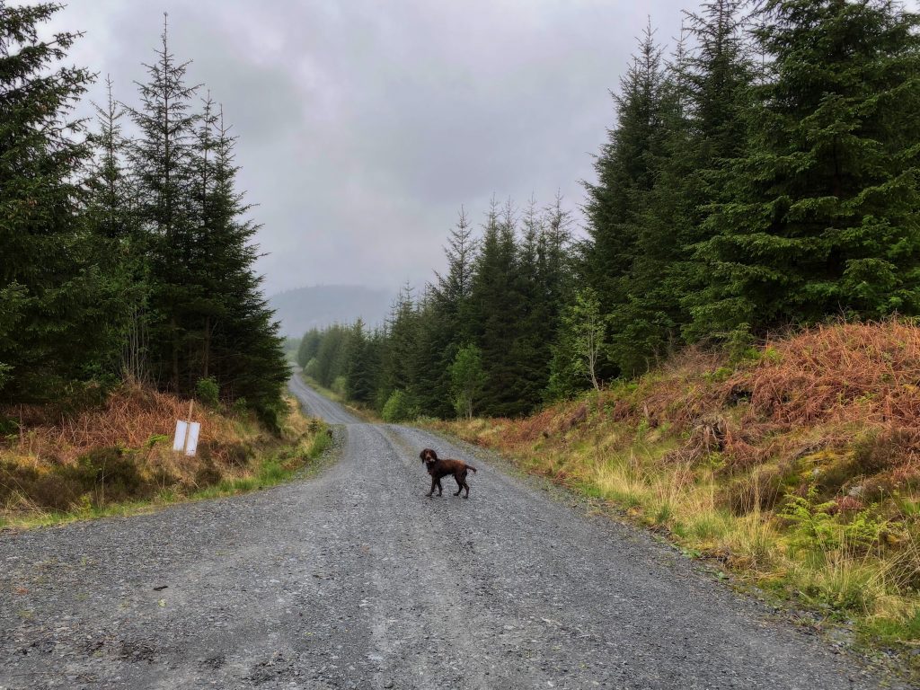
10.44 miles 5h 12m ascent 271m
Craigencallie-Back Hill of Bush
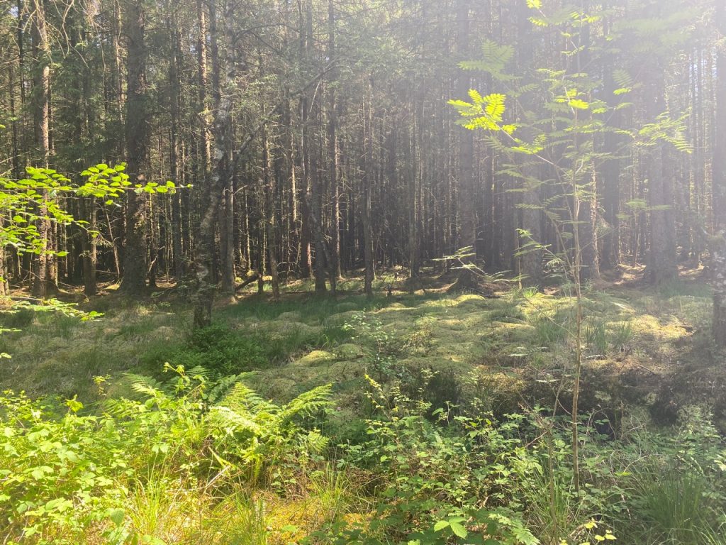
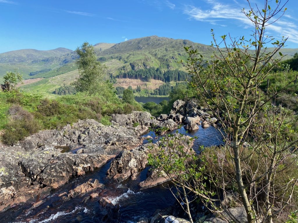
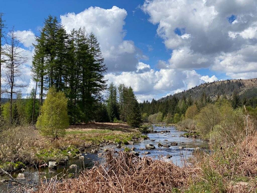
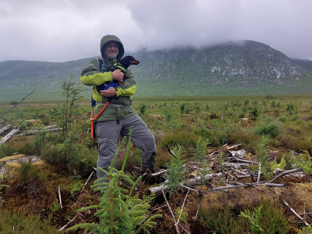
The Dungeon of Buchan is not a deep dark prison. It is an Daingean, the stronghold of Buchan. In the photograph above I am beneath its ramparts. But don’t be fooled. Those sheer granite cliffs are not its main defence. The real challenge lies in reaching them at all. Between us and them are the quakkin’ quaa and green morasses of the Silver Flowe.
Continue reading