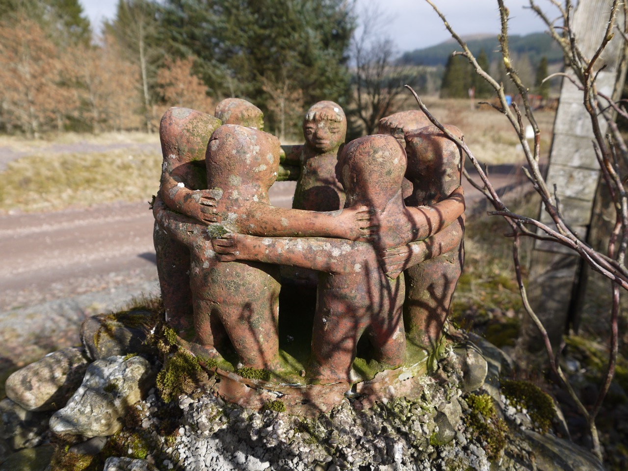
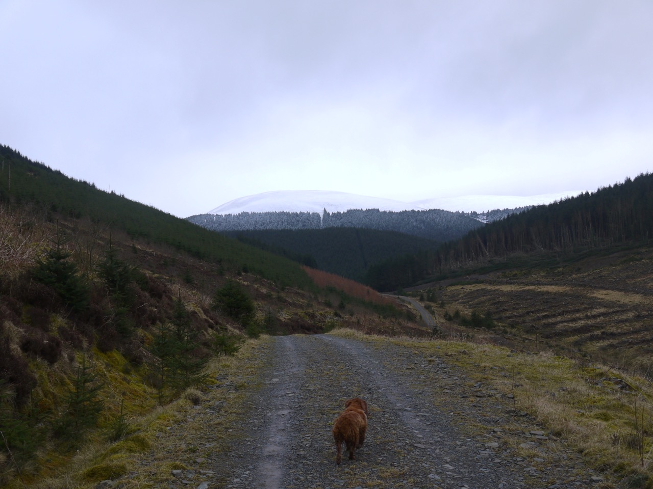
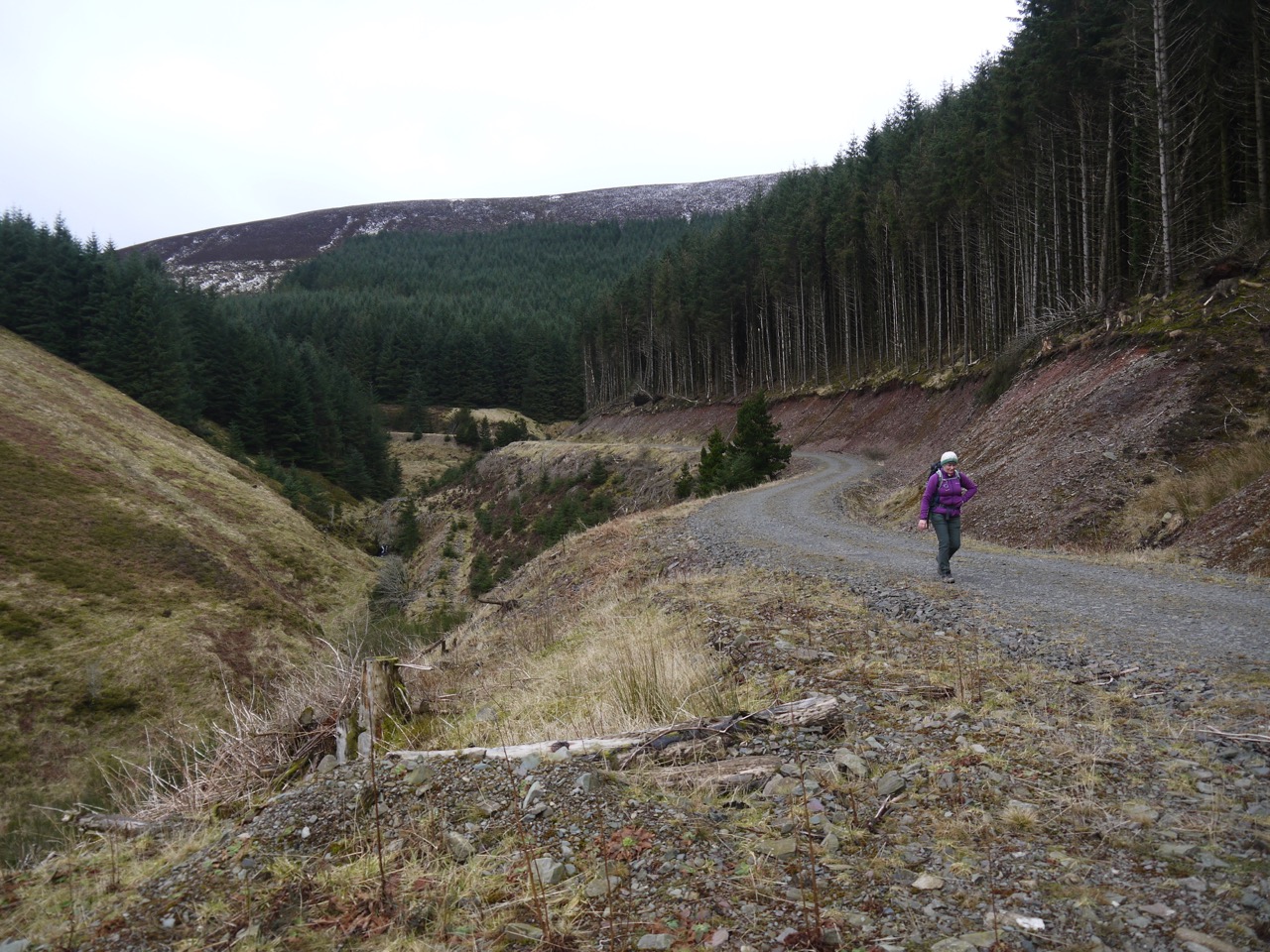
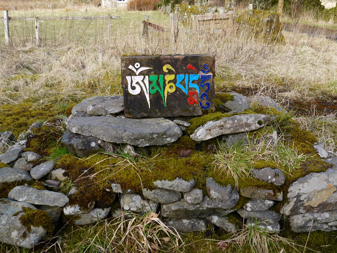
10.9 miles 5h 1m ascent 361m
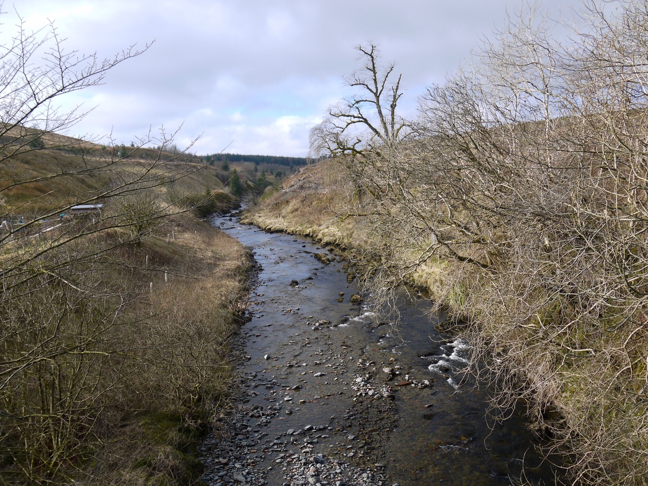
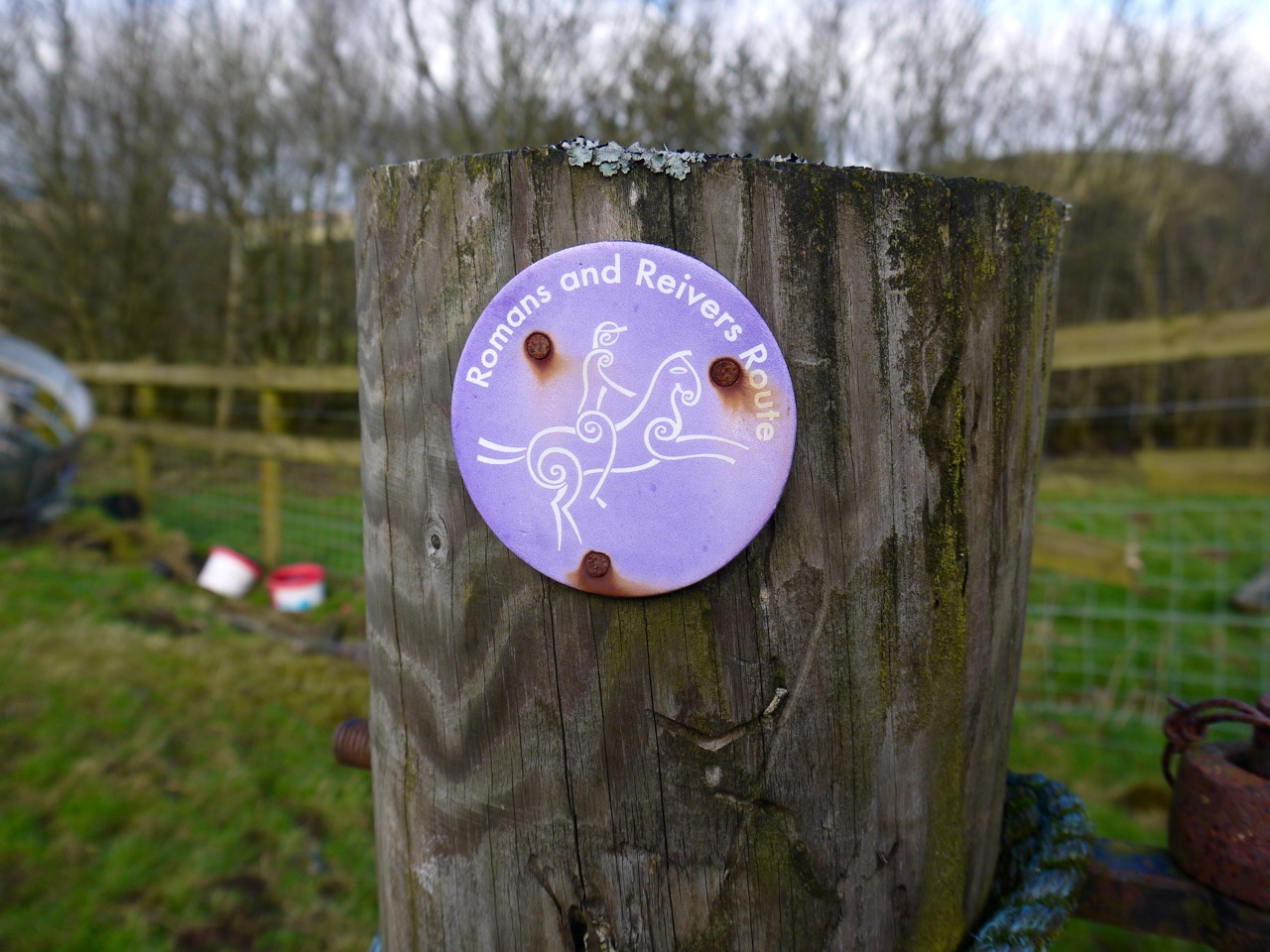
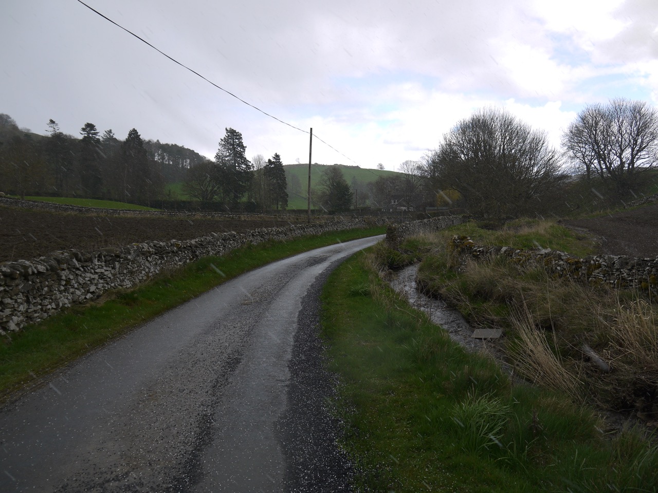
 The quarry near Camp Burn to the Dunlop bench in Hawick
“It is good to have an end to journey toward; but it is the journey that matters, in the end.”
― Ernest Hemingway
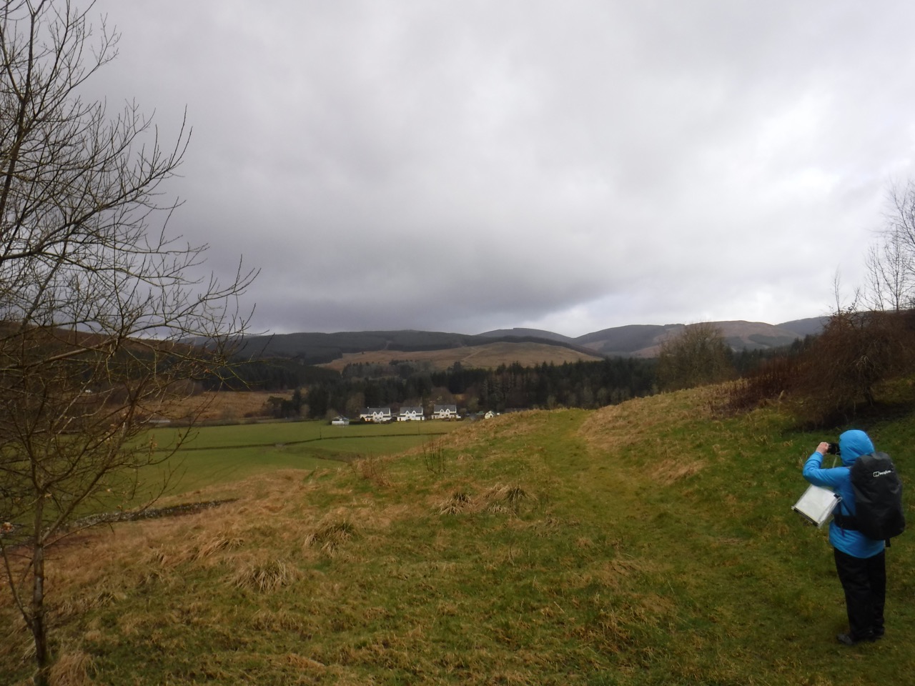
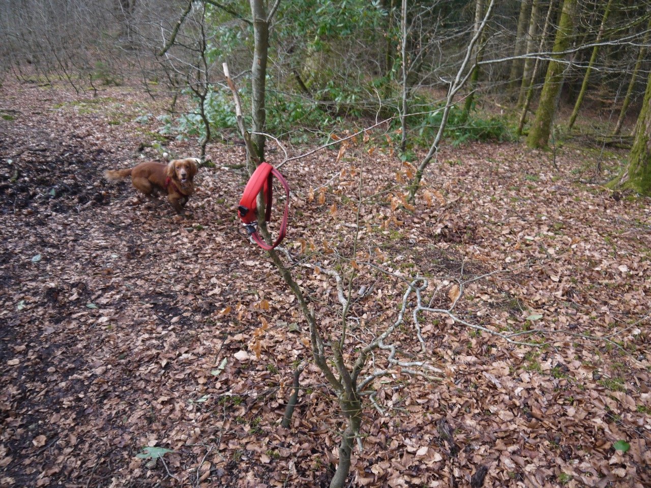
This was to be the final leg of our Romans and Reivers walk. The sky was blue and cloudless when I left home, 6° according to the car, but by the time we started to walk, the clouds had gathered and the wind was cold enough to freeze the rain as it fell. In the minutes it took to get the dogs out of the car and pull the rucksack onto my back, the cold had numbed my fingers despite gloves, and it would be 45 minutes before I had my extremities warm again. I blame the numb fingers for not replacing my lens cap properly, losing it twice, and the smears on the lower part of my photos.
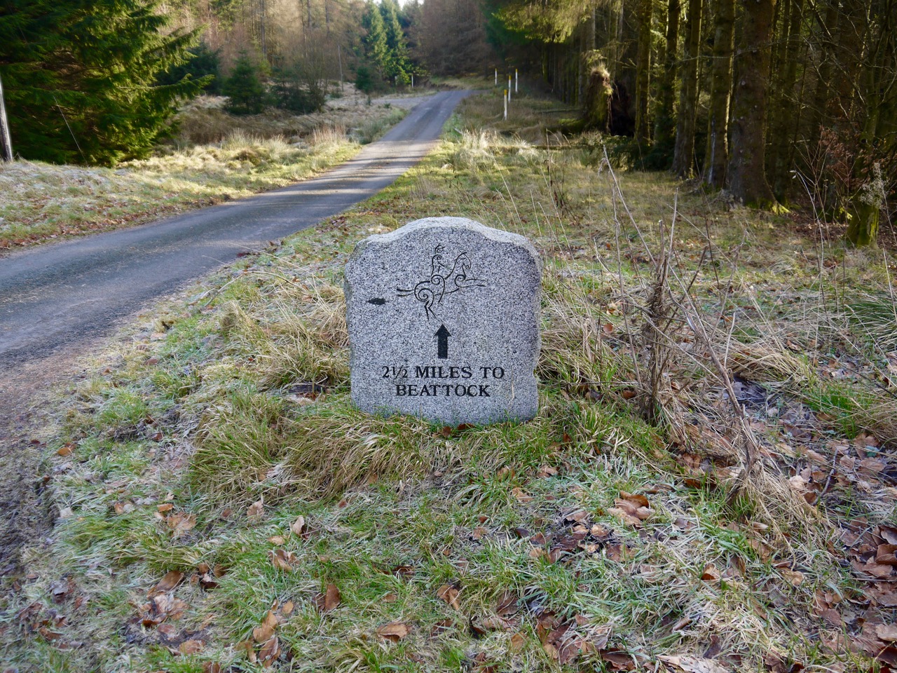
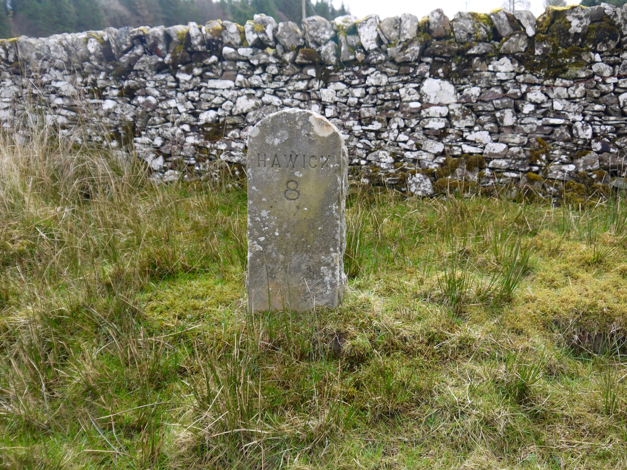
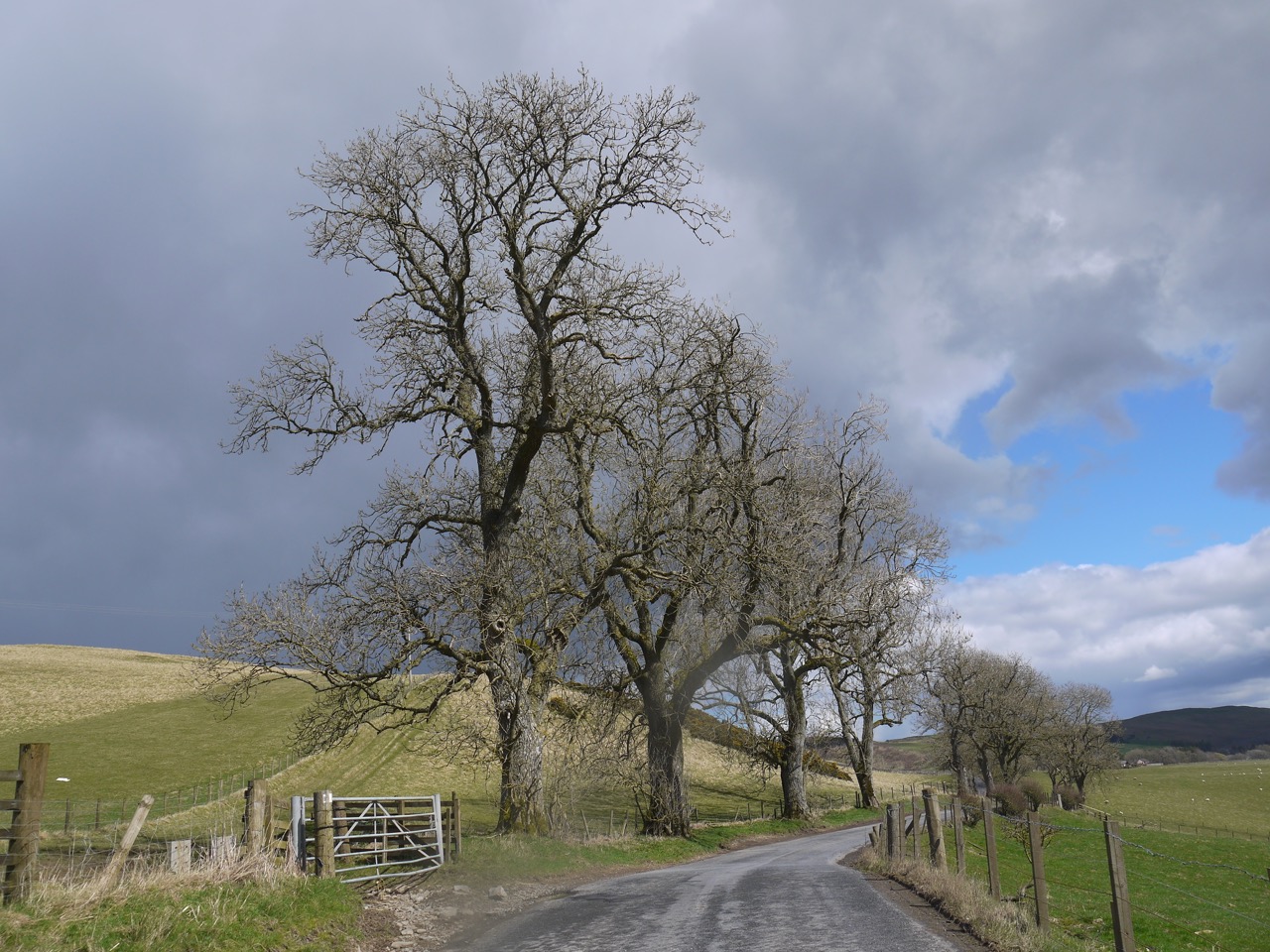
In the cold wind which, little did we know, was to become much colder, we headed along the Roberton road, with Borthwick Water to our left, watched by sheep that trotted off with their lambs in tow as we drew nearer, and the dogs criss-crossing their paths to tangle their leads. A milestone indicated 8 miles to Hawick but our route was to add another couple of miles to that number.
The lens cap replaced after the milestone was missing by the time we left the road at Muselee so we retraced our steps. Audrey’s eyes must be better than mine because she spotted the lost cap that I didn’t see on the way back to or from the milestone.
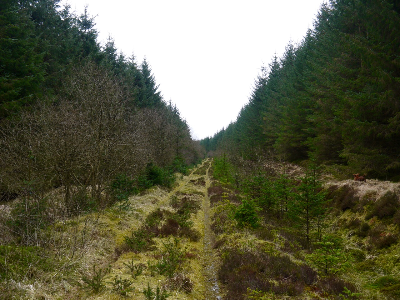
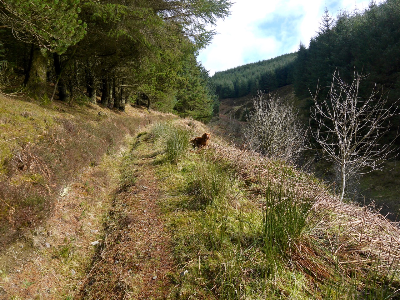
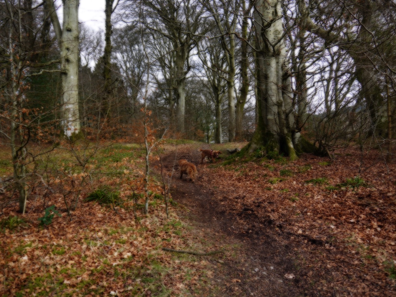
At Muselee the R&R leaves the road to climb onto the hill beside Muselee Burn. A recurring theme of this section was to be gates set across churned mud, and this was our first example. I suspect, had we not had dogs with us, we could have avoided the worst of the mud by climbing the gates, but dogs we had, so muddy we got.
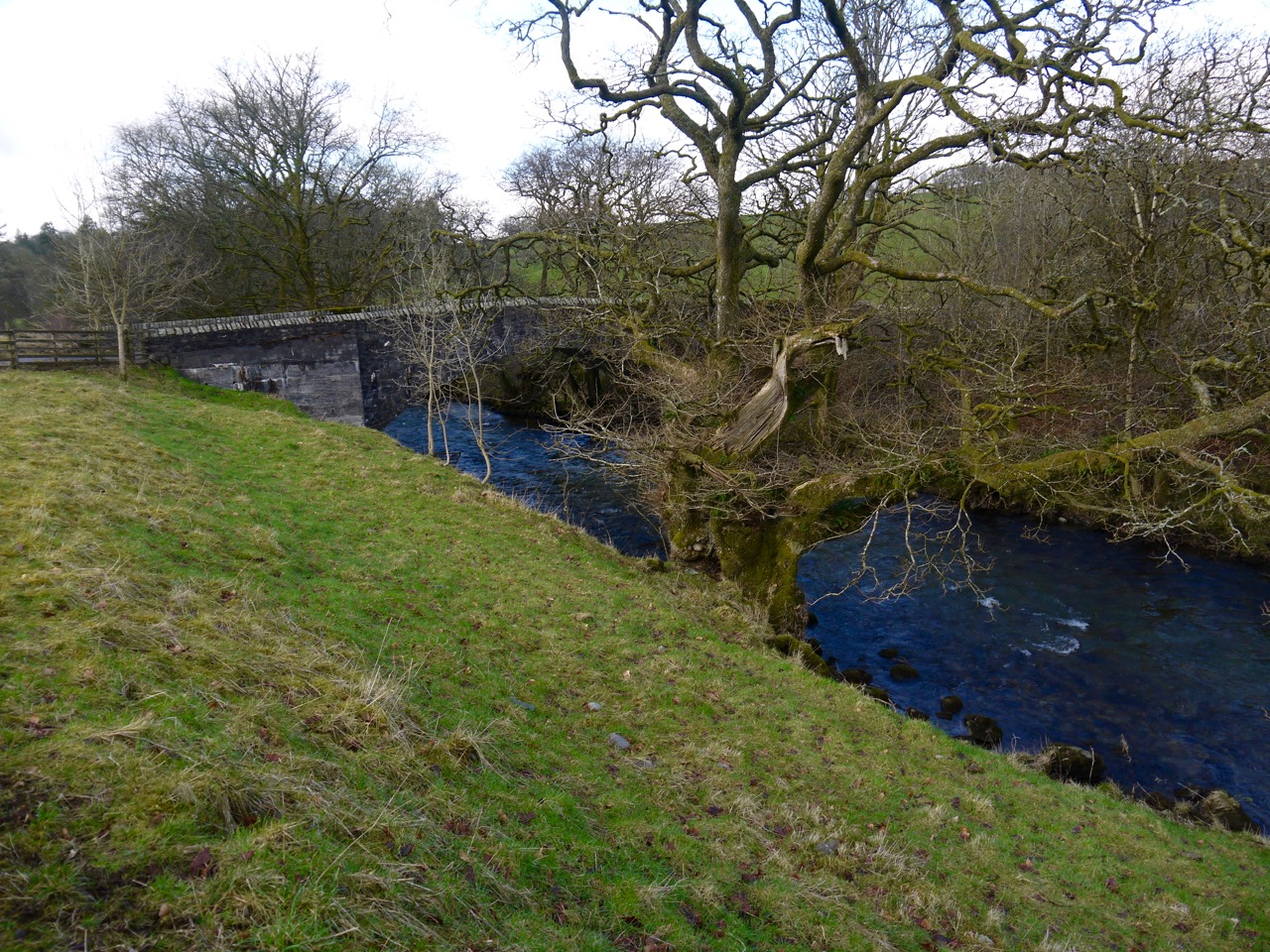
Looking back to Muselee Bridge
The initial climb was along a walled muddy track and we were faced with a flock of sheep being driven down toward us. We stood with the dogs on short leashes while they passed. The sheep-dog, however, was too interested, came along to have a sniff, and wasn’t for returning to the farmer, who had to get out of his vehicle to retrieve his dog.
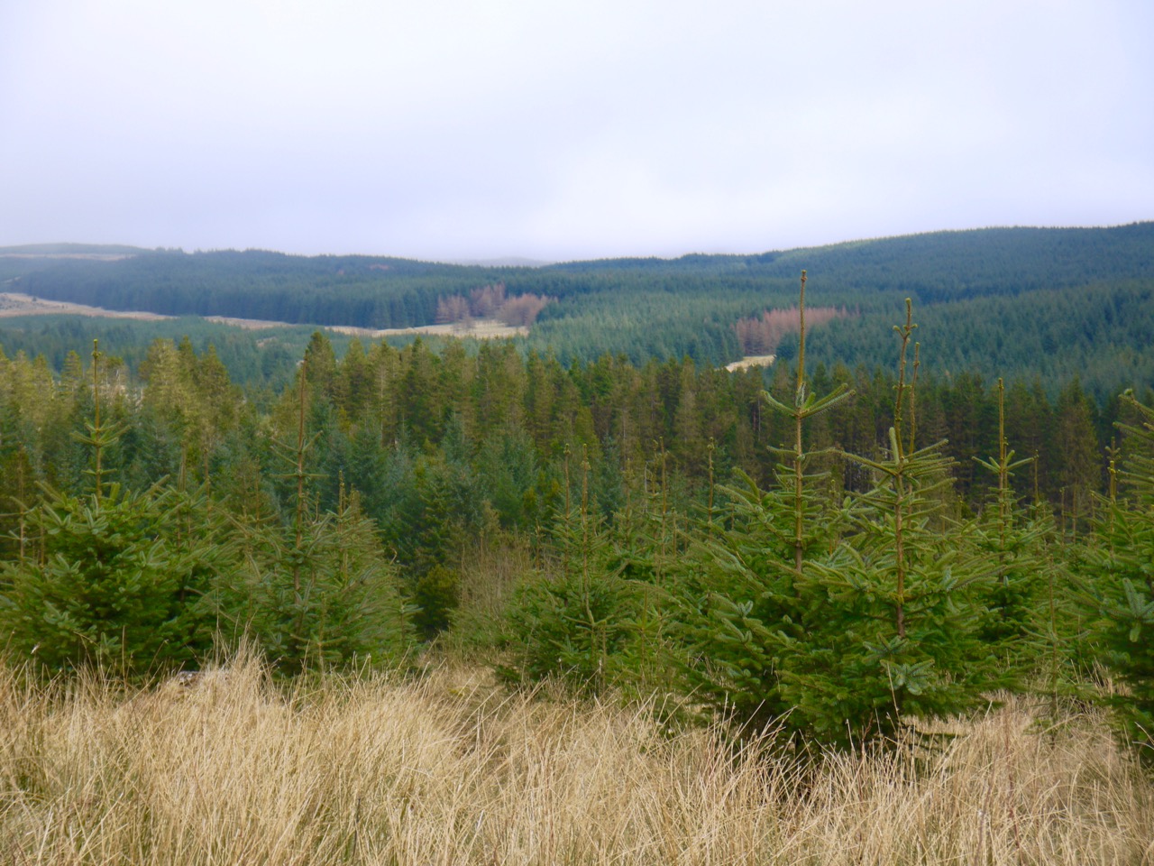
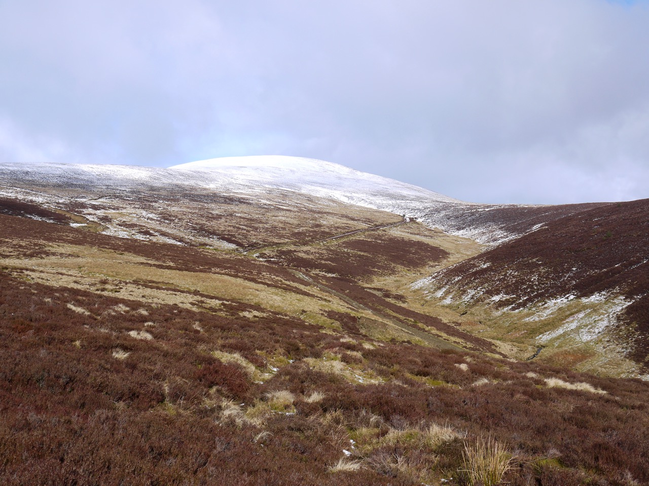
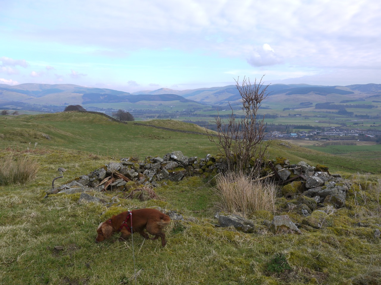
The climb up Muselee Hill, gentle as it was, heated me enough to improve the circulation to my hands but also overheated me enough to require the shedding of some layers. When Broadlea Loch came into view we knew that we would be turning left. So when we came upon a faint track we took it, and for once there wasn’t an R&R sign to guide us. A little further along the track seemed to fork and we chose the right (but incorrect) path which soon looked less like a path and more like the earthwork it actually was.
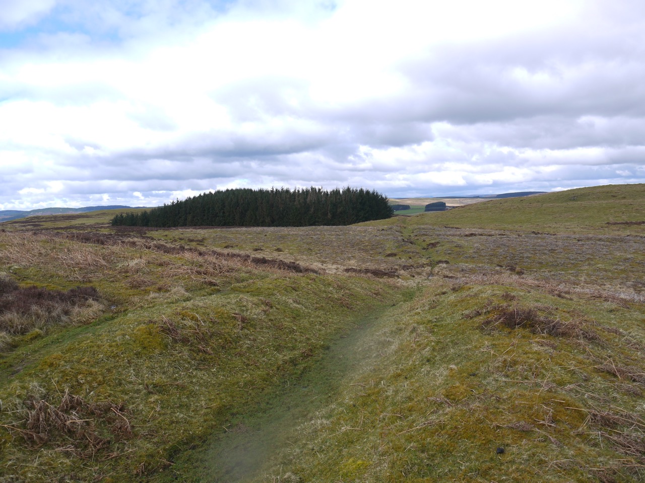
Ancient earthwork
This earthwork is 500m long, 3.5m wide and 0.6m deep, its age and purpose unknown. It is thought to be a prehistoric boundary marker of some kind since it is not substantial enough to be used for defensive purposes. From the vantage point of the earthwork we consulted to map and compass and then made our way back to the moorland track which we should have followed.
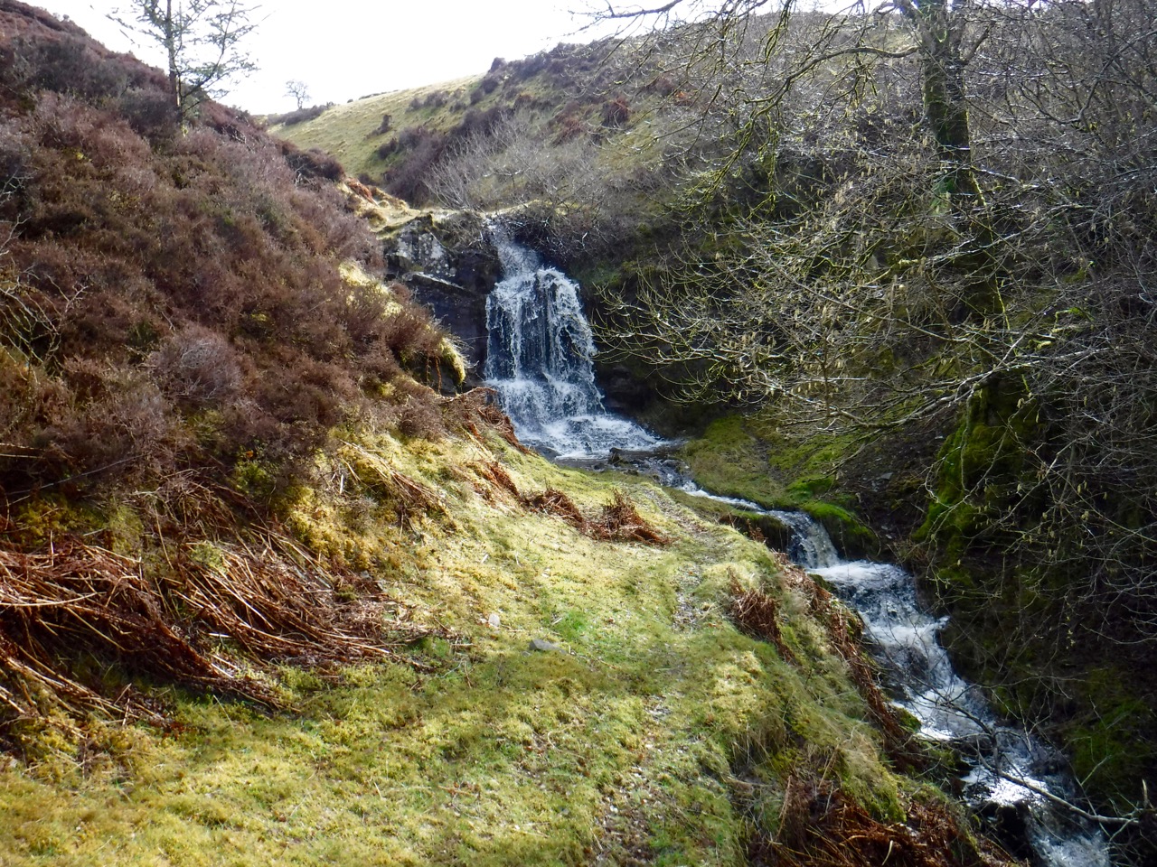
The squelchy moss of the track was temporarily replaced by a more substantial metalled path, presumably because the original had become too boggy. We were buzzed by a swan from a loch to our right (not marked on the OS map). Its wing beats were eerily audible, and its flight was presumably aimed at warning us off. It was nice to see it in flight.
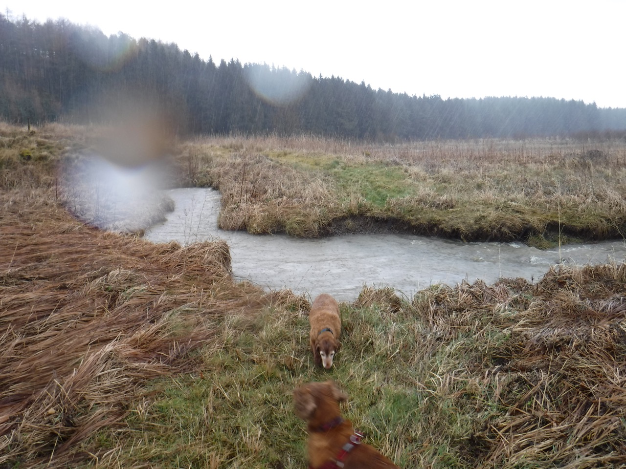
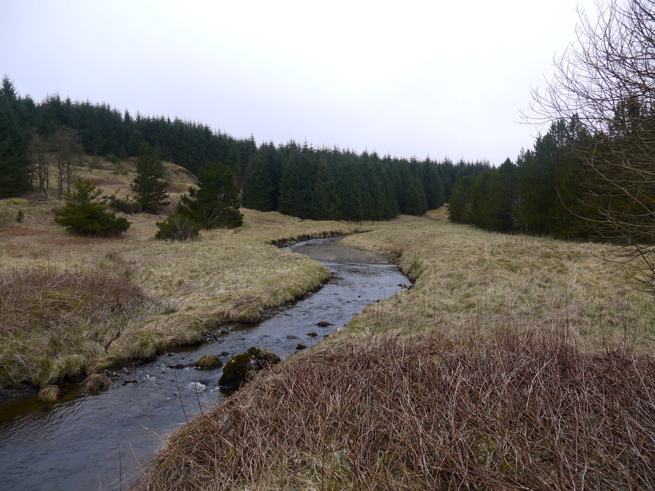
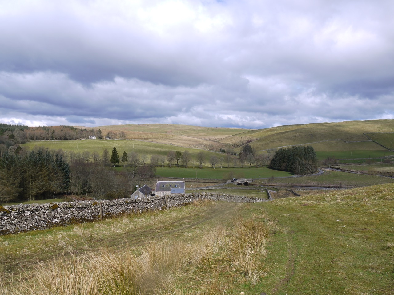
At the low point of the moorland we forded the Wood Burn, a helpfully situated rock allowing us to keep our feet dry, and then began a gentle climb. The metalled track petered out and we continued on what appeared to be the right route which took us to a fence line with Branxholme Wester Loch about 0.5km beyond it.
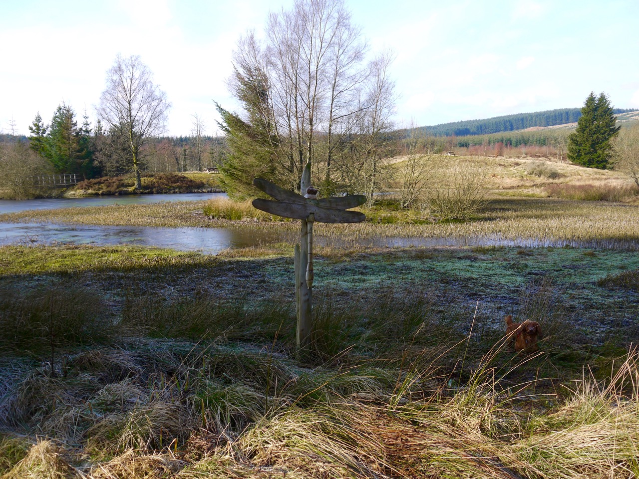
We followed the fence line over Birnie Knowe with its low cairn (more like a campfire than a cairn actually) and then down to the minor road. The R&R route apparently only stays with the fence for 100m or so, then forks left and joins the minor road about 100m further along from us. There was no visible track along there at least as far as we could see and there hadn’t been any R&R signs where we parted company from the route, though there was a sign on the minor road.
We were back in sunshine as we walked down this minor road, passing the entrance for the Chisholm Institute, and bemoaning the loss of elevation that would have to be repaid in effort later. I stopped briefly to photograph some daffodils only to have Eddie demonstrate his jumping prowess by leaping atop the wall, requiring some care in getting him off without getting tangled in the wire fence hanging below the wall.
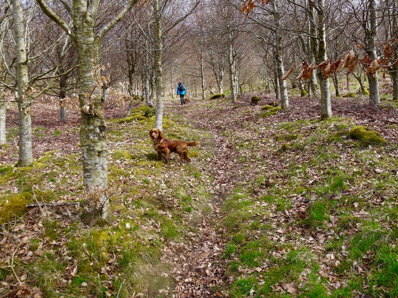
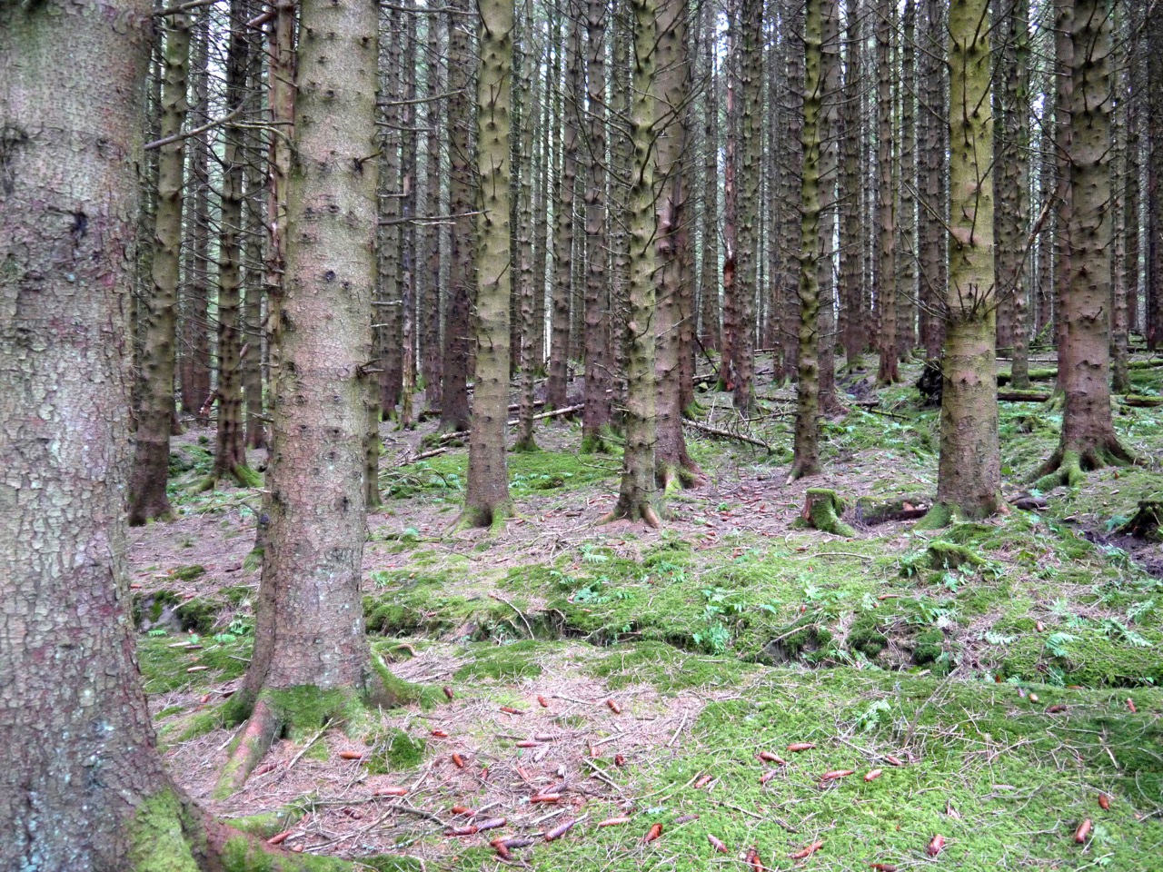
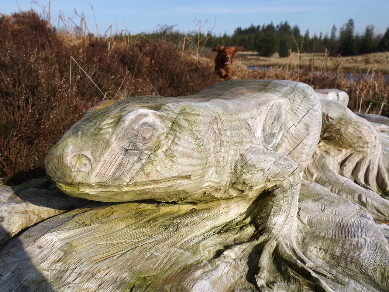
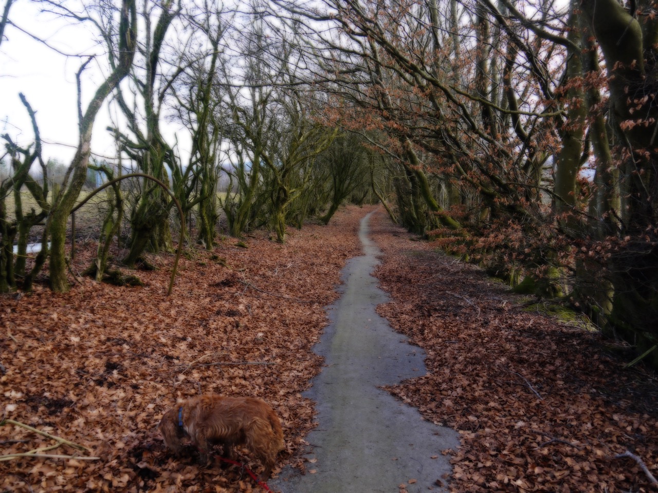
Chisholm beech wood
There is a gate and signpost where the R&R leaves the road to climb through a young beech wood. Having gained much of the lost height we emerged from the wood to join the Chisholm Institute’s driveway near a carved bench.
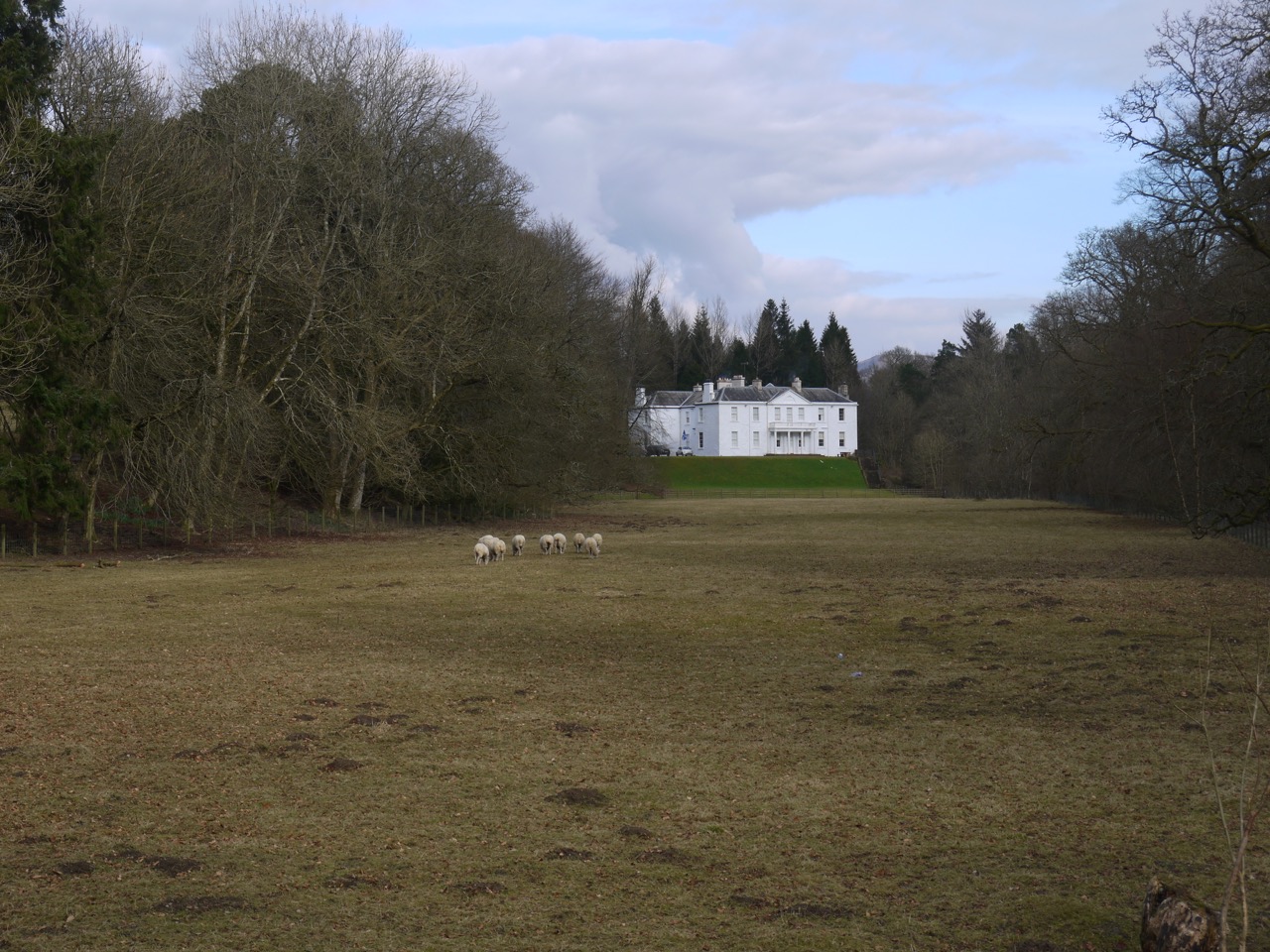
The driveway took us past the imposing buildings and continued along a minor road with fields to the left and woodland to the right. Near the big house I had noticed a carpet of blue flowers beneath the trees and thought at first these were bluebells, but the flowers seemed too small and it was a little early yet for bluebells (we have some not yet fully open at home). These flowers were something I hadn’t seen before, and took some effort to identify. They were glory-of-the-snow.
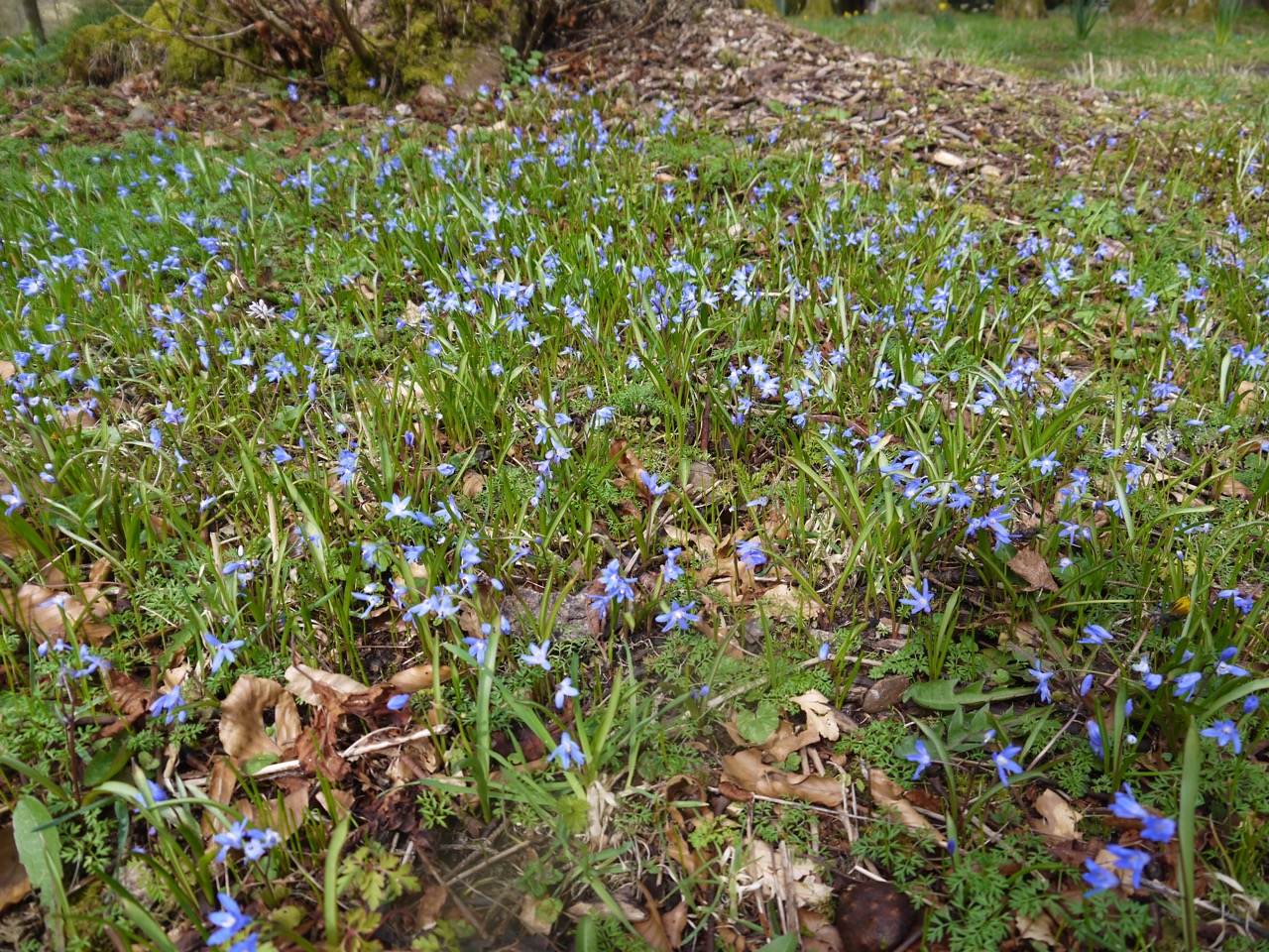
Glory-of-the-snow
A post office van (HK9) passed us as we crossed Churnton Burn. It can only have been going to Parkhill Farm and it passed us again as it escaped. At the farm it was unclear which way we should go but we then spotted an R&R plaque on one of the gates. This gate and several that followed it gave our boots a good muddying as we passed from one sheep and lamb filled field into another.
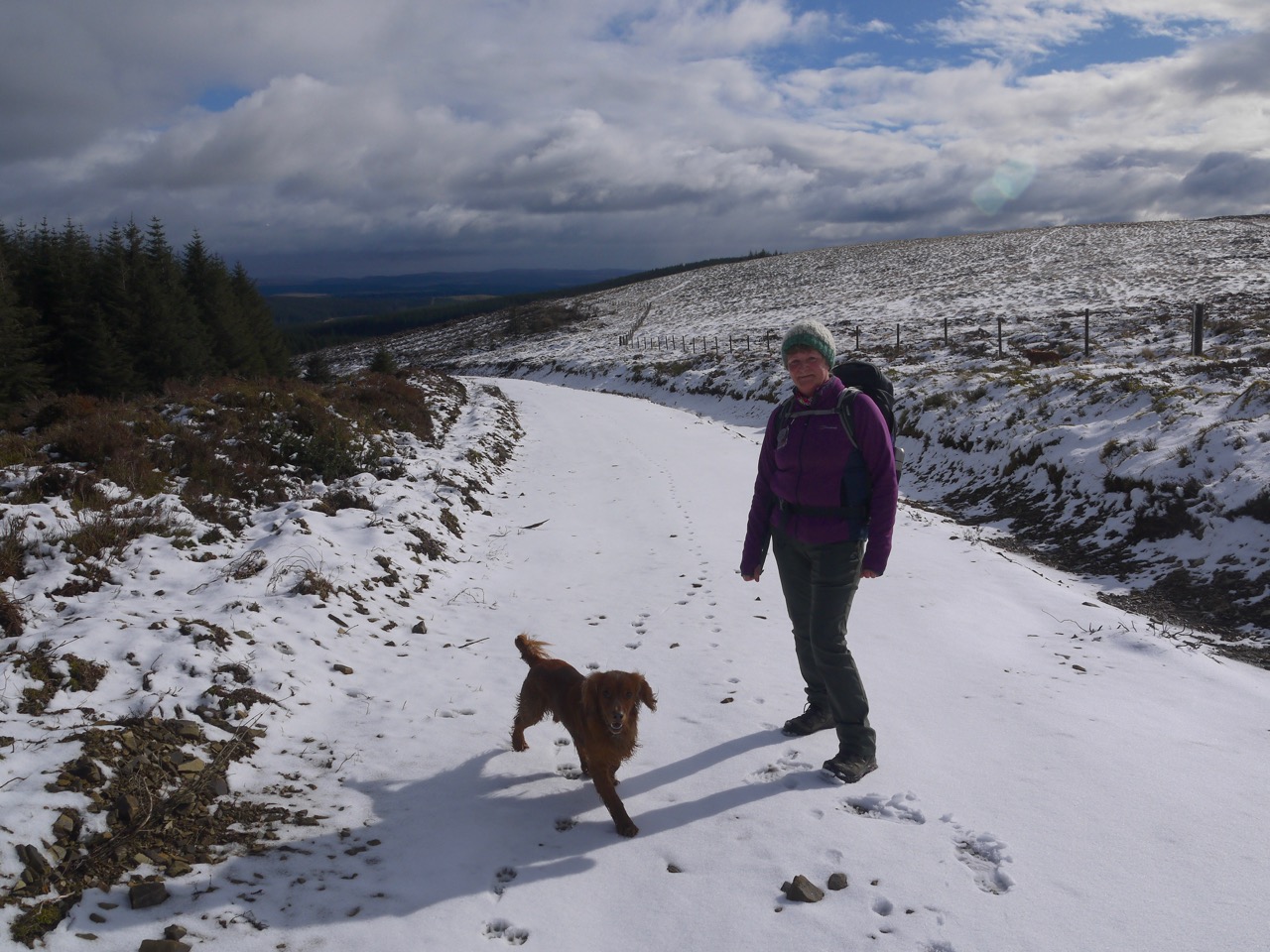
My plan had been to stop for a break above Roberton and read Ogilvy’s poem, “Road to Roberton” but the weather changed, after a few snow flakes the wind picked up, the temperature dropped and then we were pelted with hail. So rather than a pause for poetic outpourings I put my jacket and hat back on and walked along head down.
A definite, well “just discernible” would be more accurate, path wound around the descent to Borthwick Water, but we continued directly on, as does the R&R. The changeable weather changed back to sunshine as we approached the river and I developed a growing concern that there would not be a bridge.
At the river was an R&R sign pointing directly across it, and a gate on the far side. A yellow arrow, presumably a riding route indicator, pointed right. I looked that way and there was no bridge to be seen. The river was calm enough and not too deep to wade but it would be five or six miles further walking soaked from boot to thigh. Perhaps we could cross barefoot and keep our boots dry? I remembered having to carry Eddie for a previous water crossing and wondered how he would manage this time. Oh dear.
At the river, having pondered while looking right, I looked left. A rusty contraption, which I took to be a pipeline, crossed the river. Could we cross on that? My eyes ran along the ground towards it and it looked to have been walked by others. I looked at the pipeline again and realised it was in fact a footbridge. Our dry river crossing was secured.
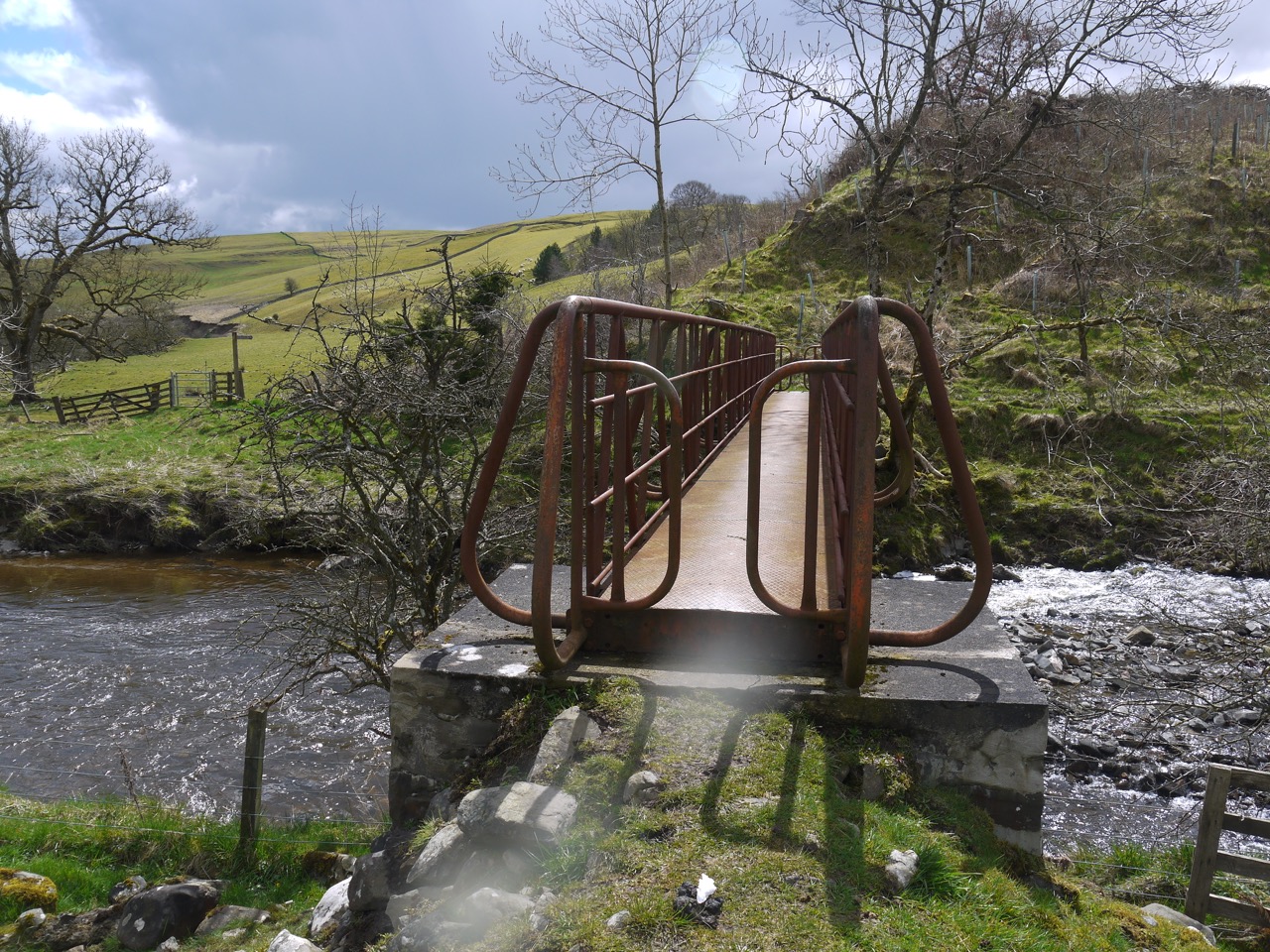
Footbridge over Borthwick Water
The bridge has narrow entrances each end, such that only the svelte may pass, but we proved svelte enough. I paused on the Roberton side of the bridge to take off my jacket and take some photos. And somehow managed to lose a lens cap yet again.
Across the boggy field and we had the Glen Burn to cross. Here I noticed my lens cap was missing again so we squelched back and found it. The burn ford was too deep and wide for a dry crossing, so we walked up towards the church, across a field dotted with the yellow stars of lesser celandine, looking for another way out of the field. Unfortunately we were walled in, so we headed back and found a narrower section of the stream with some stones to step on. The humans crossed dry and the dogs splashed through the water.
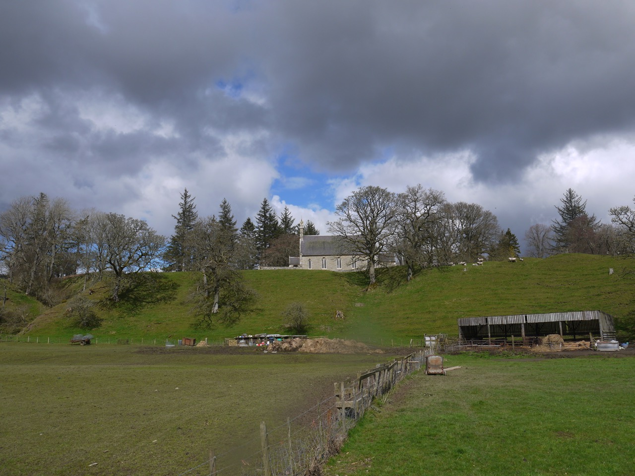
Roberto Kirk
Above the field we found one of the rare gates without mud and stepped through and onto the B711. A signpost here included such places as Blawearie so I felt obliged to get the poem out and read it, the atmosphere slightly spoiled by the whining of dogs unhappy because we had stopped walking.
The hill road to Roberton: Ale Water at our feet,
And grey hills and blue hills that melt away and meet,
With cotton-flowers that wave to us and lone whaups that call,
And over all the Border mist – the soft mist over all.
When Scotland married England long, long ago,
The winds spun a wedding-veil of moonlight and snow,
A veil of filmy silver that sun and rain had kissed,
And she left it to the Border in a soft grey mist.
And now the dreary distance doth wear it like a bride,
Out beyond the Langhope Burn and over Essenside,
By Borthwick Wa’s and Redfordgreen and on to wild Buccleuch
And up the Ettrick Water, till it fades into the blue.
The winding road to Roberton is little marked of wheels,
And lonely past Blawearie runs the track to Borthwickshiels,
Whitslade is slumbering undisturbed and down in Harden Glen
The tall trees murmur in their dreams of Wat’s mosstrooping men.
A distant glint of silver, that is Ale’s last goodbye,
Then Greatmoor and Windburgh against a purple sky,
The long line of the Carter, Teviotdale flung wide,
And a slight stir in the heather – a wind from the English side.
The hill road to Roberton’s a steep road to climb,
But where your foot has crushed it you can smell the scented thyme,
And if your heart’s a Border heart, look down to Harden Glen,
And hear the blue hills ringing with the restless hoofs again.
― William H. Ogilvie
Mosstroopers are reivers and Wat who is referred to was the infamous reiver, Walter Scott of Harden. I have mentioned him before in the blog when writing about Dryhope Tower, which was where his wife Mary, the flower of Yarrow was from. She is said to have served him a pair of spurs on a plate for his supper as a way of telling him he should get out and steal some more cows if he wanted to eat. More on Auld Watt here.
The word “mosstrooper” had been playing on my mind since reading that poem, and at last I have realised why. When I was a whippersnapper, sitting at home, at a bit of a loose end, I received a phone call from an ex-girlfriend’s older sister, a budding matchmaker, to suggest I go out for a drink that evening. She recommended a particular pub. You guessed it, The Moss Trooper. My mind can now stop its search for mosstrooper associations.
B711
The B711 proved to be quite a busy road and we found ourselves gathering up the dogs and stepping off the road many times as vehicles passed. It must be a local tradition to maintain maximum speed when driving past a a group of people with dogs cowering by the roadside. A post office van passed us but it was not the one from Parkhill (HK4 this time).
I had read that a 1m, 6th or 7th century symbol stone stood near the buildings at Borthwickmains, so we took special care to look for it. We were able to spot it through the hedge but it looked to be in a private garden so we couldn’t inspect it any more closely.
As we passed the road to Harden Glen I recalled some of the stories about Wat of Harden, and mused that the R&R could do with some information boards about characters such as this. Though I also wonder how much time must pass for a murderous thieving bastard to morph into a “colourful” historical character and whether we should be glorifying such people’s antics.
The R&R leaves the B711 at a cottage a little beyond Highchesters. After a short stretch of track, the route entered fields and we endured a few more gates through mud. We could see the track we were to join, but a recently ploughed field stood between us and it, as well as a dry-stone dyke topped with an electric wire.
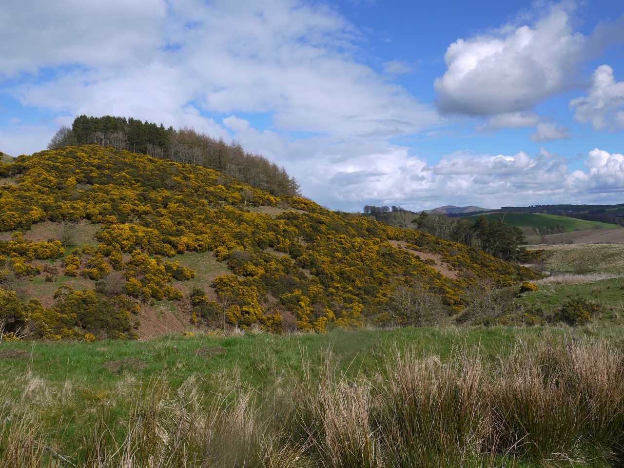
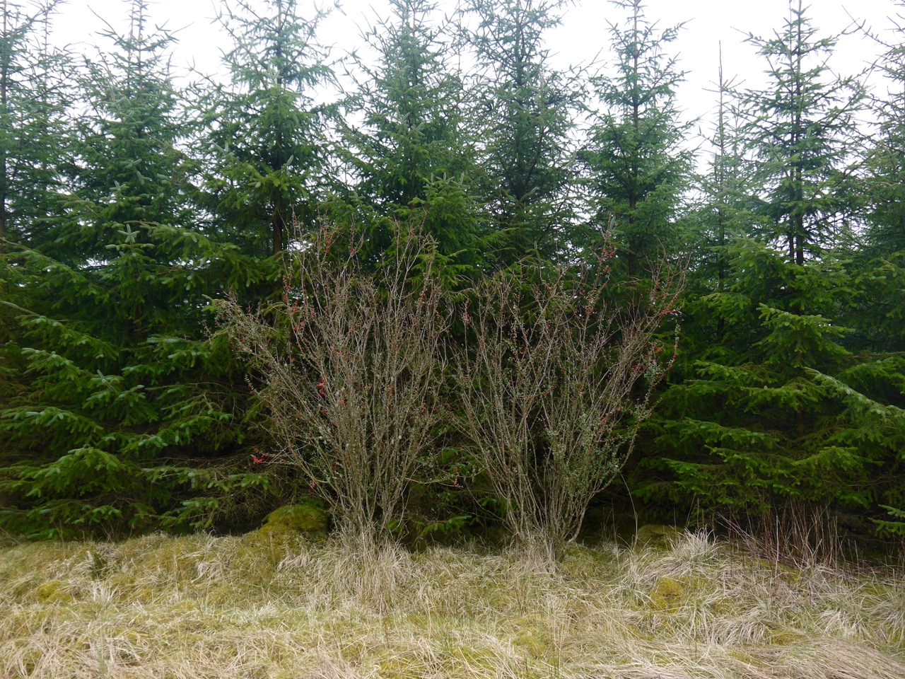
Gorse covered Wiltonburn hill
Things were not as bad as they seemed though. A gate (more mud) took us to a strip of unploughed lad crossing the ploughed field. Here we could use a stile (minimal mud) or gate (much mud), but the dogs don’t do stiles particularly well so mud it was. This though took us to a firm farm track which we followed to Wiltonburn.
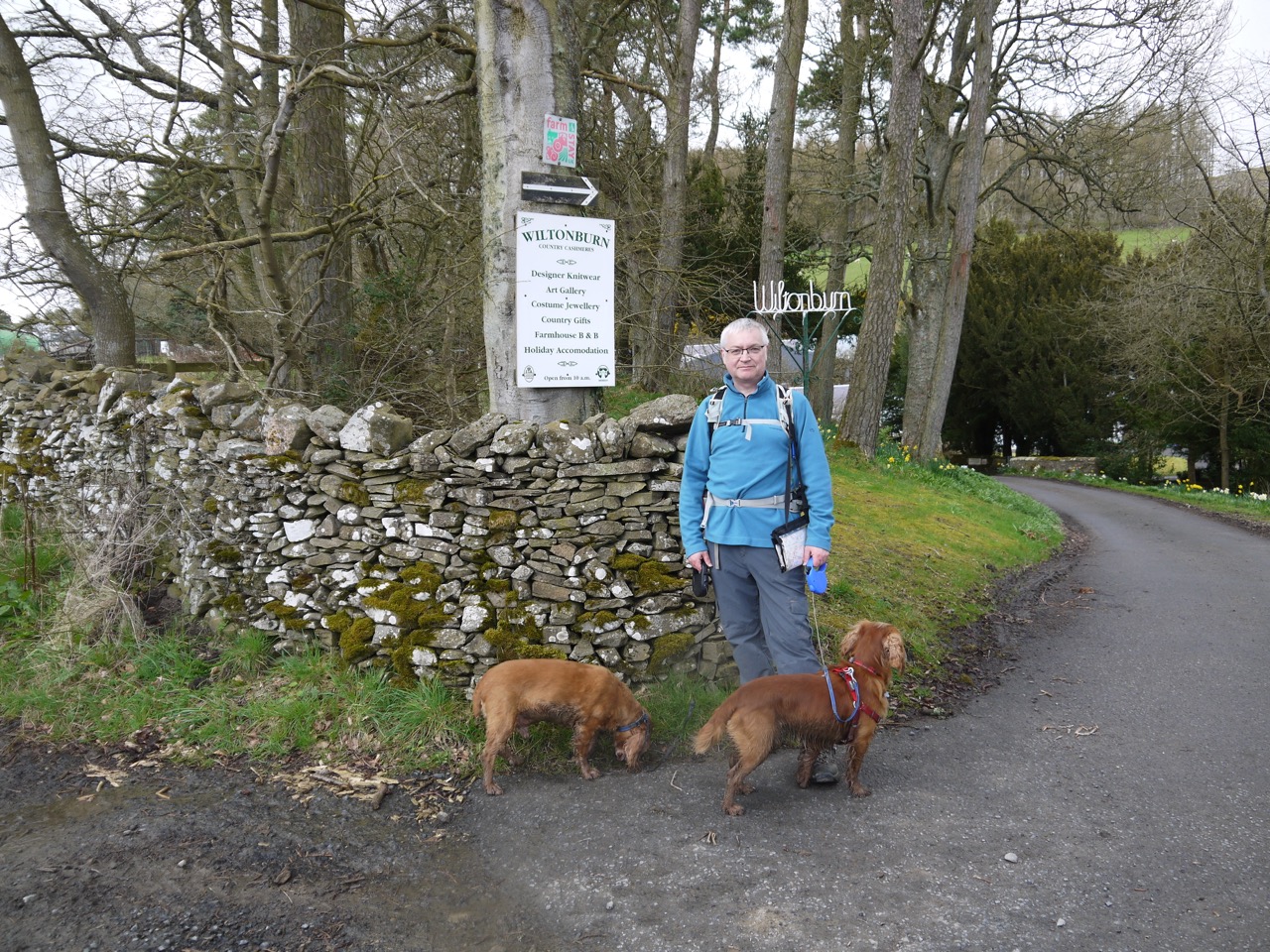
This was were I thought the R&R finished, so we had our “end of walk” photoshoot, by the Wiltonburn signs. I also considered it possible that the R&R ended where the Borders Drove road route branched off 300m further along the track so photos there might be needed. As we walked on the weather changed back to bitingly cold wind with hail, which somewhat reduced the photo possibilities.
Not the end
At the junction, we found a R&R sign pointing on further, so it would appear that the R&R has been extended. We followed the signs which took us along beside the River Teviot. This had us walking away from the car parked which we had parked near Martin’s Bridge, without any certainty as to how far we would need to walk. Perhaps on a nice day we would have pressed on.
Hail
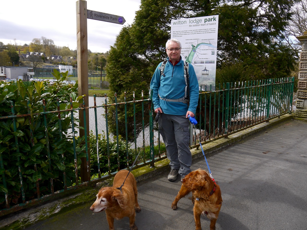
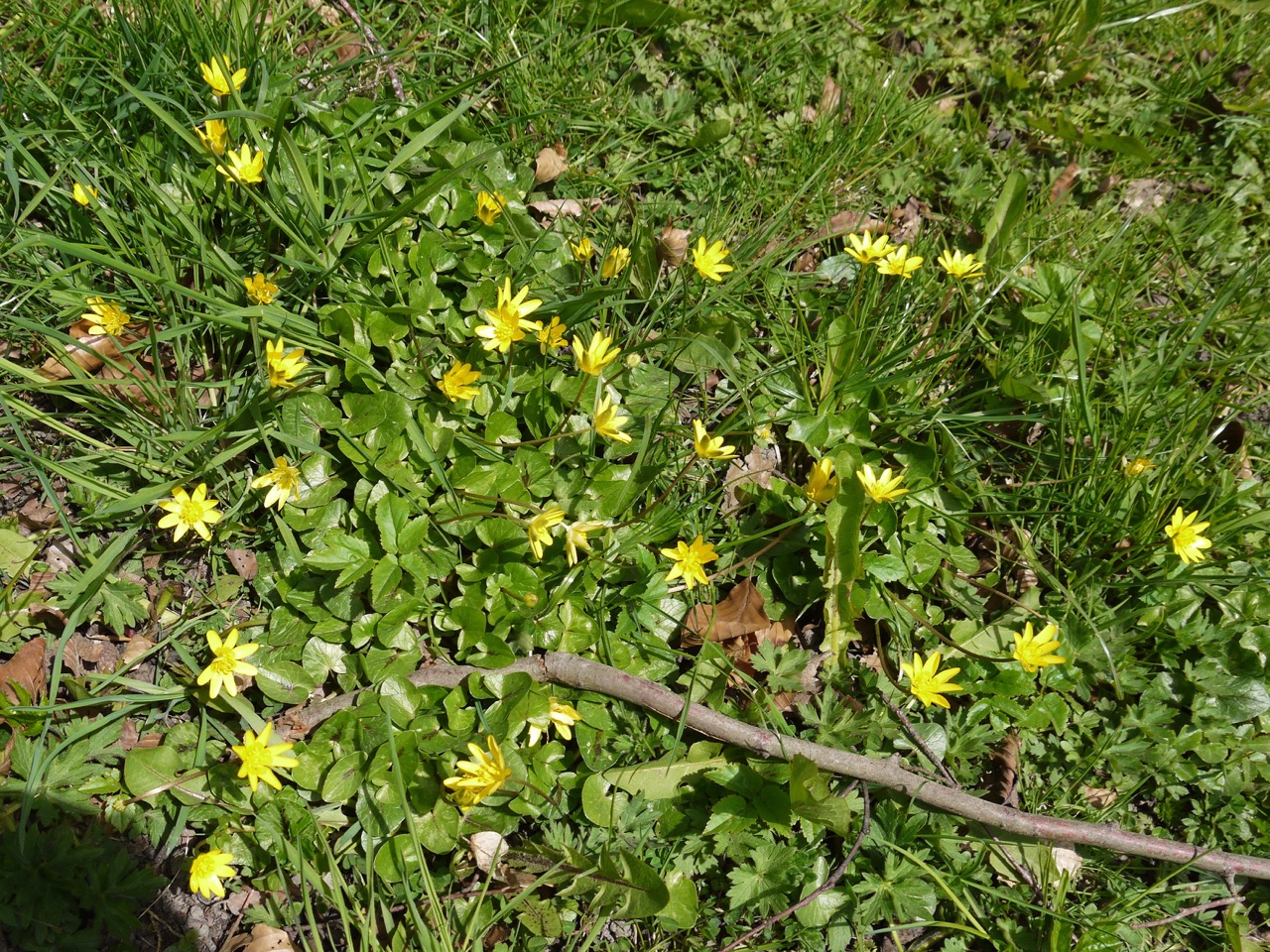
So it was that our “last section” of the Romans and Reivers Way didn’t take us to its end. At a riverside bench dedicated to Jim and Sheila Dunlop we turned about and headed back towards the car. The final walk along the minor road beside the river gave us some additional flowers to see. There were clumps of opened lesser celandine, carpets of wild garlic (not yet in flower) below the trees, numerous butterbur (which was new for me), as well as dandelion, daisy, wood anemone, daffodils and primrose. If Snowdrops were the flower of the start of this route, lesser celandine were the theme at the end.
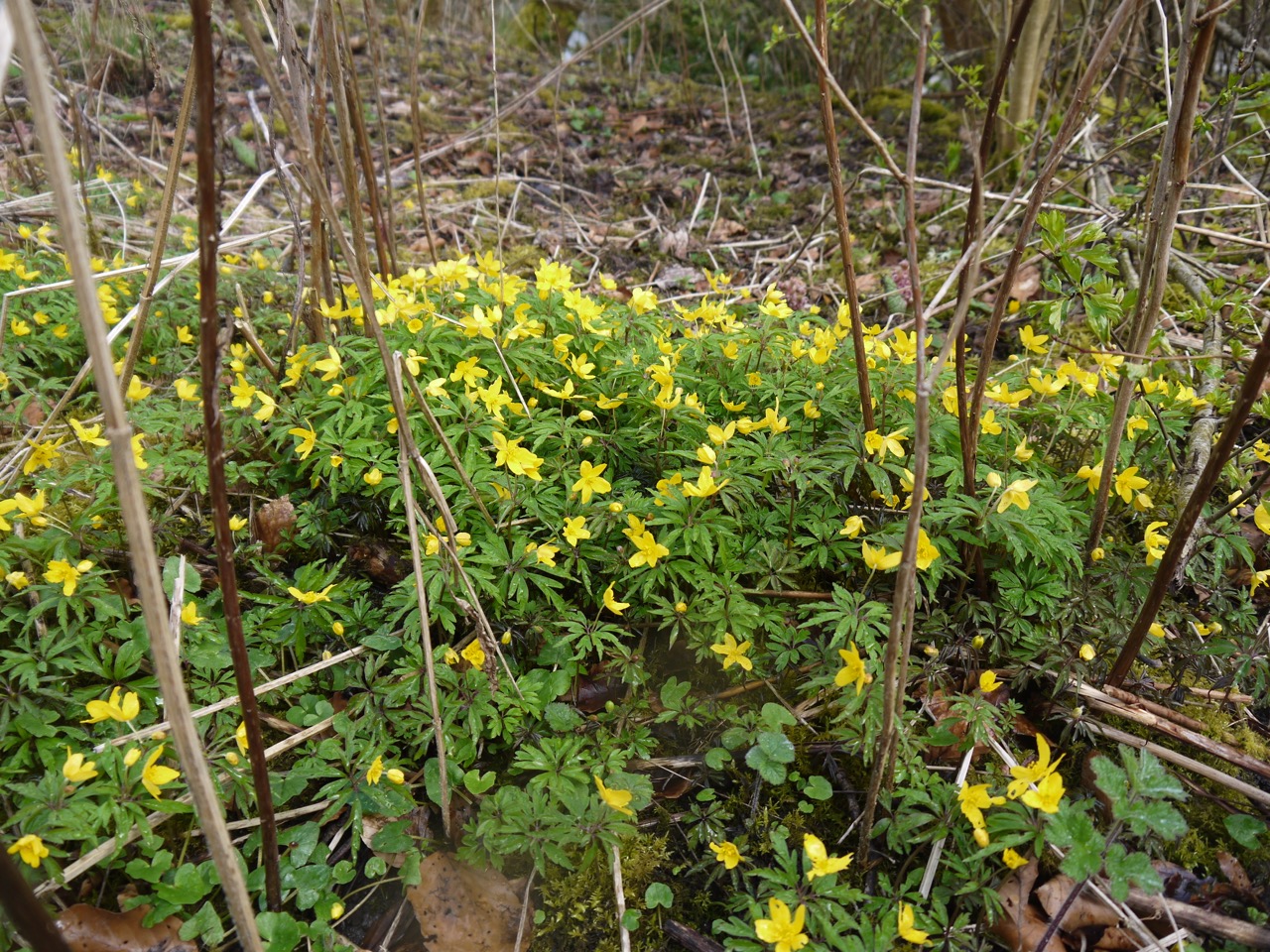
Lesser Celandine
I would like to think that that is the R&R completed, and that is certainly how Audrey sees it, but it looks as though number 13 of Paths around Hawick, “The Teviot, Wilton Lodge Park, and Violet Woods”, has been annexed to the R&R and I know that sooner or later I will have to walk those last few miles, whatever Hemingway may say.

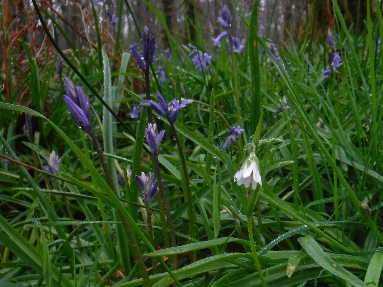
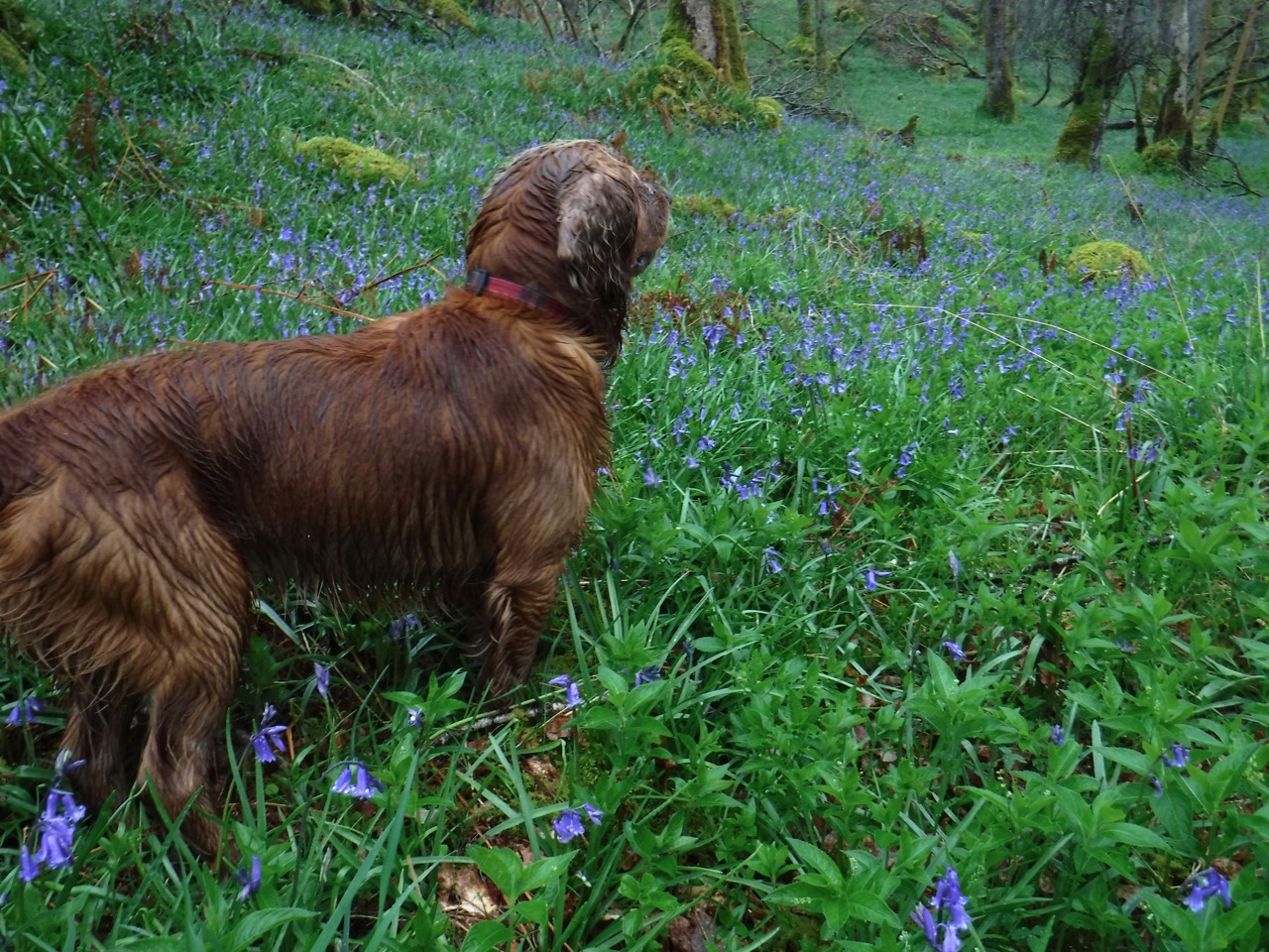 The one drawback is that the bluebells seem to squeezed all the other wildflowers out. That said their was wood sorrel, growing mainly from moss covered street stumps, shrinking violets easily overlooked, stitchworts, anemones and opposite leaved golden saxifrage.
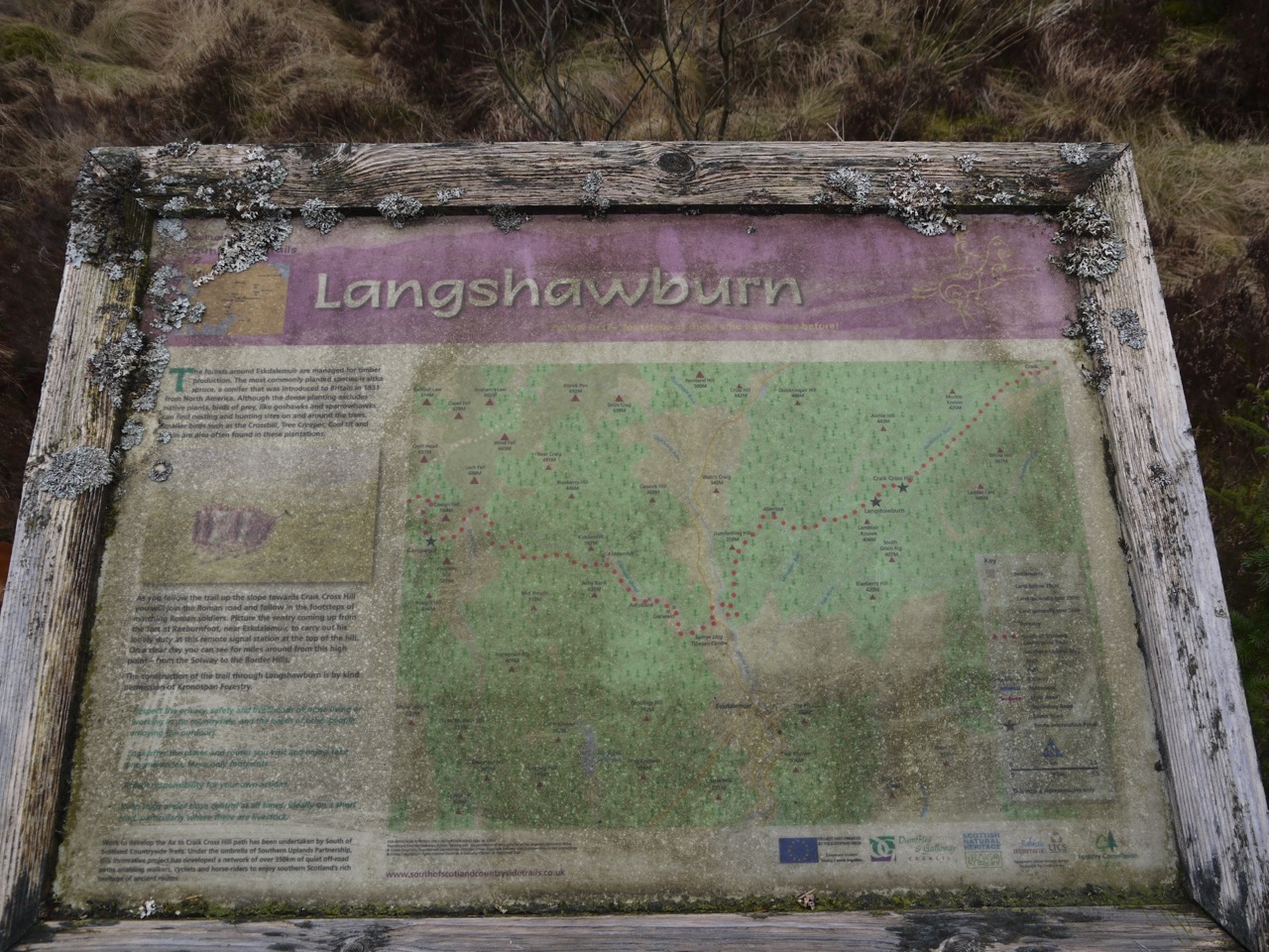
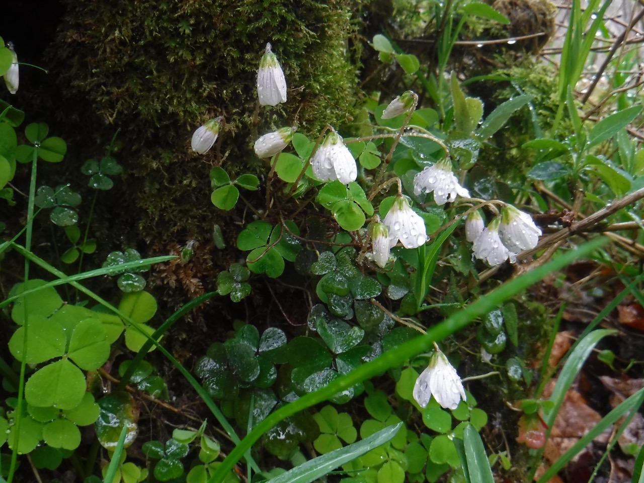 I made the school-boy error of not looking at the information board and its map so we walked back along a minor road. The footpath through the forest has several junctions each marked with a numbered post. We passed all from one to six. Perhaps there is a seventh?