Wanlockhead-Black Hill-Green Hill-Stood Hill-Willowgrain-Cogshead-Glengaber Hill
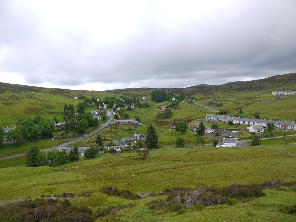
Wanlockhead sits high in the Lowther Hills. It is the highest village in Britain and has a pub that claims to be the highest in Scotland. The village was originally called Winlocke from the gaelic, Cuingealach, meaning a narrow place. Lead, Zinc and Gold have been mined here.
This walk starts from the Visitor centre at Wanlockhead. I headed across the road and up a faint track onto Black Hill. This soon joined a more substantial but eroded path. A great many rabbits were running around but didn’t seem to bolt until I was nearly upon them. There were some wooden boxes built into the hill and I spent a while wondering what their purpose might be. The penny didn’t drop until I had frightened off a few grouse – grouse butts (as marked on the OS map).
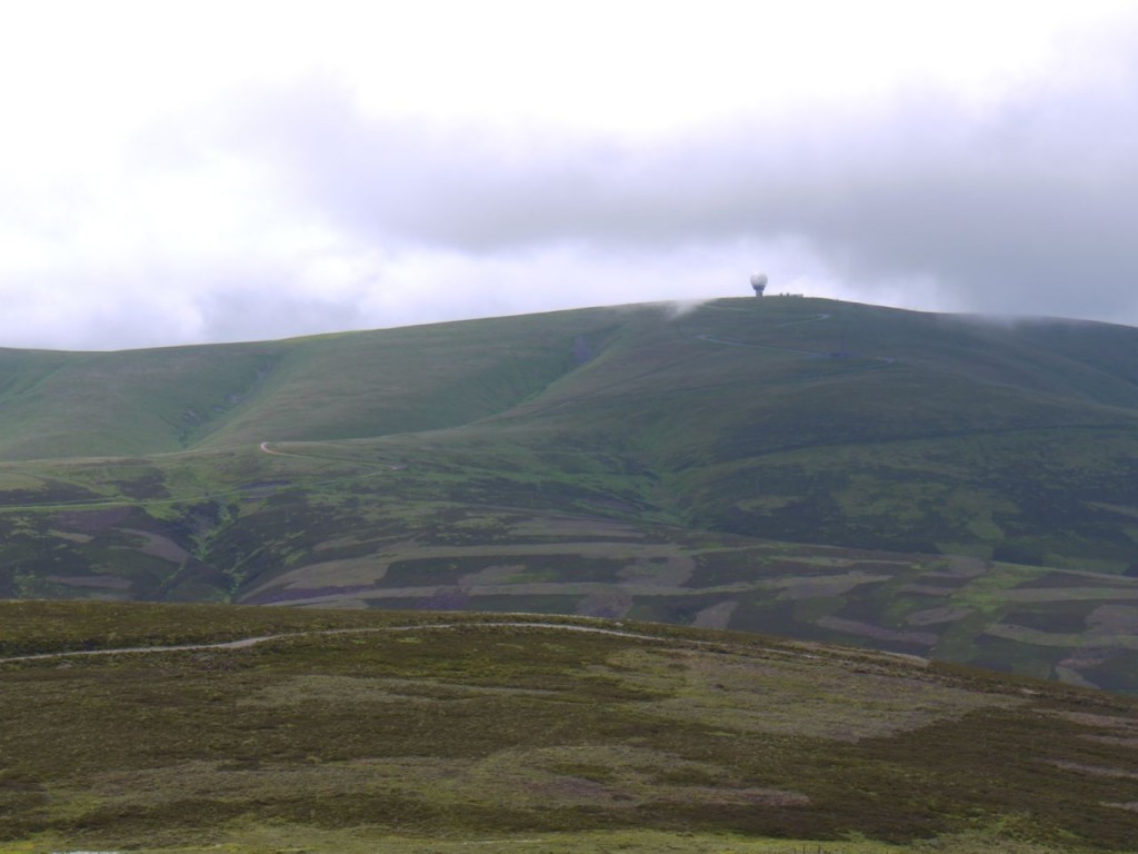
The track weaves around Black Hill and over to White Dod and Wether Hill, so I had to leave it to reach the top of Black Hill. The slopes of the hill were grass-covered which is a pleasant change from tussocks. The Lowther hills across the Mennock valley were initially topped with cloud but I managed to get one picture when the radar station briefly appeared.
From Black Hill I headed over Green Hill to Stood Hill. This was still mostly grass, and a very faint track suggested that this is regularly walked route. This was still grass, fortunately tussock-free, but once I began to descend between Stood Hill and Willowgrain Hill the path was often waterlogged. Indeed there was water flowing down the track just like a stream.
Willowgrain Hill was a pretty steep climb, and several faint tracks leave the direct climb, presumably where others, either human or animal, have decided to reduce their rate of climb, including me eventually. This hill’s grass was replaced by increasing amounts of sphagnum moss, which was well and truly waterlogged given the recent heavy rainfall. There were tussocks here too, but my demeanour must have kept them off the path.
From Willowgrain Hill I carried on to an unnamed hill, the last hill of the these hills. From here the flat expanse of Nithsdale and a town, presumably Kirkconnel were spread before me. On this hill I learned something about myself. My internal radar/GPS told me that the correct direction for the SUW was to continue walking in the same direction in which I had arrived. Luckily I got out the map and compass and found I needed to turn about 90 degrees right.
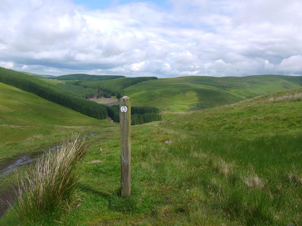
As I approached the Southern Upland Way (SUW) the sun decided to shine, warming my body and soul. The SUW was a more defined path, albeit a little muddy in places. I walked down to Cogshead, where the trees were filled with birdsong. It was only when I heard this that I realised how quiet the hills had been.
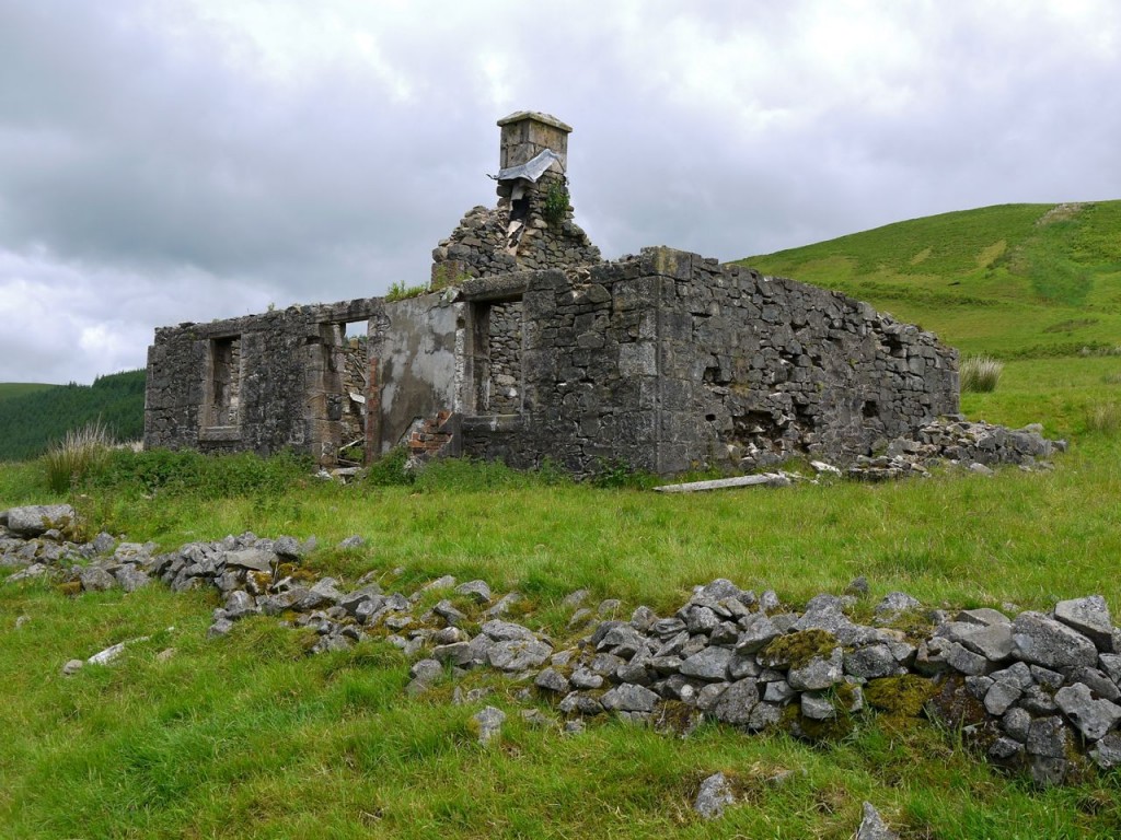
There is a ruined cottage at Cogshead, The inside is filled with nettles and wood that I presume was once a roof. There are some walls nearby though where I could sit for my lunch. There had been nowhere to sit on the walk so far and, as I would later find, nowhere on the hills to come. And the grass was wet.
I had a New York Deli Pie for lunch, chosen when out shopping with Mrs Drow n Smirr. An interesting collection of tastes. I had however somewhat overestimated my appetite, or perhaps underestimated the size of the slice I’d purchased. Next time I’ll take half as much.
The D&G hills are good for solitude. I rarely meet another walker when in the hills. A mountain biker came past while I was having my lunch, the only other person I saw on the hills.
From Cogshead there are two SUW routes to Wanlockhead, I took the shorter route that crosses the col between Glengaber Hill and Highmill Knowe, though I took a brief detour to the top of Glengaber Hill.
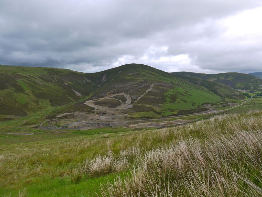
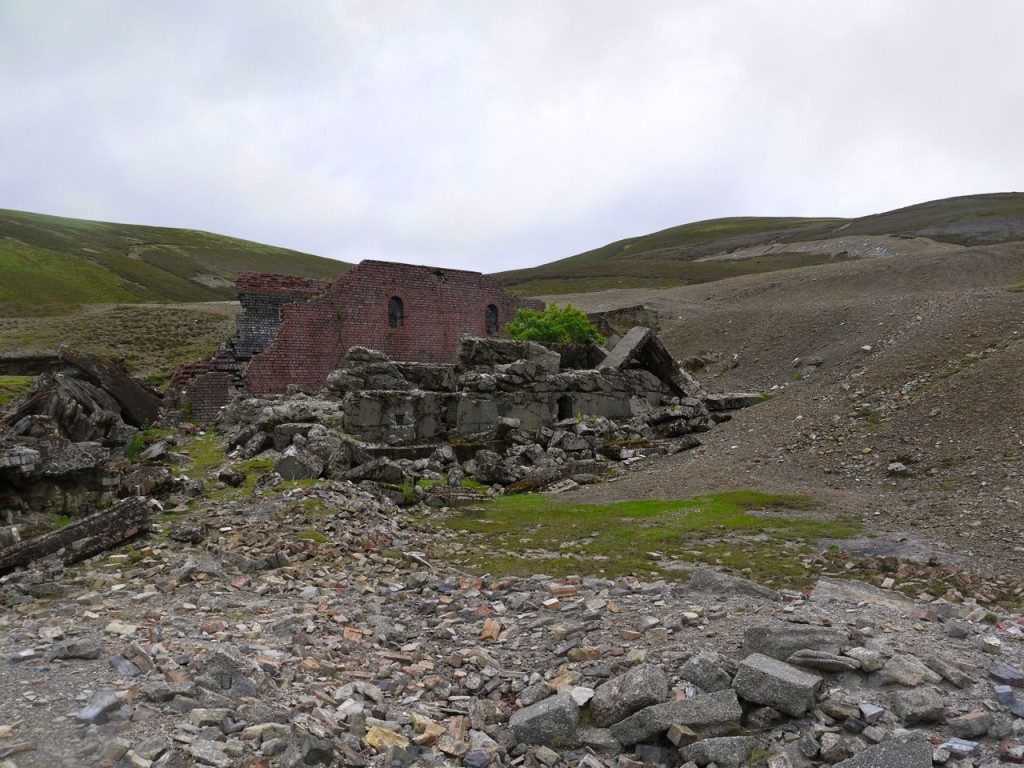
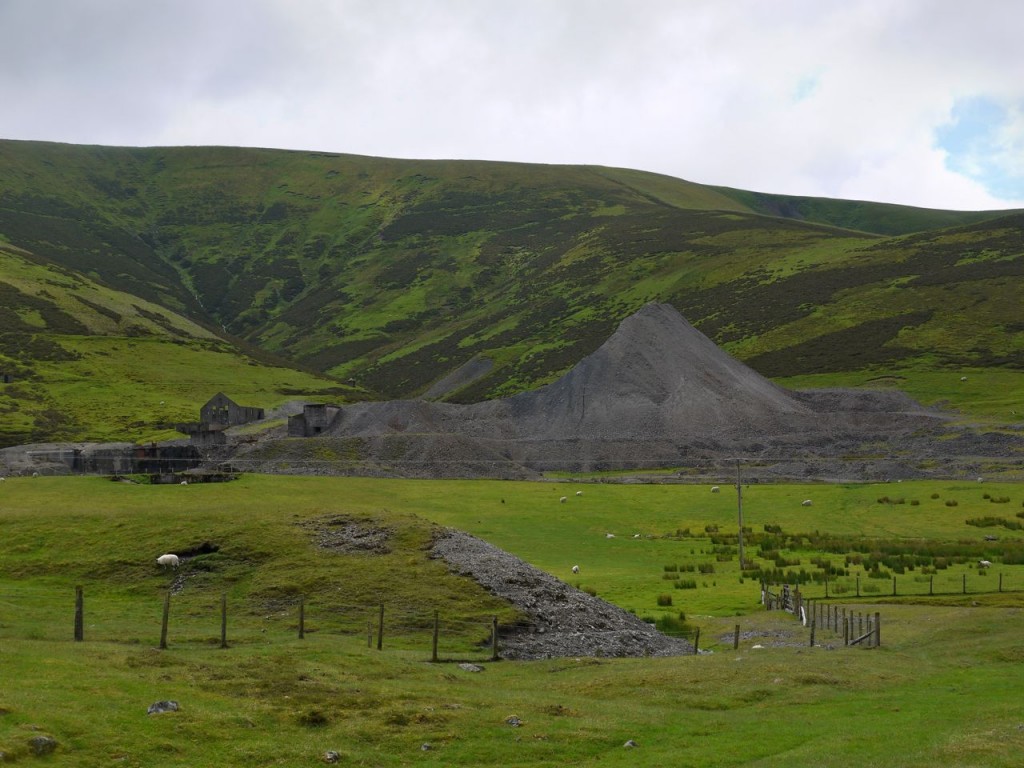
Once across Wanlock Water, the walk back to Wanlockhead was among the ruins of the lead mines. I believe the last mines closed in the 1950s but nature still has a great deal of work to do in re-claiming this land.
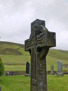
There is a small collection of houses and a cemetery at Meadowfoot about half a mile from Wanlockhead. Though the cemetery has gates, which were closed, there were sheep and lambs grazing amongst the memorials.
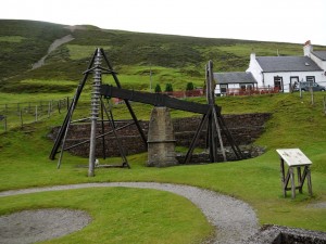
Unfortunately the rain which had been threatening all day, arrived in Wanlockhead as I did, so once I’d had a look at the Beam Engine, I didn’t spend much time exploring the village.

