
7.55 miles 4h 33m ascent 352m
It’s been a while since the last post. So long indeed that I have published the previous one unfinished. We didn’t get into a walking project this summer due to a combination of illness, holidays, heatwaves and, if I’m honest, a bit of laziness. We have been walking, but mostly the old haunts locally.
Well. I was browsing the OS routes section and this particular walk caught my eye. The description sounded just what we needed to ease back into it.
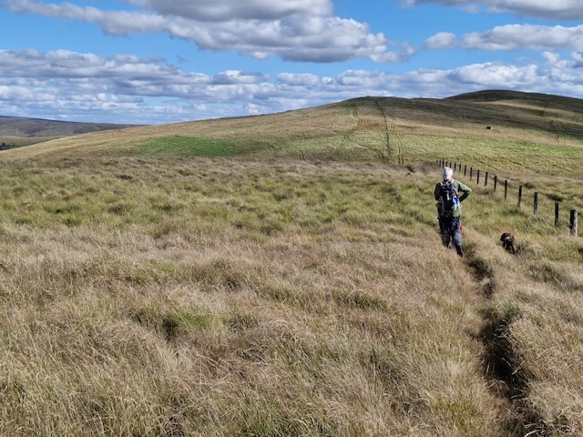
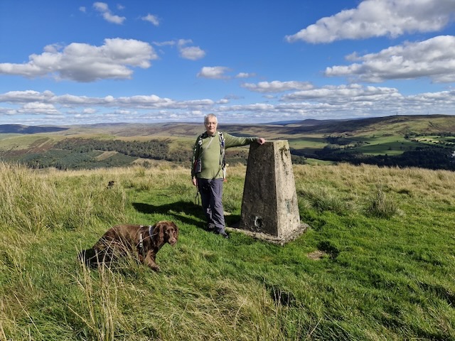
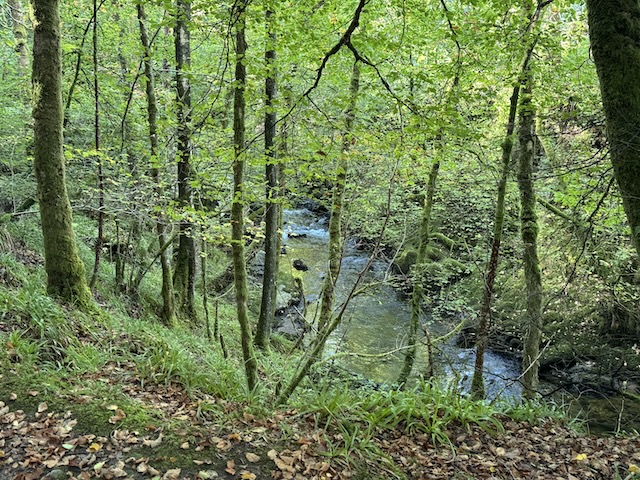
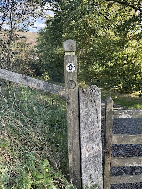
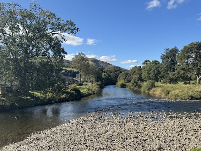
This is probably hill‑walking at its easiest: low, grassy tops reached with a minimum of effort. You’d be forgiven for thinking, therefore, that such walking might be dull. But, although these rounded hills aren’t the most exciting tops, they are located amid gorgeous scenery with mesmerising views. The route starts from Langholm, quickly climbing to a path known as Gaskell’s Walk. Leaving the town far behind, this enters the peaceful, wooded gorge through which Wauchope Water gently tumbles. Later reaching the hills, Calfield Rig (319m), Black Knowe (326m) and Mid Hill (327m) are all climbed. Paths are few (and often squidgy) on the high ground, but the views make up for any difficulties, particularly on the final ridge with Lakeland’s fells visible on the far side of the Solway Firth. This is one of 14 routes established several years ago by the Langholm Walks Group, and, although most of the waymarker posts have now disappeared, a few still provide the occasional guiding hand. By Vivienne Crow
I can’t argue with most of what was written. I might take issue with it being the easiest hill-walking but perhaps the author of that description usually does more challenging hills. We saw plenty of waymarkers with a number 9 and they might have been helpful if we had known we were following that route.
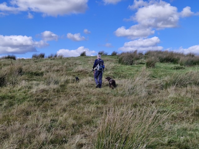
One important learning point was that the OS Map route was not particularly exact and attempting to follow it did lead us astray until I realised it was a drawn route rather than an actual GPS recorded route.
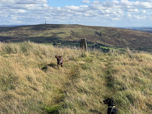
The stroll up Caulfield Rig took me back to my Donald bagging days. No obvious track, boggy ground hidden by tussocks and squidgy sphagnum moss.
When we stopped for lunch, Audrey sat on a stile and I crouched down. I reached out to tickle the dachshund’s ear, steadying myself on the fence beside me. Mabel let out a yelp as if she had been trodden on and I felt a jolt in my fingers. You guessed it. An electric fence.
I found the descent into Langholm particularly trying. It wasn’t especially steep and the ground was fine but my back was really playing up. The dogs had to stay on their leads (there were sheep scattered here and there). I wondered if I was leaning back more than usual, tried adjusting my rucksack to no avail but the following day I was aching all over, including parts I wouldn’t expect to be made worse by walking (the finger that was broken a decade ago). So I am now blaming the symptoms on the flu jab I’d had the day before.
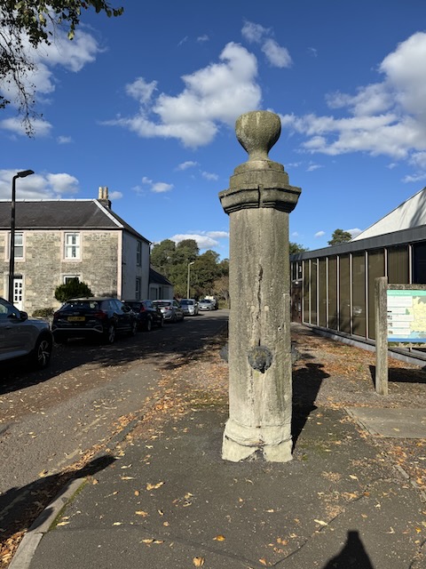
PS. Google has gone down the drain since using AI. When I try searching for information about the stone pillar with small lions’ heads it keeps bringing up the Telford ‘doorway’ and tells me I might be mistaken, asking if I meant Nelson’s column? FFS. The only reference I can find on-line is in geograph, asking what is might be.
I eventually found this on Historic Environment Scotland: Buccleuch Square, Pump: Late 18th century. Free-standing octagonal (ashlar) shaft. with 4 cast-iron lion-mask spouts; cornice and chalice-shaped.
Download file for GPS