
6.5 miles 4h 45min ascent 397m
Cold Fell 621m
Currack, A cairn i.e a pile of stones. See cairn.
Map Reader’s Companion for Upland England, Bryan Miller
Currick, A North Pennines name for a cairn i.e a pile of stones. Used to identify a place or boundary or mark a route. They were also used to mark the locations where watch was kept for Scottish raiders.
Currock, A large cairn i.e. a pile of stones. See cairn.
A brief stop in Brampton allowed us to buy a local OS map, then we headed for the Car Park at Clasketts. On the way a couple of wrong turns gave me a chance to stretch my arms and shoulders by executing three point turns. The sun was shining and what clouds there were didn’t look to have the wherewithal to rain on us.
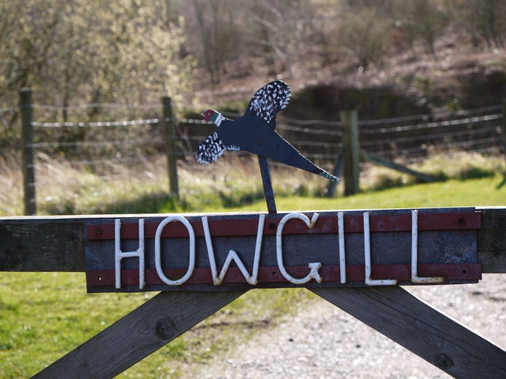
The walk started with an easy stroll along the farm track past Tortie, with it field full of sheep, through a series of open gates, to Howgill. A place said to take its name from the Old Norse haugr meaning a hill or knoll, and gil meaning a narrow valley. (Though I wonder if the ‘how’ comes from the Old English hol, a hollow, which would seem to make more sense here).
Howgill presented us with the first closed gate, all those before having been tied open, and went through it then another immediately on our left. Our route was to take us up the shoulder of the gill, high above Howgill Beck and onto the boggy path crossing Tindale Fell. The lower slopes had newly planted saplings amid bracken, tussocks, and grass. The coltsfoot was in flower and donkeys slept in a field below us. Bruthwaite Viewpoint, which over the top of the hill I mistook for a bench but was just a wooden sign gave us an excuse to stop and stare. The OS map here is dotted with several sites of ‘cairn’, ‘currick’, and ‘pile of stones’.
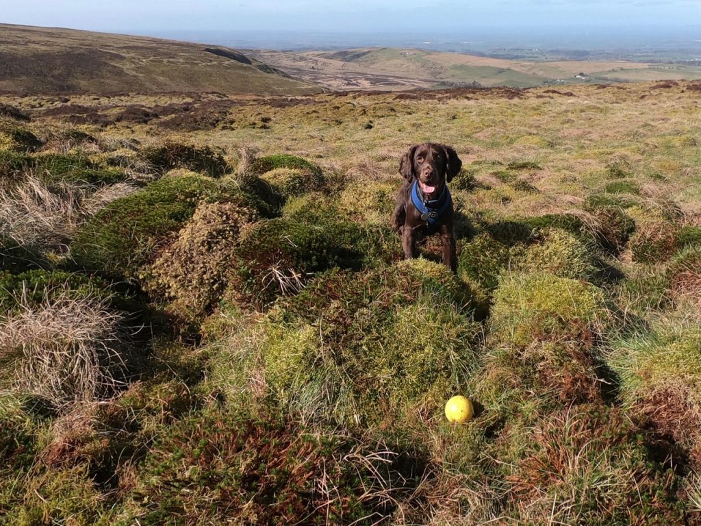
“Is that a fence?” Audrey asked. Yes it was. The fence line at 460m. I understood what she meant though. Was it a fence or just a line of old fenceposts? An hour had passed so we used the nearby ruins as seats and had a swig of coffee while Christy played with his ball amid the sphagnum.
The fence was a fence but fitted with a stile and a hurdle gate, which I hurdled (no not really) and Christy shimmied under. Here we had a choice: go off piste to the top of Tindale Fell or stay with the path to the col between Tindale and Cold Fells. I was for the former before setting off but there were sheep ahead that way and the ground looked to be hard going. As it was though, our own path led us into a field of peat hags, mire, and hidden holes then disappeared leaving us to find our own route, so we might as well have gone across the moorland to Tindale Fell.
At least one wall of peat was 3m so the base must have been laid down 3000 years ago. I wasn’t paying the peat hags too much attention though, spending most effort finding a way though. We continued to a fence leading up the hill and picked our way through the peat up to the summit.
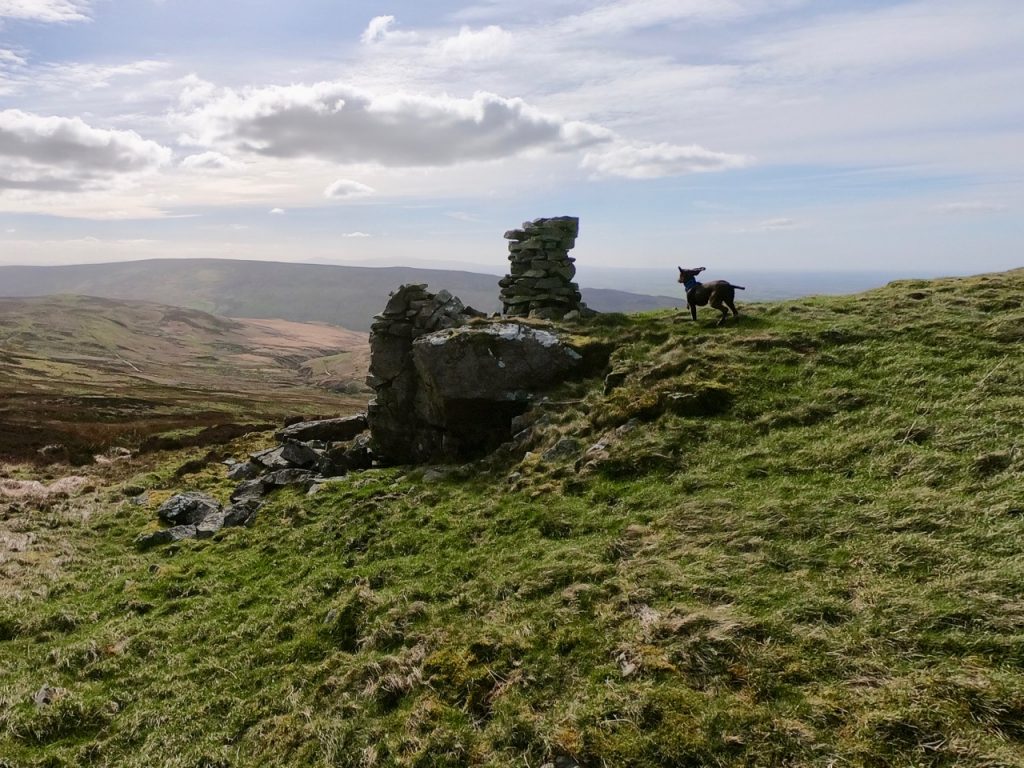
Here stood two cairns and a trig pillar atop a large pile of stones. One cairn was solid, one a shelter with stone seats. We sat by the trig basking in the sunshine eating lunch and playing fetch. When it was time to go I reread the slightly arcane walk instructions and kept them in mind. “The fence hard on your right.” “Do not be lured to the left where the fences meet.”
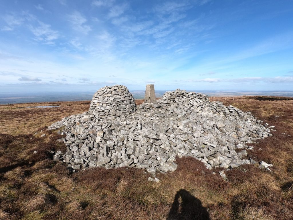
The cairn, built in antiquity, is deep set in the peat. The dome-shaped cairn is of modern construction (built in memory of Joe Fotheringham), on the east side of the OS pillar stands a rude wind shelter. The Bronze Age tumulus has taken some stick of recent years, the majority of visitors see them as just stones, not an ancient mausoleum, but then this is in the nature of continuity in a high passing place.
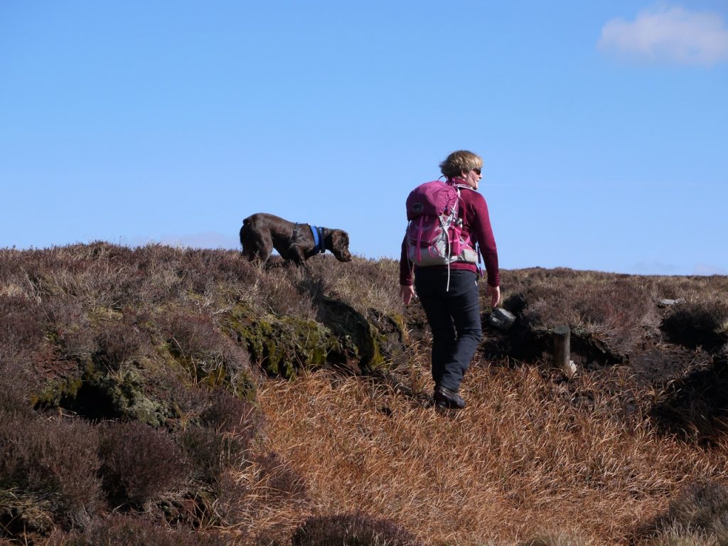
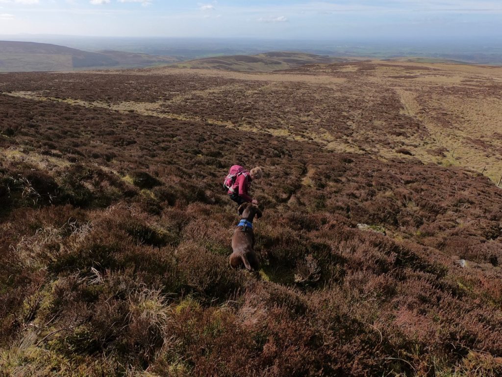
A faint track led from the summit and took us along a gentle descent from the summit of Cold Fell, the fence on our right hand as directed, towards Brown Fell. We picked our way along, avoiding the boggiest bits. Well, Audrey and I did, but Christy happily splashed through the wet while we squelched through the less wet. I cannot call it “dry.” As ever a track on the other side of the fence looked to be better, but I am wise to such temptations and ignored it.
There came an abrupt heathery step down. We paused as I re-read the route guide, misreading heathery as leathery. My brain had registered the unusual phrase “abrupt leathery step down” and had entered a circling flight-path, returning to the phrase every few milliseconds, analysing it, shaking its cerebral head, and moving on to return again. But before additional decryption could occur, a voice outside my head (Audrey) said “you must mean heathery”. And I was back in the real world. Down the heather we went.
On and on the peat bog stretched. Squelch, squelch, squelch our footfalls called as we looked for the place where we would begin to make our way down. The route described the place thus, a small cairn stands to the left, and up the bank right a large currick enjoys the best vantage over Gairs.
To our right was a a long wall of stones, looking more like a rocky knoll with the soil eroded than a large cairn with soil on top. Ahead was a cairn on a rocky outcrop looking like a chimney on a ruined dwelling. And over to our left, on the hillside, a cairn. We were advised to Backtrack to pass the smaller cairn, descend the bank avoiding the bracken to reach the tramway.
But what is a currick? The big thing to the right or the stack before us? And to which cairn were we to backtrack? The OS map was consulted with a gravitas completely out of proportion to the, relatively minor, decision before us. (I say this with the benefit of hindsight).
I took the two things that looked like cairns to be cairns and by exclusion, the thing to our right I thought to be the aforementioned currick. As I now know, currick is a Cumbrian term for a man-made pile of stones used to guide travellers. What I would call a cairn. But I didn’t know that then, nor did the two Cumbrians in the party. I can forgive Christy because he’s expected to have a limited vocabulary being a dog, but…
We looked across to the smaller cairn and could see no good reason to tramp half a kilometre across the heather just to descend from there rather than where we were. This did include considering that those who wrote the route up might know something we didn’t. So we headed down, skirting around the edge of a large bracken filled hollow that I presumed would have been much more troublesome than the heather to walk through.
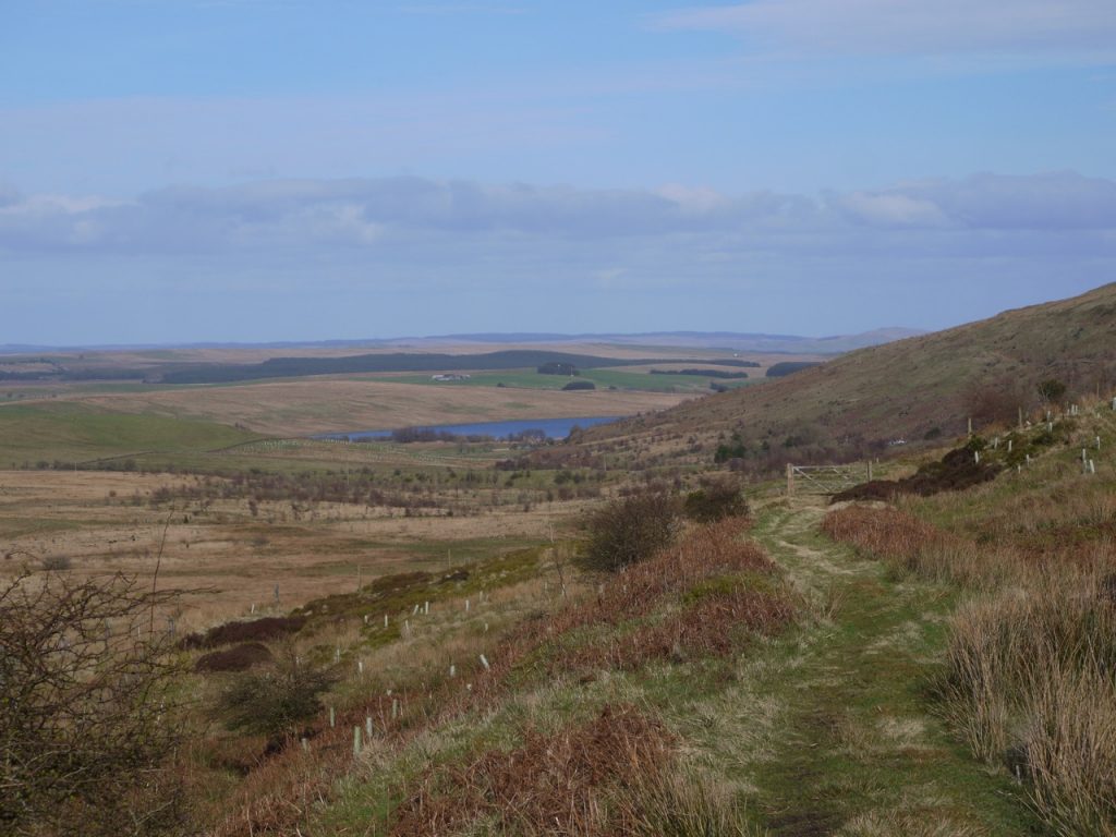
We were heading for “the tramway” the Gair Colliery Tramway of which only a track now remains. Once on the trackway the going was a lot easier though the way itself was very boggy in places. We passed some cows by the fence, Christy’s first cows, and had views of old mine workings to our right and quarries to the left.
Once back at Howgill we were back on farm track all the way back to the car car park.
Download file for GPS
