10.2 miles, 5h 15m, descent from 1233m to sea level.
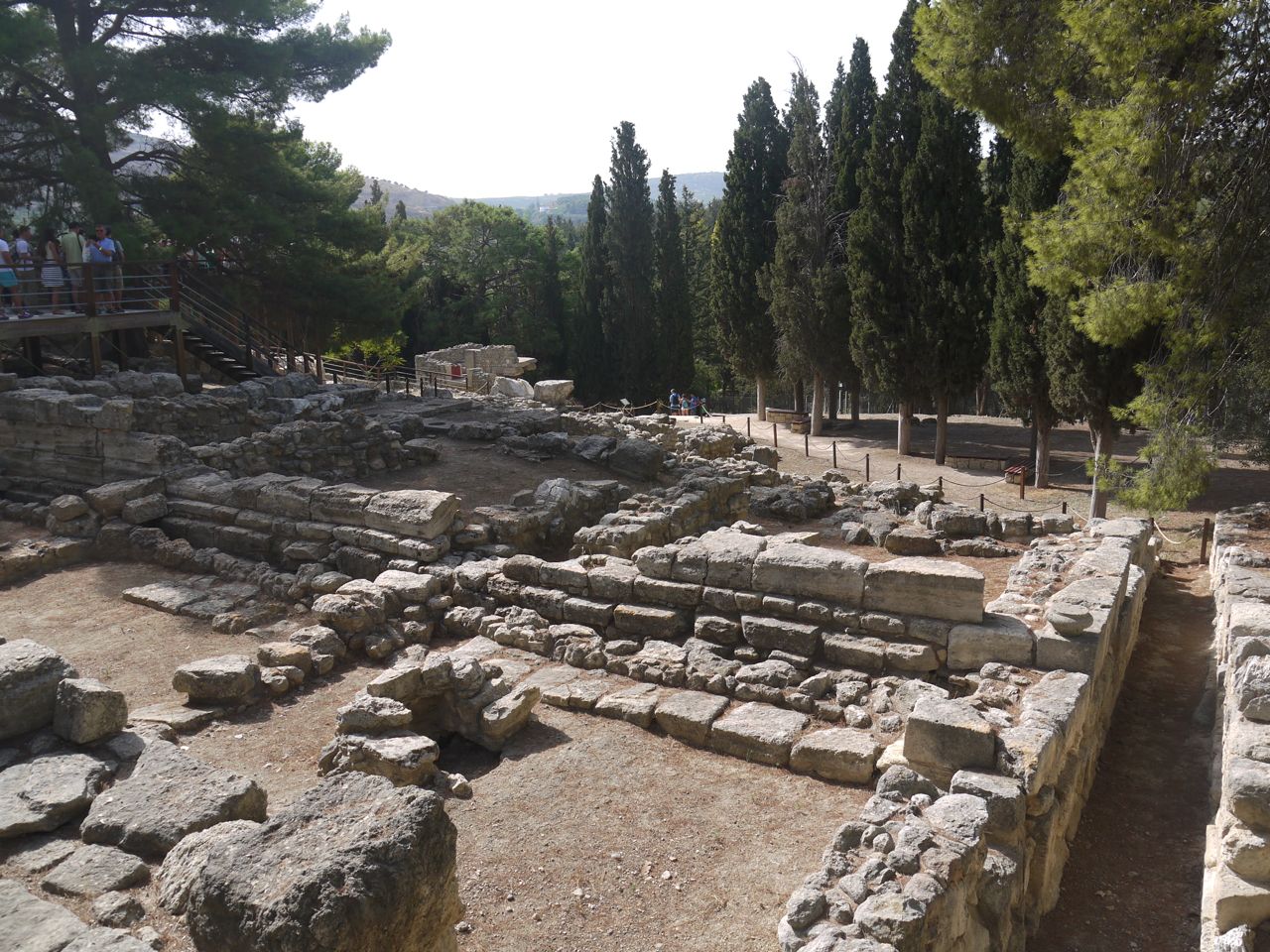
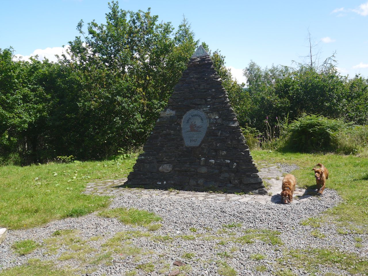
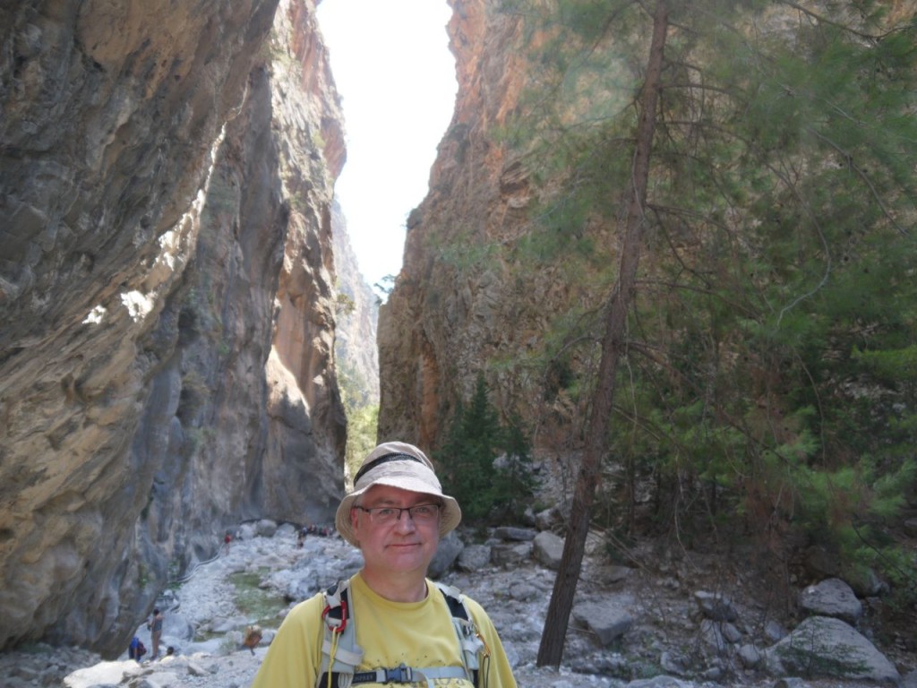
 Samaria Gorge, Crete
A long tale, I’m afraid, but it was a long day.
My pick up was at a pre-dawn 5.45 am. The alarm was set for 5 am and the hotel provided an early breakfast. I put one of the sandwiches in my rucksack for lunch and chose another to eat immediately. Yuck. After one bite I took the sandwich from my rucksack and returned it to the tray. Cereal and coffee would have to suffice.
There was no sun or moon but streetlights allowed me to pick out the breaking waves on the beach. Five rows of breakers sometimes, and more of a breeze than usual making it cooler outside than in the air conditioned buildings. Looking up I realised there were clouds since I could see Orion’s dagger and belt but not his body, which was then slowly revealed as the clouds moved. Did Betelgeuse really have an orange tinge, or was my brain making me believe it? Cassiopeia was hanging over the sea which led my eyes to the Pole star but the Plough was behind cloud.
5.40 am. I passed a little more time putting on sun lotion, and then put the lotion back in the bag.
Along the road I saw a minibus. There was a sign in the windscreen, but it was dark and I could not read it. It drove past without slowing and turned up by the hotel infusing me with a crisis of confidence. Was I stood in the wrong place? I was told to wait here, but perhaps the bus driver has gone to the other hotel entrance. The bus was a little early, perhaps it was waiting. I ran along the road to look for the bus but it had driven on. How long should I wait before accepting that I had missed the bus?
Another minibus came along. This one stops and the driver says “Samaria?” Yes. I climb on. There are four other passengers all looking decidedly bleary eyed. The driver asks my name, consults his list and clearly cannot find my name. I lean in an point to it. I’m on the right bus
I now have a chance to have a better look at my fellow travellers. Four twenty-somethings. Oh dear I’m going to be one of the slower walkers. At the next stop there is quite a crowd. Too many to fit on this minibus. The driver shouts “De Groot”. There is murmuring in the crowd but no-one steps up. He calls again, checking his list again. No response. Then a voice asks ” de hrouter” and after Mrs De Groute checks the list herself, as I had done, she and her presumed husband join the bus. She looks athletic and her husband looks like a fell runner. I was still going to be the slowcoach of the group.
My prayers were answered though with the final two passengers picked up who looked a little like the elderly couple who find themselves on the roller coaster in he Specsavers advert. I felt I would not be slowest. Of course it was dark and one’s imagination can play tricks. In the clear light of day I was forced to upgrade this couple to “slightly portly fell walker” category, and bring their age bracket to the same as my own.
We drove for a long time. In my mind’s eye I could work out where we were but my mind’s eye proved to be overly optimistic as to how far we had travelled. I imagined we were travelling south and would be seeing the south coast when the sun rose, but we were still near Heraklion. Having driven on quite a major road for some time we turned off close to a large industrial plant with four tall chimneys.
That the chimneys were visible showed twilight was upon us, but it was still dark, like night being passed but day not yet begun, as the poet says. We drew in to the Atzi Zeus Hotel and were told to get out of the minibus and onto the coach that sat waiting. A double decker behemoth. A kindly lady speaking a foreign tongue, Dutch I think, took our tickets. The lower deck seats were all occupied, but a few remained free upstairs. As we drove out of the hotel I could see that the chimneys were red and white. Dawn had come and monochrome was being replaced by colour. The sky lightened into blue and the clouds were tinged with pink. As we drove on it was obvious that the sun was rising behind us. We were still heading west..
Our guide, Mariza, gave us information first in German, then Dutch. So long was her monologue in each language that I began to wonder if there was to be an English version. The same thought must have occurred to an English speaker sitting close to her, because she did reassure the English speakers that our time would come.
Not speaking German or Dutch I spent a little time trying to follow the talents it was outlined in these languages. An interesting phenomenon was that the part of my brain attempting language parsing would occasionally mis-recognise words or phrases as English. I heard the phrase “Richter scale” several times. Actually rechter zijde, right side. I cannot though work out what toboggan was supposed be.
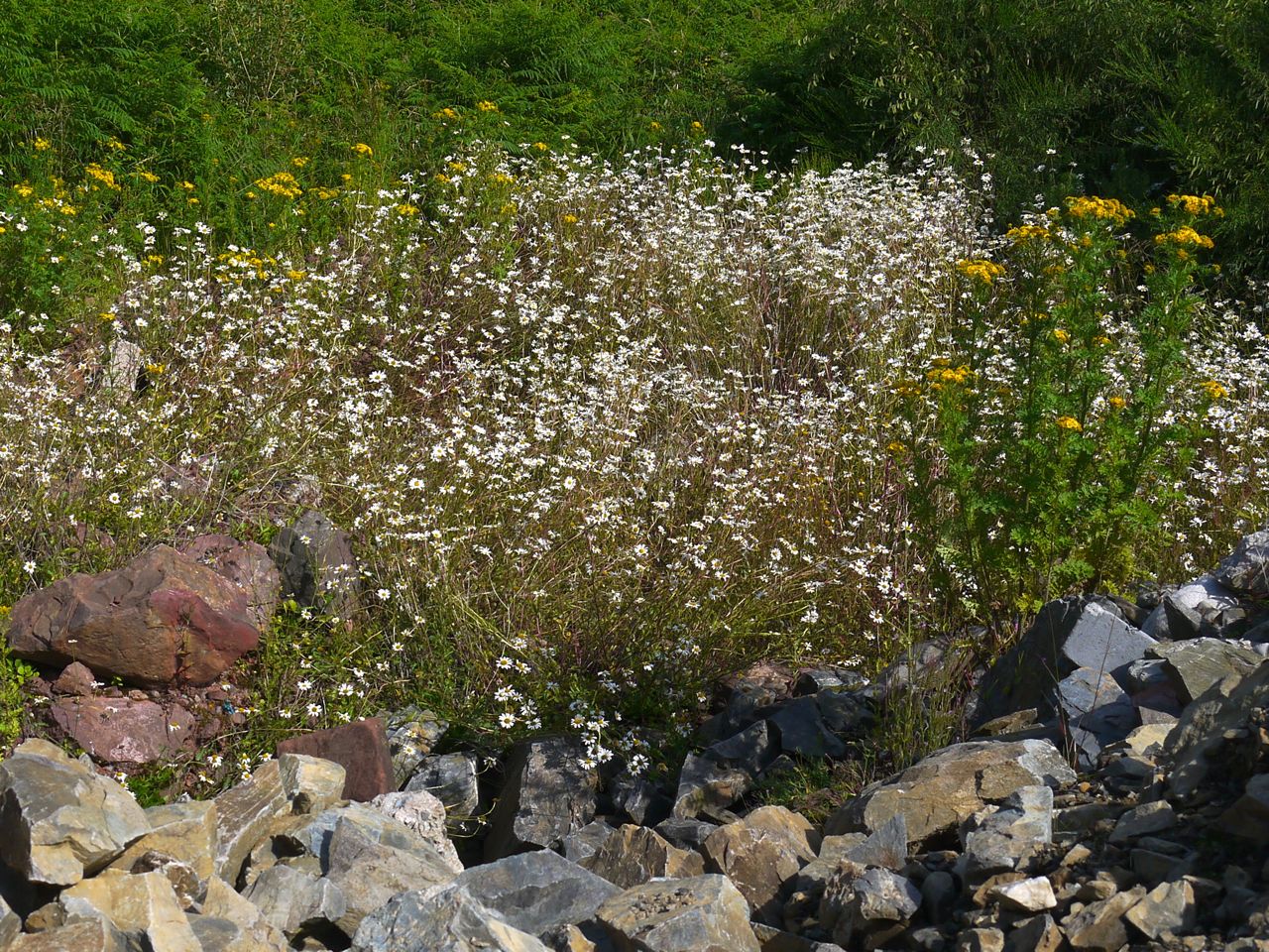
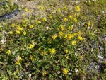
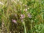
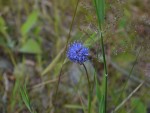
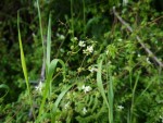
When the sun had fully risen we called in to a rest stop for twenty minutes. I didn’t need any breakfast but with toilets I thought it wise to avail myself, better safe than sorry. I stood in the early morning sunlight and looked at the wild flowers to pass the time. I wasn’t sure where we were until I had decoded a nearby sign from Ρέθυμνο into Roman letters, Rethymno. Still on the north coast then.
As we drove past the city itself later Mariza was in English mode so I heard its story of Venetian then Turkish control. Eventually we turned from the coast and headed south and up. On the higher land agriculture was greener and we drove through orange groves and avacodo plantations. The roads twisted and turned and the valleys grew deeper.
Lakki, a small town, has a monument to three generations lost opposing the Turks, and also seemed to be having a memorial gathering. Getting through the town proved problematic. The road was narrowed by parked cars, abandoned cars, industrial sized wheelie bins etc and there was gridlock. Coach drivers were encouraging drivers to back up to clear a route but other drivers would then drive into the spaces leading to heated exchanges.
At the town of Omalos we had a final rest and refreshment stop, and this time with herbal tea courtesy of the tour company. Omalos is the name of the plateau and means flat or plain. This gives us an-omalous, meaning not normal. Herbal tea and linguistics, strange bedfellows. Back on the coach and driving across the Omalos plateau, our guide pointed out half a dozen vultures circling. My attempts at photos through the coach window didn’t make much of them, but looking back at the photos reminded me that there were dark grey clouds filling the sky. I began to worry that I would have rain on the walk but Mariza reassured us that the sky would be clear when we got to Samaria.
We were approaching the entrance to the National Park, so had our final, tri-lingual, briefing.
The gist of this was: it’s 16 km and once you start the only way out is to walk to the end or climb back the way you had come; appropriate footwear was essential; we were leaving Agia Roumeli on the 5.30 pm ferry; we should have left Samaria village by 2 pm; there was an hour to go to reach the exit once we reached the Sideroportes; from the exit there was a further 3 km to walk to the town and the ferry; if anyone decided they couldn’t make it they should stay on the bus; stopping to rest at places other than the designated rest areas was frowned upon; Mariza would walk with the slowest walkers and if we were overtaken by her we were to say “hello, Mariza” so she knew we were part of the group.
I was pleased to find we were not to walk as a rather large, and multilingual, group. I would be able to set my own pace. My worries that I would be among the slower walkers but that proved unfounded.
So, the gorge walk proper.
I had read of long queues to enter the National Park but there was just the couple from the minibus ahead of me. The woman was limping, using a walking pole more like a walking stick, causing the ranger at the gate to ask if they were going to manage the walk. He told them that the terrain was quite rough. They assured him that they would be fine since they were used to walking in Snowdownia. He seemed unconvinced and asked who their guide was, presumably to warn her of possible problems. They could not remember her name so I reminded them.
With our ticket was a basic map. This showed ten rest places and the distances between them with their estimated timings. The first and last rest stops being at the entrance and exit. I was quicker than these timings without putting in any particular effort.
Xyloskalo
1700m 40′
Neroutsiko
1200m 25′
Sykia
900m 20′
Agia Nikolaos
900m 20′
Vryssi
1100m 20′
Prinari
1200m 25′
Samaria
1100m 15′
Perdika
3100m 70′
Christos
1800m 45′
Old Agia Roumeli exit
3 km to the new town
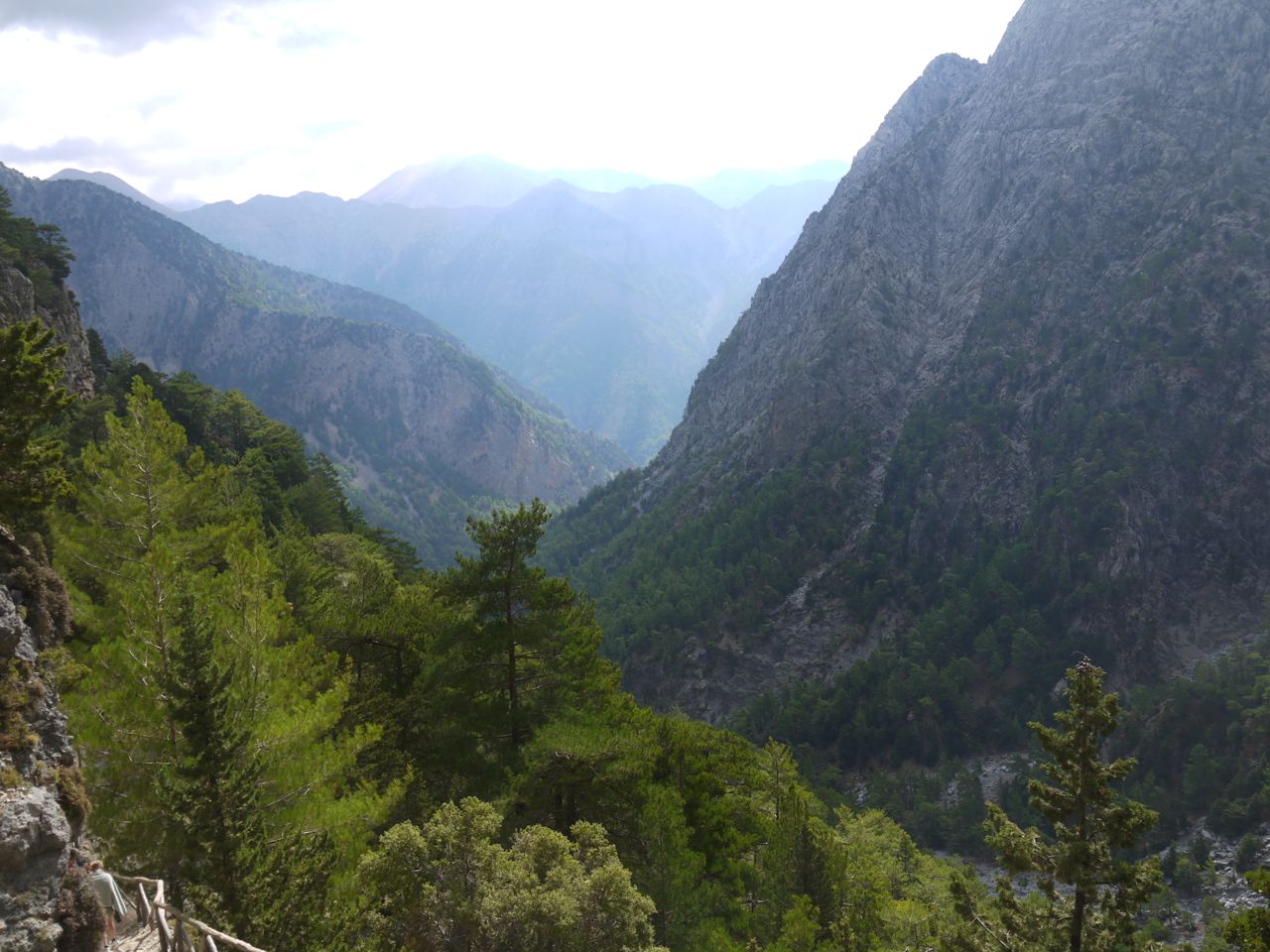
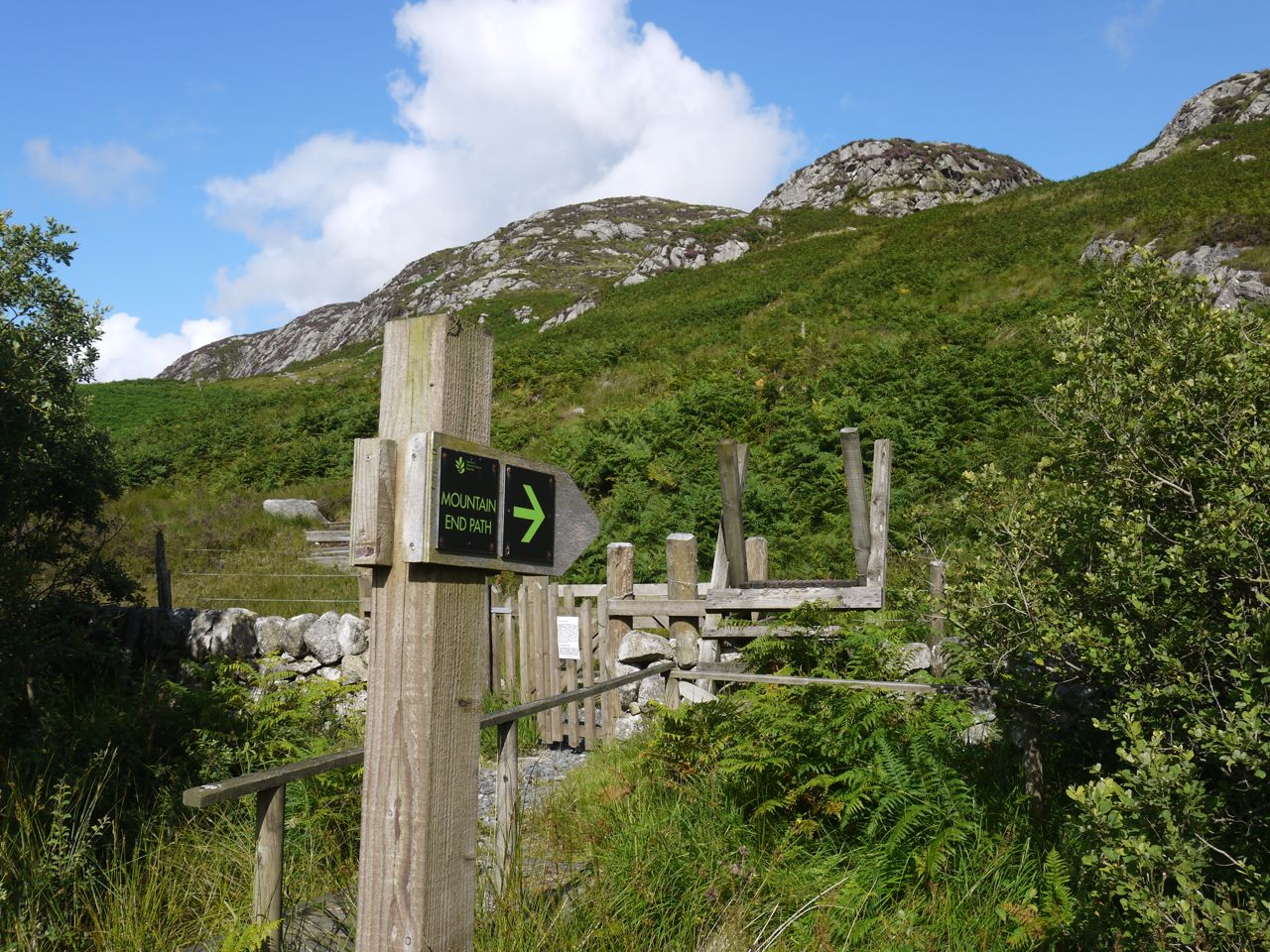
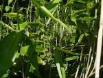
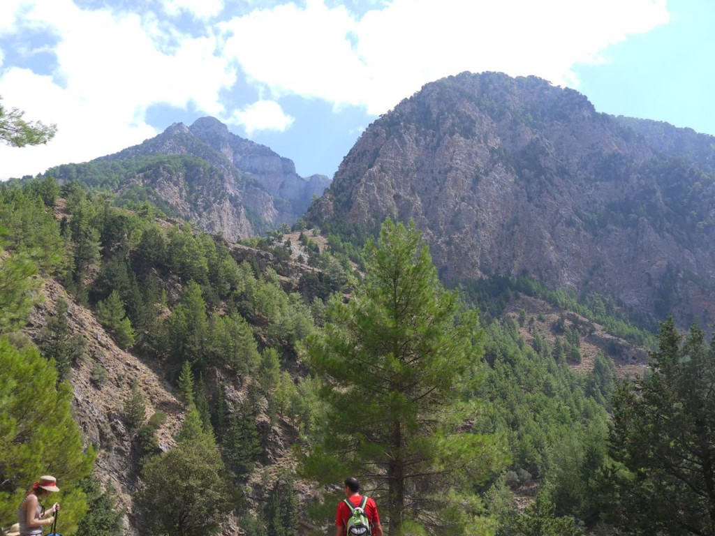
The walk starts with the Xyloskalo. I spent some time trying to work out what the prefix “Xylo-” meant but the only other word that I knew containing it, “xylophone” didn’t help me much, and I had to wait until I was back at the hotel, in the land of (intermittent) wi-fi to find it meant “wood”. So Xyloskalo was the wooden staircase. It is not actually a wooden staircase though apparently in the past the locals had constructed such a thing to allow them to get down the steep hillside and into the gorge. Now there is a stony path zig-zagging down the hillside with wooden parapets to protect the ataxic from plunging to their deaths. There are impressive views from this high vantage point of the White Mountains, through which the Samaria Gorge runs. At this time of year though the snow has all melted leaving grey summits on Gingalos and Vilokia.

View from Xyloskalo
The path here is stone, loose rock, and dust. In places there are smooth areas of path but it is mostly rocky steps with the most used footfalls polished to a smooth surface. I soon learnt that dust is a lubricant. Having said that, though I slipped a few times I didn’t actually fall over until the very end.
I found that my pace was quicker than many walkers, and made my way past them wherever I could, giving those who allowed me past a Thank you/Danke/Merci as seemed fit. The chap who had sat behind me on the coach appeared to be going along at the same pace as me and throughout the day we would pass each other when one or other of us had stopped for a rest or to take a photo. The only walkers I felt an urge to get away from were a group of American girls one of whom talked incessantly while the others gave non-committal hums and ha’s. The topic was naturopathy and alternative treatments and I soon decided I could not face the walk with these unfounded assertions and conclusions as my soundtrack. Luckily I was able to get past and out of earshot.
This early section was quite pleasant walking in the shade of a forest of pine and cypress, with excellent views down the valley. I had intended having a rest at each rest stop but was at the first within half an hour so paused only briefly to take a sip of water. Most of the rest areas have natural springs from which water bottles can be refilled but I had brought 2.25 litres along with me and stuck with bottled water until my beer at the end.
At one point there was a white horse in the trees, looking like unicorn in the forest. Closer to it looked more like a mule and was tethered close to a saddle. A couple of hours later I saw a park ranger riding a donkey along the gorge, so presumably this was also a ranger’s ride.
This descent into the gorge is probably the hardest section on knees and thighs. I had read that this was 1200 steps down in 2 km. My iPhone records a step count but the count was so high that I suspect it was inaccurate. Websites give a variety of measures of this descent, most of which are clearly exaggerations, such as 1000m in 2km. The path does zig-zag which reduces the gradient you walk and my GPS tracker made it 680m descent in 3.8 km which isn’t particularly steep.
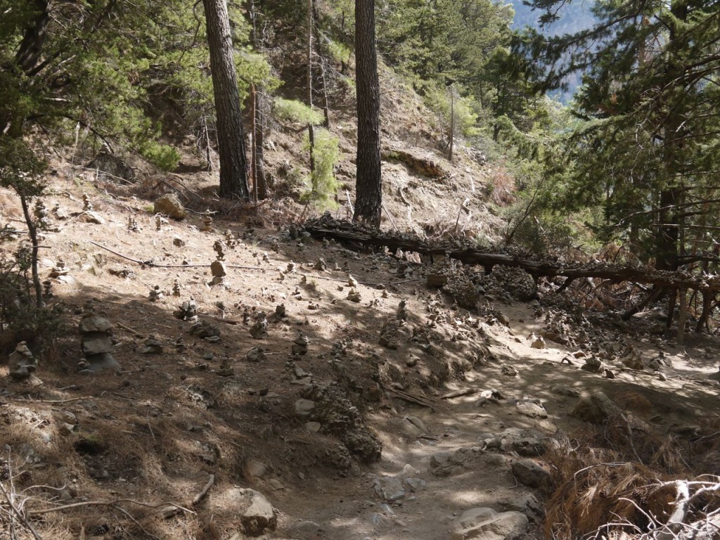
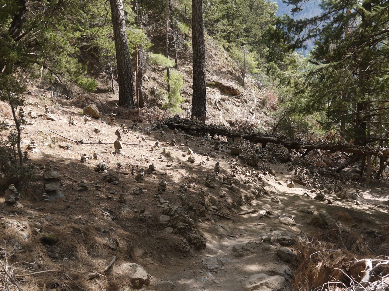
Mini-cairns near the 3km point
Towards the lower part of the descent there were numerous small cairns, some on the ground, others on boulders or on fallen tree trunks. These were found throughout the gorge but most numerous here. I felt obliged to add a stone myself.
There are kilometre markers along the way, mostly rocks with a number painted on. I couldn’t help thinking of these as milestones. As I passed the 3km stone I thought “not quite halfway to the not quite halfway point”.
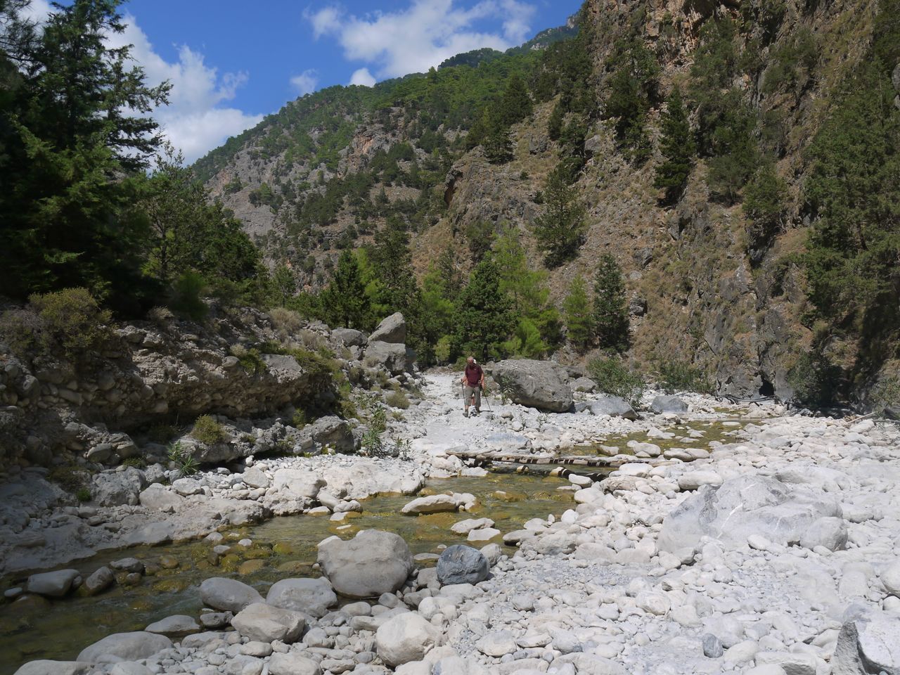
Rest stop four is by the ancient church of St Nicholas, Agia Nikolaos which contains some icons and burning candles. Being only a few metres above the gorge floor, the path takes on a gentler descent here. From here to Samaria Village 3.2 km away seems relatively flat, on pebbles and rocks for the most part, the path crossing the river bed several times, which was dry initially but later had a little water, so stepping stones were needed. Though some of this section was in shade, there were now long sections in direct sunlight.

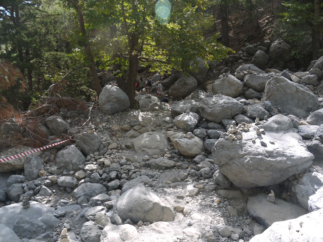
The riverbed
Along the way I saw a variety of inappropriate footwear including flip-flops, jellies, deck shoes, and obviously the younger folk had not done up their laces, merely tucking them into their shoes. Other inappropriate gear included a denim jacket. Denim shorts were not uncommon, even full length jeans. Some walkers had decided that tee shirts were better worn as headgear. This does raise the question though as to whether I was properly attired and these folk inappropriately attired, or they had the right of it and I was overdressed. Later I was to pass a guy walking the gorge uphill, barefoot in just shorts.
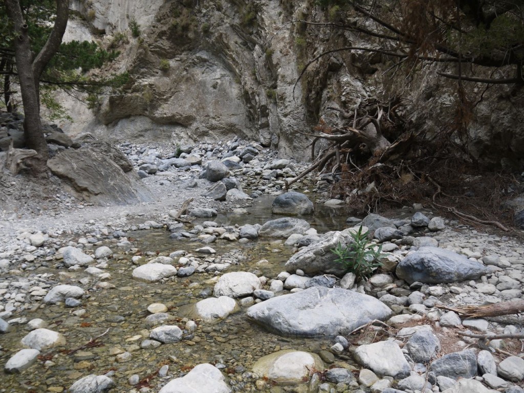
The river starts
Samaria village is at about 7km (not quite half-way, 7/16thsin fact) and the gorge here is deep enough to need a bridge. The information boards say that the village was abandoned in 1962 when the area became a national park but some of the buildings are still maintained for park business. There were plenty of wooden seats under the shade of trees and I was making good time so decided a mandatory rest stop of 20 minutes should be taken. An apple, half an energy bar, a good slug of water and time for reflection. It looked as though most of the shade was now behind me so I reapplied the SPF30 and got my sun hat out of the rucksack.
View back up the gorge from near Samaria Village
There are toilets at Samaria village, and a helipad, but no helicopter. Along the walk there are occasionally areas where one thinks that there would be good cover, behind rocks for example, to have a pee. The national park has obviously identified these spots and each one will have a small signpost nearby saying something like, “WC 250m”.
20 minute break complete, silly hat in place, I crossed the bridge back to the path and steeled myself for the next 9km. I knew that the village and the gorge took its name from Osia Maria the church, so was keen to see that and just outside the village I noticed a small building similar in shape to the earlier Agia Nikolaos church. Getting to it was not difficult but did require some scrambling over low stone walls. I caught my right foot on a root getting there relieving me of my right shoe. A warning that my laces needed to be tightened.
Back on the path and 200 m further along was a sign for the actual Osia Maria church, so the place I visited must have been a minor chapel.
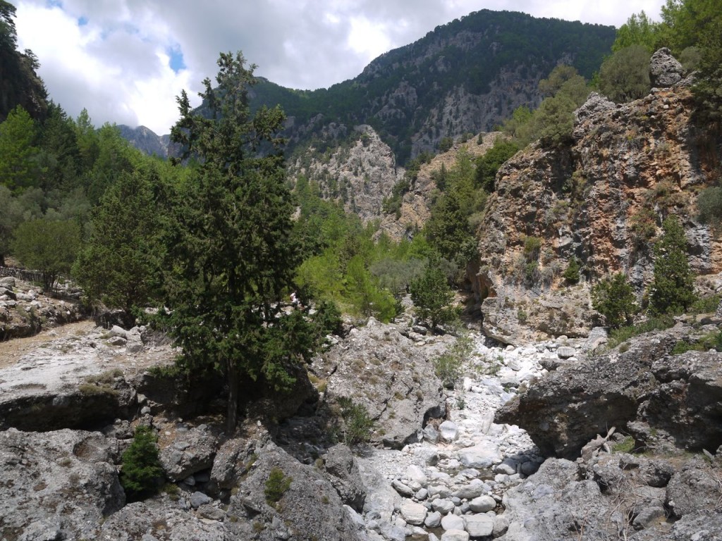
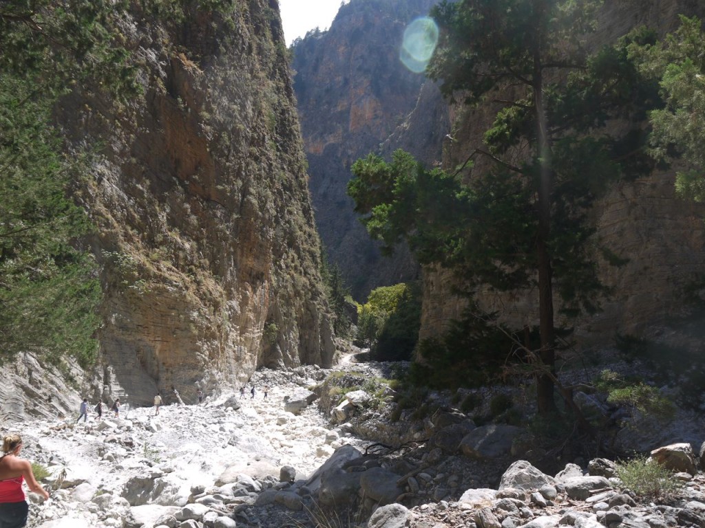
From Samaria village to the rest stop at Christos is 4.2 km, with one minor rest place, Perdika, on the way. The route descends onto the wide dry river bed, made up of large boulders and smaller pebbles. It was about twenty minutes to the start of the narrower part of the gorge and it is this 8-10 km section that is the most impressive and gorge-like. The terrain reminded me of the first Stars Wars film (which I haven’t seen for many years) and I don’t think I would have been too surprised to see Obi-Wan come running around a bend pursued by a band of Jawas.
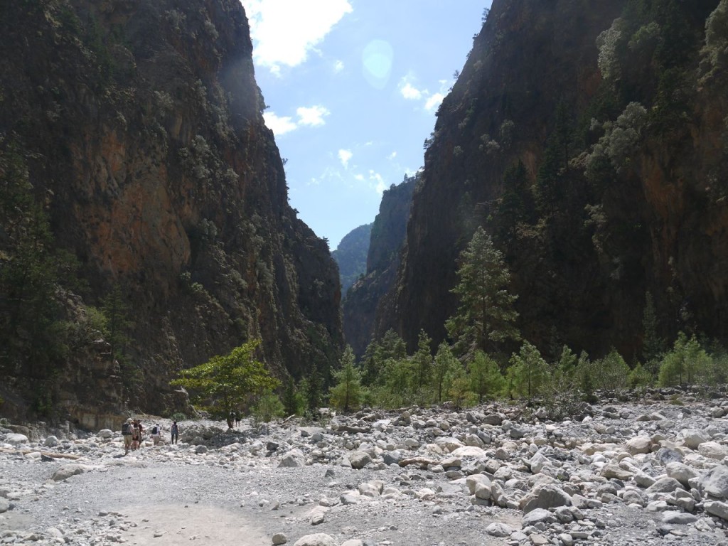
Narrow Gorge begins
Christos is one of the larger rest areas with plenty of places to sit. Though shaded by trees it was still very warm. My larger water bottle, 1.5 litres, was now empty and was consigned to a bin. The rucksack was becoming lighter but I can’t say I really noticed it. I had 10 minutes here watching other walkers arrive. Some looked full of energy but most looked tired and hot. Very few walked straight through. I looked at my dust covered walking shoes, and thought how unusual a sight this was. Back home they were usually either wet or muddy.
The watercourse had grown large enough that stepping stones were no longer adequate and small wooden footbridges were strategically placed. These were quite bendy with the rungs sometimes quite widely spaced. I was pleased to have previously had experience walking over cattle grids, though those are not usually bouncy.
Samaria Gorge
At one such bridge a teenager, egged on by his father, started bouncing on the footbridge. It really did look as if he could have snapped the thing. Despite the fact that we were in the middle of nowhere, an irate park ranger materialise from nowhere and went ballistic at the pair. I smiled and looking about at the other folk waiting to cross, I found I was not the only one to enjoy their dressing down.
This section does not really have a fixed path. I presume that the rocks are all shifted about each year when the river is in spate with melt waters. The easiest route across the rocks must be picked out by the crowds each year and the footbridges placed accordingly. The bridges are not fixed in place and will be washed away when the river fills.
The gorge is only 4m wide at its narrowest point and the sheer cliffs 300m high. This situation played havoc with the GPS tracker’s altitude measures since the databases from which altitude is assigned have resolutions of 30m. So the raw GPS track concluded that I had climbed 1600m in addition to the descent from 1233m to sea level. I have looked at the map contours and that is clearly not the case. There were definitely short ascents as the path criss crossed the river bed and climbed up the ground either side and the guide had talked about a ten minute uphill section which I don’t specifically recall. I would guess that the actual total ascent would be about 100m.
Sideroportes
The narrowest part of the gorge is named the Sideroportes, meaning iron gates, but this seems to be a relatively modern name. Apparently the locals referred to these as Portes, Gates, so perhaps the longer name is for us tourists. It is certainly an impressive place. The rock walls show their sedimentary origin with layers of lighter and darker rocks and these were vertical in places, almost horizontal in others. There were more small cairns in the gorge and I couldn’t help thinking that they must have been built this season since they would be likely to be washed away by the waters in spate. Trees with holes in their trunks were filled with stones, and I wonder if they have been placed there or washed in by flood waters. Having seen photos of the river in spate I am inclined to believe the river washes them in. One fallen tree trunk was covered in small cairns that must have been man-made. I added a stone to one.

Lower gorge
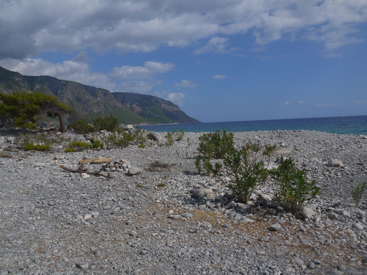
After the Sideroportes the gorge widened out and there came a point where the Libyan sea could just be glimpsed. The final walk to the old Agia Roumelli and the exit from the National park was without shade. At the exit the second ticket stub is collected so that they can be sure you have made it out. There is a taverna here and some folk were sitting in the shade with cool beers. I decided to press on and delay my beer until the end. I was not tempted either by the postcards at €5 each.
There is a minor road beyond the exit, but no shade. Some enterprising locals have set up a sign a little way beyond the exit “you still have 2 km to walk to town, take the bus for €1.5”. I was easily able to resist the temptation but can see why those limping out of the gorge might want a ride. The bus was actually quite a way past the sign and I wondered if the sign was 2km from town but the bus running from closer, a clever piece of marketing.
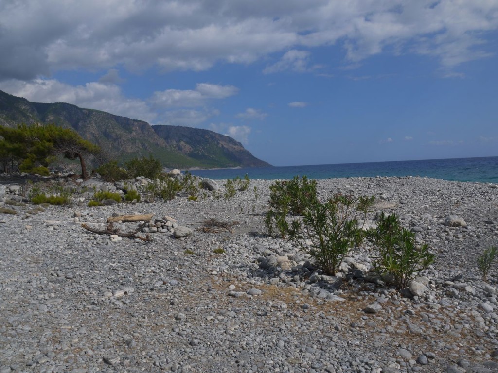
The Libyan Sea
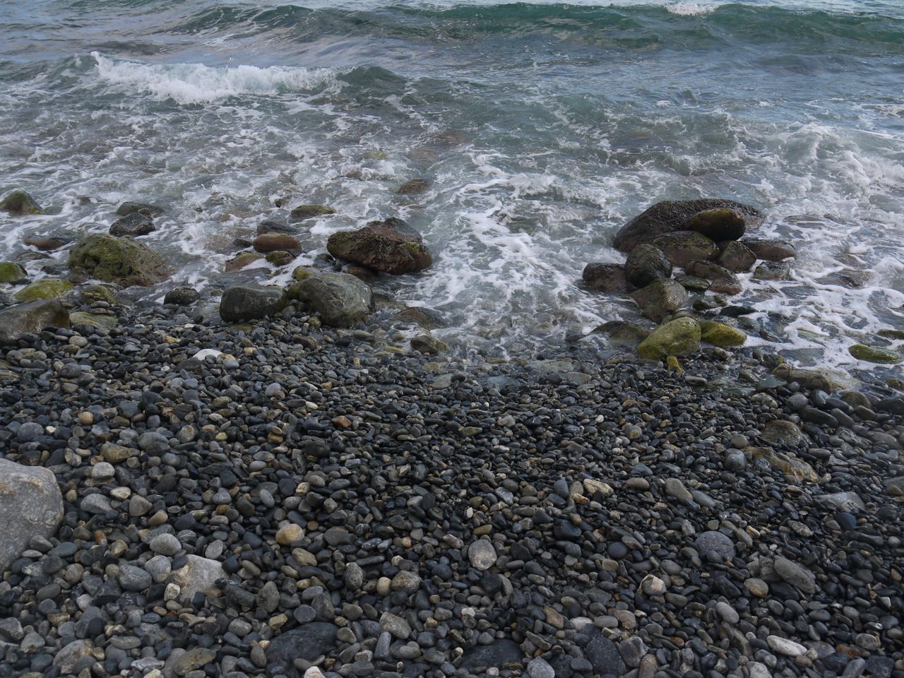
Approaching the new Agia Roumelli I headed directly to the shore rather than the town. I wouldn’t feel I had completed the walk until I stepped into the sea. The beach was pebbles and a little uncomfortable to walk across but it was good to take off my footwear and flex my bare feet.
At last I stepped into the cool sea, but my moment of quiet reflection and relaxation was disturbed by a slightly larger wave which with the uncomfortable pebbles underfoot overwhelmed by balance mechanisms and left me sitting on the wet stones.

End of the walk
After a well deserved rest I swapped the walking shoes for flip flops, ah the joy of cool air on my feet. And headed for the town to find a cold beer. At the first Taverna, I went inside, took a seat in the shade and ordered my reward, a Mythos beer and Souvlaki (a kebab).
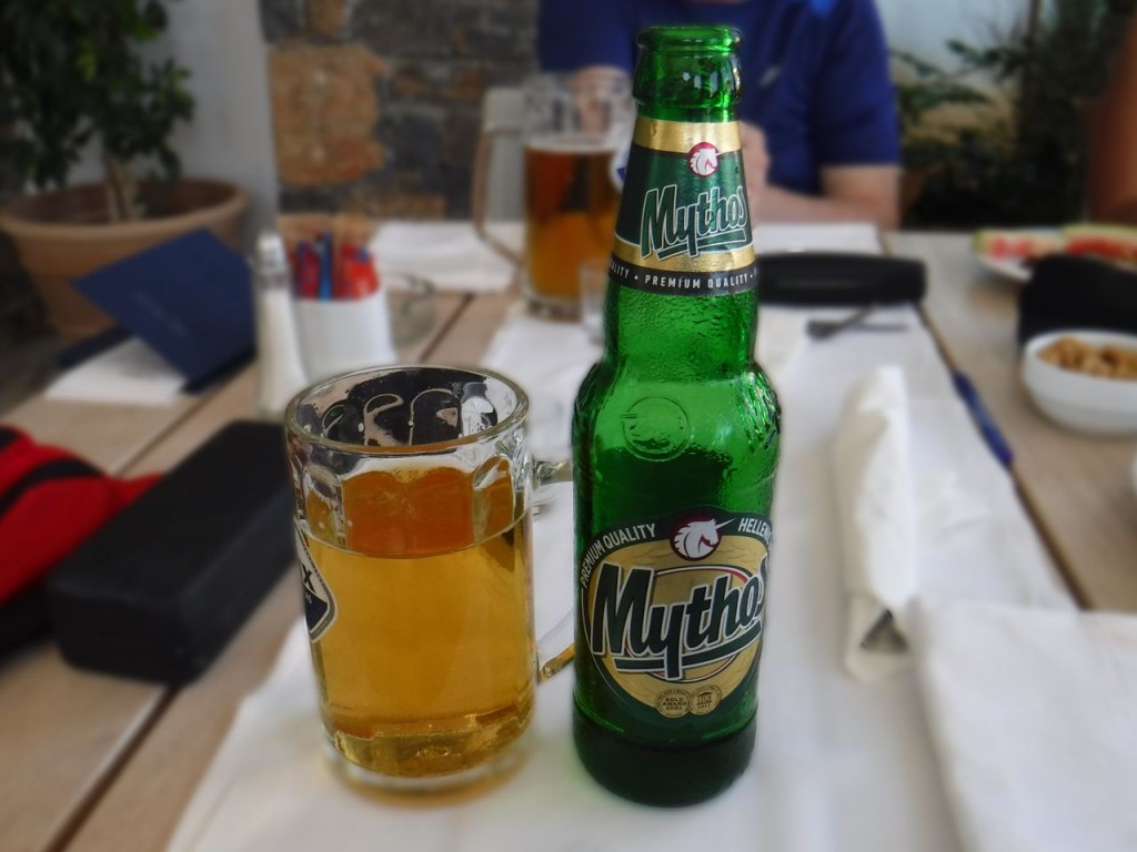
Reward
Fed and watered, I thought about the next stage in this journey. Our guide had said we should find her in the Taverna at 5.15 to collect our tickets for the boat, which left at 5.30. She had said that the town was very small and that finding each other would be no bother. The town was somewhat larger than I had expected and their were several tavernas, so this was not going to be as easy as I had thought. While musing about this, my neighbour from the coach, the solo German, found me. Unfortunately neither of us spoke each other’s language and it didn’t occur to me to ask if he spoke French. We were able however to share our uncertainty about where to find Mariza and agreed we would look out for each other in town.
I had a back up plan in case I could not find Mariza in the taverna. I would in that case just wait for her at the quay. This reduced my worries and I set out for the quay where a boat “Samaria” was moored. I had already forgotten the name of the boat we were to take but did recall it was not Samaria, more something like Dasgolallia. The taverna nearest the quay seemed the most likely for Mariza to use and I recognised others from the coach waiting there. At just after 5pm, Mariza arrived and I soon had my boat ticket in hand, given to me with a warning that I was to get off at the second stop.
The boat was the Daskalogiannis.
The German chap found me again and we had a linguistically challenged chat. He had finished the walk in 4h 50m and seemed surprised that I had taken 5h 15m since we had been walking about the same pace. I presumed that he must not have stopped for as long as I had along the way. We found we had both left a wife at our respective hotels though apparently his wife had intended to come but then changed her mind.
The next stage was the boat journey. There are no roads into Agia Roumeli so those walking the gorge must sail out. Embarkation was a study in Brownian motion, the crowd of several hundred just milling onto the ferry and then up various stairways where tickets were taken. Since this was the rate limiting step I suspect that orderly queueing would not have made things any quicker.
There were two seating decks above the car deck, the lower deck inside, shaded and already full, and the upper deck outside, unshaded and pretty full. I found a seat opposite a young couple who made no effort to move their legs forcing me to sit sideways at first. Luckily an elderly French couple arrived and barged their legs out of the way as if they were wading through water. I was then able to sit straight.
The coast here reminded me of the Amalfi coast but the hills plunged directly into the sea leaving no place for a coast road. I had heard that the southern part of Crete was rising and features of this could be seen in the cliffs.
At the first stop my long legged neighbours, and the couple who had cleared my leg room left their seats to get off the boat. Another older couple sat by me, the woman carrying a small dog. When a young woman wandered by looking for a seat they called to her and indicated the space between them and me. She squeezed in, chatting to the older couple in a way that suggested they were together. Then we were joined by a young guy with a large camera, and unfeasibly tight shorts, who sat opposite me after getting those on that bench to shuffle closer together.
The chap then turned his camera on the young woman and started to take photographs of her from an arm’s length away. There was silence from the woman and the pair I presumed to be her parents. Then the presumed father said something in measured tones to the young man. I had thought this would be a prelude to physical violence, but he then turned his camera on them as well. More measured talk, and I started to edge away as much as I could. Then he took the dog and gave the camera to the girl to hold. So they must have been together.
Whereas at the first stop there had been announcements in various languages naming the port and asking those leaving the boat to proceed to the lower decks, this time there was nothing. I looked for a name to confirm this was Sfakia, but no joy, but it was the second stop so I got off.
The crowd leaving the boat edged towards the town sharing the road with cars. I could see no sign of coaches but then the German soloist caught my eye and pointed up to the sky. I looked up but the sky didn’t seem particularly unusual. Then I spotted the steps to my right and took them. There was our coach. I climbed aboard, sank into the soft seat and relaxed.
A caravan of coaches slowly climbed the zig-zag road out of Sfakia, and the few clouds were tinged with orange as the sun sank lower in the sky.
It was to be 110 miles back to the hotel. We drove along a road above the Imbros gorge which is one of the shorter gorge walks in the area and it was dark by the time we stopped again outside Rethymno for a food and toilet break. I had intended having a bite to eat there but decided to get an early spot in the toilet queue. By the time I was out several more coaches had arrived and getting food was not going to be an option.
Back at the Atzi Zeus hotel, those of us who had come on the minibus were transferred. The lady who I had seen walking with a stick at the start of the walk was being helped by her husband hardly able to walk. The minibus took quite a detour to drop them off closer to where they were staying.
Back at the hotel, a cool drink, a shower, and a comfortable bed.
Next morning I had aching calves and quads, and walking down steps was particularly unpleasant. I felt each of the twenty one steps down between our room and the hotel amenities. I decided to drink plenty of water to wash out the circulating creatinine phosphokinase and thought it best to avoid nephrotoxics such as NSAIDs. With my continued myalgia and walking difficulties the following day, Mrs Drow ‘n’ Smirr decided that action was required and over-ruled my miserliness to book a deep massage at the hotel spa. She warned me not to think of Jessica Rabbit during the massage, but no such effort was needed.
Having tender muscles kneaded by elbows produced neither relaxation nor erotic thoughts, and confirmed, if any confirmation was needed, that I do not have Masochistic tendencies. I wondered if perhaps I had not being paying attention at the beginning of the massage. Had they given me a safe word? Had I missed it?
This was not as difficult a walk as some websites would have you believe, but I wouldn’t have wanted to do it in trainers and it certainly isn’t a walk for folk with bad knees. It was a long distance to the walk making it a long day but the coach was comfortable and air conditioned. I am pleased to have walked the Samaria Gorge.
More Photos
[sgpx gpx=”http://www.screel.co.uk/walks/wp-content/uploads/2015/09/20150919103729-73085-data.gpx”]

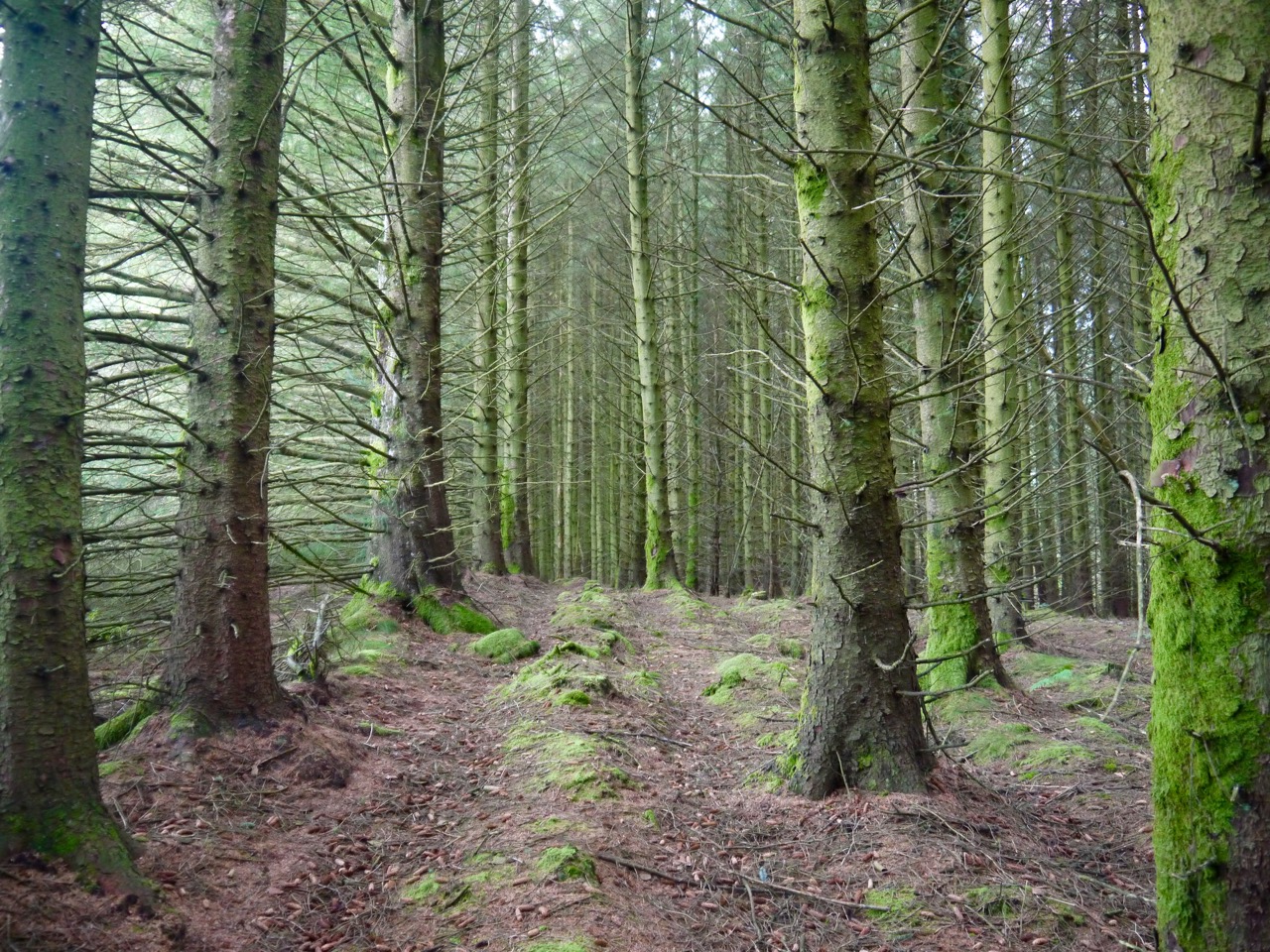
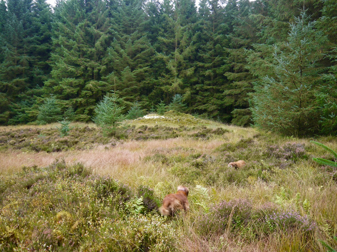
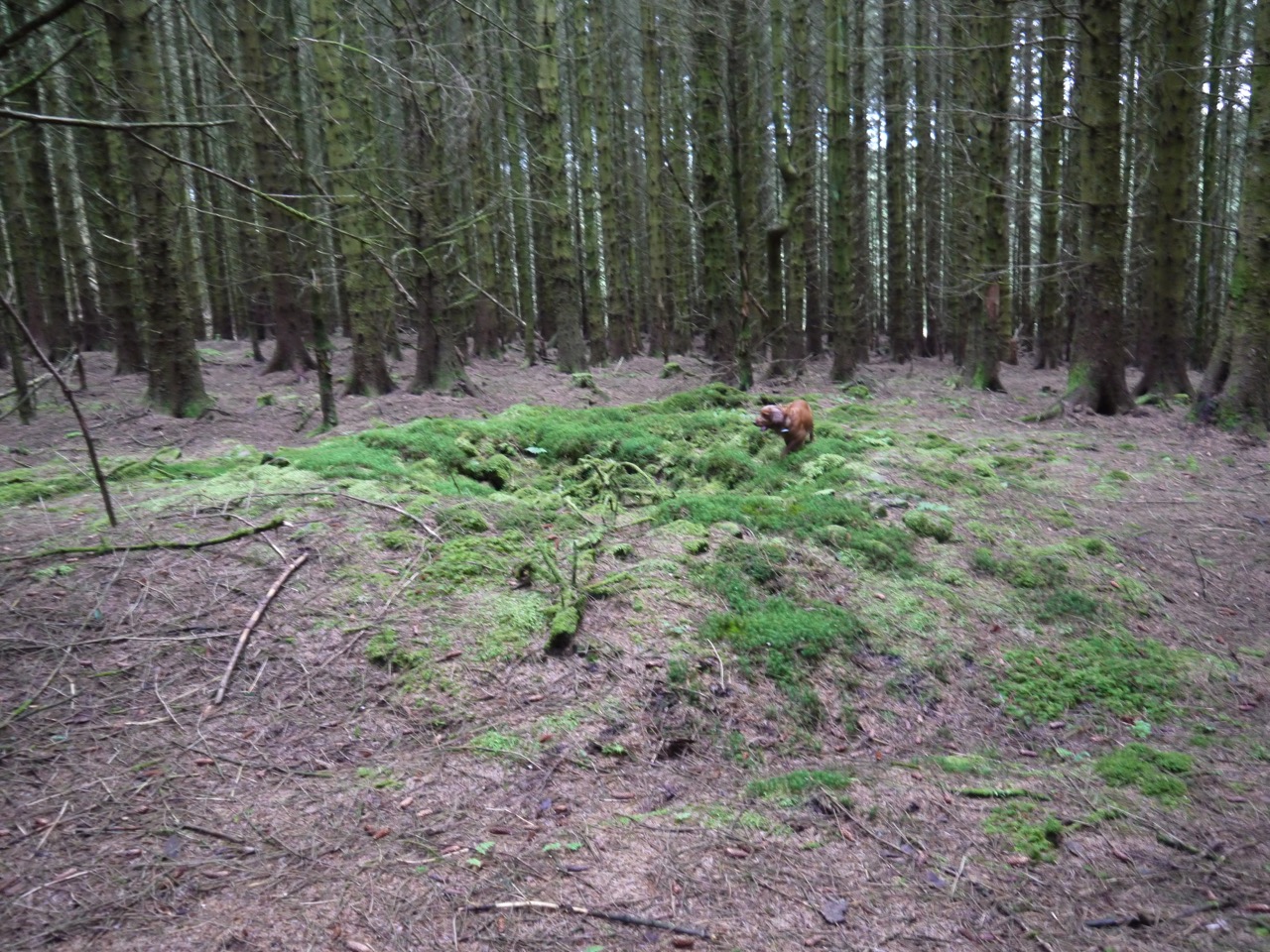
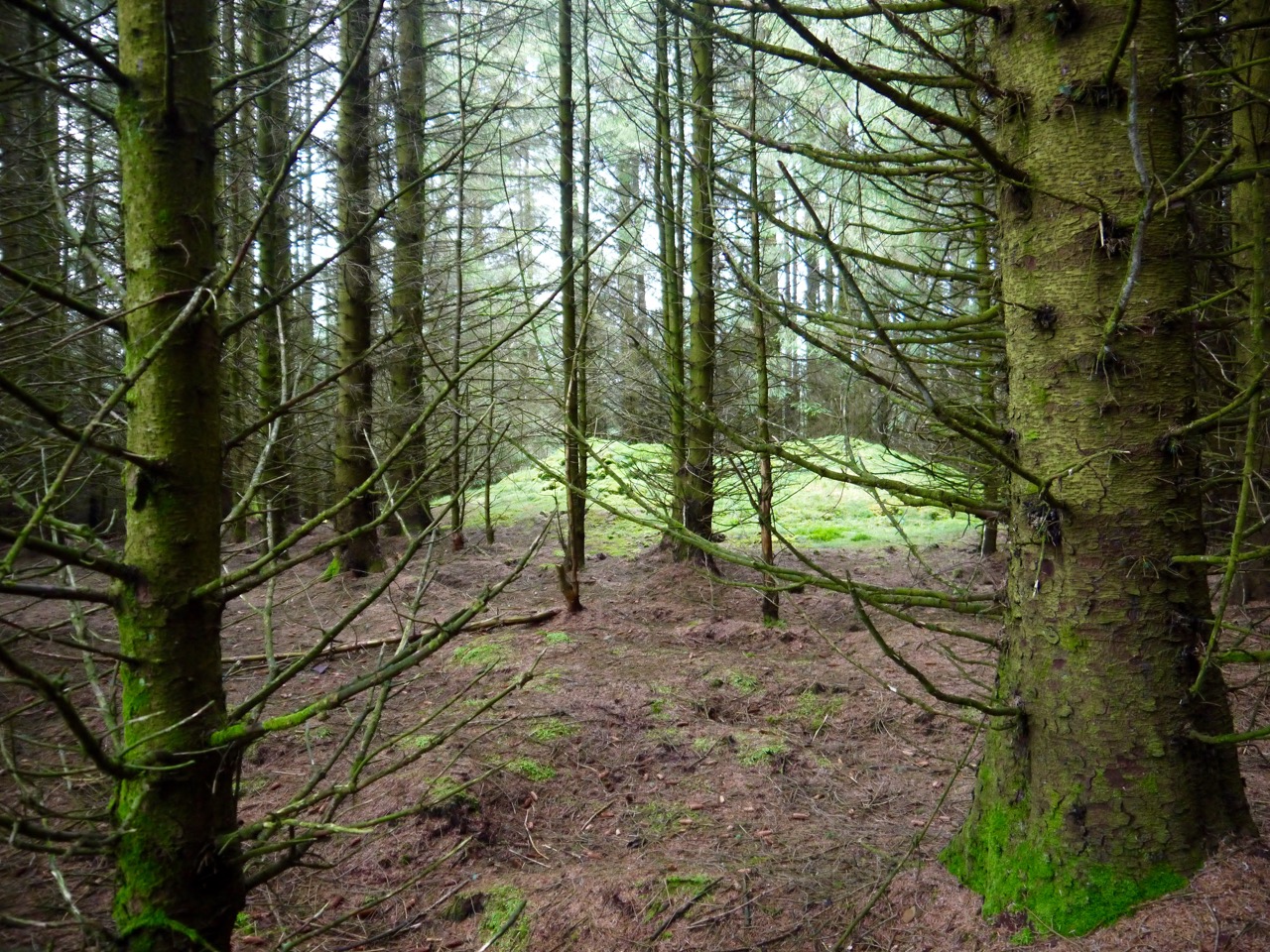
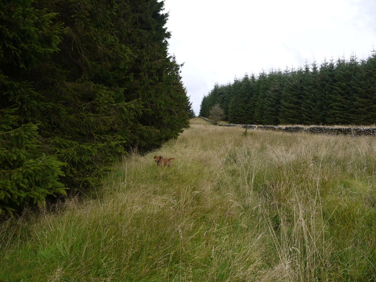
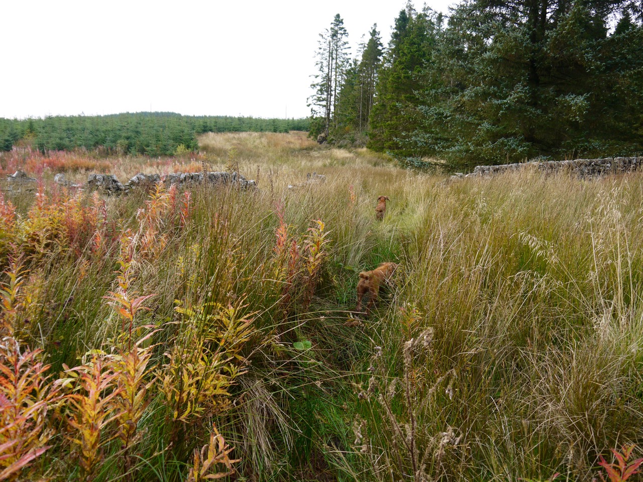
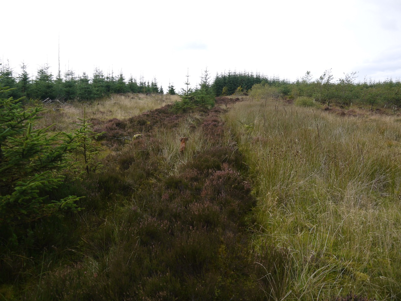
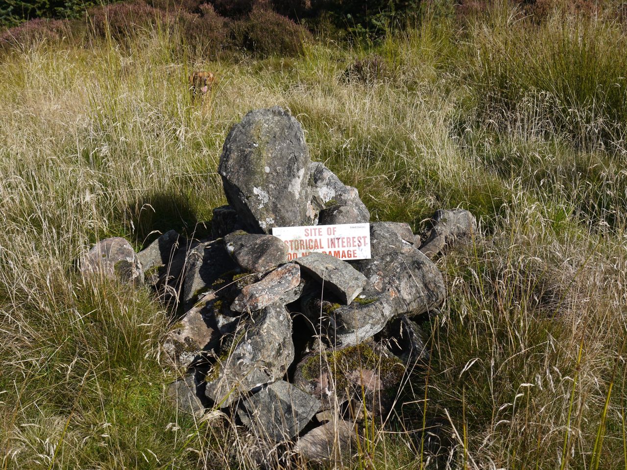
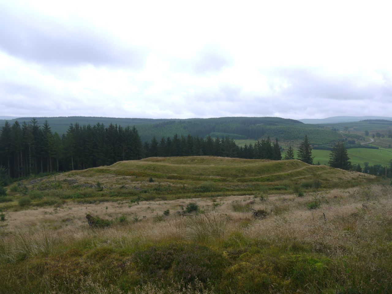
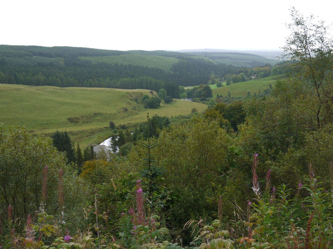
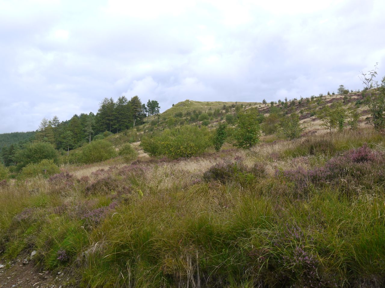
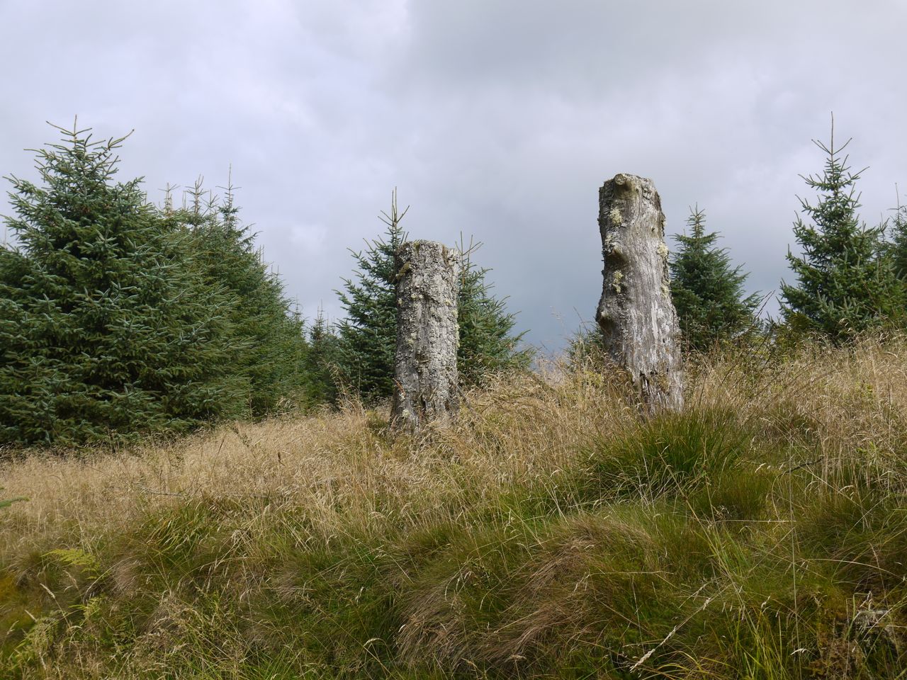
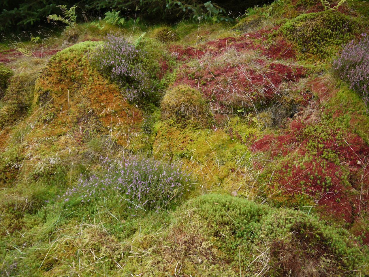
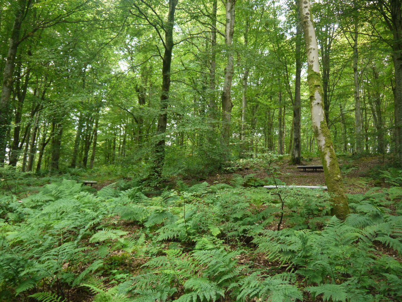
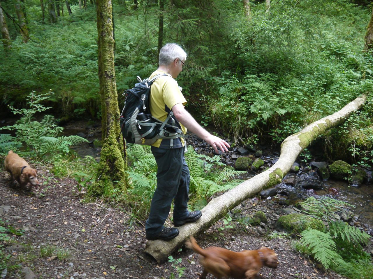
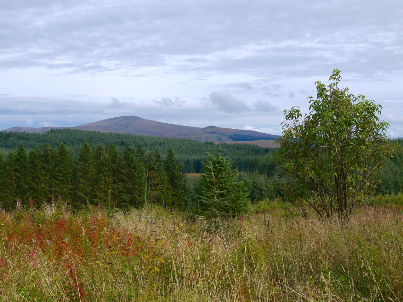 Auchencairn Forest